
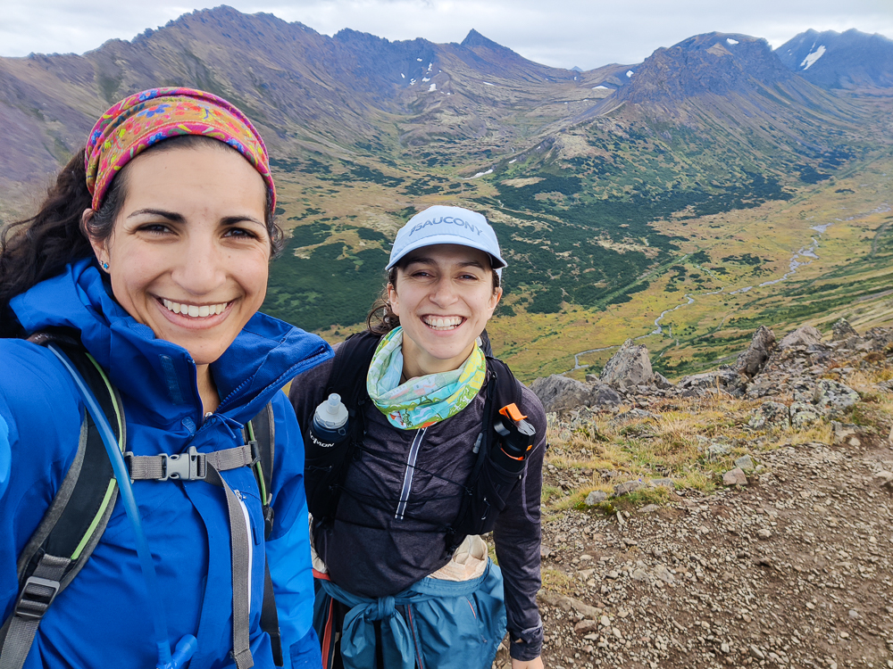
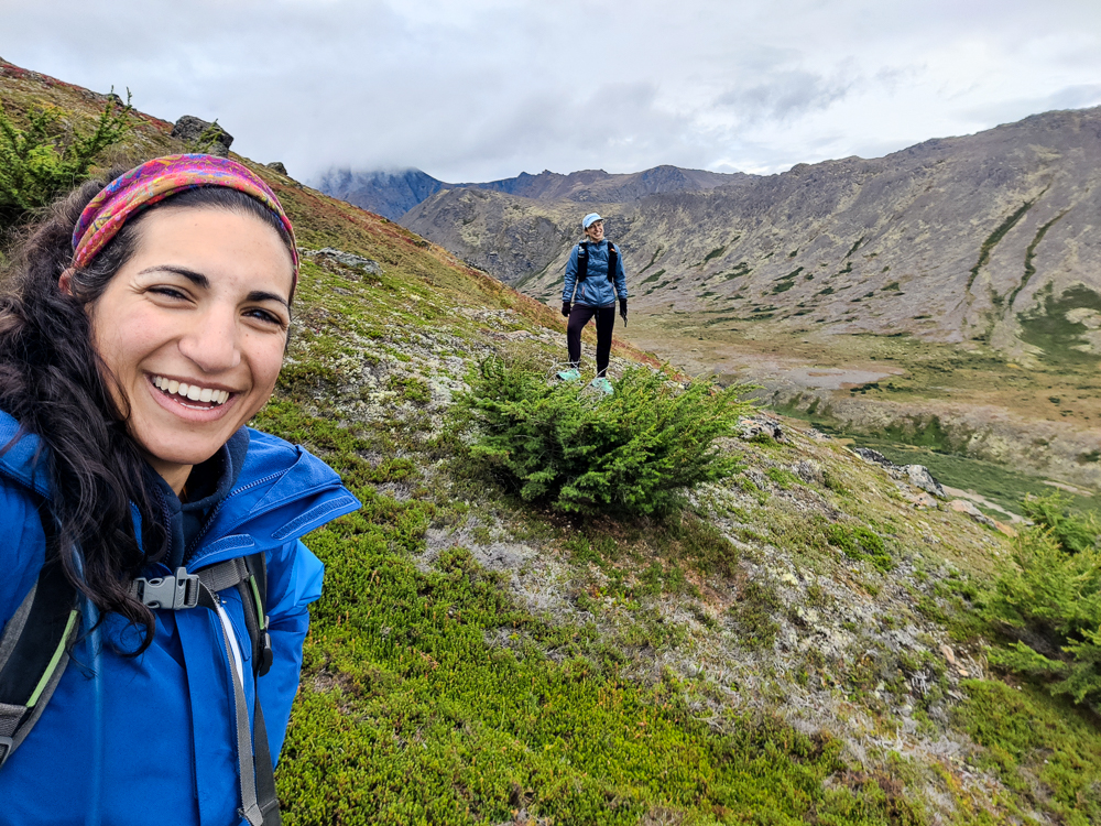
When I signed on to visit Olivia in Alaska, she asked what I wanted to do while I was there. I was up for anything, but I definitely wanted to do some hiking. I love to hike, and Olivia and I are well-matched hiking buddies (the same amount of crazy but also appropriately cautious). We didn’t travel too far from Anchorage, but there are plenty of awesome hikes in and around the city. In fact, Chugach State Park, which supposedly has over 280 miles of maintained hiking trails (you’ll soon see why I say “supposedly”), is mostly located within the municipal limits of Anchorage (a fact that Olivia repeated anytime I said something about hiking near Anchorage. “Actually,” she would say, “did you know that much of it is IN the city of Anchorage?” Thank you for the fact check, Olivia. I will continue to say that it’s near Anchorage).
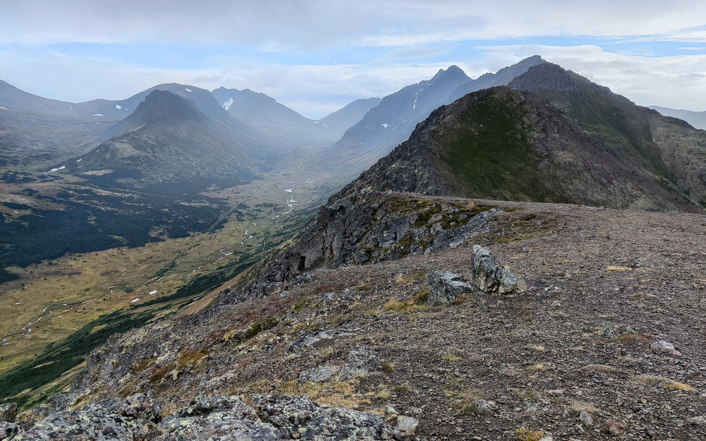
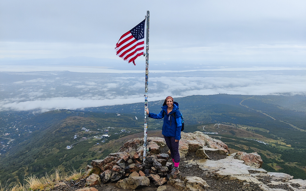
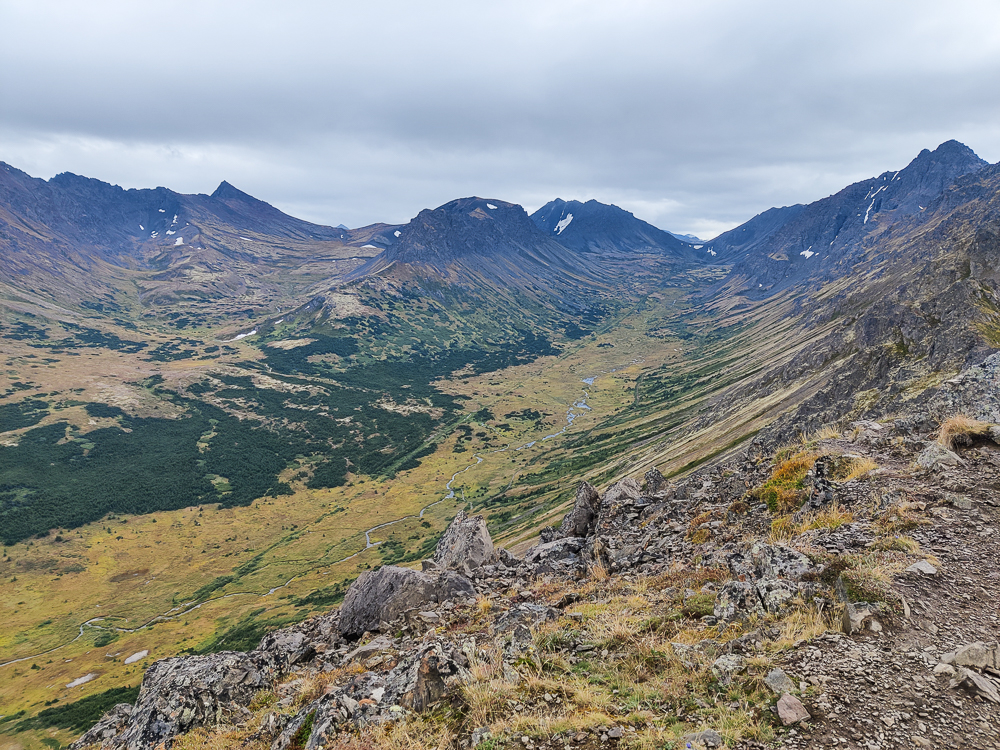
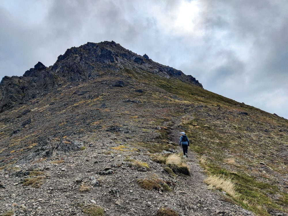
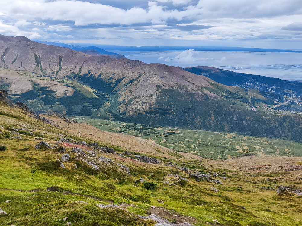
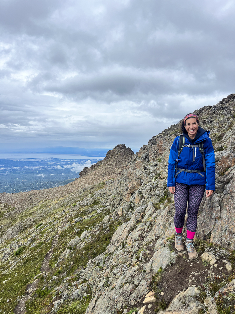
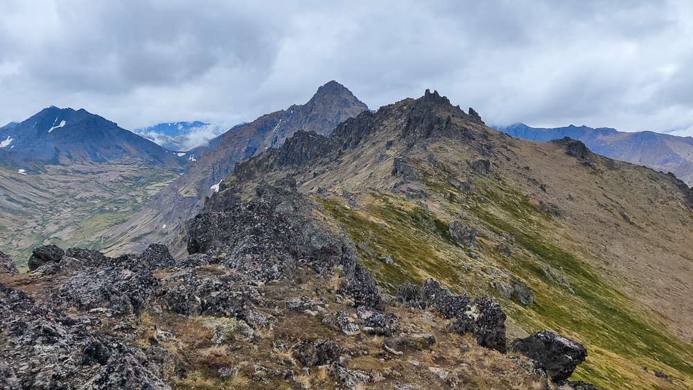
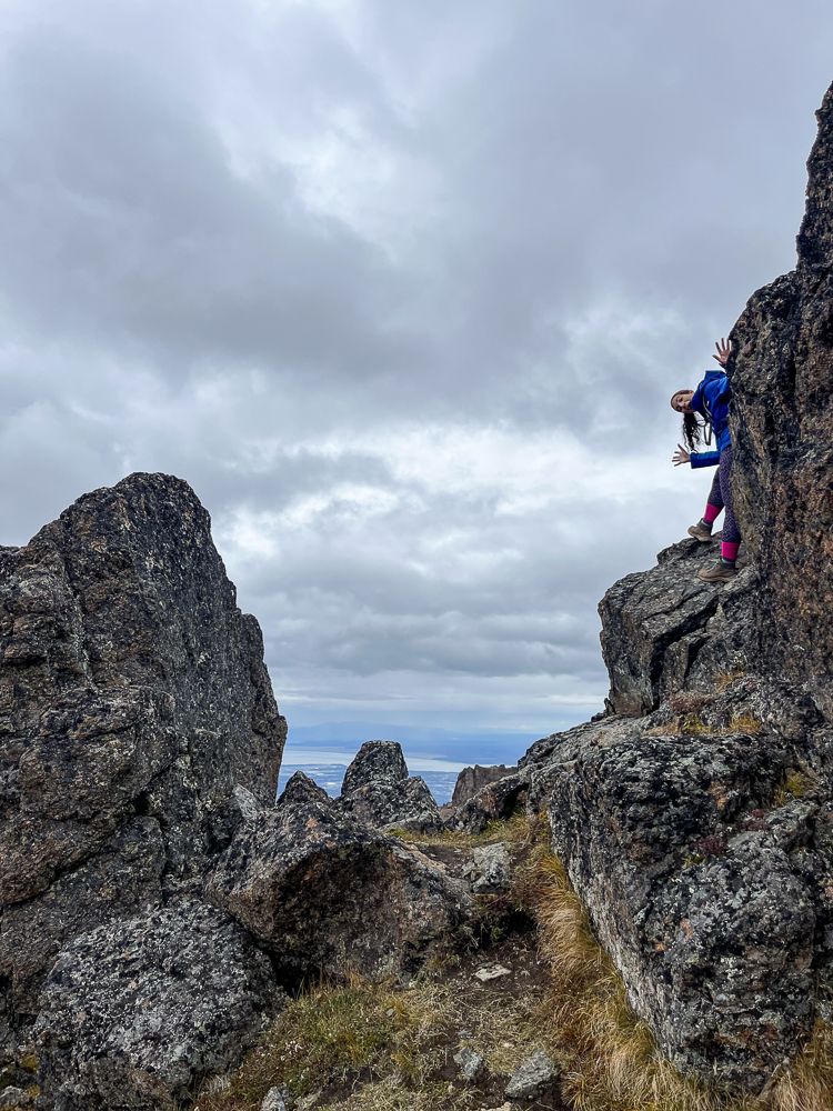
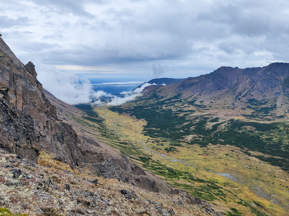
Chugach is enormous (~495,000 acres), so we didn’t explore even a tiny fraction of the park. We stuck to the area most accessible from the city which is basically made up of a few different mountain ridges. We had a couple of hiking days where we followed a ridge, hitting as many peaks as possible along the way. The plan for our first day was to hike around 9 miles and visit four peaks. The first, Flattop, is the most climbed mountain in Alaska. Olivia said she’s been there a million times. From there, though, we kept going which was a first for her. Based on how few people we saw after leaving Flattop, I’d say most people are content to turn around after visiting just that one.
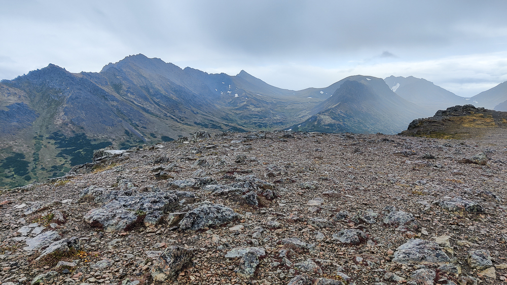
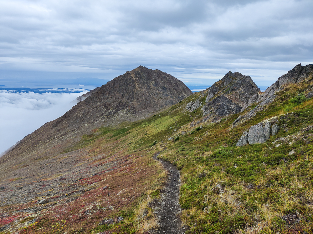
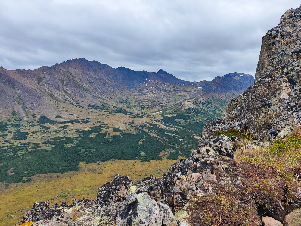
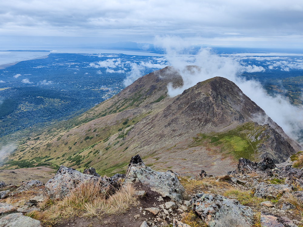
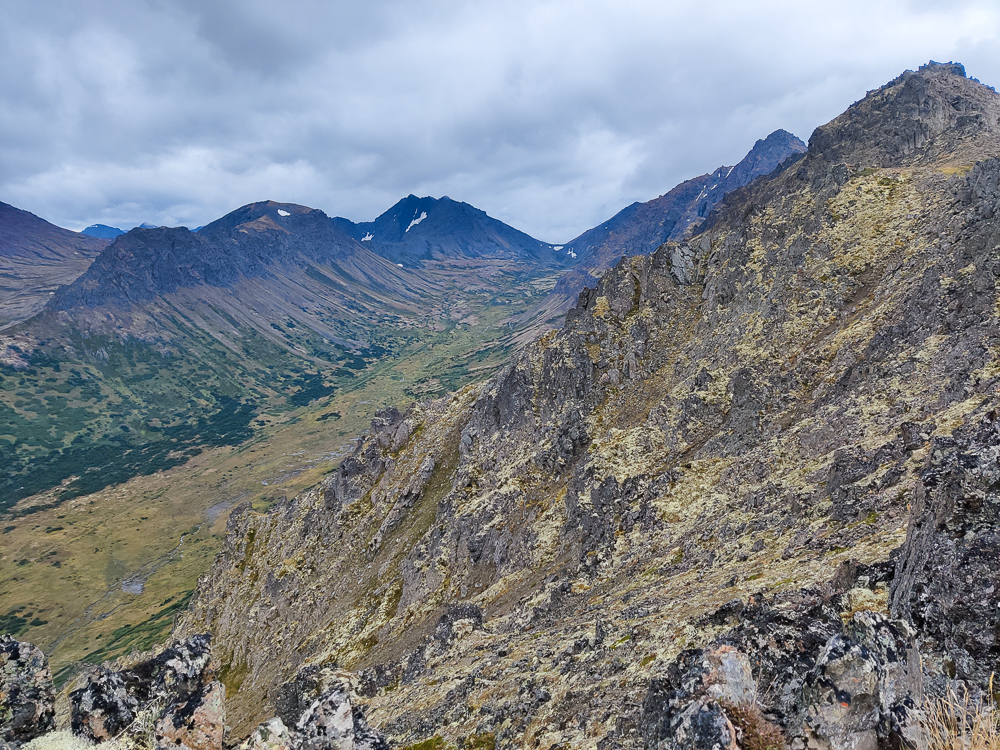
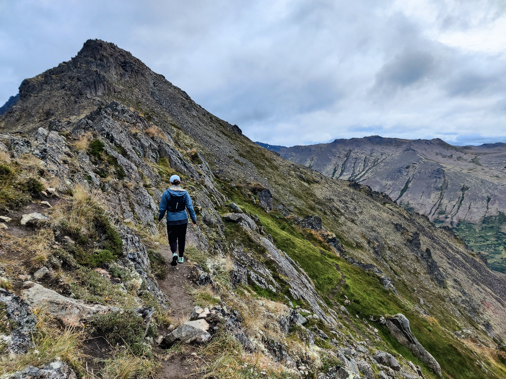
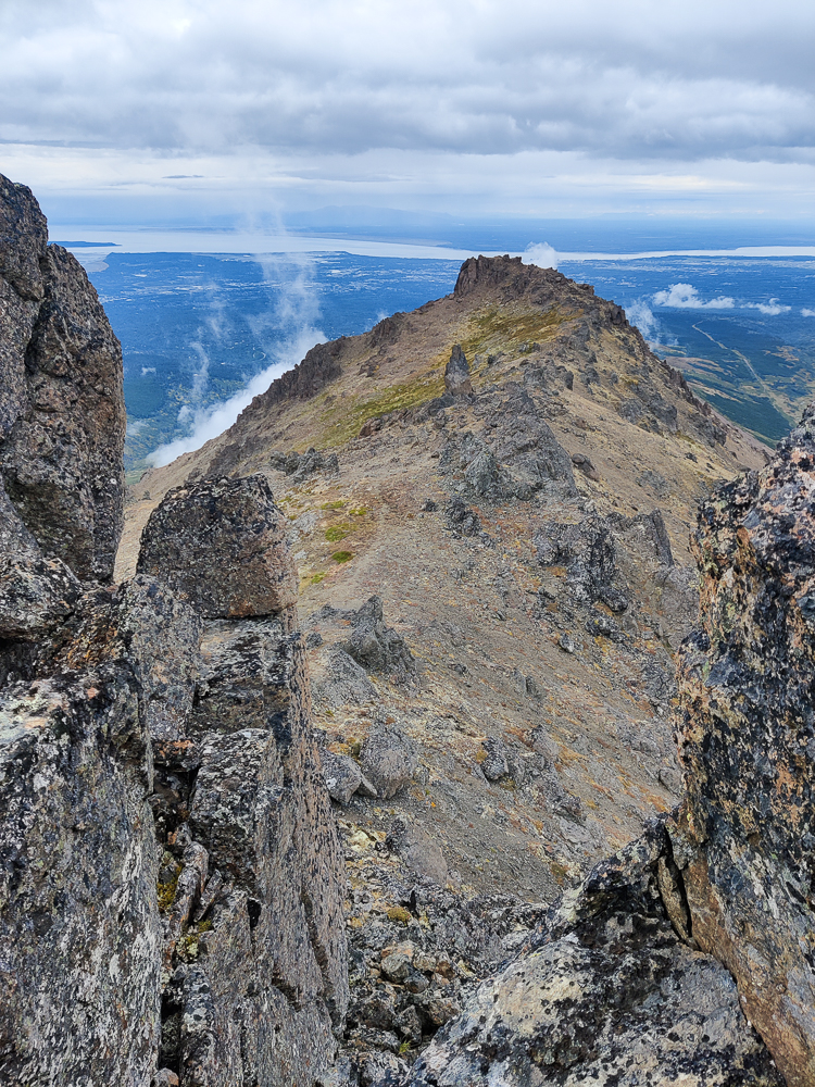
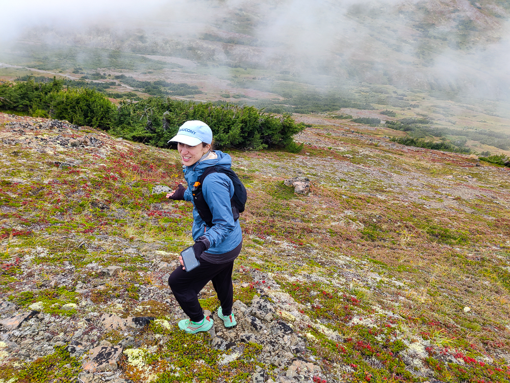
The next two peaks are creatively named “Peak 2” and “Peak 3”, and the last one is Flaketop. To travel between peaks, the trail runs along the ridge. Since this is a less-traveled path, staying on track was a little iffy. Sometimes, the trail was super easy to follow. For example: walking through a grass-covered area and sticking to the non-grass-covered line. Other times, it was less so. For example: walking through a rocky area and trying to determine if this patch of exposed dirt seems like the trail… or is it maybe that patch of exposed dirt over there? I wouldn’t have been opposed to the use of some trail markers. I’m just saying, a couple of paint blazes wouldn’t hurt anyone.
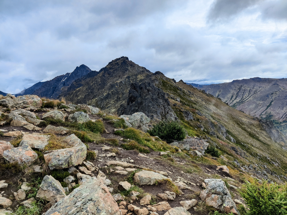
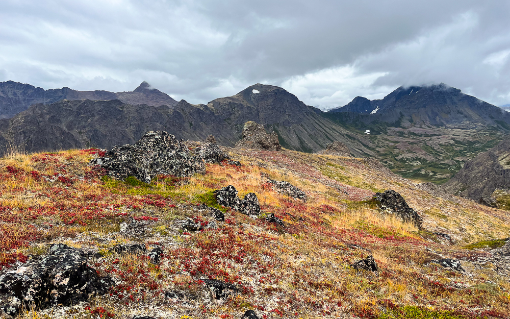
Also, this may come as a surprise, but Peak 2 and Peak 3? Not the most defined peaks I’ve ever encountered. We did some, “Do you think this is the peak?” “No, my GPS is showing it somewhere over here… do you think this is it?” I think we probably found them. Let’s just go with yes.
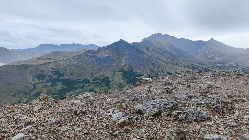
Ambiguous peaks/trail aside, we did okay getting from Flattop to Flaketop. We certainly didn’t take the most efficient route, but we mostly managed to stay near the trail. There was a lot of map checking and course correcting. This was possible because while the trail wasn’t necessarily CLEAR, it did exist, so if you started walking in the right direction, at some point you’d think, “Ah, yes! Here’s the trail!” and start to follow that. (Was it actually the trail? Who knows. But at least there was something trail-like enough to convince you that you might be in the right place.)
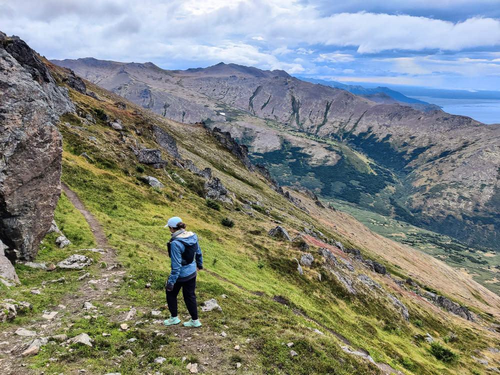
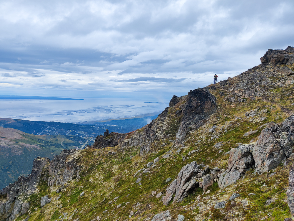
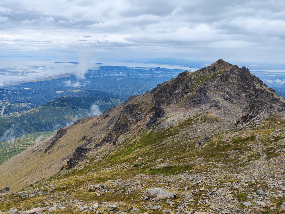
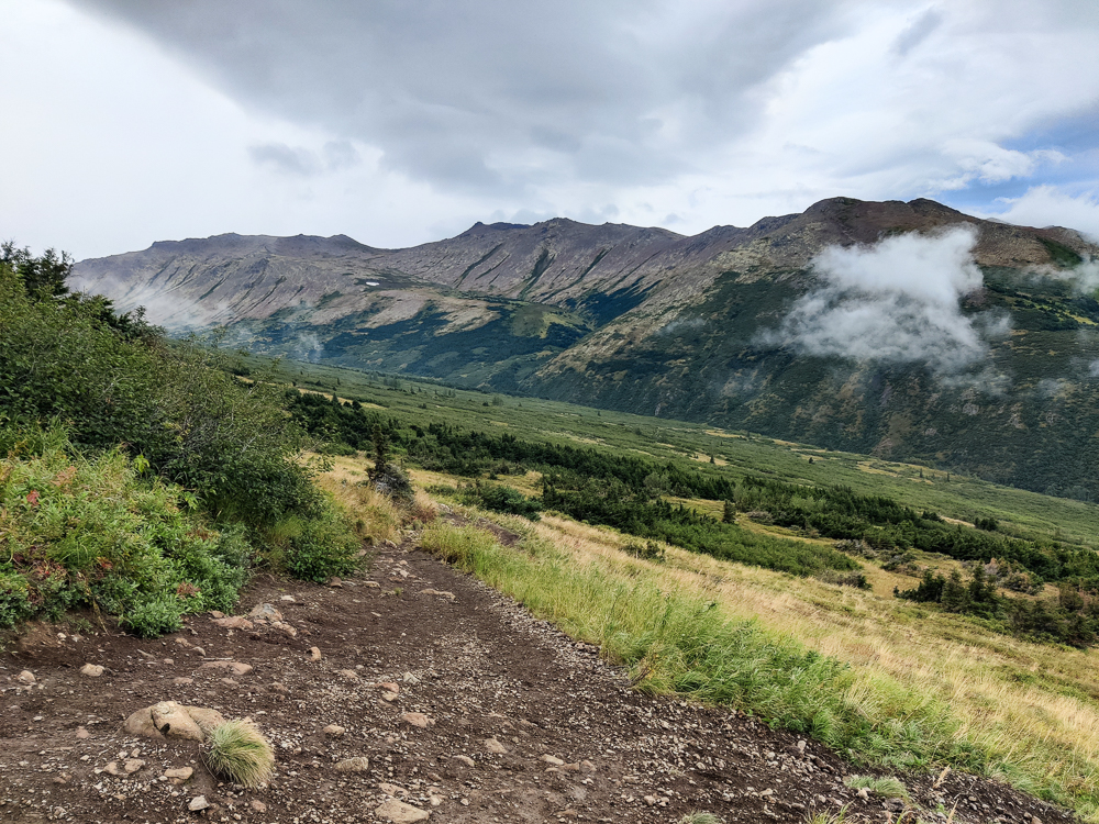
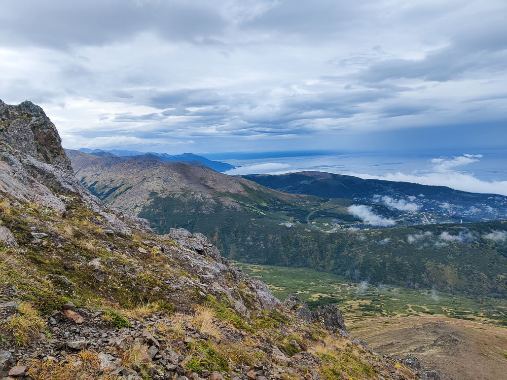
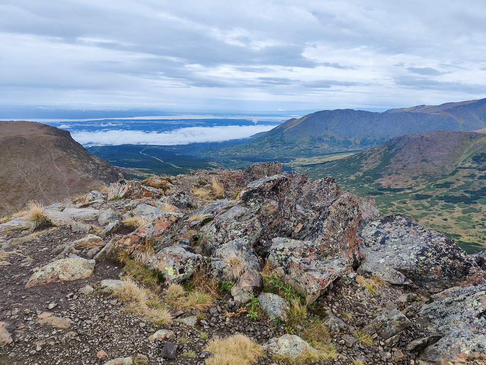
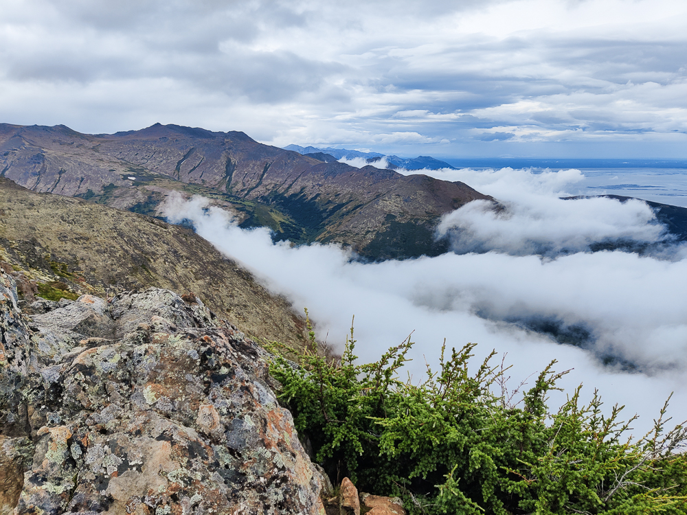
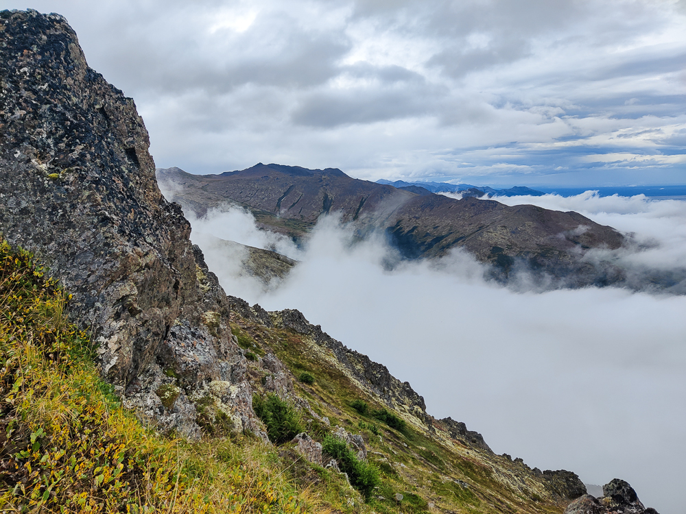
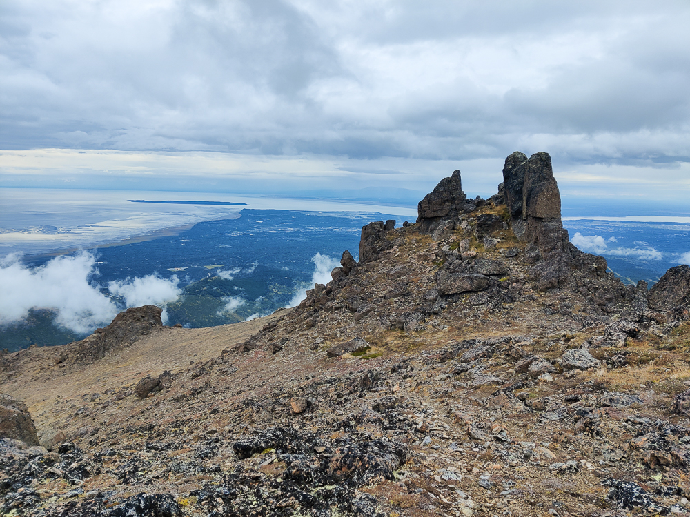
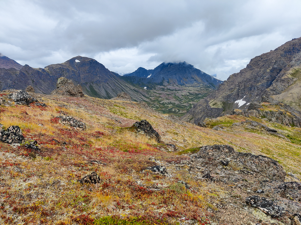
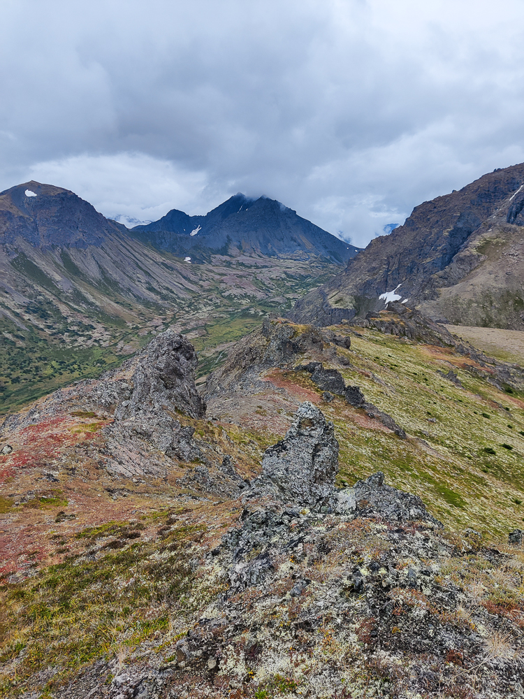
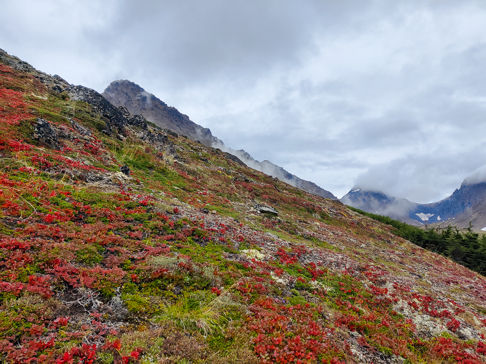
After Flaketop (a much more commanding peak than Peaks 2 & 3), things started going downhill. As in, we began descending, and also as in, the trail quality took a dive. There was just… nothing. We’d follow a maybe-trail until we found ourselves at the top of a sheer drop off saying, “Hm. This is probably not right.” We’d check the map and see that we were WAY off course. Then, we would “find the trail”, but that just meant that our little GPS dots looked like they were in the right place. Sometimes, we would insist that we really did see a trail. “Oh yes! This is totally it!” one of us would say, as the other person nodded with great enthusiasm but weak conviction. Then, one step later, the hint of a trail would be gone again. Repeat. Repeat. Repeat.
According to our maps, we were headed for a junction with Ptarmigan Pass Trail, our route for the next leg of the hike. As we struggled down the mountainside, we staked our hope on that transition. “That one is probably more popular, right?” “It can’t be worse than this, right?” “Don’t let me down, Ptarmigan!” I’m sure you can guess where this is going.
We overshot the imaginary junction. How could we not? We were on an imaginary trail, headed for another imaginary trail. I started yelling about how it should be called Pterodactyl Trail because it was extinct. This felt funny at the time, if that tells you anything about how we were doing mentally.
Olivia and I kept checking our maps. “The trail should be just over here.” “Mine shows it right over here.” I kept thinking that our GPS must just be a little off. It’s never perfect, plus we had no cell service which doesn’t help. Eventually, though, we determined that there was no trail. I wish I could say that we gave up on trying to follow it, but we didn’t. After all, the trail could magically appear at any second! Right? (Spoiler: wrong.)
The more we walked, the loopier we got. My terrible pterodactyl joke apparently wasn’t enough for me, so I kept going, asking Olivia if she was on the trail yet or pointing literally anywhere and saying, “I think that’s the trail there!” or, seeing that my GPS dot was in the “right” place, “Look! Can’t you tell that I’m on the trail?” Olivia was actually laughing at all of the jokes, so again, you can make your own call about how we were doing.
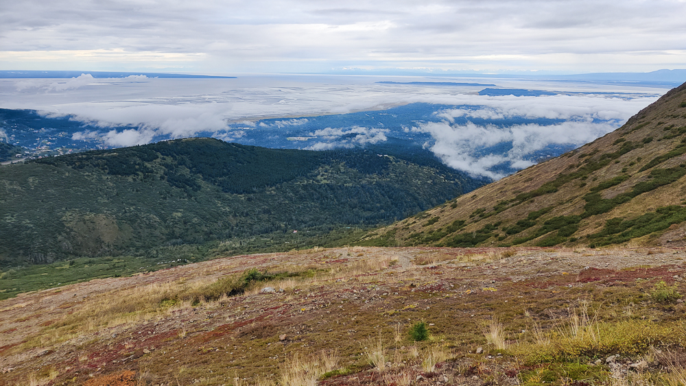
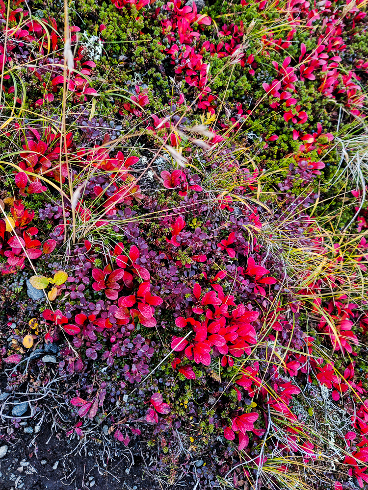
The only positive I can come up with is that this “trail” was carpeted with little ground-cover-type plants that made the descent really nice on the knees. The negative is that you’re generally discouraged from going off trail to keep from killing things like little ground-cover plants… but we didn’t have much of a choice. We figured that no one was ever going to replicate our steps, so the plants would probably be fine.
There was a small part of me that felt like we were never going to get down to the bottom. Then, out of nowhere, this beautiful, bold trail came snaking up towards us. I was indignant, “HECK NO. There is NO WAY the whole trail was like this, and we just couldn’t find it.” No. It’s impossible. We zigzagged over every part of that mountain. There was nowhere left for it to hide.
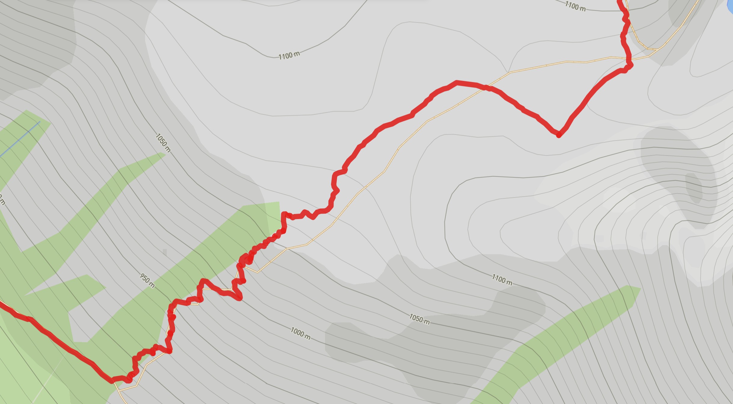
Afterwards, it was almost comical to look at the map of our route. When you look at it from afar, it looks fine…
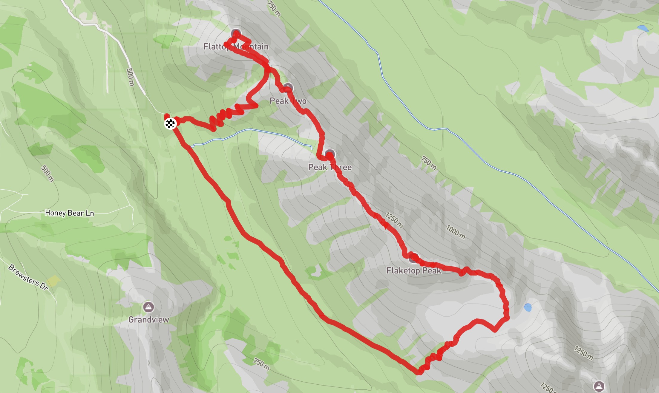
But if you zoom in, you can see the chaos.
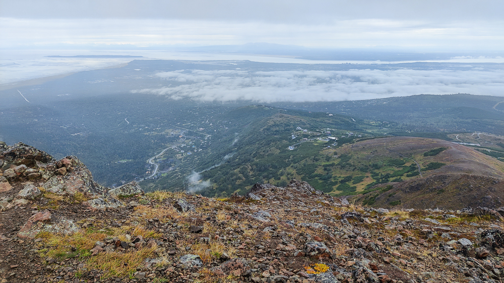
The hike ended on a good note. The last trail was glorious – wide and flat, and we couldn’t have gotten lost if we tried. Shout out to Rabbit Lake Trail. You’re my hero. We zoomed back to the car, cranking out the last 2 miles like they were nothing.
Paul Kayaian says:
Fabulous photos! wonderful storytelling, courageous effort!