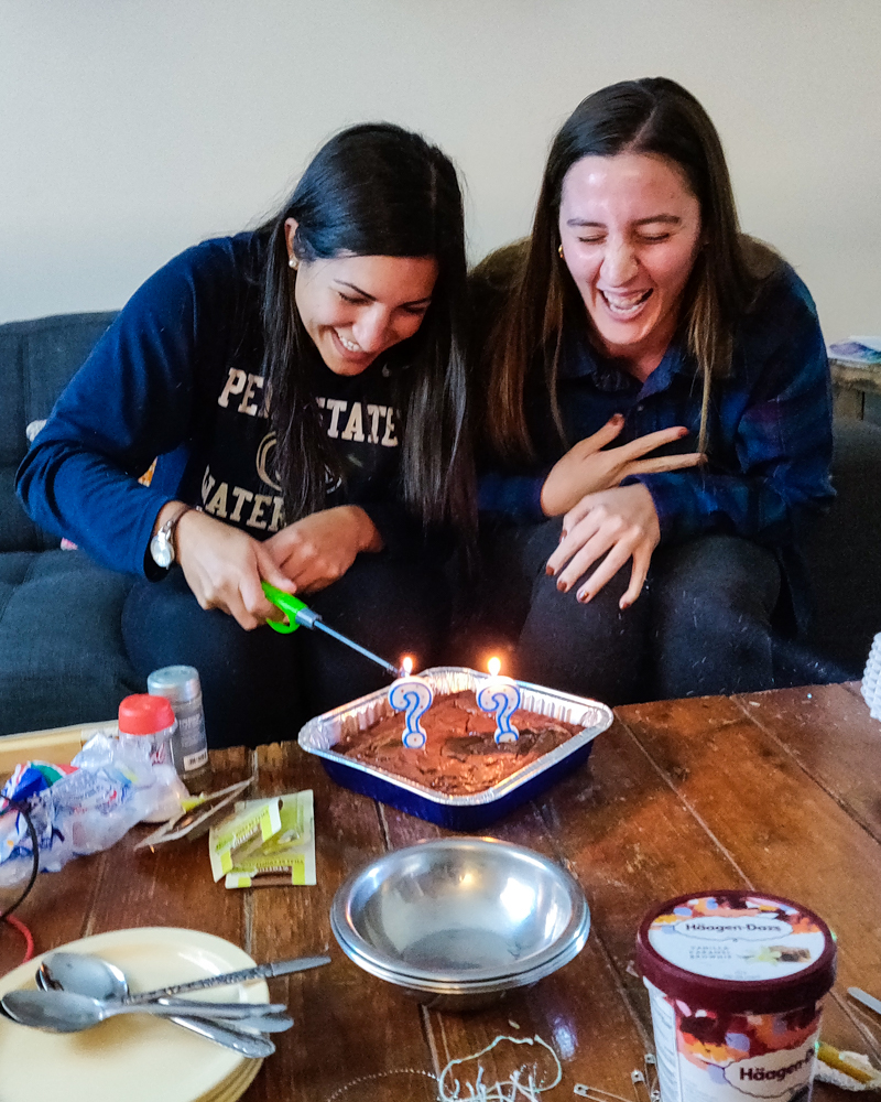
We’ve covered all of the major adventures of my trip to Alaska, so this last post is a bit of a mish-mash of things that didn’t fit in anywhere else… but I have pictures I want to share (like me feeding a MOOSE! I can’t keep that to myself!) which means you get one more post (and SO many pictures).
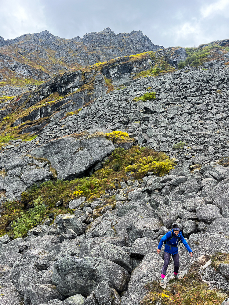
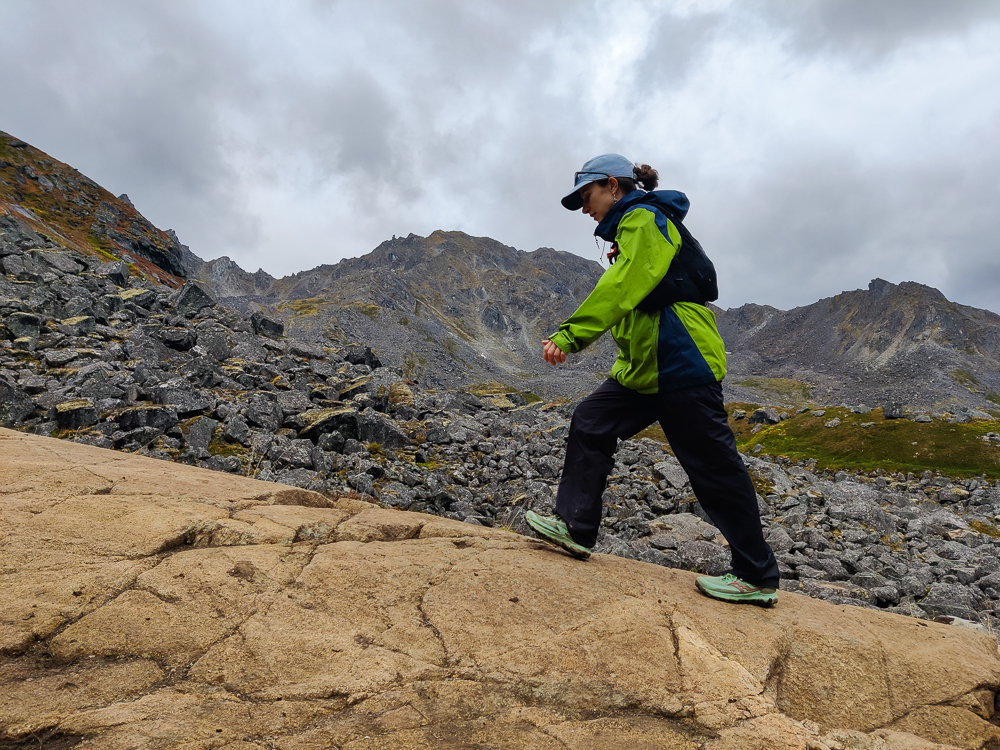
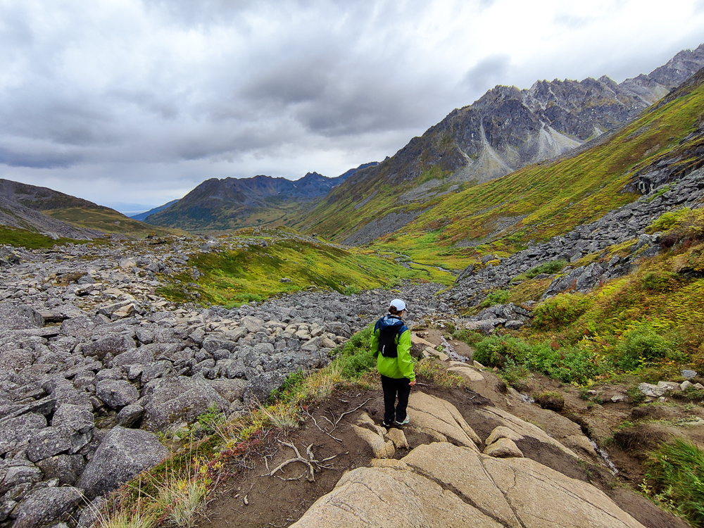
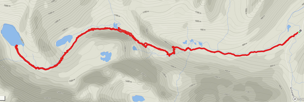
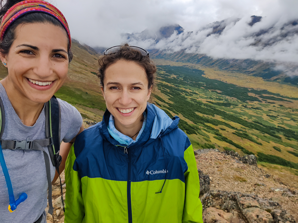
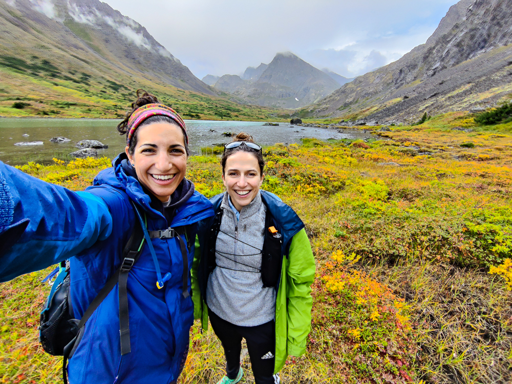
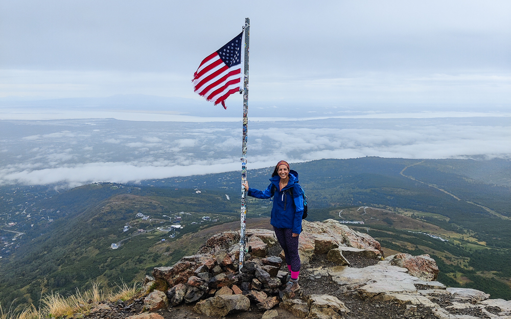
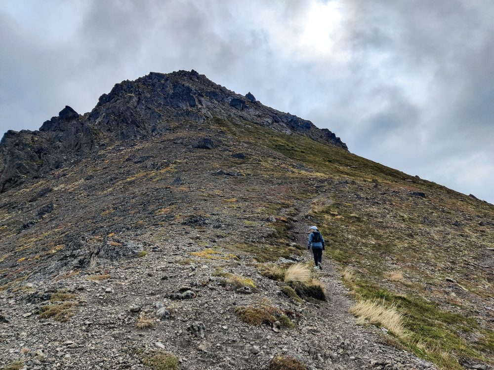
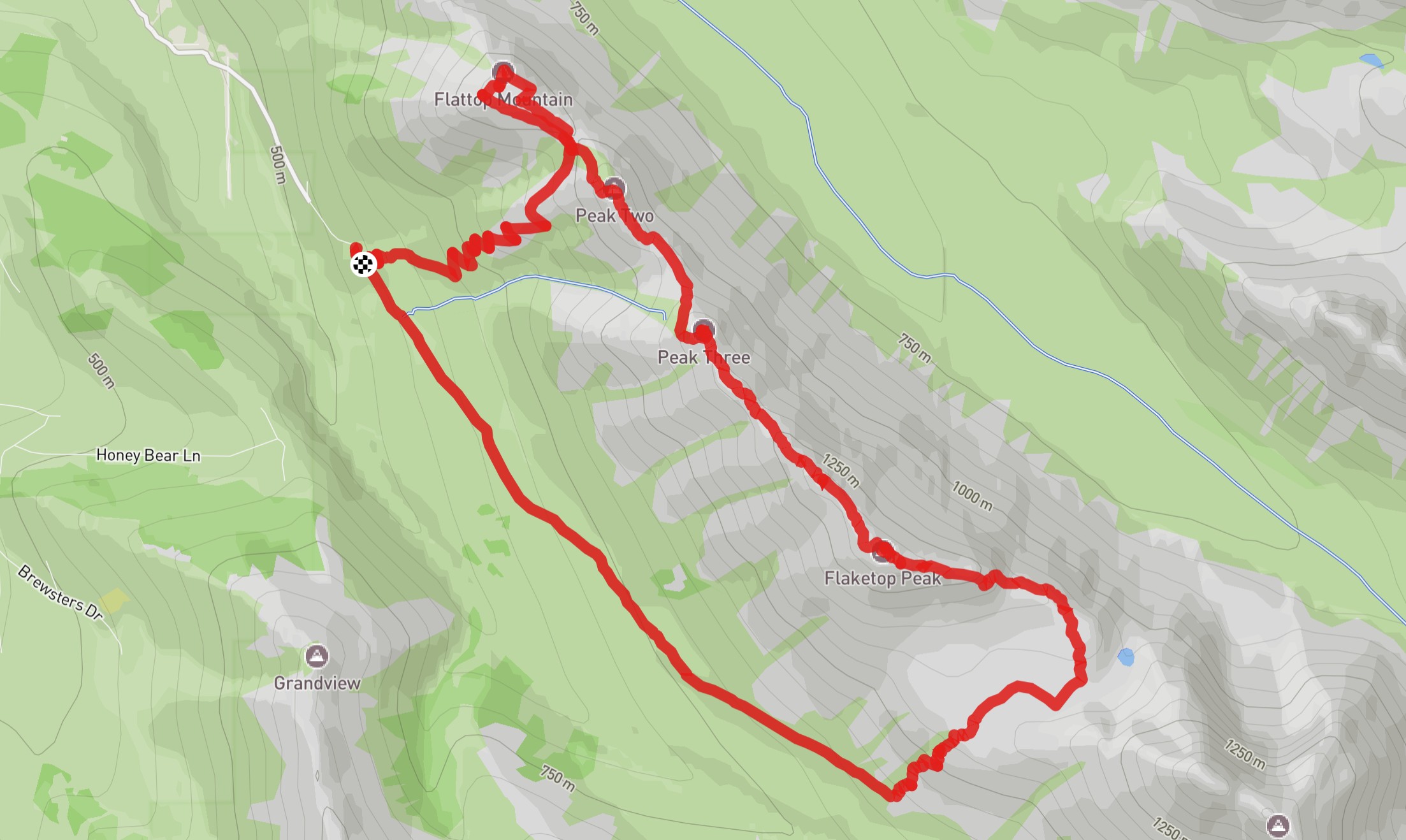
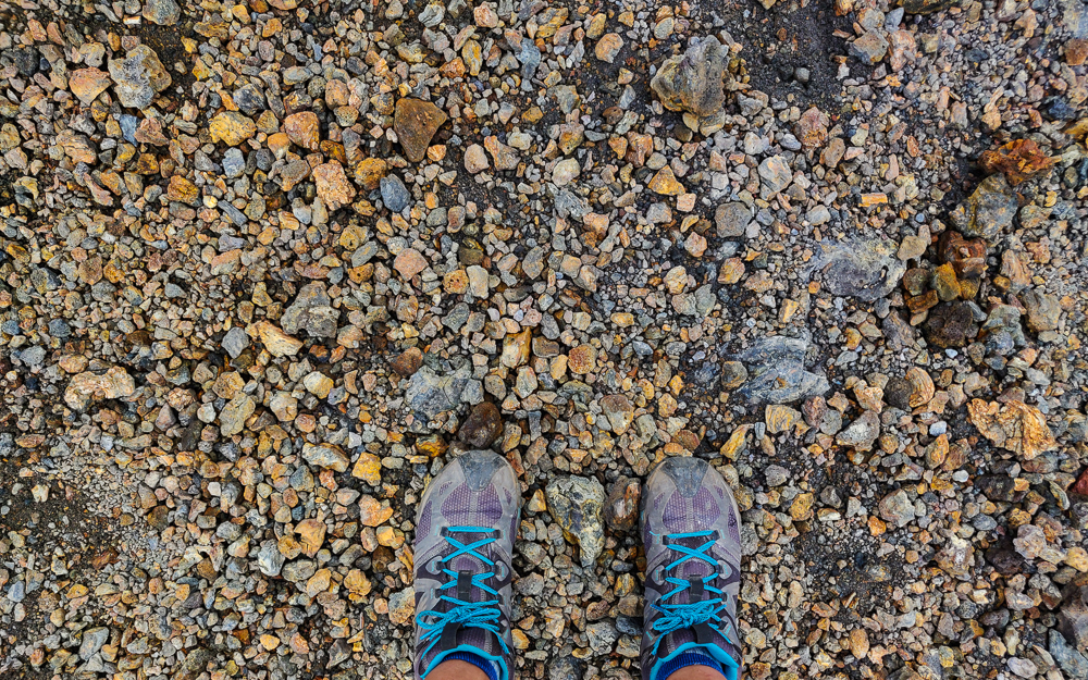
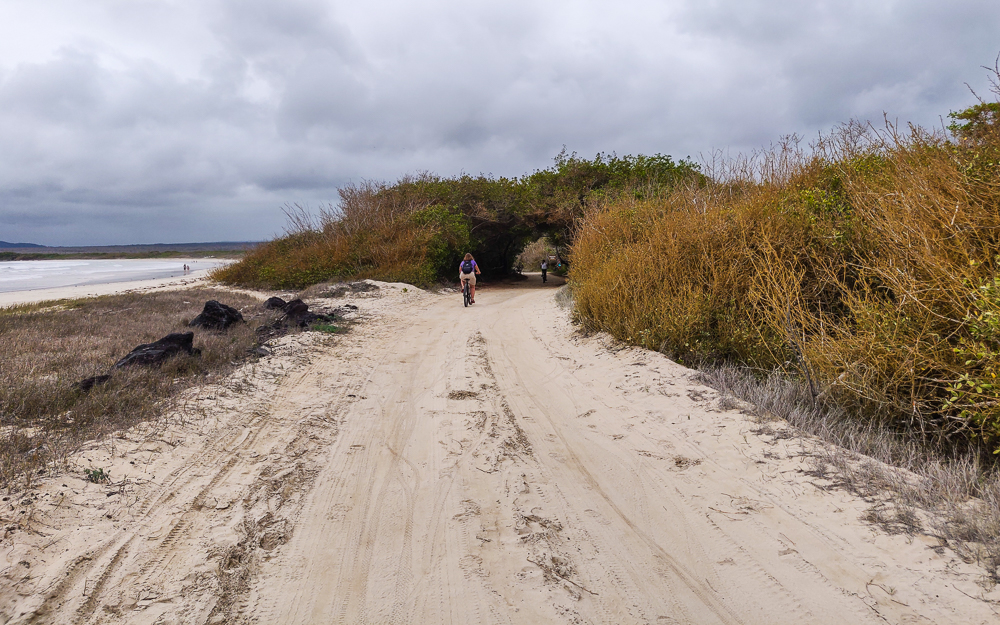
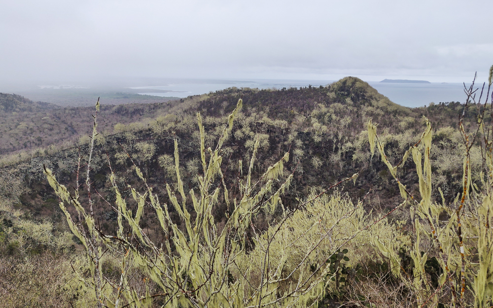
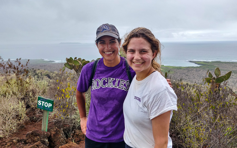
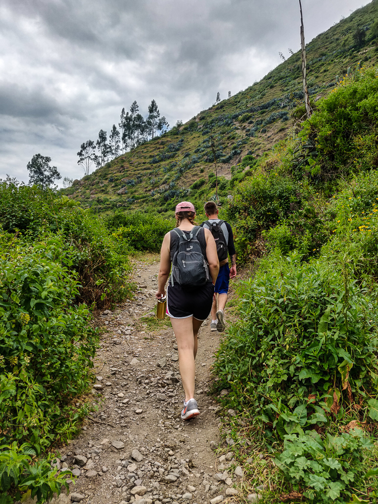
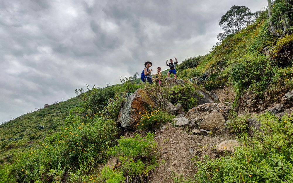
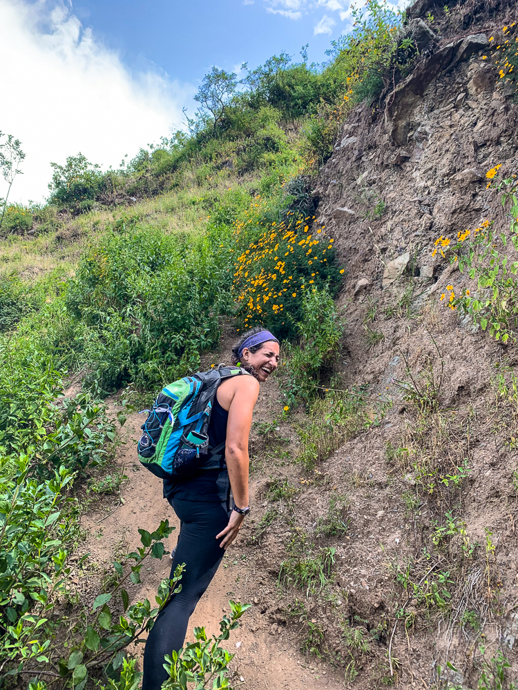
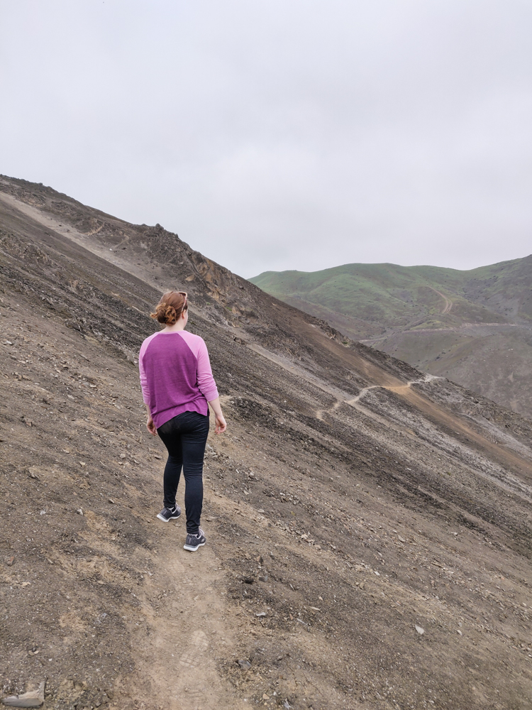
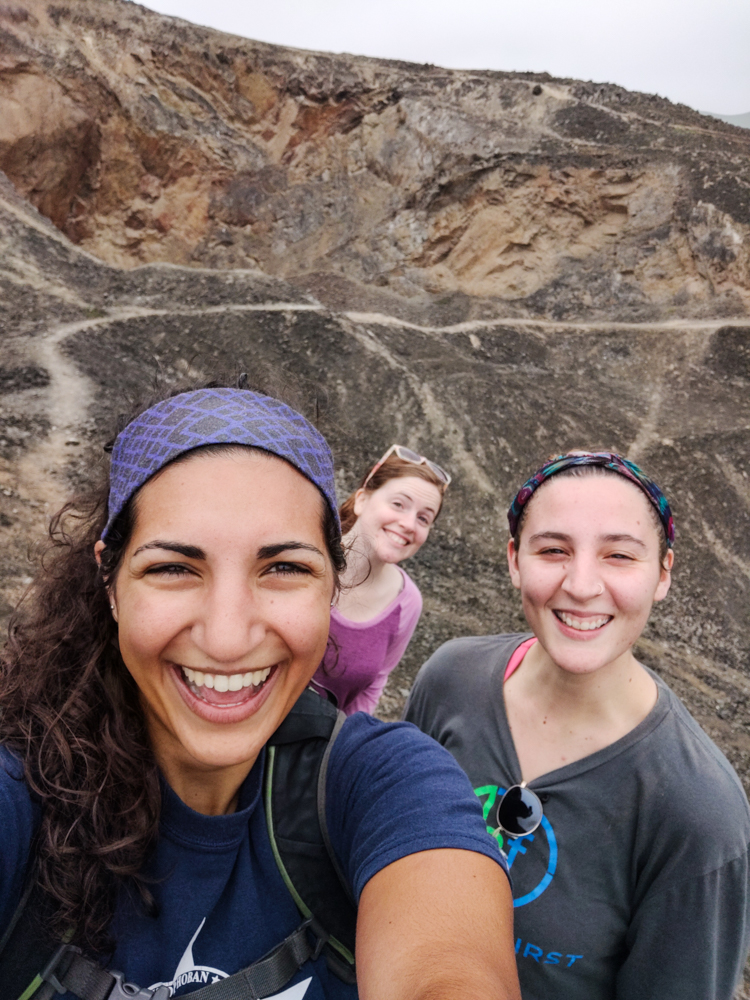
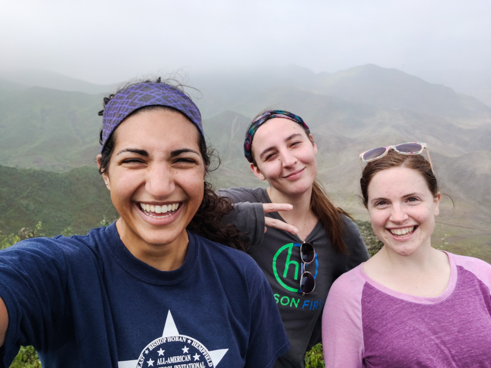
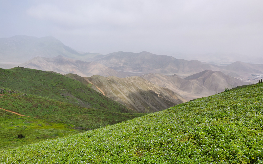
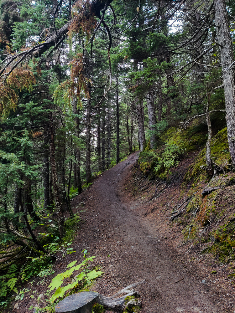
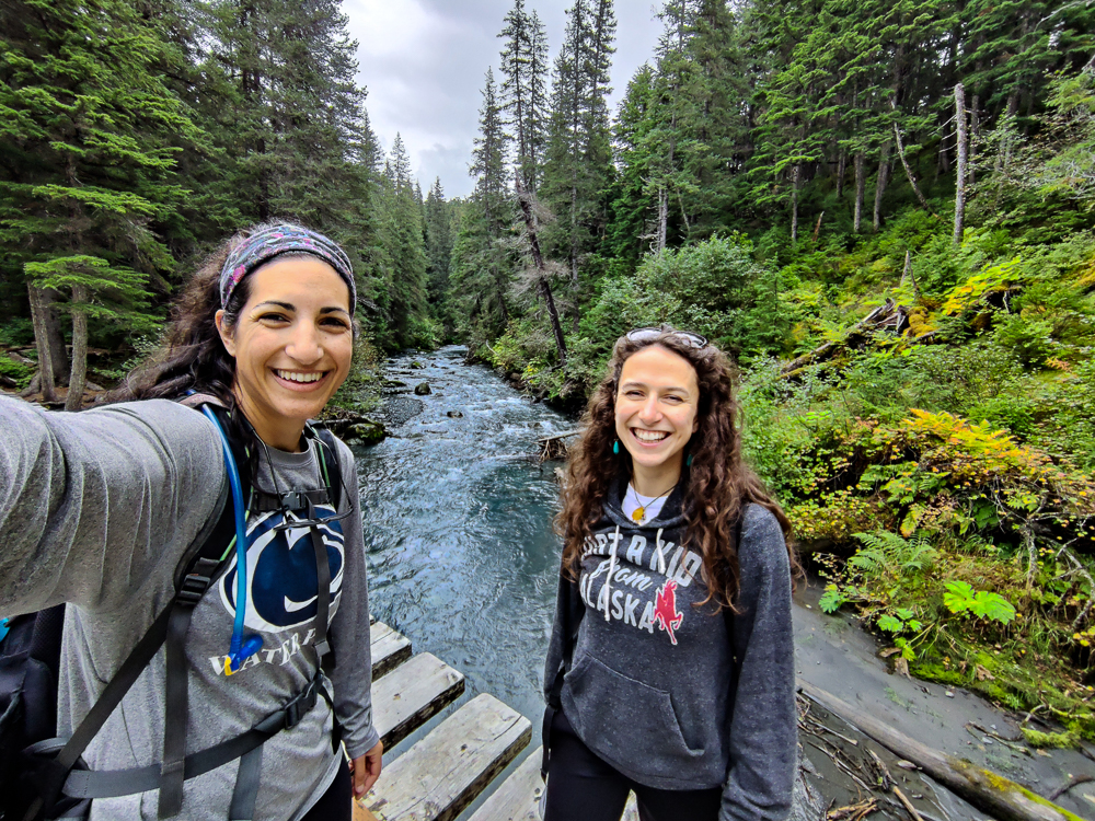
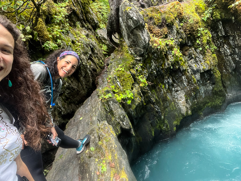
There’s one hike that we haven’t covered, and that’s because it wasn’t a full-day experience like the others. The day after O’Malley, we decided that we probably weren’t up to back-to-back, 9-hour hikes. So, Olivia’s mom suggested we do one of her favorite hikes, Winner Creek. This was a short little 7 miler… which I realize isn’t nothing, but it wasn’t a super intense 7 miles (also technically it’s just a 5-mile hike, but we innovated a bit). There was some up and down, but we certainly weren’t climbing a mountain. I was happy to have an opportunity to get moving and still give my body the recovery day it wanted.
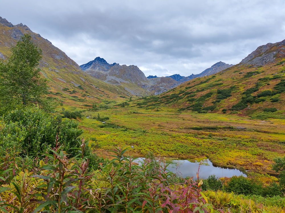
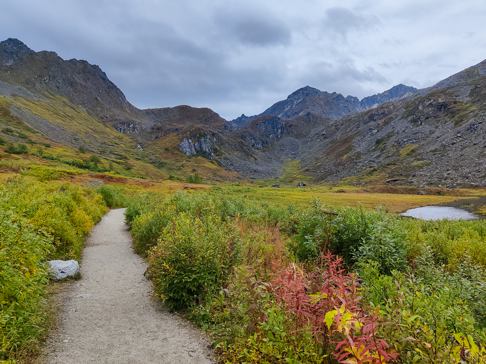
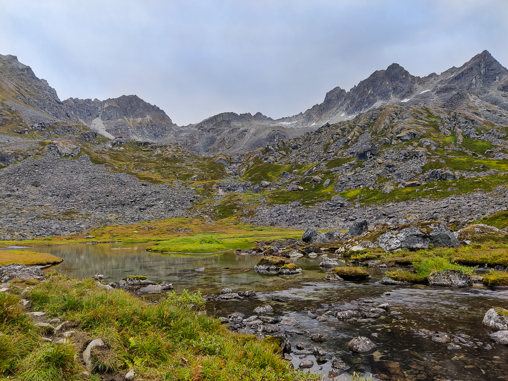
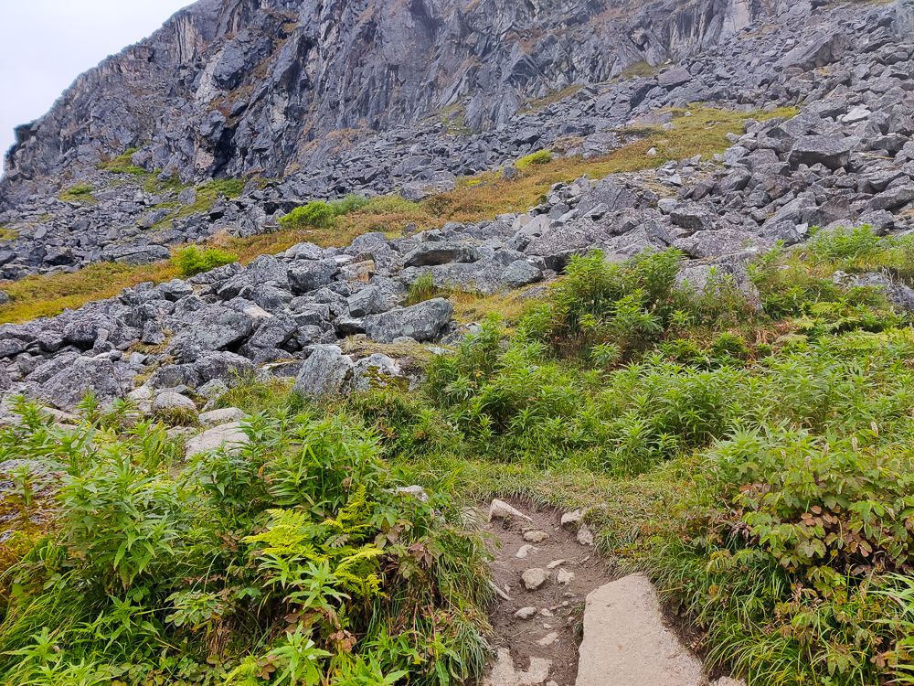
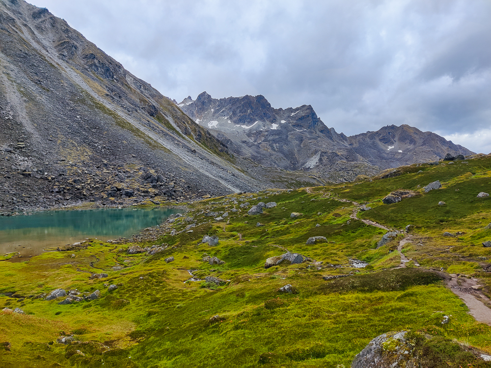
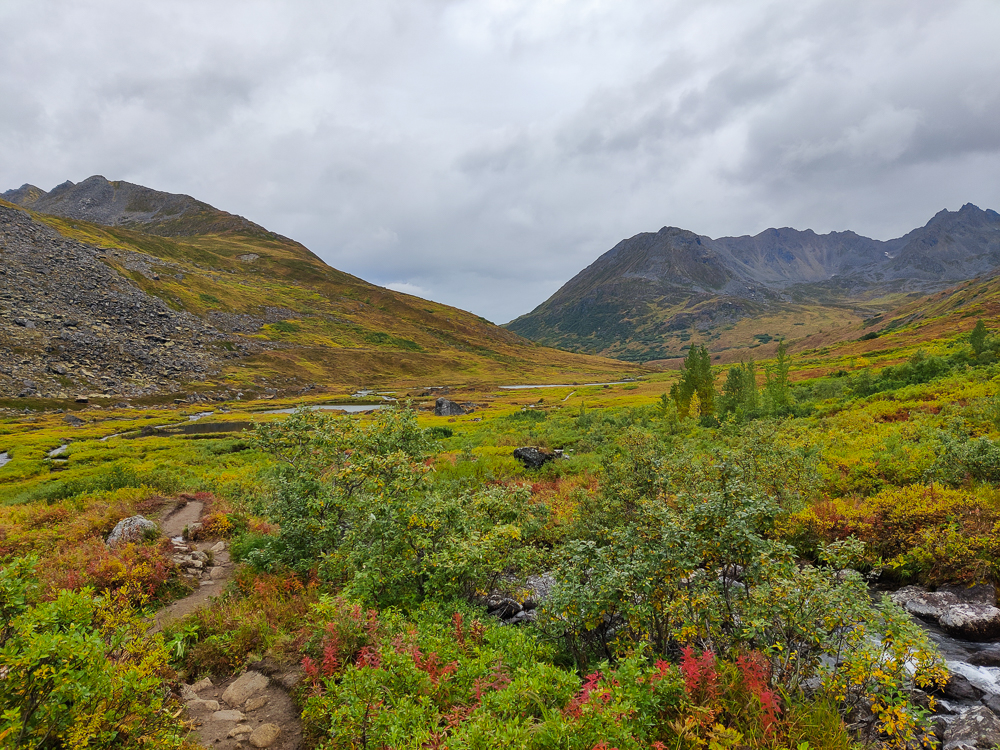
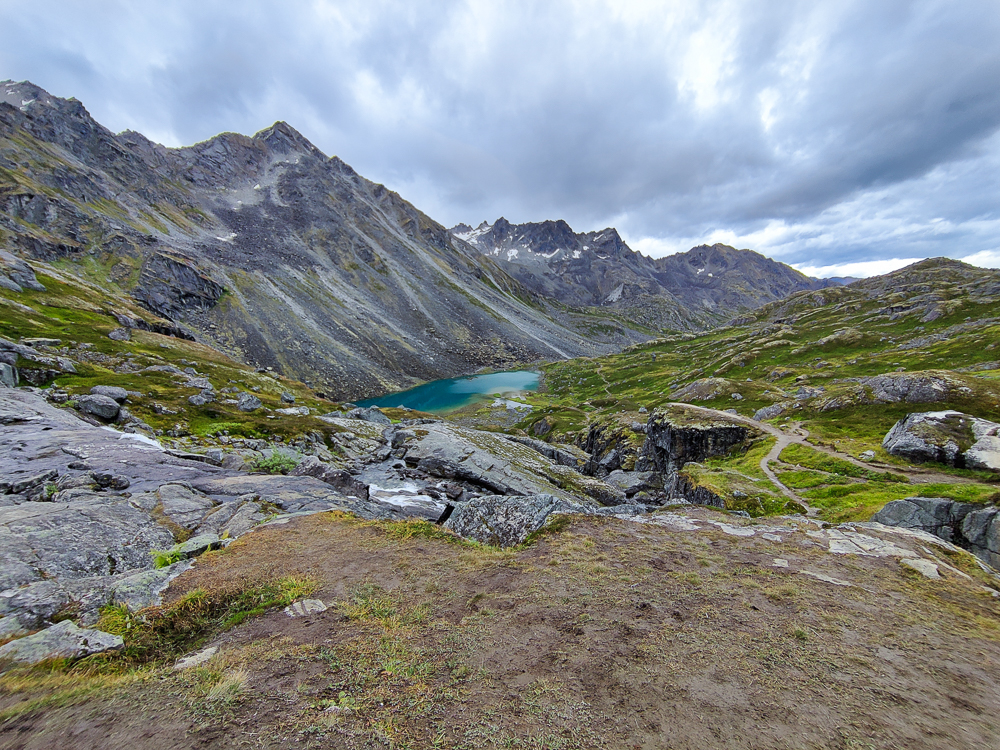
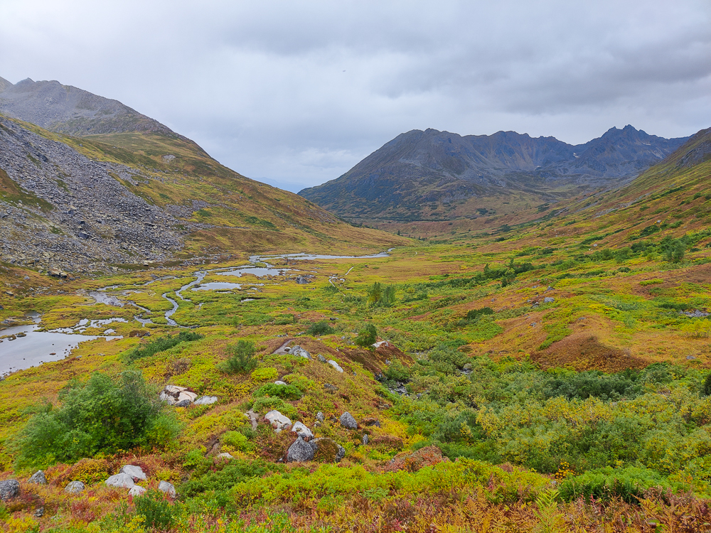
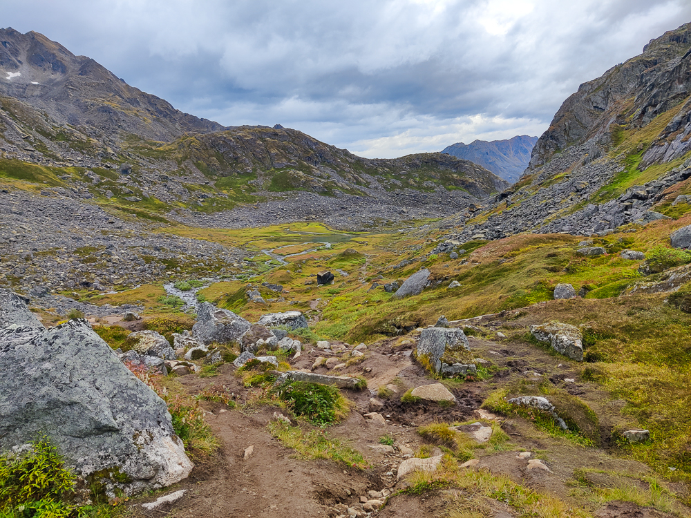
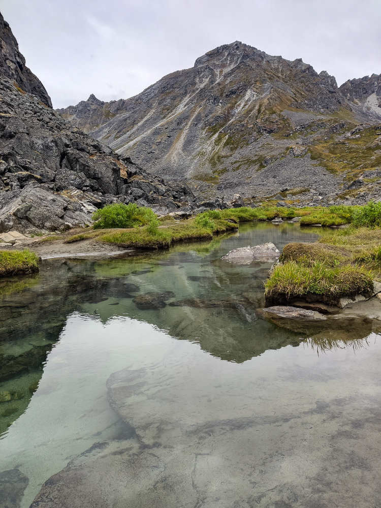
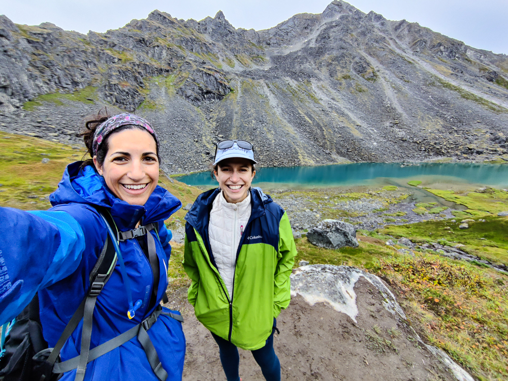
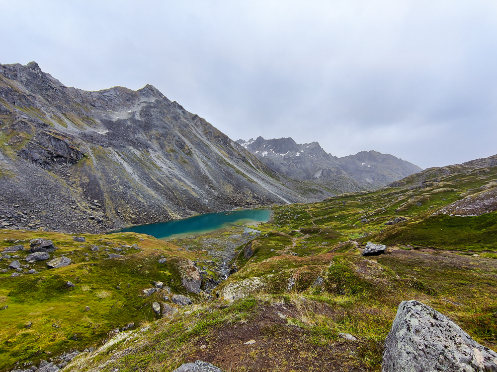
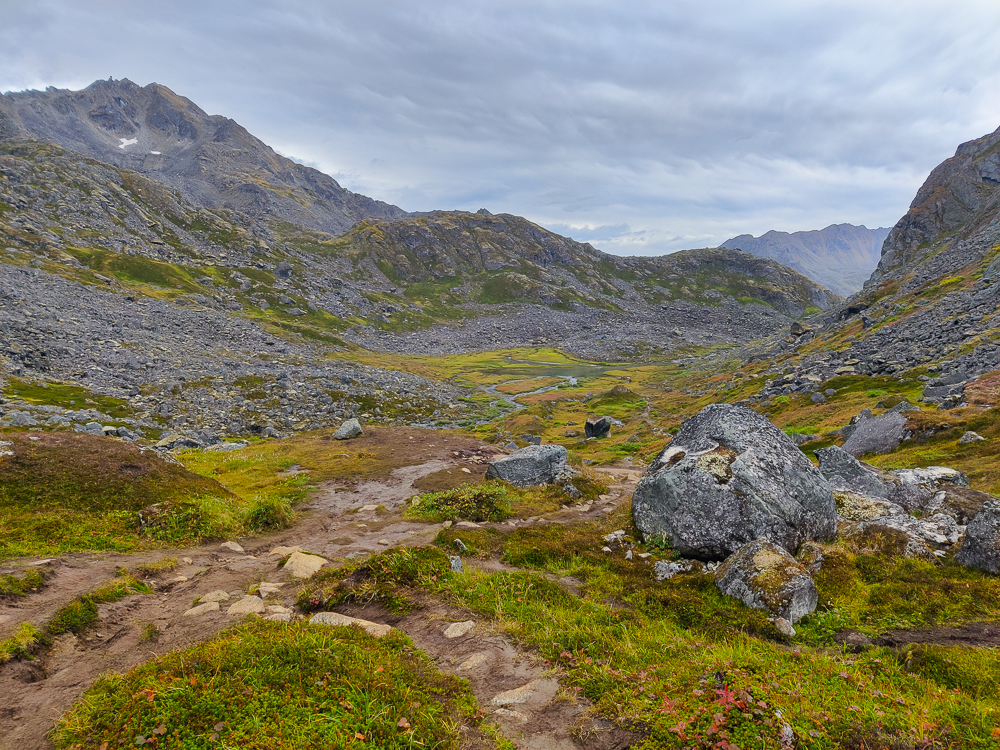
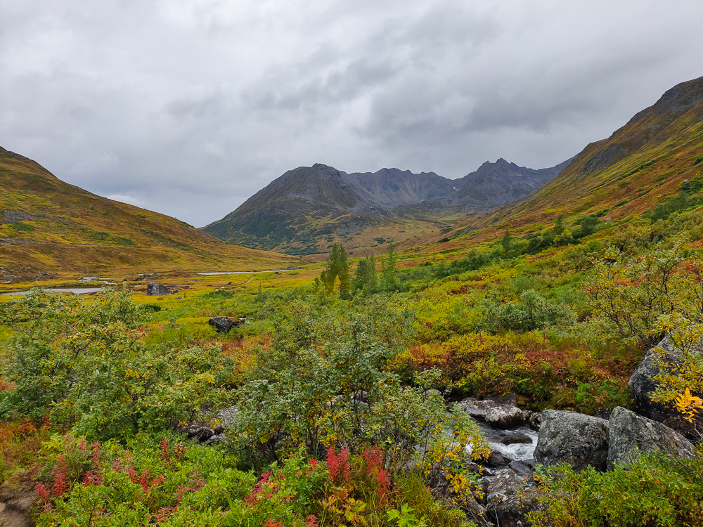
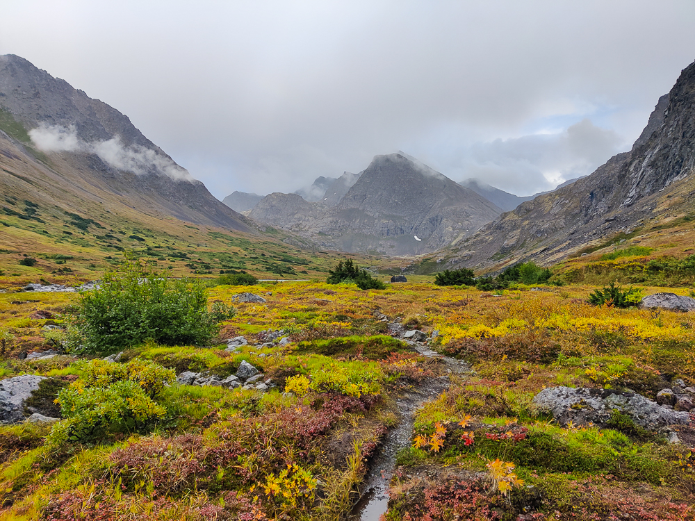
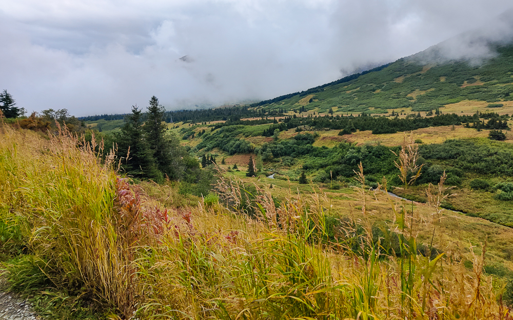
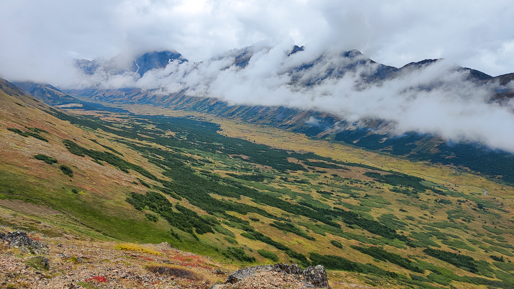
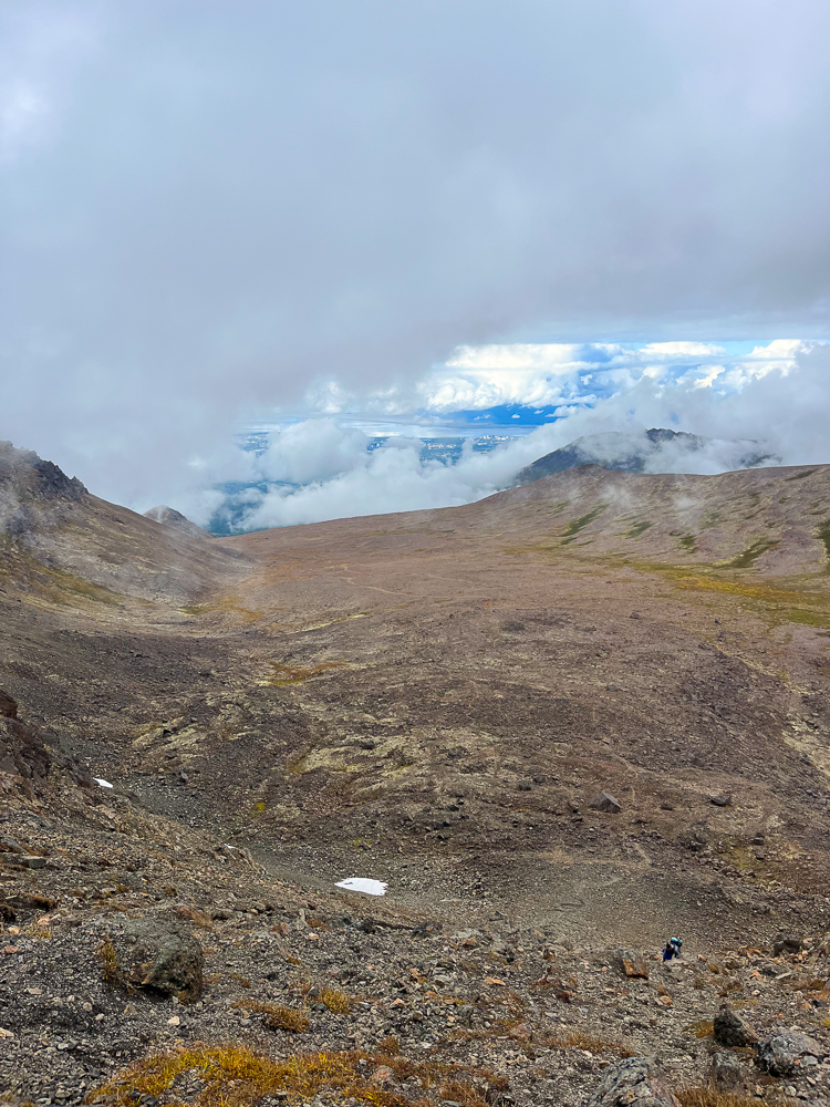
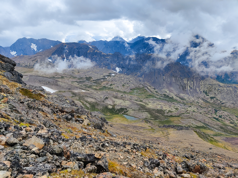
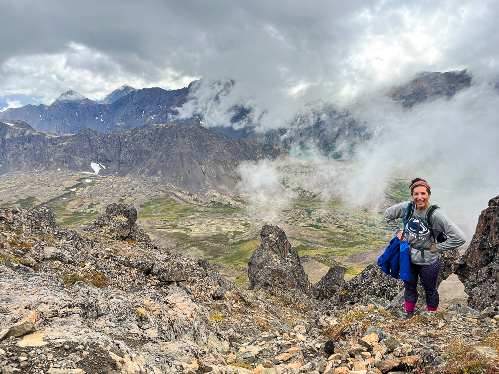
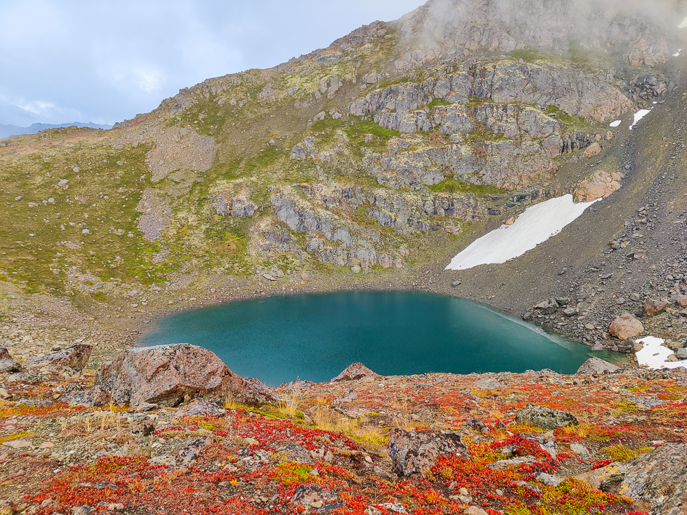
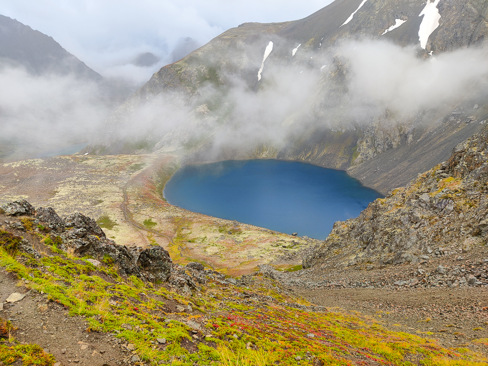
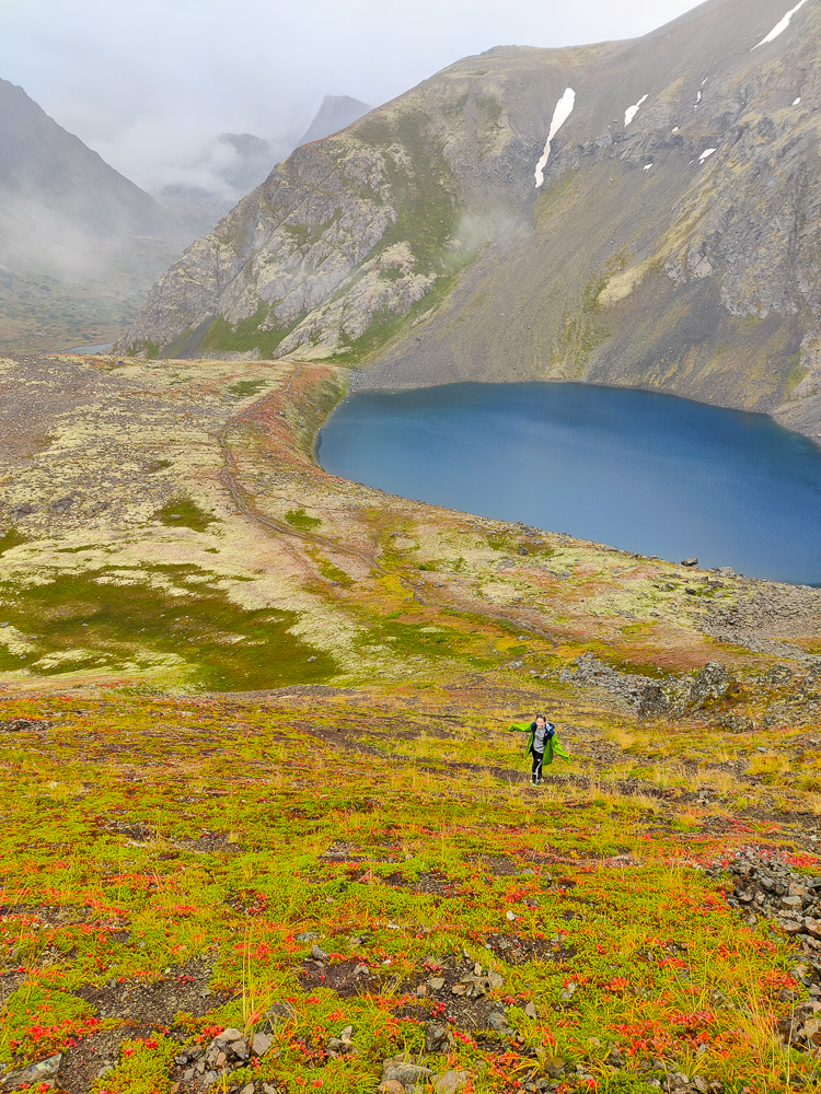
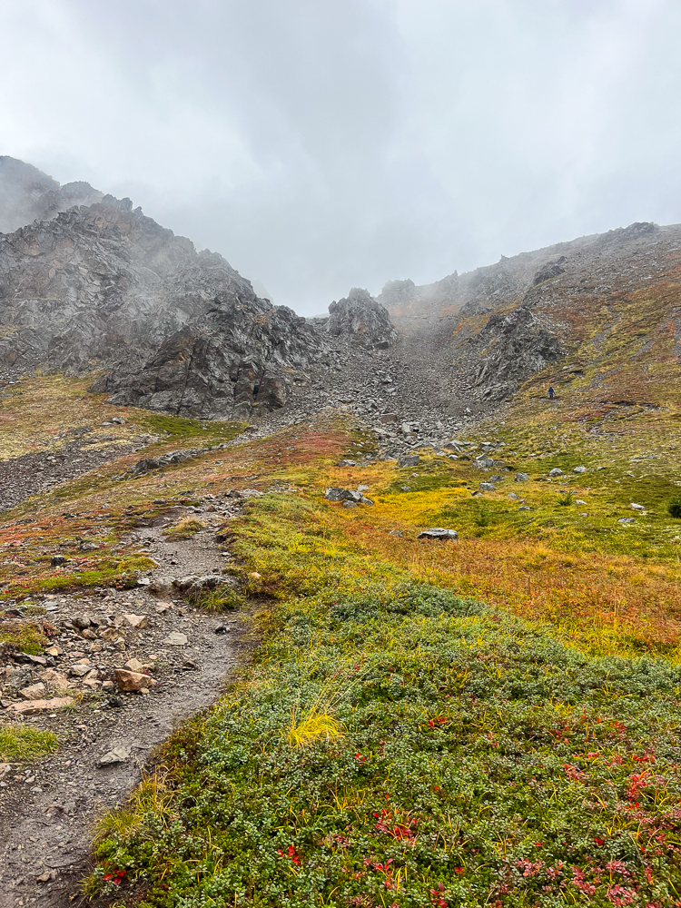
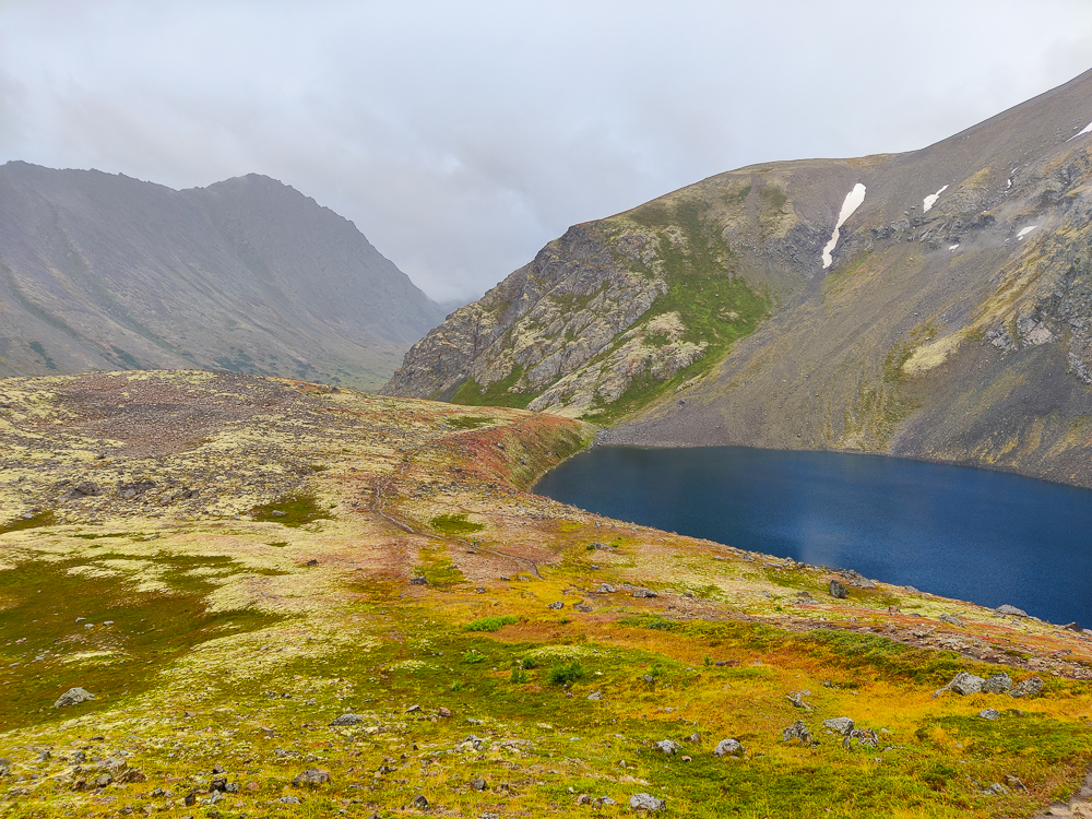
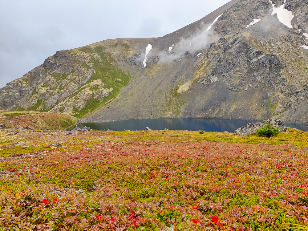
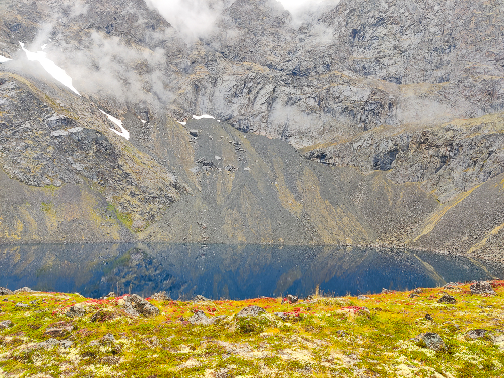
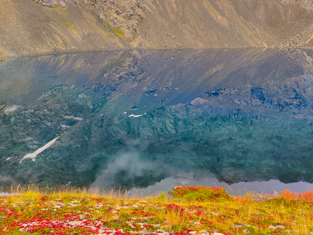
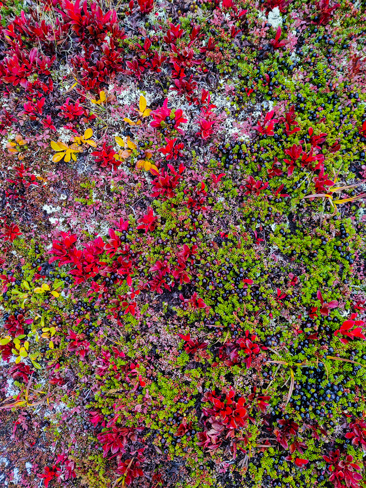
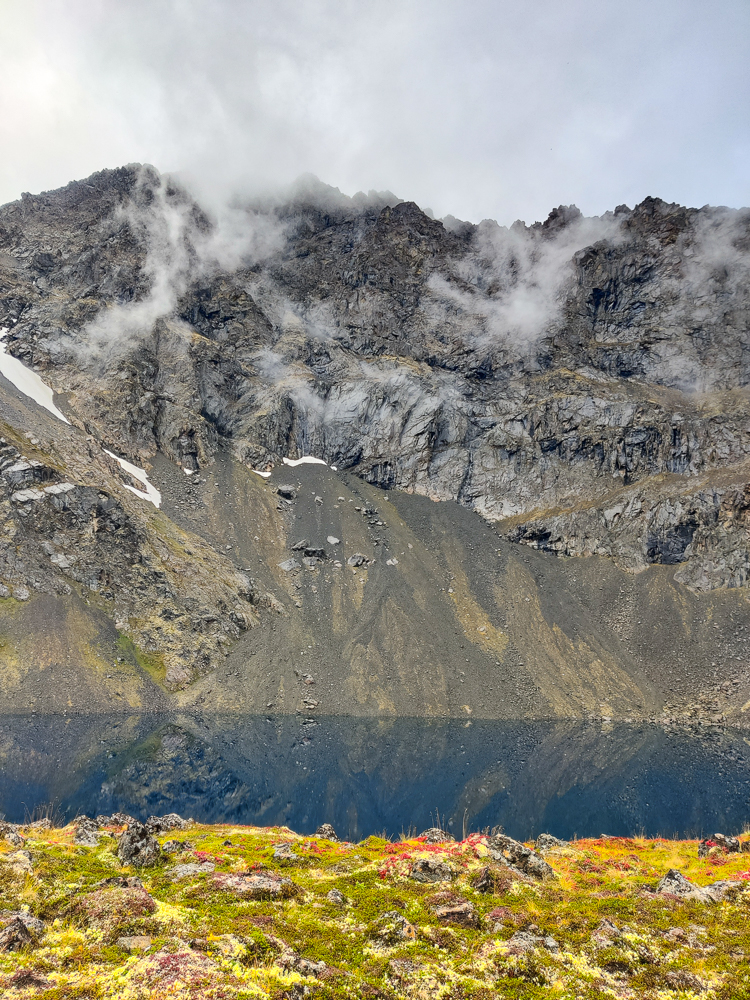
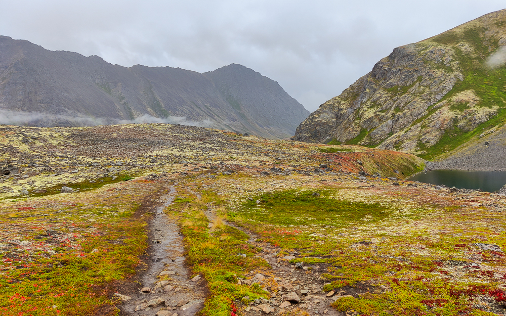
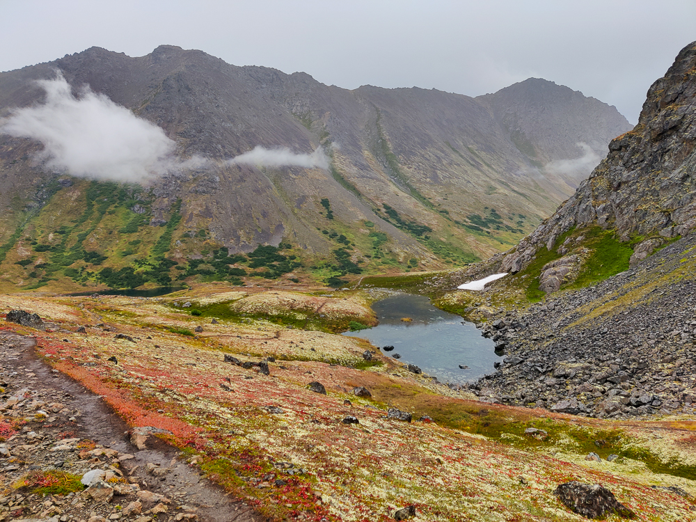
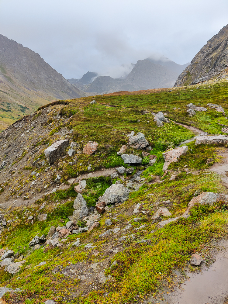
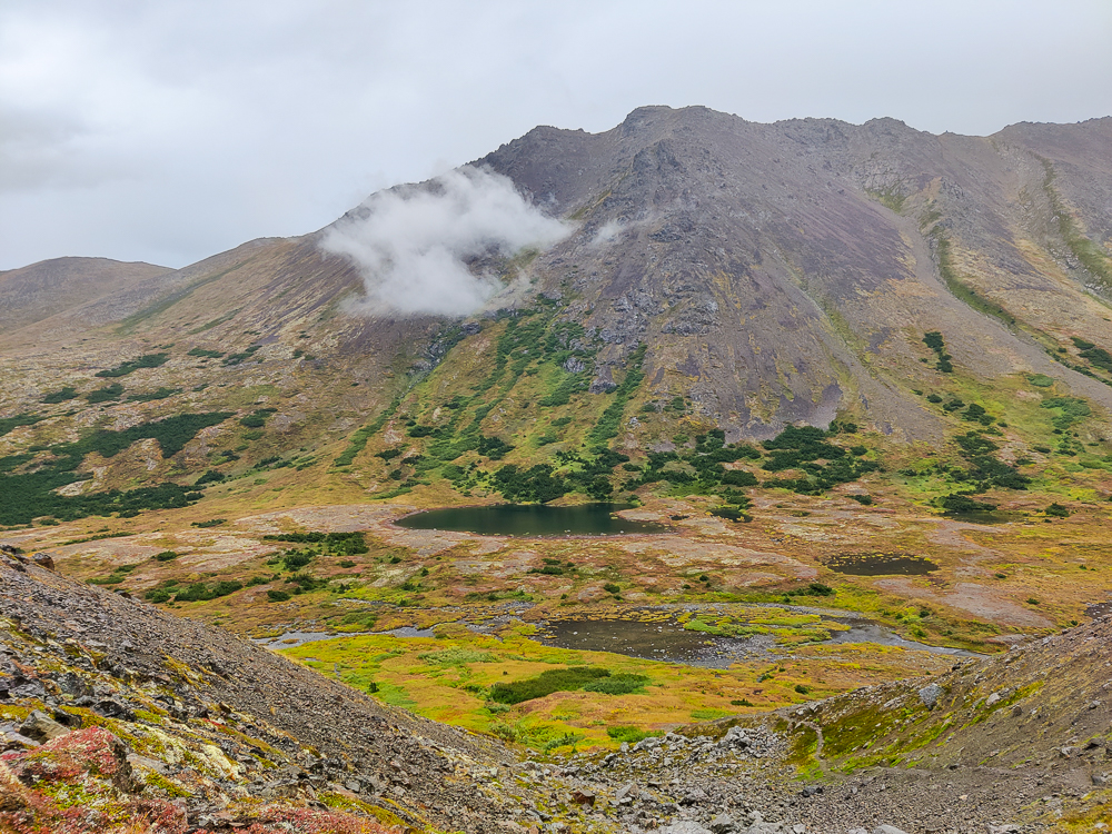
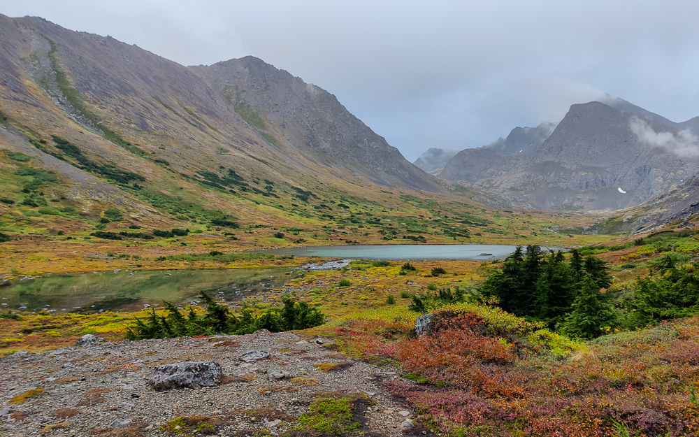
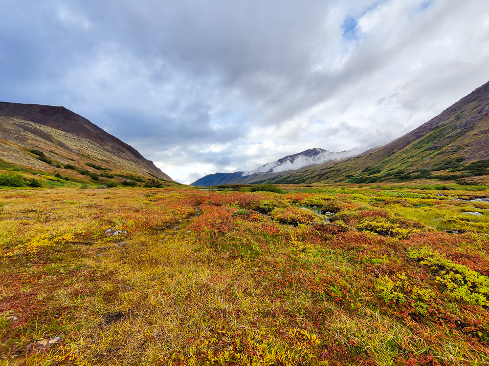
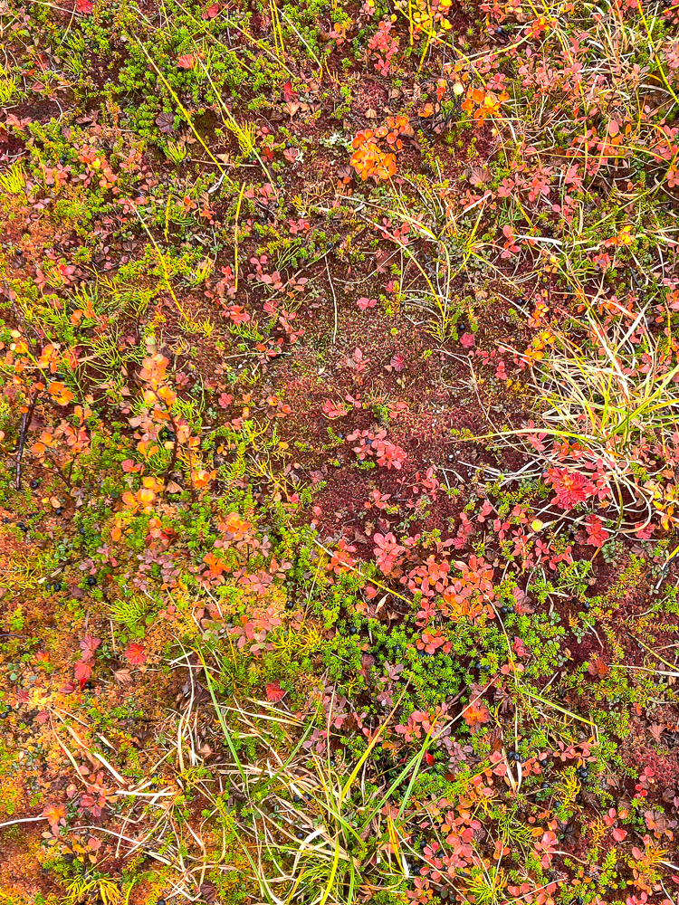
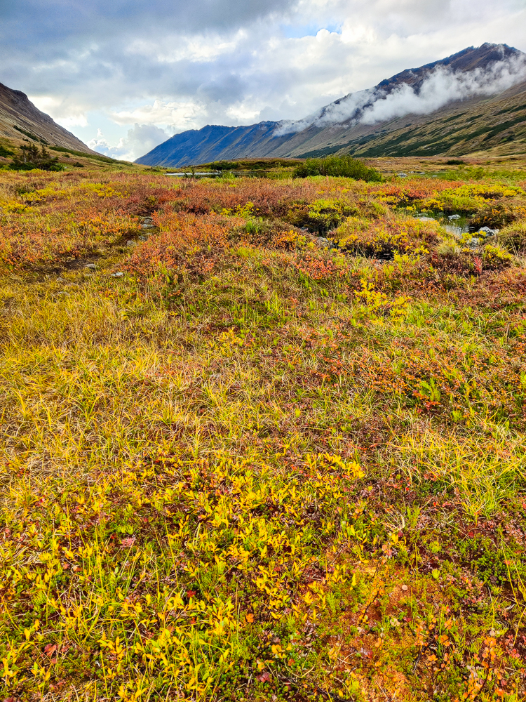
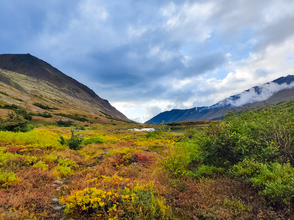
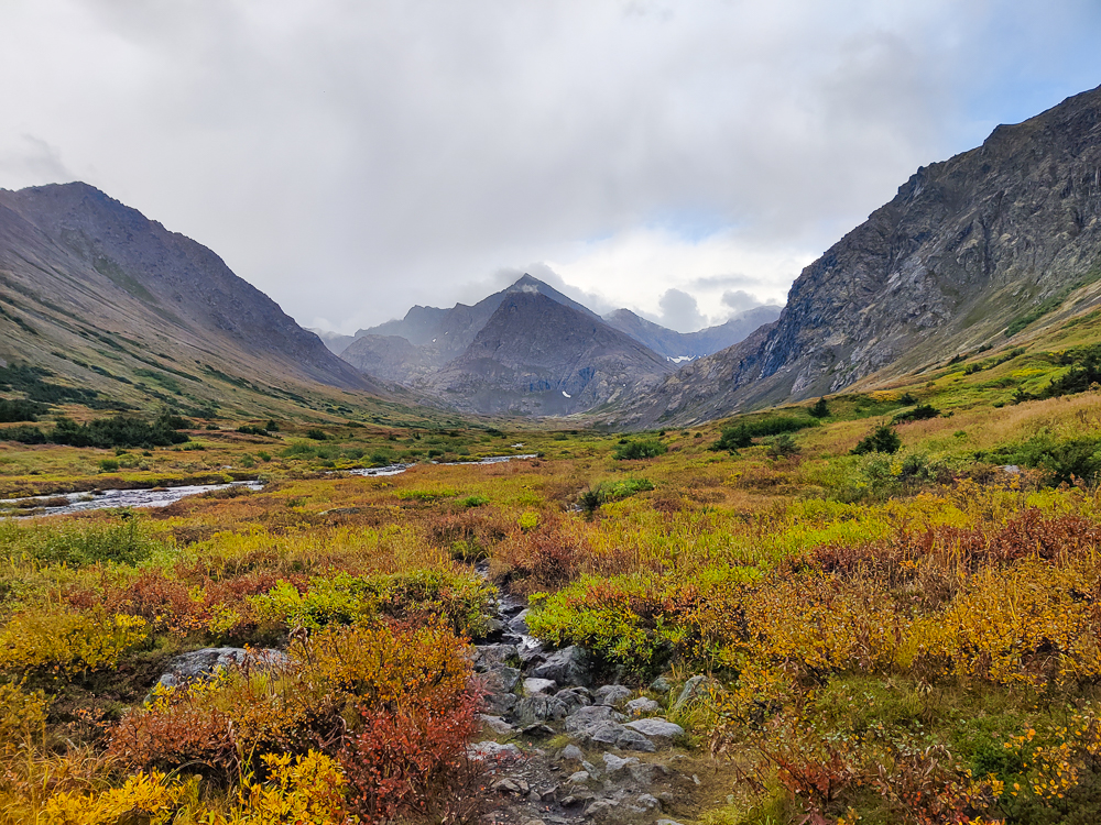
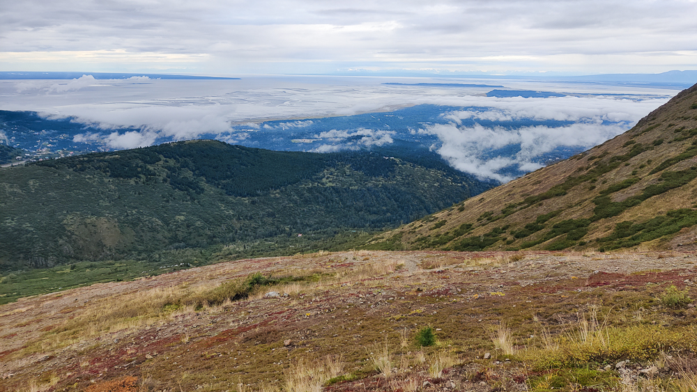
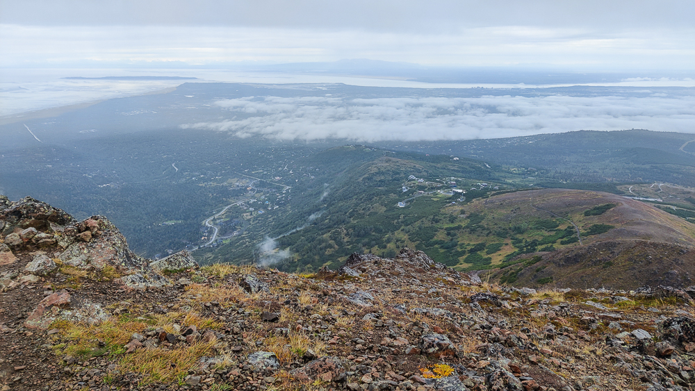
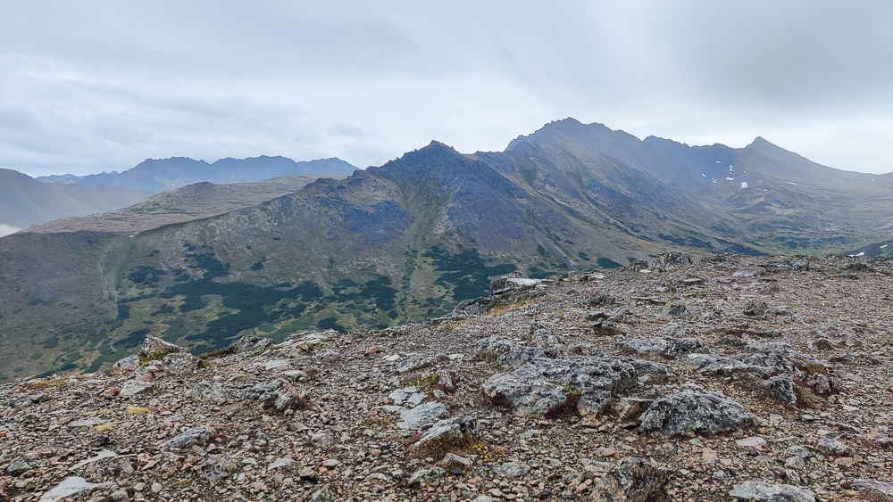
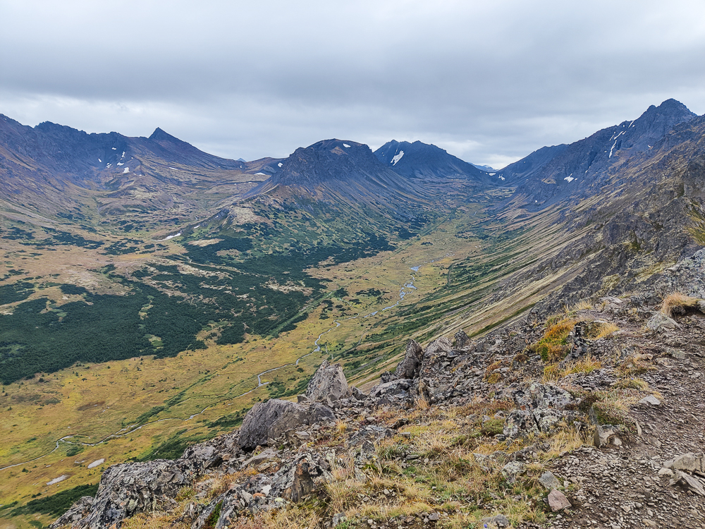
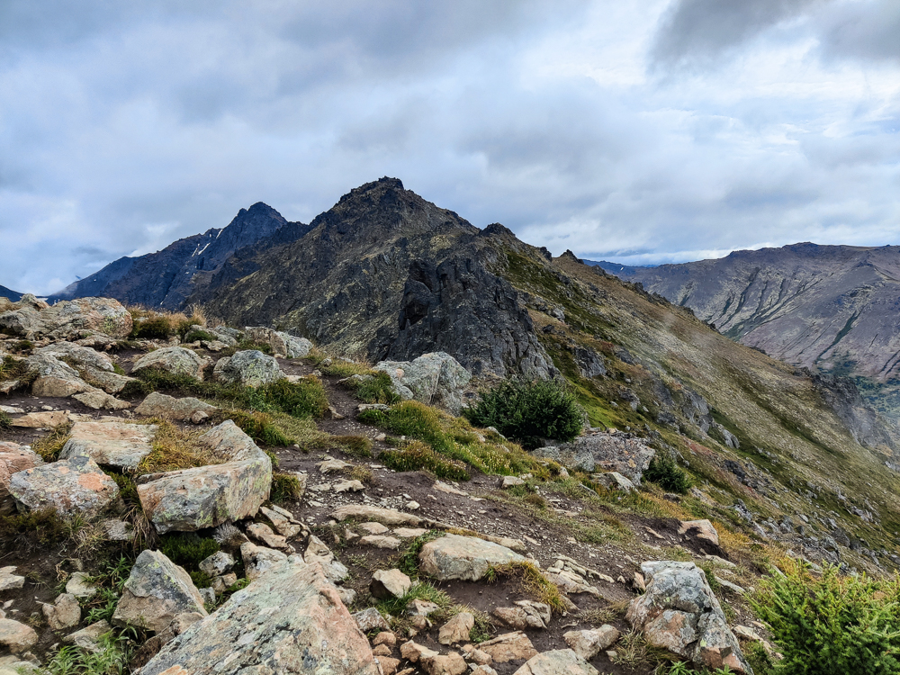
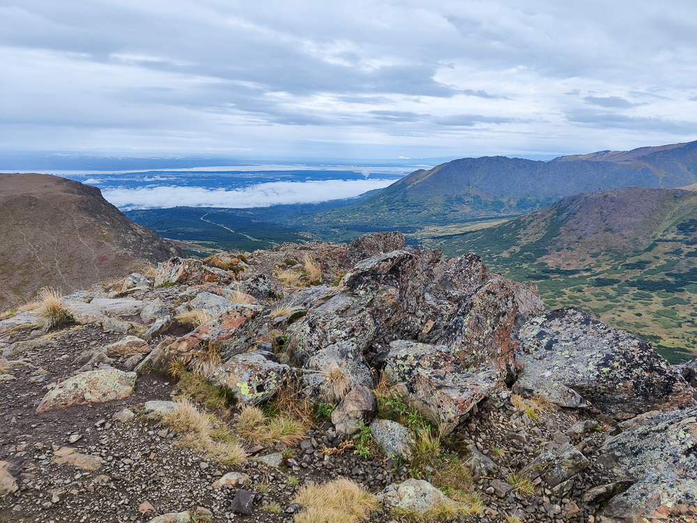
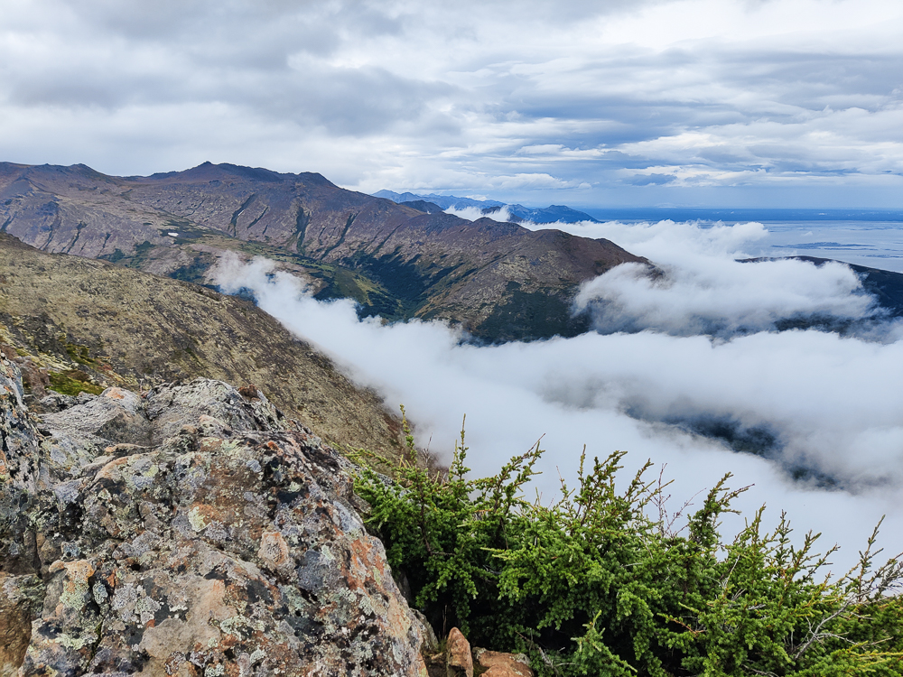
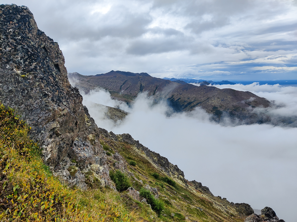
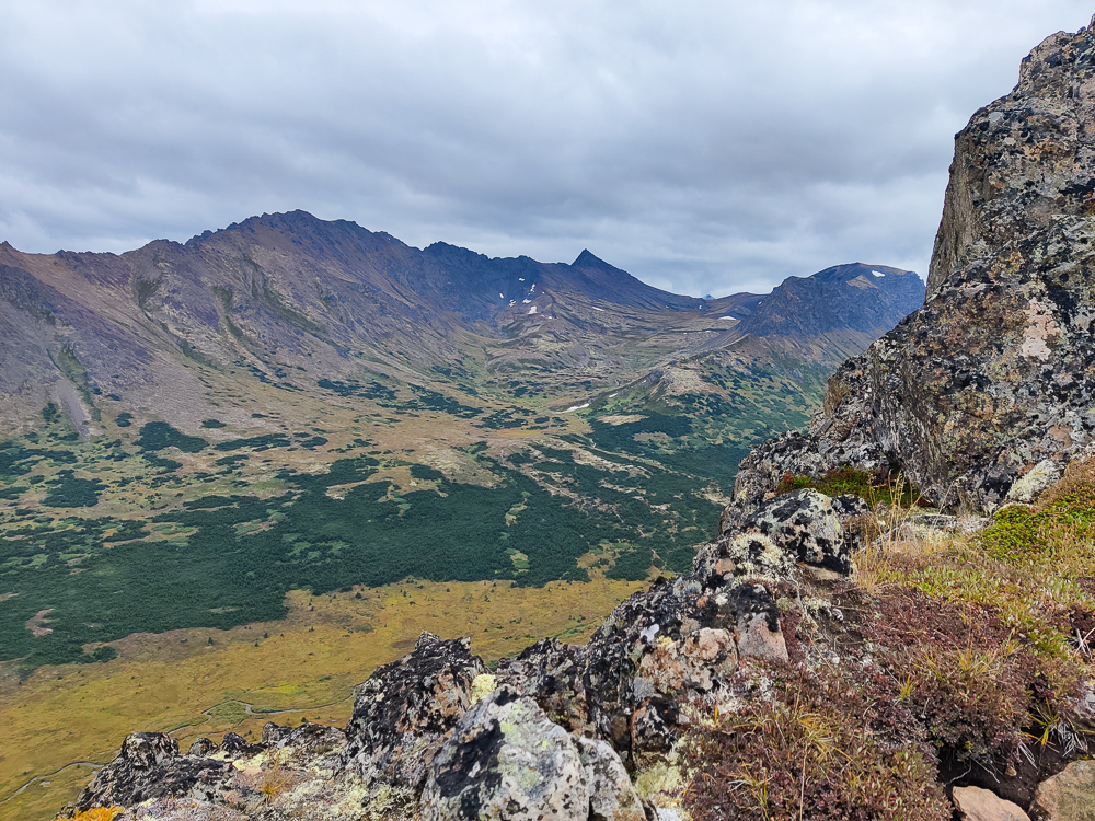
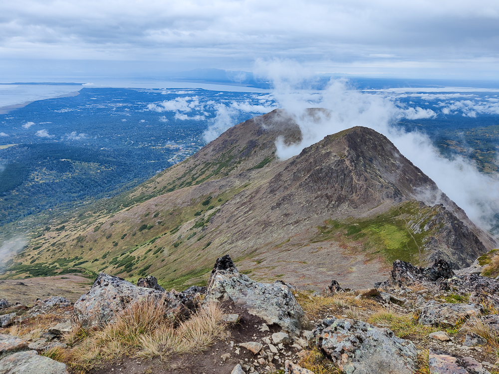
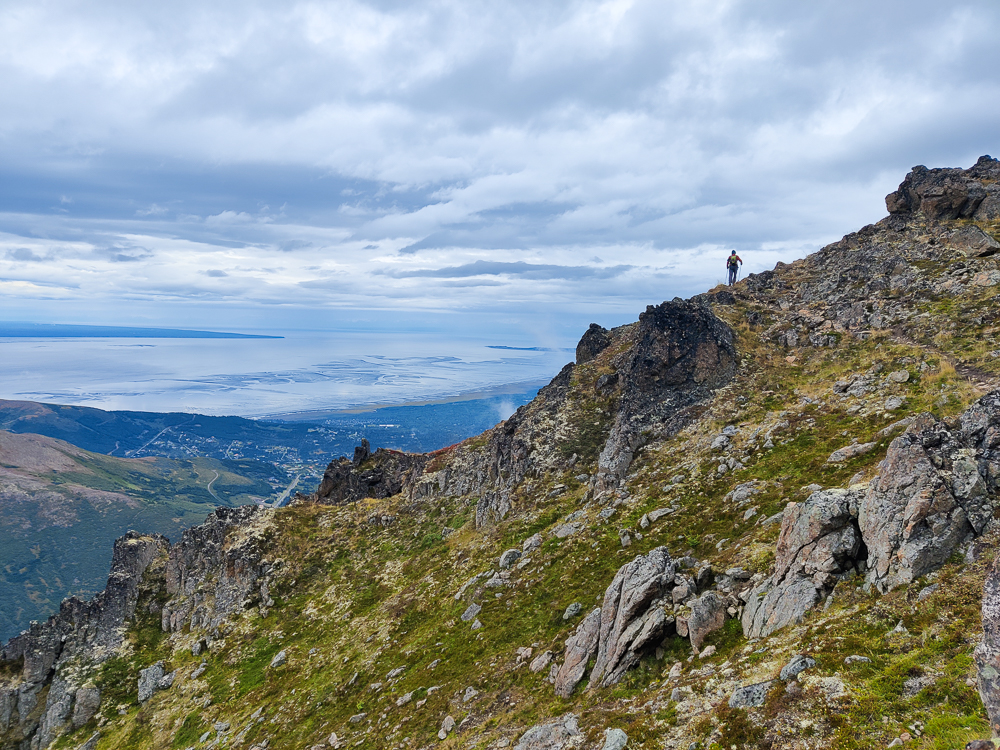
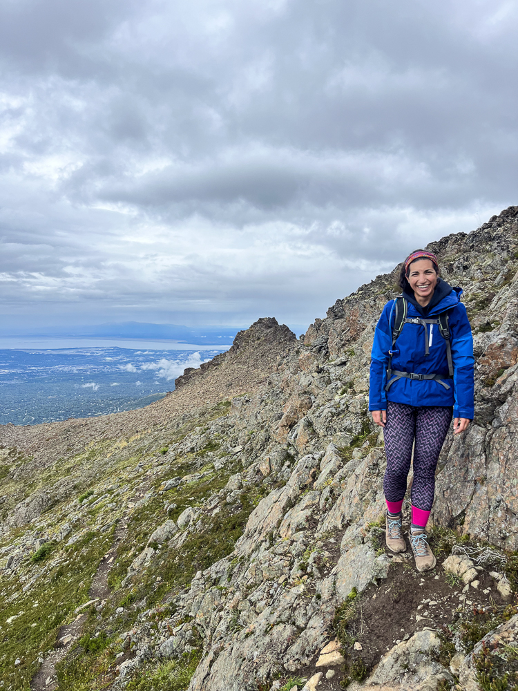
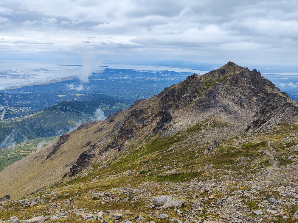
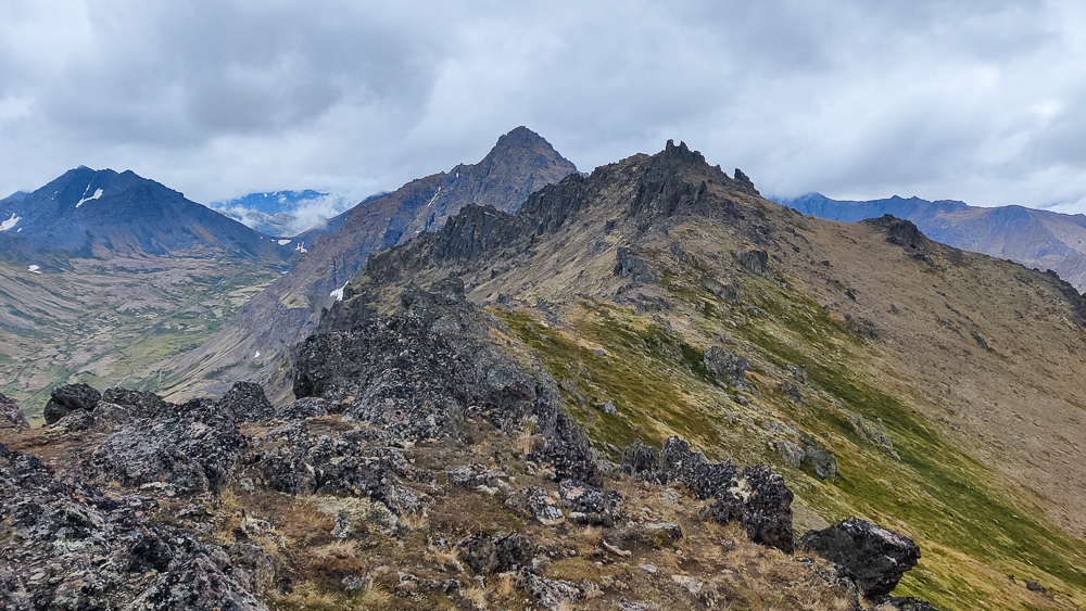
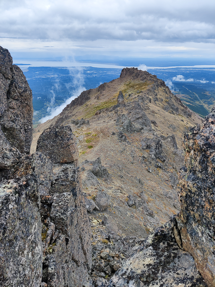
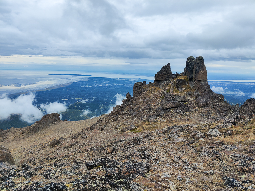
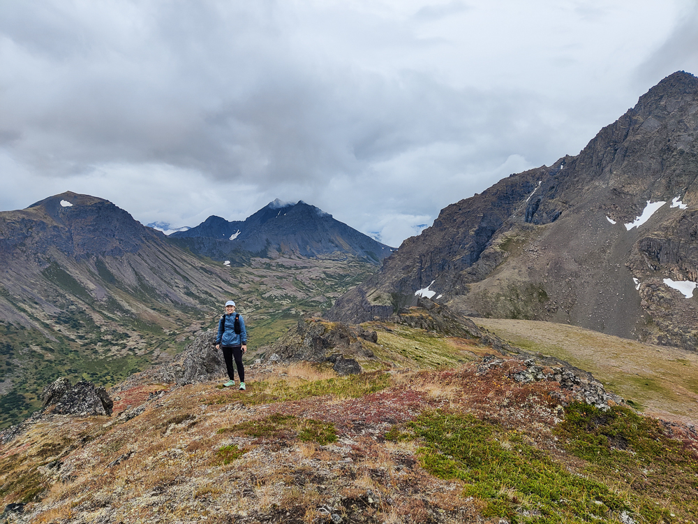
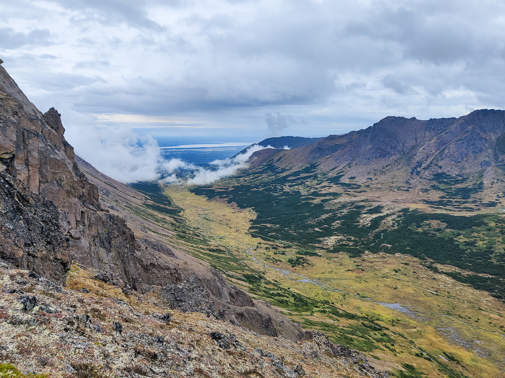
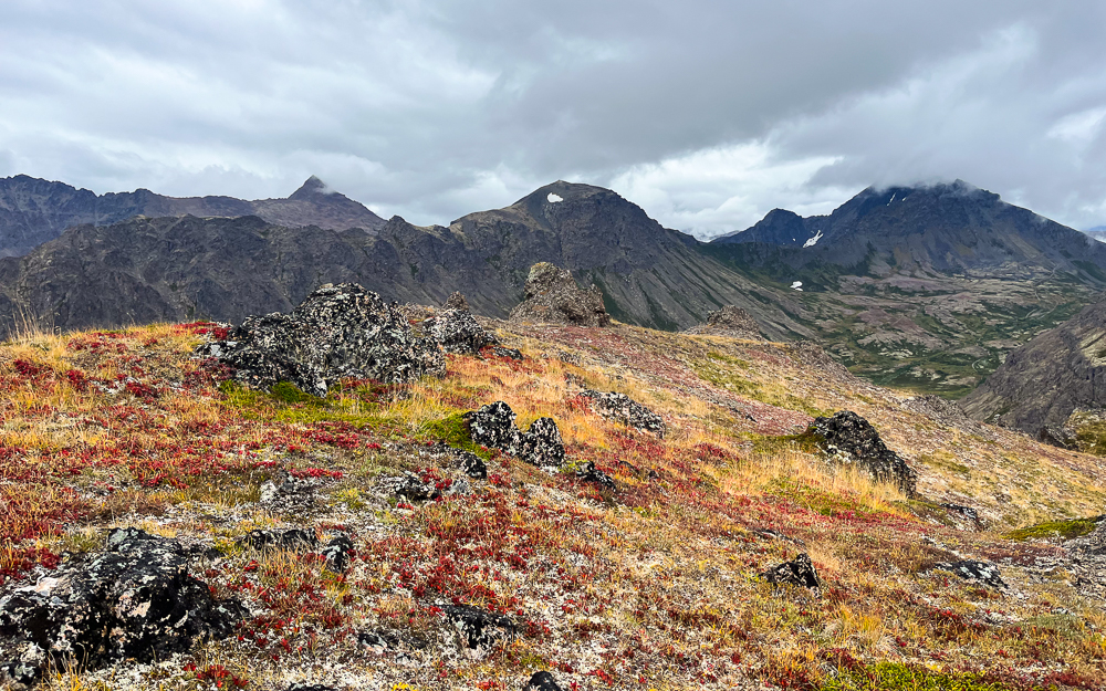
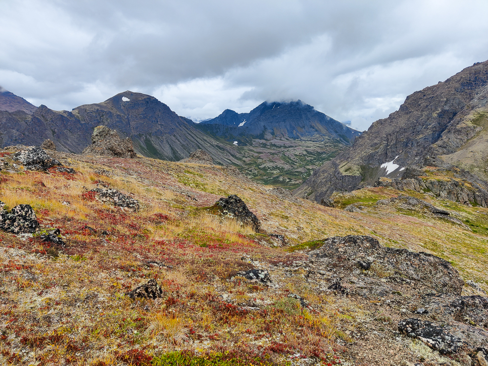
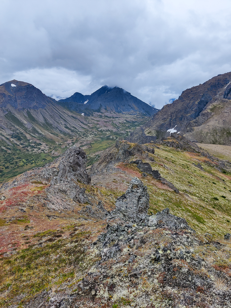
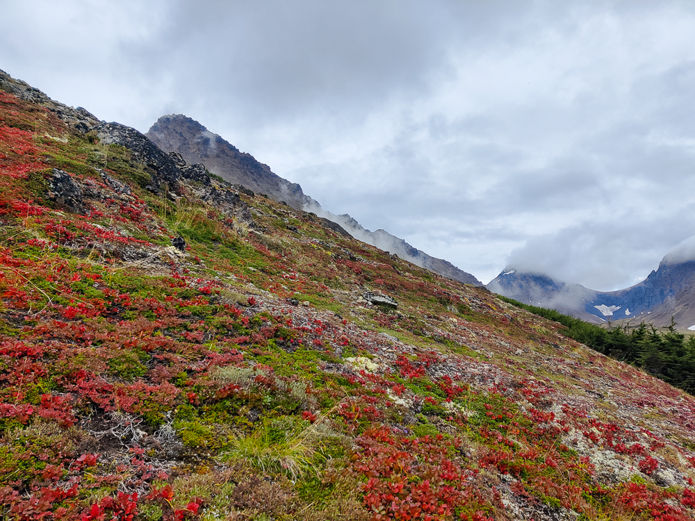
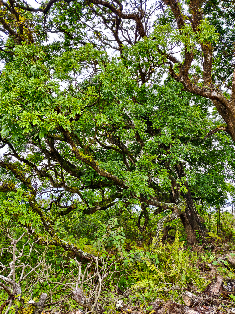
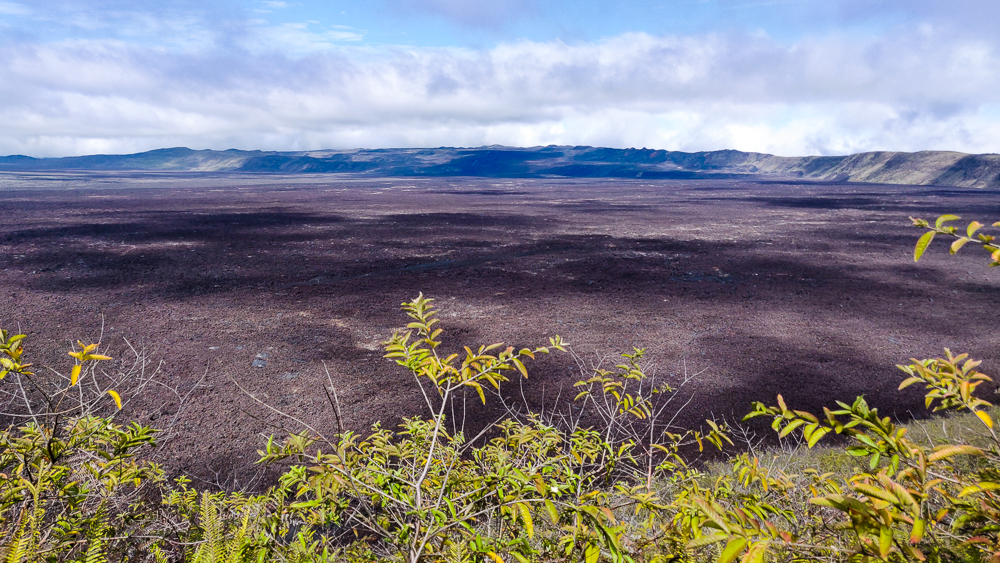
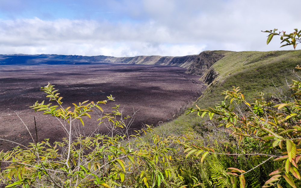
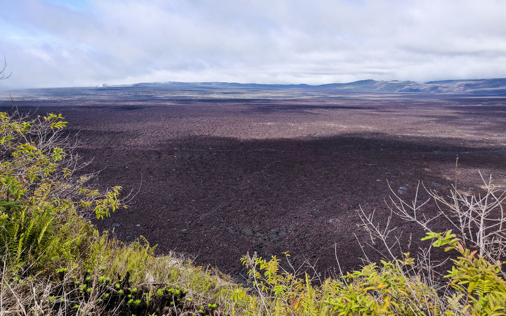
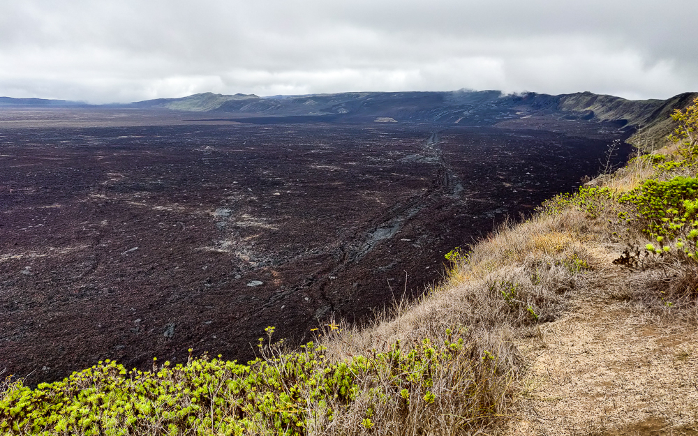
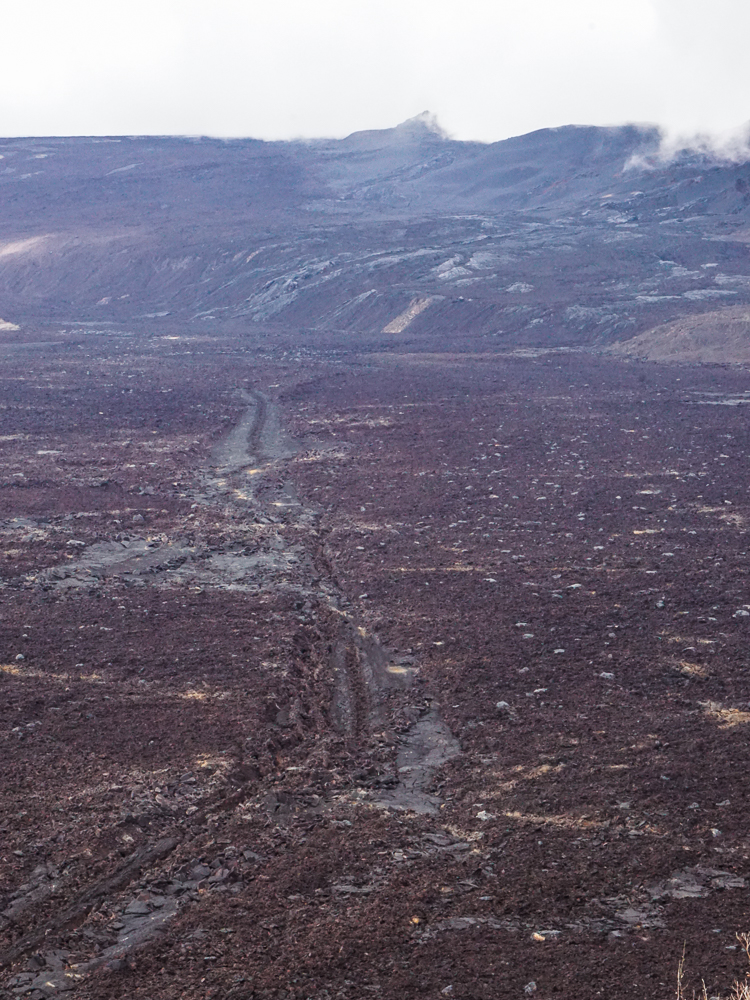
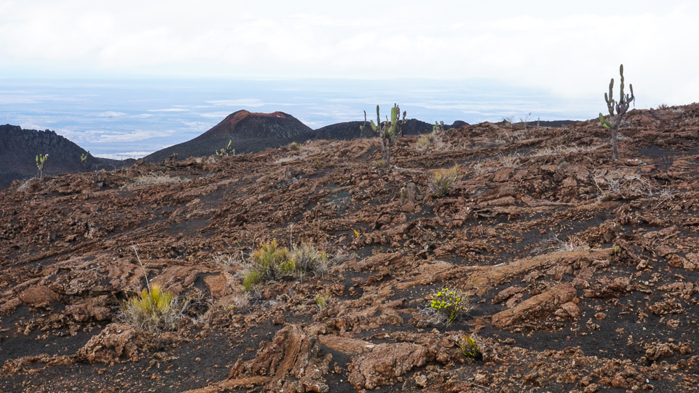
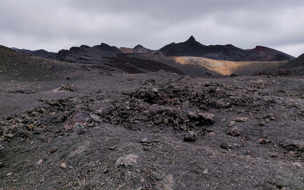
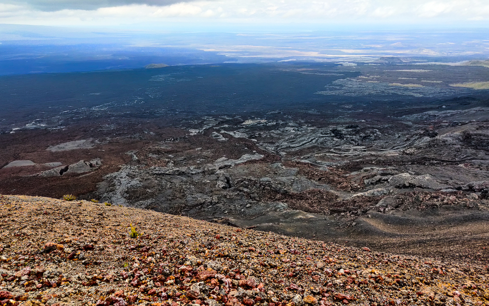
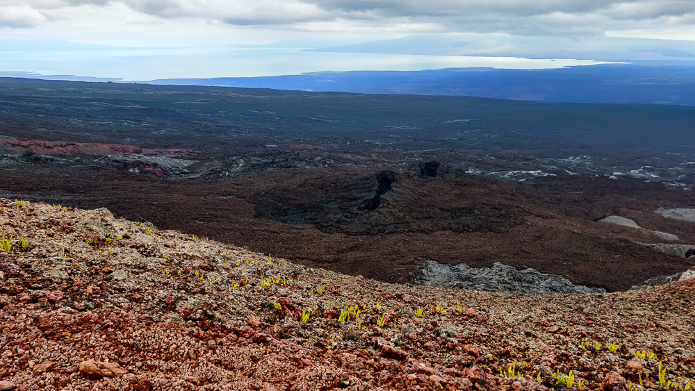
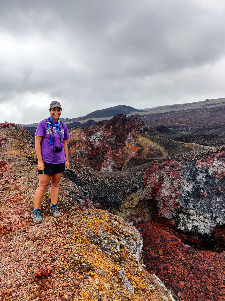
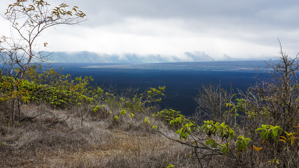
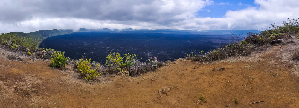
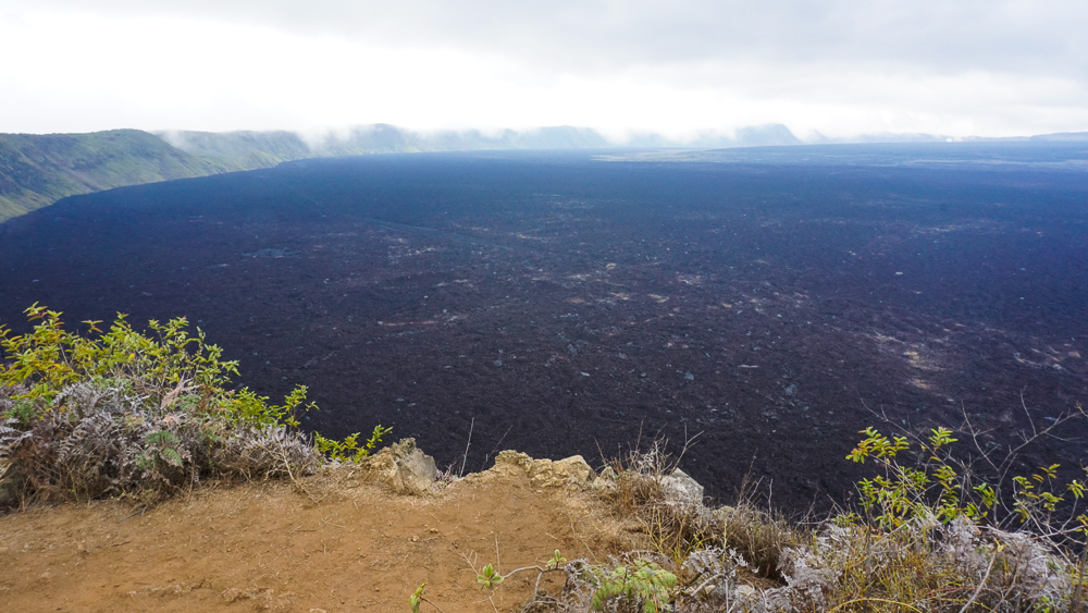
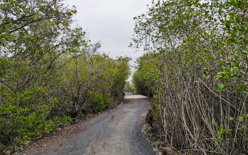
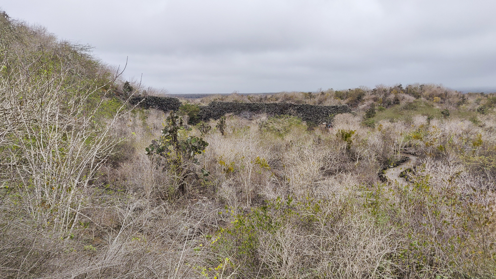
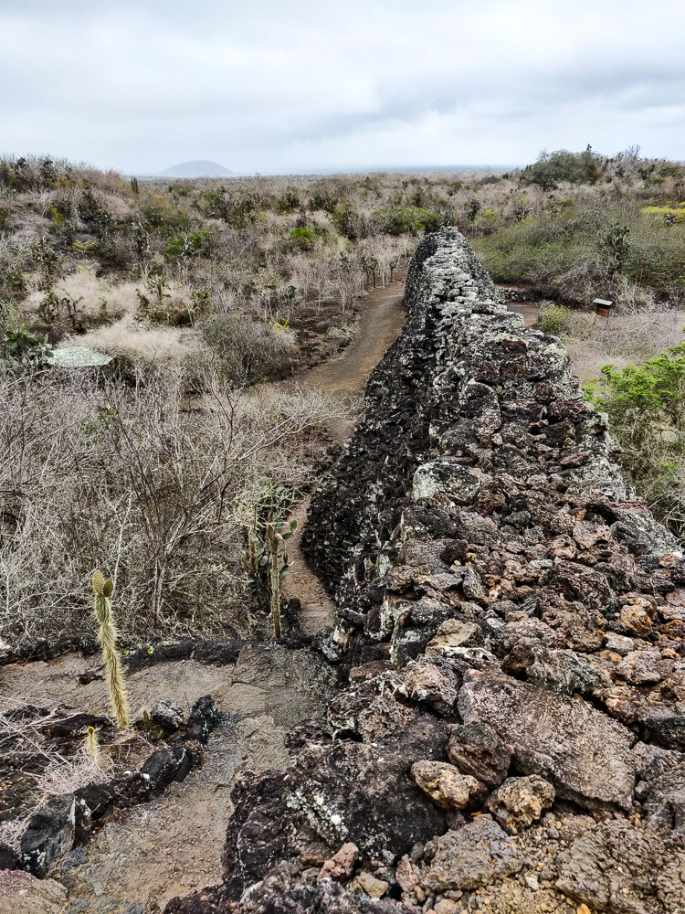
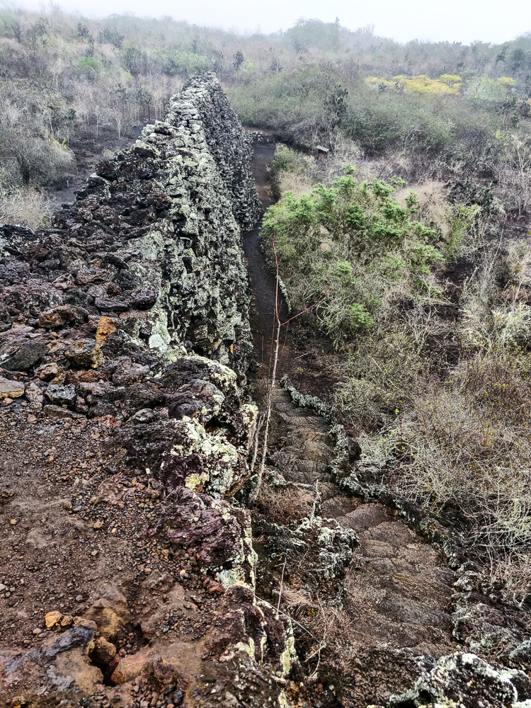
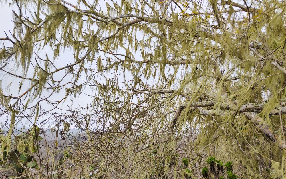
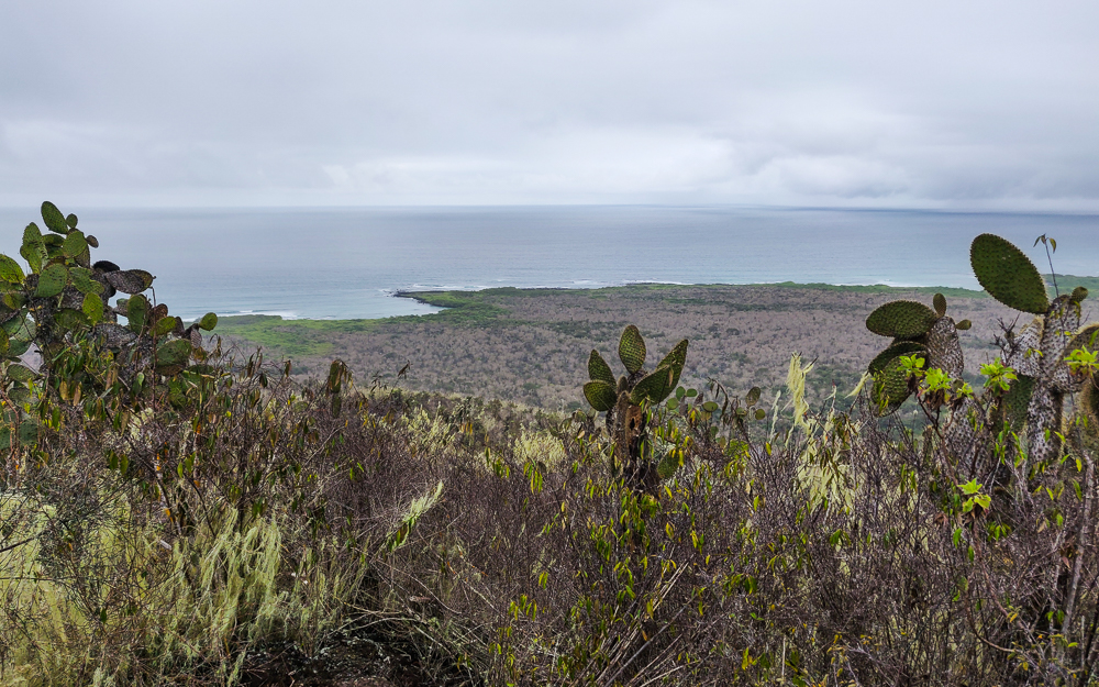
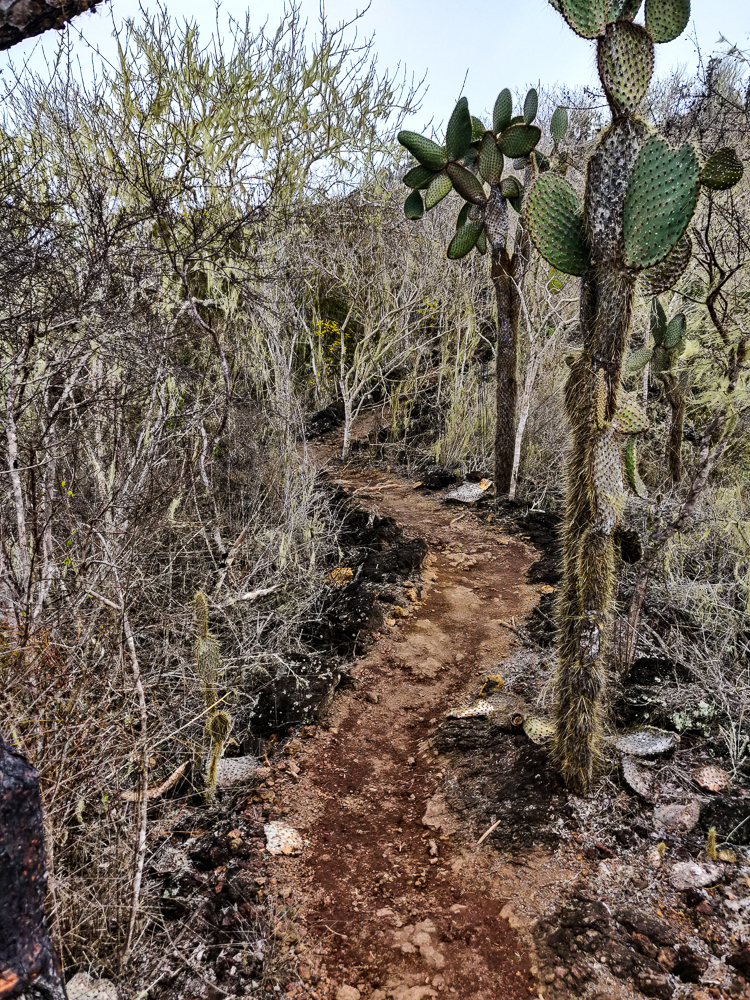
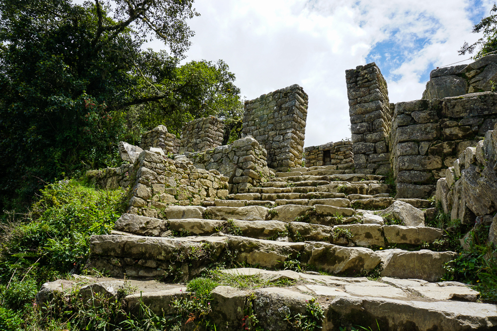
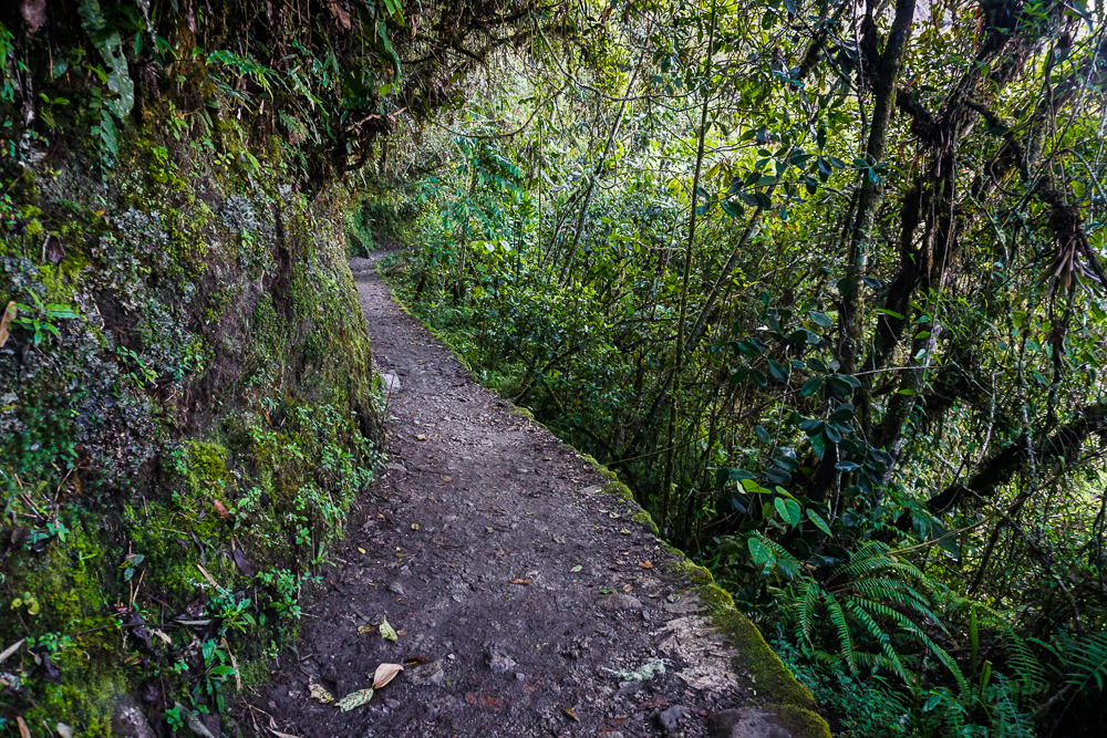
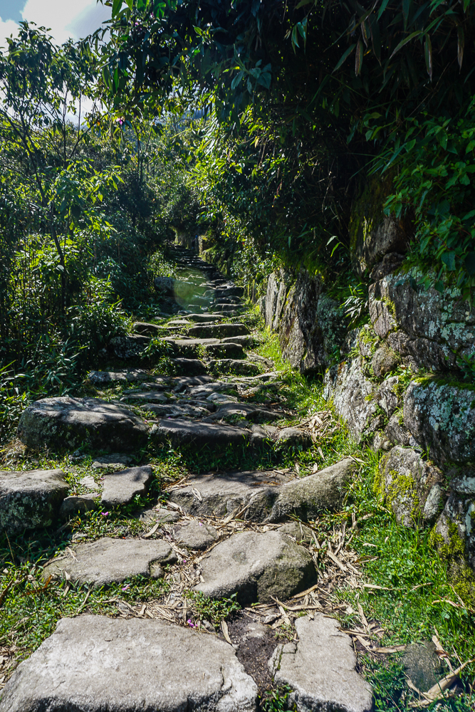
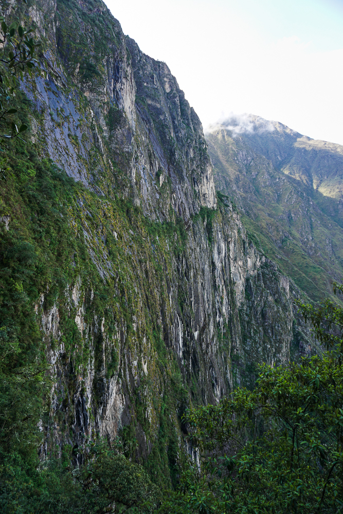
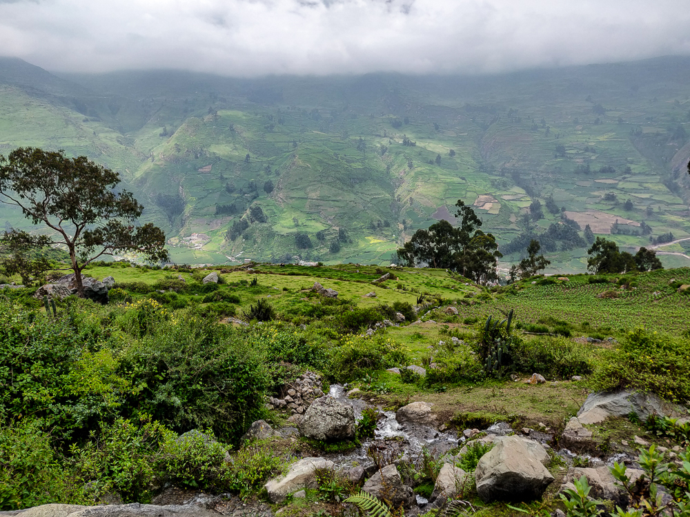
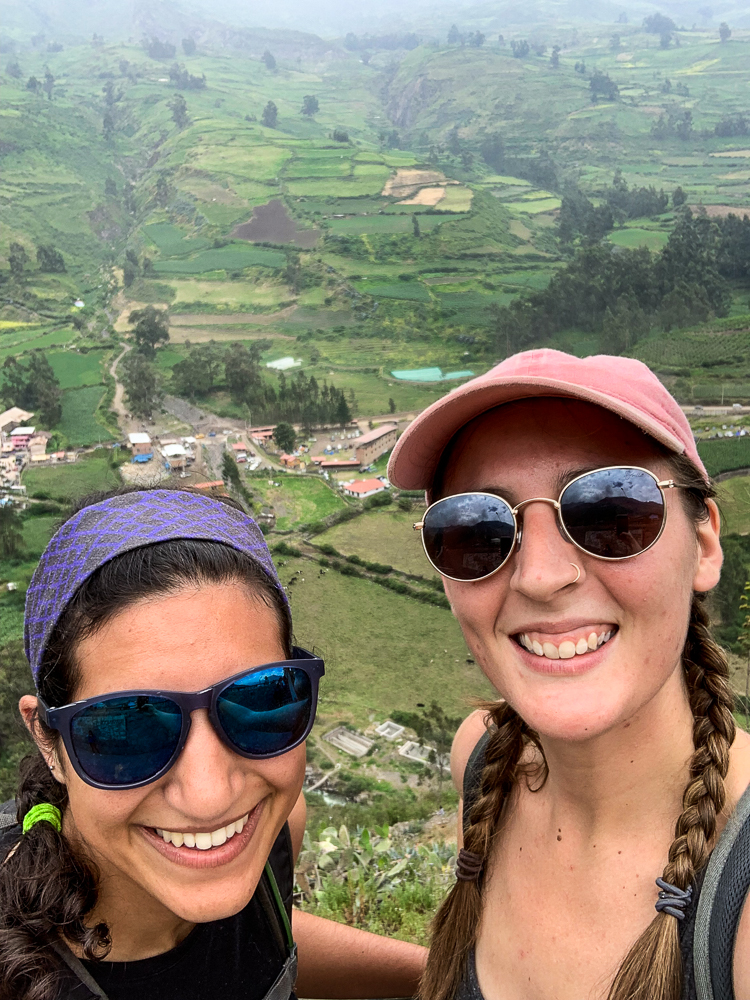
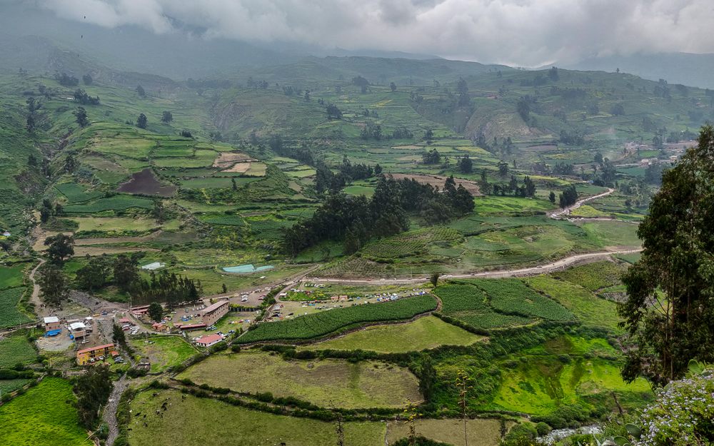
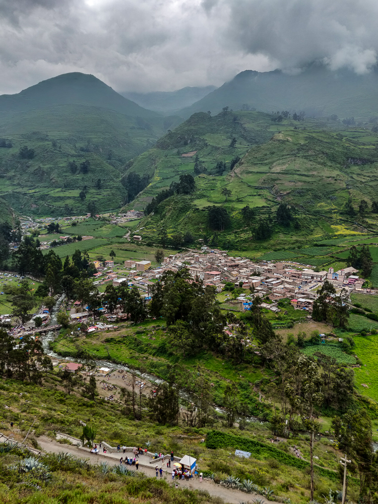
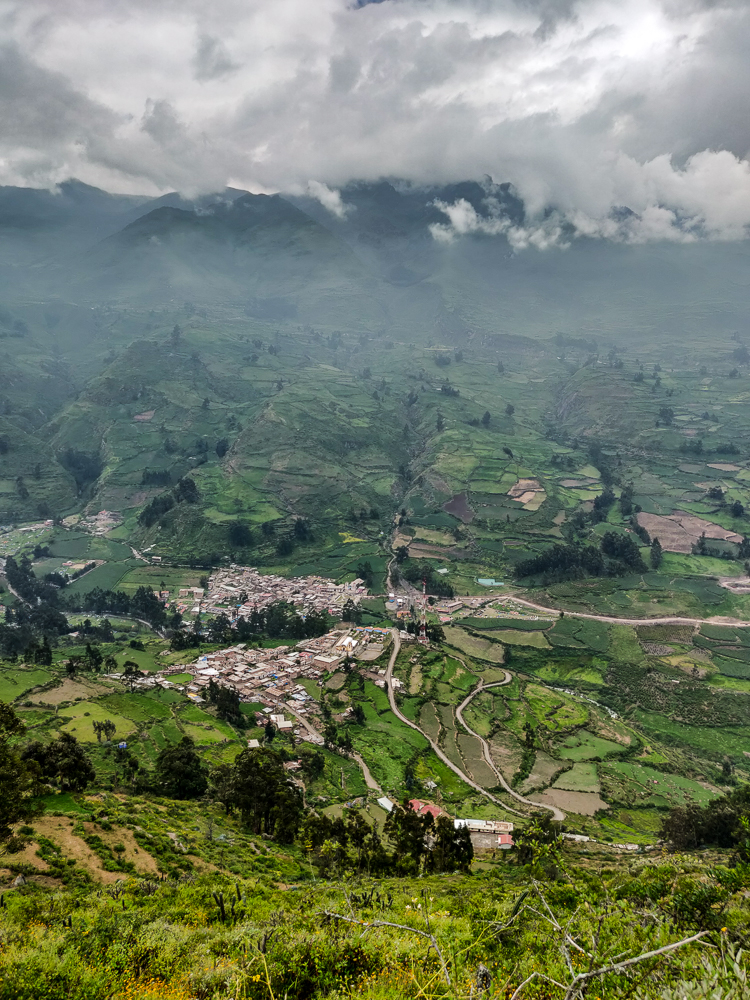
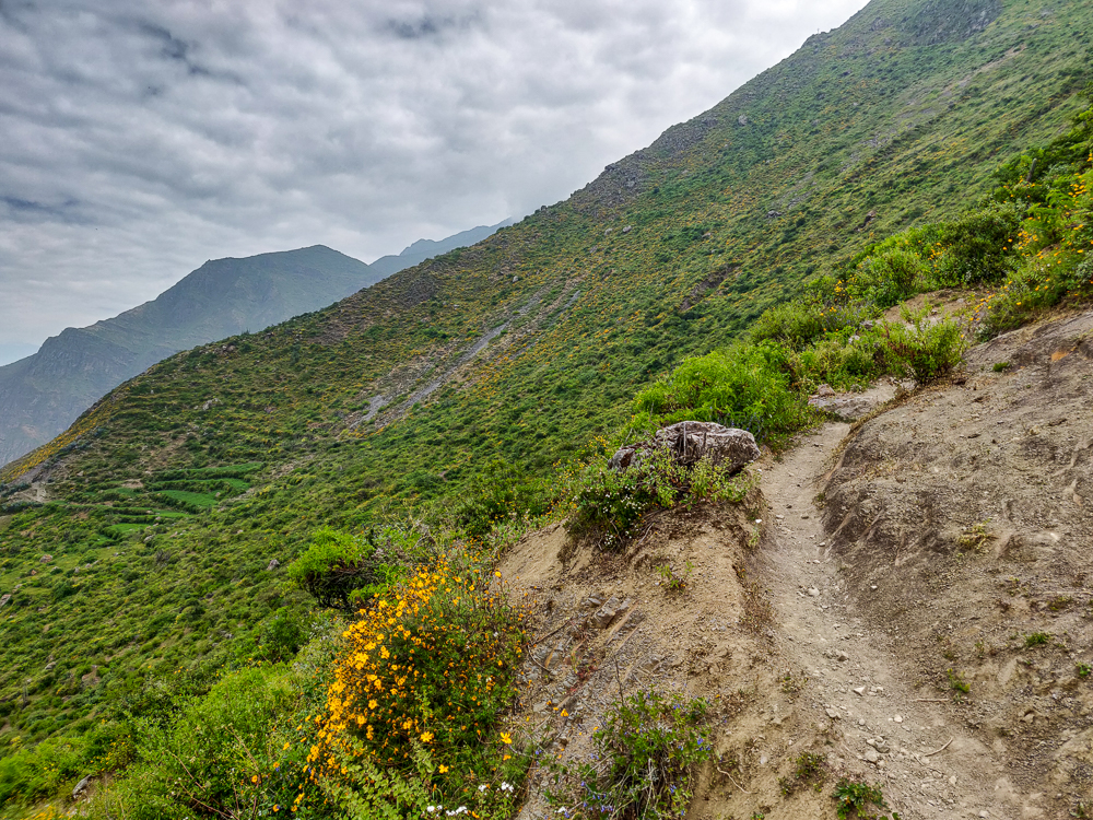
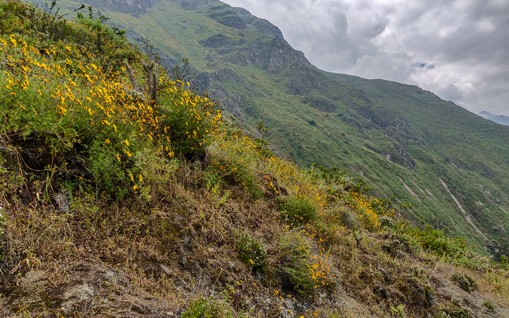
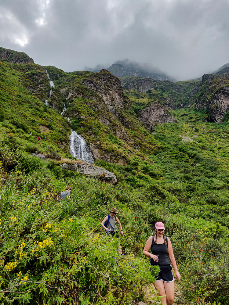
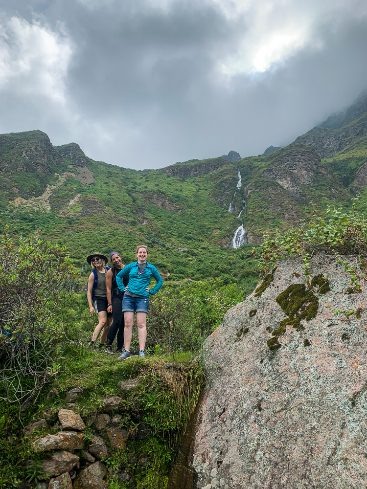
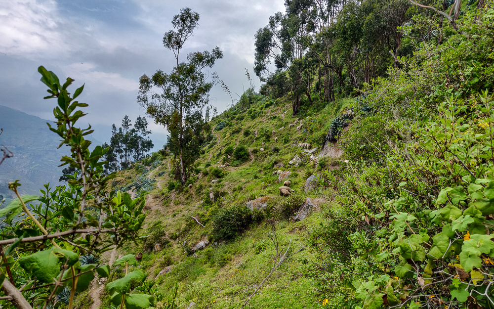
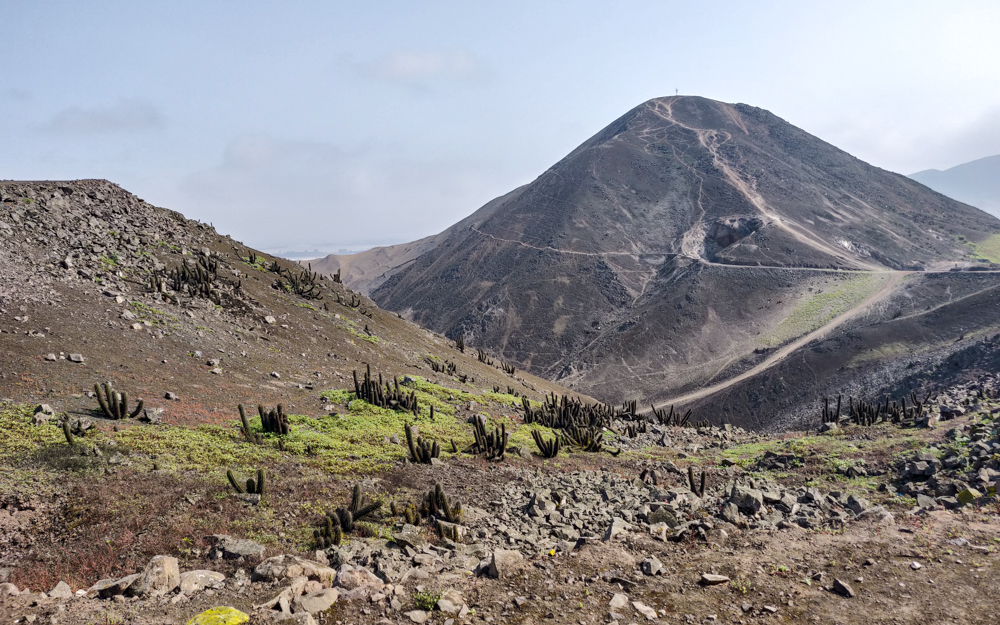
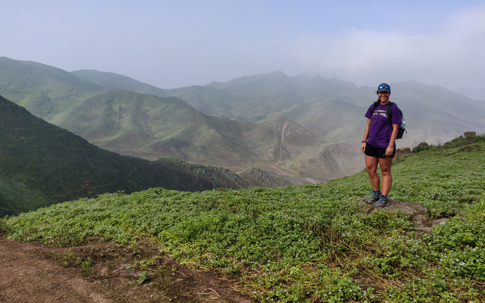
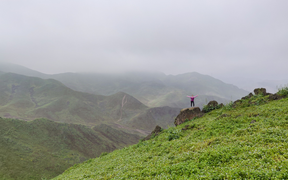
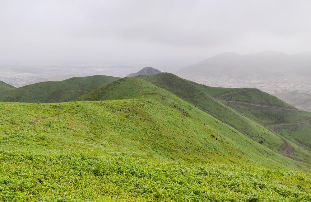
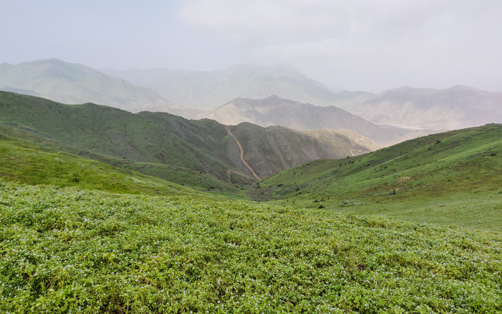
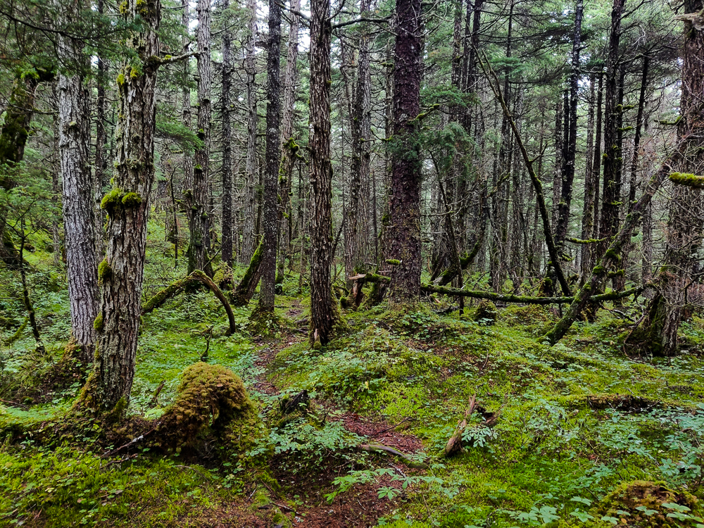
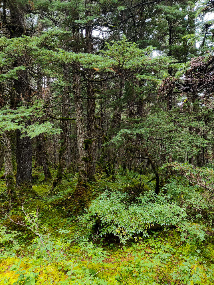
Winner Creek is very different from the other hikes we did. It doesn’t have the same breathtaking vistas, those sweeping views of colorful valleys framed by jagged mountains. There’s not even really a big destination. Mostly, it’s just a walk through some very pretty woods. The good news is that I love to walk in the woods. I also love those heart-stopping, mind-blowing hikes that make me feel like I’ve left the planet, but I don’t need that. I’m plenty happy to be walking through a forest, marveling at the big ole trees. Now, something like a viewless hike through scrublands… that would not be my favorite. But I love me a good forest.
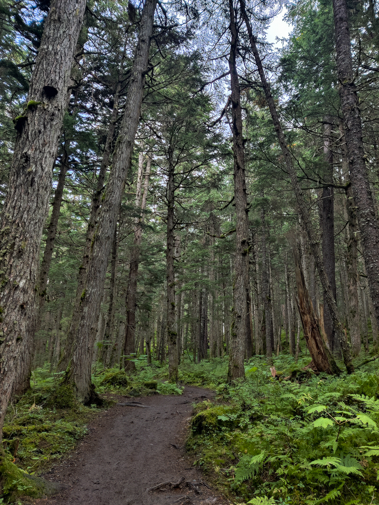
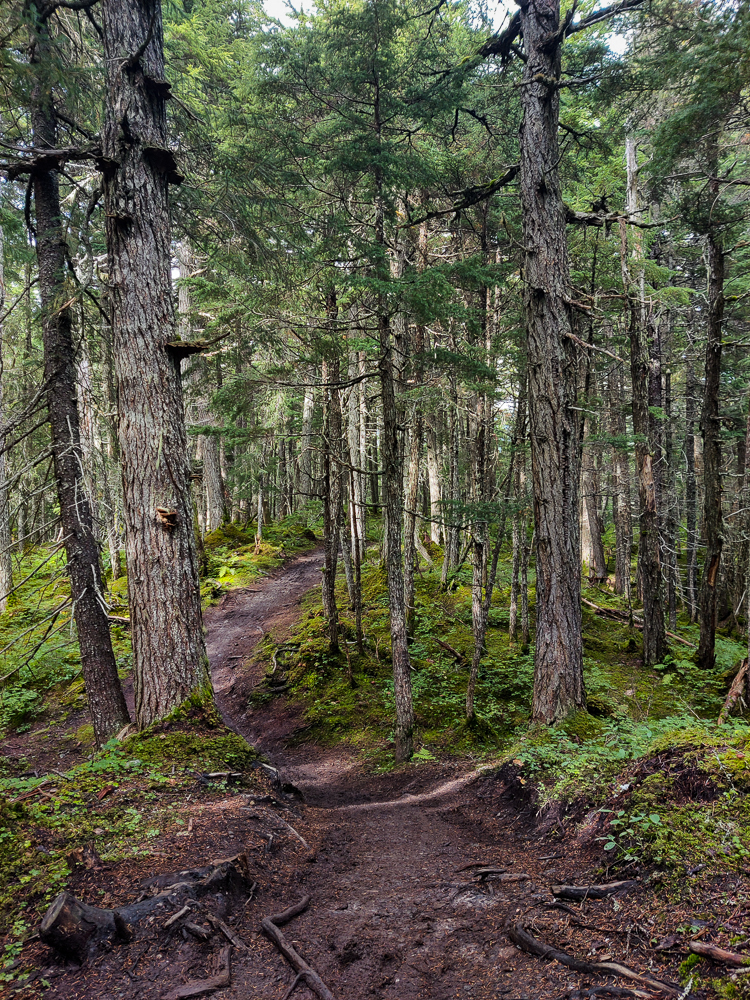
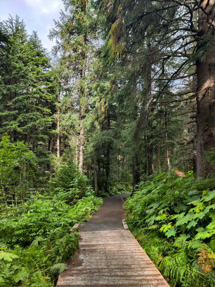
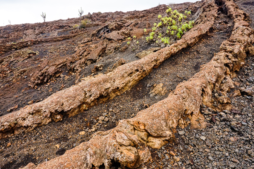
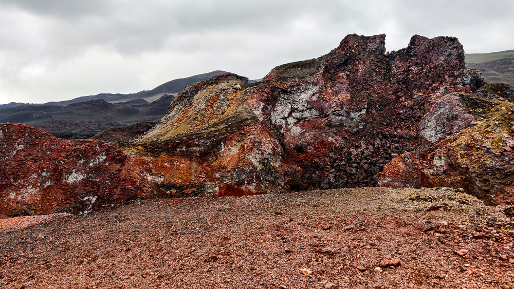
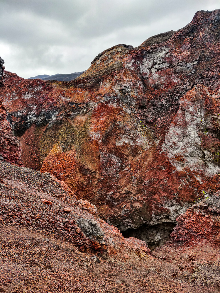
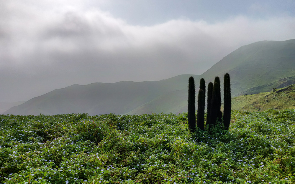
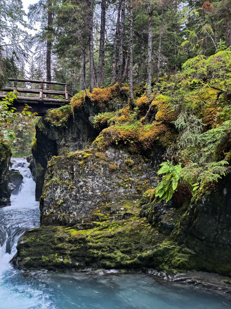
This, without question, is a good forest. Fun fact, it’s the northernmost temperate rainforest in the US! I find the “northernmost” part of that claim kind of comical because if it exists in Alaska, it is clearly the northernmost fill-in-the-blank in the US. The temperate rainforest part is, to me, interesting and unexpected because I think that despite knowing this isn’t the case, in my head, Alaska is still just a frozen tundra. This hike, though. It was giving me “Pacific Northwest” vibes. Important disclosure: I’ve never been to the Pacific Northwest, so you can give that the weight it deserves. BUT, I feel justified in my observation because… Did you know that there’s coastal temperate rainforest stretching from Alaska all the way down the coast into the contiguous US? Aka the Pacific Northwest! Sounds to me like I nailed it.
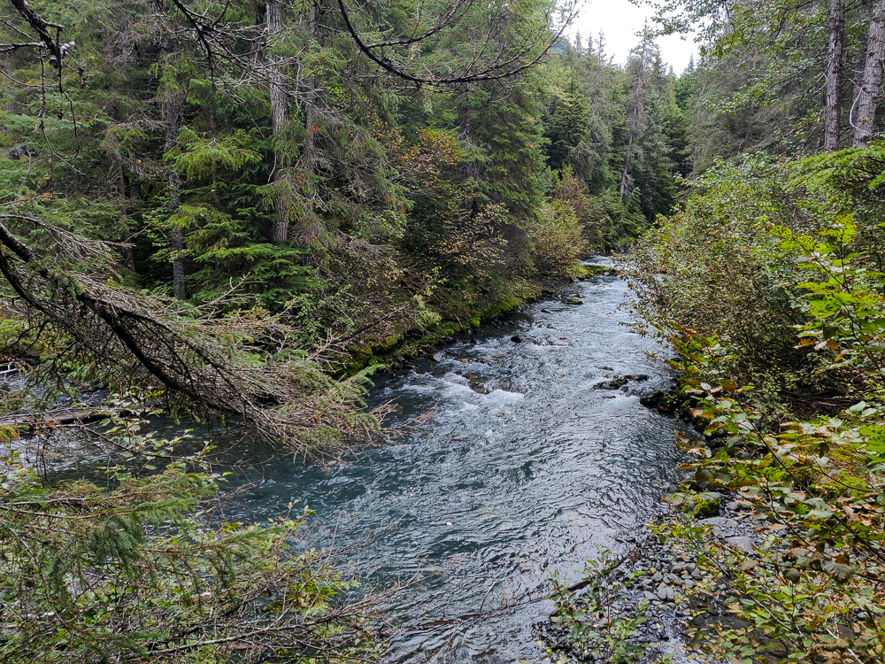
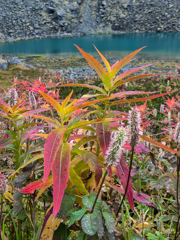
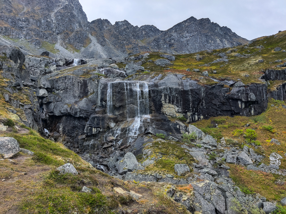
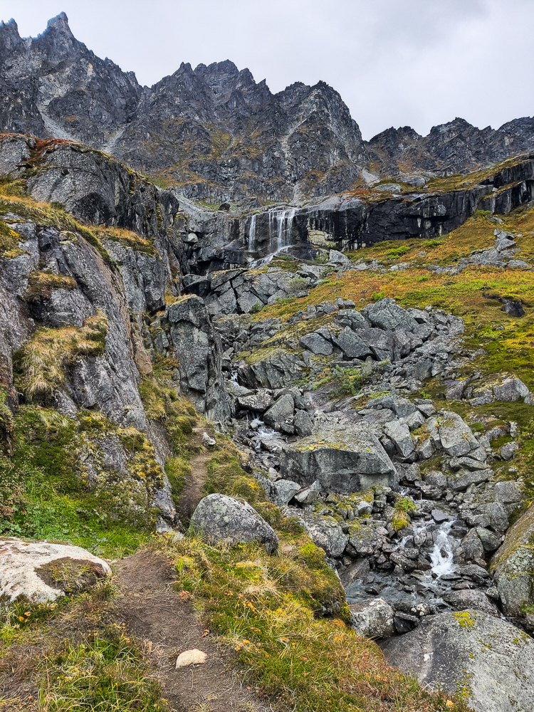
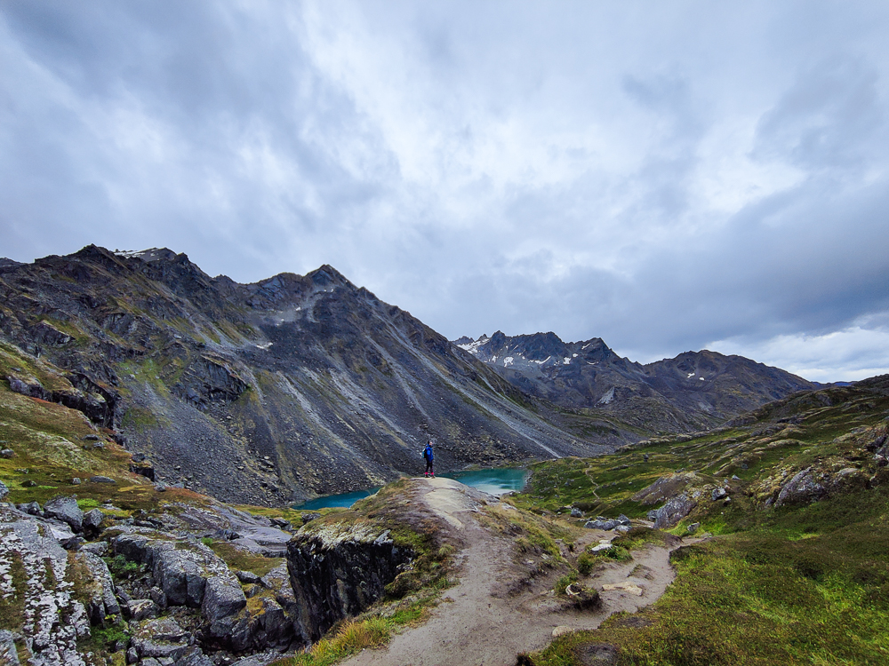
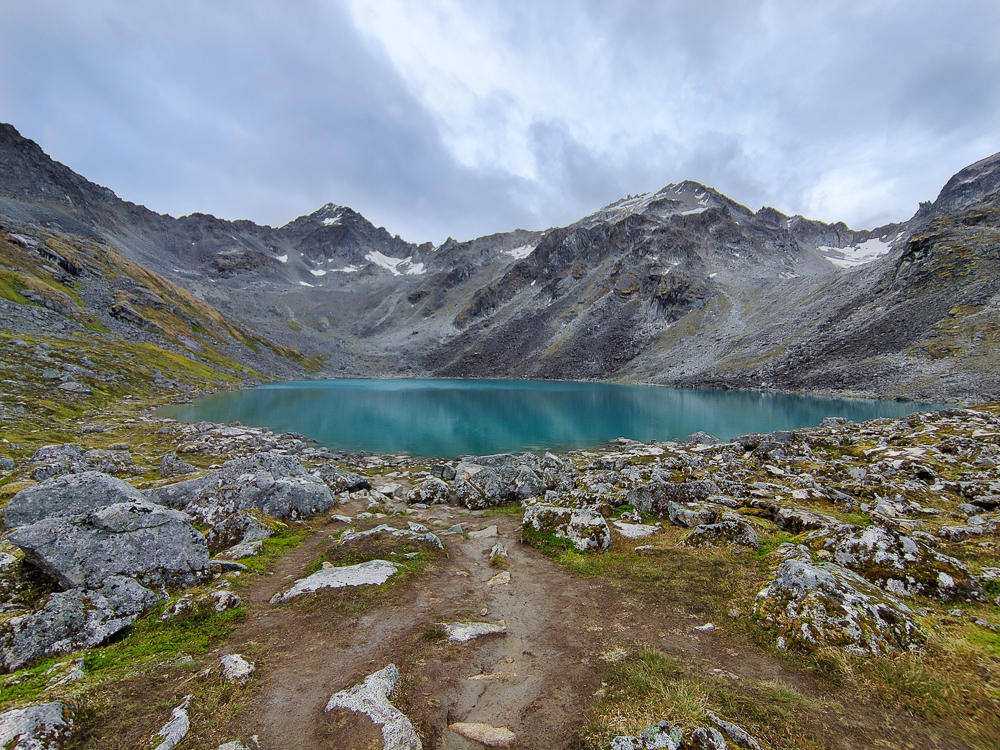
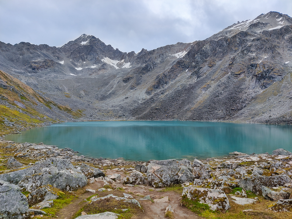
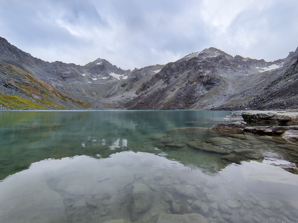
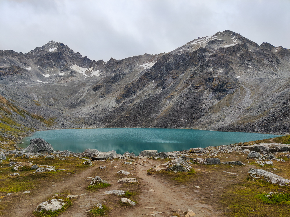
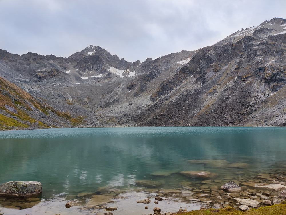
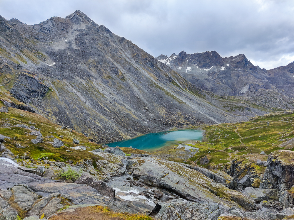
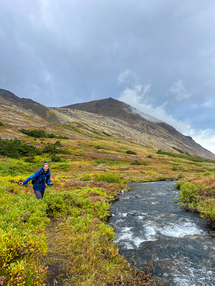
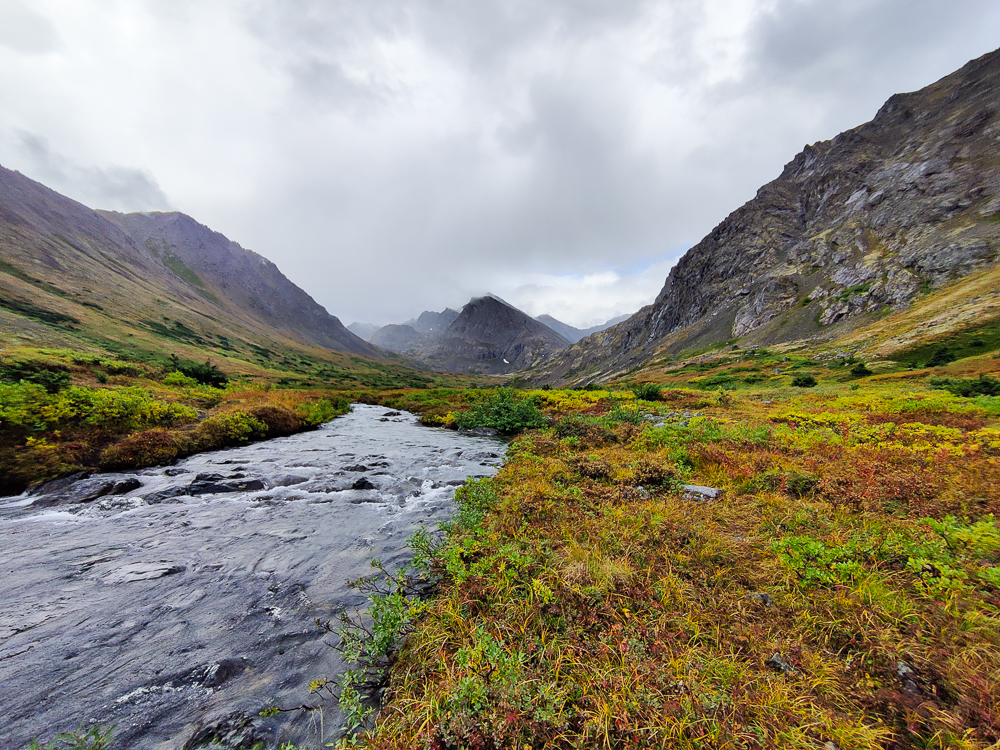
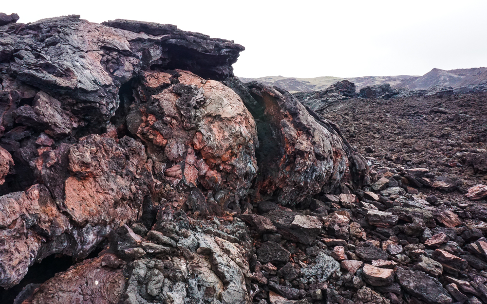
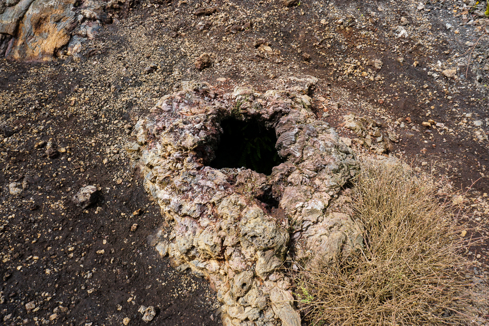
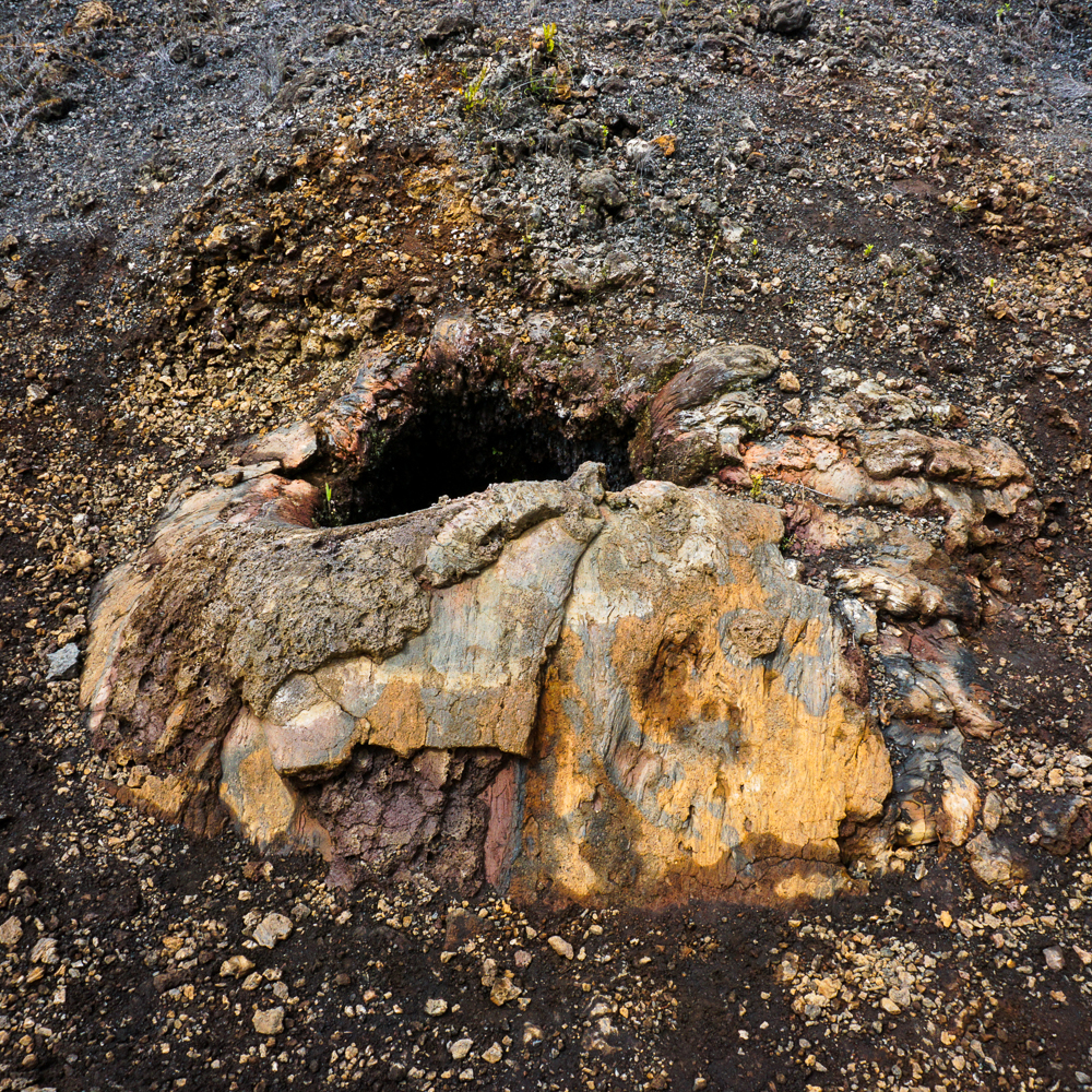
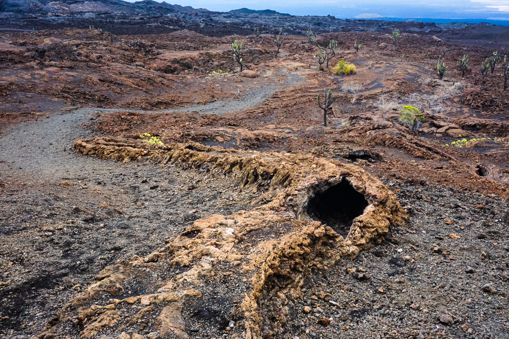
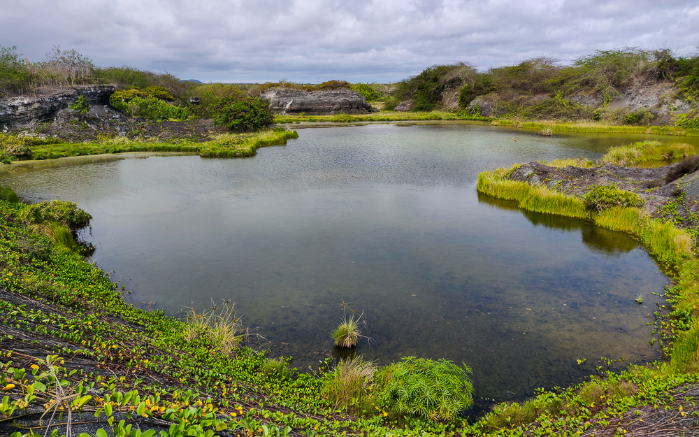
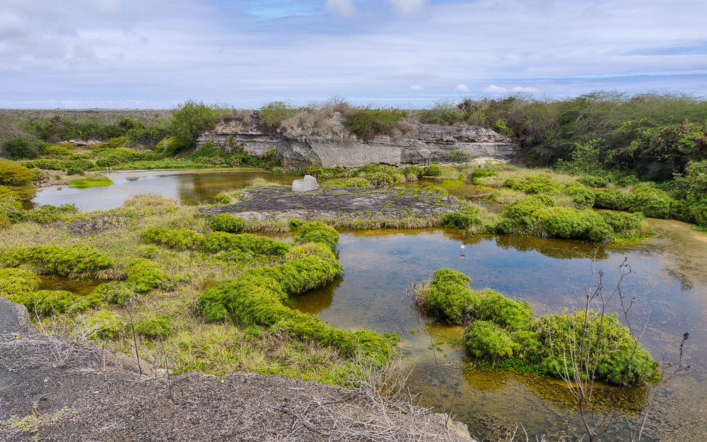
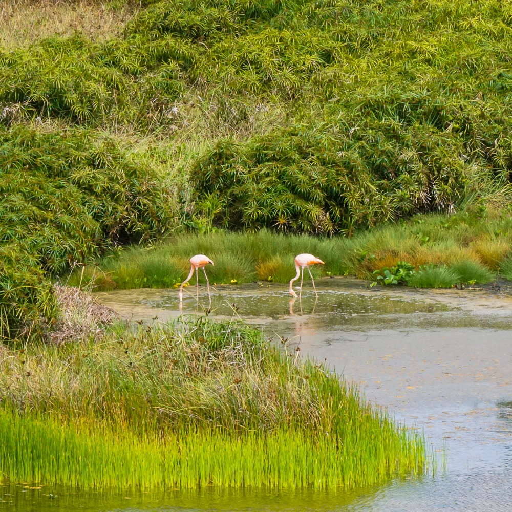
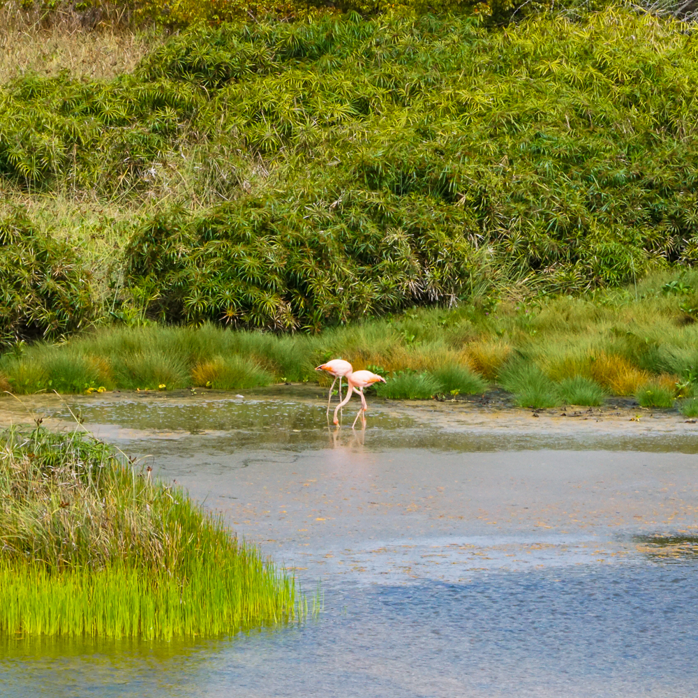
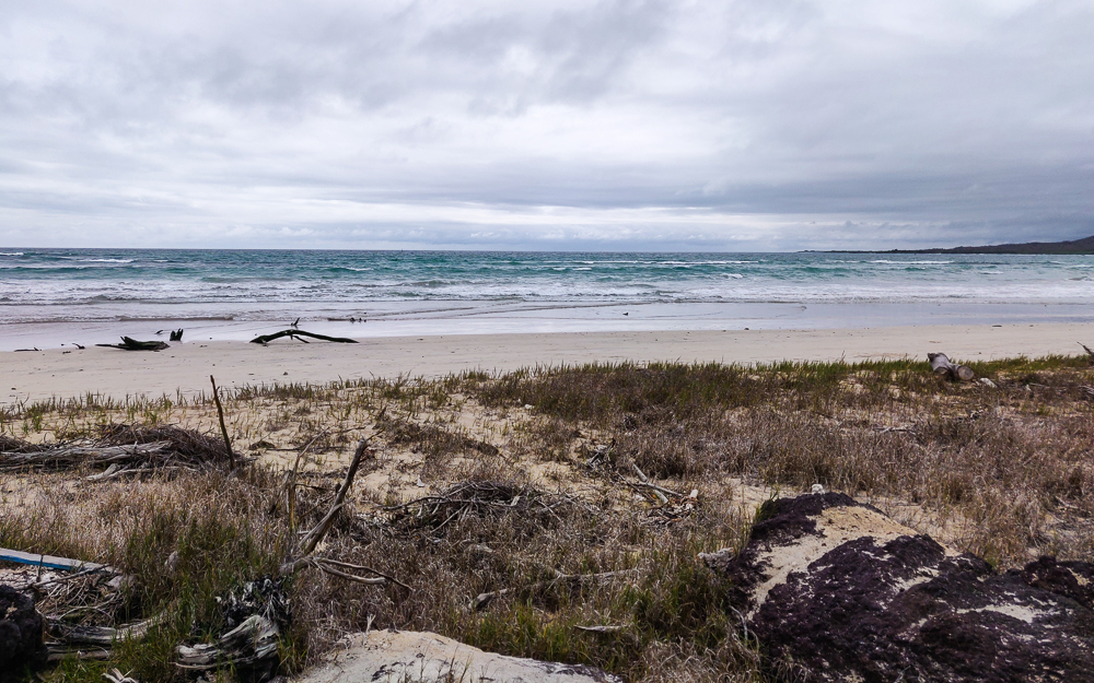
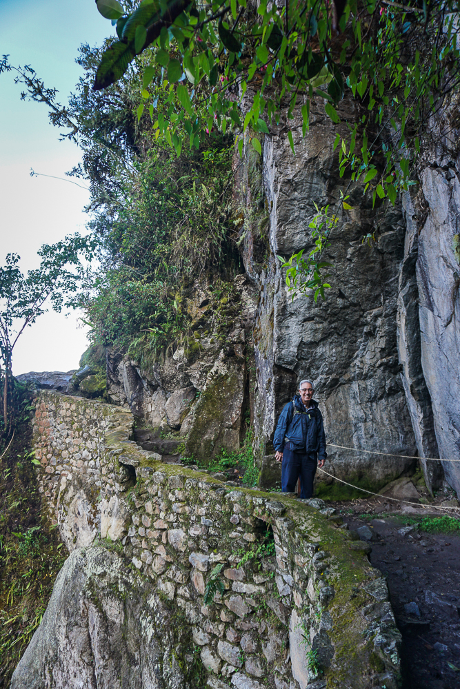
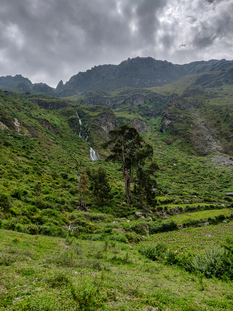
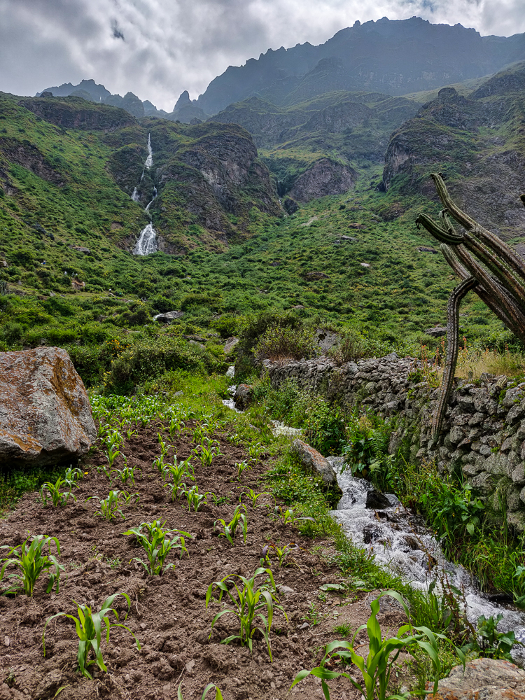
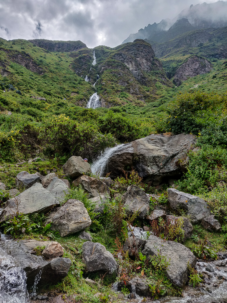
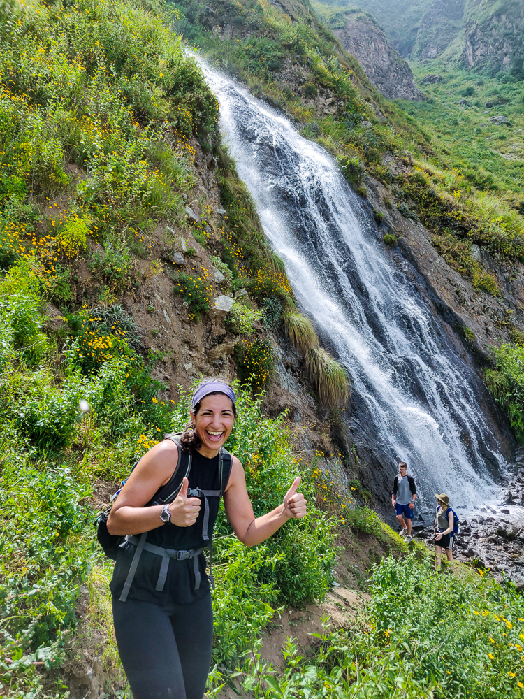
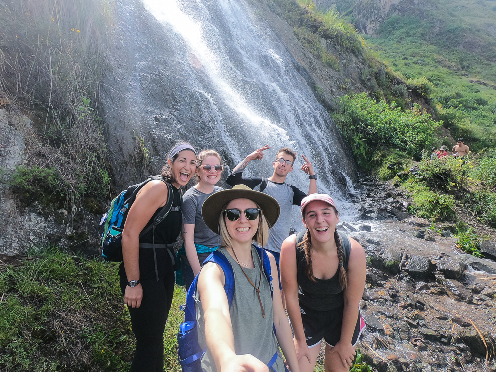
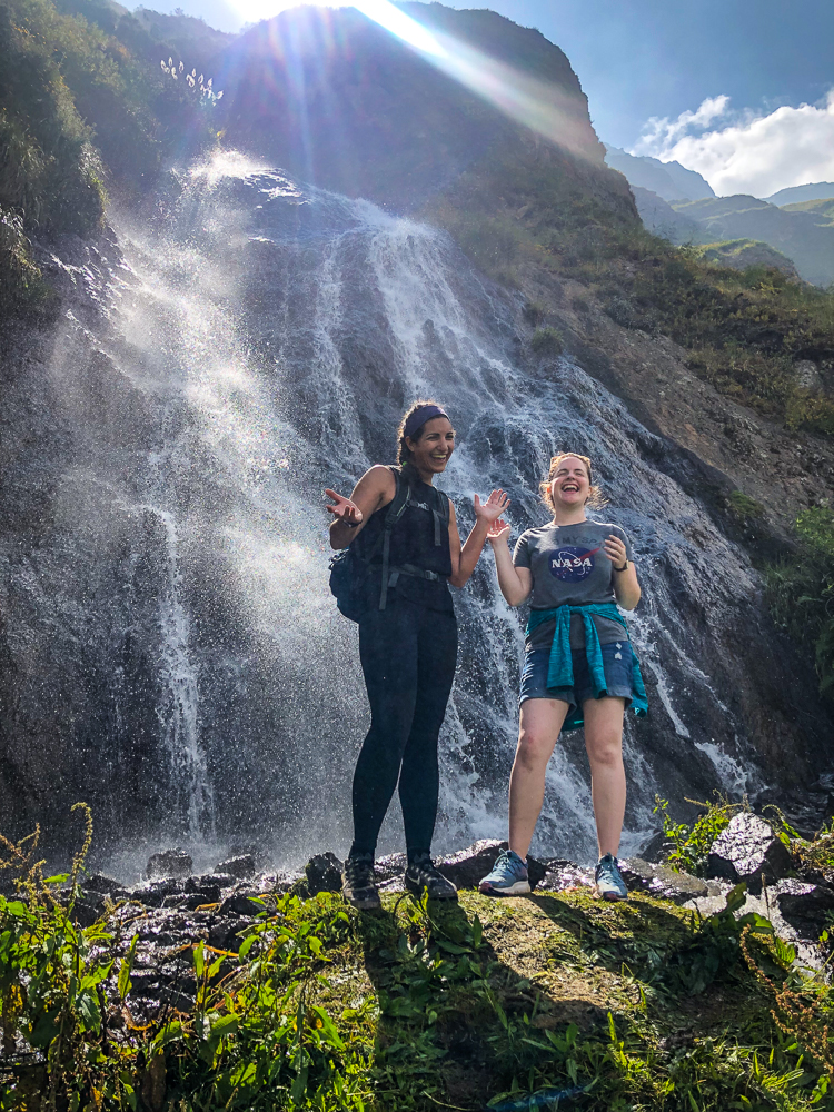
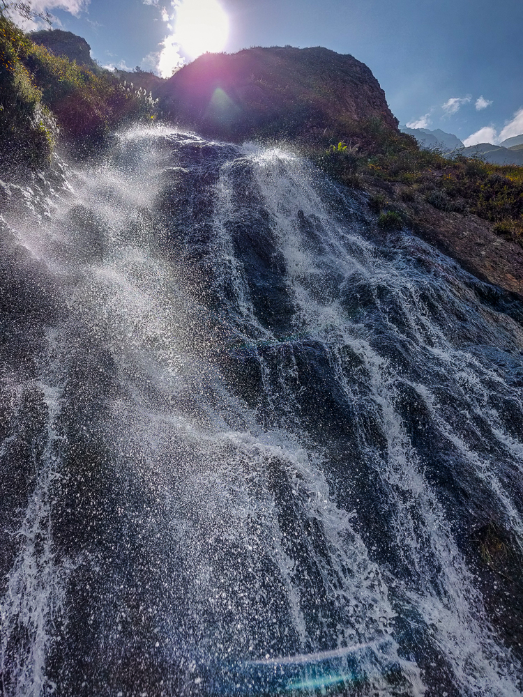
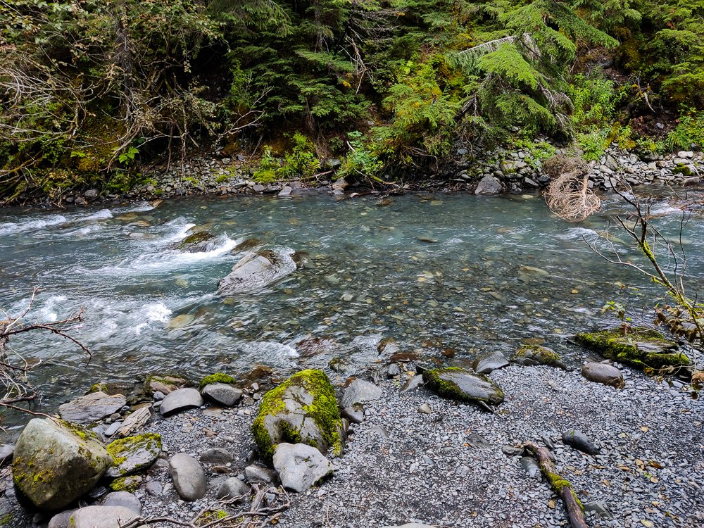
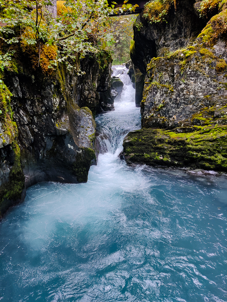
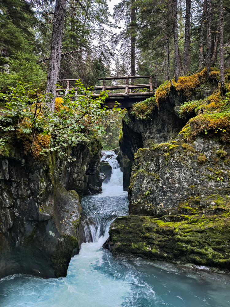
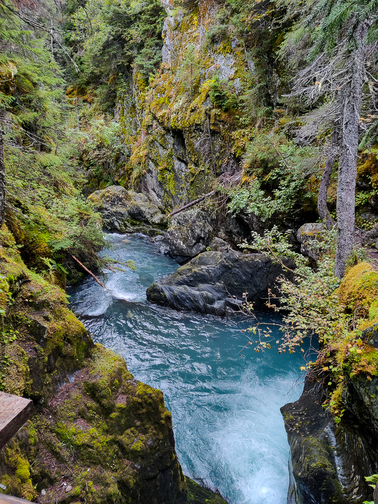
Besides being in a fabulous forest, the hike also criss-crosses a creek (in case “Winner Creek Hike” wasn’t a giveaway). It’s glacier-fed which means it’s SUPER clear and blue and is very pretty. There was this one waterfall that reminded me of an Ithaca waterfall except with more moss. The rock formations were very similar, though.
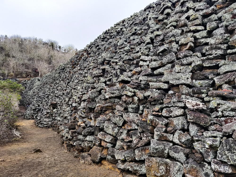
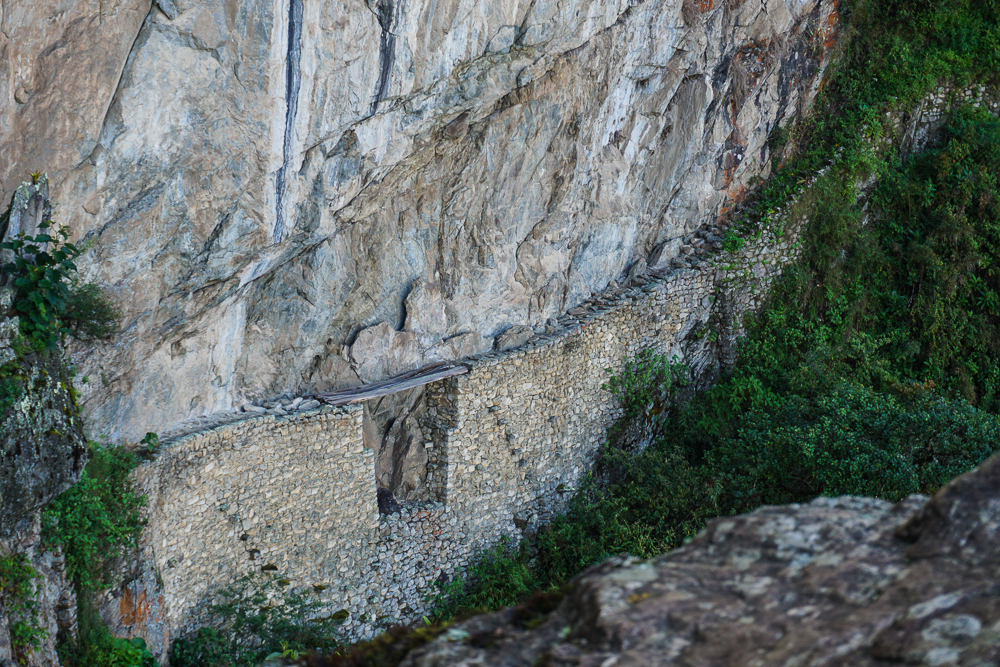
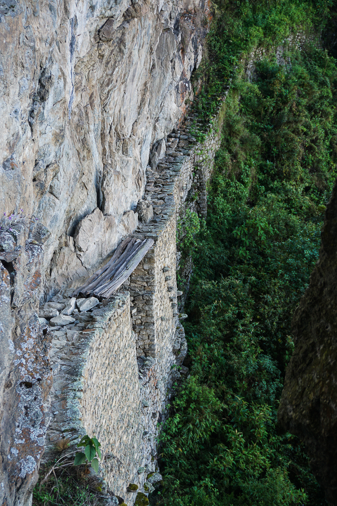
There used to be a hand-tram that you could use for a creek crossing in one place, but there were a few accidents and now it’s closed with plans to replace it with a bridge. That was a bummer. It would have been a beautiful view to see the creek from above, and I love unique things like the hand-tram. Oh well.
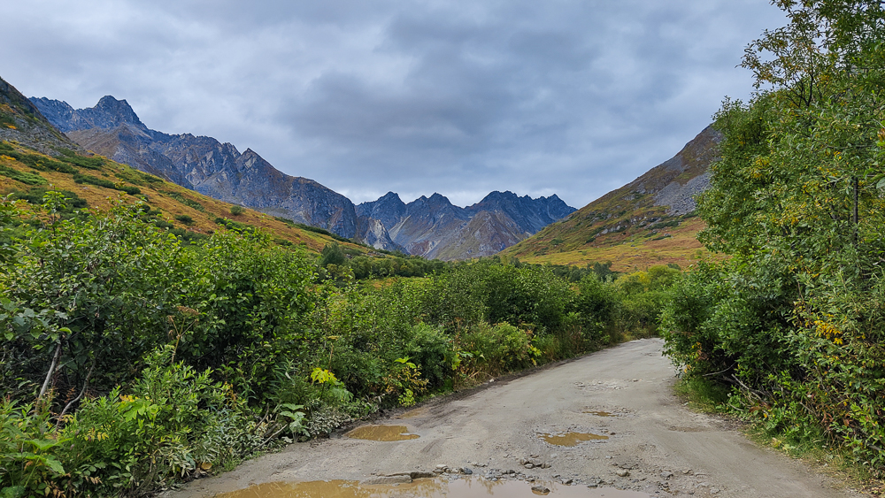
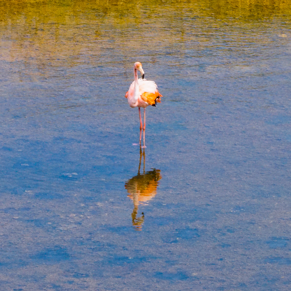
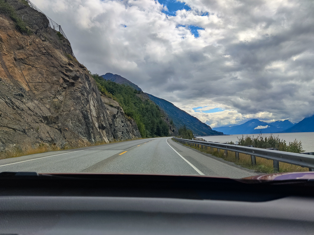
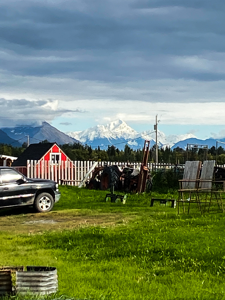
Another pro about this hike is the drive to get there. It’s about 45 minutes from Anchorage, and much of the route runs along the coast! There’s water on one side of the road and mountains on the other. Pretty cool! Apparently, there are often beluga whales in the water there, but we didn’t see any (not that it would have been that exciting if we did… I talked about this in my Anchorage Tour post. You can barely see anything when a beluga surfaces. Just a little flash of white here and there).
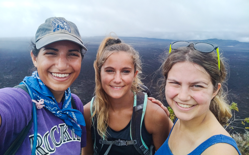
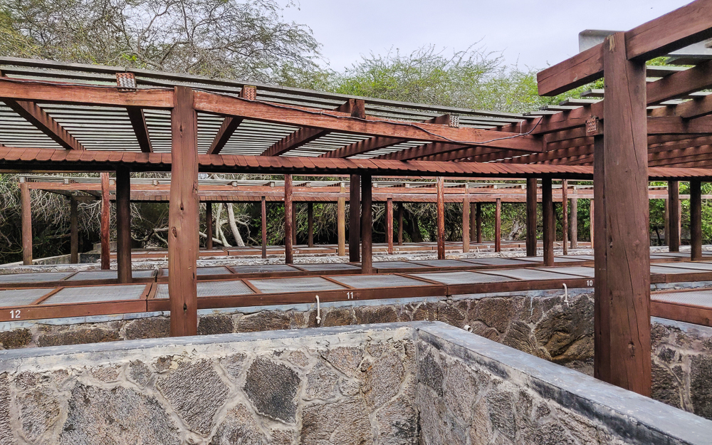
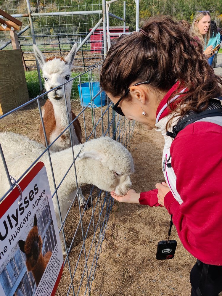
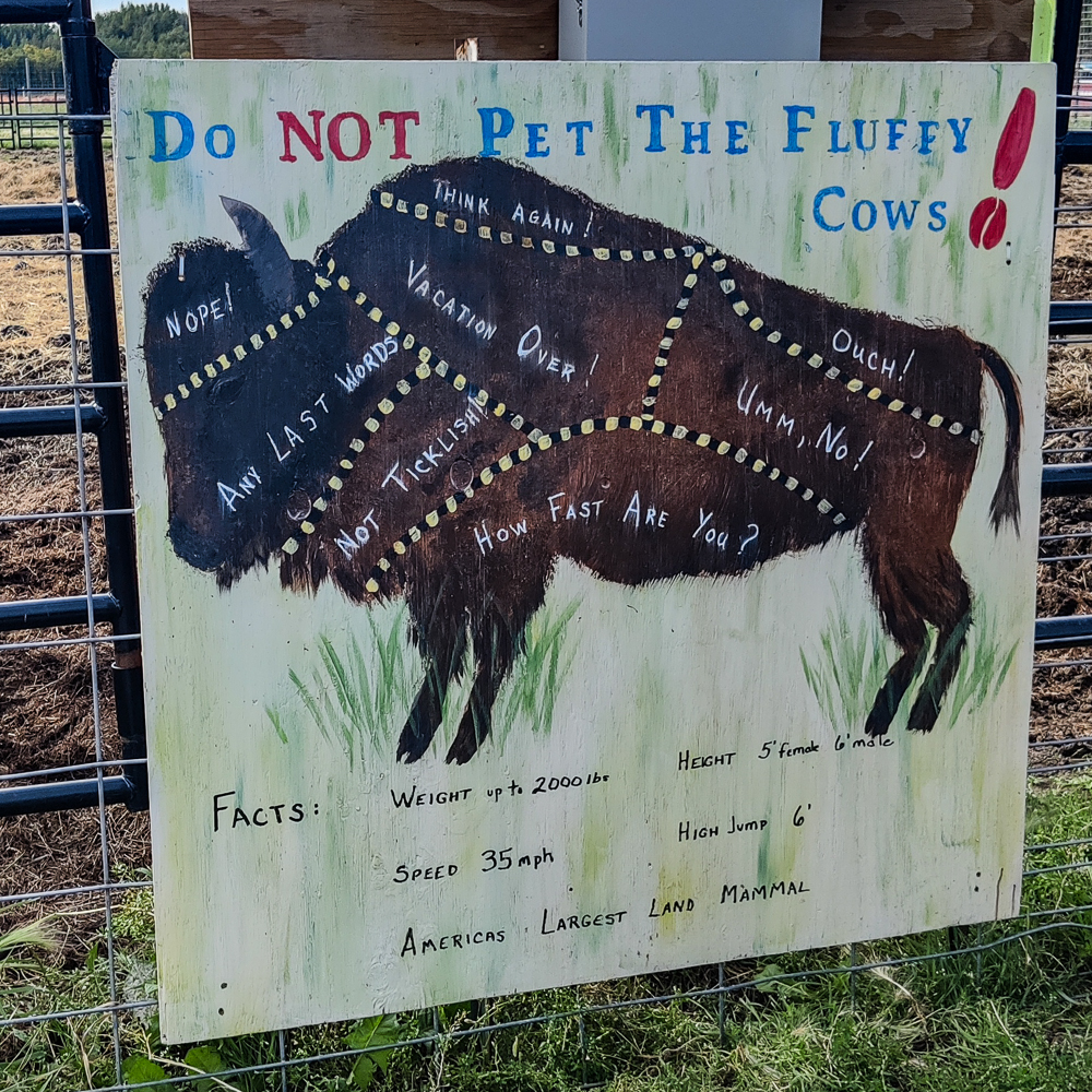
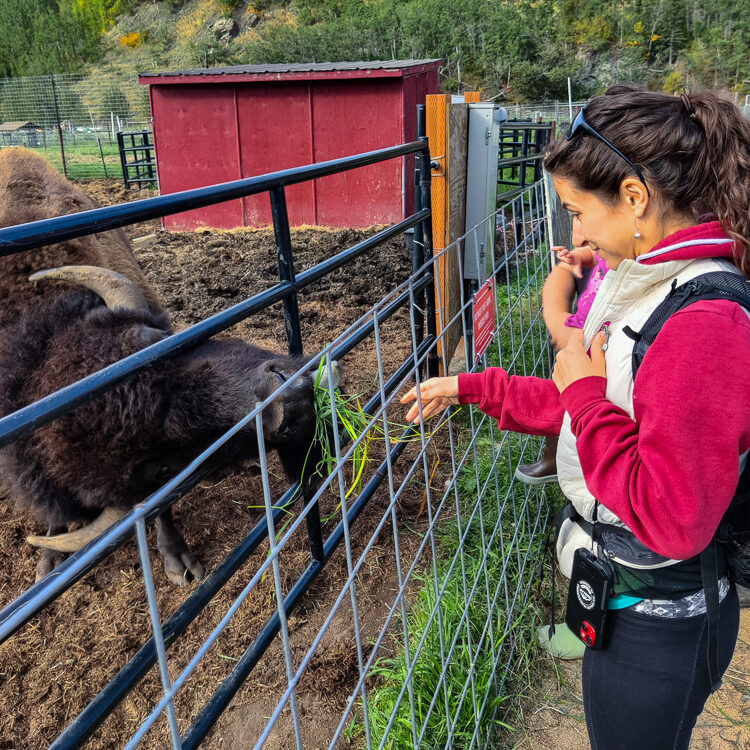
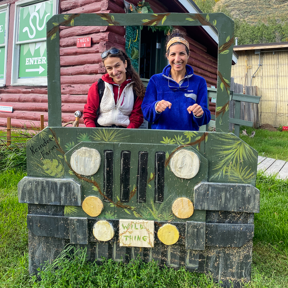
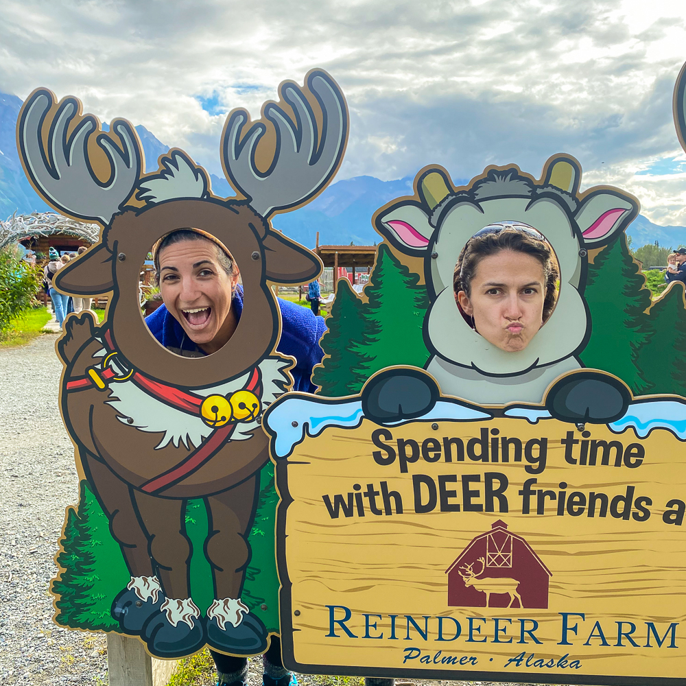
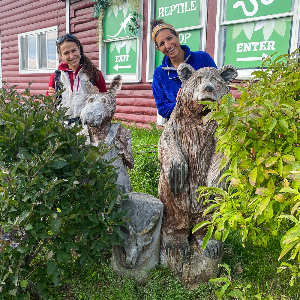
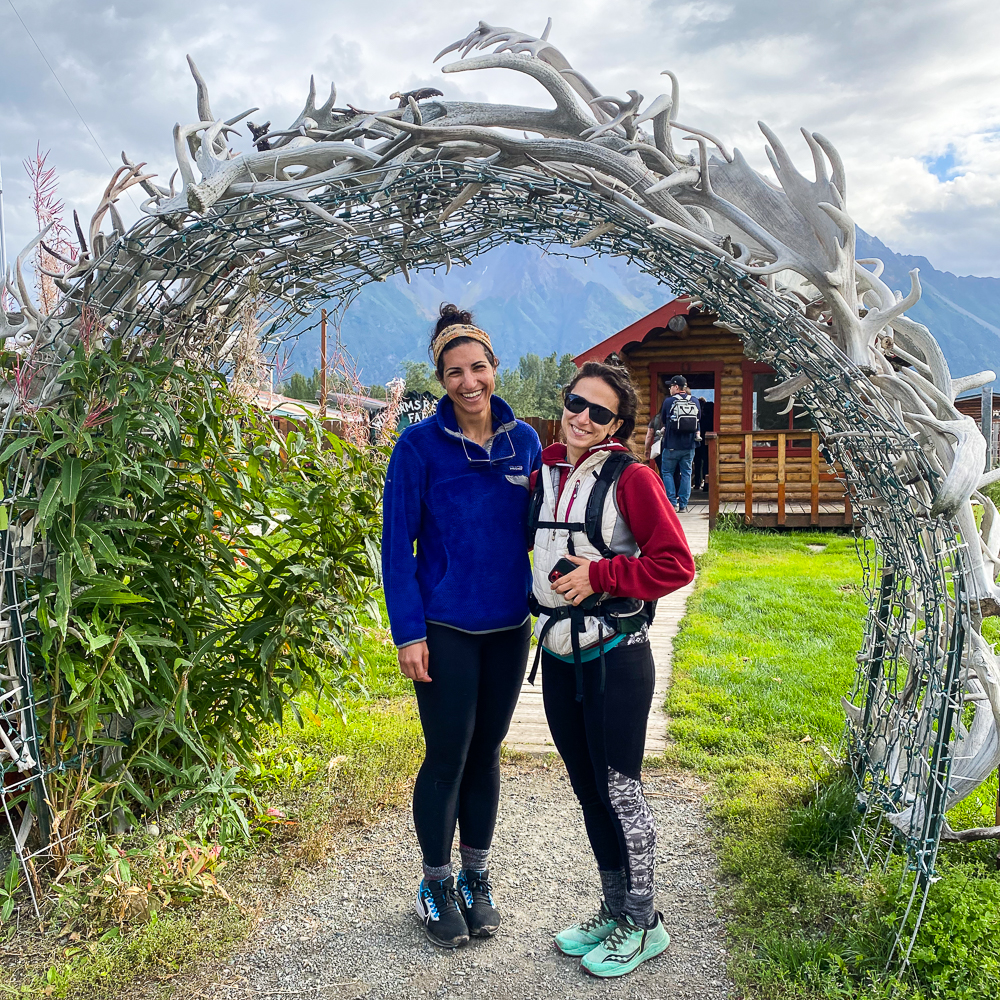
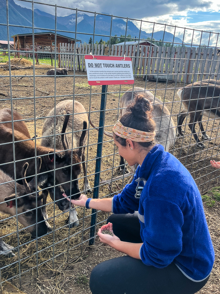
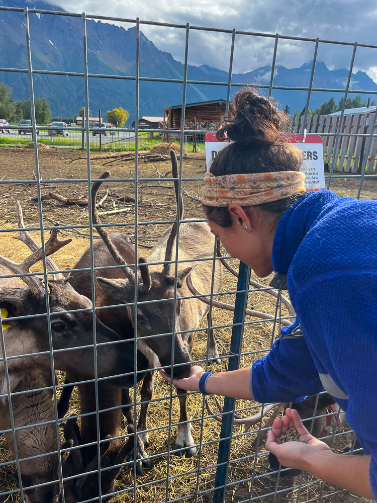
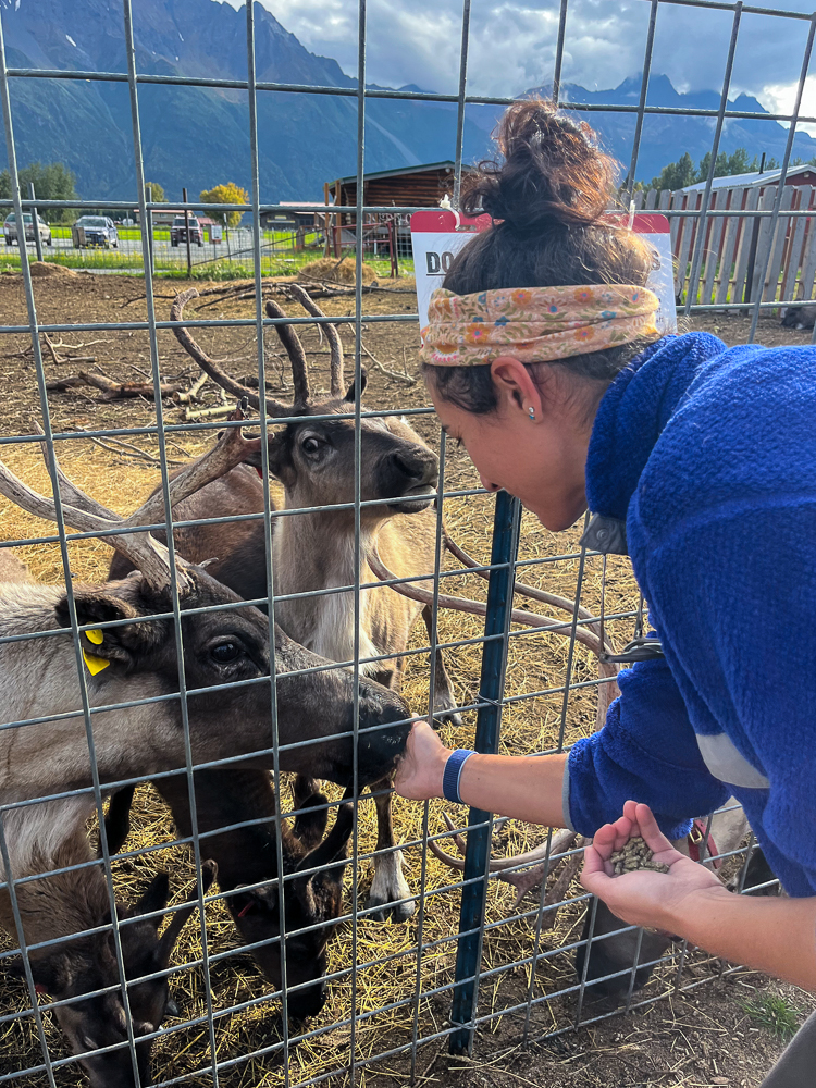
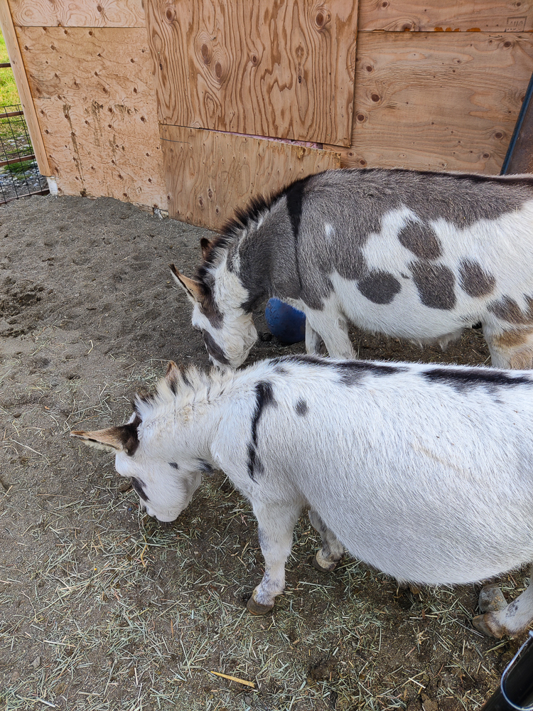
The other activity I want to talk about is visiting a reindeer farm! That’s probably not something I would have sought out on my own, but I have a cousin who lives in Alaska, and she recommended going. It felt kind of silly/gimmicky, but now that I’ve done it, I’m 1000% in.
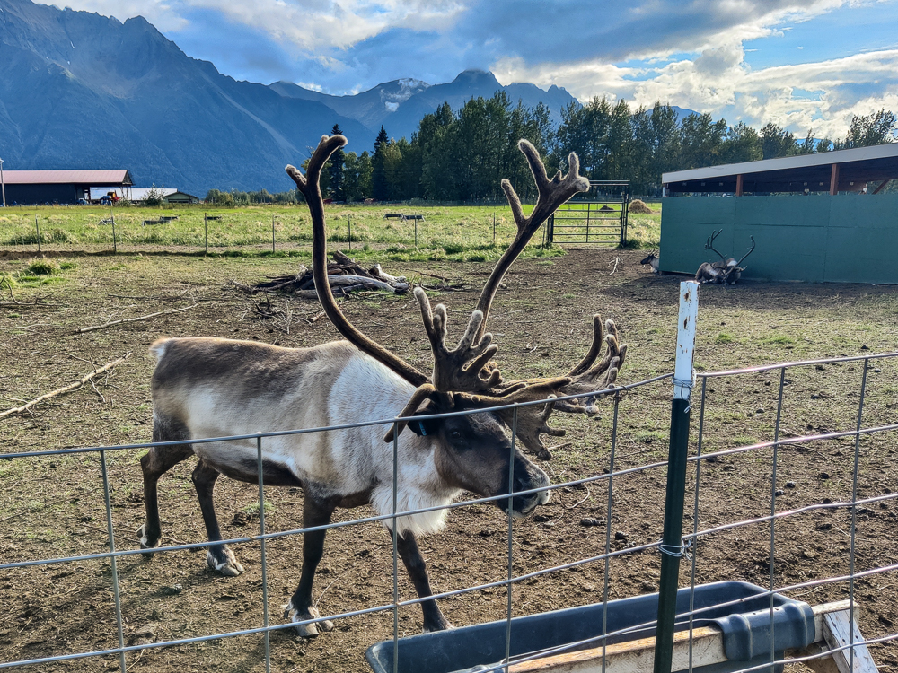
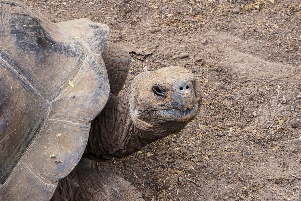
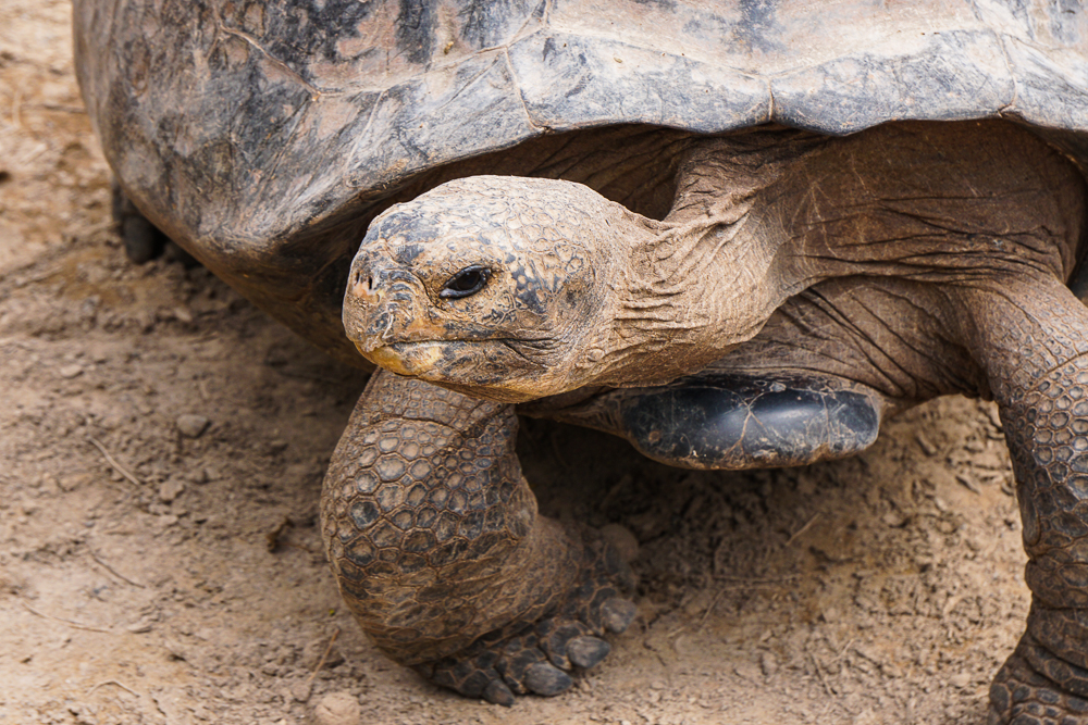
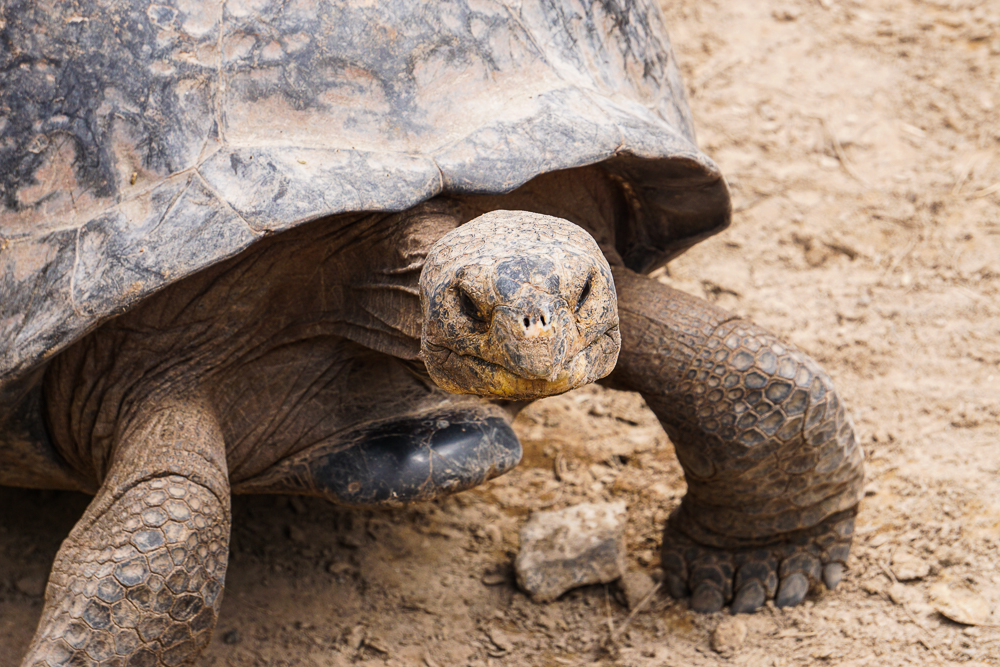
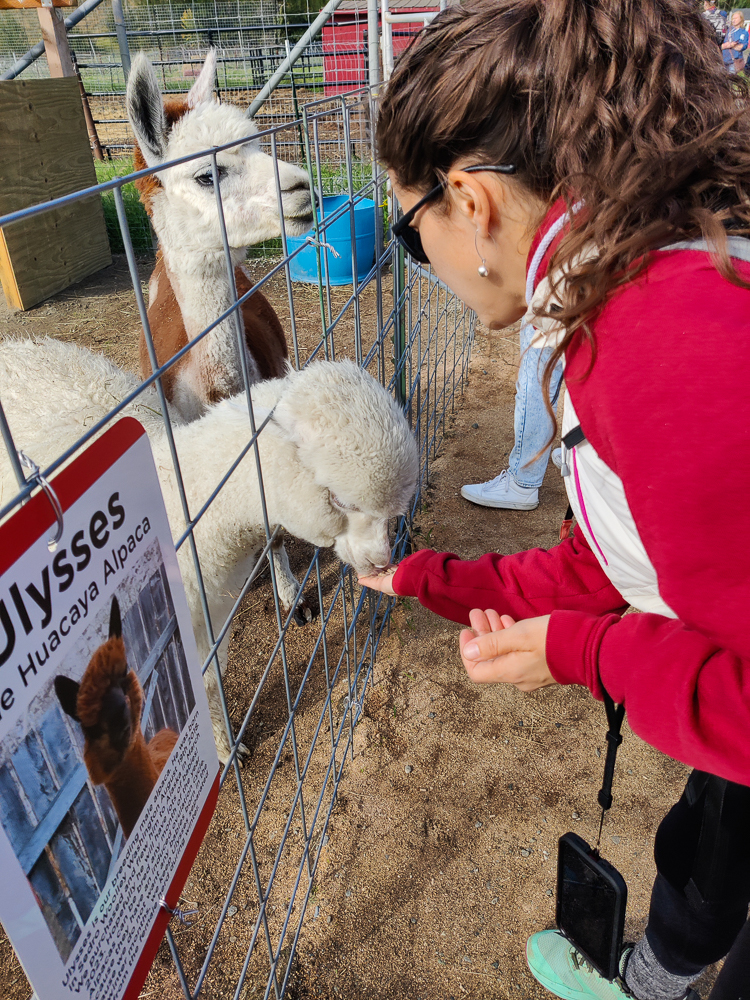
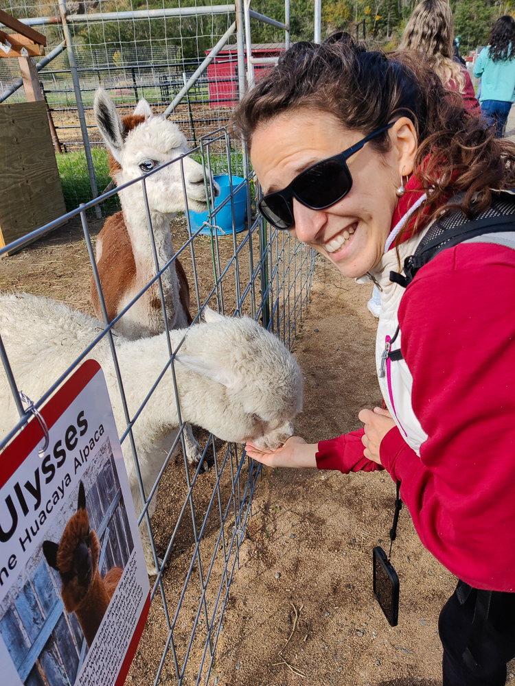
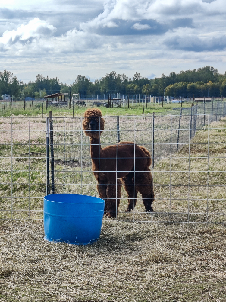
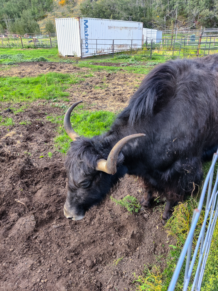
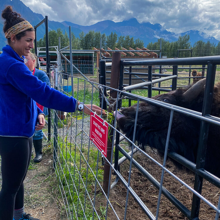
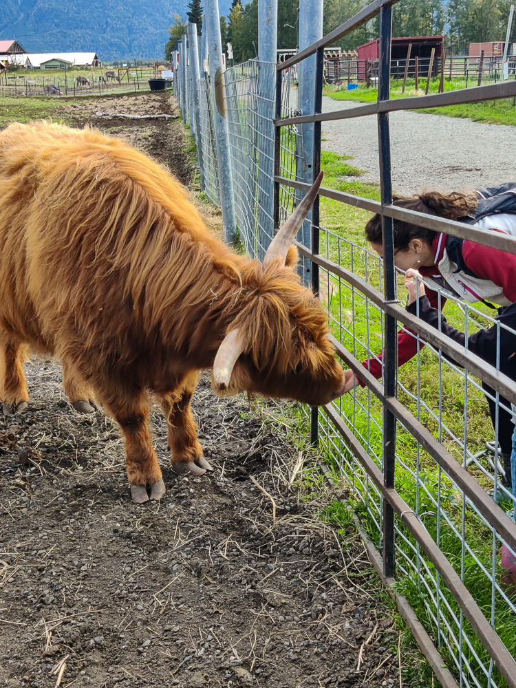
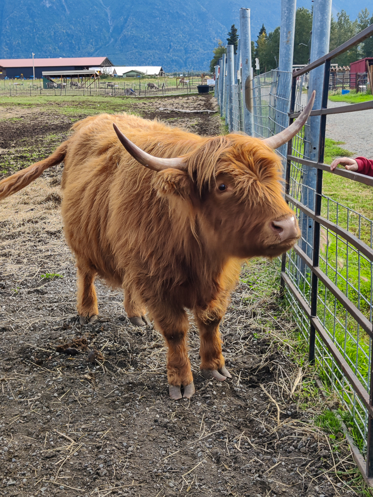
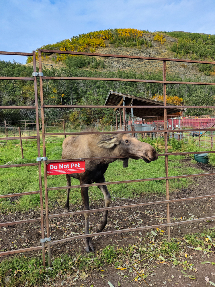
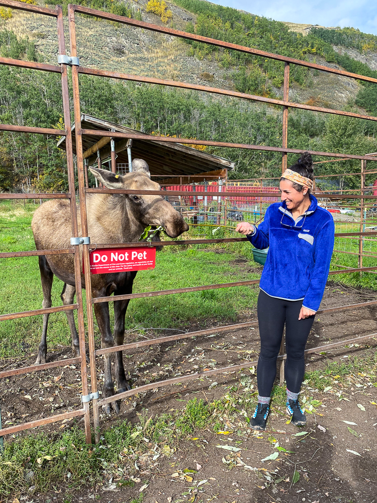
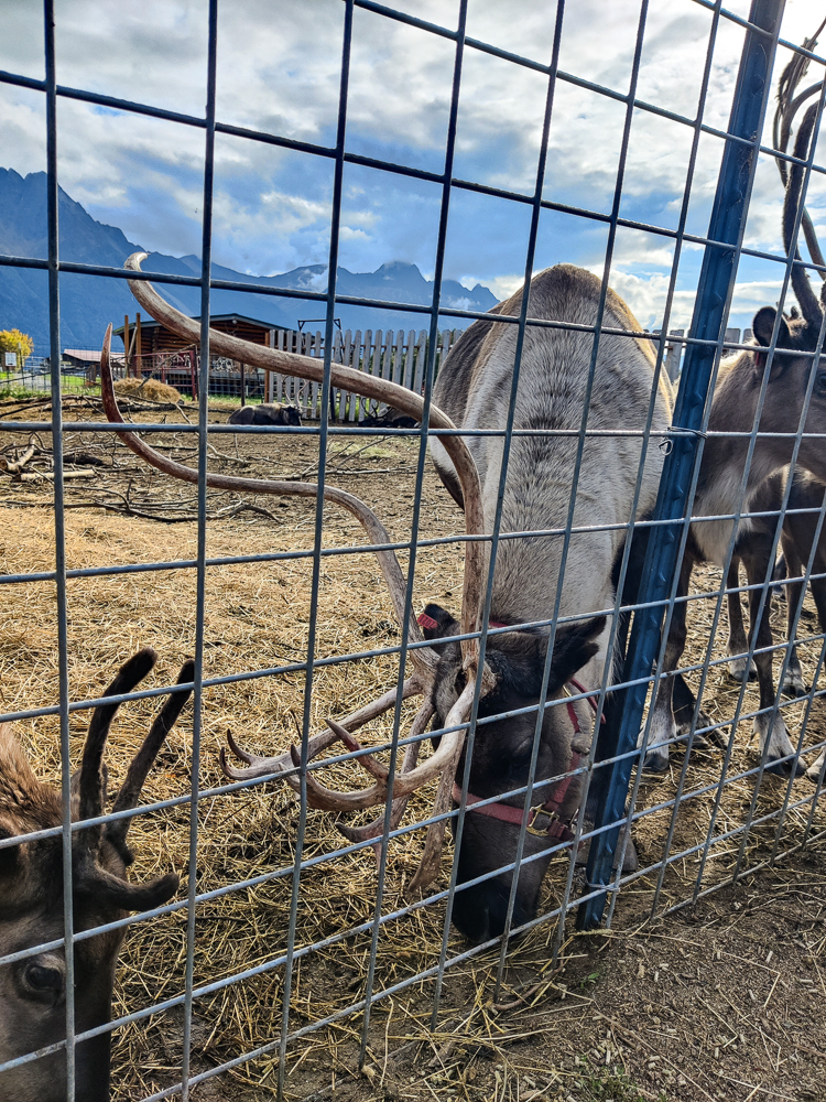
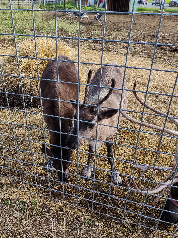
Besides getting to see the animals, you also get to FEED the animals which, again, feels like something gimmicky for kids, but I got over that feeling pretty fast once I did it. They don’t just have reindeer! The place we visited also had some alpacas. A Tibetan Yak. Highland cattle. I petted the yak and fed him some branches. There was a moose! Her name is Lily, and she was just about a year old but still enormous. The lady from the farm said that it’s special that they have a moose because you aren’t allowed to keep them without a good reason. Lily was abandoned as a baby, so that’s how she came to live with them. And we got to feed her! They had a little reptile house which was random but interesting. Olivia and I took some prom pics together. We saw a couple of miniature donkeys, and then there was another reindeer herd. We got to feed them too! I don’t know what I was expecting from the whole experience, but it was very entertaining. Enjoy a recap of our visit in probably way too many photos…

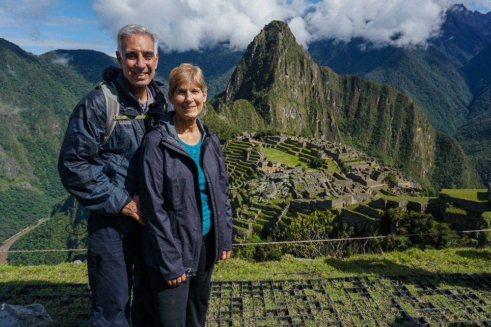
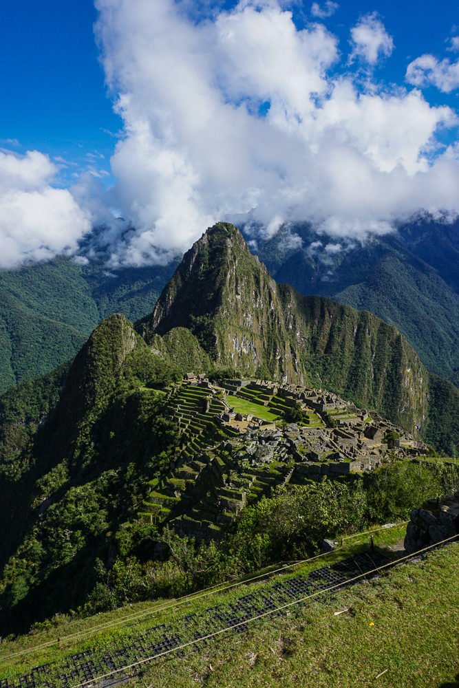
And now, with that, our time in Alaska has come to an end. Don’t worry, though! The blog isn’t going anywhere! Our next stop is… New Zealand! This is another actually recent trip (before we really start diving into the archives). I was there in February of this year! So, get excited! It’s going to be a fun time!
Before we part ways, I have a couple of orders of business to review…
I know I’ve been posting at a snail’s pace, and part of the reason for that is because I’ve been doing some general website maintenance projects (the other parts of the reason are because I’m trying to have a life and also not burn out, so you know, all good things!).
Mainly, I’ve been working on cleaning up the archives. Believe it or not, I’ve written over 400 posts since I first started the blog, and I never really developed a good system for making old content accessible. It’s still not quite there, but little by little, I’m hoping9 to clean things up. I’ve just redone the Georgia archives page (check it out and enjoy some throwback posts!), and I’m planning to slowly work my way through the others as well.
Next, I know that my travel timeline is confusing. I’m writing now about things that happened who knows when, and it’s just going to get more confusing the farther back in time we go. SO, I’ve created a chronological archive where you can see when I was actually somewhere (if you care) and keep track of what’s been written about and what is still to come.
To reiterate the plan, we’re off to New Zealand next, and then barring any new travels, we’ll go backwards from most recent to oldest trips. So, from there to Barcelona, then picking up where we left off years ago in South America, and eventually making our way back to the Europe of what will probably be 10 years in the past by the time we get there. But hey, a lot of that stuff has been the same for hundreds of years, so what’s a few more?
Admittedly, the chronological archive is also very confusing, so I’m not sure how much good it does. At the very least, when I forget all of the places I’ve been, I’ll have someplace to go and be reminded. For the rest of you, feel free to ignore it and keep going with the flow. Just know that when you start getting posts about me being in Panama or Germany or Albania, I was not there any time recently. I’m just reliving the glory days.
ANYWAY, enough of that! So, say goodbye to Alaska, and next time we meet, it’ll be in New Zealand!