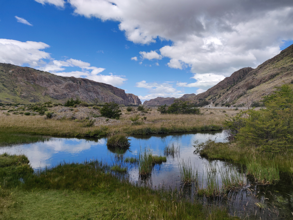
The blue/cloudy sky reflecting on the river

Our final day in El Chaltén was also our final day of hiking… our seventh in a row. The fun wasn’t completely over – we had a flight to Buenos Aires the following day, but the nature portion of the trip was coming to an end. Even though we had a bus to catch, it didn’t leave until 6PM which meant we had nearly the entire day to wander around and get our final taste of the Patagonian wilderness.
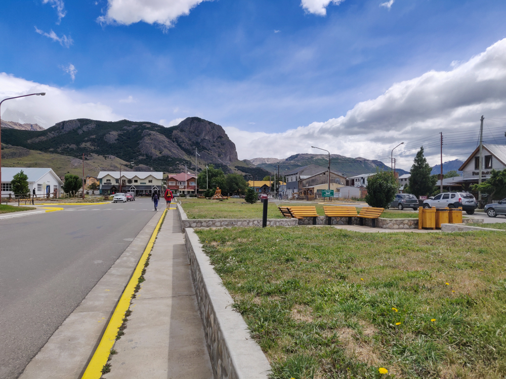
The major street with nearly no one in sight
The main road in town

Originally, Mike wanted to do this hike that’s 4 hours of constant uphill and then 4 hours down the same path to come back. It’s supposed to give you a really nice view of the valley on a clear day. He said I didn’t have to go with him, and I’m still not sure if that was him trying to be nice or trying to tell me that he didn’t want me slow-poking along… but if it was the latter, too bad because I decided that I was going to do whatever he wanted, even though there was NO part of me that wanted to go on another 8-hour hike.

THANK GOODNESS he changed his mind. He decided the night before that he didn’t want to do it anymore “because it doesn’t sound very fun”. Tell me about it. I was pretty happy.
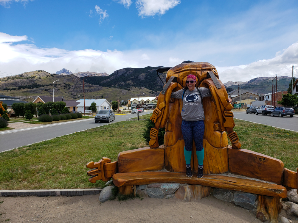
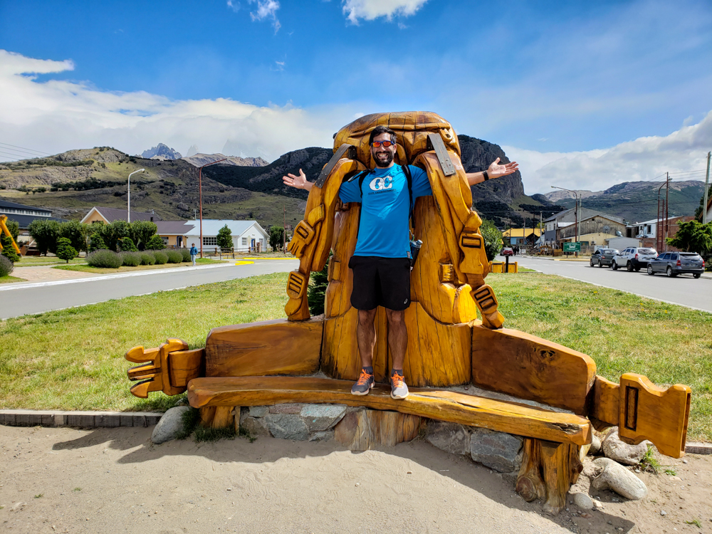
Me pretending to wear a backpack-shaped bench
Like my new backpack?
Mike wearing a giant backpack
The sun came out right after my picture… this one of Mike looks like it was taken on a completely different day.
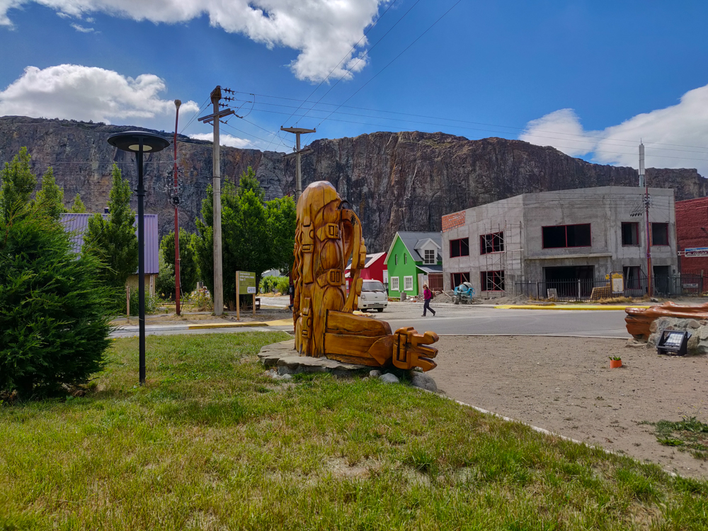
A carved, wooden backpack-shaped bench
The backpack-bench from behind. It’s kind of hilarious…

We decided to have an “easy” day and do three little hikes around town: two to viewpoints and one to a waterfall. This was the itinerary that I planned for us to do on our first day in town as a rest day before Mike overruled me and sent us on the Laguna Torre hike instead because the weather was nice. I gave him a hard time about deleting our rest day, but I have to admit… he was right. I know, am I really admitting that Mike was right about something? Yes, but don’t get used to it. For our entire trip, we got EXTREMELY lucky with the weather. Everyone says that the weather is super variable, and it doesn’t seem like clear days are the norm. We had clear skies and good visibility EVERY day, until this last one when we were doing hikes where that wasn’t as important. It would have been much more of a bummer on the longer hikes we did the two days before. So, good on you, Mike.

For once, we let ourselves sleep in and didn’t set an alarm until 8AM. I know, luxury. Before we could hit the trails, we had to pack our bags and move them out of our room since we were checking out. We were like two sloths getting ready for the day and finally motivated ourselves to leave when it was time for our hostel friends to catch their bus. The bus station was right on our way to the first trailhead, so we walked with them, said our goodbyes, and continued on to the “Los Cóndores” viewpoint. It was just a quick 40-minute walk from town, and you get a nice view of the valley. That’s when we realized how unintentionally well-planned our hiking schedule turned out to be. We could see where Fitz Roy was supposed to be, but it was completely covered in clouds. When we went, it was totally clear! Also, it was so good that we didn’t do that terrible 4-hour uphill hike because it’s only worth it if it’s a clear day, and this was definitely not!
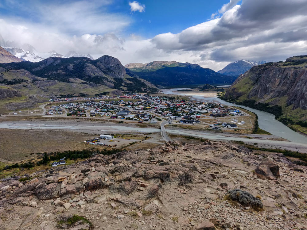
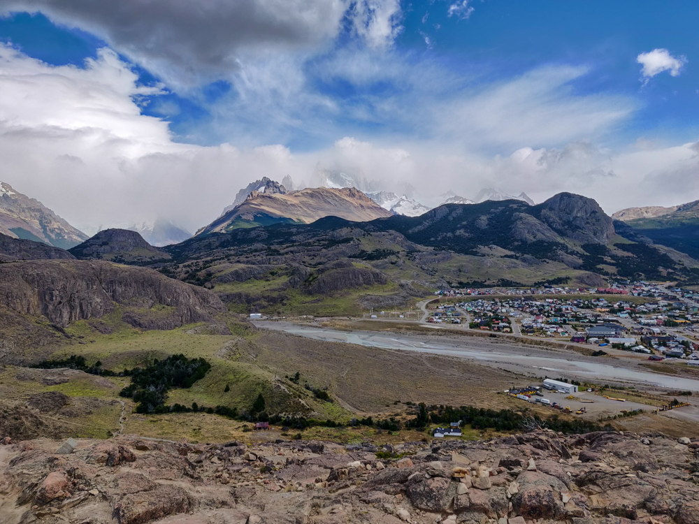
El Chaltén from the first viewpoint
The bustling metropolis of El Chaltén
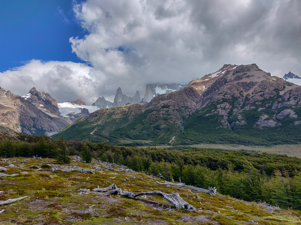
Fitz Roy almost completely blocked by clouds
Look at all of those clouds around Fitz Roy!
No sign of Fitz Roy
Where is it??? So glad we weren’t doing the Laguna de los Tres hike on this day!

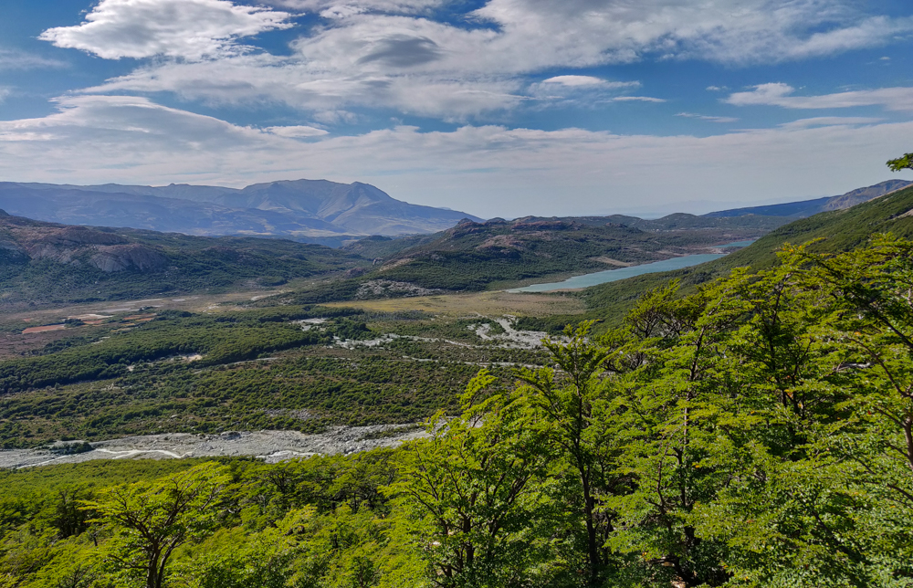
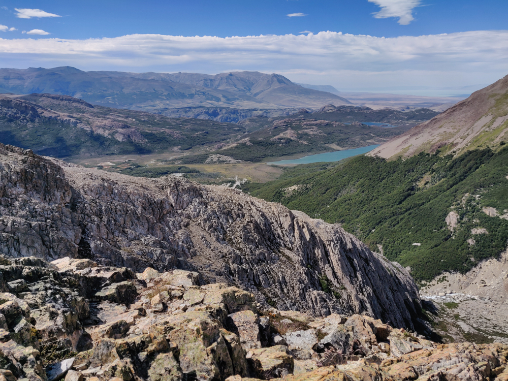
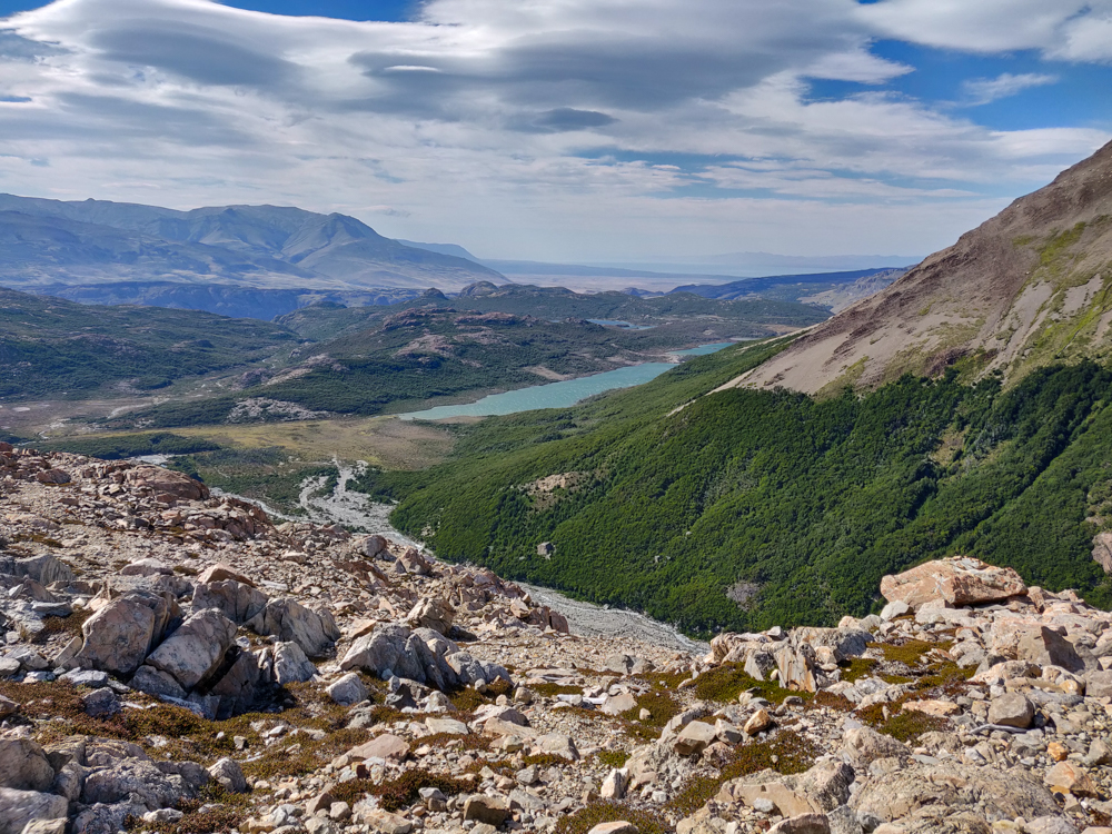
About 15 minutes past that viewpoint is another, Las Aguilas. From there, you can see the valley on the other side of the mountains where there’s a pretty lake. They weren’t the most magnificent hikes, but they were definitely worth the minimal effort it took to get there. Plus, we got to see a few condors along the way! I’m not much of a birder, but even I can appreciate seeing such graceful birds swooping through the air.
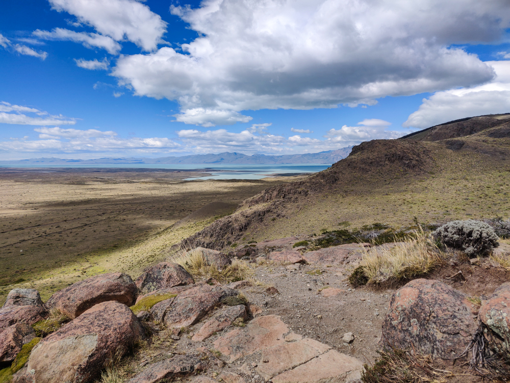
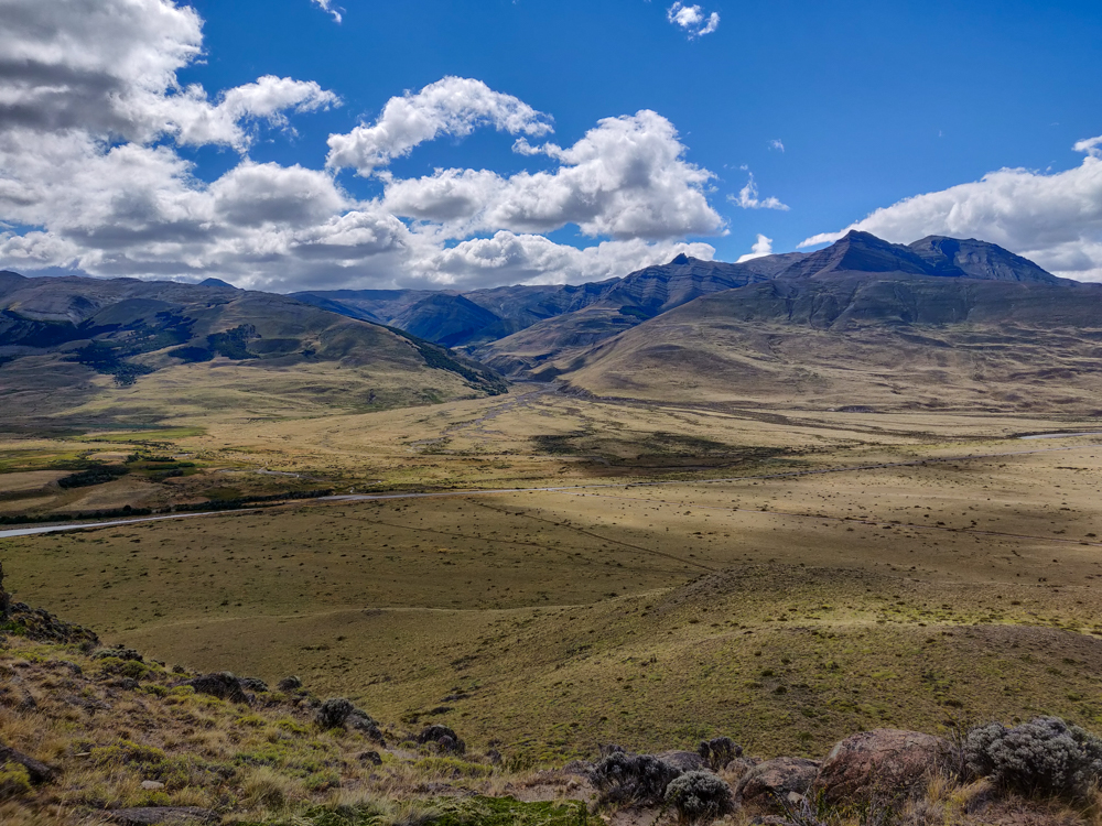
Mountains and a lake in the distance
View from the second viewpoint. Not shown: crazy winds.
The road into El Chaltén and mountains behind it
Love these mountains

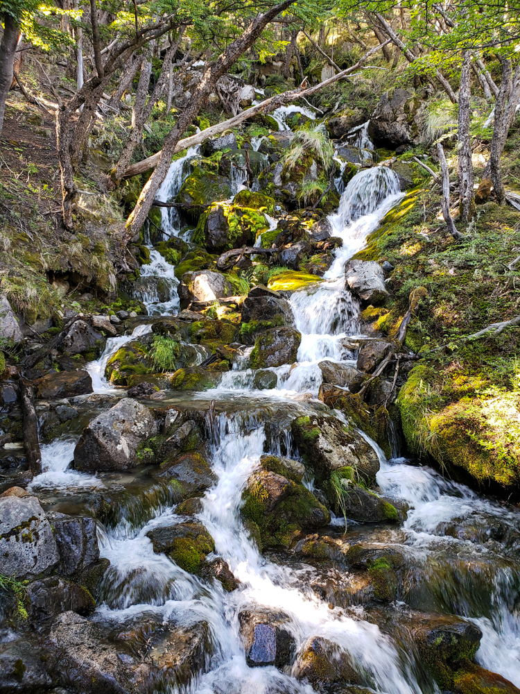
These two hikes are on the south end of town. Our last hike was to Chorillo del Salto, a waterfall past the north end. It’s only supposed to be a 40-minute hike, but that’s with the trailhead ALL the way at the end of the town. So, we walked from south to north and then went the additional 3km to get to the waterfall.

The hike was easy because it was almost entirely flat but also hard because I kept thinking it should be over soon, and it kept not being over. I guess I would have liked to have some informative signs telling me what kilometer we were on and how many we had remaining, unlike on the Laguna Torre hike when I cursed the existence of such signage. I’m hard to please.
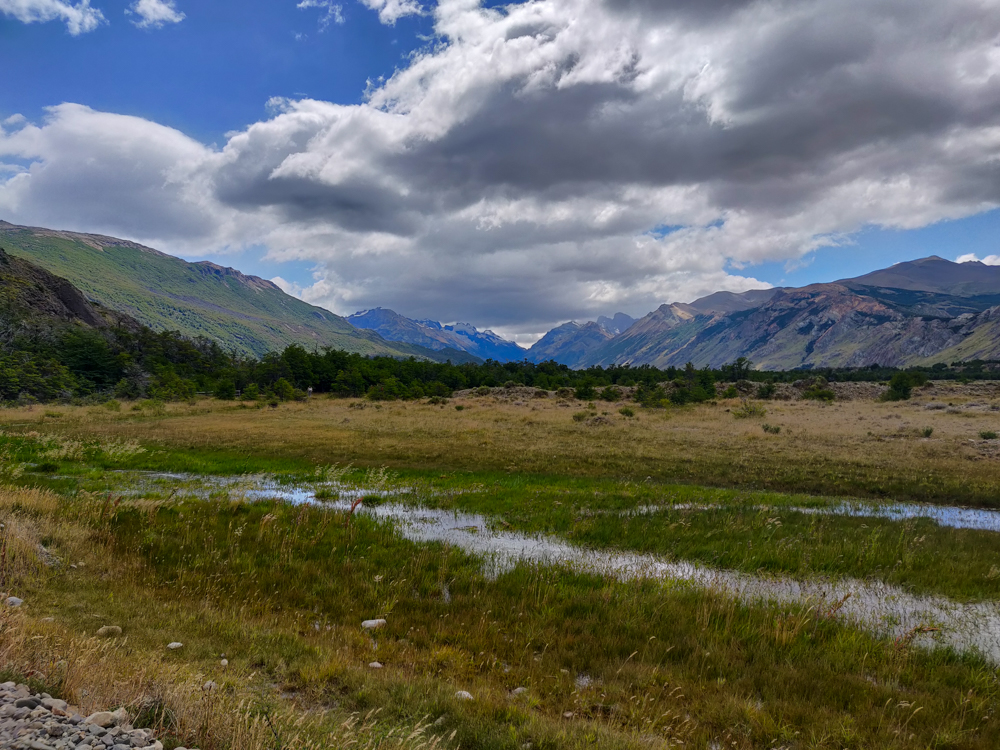
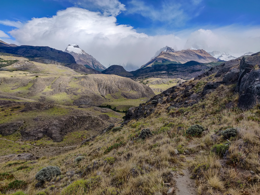
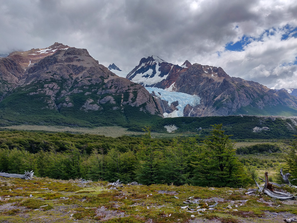
View of a meadow along the way
On the way to Chorillo del Salto
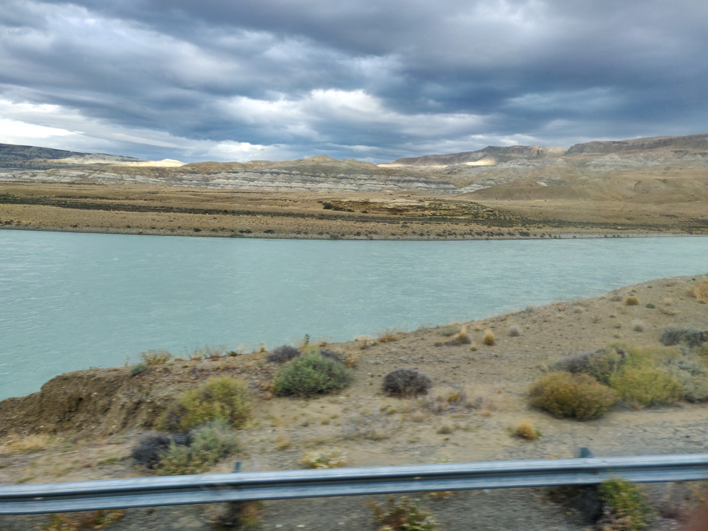
The blue/cloudy sky reflecting on the river
Check out those cloud reflections!
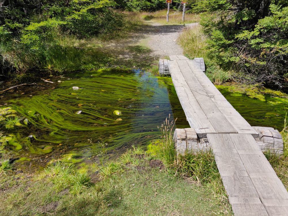
Streaks of algae in the river
Funky algae. Mike loved this. It’s so sculptural.

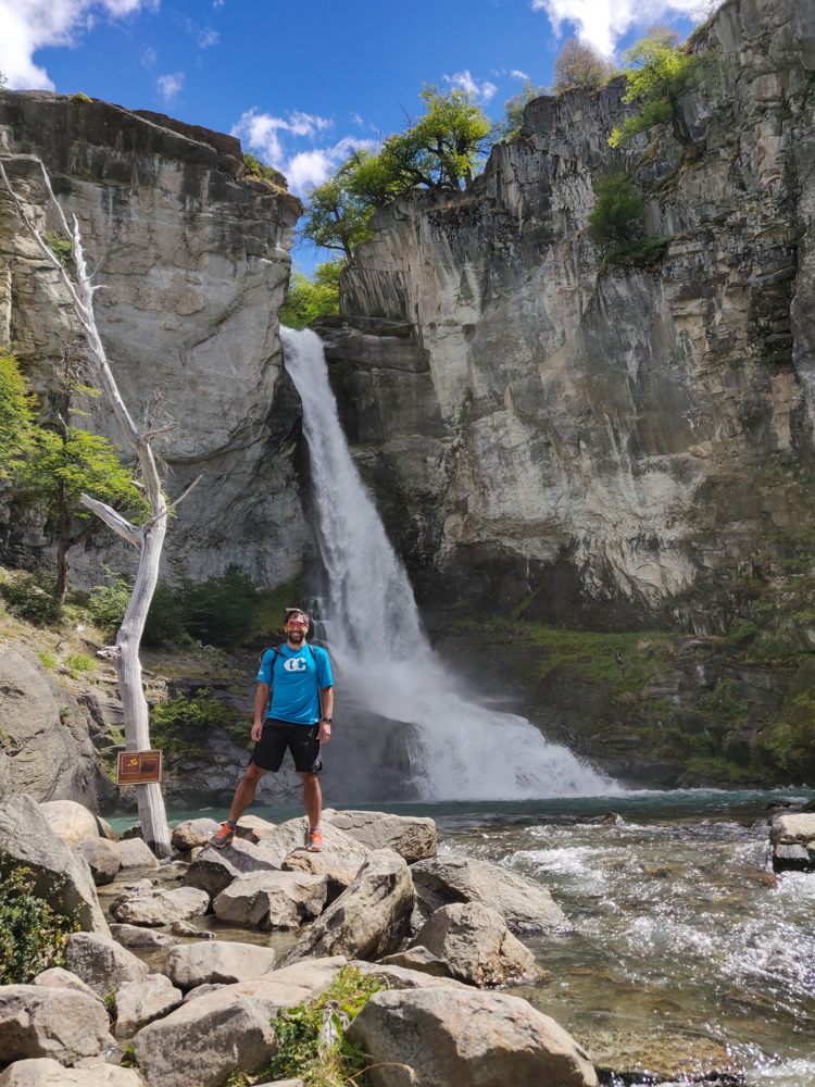
The waterfall was so pretty! Mike and I both admitted that we hadn’t been expecting much. It was definitely worth the seemingly endless walk to get there. We also showed up at the perfect time. Maybe we were right between tour buses? I don’t know, but it wasn’t terribly crowded when we arrived, and like 15 minutes later, it was completely swarmed with people (you can drive almost all the way to the waterfall, so I’m sure it’s a popular stop for tour buses).
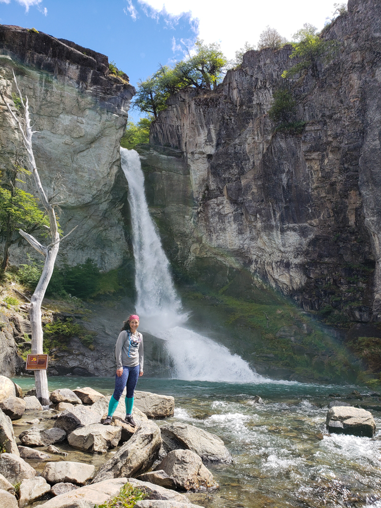
Me with the waterfall
Almost fell in on the way back from this spot, but I didn’t so that’s all that matters.
Mike with the waterfall
Mike made it there much more gracefully than I did.

Guess how far we hiked on our “easy” day. 10 miles. Ha! So much for that. I mean, it was definitely much more relaxed as far as intensity goes, but that’s still quite a distance for a day that was supposed to be easy! I was pooped by the time we made it back. I can’t even imagine how terrible I would have felt if we’d done the more intense hike! 8 hours? No, thank you!
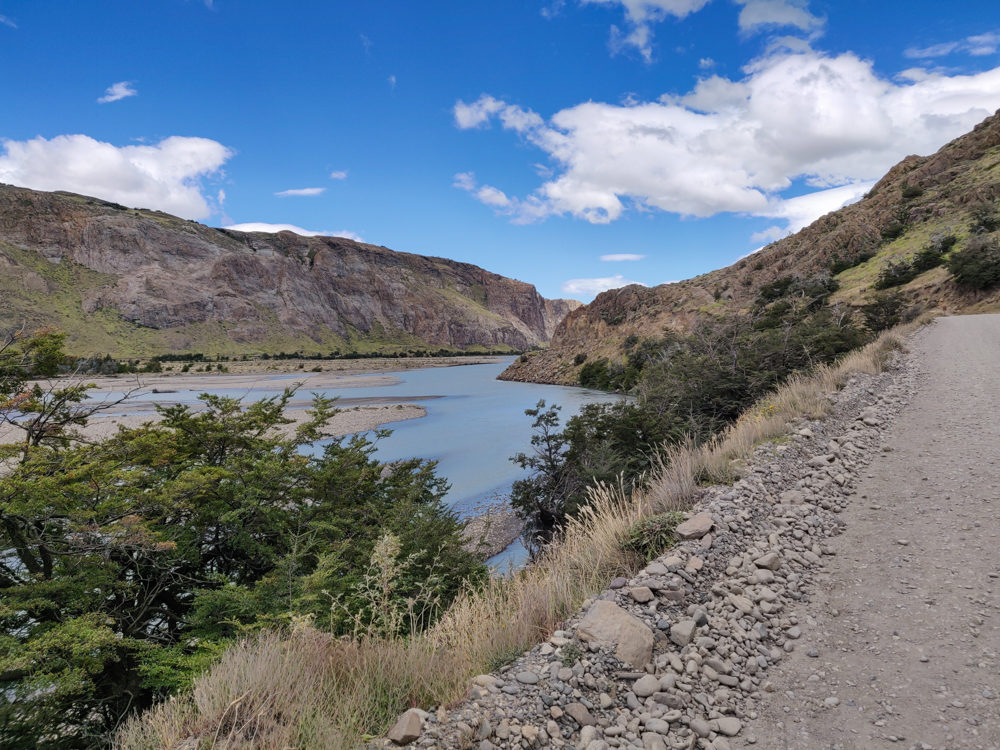
Pretty view of the river on our way back into town
Heading back to town

We still had some time to kill before our bus departure, so we obviously just sat on our butts at the hostel and watched time pass. I was so happy to have some time to sit down… yes, I know that we had a 2-hour bus ride ahead, but post-hike sprawling isn’t the same as bus sitting.
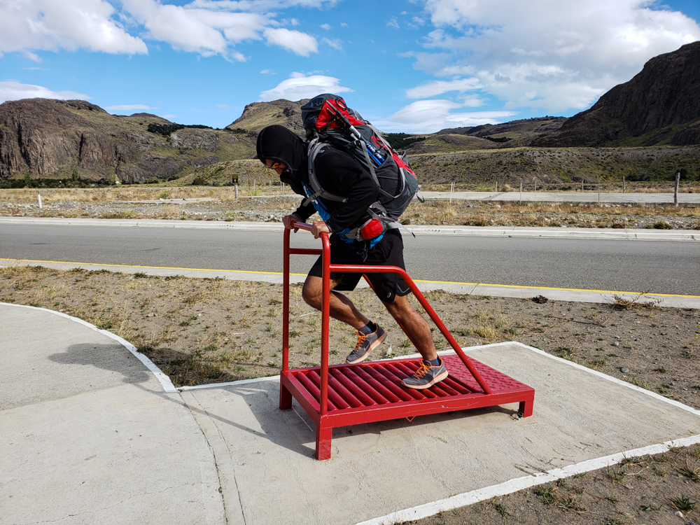
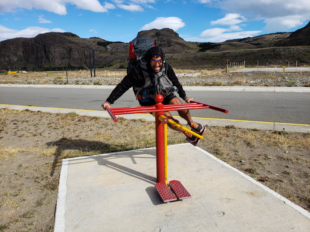
Mike on a roller treadmill
Mike got a kick out of this outdoor “gym”. Obviously he found it necessary to give the equipment a try. This treadmill looked like a greattt workout.
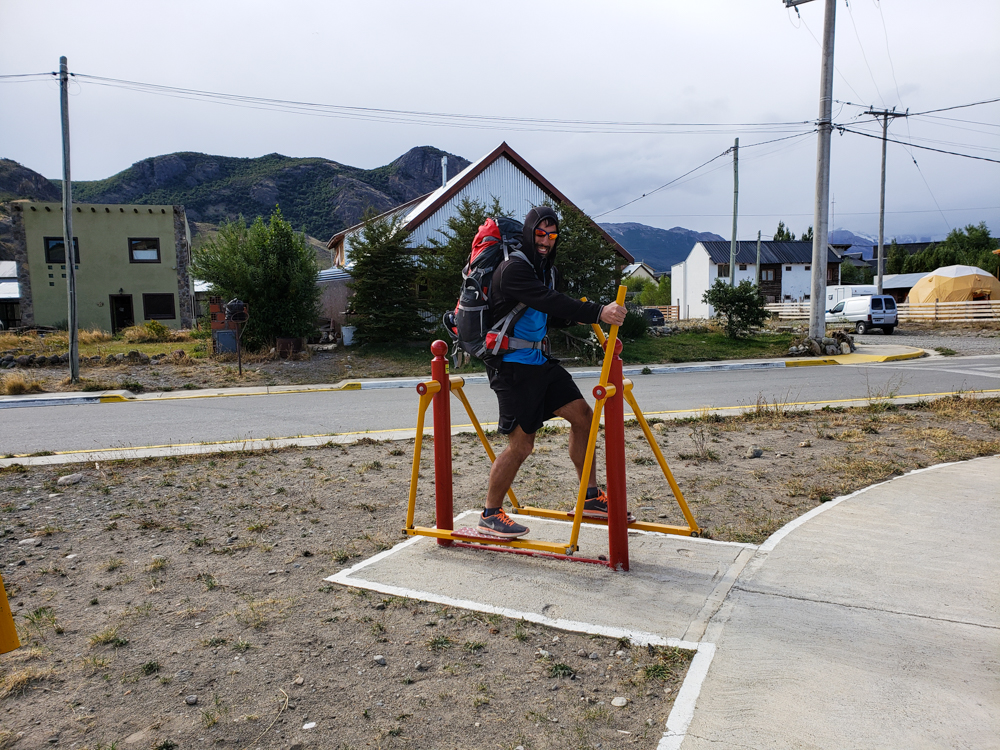
Mike on another "gym" contraption
Elliptical, anyone?
Mike on another mystery piece of exercise equipment
Literally no idea what this is.

The bus took us back to El Calafate for one more night before our flight to Buenos Aires. The scenery along the way was awesome! I know I said that about the ride to El Chaltén also, and that makes sense because it’s the same road… but I didn’t think anything looked familiar. Maybe I’m losing my mind. Maybe my memory is failing. Maybe I was sitting on the other side of the bus. Who knows? It was fab, though.
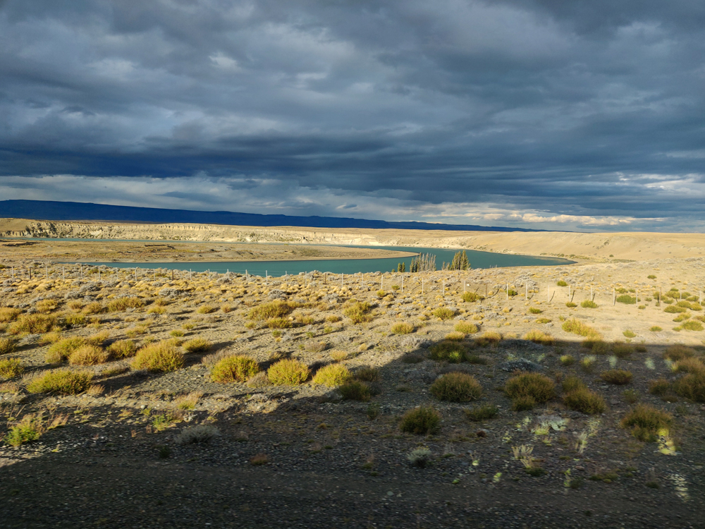
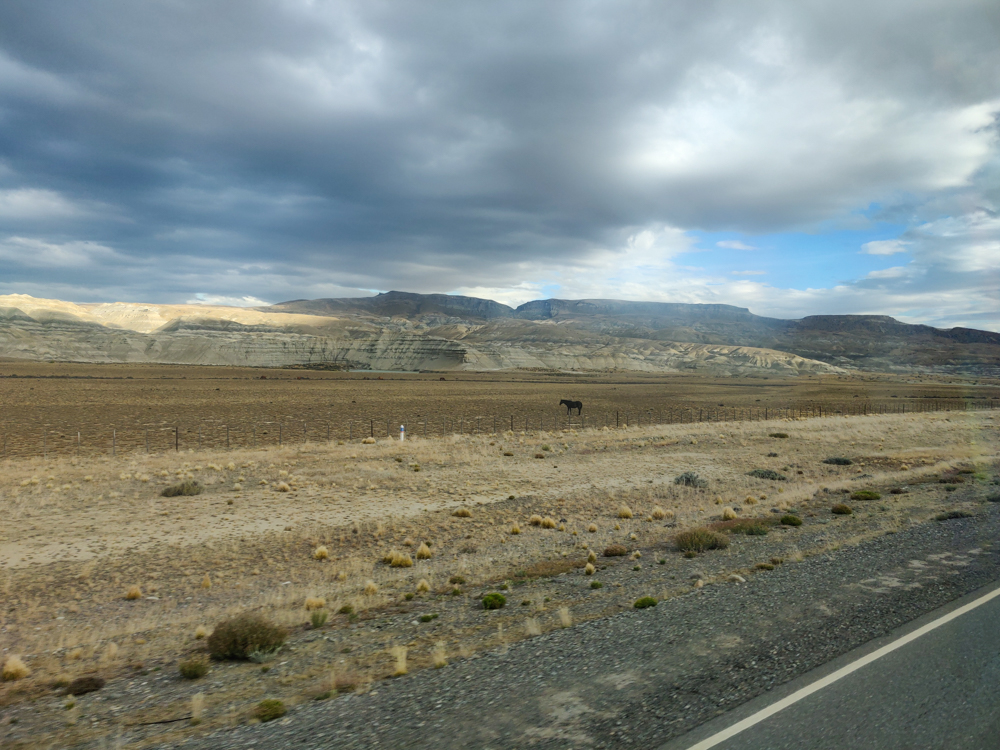
A lake and fields with ground plants
Along the drive back to El Calafate
Fields topped with menacing clouds
This picture kind of looks like a storm is looming, but I think part of that is smudges on the bus window.
Chalky blue lake along the drive
How did I miss this on the way drive into town??

All we had to do back in El Calafate was repack our bags for our flight the next morning. Of course, we took forever to do that and ended up going to bed WAY too late. Like past 1AM late. And we had an airport shuttle coming to get us at 5:30 in the morning. Do you see what I mean about us being self-saboteurs?

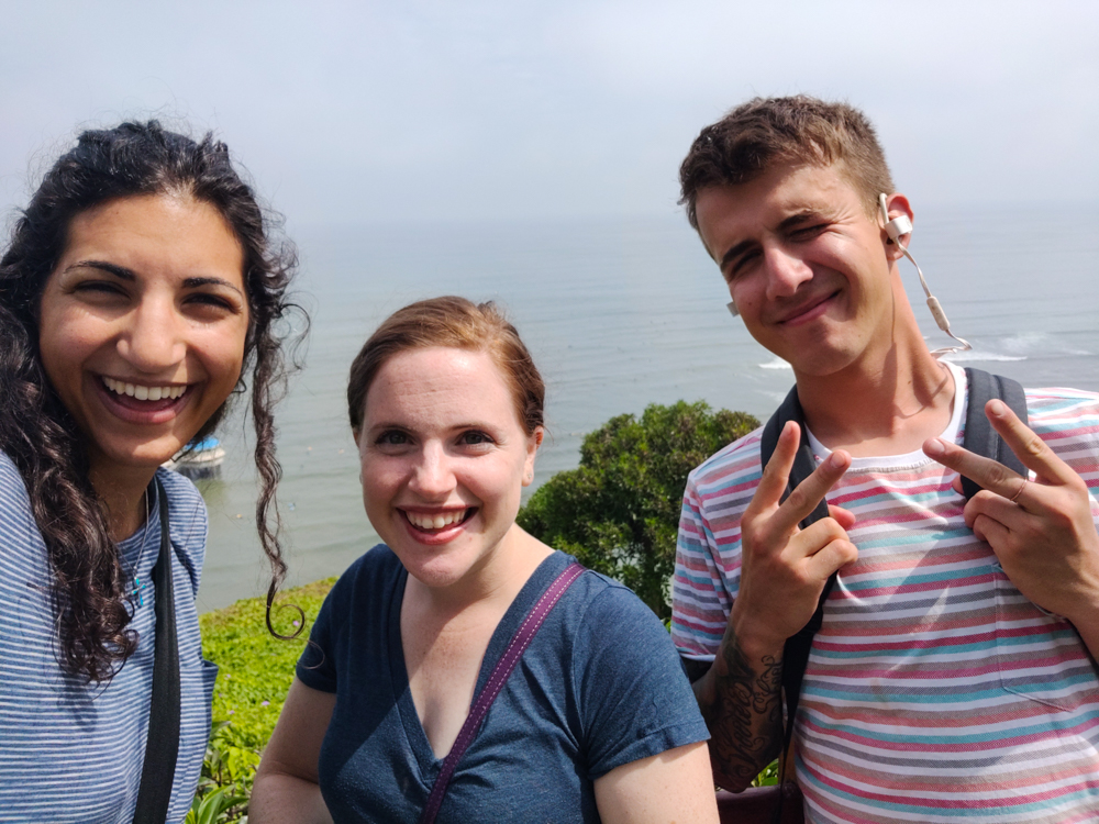
Selfie in front of the ocean

There’s a reason why I haven’t been posting every week. Well, there are two reasons, and they’re rooted in the same thing. First, I’ve been so busy that every moment not occupied by work is taken up by me trying to maintain my sanity (aka flopping on the couch and doing nothing productive). Second, work is essentially all that’s been happening, so there’s nothing exciting to report anyway. If you feel like my last three posts have been almost the same, you’re not wrong. Things are chaotic, I’m not sleeping enough, and I continue to hope that the light at the end of the tunnel will appear anyyyy second. I’m sure it’s just around this bend…

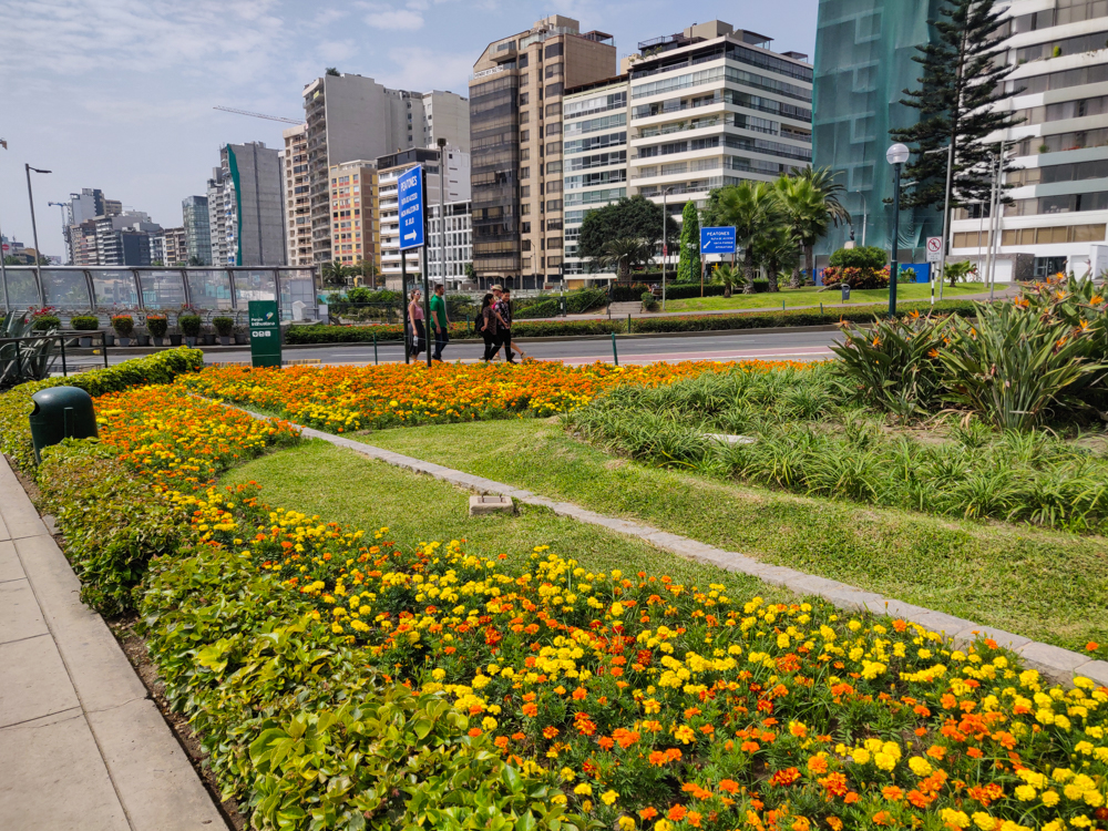
Yellow and orange flowers
Pretty flowers in Lima!
Selfie in front of the ocean
Me, Jocelyn, and Paul on a walk along the coast in Lima
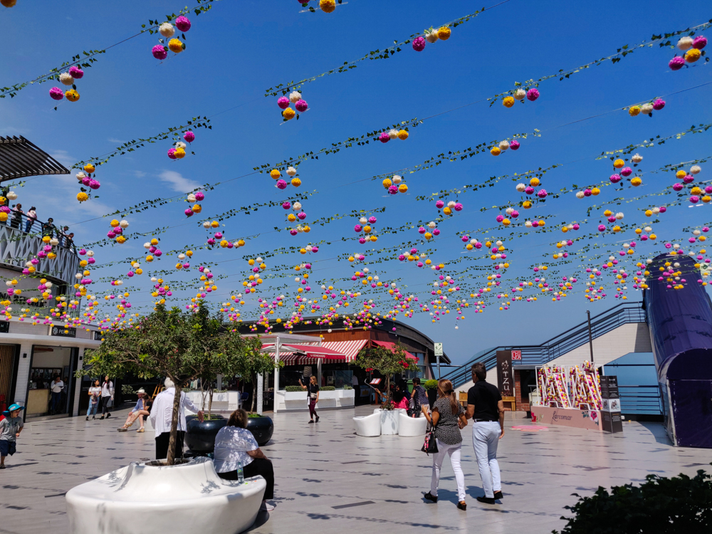
Flowers strung up across the sky at the mall
Decorations at the mall for Mother’s Day.

Remember when I said that construction was starting on May 13th? Well, make that May 15th. And this time, it’s actually going to happen. Really, it is! Are we ready? Hmm. I can say for sure that I’m not. I don’t know about Debbie. I still have things to finish figuring out in my designs. This whole “designing a building” thing is a lot of work!

Things are definitely coming together, though. Last week, Debbie and I went shopping for light fixtures! Up until then, I was making lighting designs with hypothetical fixtures and crossing my fingers hoping we’d be able to find something similar. If you think that sounds less than ideal, you’re right. I didn’t realize how much that was weighing on me until after our shopping trip when I finally felt like I had a grasp on things.

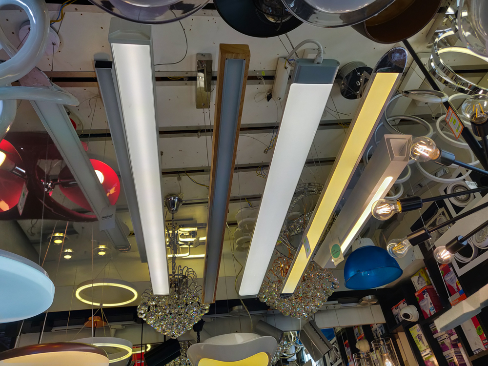
Light fixtures hanging from the ceiling
Most of the pictures I’ve taken over the last few weeks have been VERY exciting shots of light fixtures. This is from the lighting market where we went fixture hunting.

After our shopping trip, we met with the guy who is going to do the electrical work. He’s done work at EA before, and he’s also an engineer which means he can help to make sure that my designs make sense! Hooray! It’s VERY reassuring to know that my plans will have a second set of eyes checking over them. Even if I was fully confident in everything I’m doing (which I’m not), I would still want someone looking things over. People make mistakes! And it’s like anything else. When you’re staring at the same thing for so long, you get to the point where you don’t even really see it anymore. You look at whatever you’re working on at the moment and ignore the rest. Even though I walked out of our meeting with drawings covered in notes about things to fix or change or update, I felt like a huge weight had been lifted. Yes, I have work to do, but at least I know I’m headed in the right direction.

So, all in all, things are good. Crazy, but that’s to be expected. Construction starts on Wednesday, and our next church team comes on Tuesday… and then they’re here for a week and a half, and the next church team comes two days after. Like I said, no “light at the end of the tunnel” in sight yet, but I’m holding out hope that it’s coming soon.


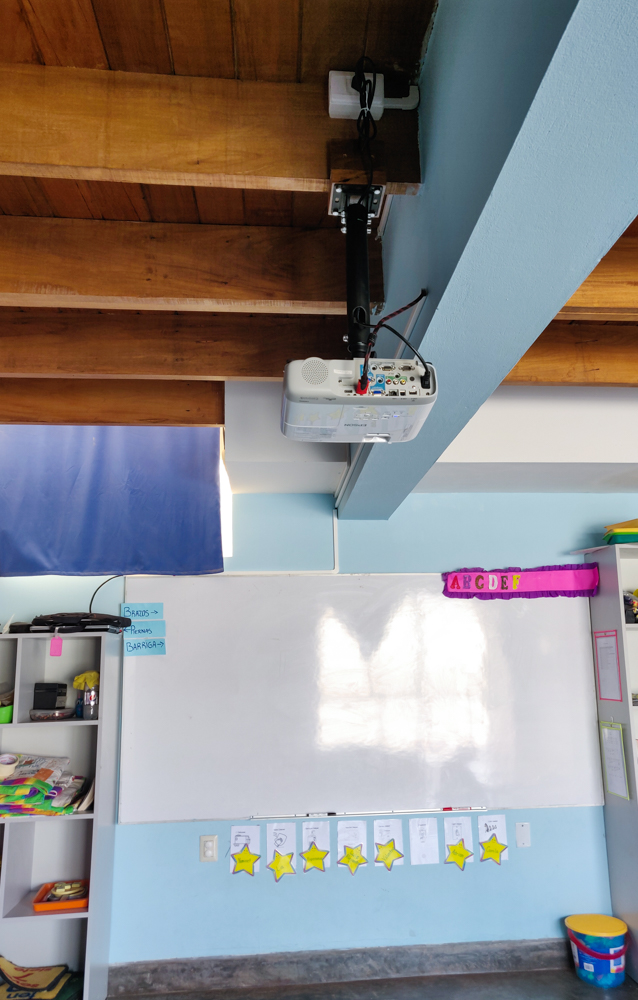
Jocelyn's classroom with her new projector
This job has been a long time in the making. I finally finished mounting the projector in Jocelyn’s classroom! We installed the outlet for it like 5 weeks ago when the team was here, and last week I got the wood ready for mounting to the beam. And now it’s finished! Fingers crossed it doesn’t fall from the ceiling. A nice, low-pressure job.

Our only full day in El Chaltén was dedicated to the hike to Laguna de los Tres. It’s the most popular hike in the area, is listed as “difficult”, and is supposed to take 8 hours, so we were prepared for all of the above. In our usual “let’s avoid the crowds” fashion, we aimed for an unrealistic early departure time (6:30AM) and left at a more reasonable early departure time (7AM) which is apparently still long before anyone else in town is even awake. Well, except for this one guy we met who said he hiked there for the sunrise, but he was a rare bird (we’ve been over this before, but who wants to hike for 4 HOURS in the dark??). Anyway, we were not in good company at 7AM. We were in nearly no company. Fine with me!

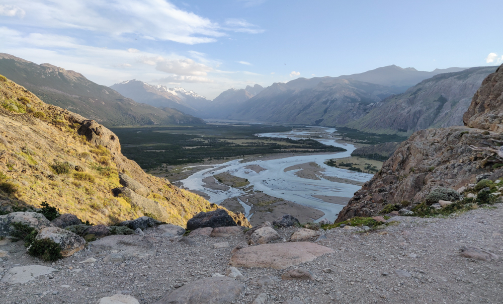
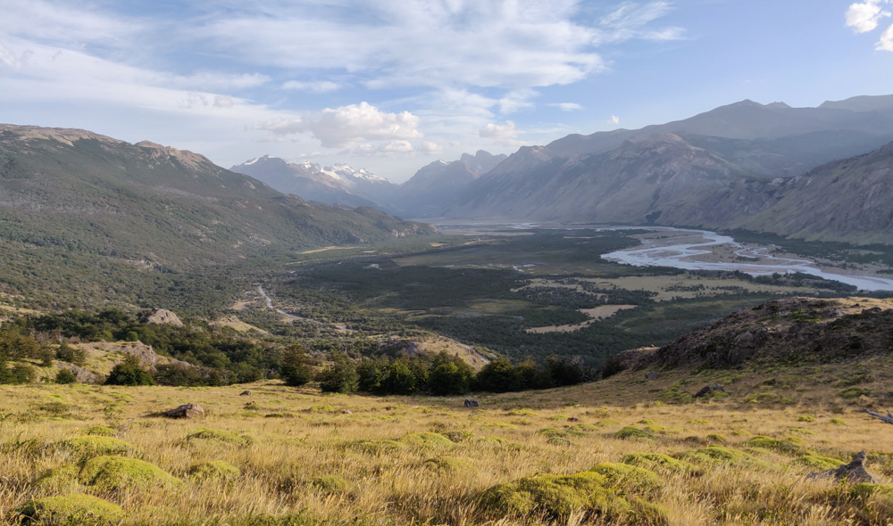
The valley on our way up
Sleepy valley

The general profile of the Laguna de los Tres hike felt pretty similar to Laguna Torre, the hike we did the day before, but slightly “more”. The beginning has a bunch of unshaded uphill with great views of the valley. When you feel like you might collapse, it turns flat, and trees start popping up!

The shadeless beginning of the trail
No. Shade. Also, see the little rock peeking up in the far background? That’s where we’re headed (though I didn’t know it at the time).
Slightly sunnier view of the valley
The world slowly waking up
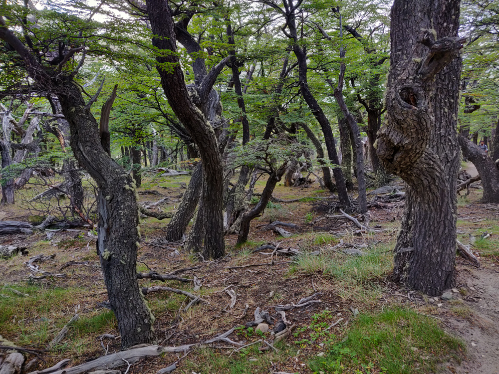
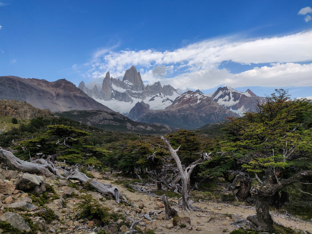
Gnarled forest along the way
Funky forest

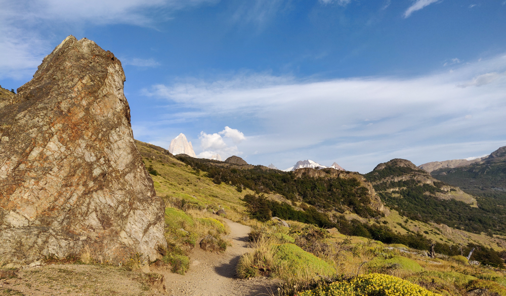
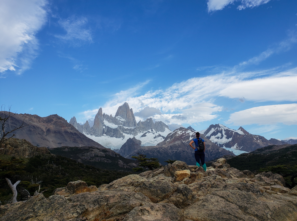
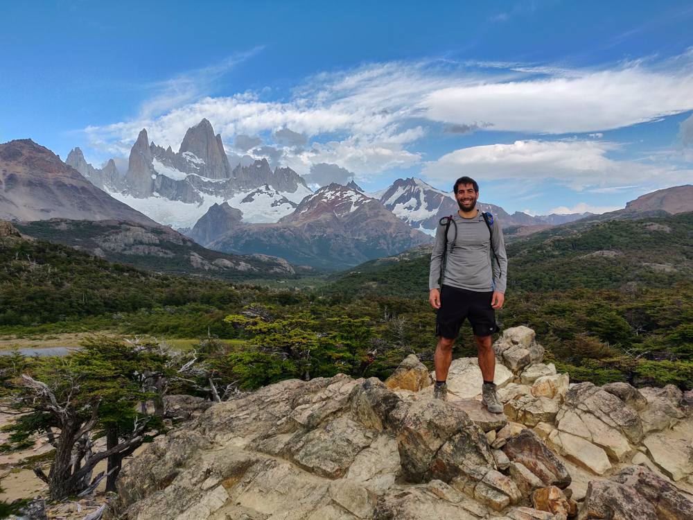
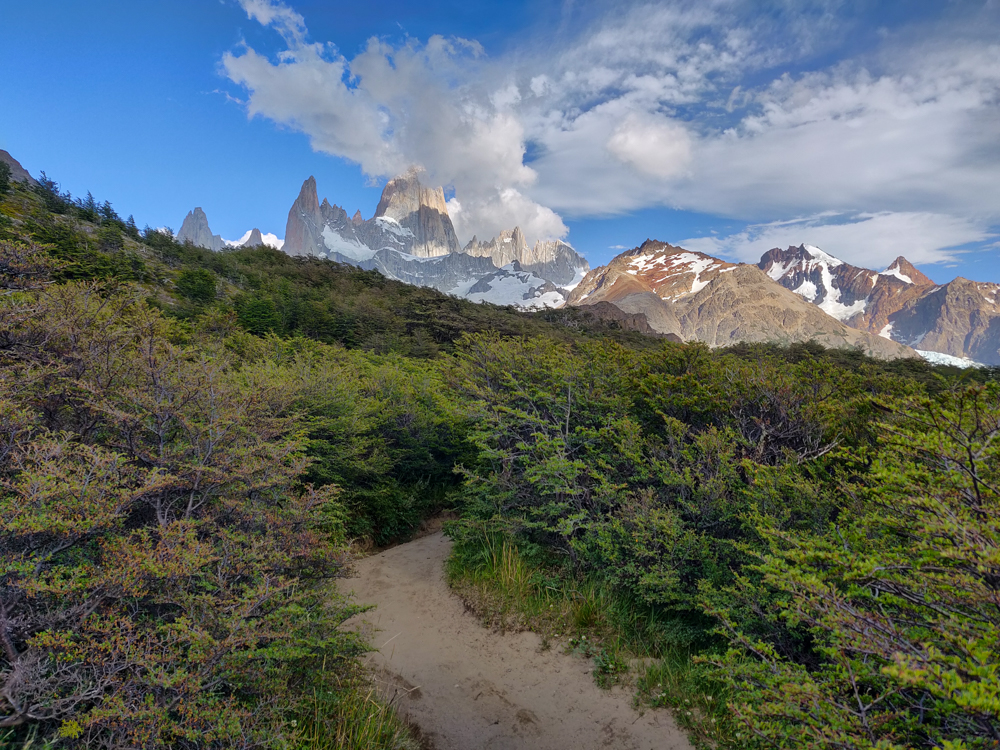
About an hour in, the trail forks, and we picked the path that goes to a viewpoint where we got our first glimpse of the mountains we were headed towards. It was breathtaking! And we were super lucky with the weather again, so the skies were clear and the views were completely unobstructed. Seeing the mountains was good motivation to keep going but was also like… “Wait, we’re walking ALL THE WAY THERE??”

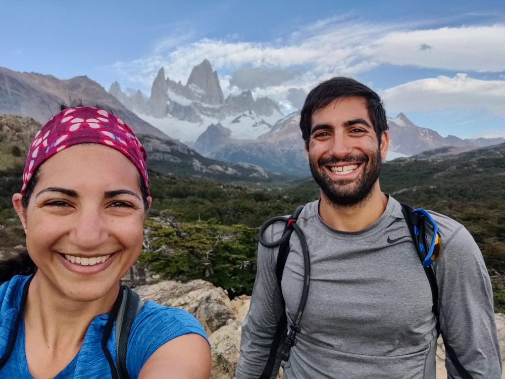
Me gazing at Fitz Roy from the viewpoint
First look at the mountains. Can you say WOW!?
Mike with Fitz Roy
This is where I start having the same-ish pictures over and over again because they’re all so darn beautiful.
Selfie with Fitz Roy
Brother-sister selfie!
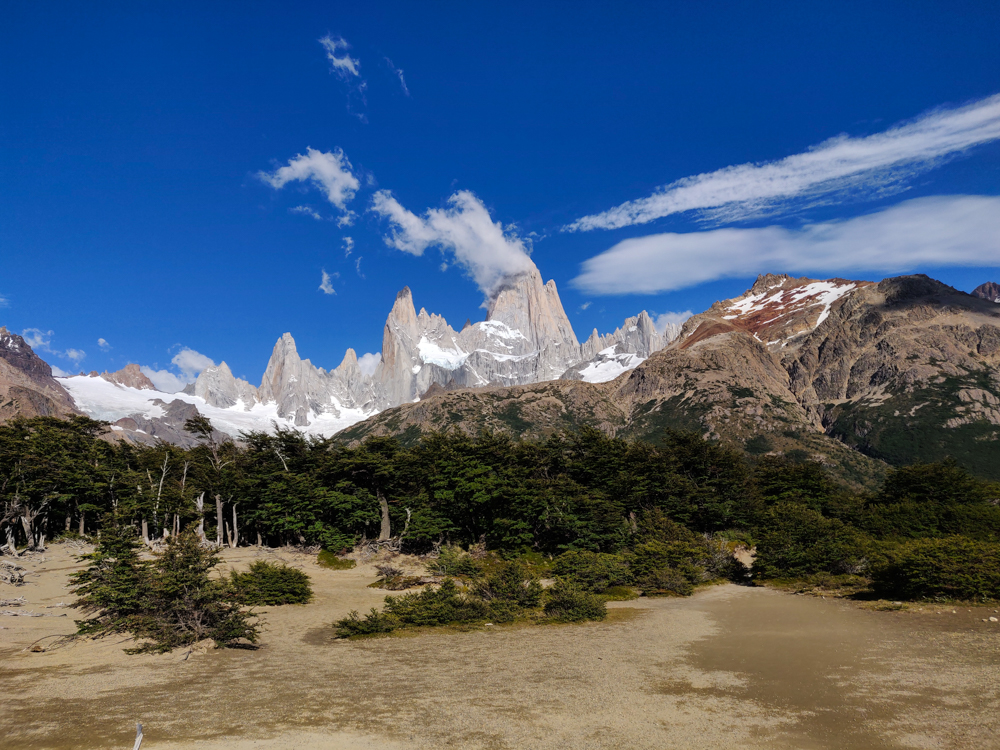
Fitz Roy and the rest of the mountains
Okay one more. Fitz Roy is the tallest peak in the middle, to the left is Poincenot, and to the right is Mermez.

From the viewpoint until the very last segment of the hike, the trail wasn’t bad at all. It’s basically flat… and then you get to the end, and there’s a sign that says the last kilometer is going to take an hour because it’s like 400m of elevation. And then it actually takes an hour. And it is SO steep. And long. And steep. It wasn’t the worst hike I’ve ever done, but it wasn’t exactly a walk in the park either (lol but technically it was a walk in the national park).

Fitz Roy with some cloud cover
Stay away, clouds!
Fitz Roy with some clouds trailing off the peak
It’s like a little smokestack. Getting closer…

The good news was that we were there early, so there weren’t a lot of people coming down. That part of the trail is only really wide enough for one person at a time, and it would have made things much worse if we had to keep moving aside to let people pass. And, probably most importantly, the sun still wasn’t too hot because of course there was zero shade from that point on.

The one thing that was far from ideal was the wind. It was crazy! Most of the way was shielded from by the mountains, but the final stretch was completely exposed. I know I’ve said this before, but I meant it then and I mean it now… I was not confident that I was safe from blowing away. At the very least, there was a very real possibility of blowing over, and it was so steep that blowing over would probably also mean rolling down the mountain. I stopped multiple times and just dug in because I wasn’t confident that I could land my foot where I wanted.

Green valley
100% chance that I took this picture as an excuse to stop hiking for a second. We came across that river on the left side and through the green patch above it.
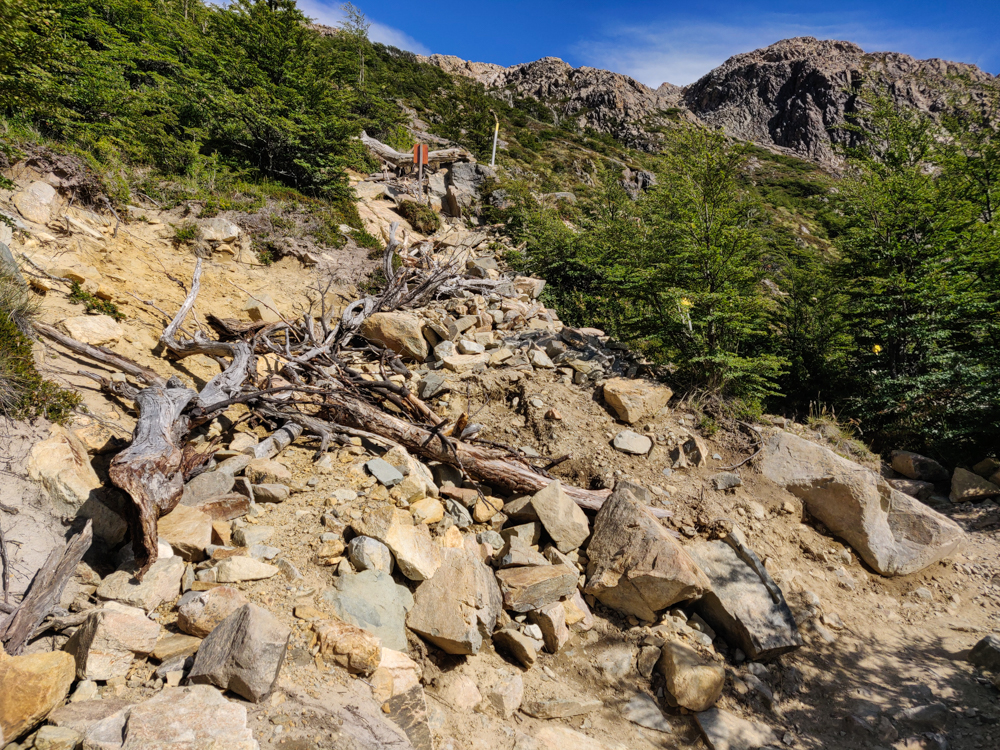
Rock and wood-covered trail
The way up…
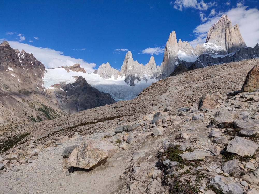
The rock peaks just over a ridge
Almost there almost there almost there!

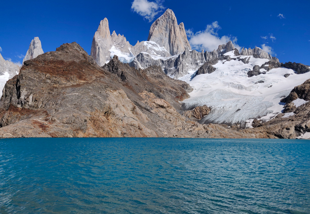
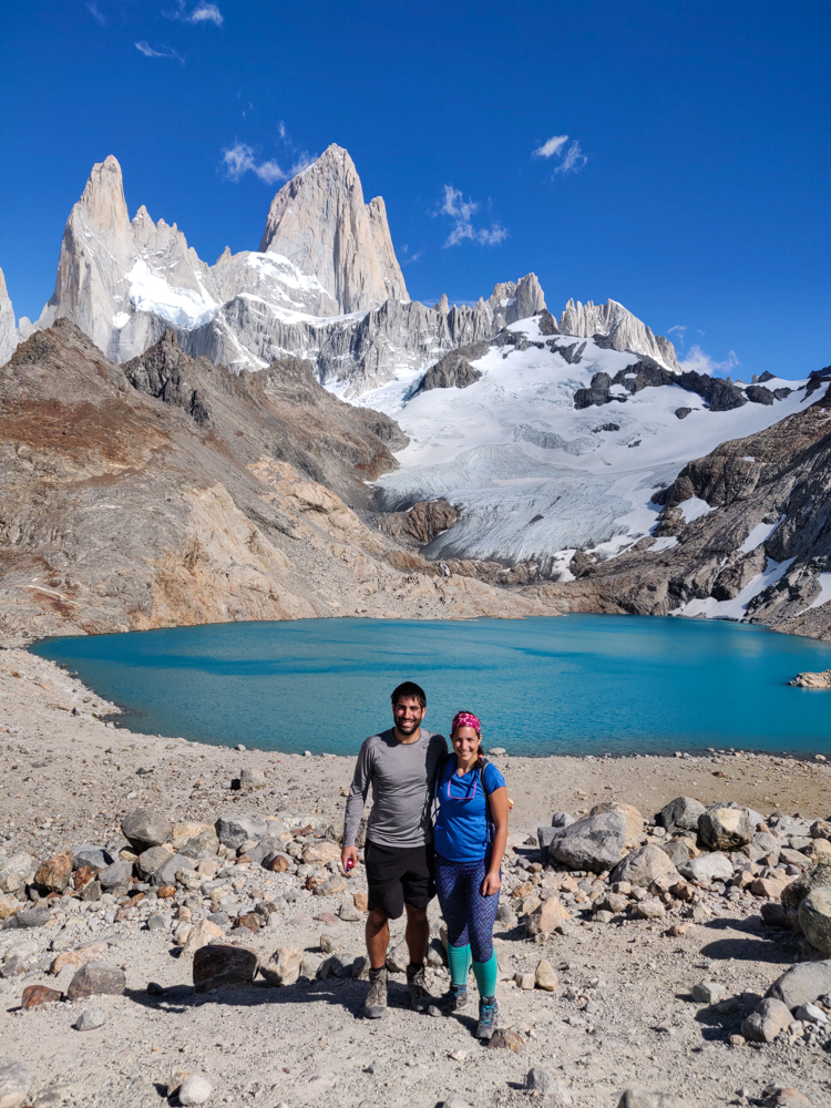
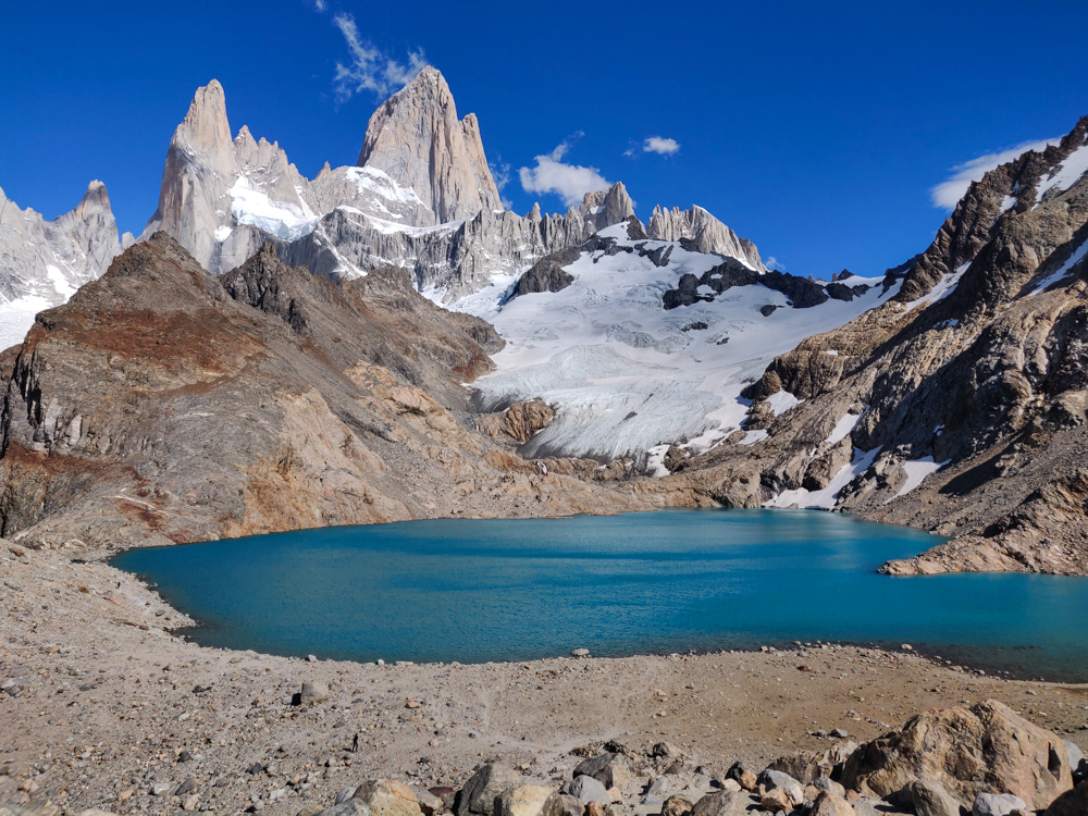
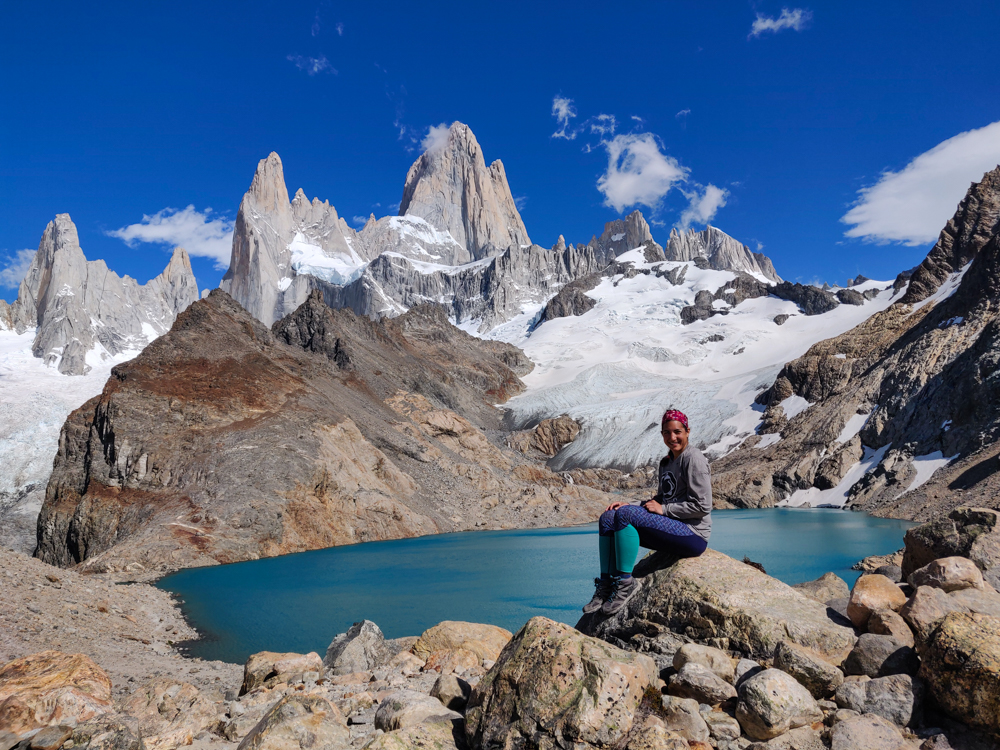
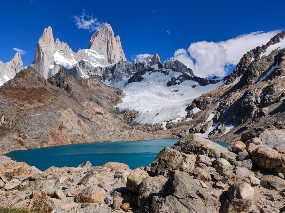
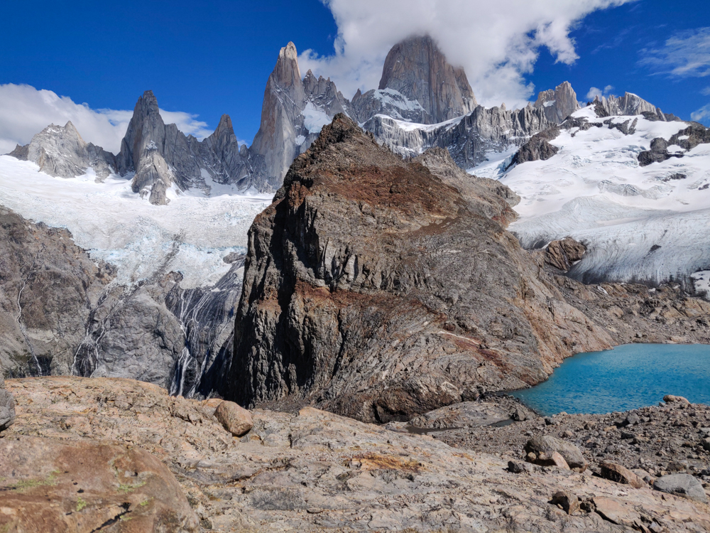
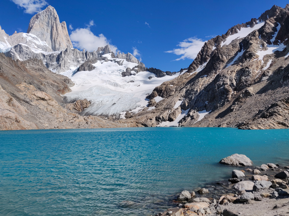
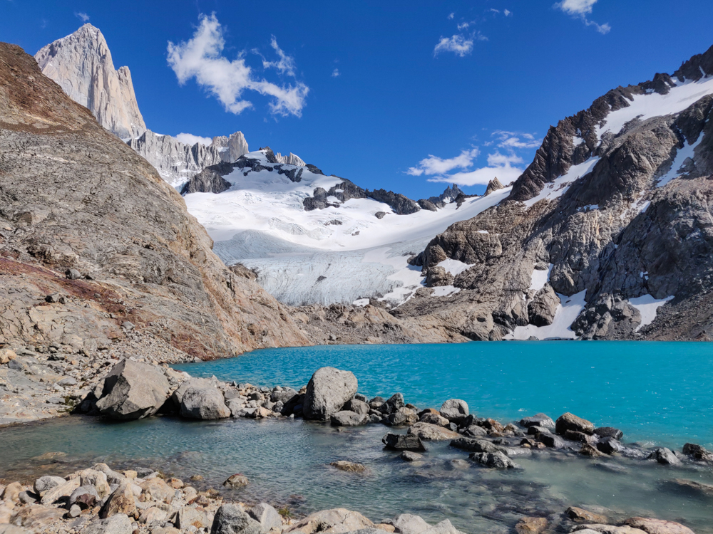
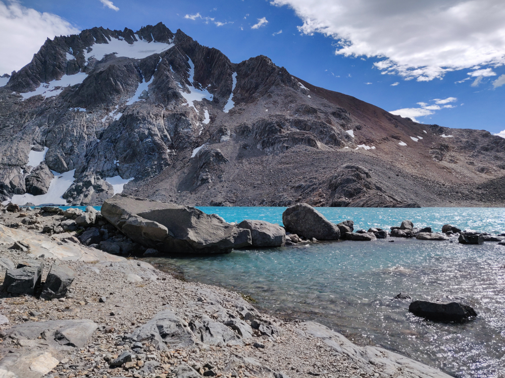
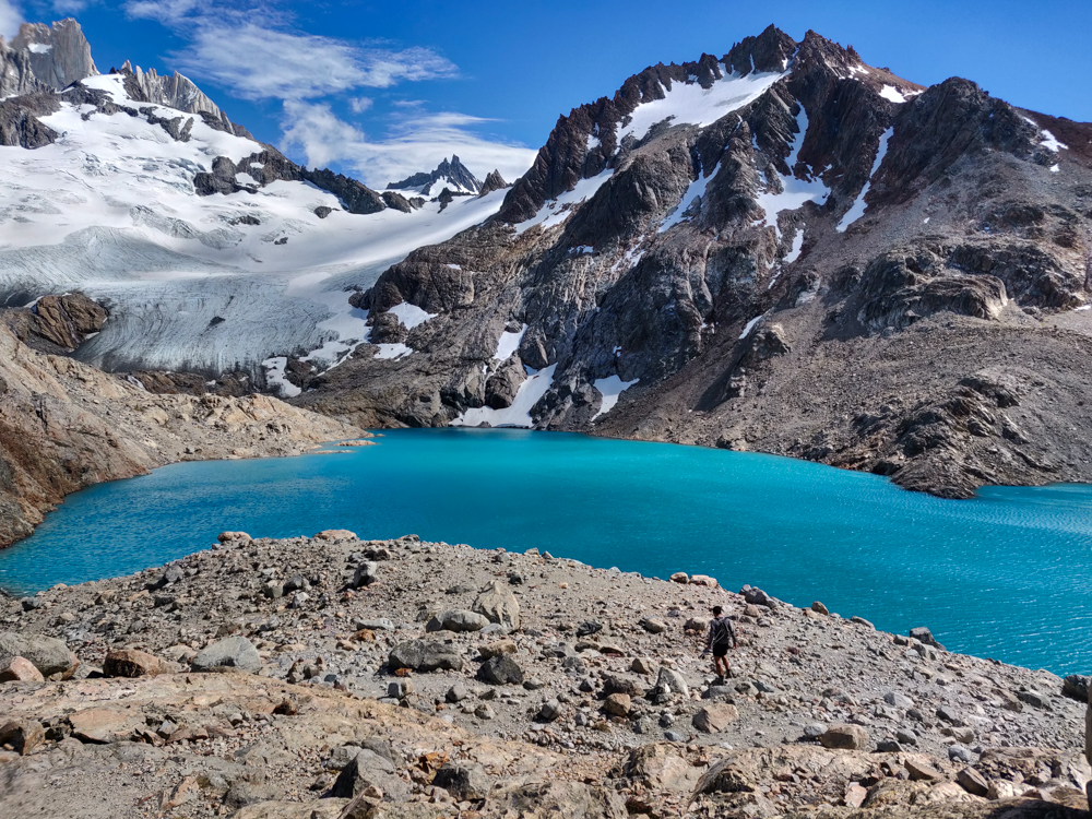
Then, I got to the top (Mike was already there), and the struggle was all but forgotten. The mountains you’ve been looking at all day are RIGHT THERE, with their jagged peaks and snowy slopes. The lake below them is the bluest blue you’ve ever seen. (After the brownish Laguna Torre from the day before, it looked especially blue.) There weren’t many people there, and it felt like we were part of an exclusive group lucky enough to experience the magic. Like what the heck is this world we live in??? Who would expect a lake like that, tucked up in the mountains? It’s not even fair for places like that to exist in the world. You blink and blink again and then one more time just to be sure… and it’s still there. And it’s still incredible. And even though it’s clearly real considering you’re standing there looking at it with your own eyes, you think they must be messing with you. How is this place real??? And the weather! I can’t talk enough about the weather. There was one little cloud near the peaks when we first arrived and then it cleared away completely.
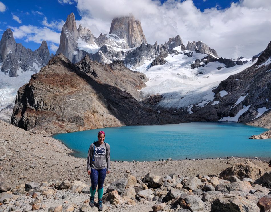
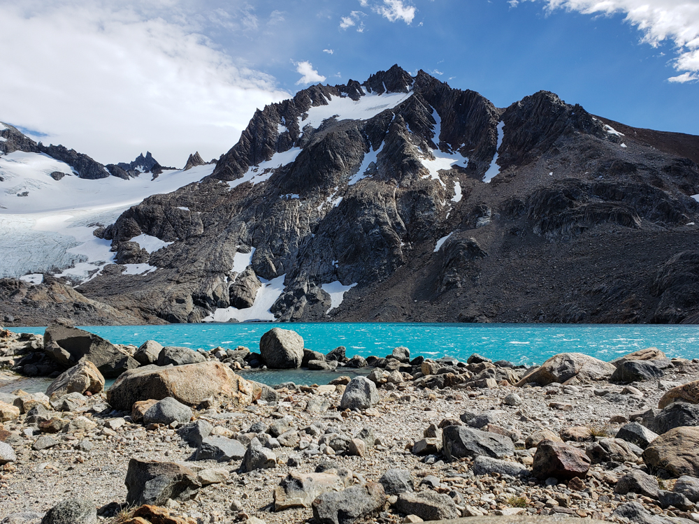
Mike and me with the lake
We made it!
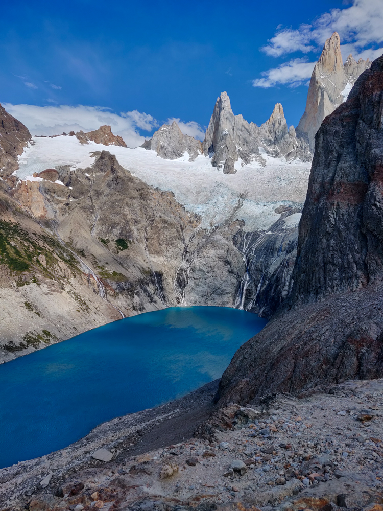
Laguna de los Tres
Okay, sorry in advance but like… I took a LOT of pictures, and I only picked a few… But there are still so many because they’re just too pretty! And also basically all the same, but can you blame me?
Me with the lake
Okay now glamour shots
Same pic without me
Okay now get out of the picture, Lara!

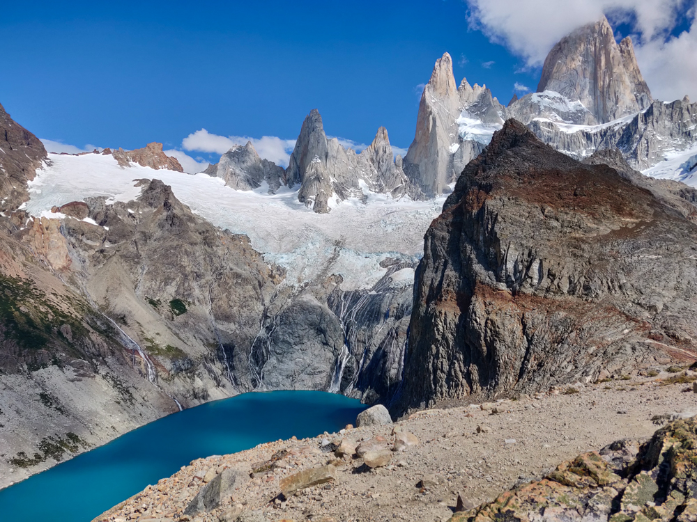
We walked down to the lake and then around the edge until we could see another lake right next to Laguna de los Tres, Laguna Sucia. That must be one of those Iceland/Greenland naming things (they named the green land Iceland and the icy land Greenland so that people would leave the green land alone) because “Laguna Sucia” means “dirty lagoon”, and that name couldn’t possibly be less suited.

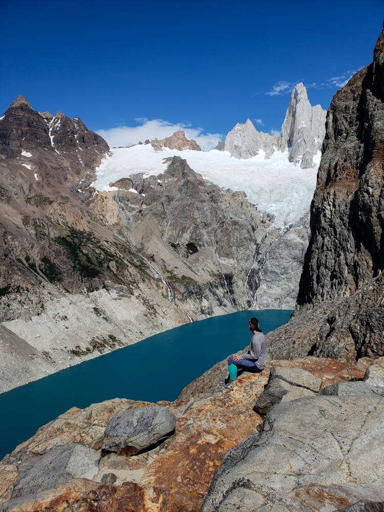
Me on a rock looking down at Laguna Sucia far below
Laguna Sucia
Laguna Sucia from above
What dirty water, right?

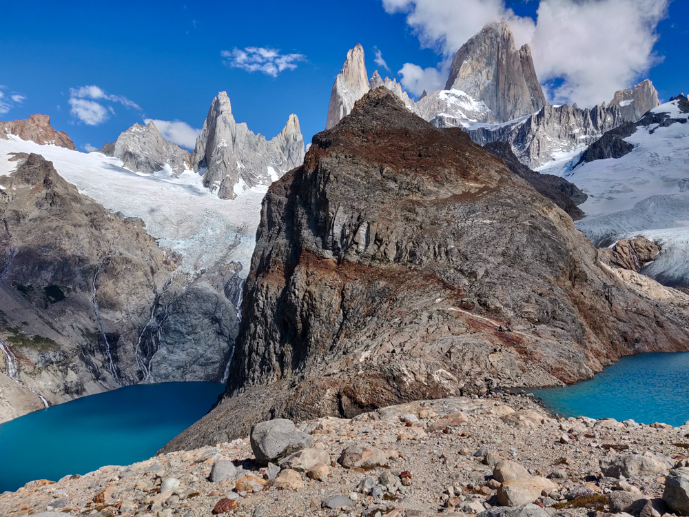
While the two lakes are, basically, right next to each other, it’s super weird because Laguna Sucia is like 100m lower in elevation (that’s a pure Lara estimate though, so take it with a grain of salt because my estimates can absolutely not be trusted). There are waterfalls coming out of the top lake that turn into rivers flowing past the lower lake. So strange.

Laguna Sucia and Laguna de los Tres above
This was my best attempt at getting both lakes in the same picture so that you can see the elevation difference between them. How weird is this??
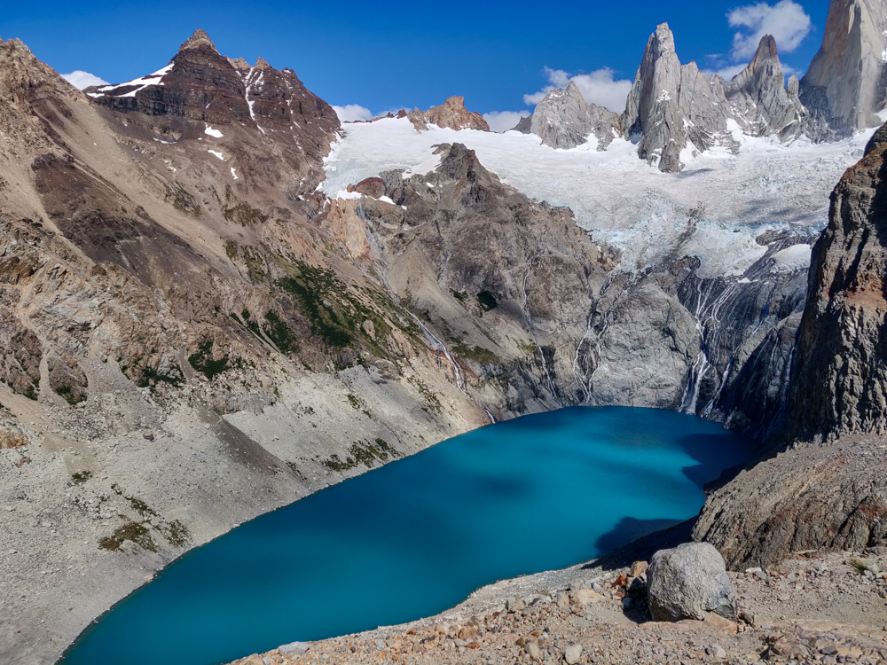
The blue waters of Laguna Sucia
Someone please explain to me how this lake got the name “dirty lagoon”. The glacier that feeds the lake is at the far end of the picture, Glaciar Rio Blanco (white river).
Laguna Sucia and its awesome surroundings
How is this place real?
Laguna de los Tres and the drop-off to Laguna Sucia
Laguna Sucia is to the left, where it looks like the world just ends.
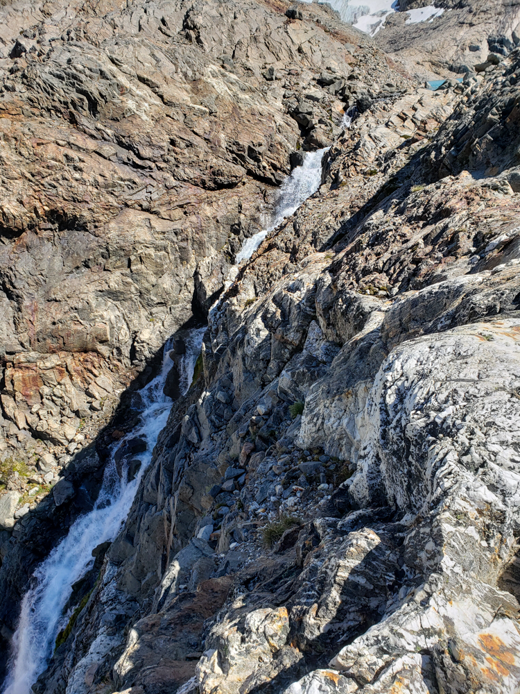
The waterfall between Laguna de los Tres and Laguna Sucia

We admired the lakes for a while until Mike said he was getting cold from the wind (he was in shorts and a t-shirt. I had long pants and a jacket). Then, we hiked up this little mountain nearby to get one more view of the two lakes before heading back down. Already, we could see that the crowds were getting bigger (aka they actually existed), and clouds were starting to gather around the mountain peaks!

We also eavesdropped on this tour group whose guide was explaining how people rock climb Mount Fitz Roy, the tallest peak. After doing the hike that we just did, they walk around the lake, strap on crampons, and hike up the ice. Probably they will stay the night on the ice, so he pointed out a good place to set up your ice cave for sleeping. The next morning, they walk the rest of the way up the ice, partly having to ice climb until finally there’s just rock. They’ll switch into their rock-climbing shoes from there and take one of the routes that have been defined over the years, basically all named for the origin country/state of the people who first completed it. And after all that, they have to go allll the way back down. Geez. People are crazy!

The water. The mountains. No clouds. HOW did we get so lucky???
The lake. The mountains. Again.
I can’t handle this. Also, that’s the ice patch you have to climb up to get to the peak.
Another lake pic
No words, mostly because I already used them up on the infinity other pictures.
The lake. AGAIN.
THE WATER. I’m still not over it.
The valley
View from the top while trying not to blow away
Laguna de los Tres and a little Mike
Spot the Mike, running away from the wind.
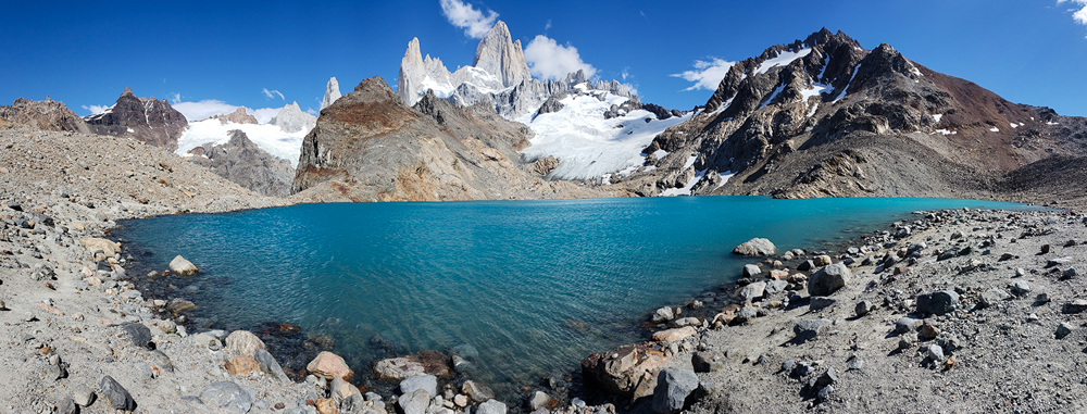
Pano of the lake and surrounding mountains
Pano by Mike from the edge of the lake. AHHH so pretty!!
Me with the lake
This was hurriedly taken in a split-second of calm when the wind stopped blowing because I looked like a marshmallow in the other pics with my shirt all filled with air. Also, look at how the peak is already starting to gather clouds.
Super aqua waters of Laguna de los Tres
LAST ONE I PROMISE.

Mike had big dreams for the rest of our hiking excursion. After we hiked down from the lake, he wanted to explore these two other offshoots of the trail. One was to see another glacier, Piedra Blanca. We walked until we had a good view (we decided there was no need to go all the way to the viewpoint when we could see it just fine already) and then turned around and walked back to the main trail.

Piedra Blanca
The glacier Piedra Blanca is peeking out between the mountains

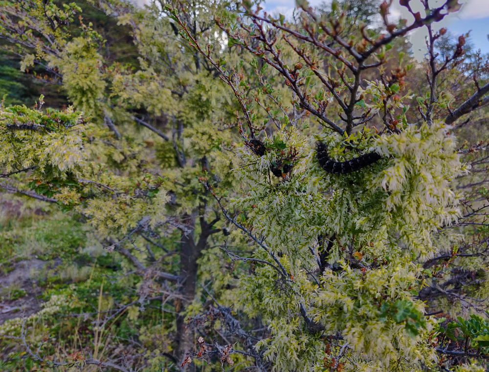
On that path, there were SO many caterpillars. Earlier in the day and the day before, we noticed that there was a weirdly large quantity of caterpillars on the trail, and we tried to avoid stepping on them. On this trail, there was no avoiding them. It seemed like they might have been an invasive species because there were WAY too many. Besides being all over the path, they were also EVERYWHERE in the branches of the tree and bushes. It got a little creepy once you noticed all of the places where they were lurking.


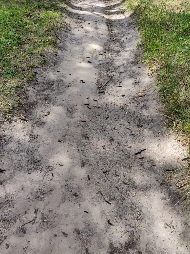
Trail littered with caterpillars
Spot the caterpillars! (It’s not hard.)
Creepy bush-lurking caterpillars
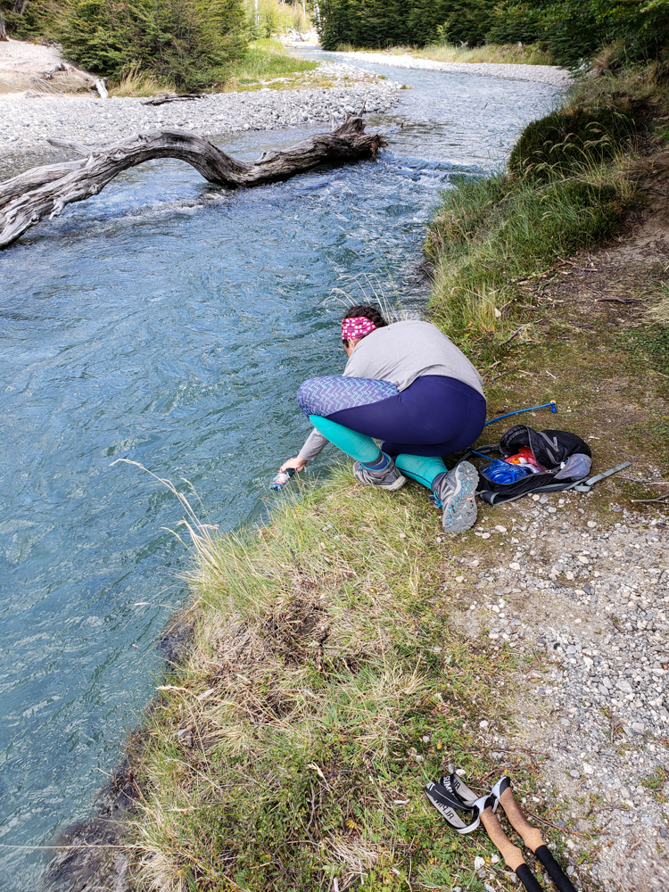
Me refilling my water bottle from the river
Water break! Drinking from streams never gets less awesome to me.

There was one more offshoot that Mike wanted to check out, and I had decided that I was fine with doing whatever he wanted to do (my feet were feeling surprisingly okay). We got about 6 steps down the path before he decided that the weather seemed questionable, so we should head back. Also fine with me! We still had like 3 hours of hiking ahead. The skies had been getting cloudier and cloudier from the moment we left the lake, and by the time we decided to head back, you could see almost nothing of Fitz Roy! Thank goodness we went early! I’m sure the lake is still beautiful even with cloudy mountains, but if you have the chance to see them all together, there’s no question that clear weather is the best way to see it.

The valley with two lakes
The two lakes in the distance to the right are Laguna Madre and Laguna Hija. They’re along the second side trail Mike wanted to explore
Fitz Roy blocked out by clouds
Looking back towards Fitz Roy… So. Many. Clouds!

On the way back, we went the other way at the fork and walked by another lake, Laguna Capri. I wasn’t expecting to walk right along the shore! I imagined that we would be up high above it. It was a cool surprise. We didn’t stick around for too long, though, because I think we both just wanted to get back at that point.

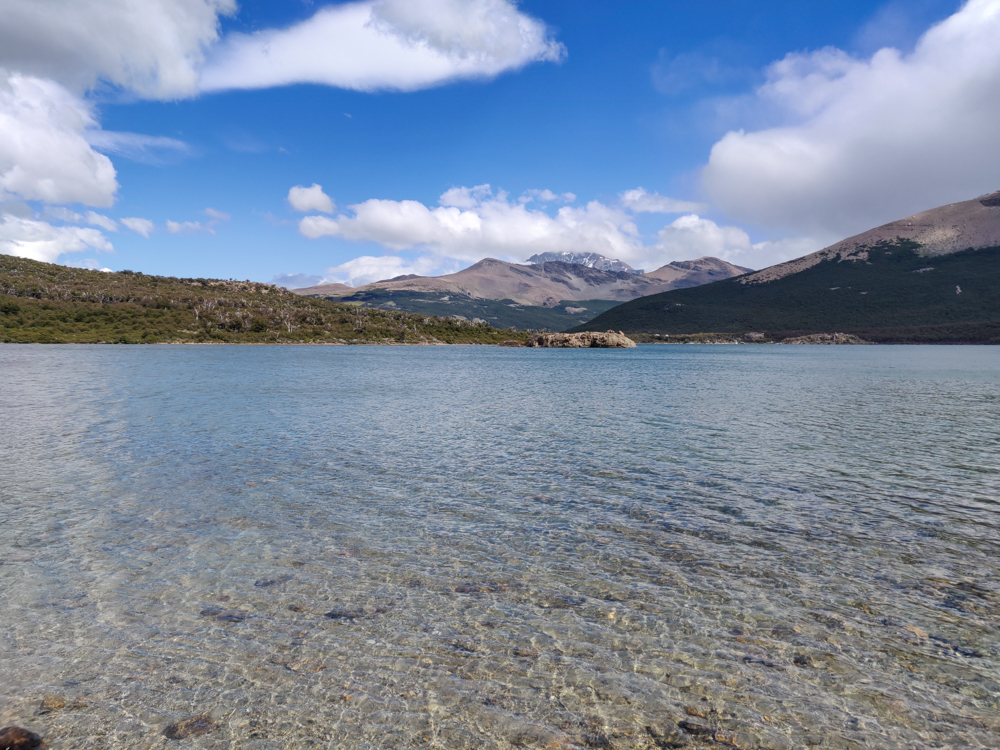
The clear waters of Laguna Capri
I wouldn’t mind going for a swim in there!
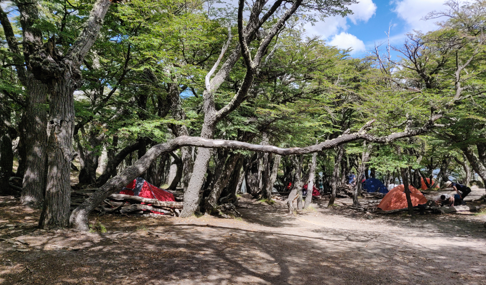
Campsite in the woods
One of the campsites along the way
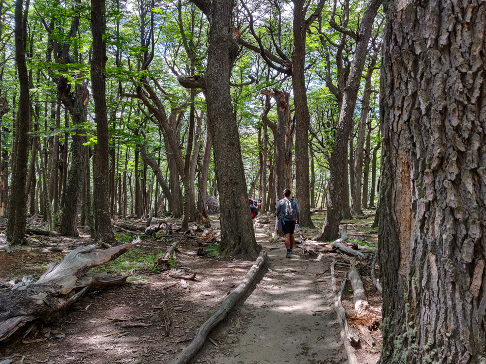
Trail through the forest
Nothing better than a hike through a forest! Also, on the way in, there was a sign warning you about the high winds in the area and saying that if they’re really bad, you should avoid standing under a tree. Can someone explain to me where we should be standing in this FOREST to avoid the trees?

Back at the hostel, I think I sat on the ground and “stretched” for about 2 hours before I felt like I wanted to move again. We hung out with some of our new hostel friends, ate our usual ravioli dinner feast, and went to sleep at the usual “way later than planned”. At least we could sleep in the next day, for once!

Me and Mike with the glacier in the background

Our stay in El Calafate was especially short the second time around. We arrived at about 10:30PM, went to sleep at 3:30AM because we apparently love to self-sabotage, and caught a bus to El Chaltén at 8AM. The morning started off extra rough. Any morning after 4 hours of sleep is not going to be pleasant, but we also got a surprise at 7:30 when the lady from the hostel told us that she was confused when she said that the bus would come to pick us up, and we actually had to be at the bus station at 8. EEEEEE!

Thankfully, we were going back to the same hostel in a few days, and they let us leave some of the things we didn’t need (like our tent) which meant packing was infinitely easier. We ran around like maniacs trying to pull ourselves together and were out around 7:45… and we then powerwalked to the bus station because I do NOT like to cut those things close.

We made it there a few minutes before 8, and then the bus also left a little late. Buses always seem to run a few minutes behind schedule until the one time when you need a cushion… and then they leave exactly on time.

The bus ride was uneventful: the scenery was beautiful, Mike slept the whole time, some obnoxious person played music without using headphones. The usual. When we arrived in El Chaltén, the bus went straight to the ranger station so that we could get an introduction to the park and the hikes.

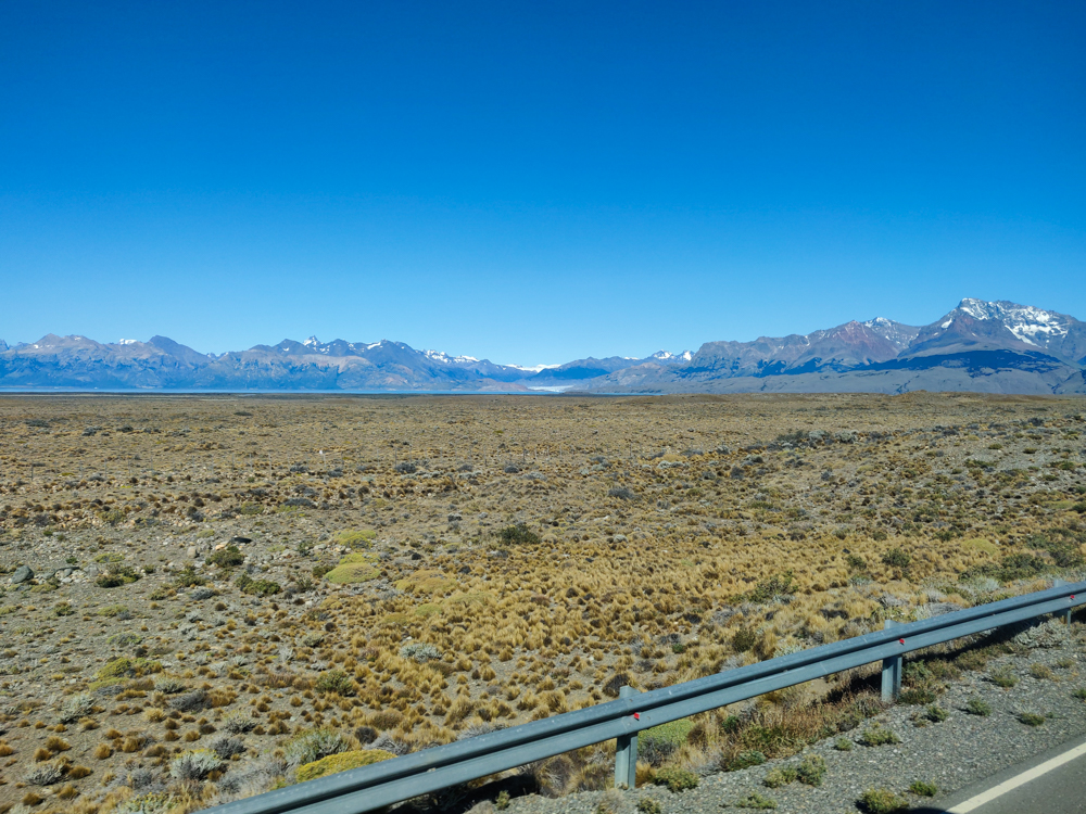
Flat landscape with mountains in the distance
The road to El Chalten

El Chaltén is a village in the northern part of Parque Nacional Los Glaciares, the same park that we visited on our first day when we trekked on Perito Moreno Glacier. The town is inside the park. This is super weird to me because we don’t have people living in national parks in the States. I found myself frequently confused by the “national park” concept during our trip. Like there are portions of some parks that are privately owned. In Torres del Paine in Chile, some portions of the actual W Trek are on private land, some of the campsites are privately owned, etc. You literally can’t do the trek without crossing between private and national land. Very confusing while you’re hiking and get to a sign that says, “Welcome to Torres del Paine National Park,” and you didn’t think you’d ever left.

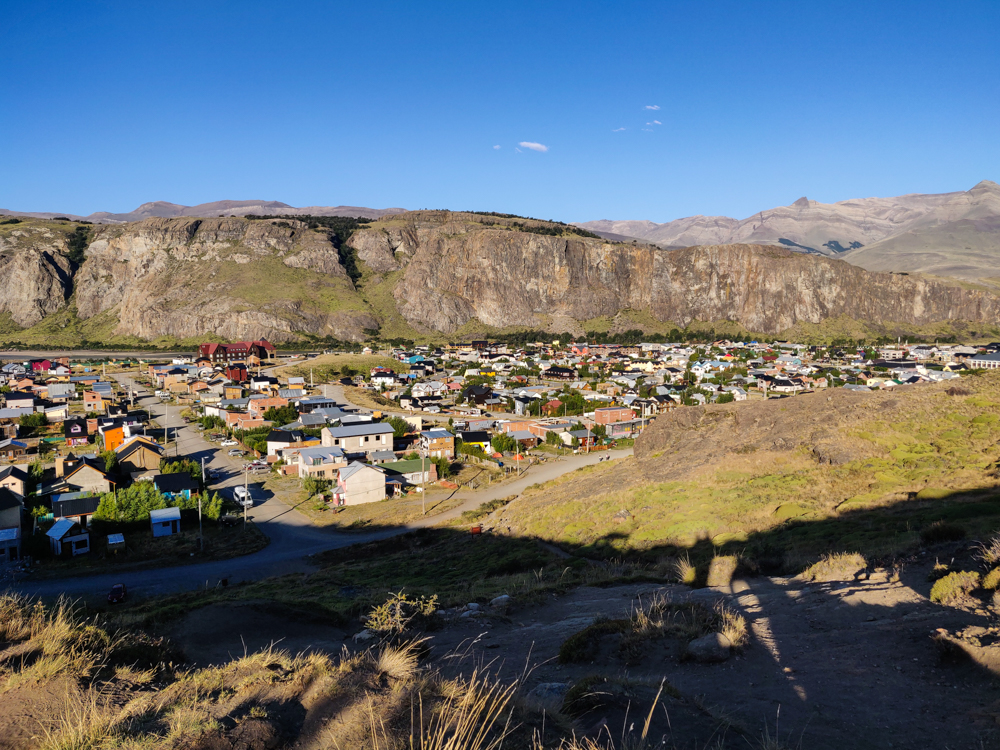
View of El Chalten from above
El Chaltén

I did some research before we went and thought it would be a good idea for us to take it easy on our first day considering we were coming off of four long days of trekking. There are some short hikes around town, so I had those on the schedule for the first day and had the two major long hikes on the following two.

At the ranger station, the guy who did our orientation said that the weather was really nice, so it would be a good idea to go on a hike in the afternoon if possible because no one knows what weather tomorrow will bring. I said, “We’re doing that already!” Mike said, “We should go on a longer hike just in case.” Ugh. So much for a rest day. His plan was to do the “short” 6-hour hike on the first day, the most popular 8-hour hike on the second day, and this one that’s literally 4 hours up and then 4 hours down on the way back on the last day. He’s a loon. He told me that I could skip the last day if I wanted to rest, but who rests on the LAST day of a hiking trip? That defeats the whole purpose of a rest day!


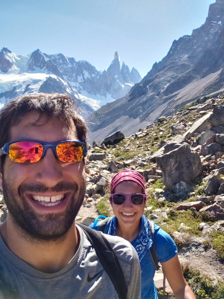
Mike and me along the way
Trail selfie!
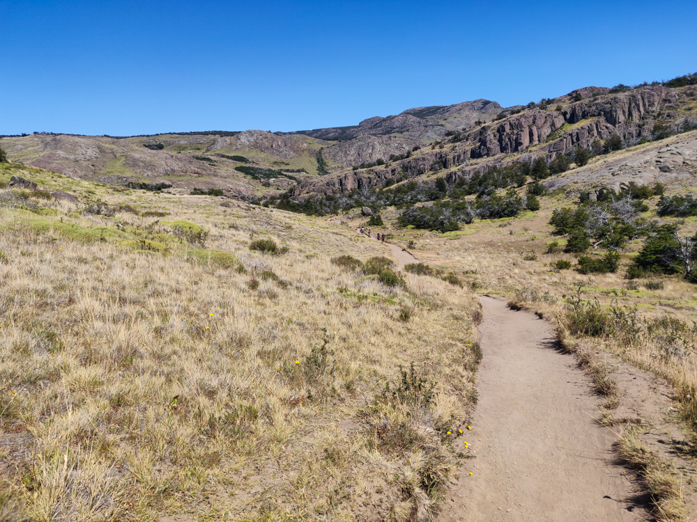
The trail with blue, clear skies
Okay, so the weather was pretty perfect…

So, Mike decided that we should do the Laguna Torre hike because the trailhead was literally across the street from our hostel, and it was ONLY 6 hours, unlike the other two hikes he wanted to do. By the time we checked in and got settled and ready to go, it was about 1:15PM aka the hottest part of the day and definitely the ideal time to start a 6-hour hike (sarcasm, in case you didn’t catch that).

The hike itself really wasn’t that bad, but my feet were still killing me, and it was HOT. Even the woman who checked us in at the hostel said that it was abnormally hot, and she was ready for it to cool down again. Yeah, same. The beginning of the hike had some uphill that wasn’t too bad… except for the fact that there was no shade. I learned my lesson after the unfortunate arm-burn incident of the Torres del Paine trek day 3 and covered myself in sunscreen. Mike seems to think he’s superhuman and is fine with a little sunscreen on his face and nothing more. What is it that they say about doctors being the worst patients? I believe it.

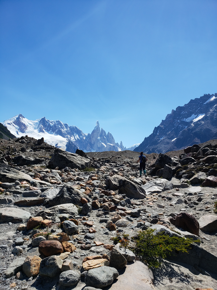
Me climbing up a rocky hill
Almost at the lake… just a few more steps! Up, up, and up! (That’s me. Hi, Lara!)
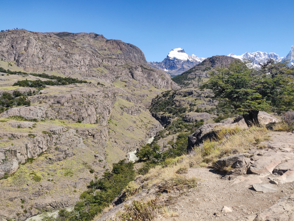
A gorge along the trail
I make the “gorge”ous joke literally every time I come across a gorge, so here it is again. Ain’t this just GORGEOUS?
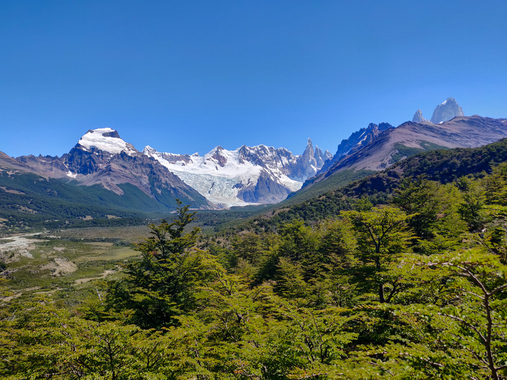
Green landscape with mountains and a glacier in the distance
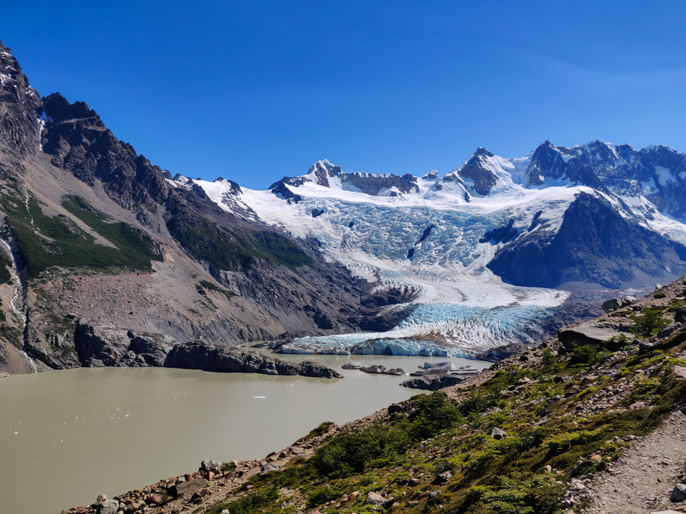
First glimpse of the glacier!

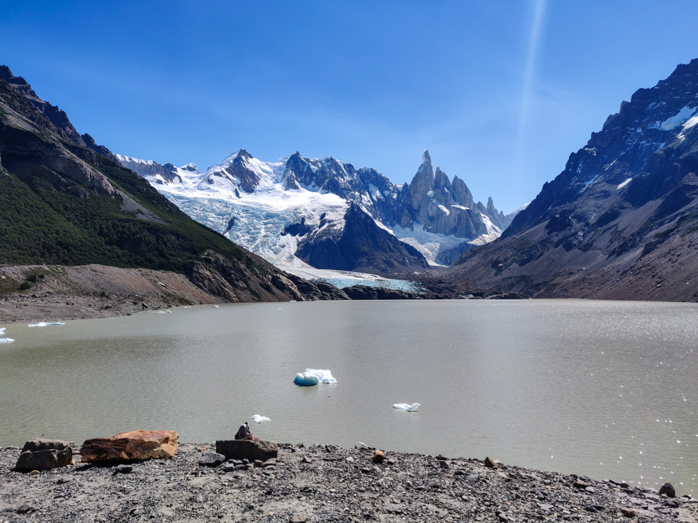
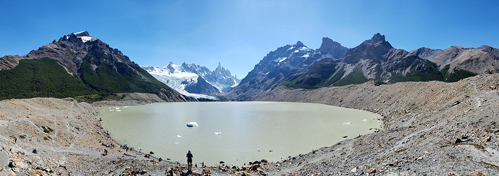
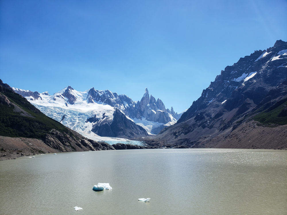
After the start, it got much flatter and much shadier for the entire middle stretch of the hike. That was a welcome break! And then, after a tiny uphill, we made it to the lake! Laguna Torre, with its breathtaking waters the color of very milked-down coffee. Yeah, it was kind of gross looking. If that was the main attraction of the hike, I would have said, “NOPE not worth it.” But, you’re really there for the glacier at the far end of the lake.

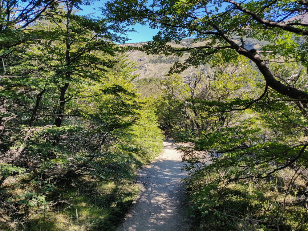
Tree-shaded trail
There’s nothing better than a tree-covered path
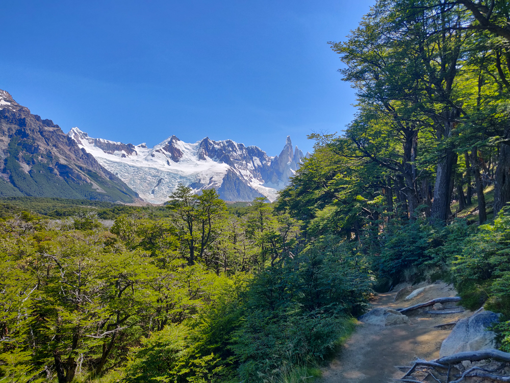
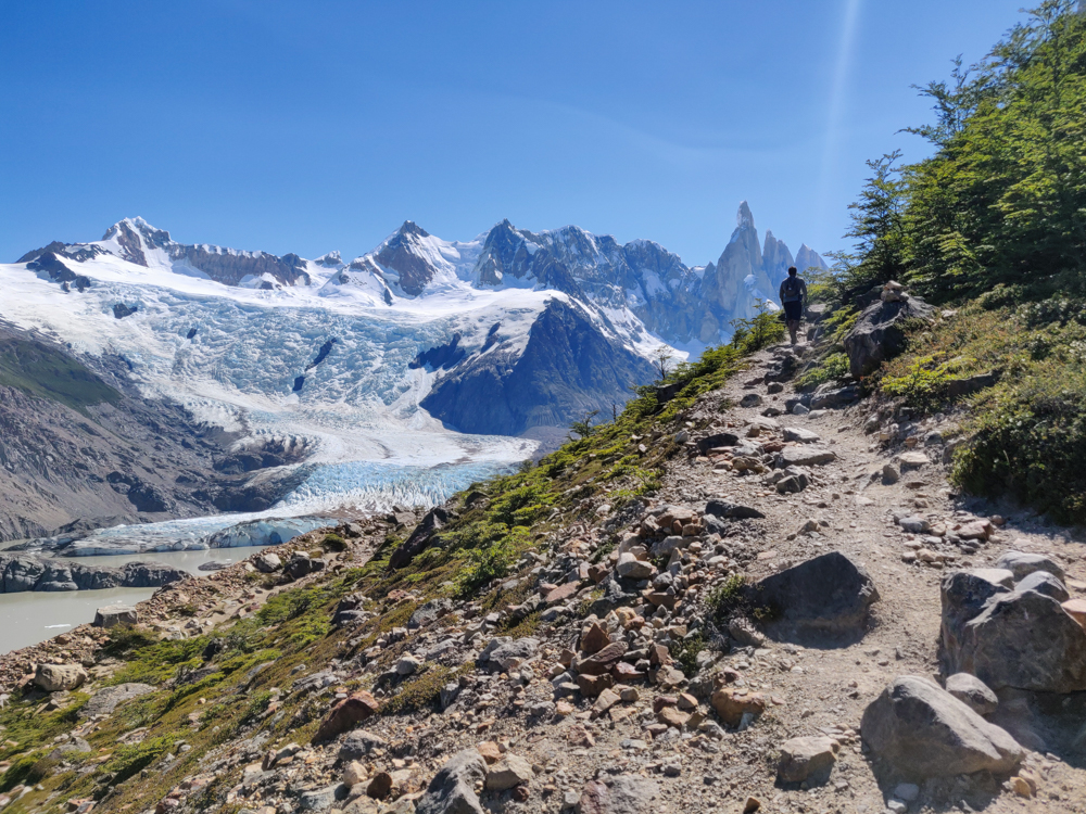
Glacier in the distance with a nice, shaded trail in the foreground
We were definitely thankful for that shade along the trail!
The brown, murky lake
Check out that crystal clear water… yum…
Panoramic picture of the lake and surrounding mountains
It’s still pretty awesome, though.
Laguna Torre with the glacier in the background
Spot the glacier!

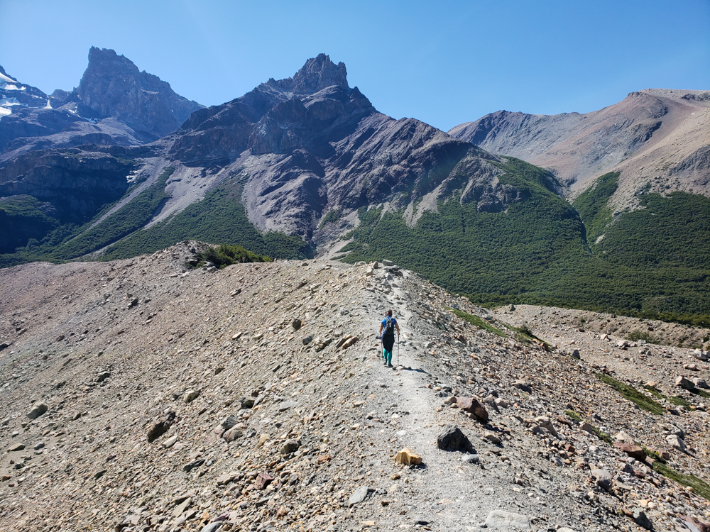
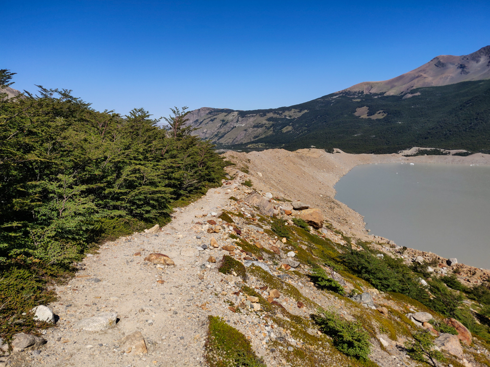
We did this extension of the hike to a viewpoint closer to the glacier, and as well-marked as the beginning part of the hike was, this part had exactly ZERO trail markers… unless it was actually so unclear that we were not even near the actual trail. I think we were, though, because part of the hike was along a ridge where there weren’t many other options, so I’m thinking it was actually just terribly marked. The extension was completely exposed to the sun, very rocky, and all uphill. And we spent the whole time going, “Hmm, these rocks look like they’re a little more trampled down, maybe the path is over here,” crossing our fingers, and walking that way.

Me walking along a ridge
This part of the trail was pretty easy to follow, but it wasn’t all this clear.
Mike way up ahead on the trail
Pleaseee don’t make me climb up anymore. (Bye, Mike.)
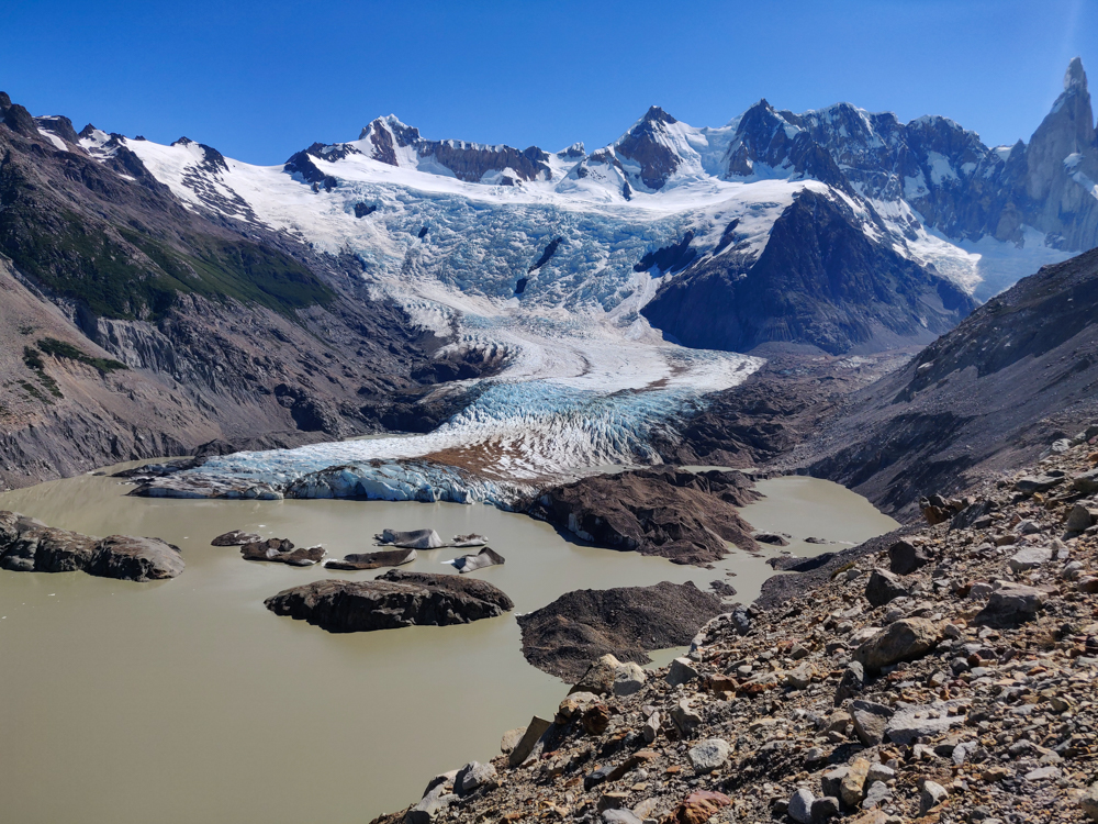
The glacier!
Glacier glacier glacier!

I don’t even know if we made it to the actual viewpoint because we never reached a sign that said we did. We got to a place that looked like it COULD be the end and then Mike decided that if it wasn’t, it was better than the actual thing anyway (based on nothing but his intuition). That was fine with me. I was ready to turn around. We ate a snack in the shade of some rocks before turning around.

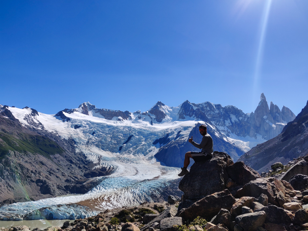
Mike with the glacier
Mike’s classic thumbs up
Another glacier pic
As usual, it looks like we’re on another planet

On the way back, my body was so over walking. Mike was laughing at me because I spent considerable energy ranting about how they have some nerve putting up signs that tell you what kilometer you’re on. How rude, right? You may be thinking, “Oh, that sounds great! Then you know exactly where you are and how far you have to go.” Yes, but no. Yes, I knew exactly how far we still had to go, but no, it wasn’t great. It ruins any chance you have of deluding yourself into believing that there’s only a little bit left. I spent the rest of the time yelling at him (kindly, of course) to tell entertaining stories to distract me from my misery.

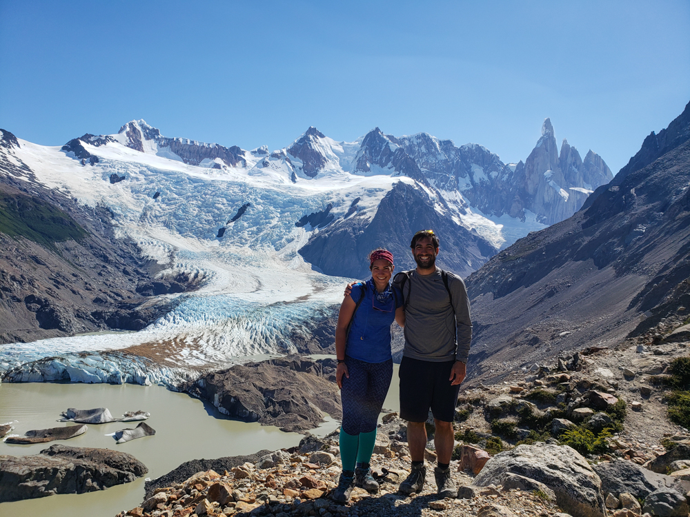
Me and Mike with the glacier in the background
Us with a glacier. No big deal. No matter how many glaciers we visit, I’m still totally awed.
The path headed down the mountain
On the way back down! Much better than the way up, though we still had no idea where we were supposed to be walking.
Little waterfall along the trail
Pretty!

When I’m hiking, I go through these phases. At the beginning, my feet hurt and it’s awful, but soon enough, they go numb, I feel fine, and I’m cruising. Later, my feet inevitably remember how unhappy they are and start screaming at me, and I hobble along in agony. Eventually, I get like a 4th wind and can crank out a few more kilometers until I crash and burn again and hobble the rest of the way home. The good thing about this hike was that the trailhead was maybe 20 steps from our hostel, so I really could just collapse at the finish line.

As grumpy as I was at the end, I was happy that we had just done it and had one less day to worry about getting good weather. We spent the rest of the night hanging out with some people we met at the hostel, draining our fresh blisters (that was only me), and crying over the sad state of our feet (also only me). And eating mass quantities of ravioli, the official hiking food of Mike and Lara. All in all, it was a good (and exhausting) day.