As usual, the weather was looking uncertain on one of the days we had designated for hiking. One of Olivia’s friends came over to hang out in the morning, and we were hoping that with a slow start to the day, we’d be able to get a better read on the forecast and would make our final decision at the last minute. Well. Olivia’s friend came and went, and we still couldn’t figure out if it was supposed to rain or not. We checked a few sources, and none of them matched up. One looked like it was projecting rain where we were going? But another one said that there was a very low chance of rain. We decided to go with the more favorable forecast. Why not? Worst case we’d get rained on, and it’s not like that was anything new.
Part of our eagerness to give it a go was because Olivia had been looking at photos from the hike, and it looked spectacular. We were running out of possible hiking days, and we both agreed that it was as good a day as any. Rain is always a possibility.
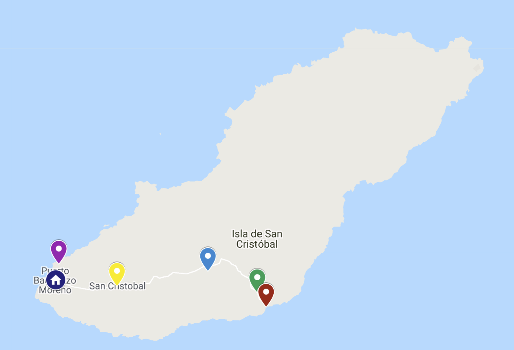
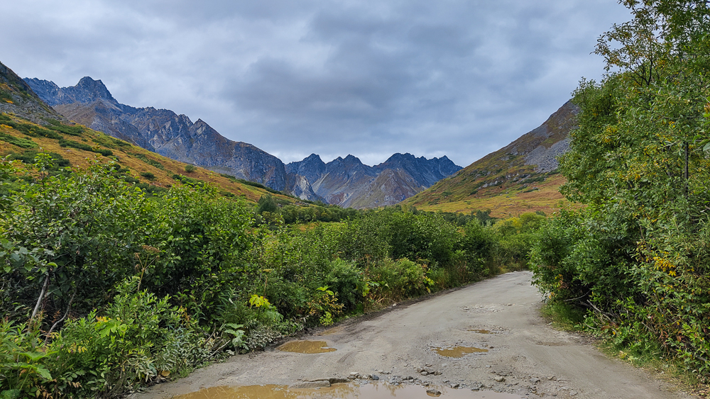
The hike is called Reed Lakes, and it’s near Palmer which is where the State Fair is. We drove past the fairgrounds and up into the mountains without any instances of rain… good sign, but also, the forecasted rain didn’t start looking bad until more like 4PM (we started hiking around 2). We held onto our optimism that we’d be okay.
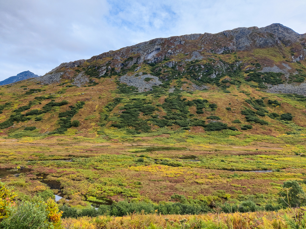
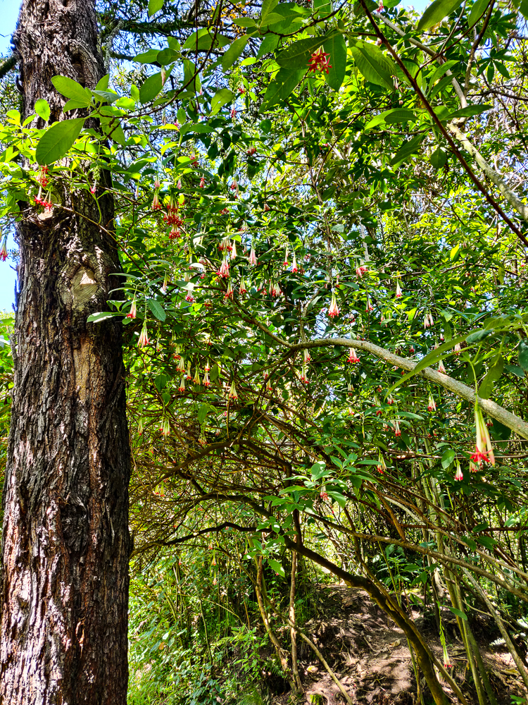
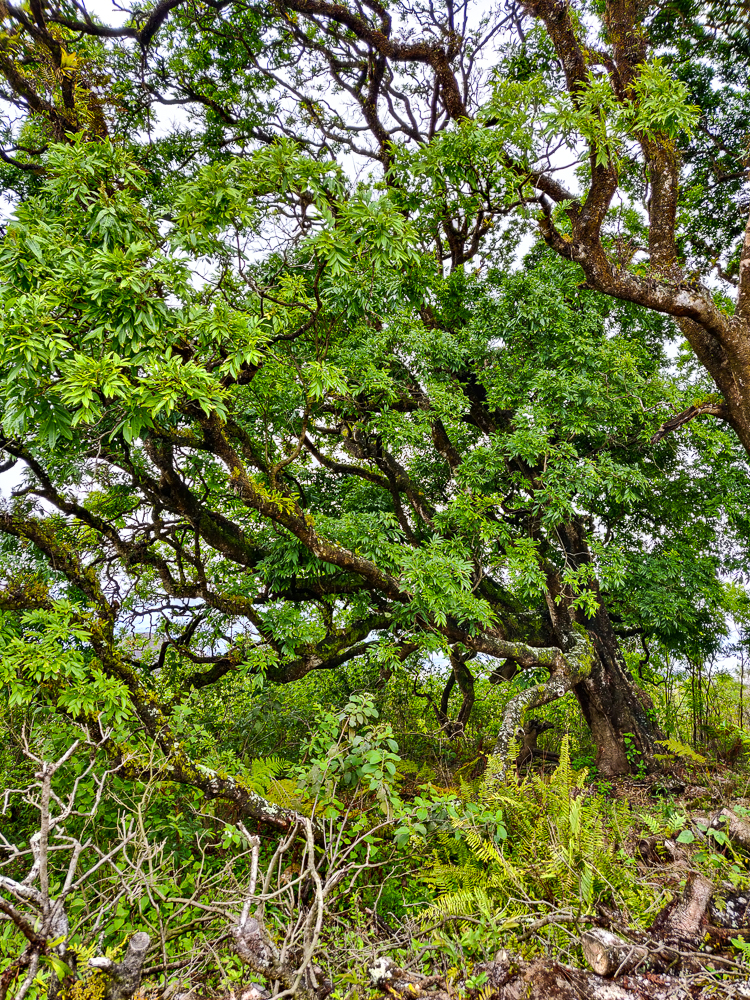
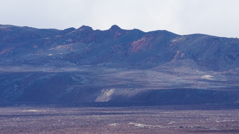
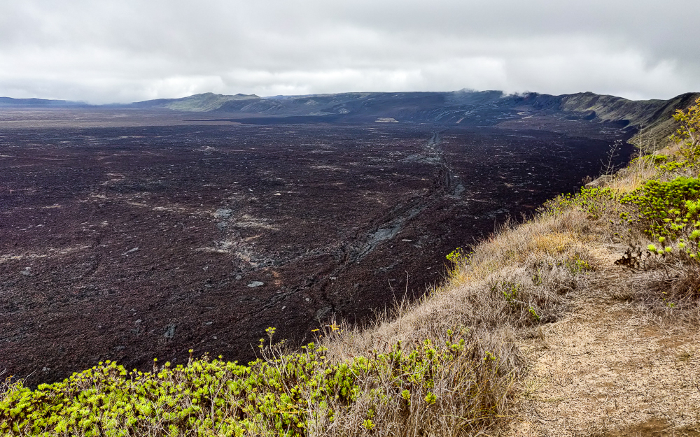
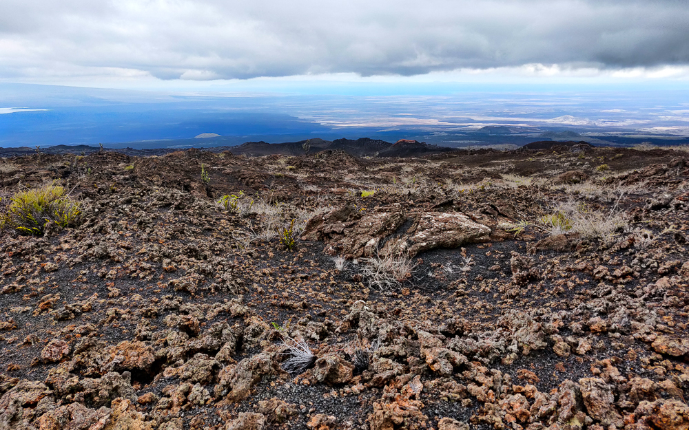
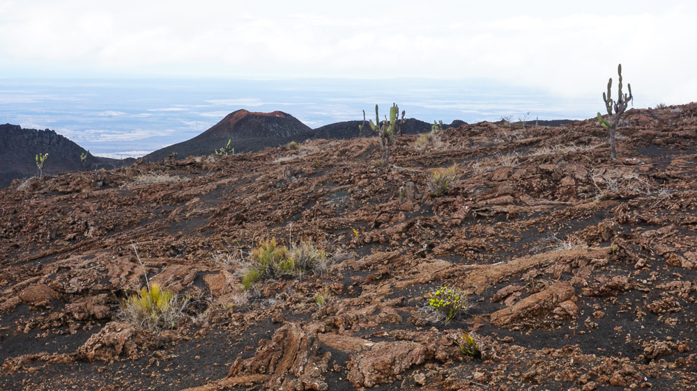
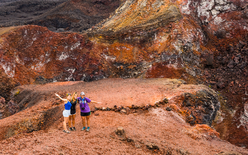
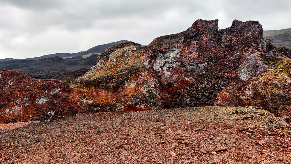
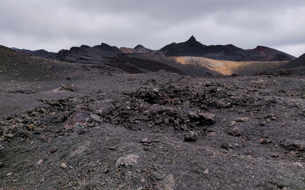
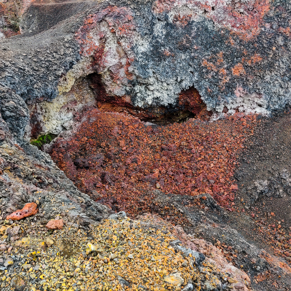
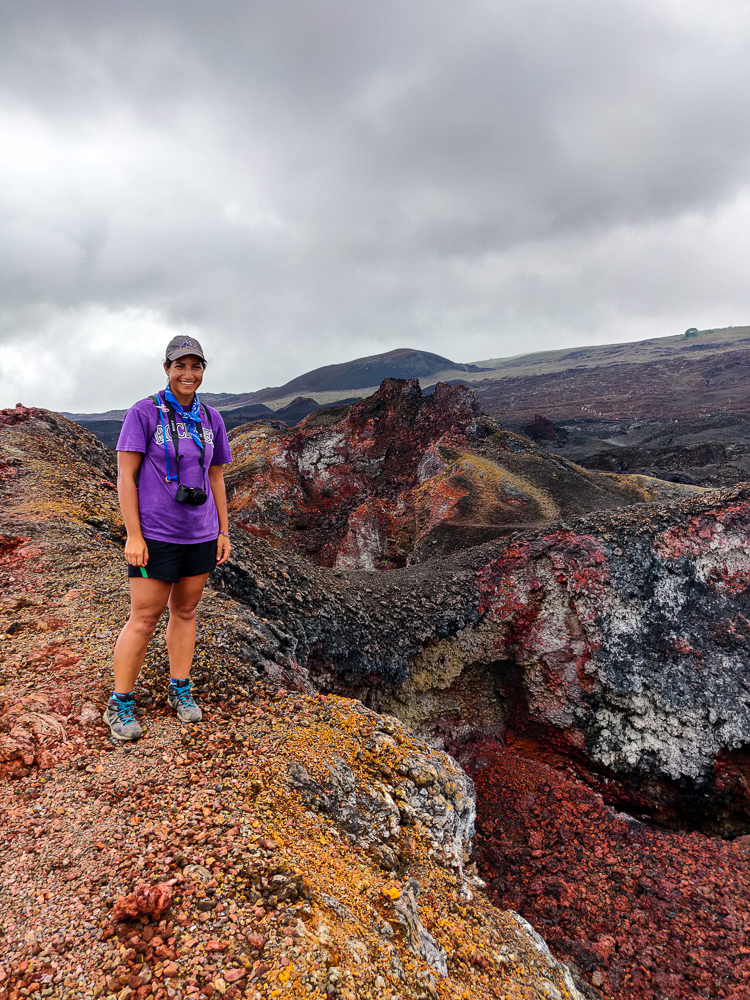
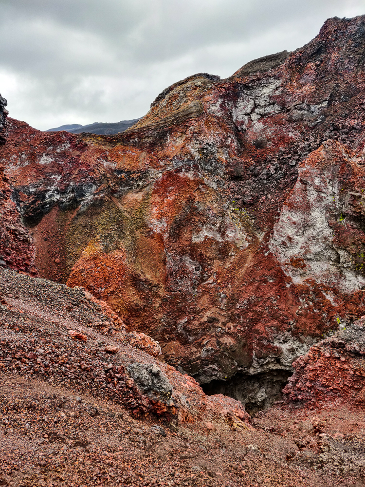
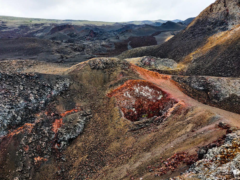
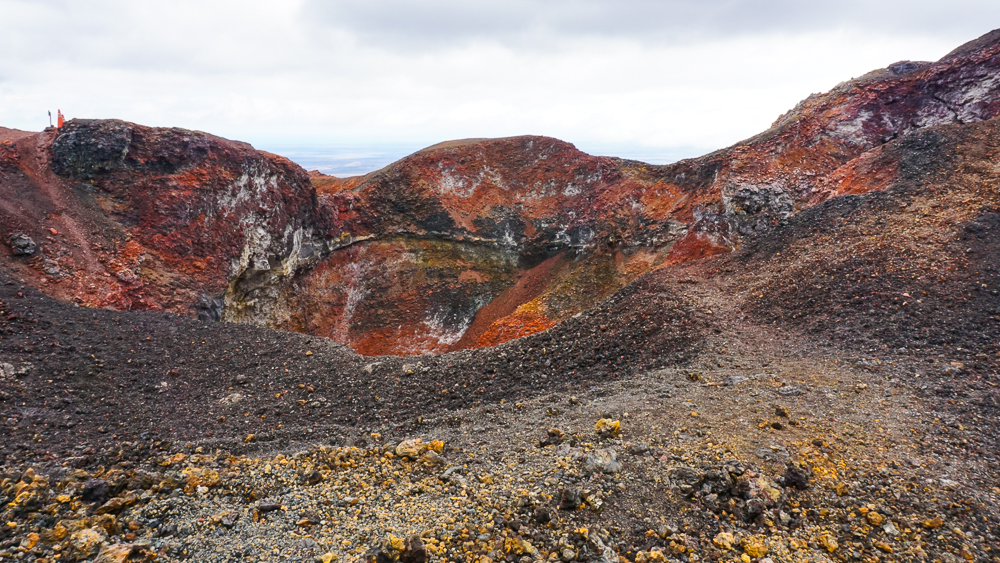
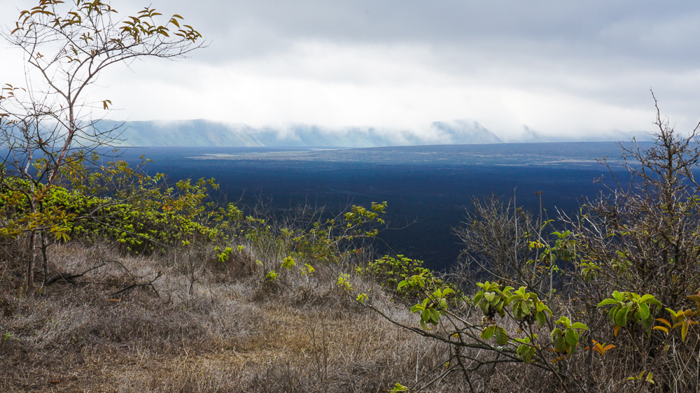
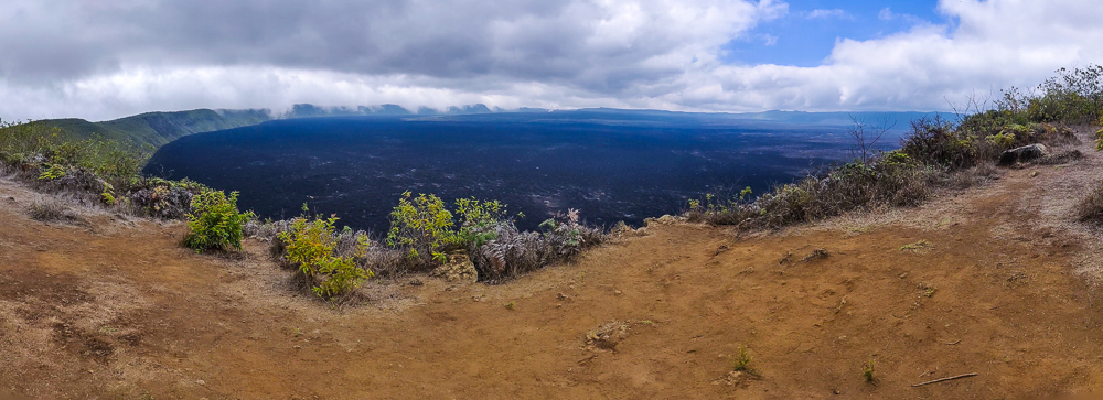
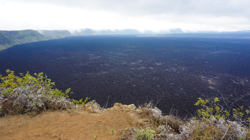
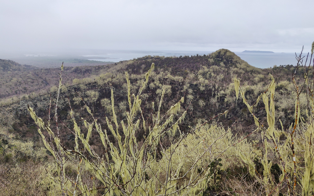
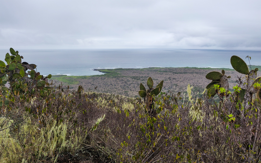
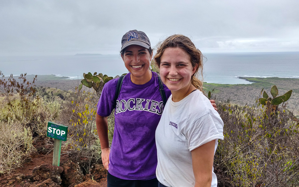
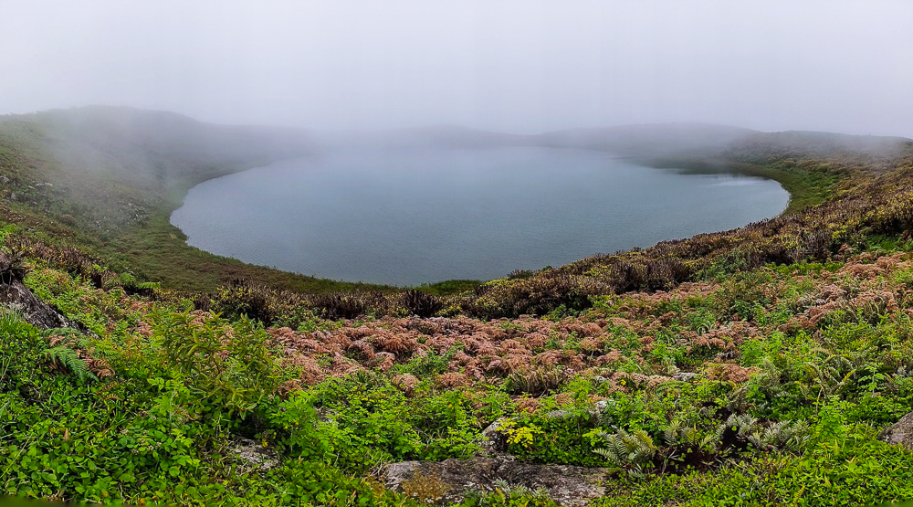
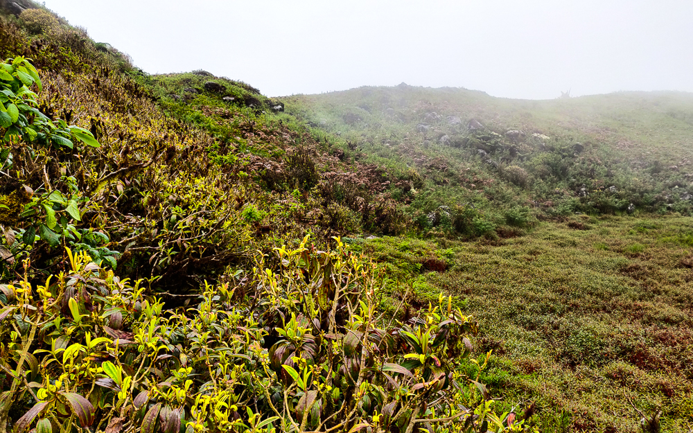
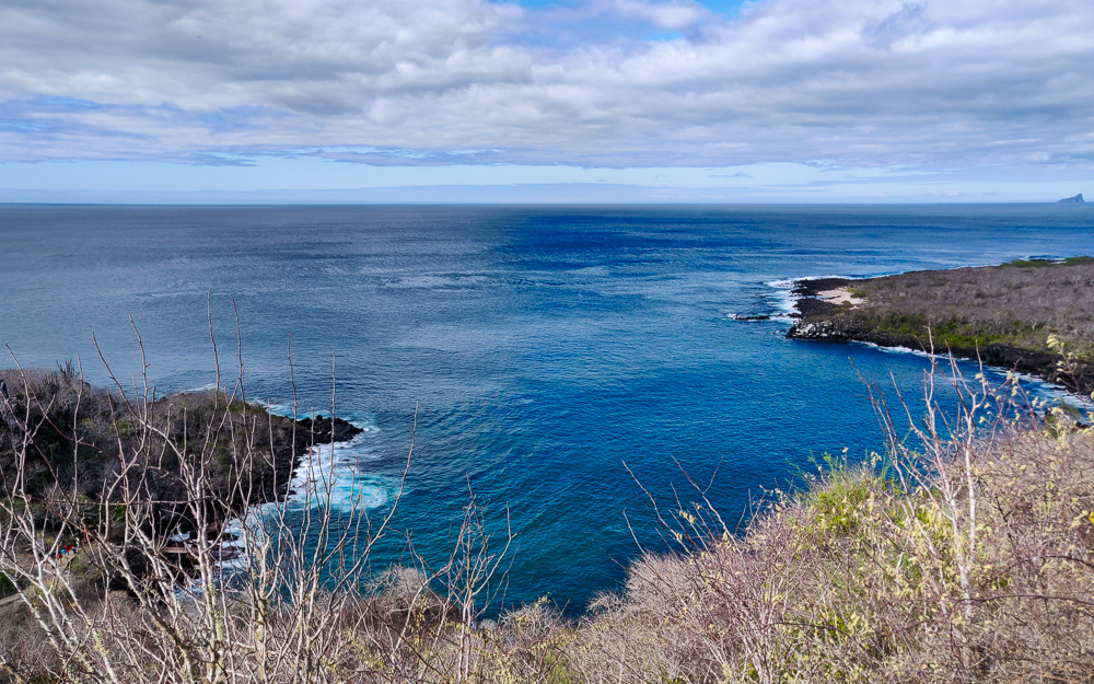
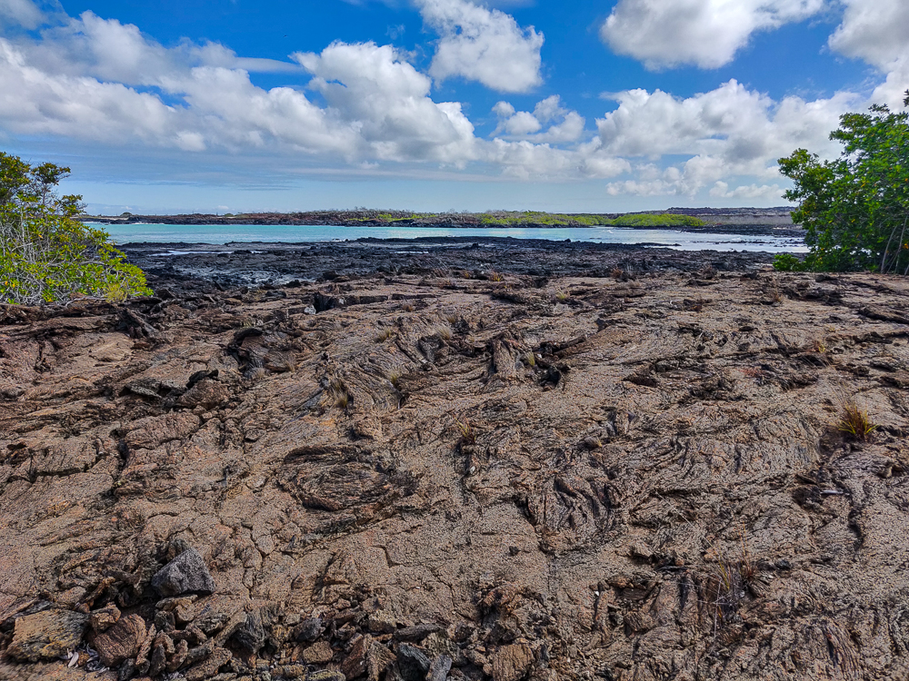
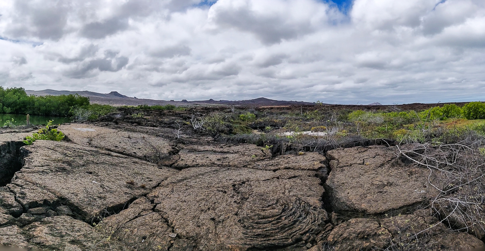
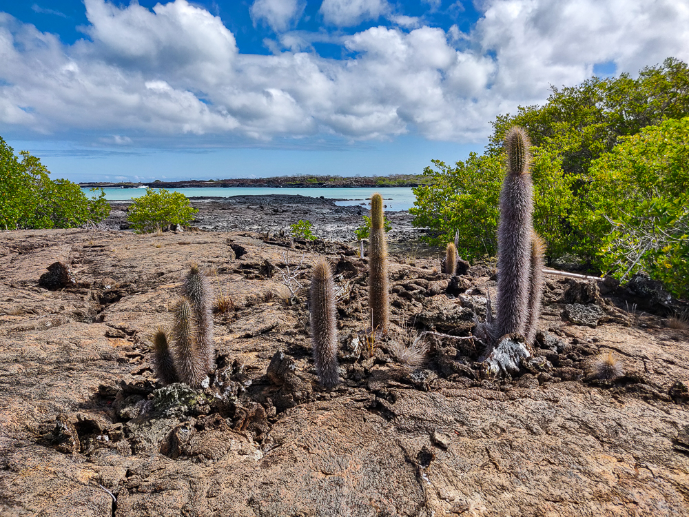
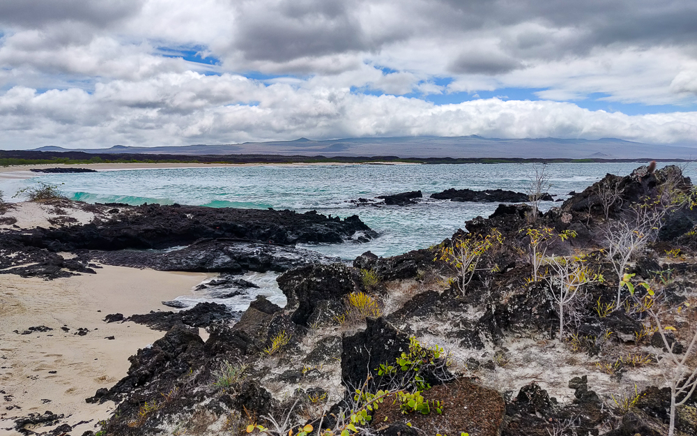
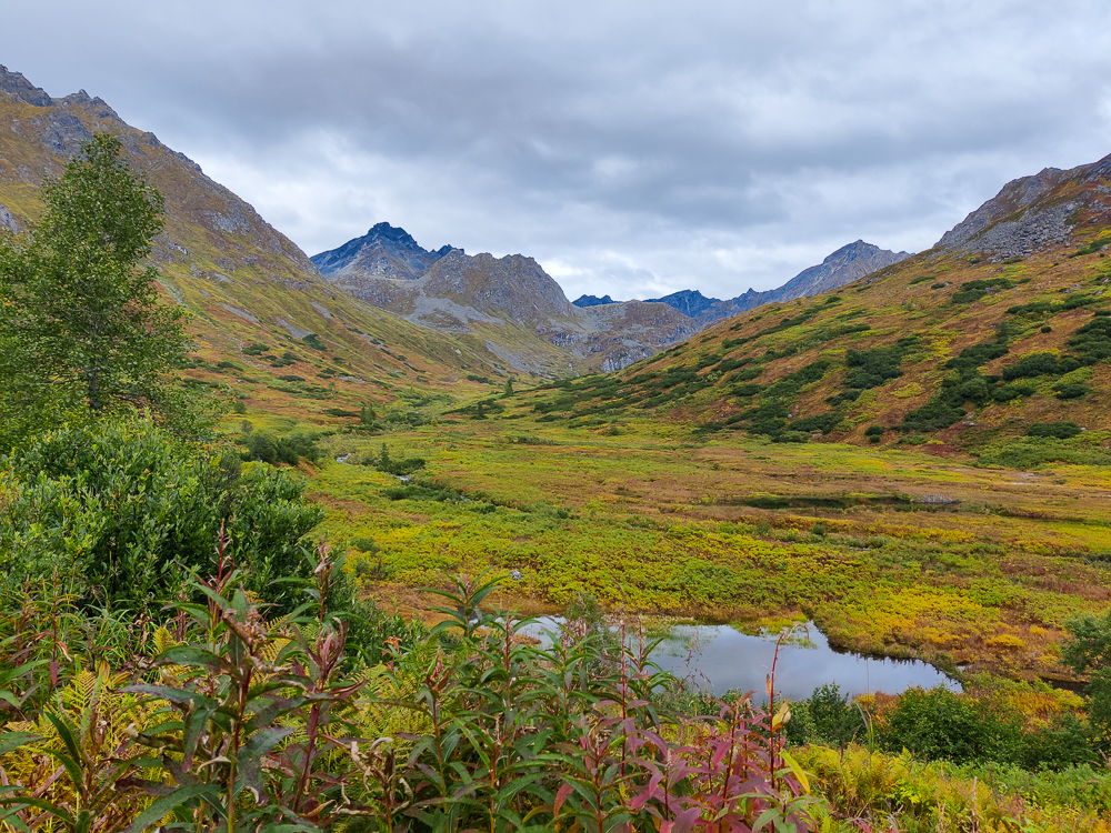
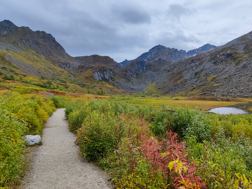
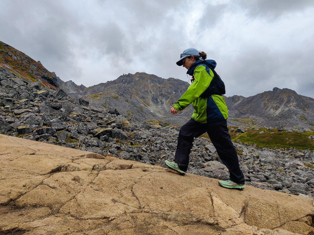
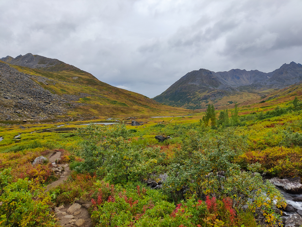
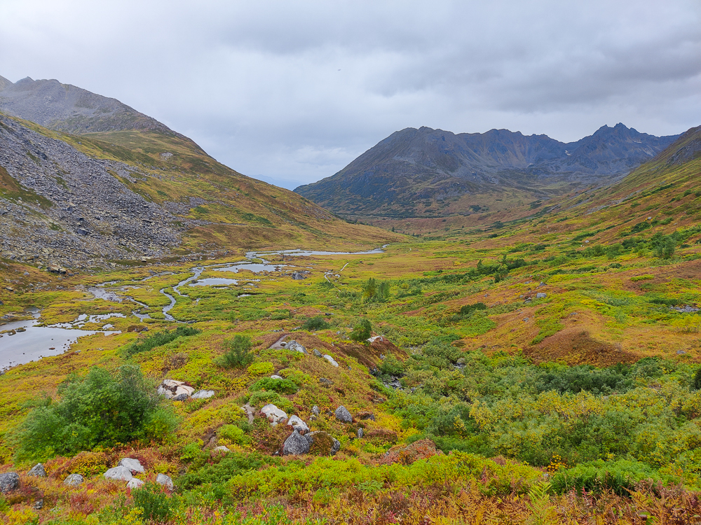
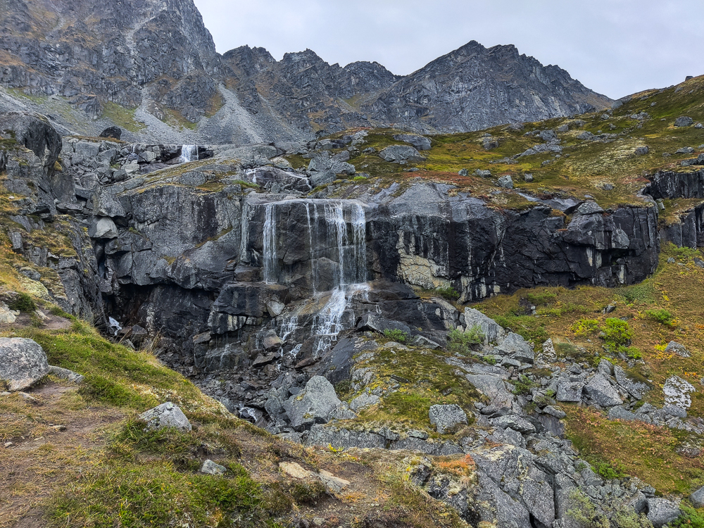
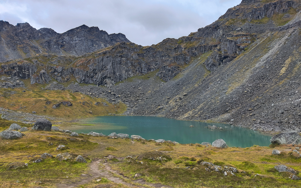
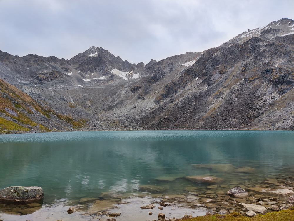
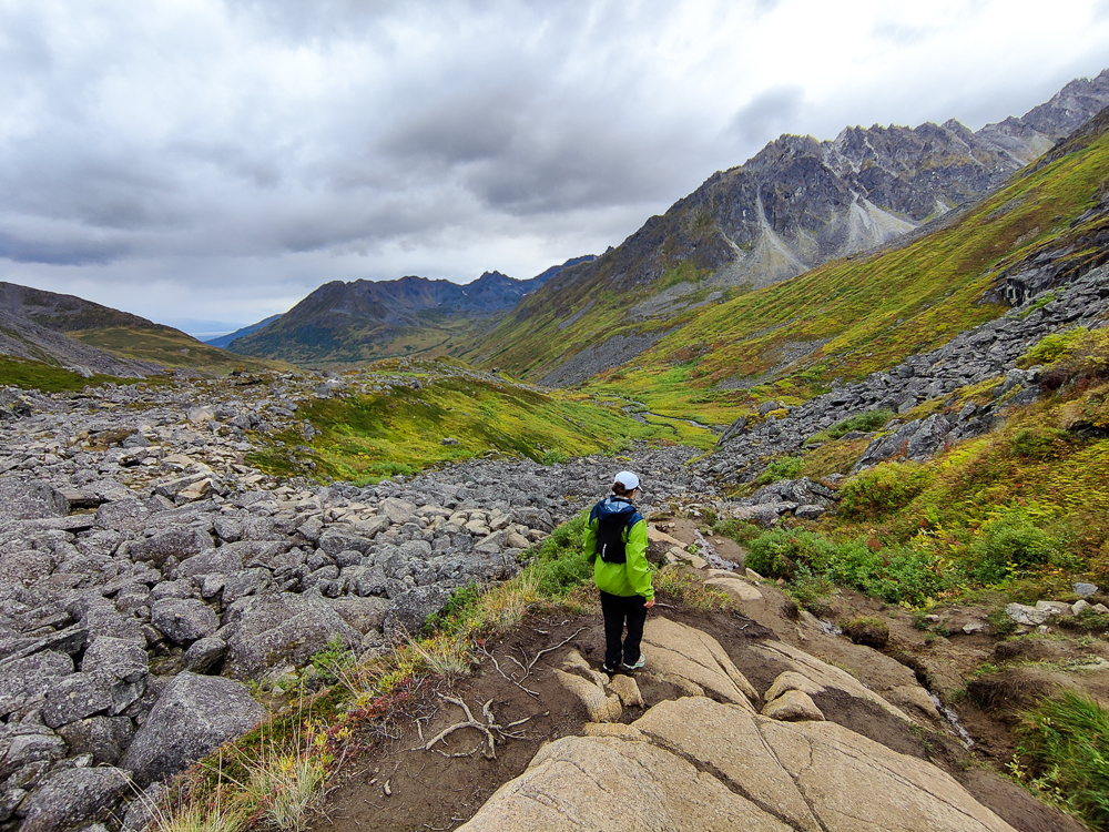
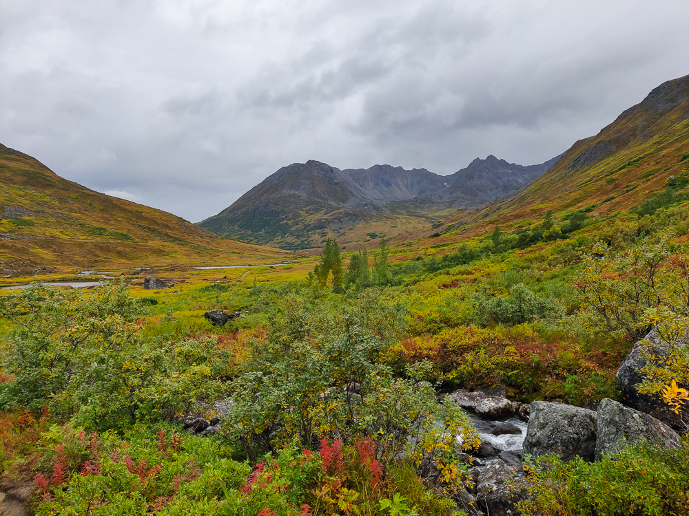
Even from the parking lot, we could tell it was going to be worth it. It looked like the leaves were already starting to change up there, like fall was in full swing. It was crazy how different it looked from Anchorage, only an hour and half away. The mountains towered over us, and the colors were insane… reds and oranges and yellows and browns, plus plenty of green still. Olivia was trying to take pictures out of the window while we were driving, but she said nothing did it justice. That was kind of the vibe for the entire hike. I took SO many pictures, and I don’t think any of them are sufficient to show how incredible it was out there.
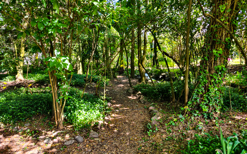
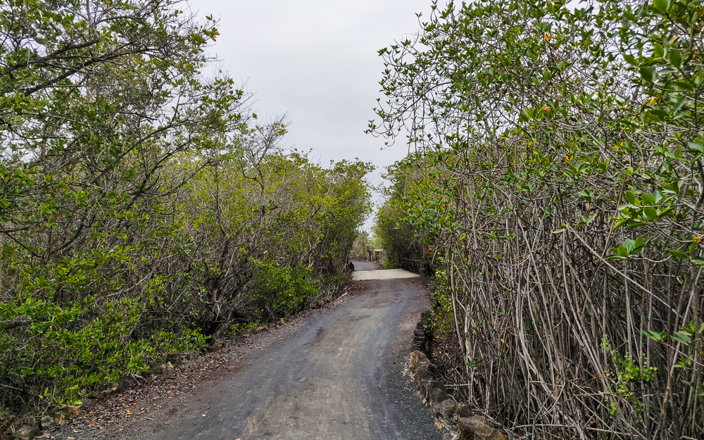
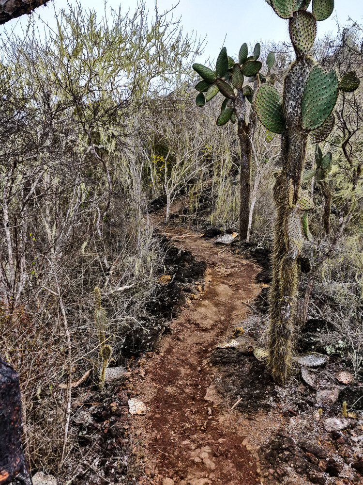
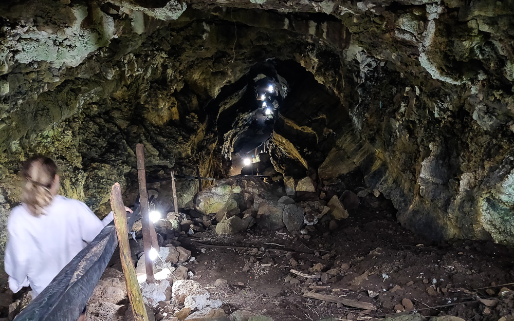
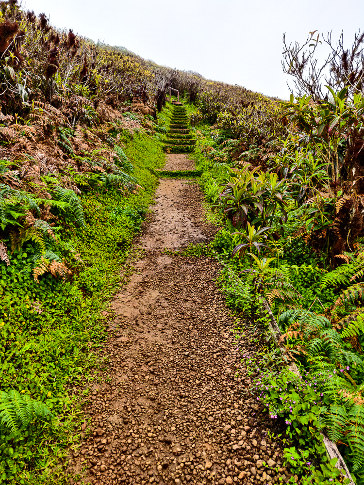
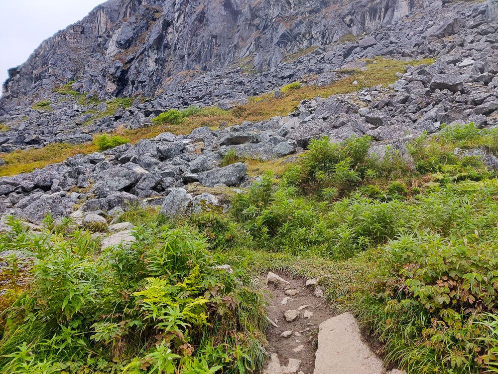
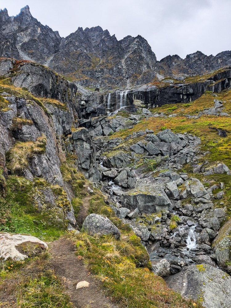
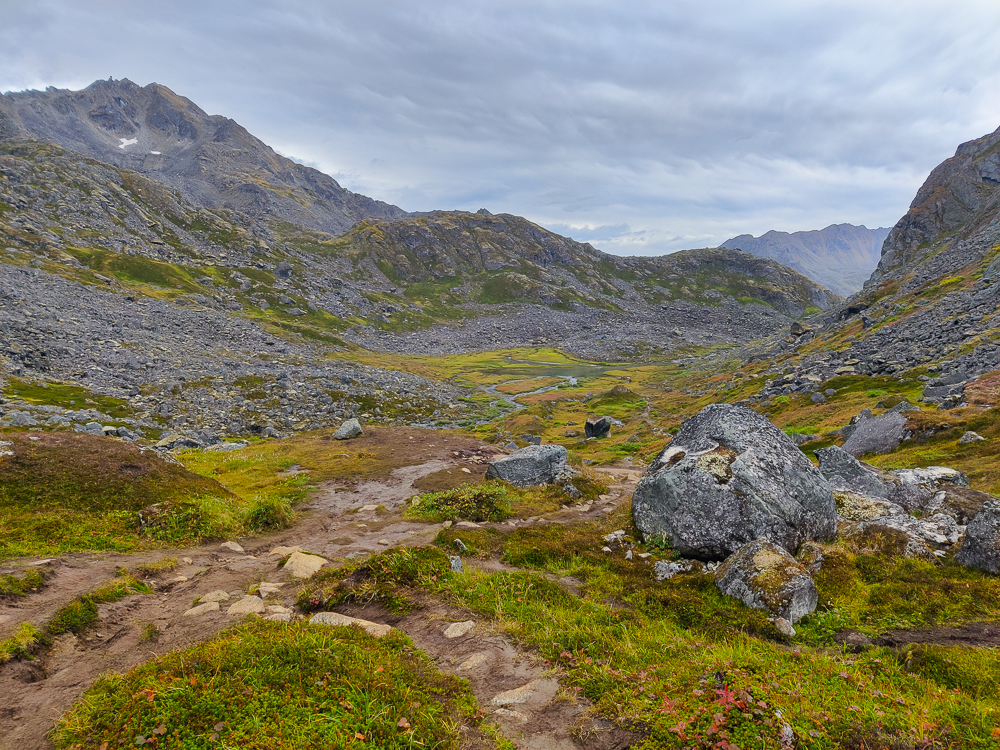
The beginning of the hike is fairly flat, and it’s on a nice, gravel path that winds through the valley alongside the river. Then, there’s a turnoff point, and that’s when the uphill and the Lara-and-Olivia-losing-the-trail begin. I’m not exactly sure why we are so bad at following trails, but I’m going to say that the blame is shared between 1. The trails: because they aren’t actually marked, 2. Our trail apps: because they’re never quite right, and 3. Olivia and me: because honestly, we’d probably get off course regardless because we’re way too busy chatting away to pay attention to something as silly as navigation.
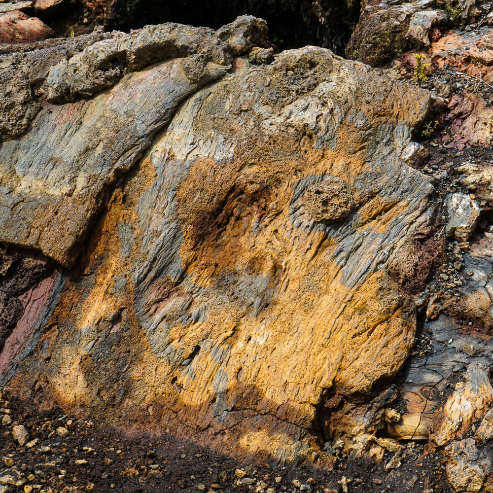
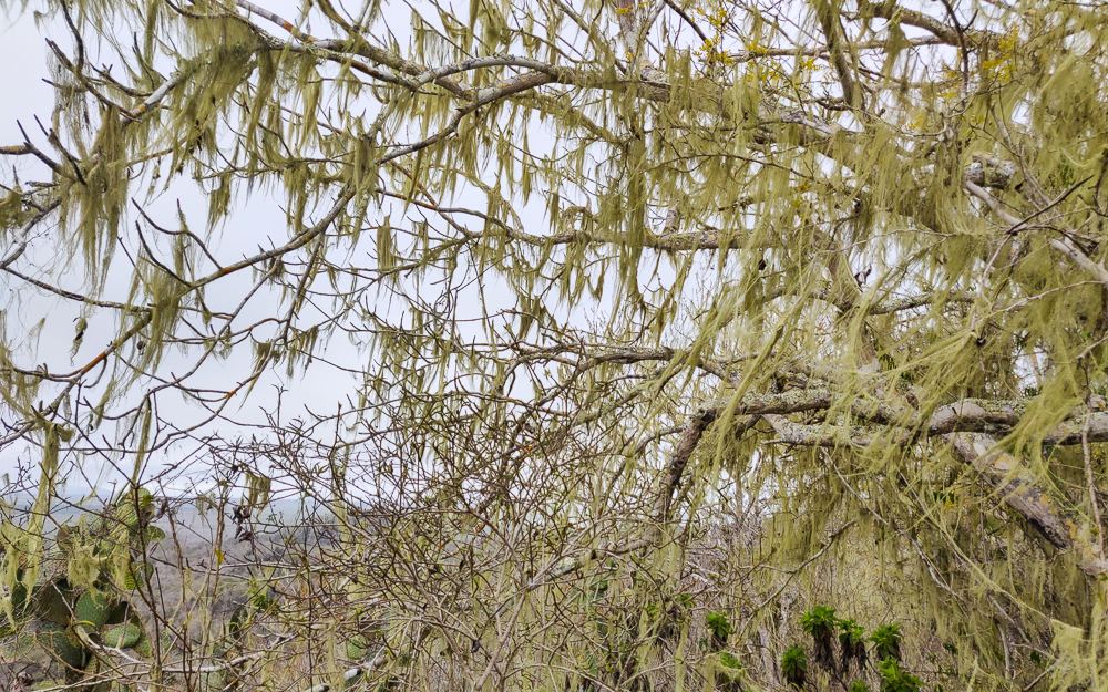
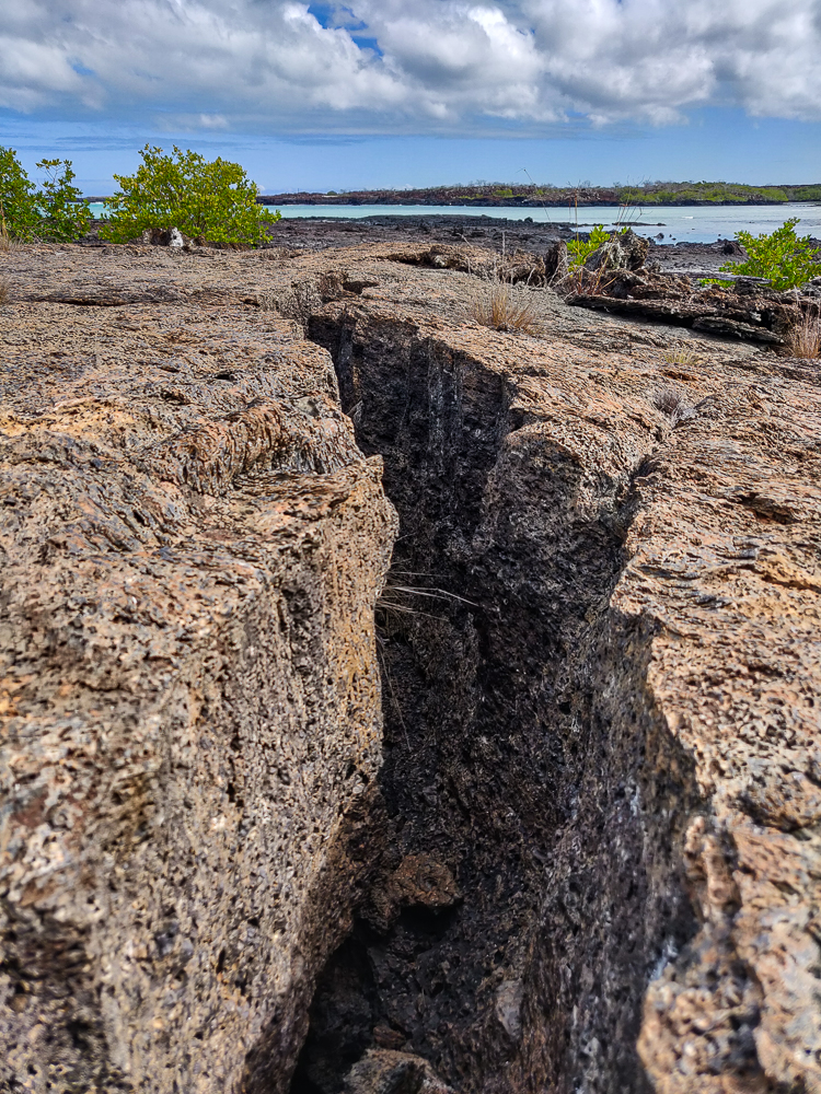
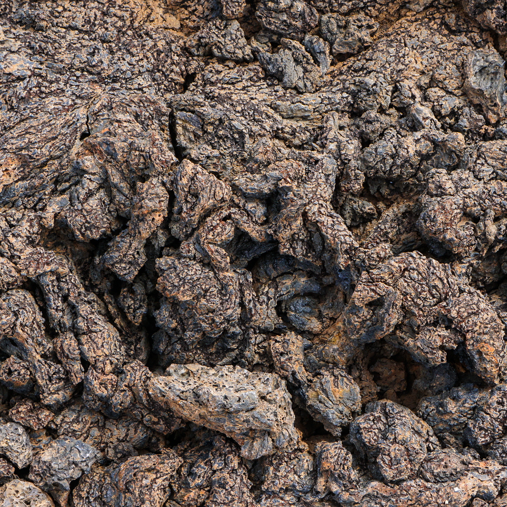
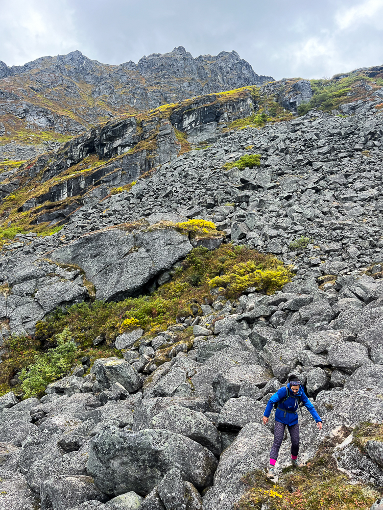
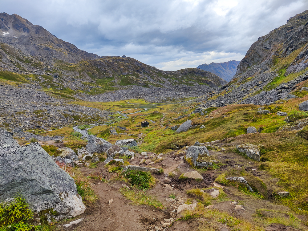
Then, this trail has a couple of additional navigation-complicating factors. There are rock scrambles (climbing over large rocks) which makes it much harder for a followable path to get worn down (stone is slightly more durable than grass). When there is grass, there are little cow paths running here there and everywhere (I don’t know if they’re really called that, and they’re definitely not formed by cows… but you know what I mean), so who knows which one is considered the official “trail”. We didn’t stand a chance.
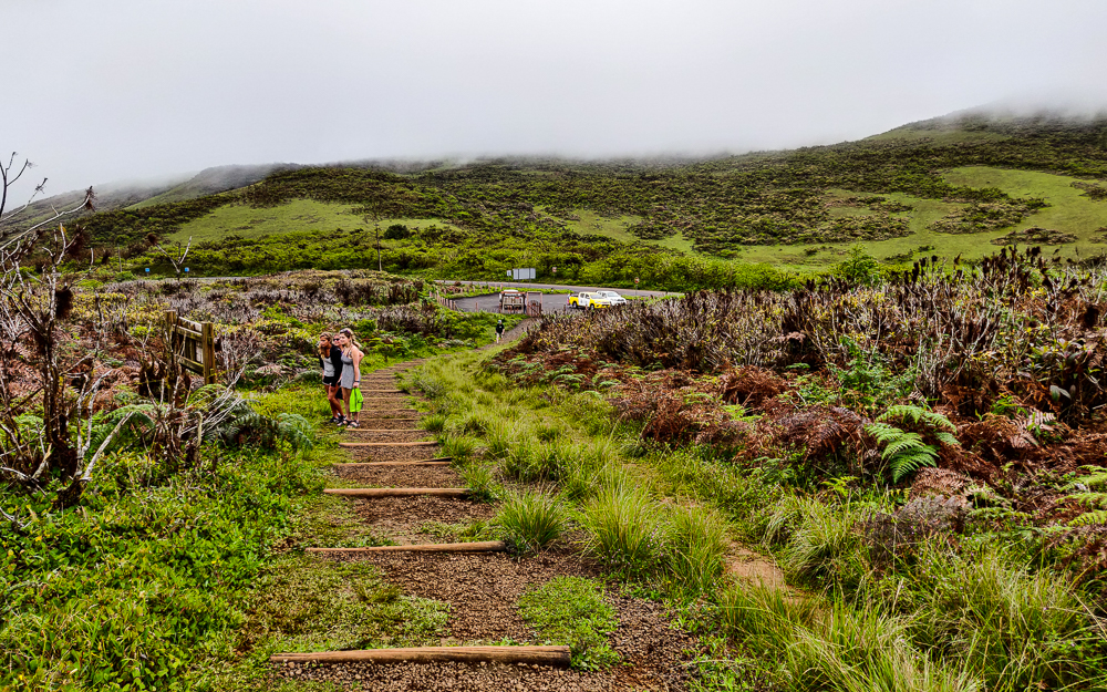
One positive about the weather forecast was that it probably scared some other people away. We saw more people on this hike than on any of the others, but that meant maybe 7 or 8 other groups over nearly 10 miles. And all of them were leaving as we were hiking in. That’s always very reassuring, especially when there’s rain in the forecast. (You’re thinking, “Are we the only idiots who didn’t decide to get an early start to avoid the weather?” and the people you’re passing are probably thinking, “These idiots are going to get soaked.”)
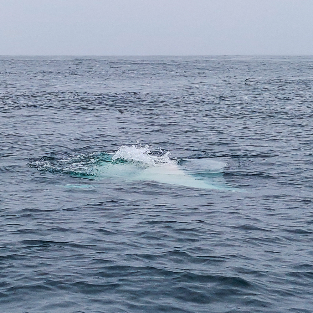
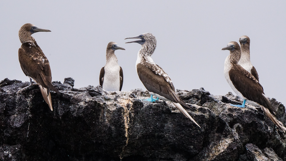
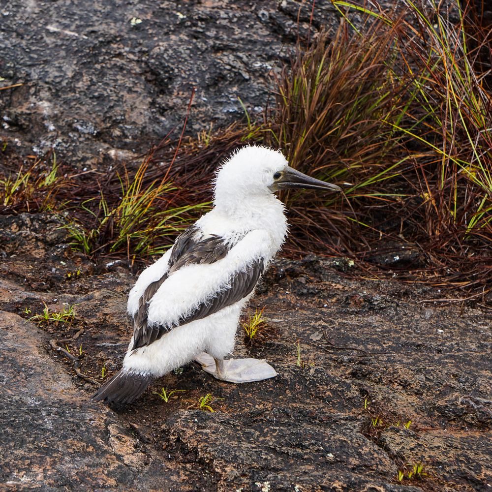
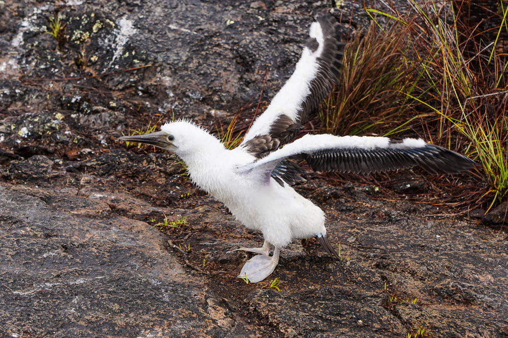
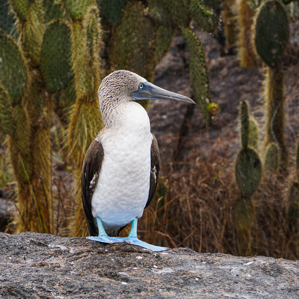
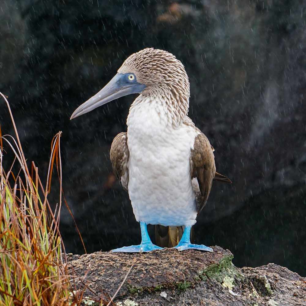
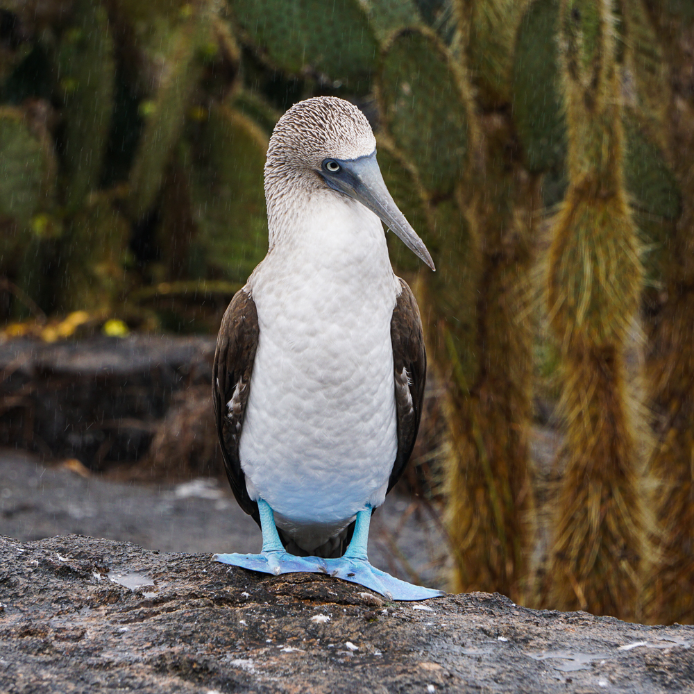
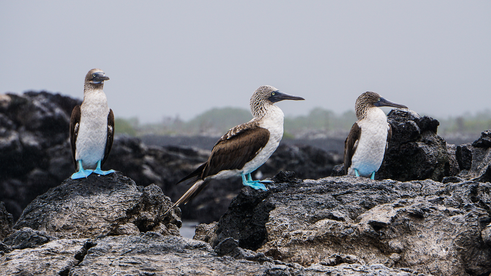
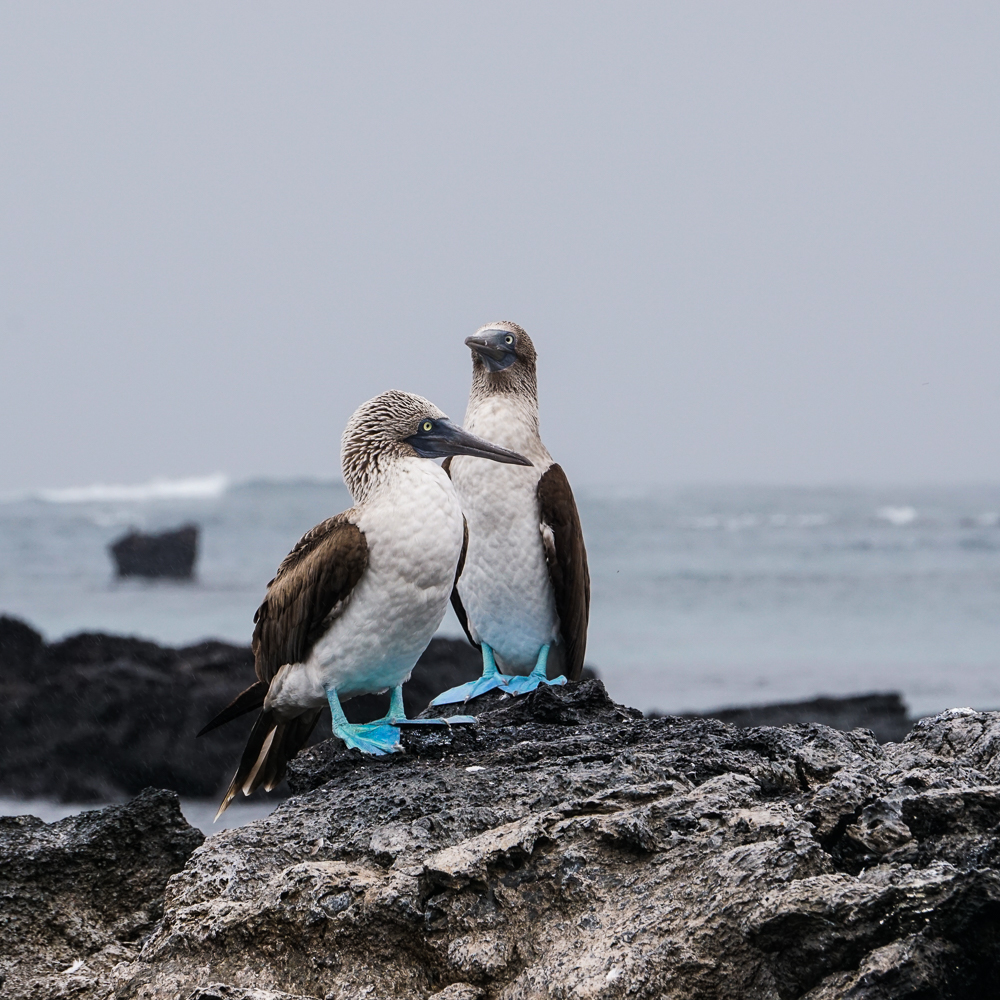
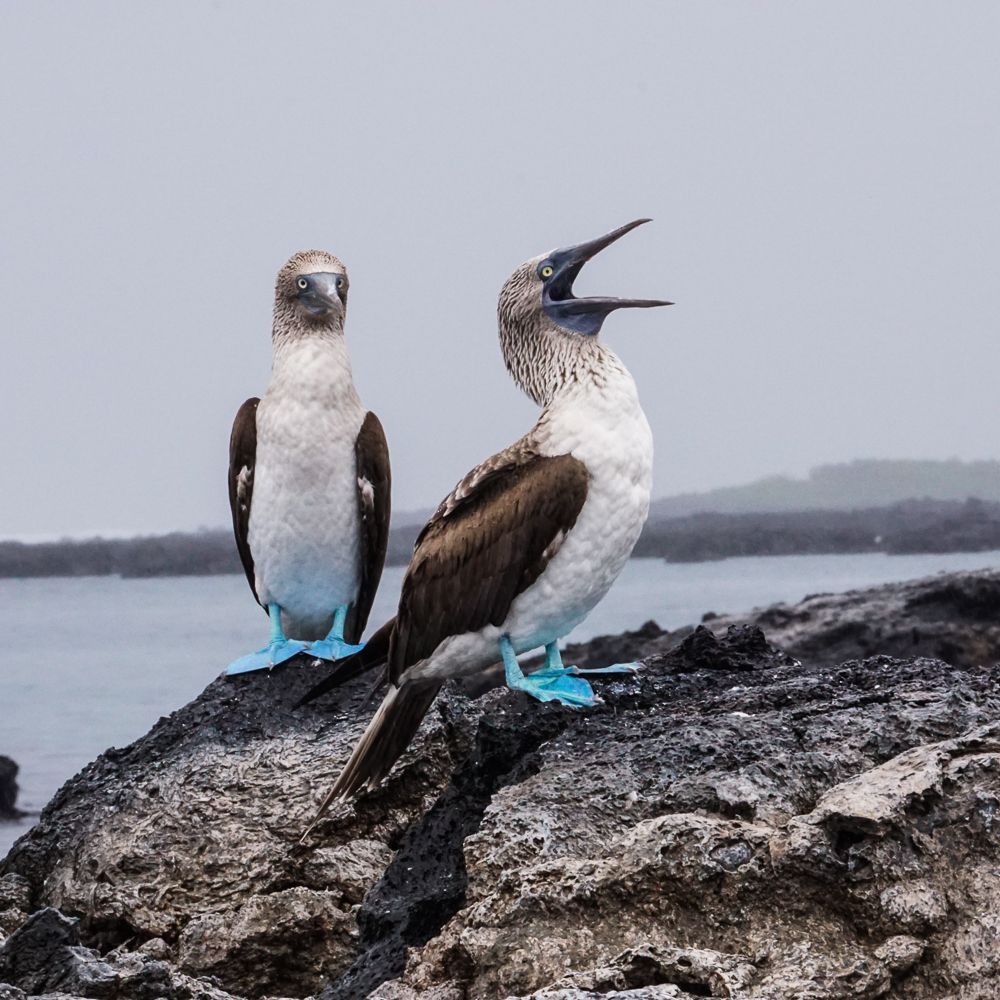
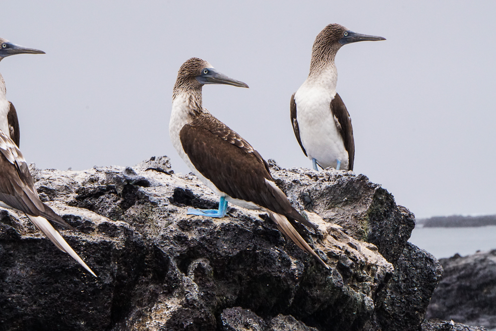
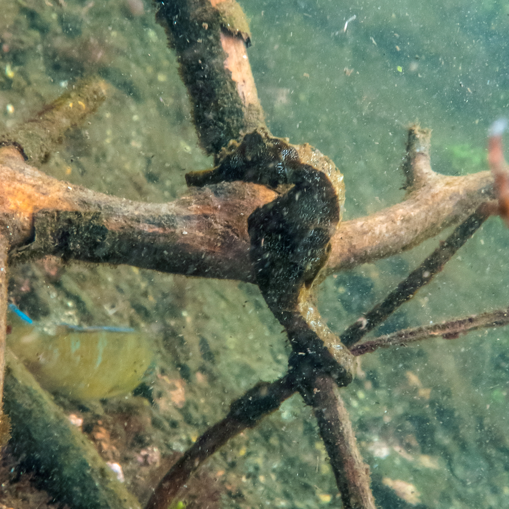
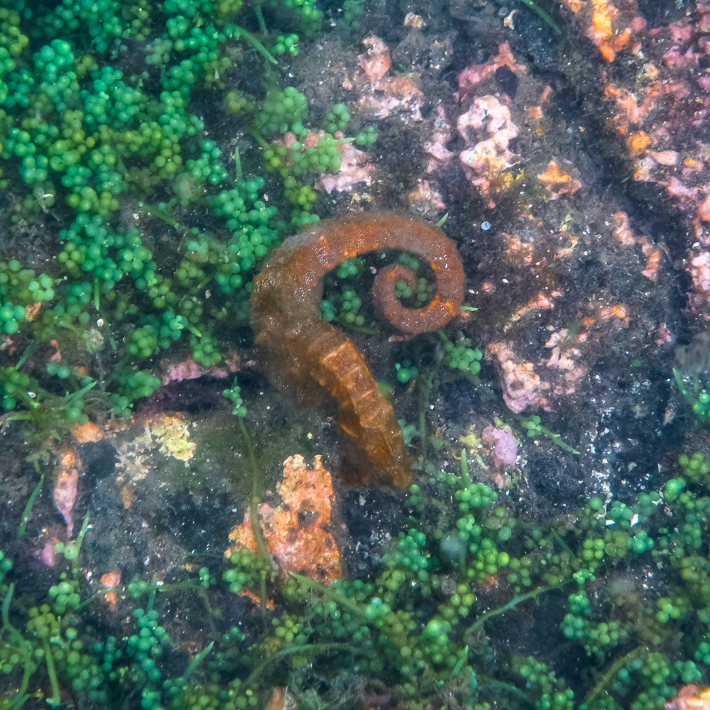
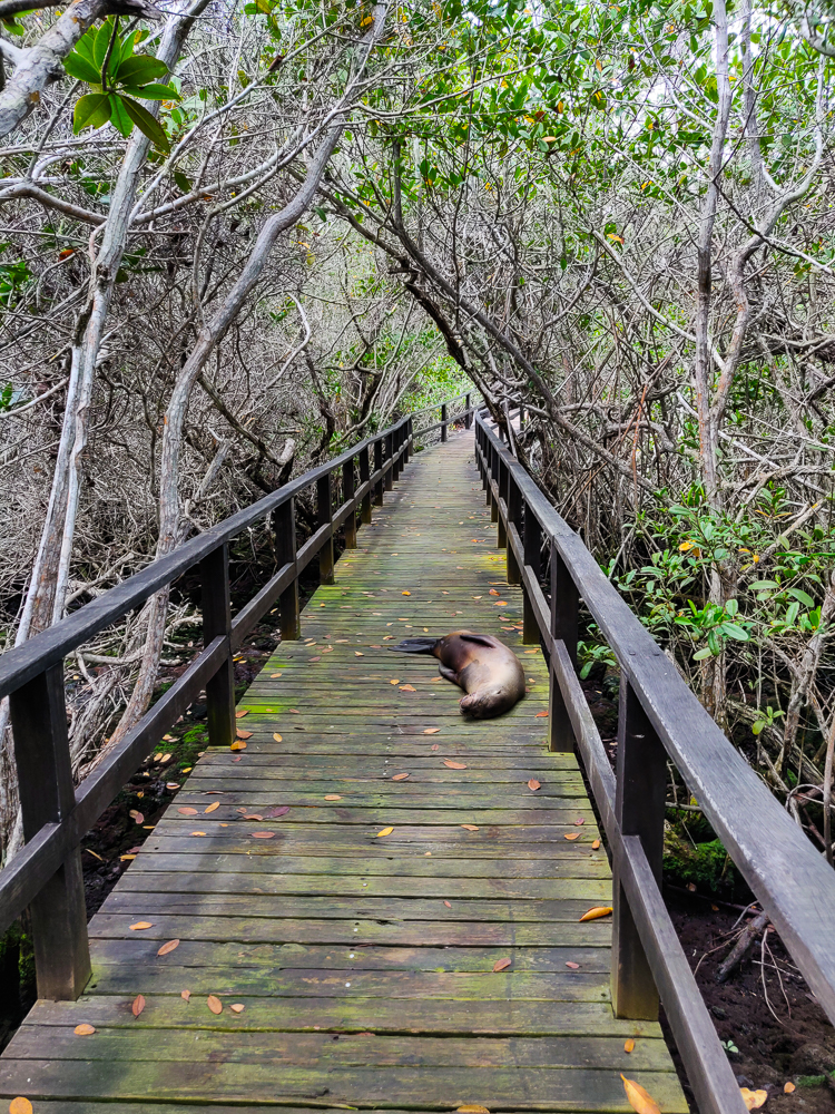
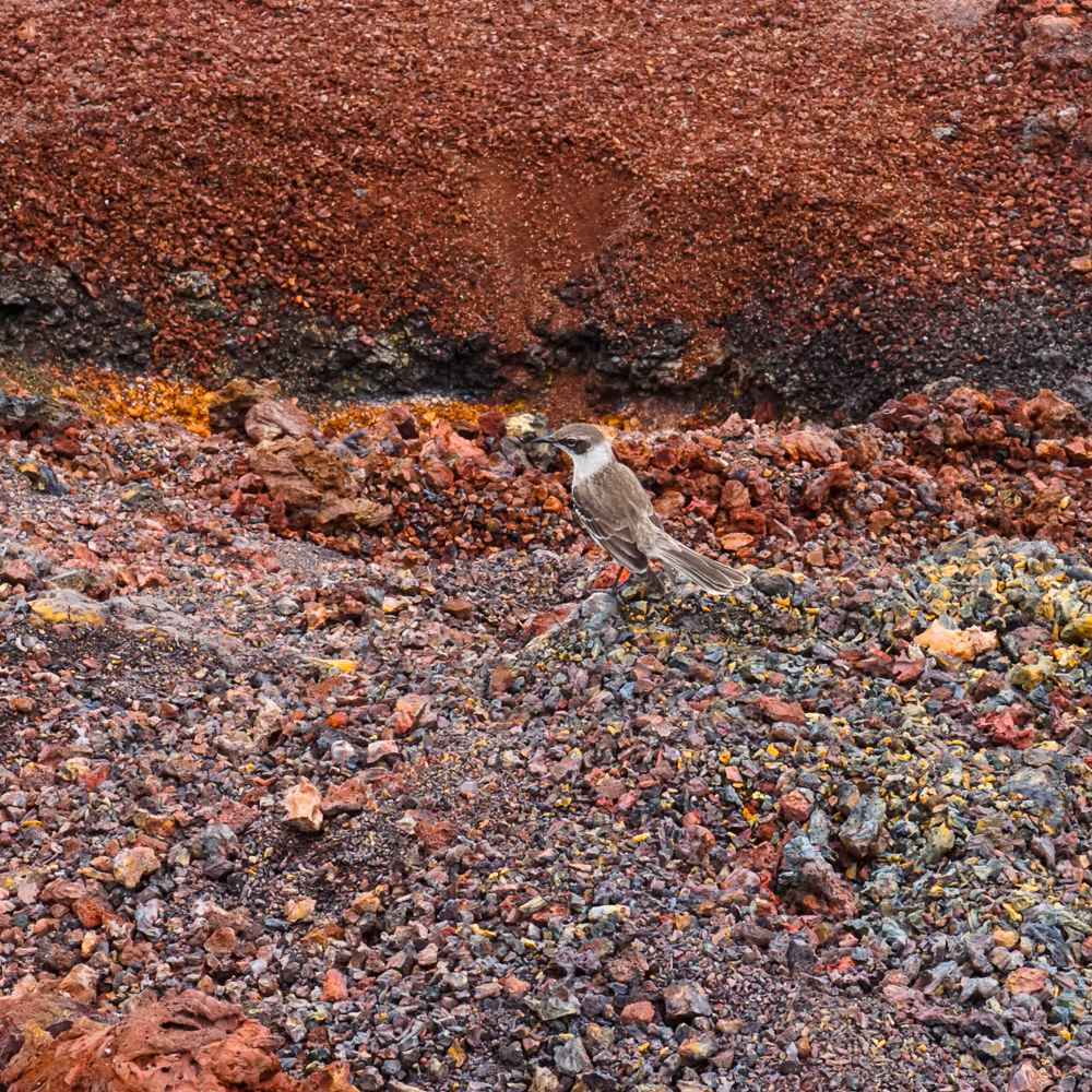
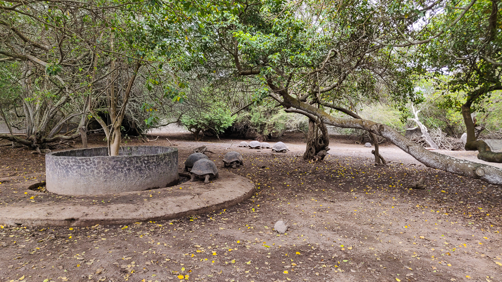
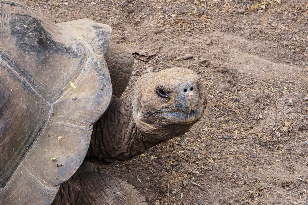
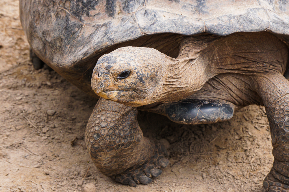
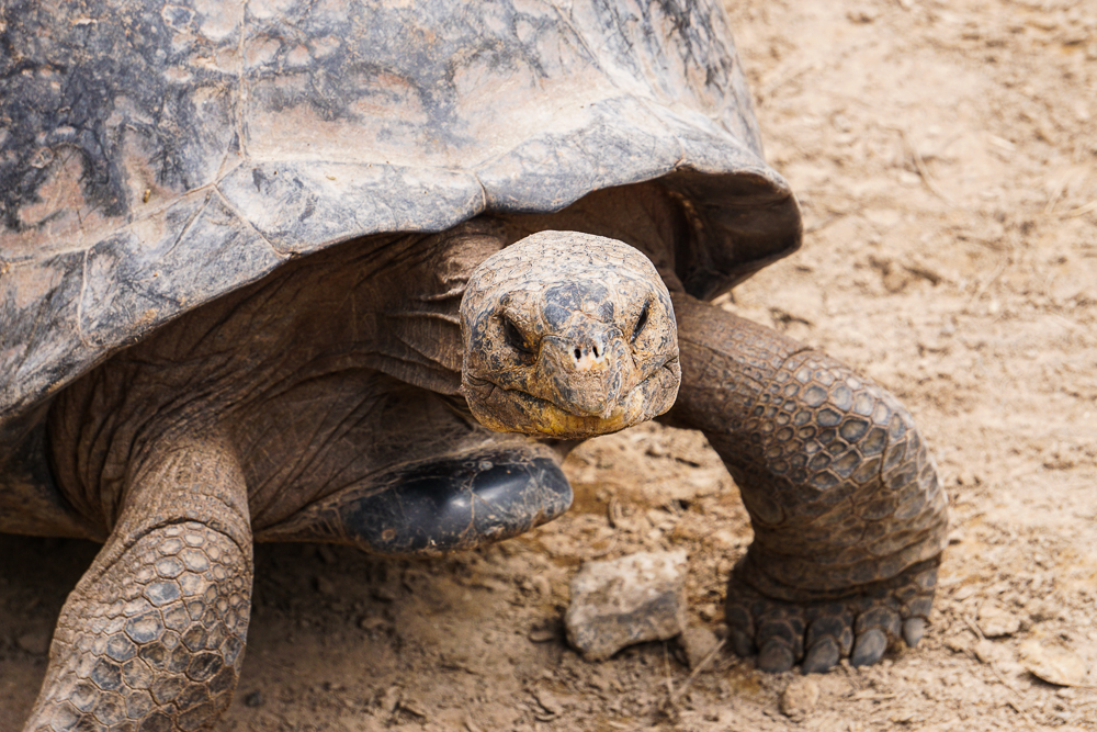
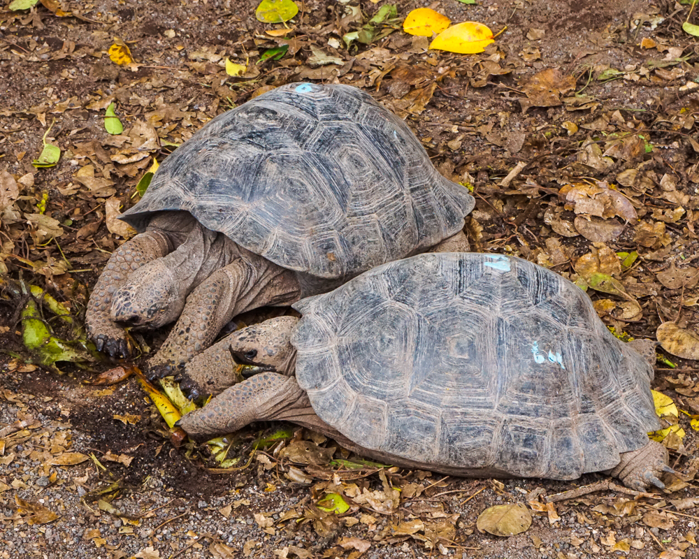
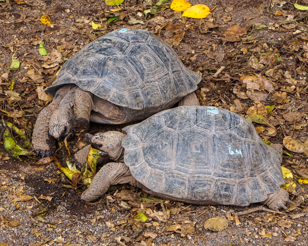
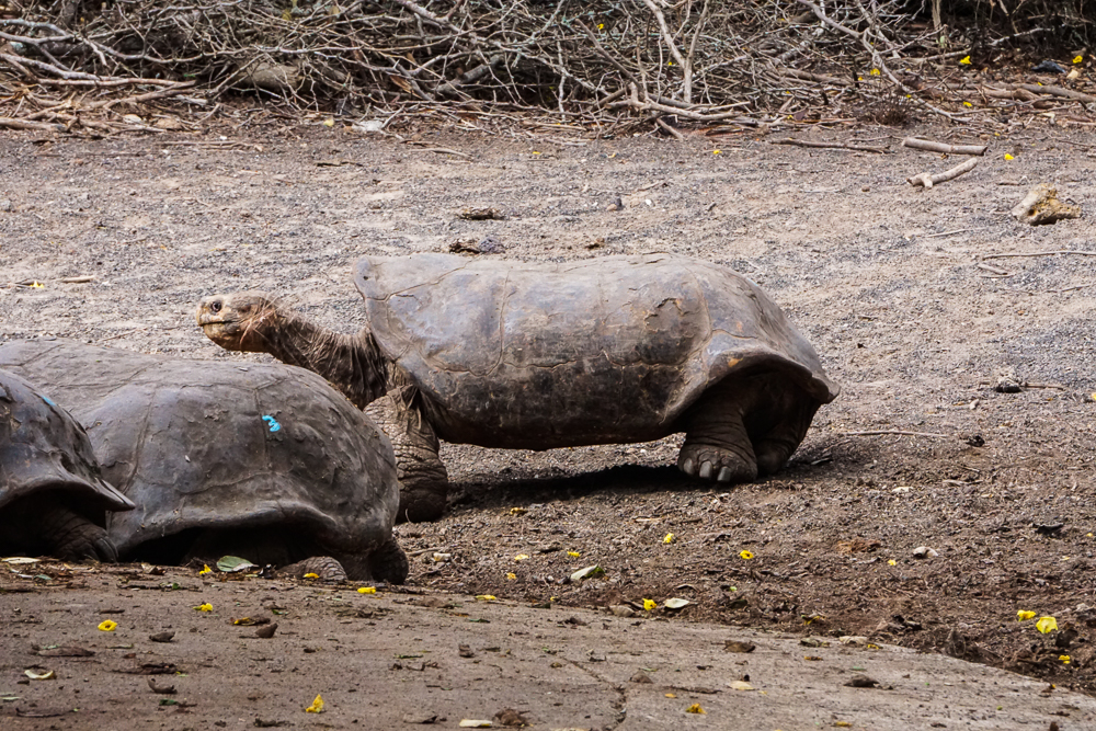
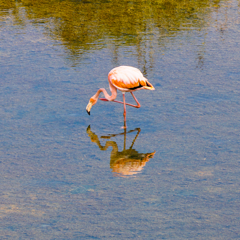
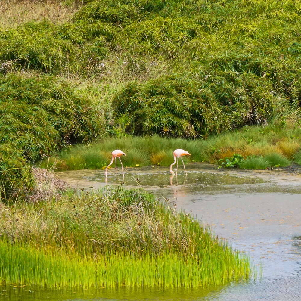
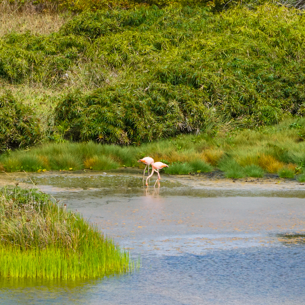
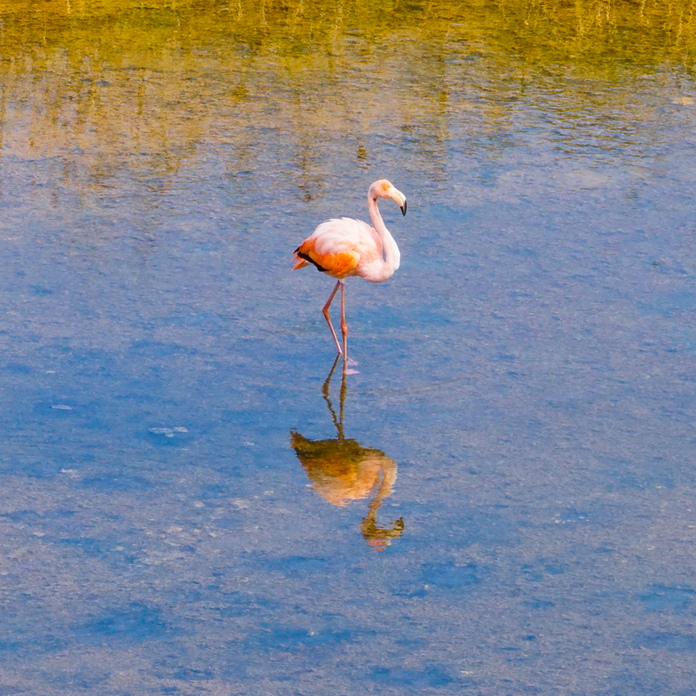
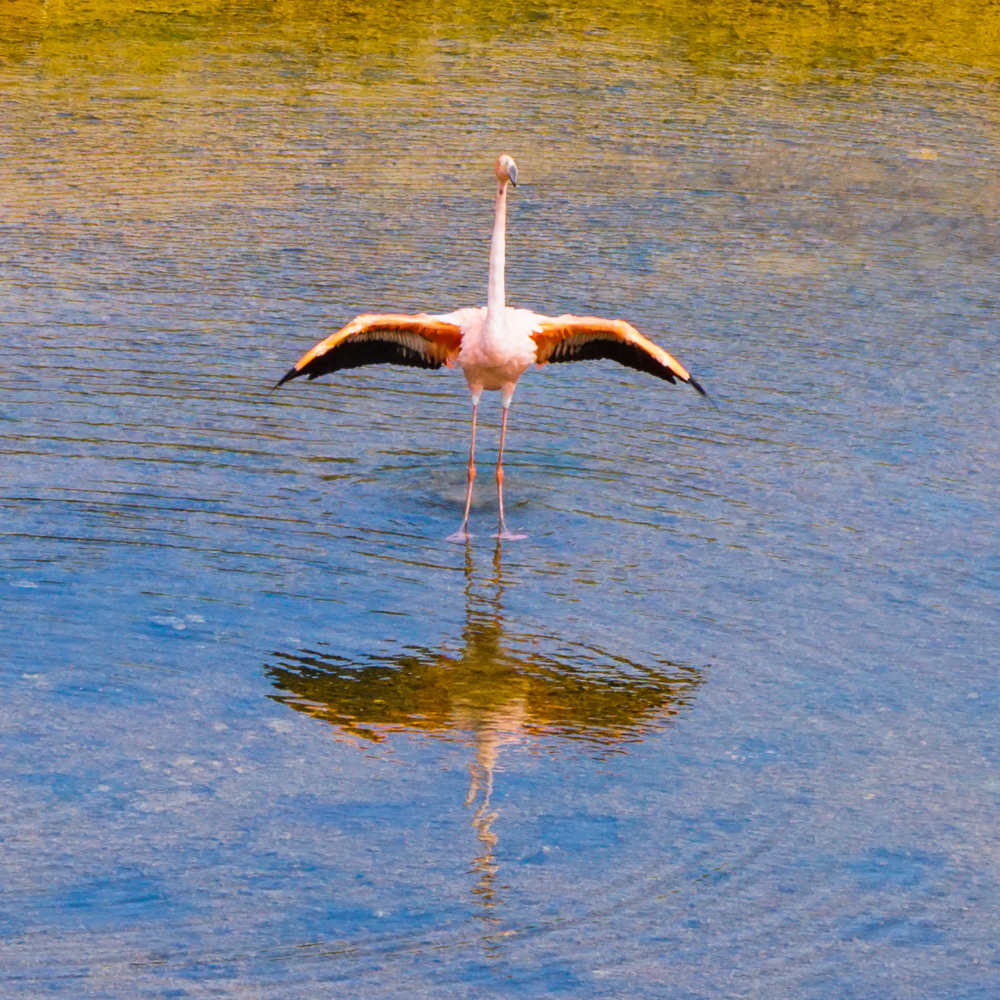
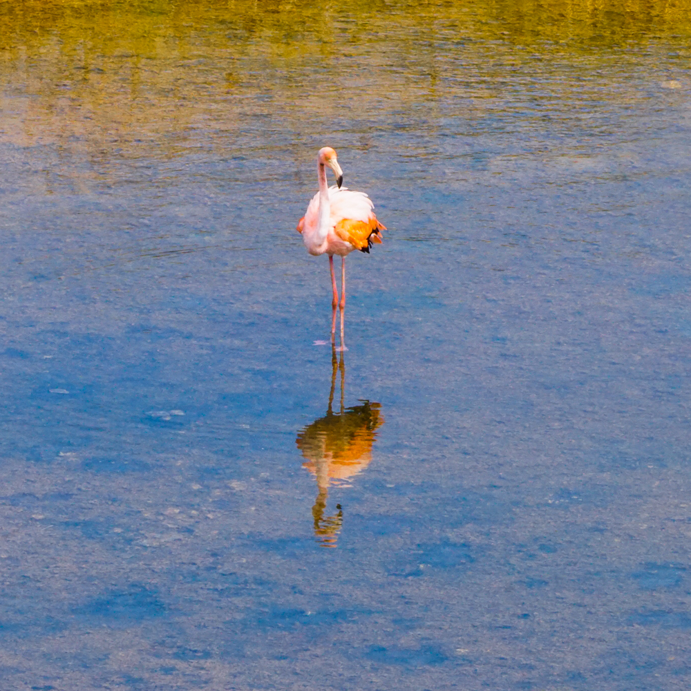
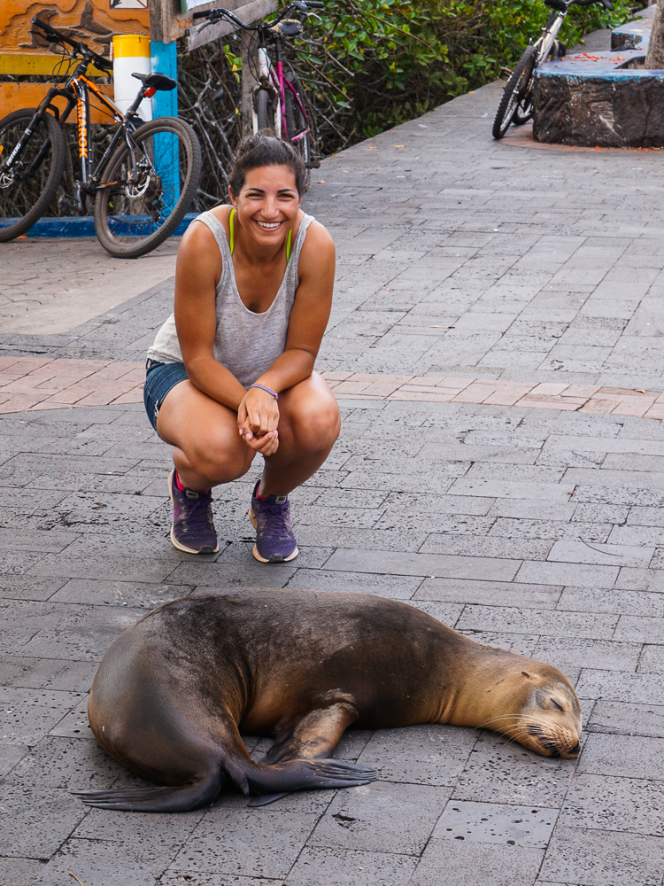
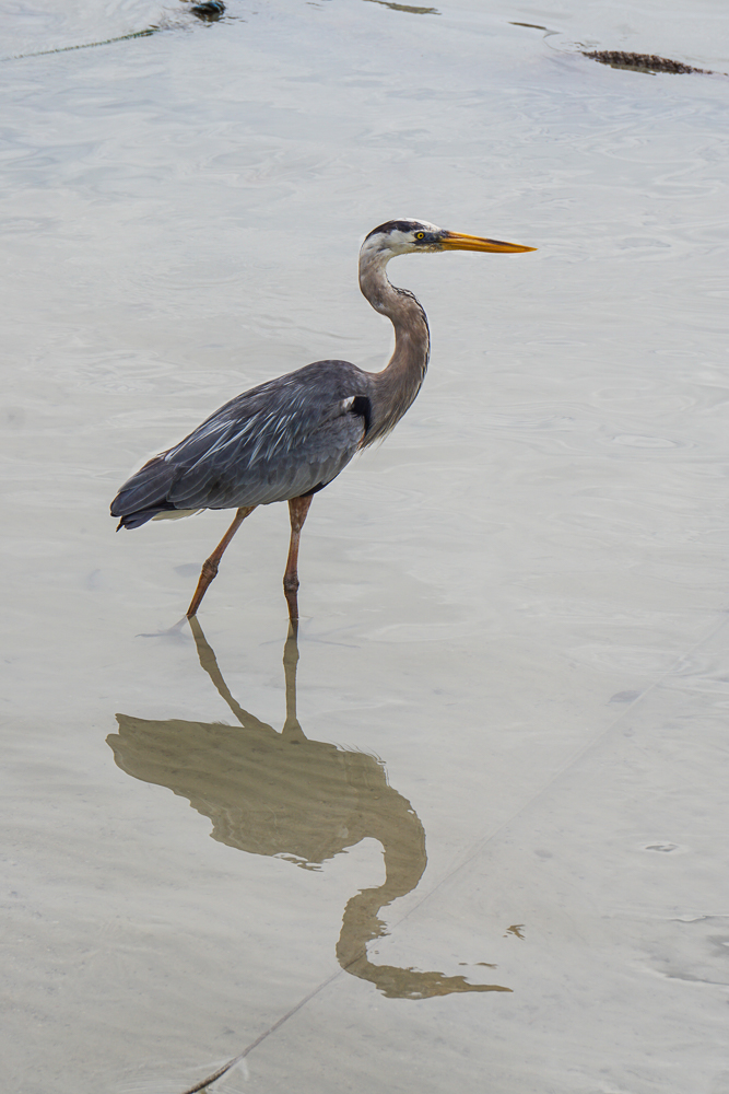
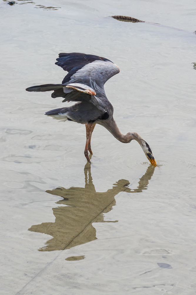
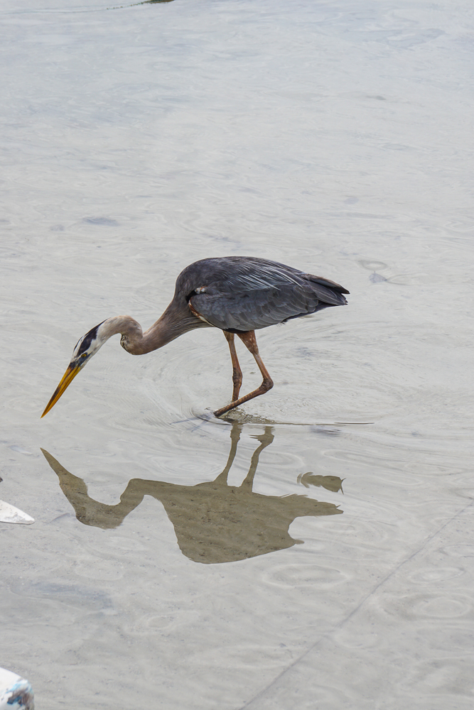
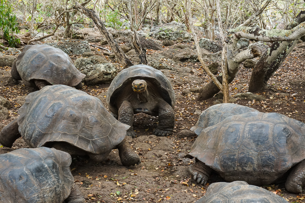
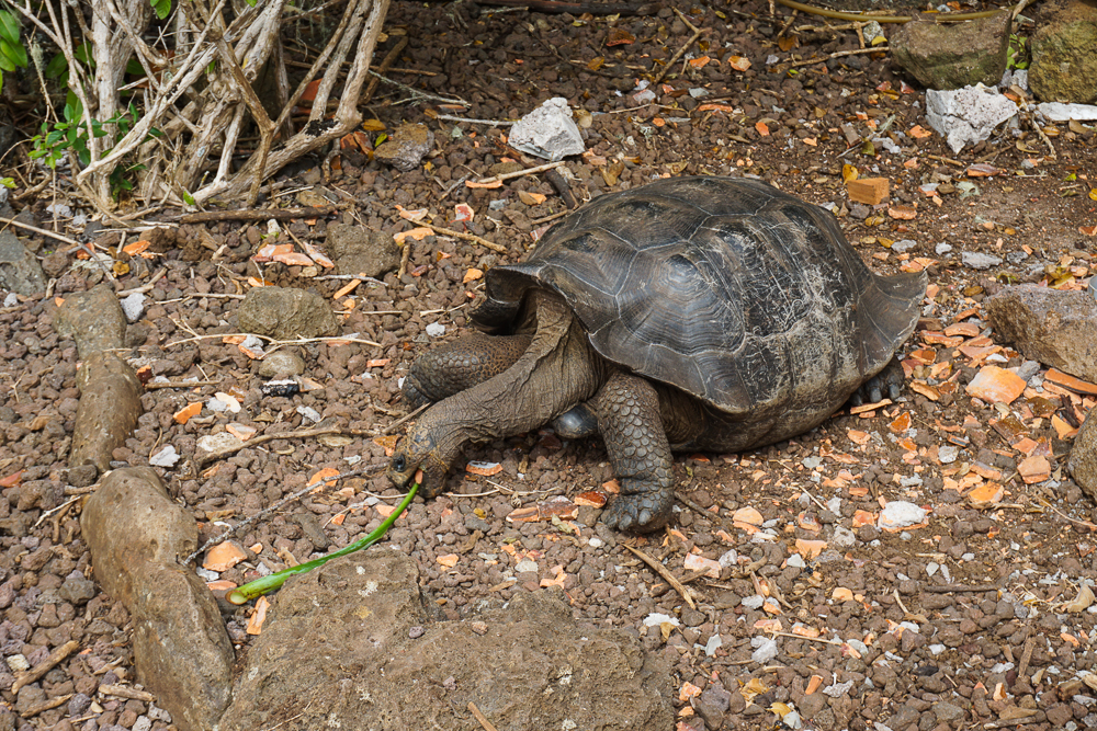
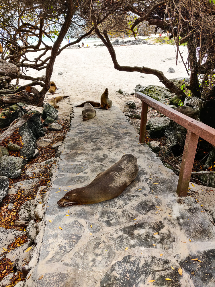
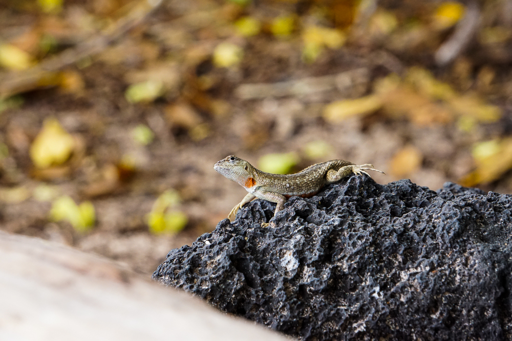
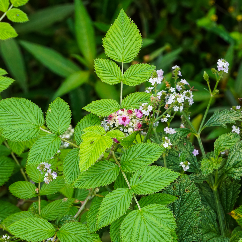
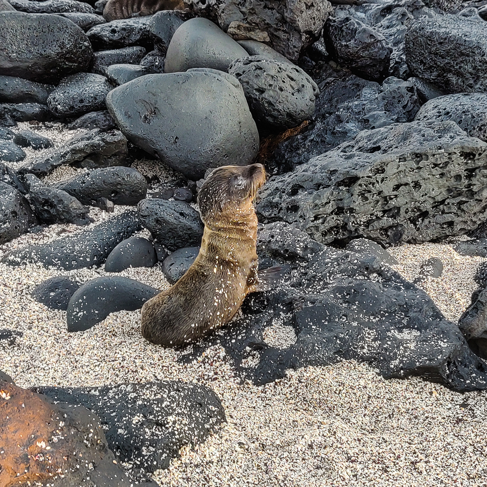
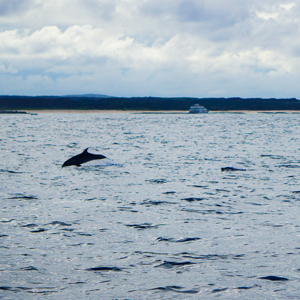
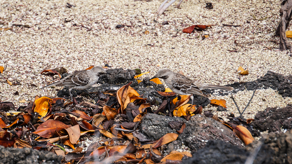
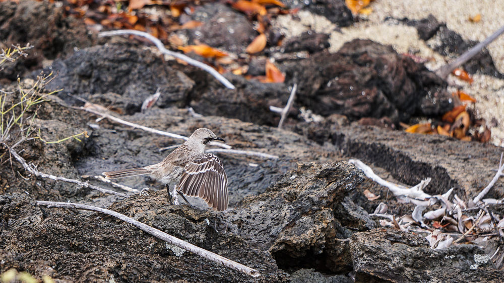
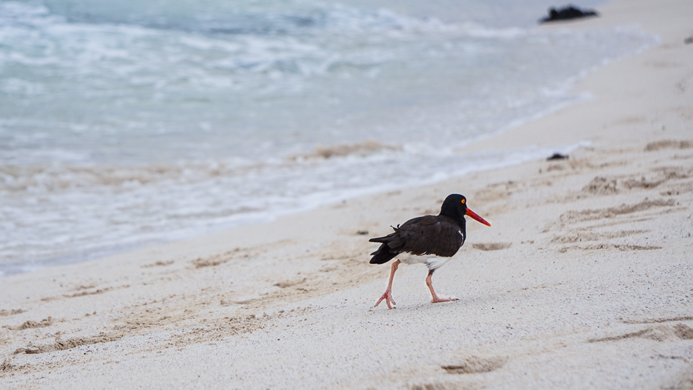
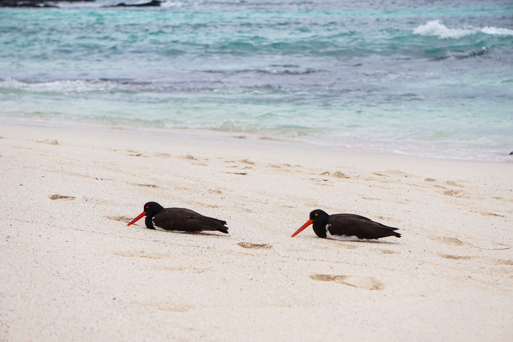
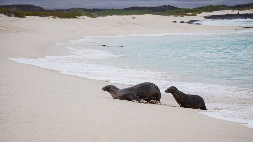
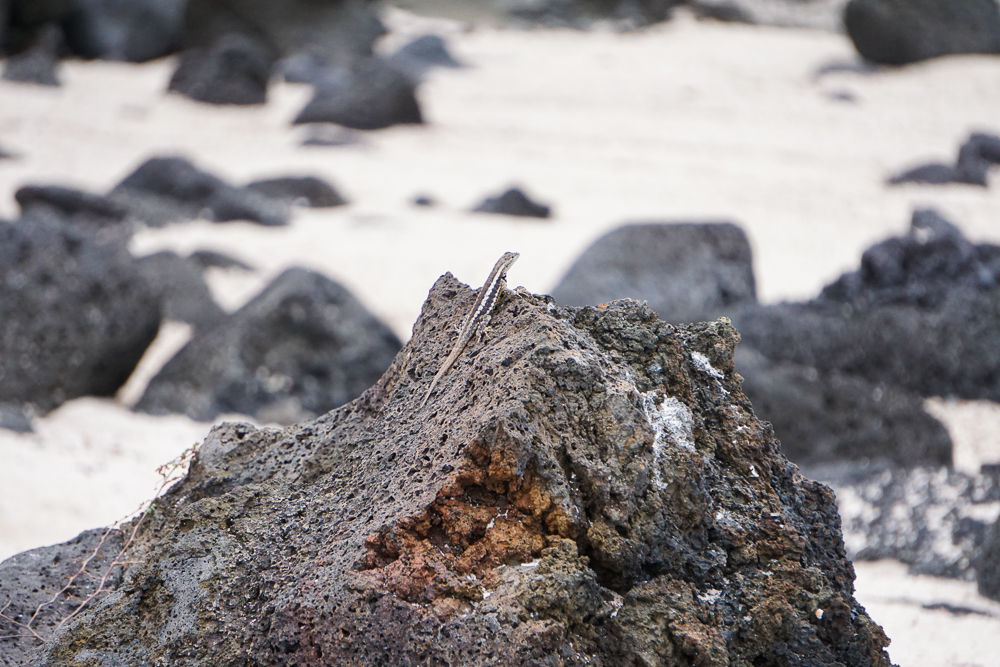
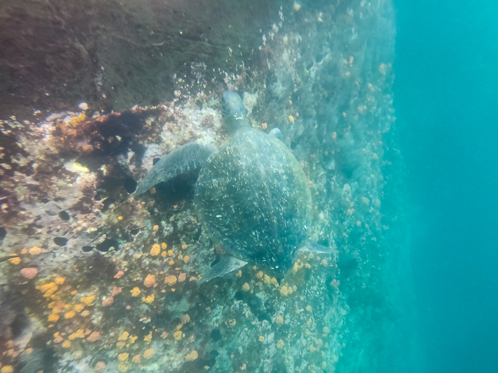
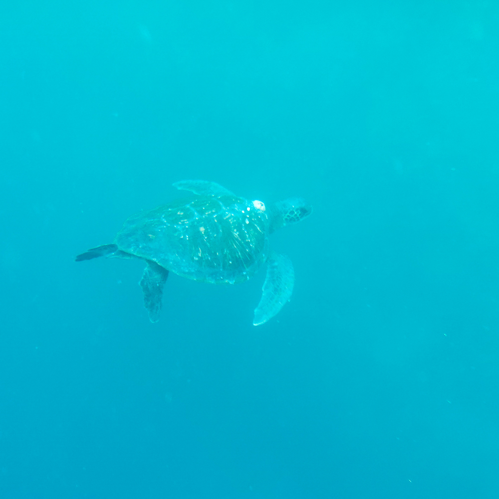
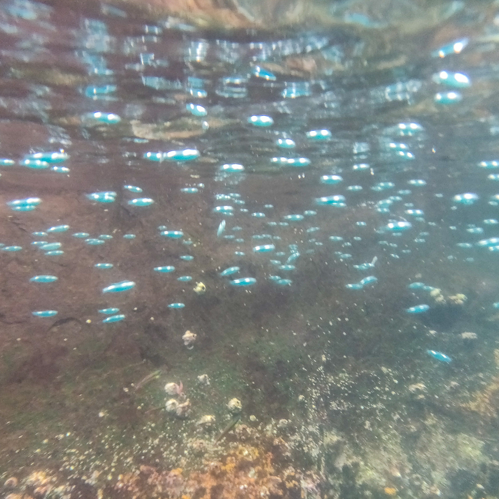
GUESS WHAT? We finally saw some animals!!! No bears (somewhat to my dismay… I’m not crazy, though. I was hoping for a distance bear-sighting. Like across a river or on the opposite side of a valley. But alas, we didn’t even get that). These animals were much smaller and less potentially threatening. One marmot and a few prairie dogs. They were all very cute. Some people who wrote reviews of the trail said to watch your stuff if you put it down because marmots might come for your food. Ha! They look a lot like groundhogs. So did the prairie dogs, actually. And they all make various squeaking noises. As you might imagine, this made them incredibly intimidating (not! They were adorable!).

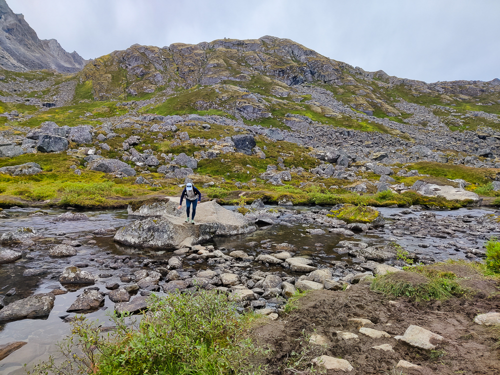
All in all, the hike wasn’t too bad. There was definitely some good elevation, but since so much of it was rock scrambling and walking on boulders, it was easier than just hiking uphill. I enjoy that type of terrain because it makes things a little more interesting and distracts you from the fact that you’re also going up. And we only got REALLY off course once when we realized we were on the complete wrong side of the river and had to innovate a river crossing. Not our worst, though!
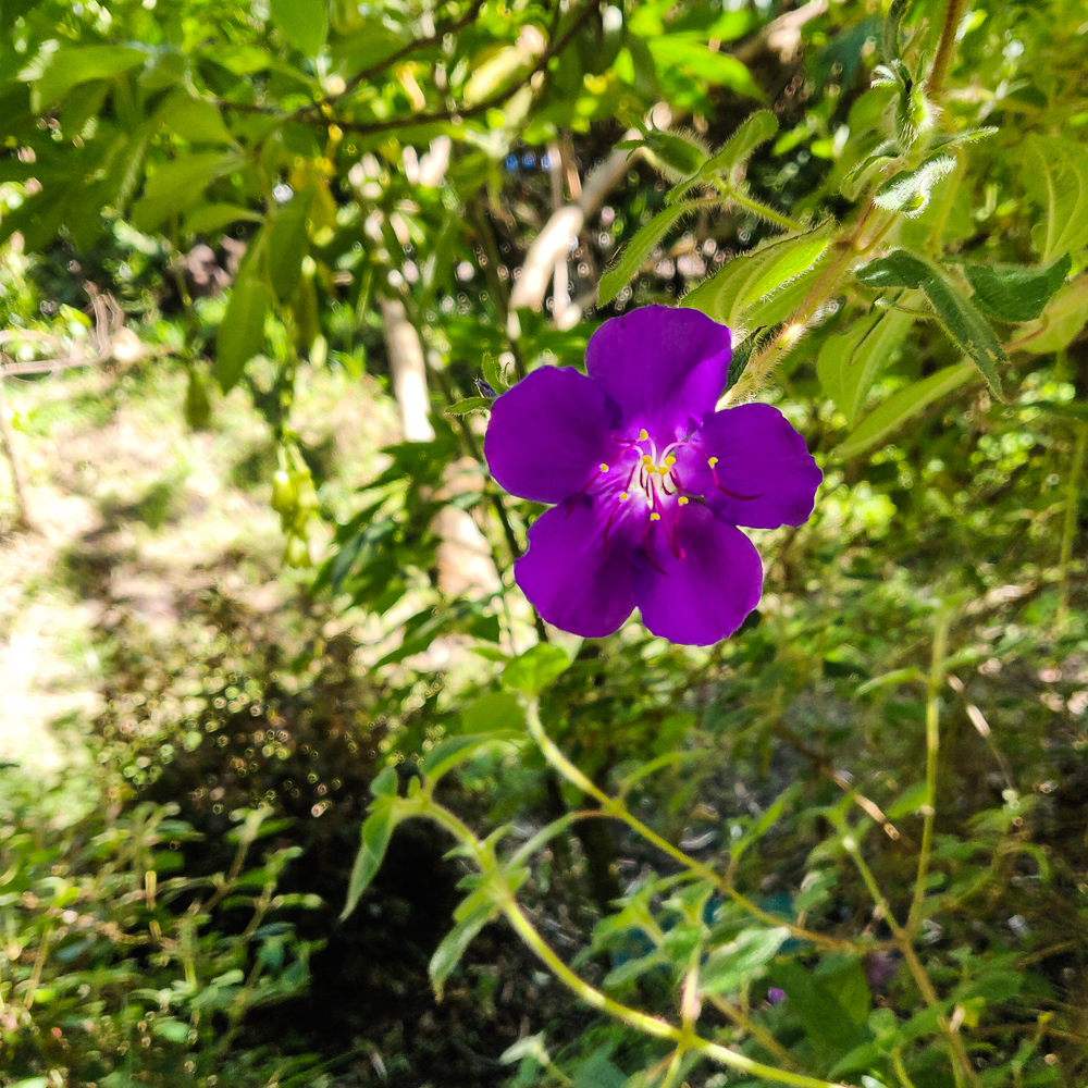
The entire time, we were commenting on how insanely beautiful our surroundings were. I had that feeling I always get when I’m in a setting like that… like it’s so beautiful that I can’t even stand it. My heart aches out of an almost longing? Or a desperate feeling that I need to find a way to preserve it or store it so that I can keep it with me forever. I want to bottle it up and take it with me. I don’t know how else to explain it. The same thing happens to me a LOT in the fall when the leaves are changing. I mentioned something to Olivia, and she said that sometimes when things are so beautiful, she gets almost angry. That sounds insane, but I can relate… for me, there’s a part of me that’s mad that I can’t always see it and that it won’t always be the same.
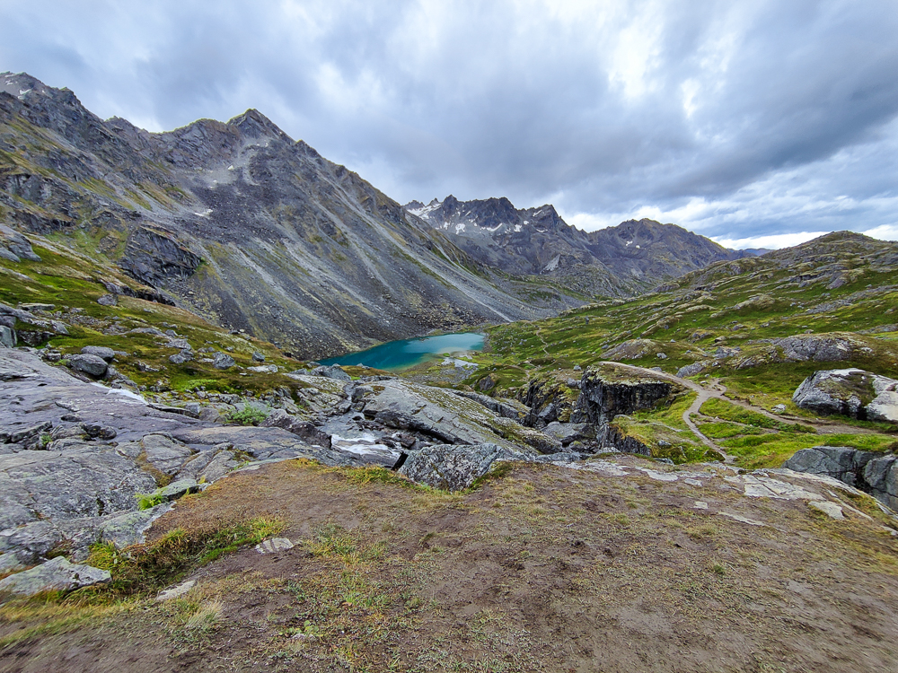
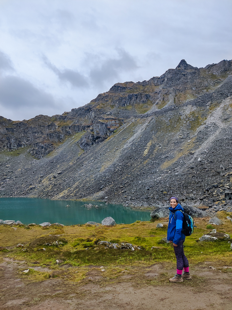
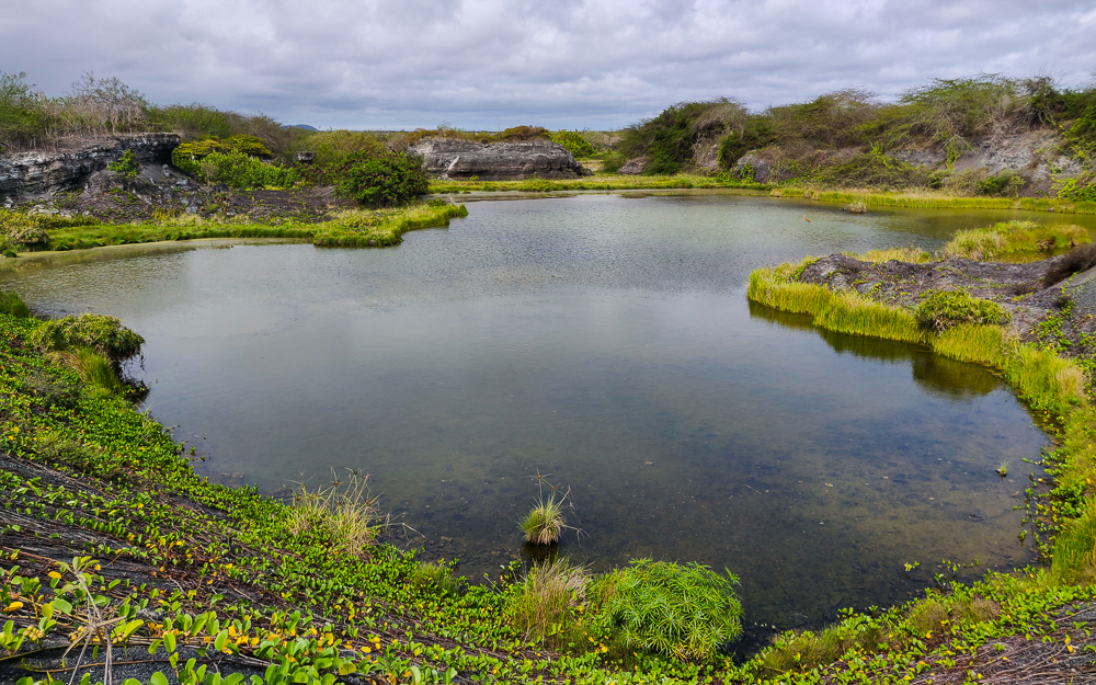
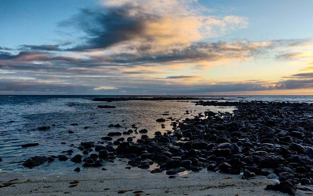
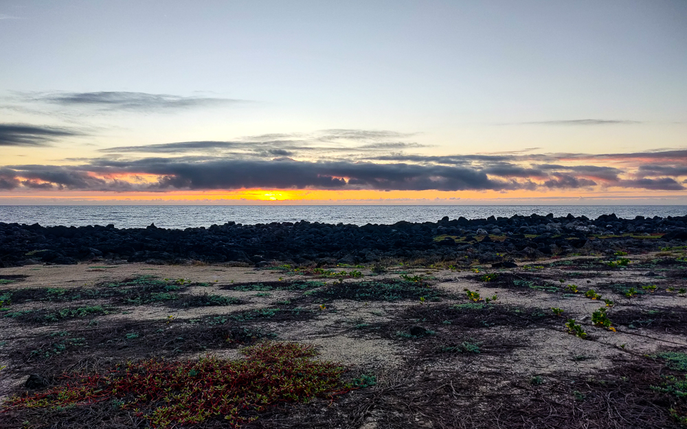
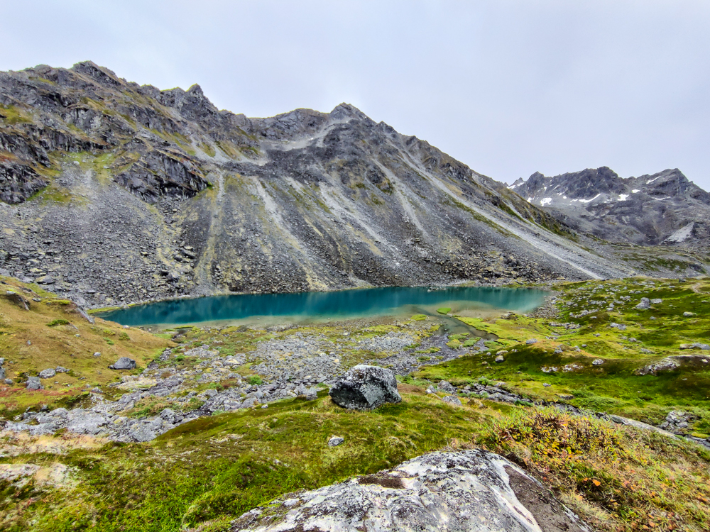
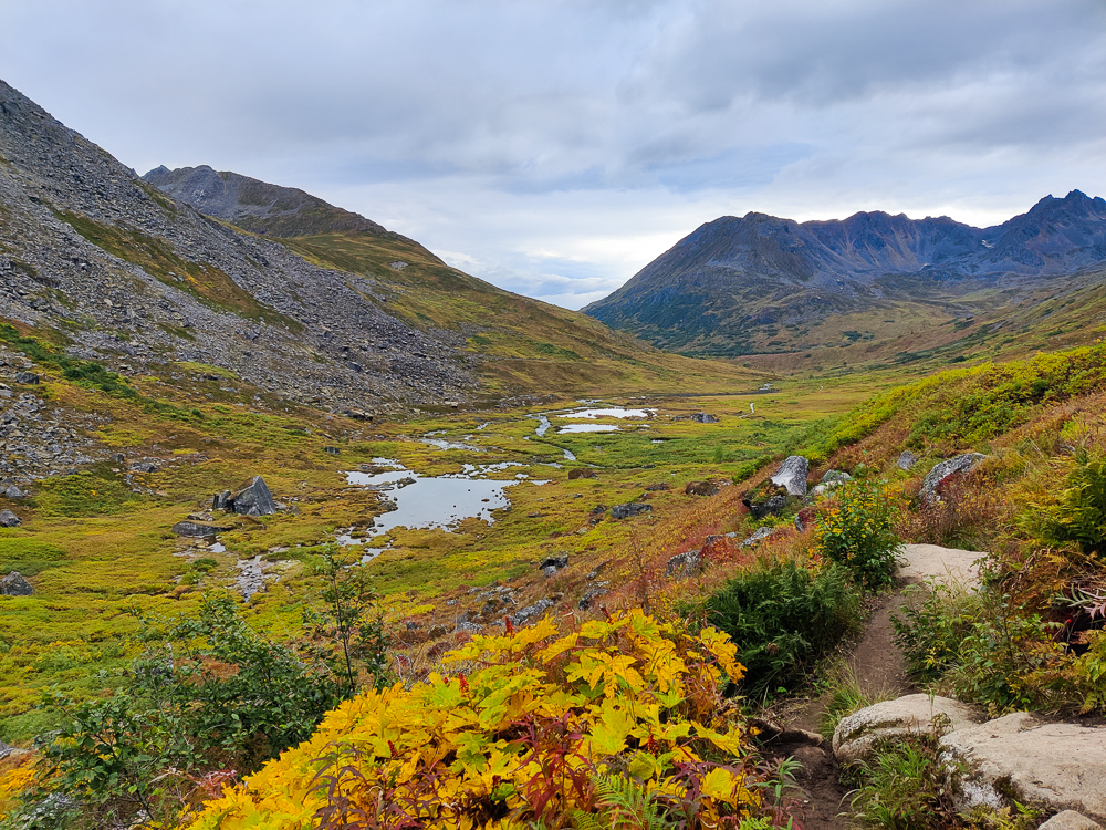
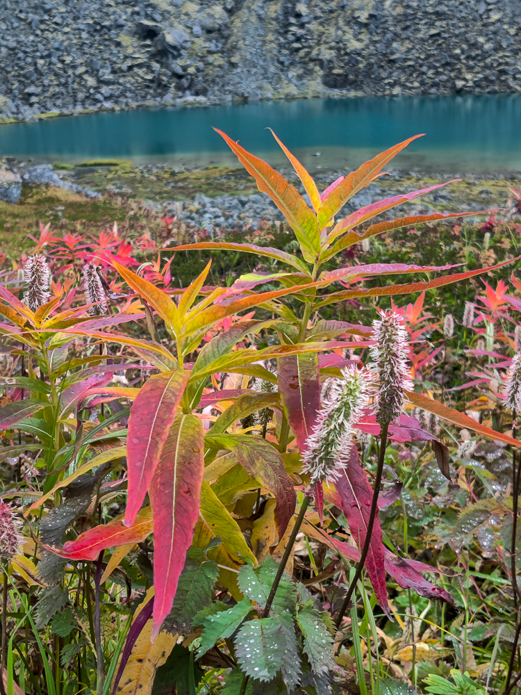
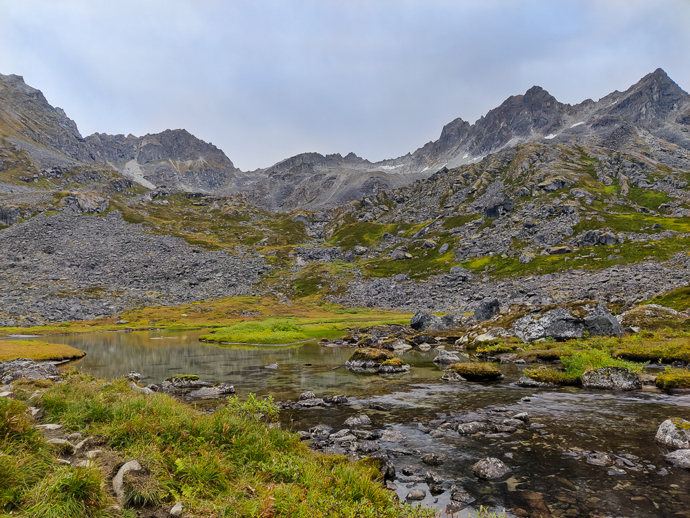
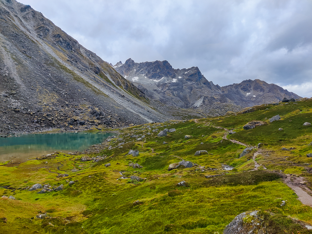
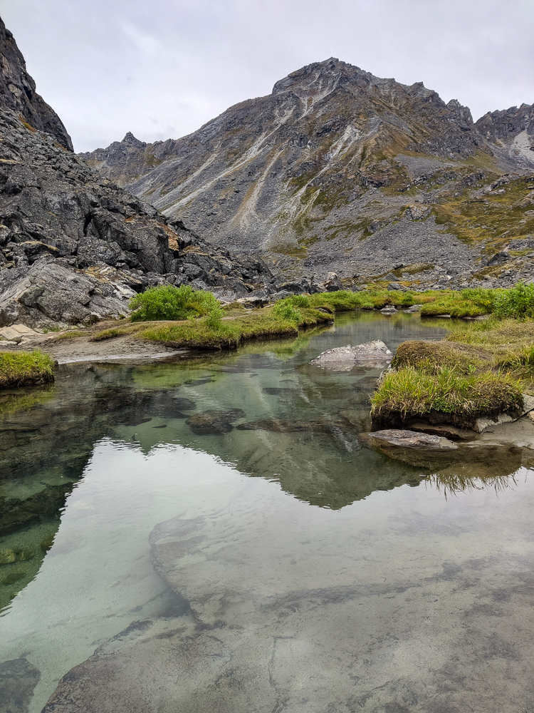
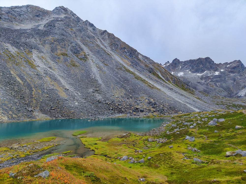
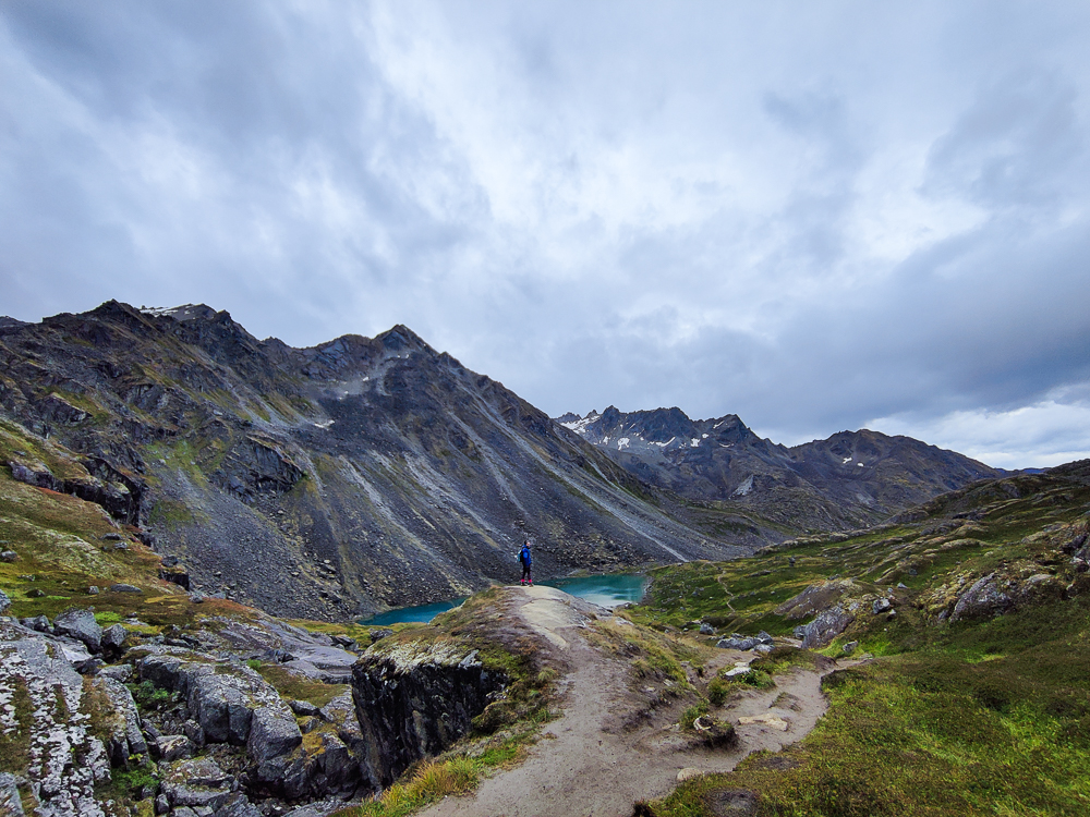
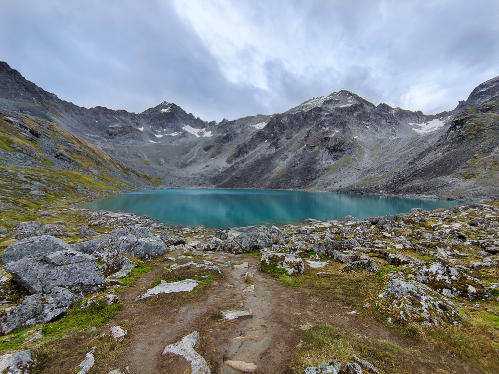
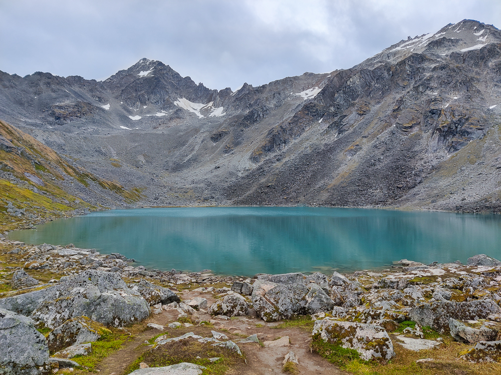
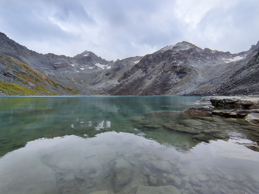
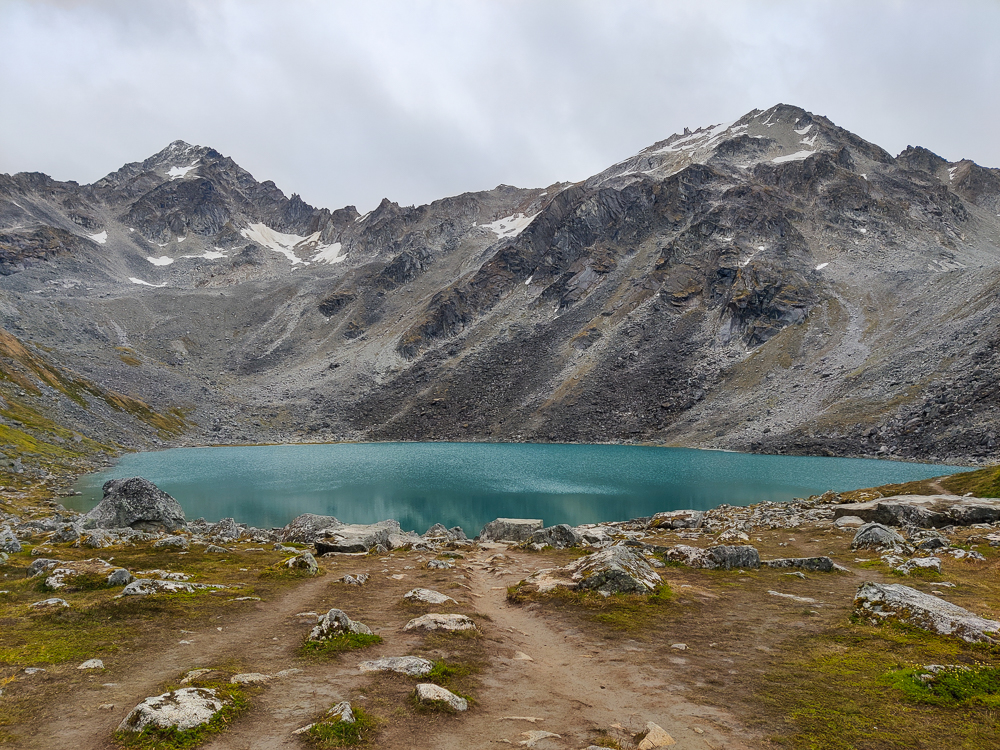
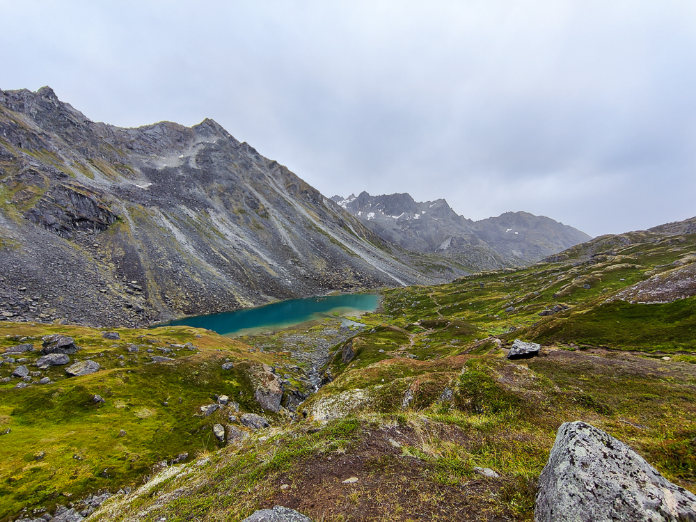
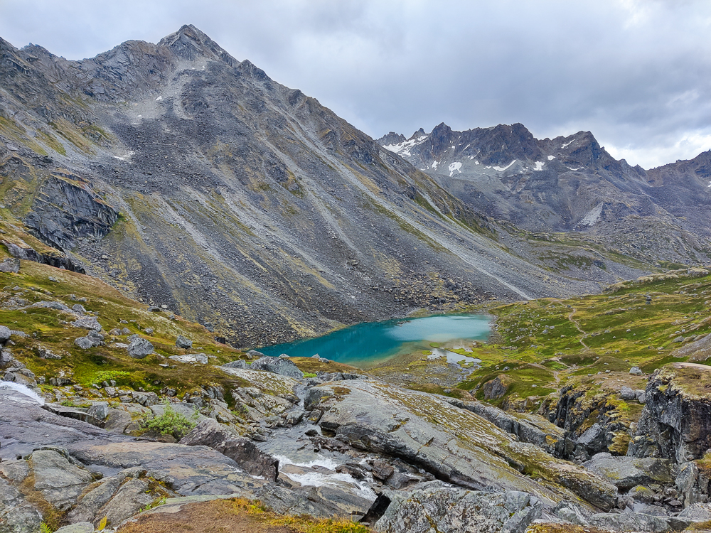
You may have guessed from the name of the hike that we got to see some lakes as well. There’s one major lake along the way (SO PRETTY), and the trail ends at another one nestled in the mountains. As you approach the end, it feels like you aren’t even close, like you’ll be hiking endlessly because there’s no final destination in sight… then, you go over a ridge, and BAM! A huge, beautiful lake comes into view.
I love hikes like that, where you really can’t get a good handle on where you’re headed until you’re there. Most hikes are straightforward. Like if you’re hiking to the peak of a mountain, you can usually pause along the way and see the view unfolding as you ascend. But with a hike with a hidden lake or waterfall or a view over a mountain or something similar, there’s no going partway and feeling like that was enough. You don’t even have an inkling of what awaits until the moment of the big reveal. Then, you turn that corner or crest that ridge, and for a moment, it’s like the world stops. “How could that have been RIGHT THERE all this time?” you think. It feels like you’re being let in on a secret.
Eventually, it’s time to go. As you walk away, it’s like you’re walking through a portal back to the normal world. The curtains close behind you, and the lake is gone without a trace.
In general, I can’t get over how little justice the photos do to the views. We took SO many pictures, and they look amazing, yet they’re all missing something. I think it’s because a picture can’t convey that feeling of vastness surrounding you and the smallness you feel when you’re in the middle of it. As disappointing as it is to not have the ability to reproduce the beauty completely, at the same time, it’s kind of a gift. It makes it worth visiting a place even when you’ve seen it in pictures. You can show people what you saw, but a part of the experience is kept sacred, shared only between you and the other people who have been there. That’s kind of beautiful, I think.
We ended up getting insanely lucky with the weather. We got rained on a little, but I think it was the least of any of our big hike days. It was never very heavy, and it didn’t last very long. Thank goodness for that because we realized this would have been one of the worst hikes to do in the rain. Between the walking on rocks and the already muddy trail, we didn’t need any more slip factors entering the equation.
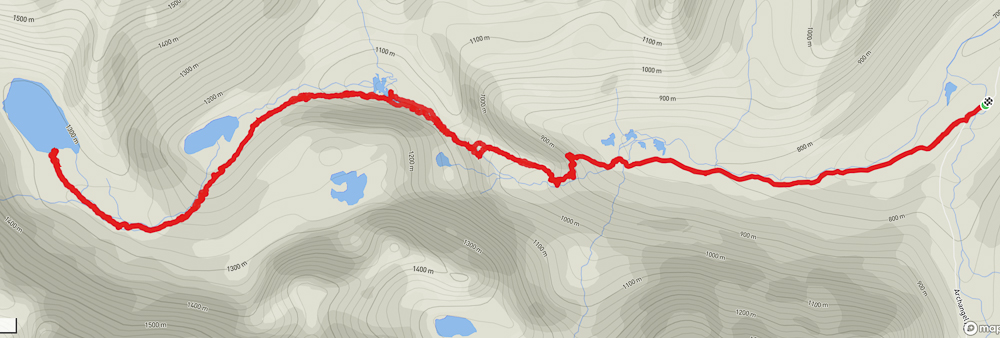
In the end, the hike was about 9.8 miles long (15.8 km) with 2,100 ft of elevation (650 m). Supposedly, according to the trail guides, it’s an 8.6 mile hike, but that’s apparently not what we did. I can’t imagine we added a full mile with our wanderings, though. That would be crazy. The most sensible conclusion is that the guides are wrong.
ANYWAY. Needless to say, we were drained but happy when we got back to the car. We had about an hour and a half drive back to Anchorage, and Olivia’s mom was once again the hero of the night. We got back to the house around 9, and dinner was waiting for us. Moms are the best.