Machu Picchu day!!! After three days of visiting ruins all over the region, everyone in the group was excited for a day of… visiting ruins! It may seem like you’d eventually get to the point where you’re like, “Ugh, MORE???” but at least for me, I’ve seen a LOT of Inca ruins and am still not tired of them. It’s not just me, either! My parents, Benjamin, and Jocelyn all said that they were surprised by how different all of the sites we visited were and happy that we saw as many as we did.

Anyway, like I said, we were all excited! When my alarm went off at 4:30AM, I practically leaped out of bed I was so pumped! Okay, that’s not true. Is it even physically possible to leap out of bed at 4:30 in the morning? Instead, I grumbled, forced my eyes open, and prayed that my alarm was set to the wrong time. No such luck.

By 5AM, we were walking from our hotel to the bus stop to ride up the mountain to the ruins. The bus line was already shockingly long, even though the first bus didn’t leave until 5:30. Luckily, it’s probably the most efficient operation in all of Peru, and even though we were on maybe the fourth bus, we still were at the site by 6:05, only five minutes after our ticket time. Impressive!

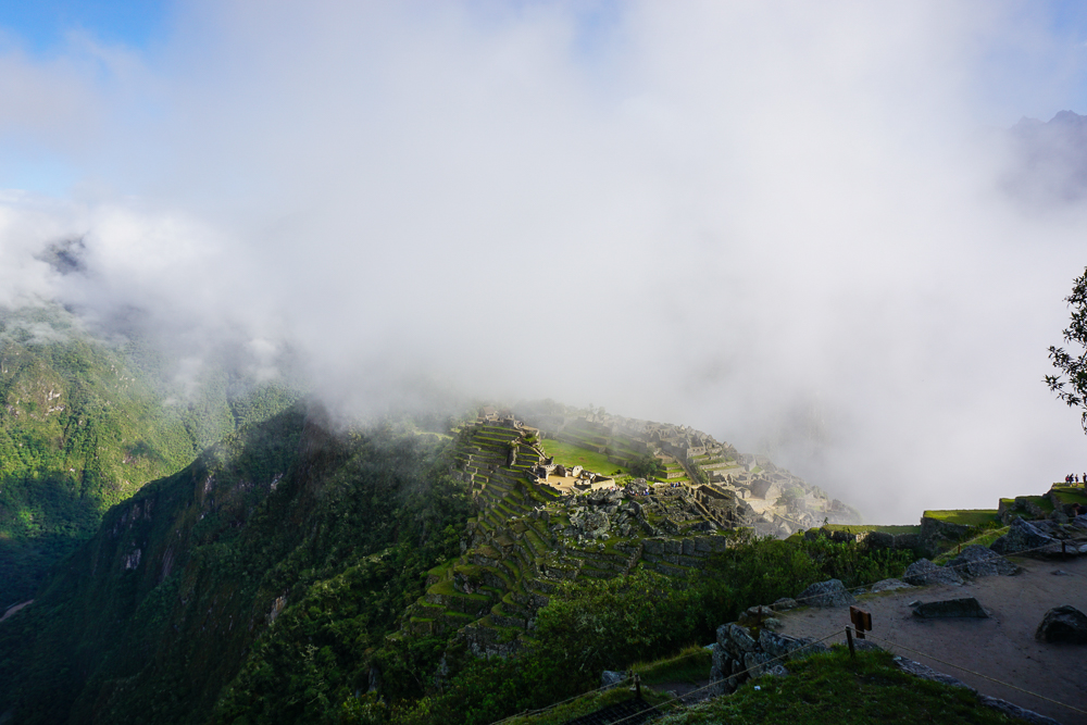
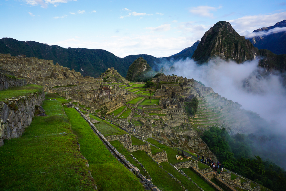
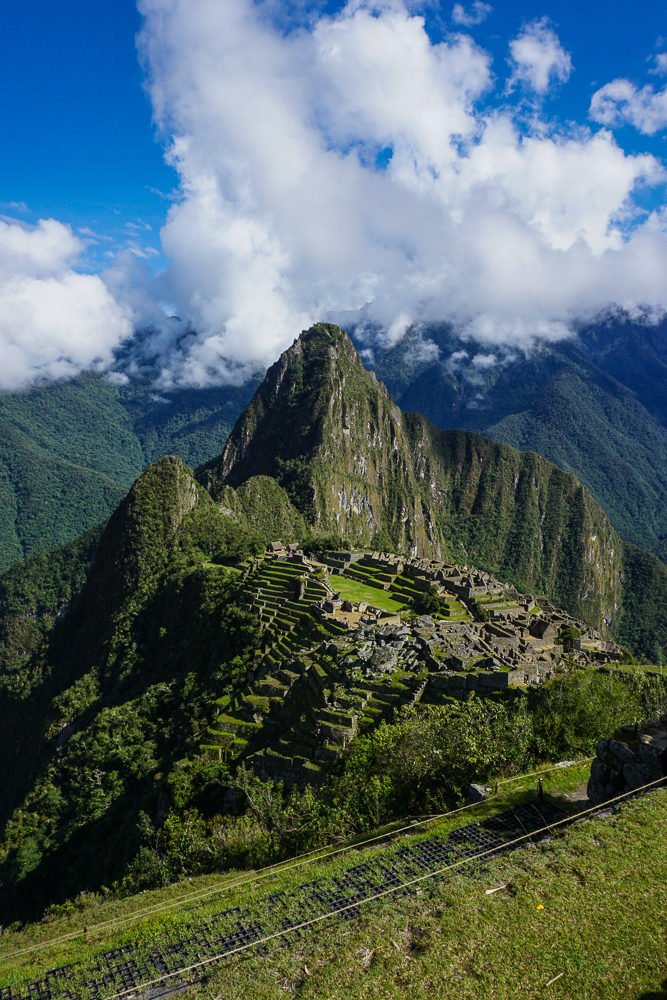
Once we entered the site, my parents and I parted ways with Jocelyn and Benjamin so that we could all go at our own speed. They were also hiking up Machu Picchu Mountain, something we were definitely NOT doing (I did it last time I visited Machu Picchu… it’s literally ALL stairs. Endless. Stairs). We were, however, planning to do the two non-ticketed hikes to the Inka Bridge and the Sun Gate. As we walked up the mountain to the start of the first hike, we stopped at some viewpoints overlooking the site. The weather was a little iffy, but I was hoping the sun would clear out the clouds as the day progressed.
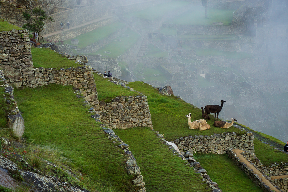
Alpacas, enjoying the morning mists.
The fog sure gives the site an eerie quality, doesn’t it?

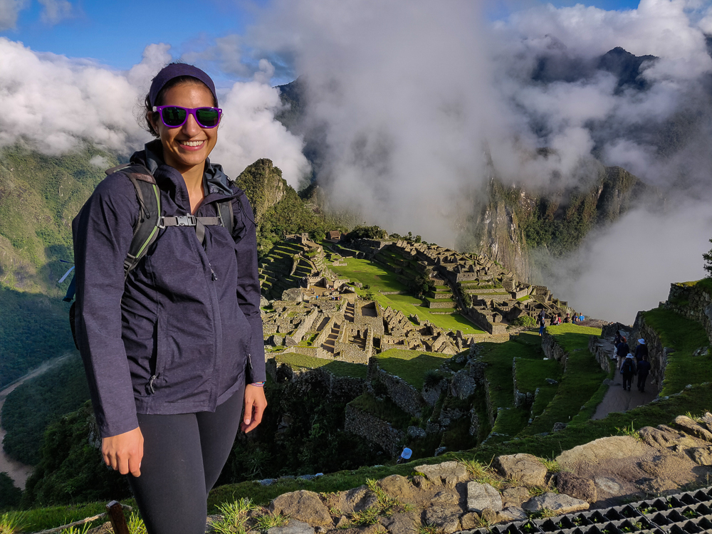
Machu Picchu is one of those places where they tell you to dress in layers and be prepared for a year’s worth of seasons in one day. We were a little worried when we walked in and felt like we were inside of a cloud, but the fog was moving fairly quickly, and we had some moments of good visibility. The key word is “moments”. At one point, while enjoying a clear view of the citadel (what they call the “town” part of the site), I started getting overheated and decided I needed to ditch some layers/apply sunscreen. By the time I finished my wardrobe change, a thick fog had rolled in, completely blocking the view again… and the sun. I put my jacket back on. Dad was laughing at Mom and me because we did two outfit changes without even moving.
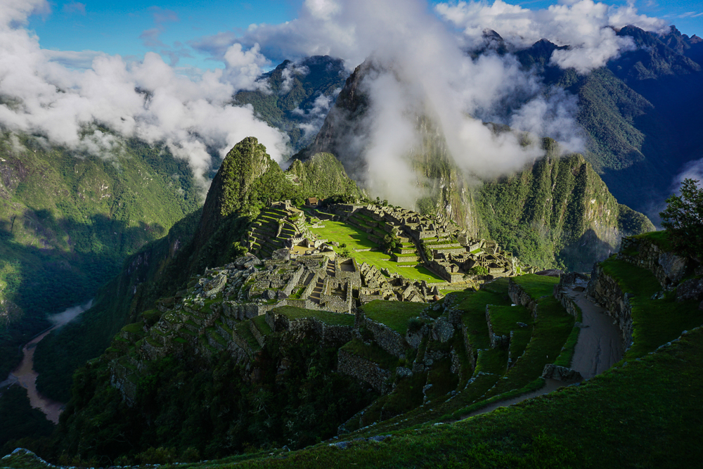
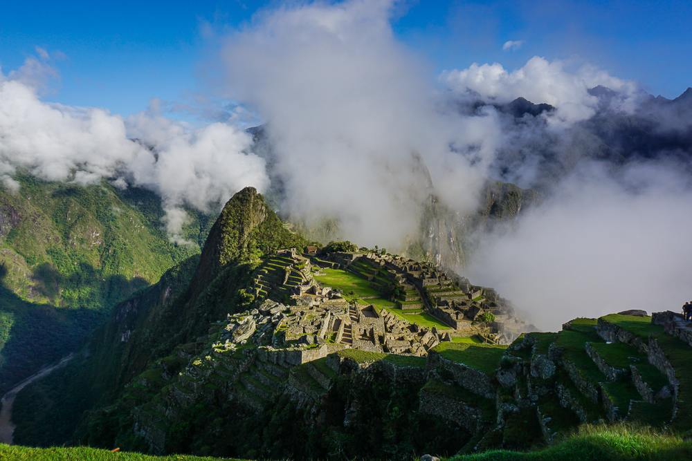
Kind of a clear view, but don’t let yourself be fooled.
Here comes the fog!
Byeee, Machu Picchu!
This was after my layer-shedding stop… as you can see, I’m still looking quite bundled, and the mountain is looking a little cloudy.

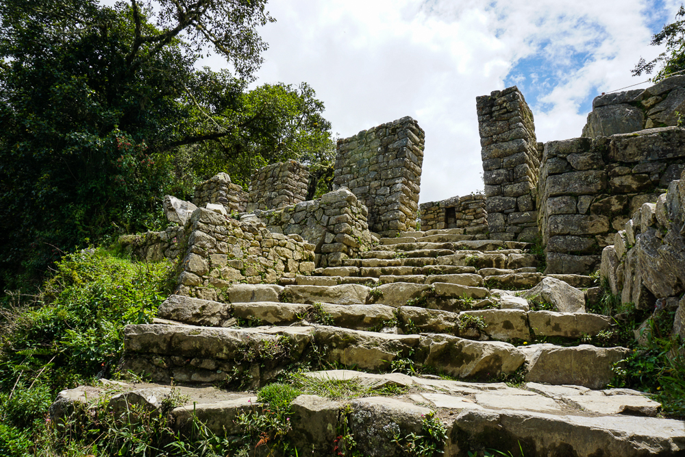
Our first hike was to the Inca Bridge. In my memory, it was completely flat and not hard at all. With my new parent-oriented eyes, I saw that my memory wasn’t quite reliable. On the way to the trailhead, there are these terrible stone steps of all different heights. Some are mid-thigh high, and you wonder what kind of giants the Incas were… even though you know they were probably shorter than you, so the stairs DON’T MAKE SENSE. They were definitely in prime physical condition, probably thanks to running up and down those ridiculous stairs all the time.

After the trail starts, there’s a little up and down, but it’s not too bad. The good news is that the view is majestic, so at least there’s something to distract from the walking.
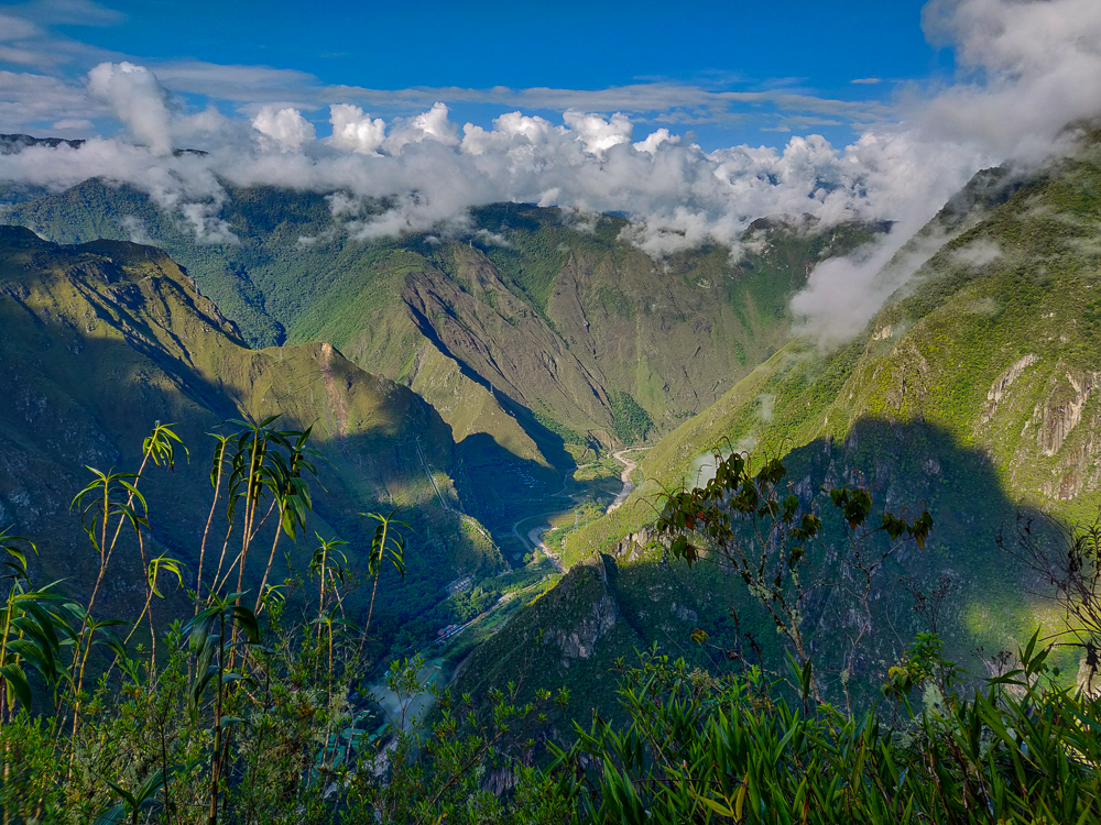
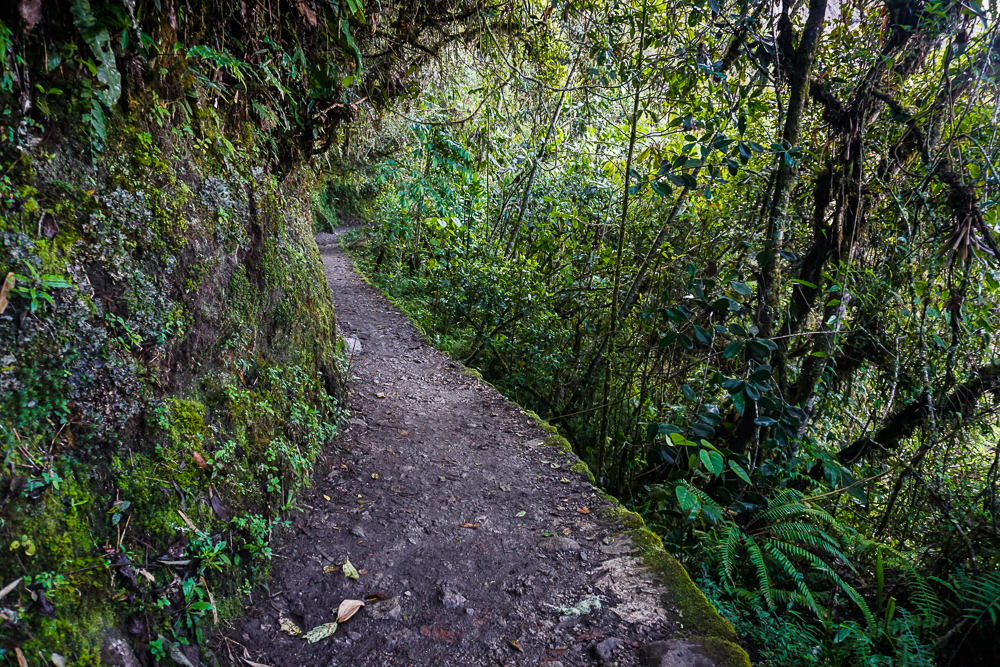
View from the path to the Inca Bridge.
It’s a pretty nice path, and there’s lots of plant cover! It feels a little rainforest-y.
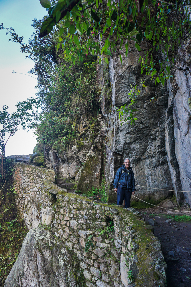
Dad on the way to the Inca Bridge. See? Nice and flat-ish.
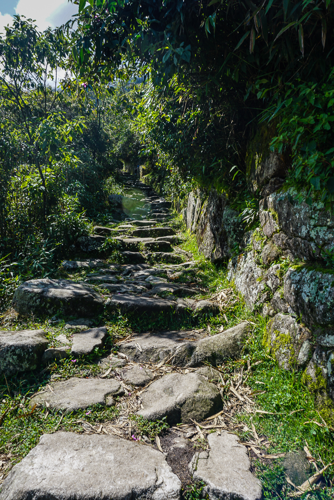
In contrast, here’s a preview of what we hiked up later in the day on the way to the Sun Gate. Some portions of the trail have stairs, like these, and others are just inclined. But no matter what, you’re going up.

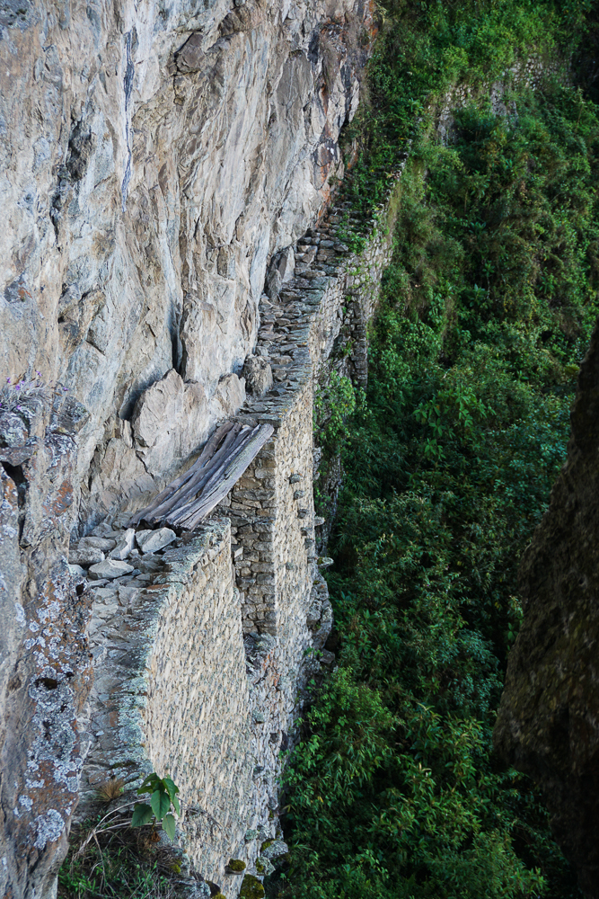
The Inca Bridge itself seems kind of underwhelming, but conceptually, it’s pretty darn cool. A narrow path was built onto the side of the mountain, potentially a secret army entrance to the site, with one 20-foot gap in the path bridged by a long piece of wood. If invaders were coming, the wood could be removed, like a drawbridge, to cut off access from that path.
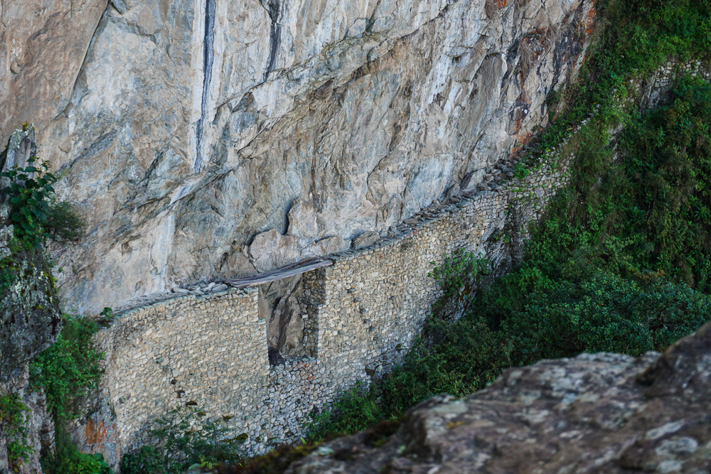
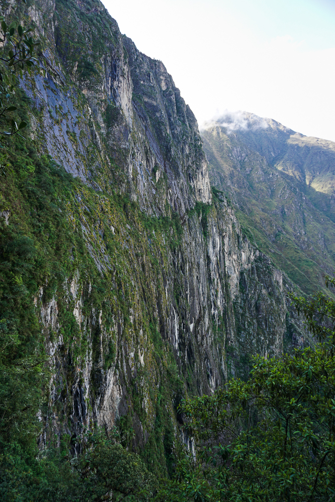
The Inca Bridge from a distance. How on earth did they build that path?? You can’t even see the bottom because of the plants, but my goodness what insanity.
These are some super cool-looking mountains!
I’m not afraid of heights, but I don’t know how I’d feel about 1. walking with only that narrow stone path keeping me from falling to my death, or 2. walking across those wobbly-looking boards. Err. Maybe not.

From there, we set off on our more ambitious hike of the day to Intipunku, or the Sun Gate. For Incas coming from Cusco along the original Inca road (or for people hiking the Inca Trail today), Intipunku is the first point from which you can see the site. It’s quite the view. It’s also crazy to think that you’re walking on a road built over 500 years ago! Back in Inca times, the roads were only open to people traveling on state business, so it was an elite few who had the opportunity to travel the breathtaking path from Cusco.
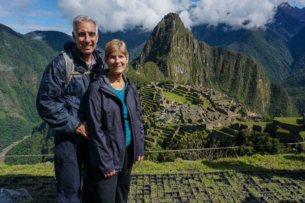
Mom and Dad, post-Inca Bridge and pre-Sun Gate. That’s why they still look happy…
Yay!! The day cleared up beautifully.
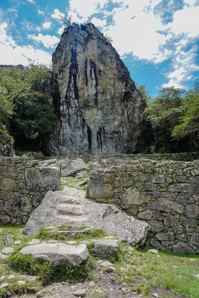
A cool-looking rock along the path.

The hike to Intipunku from the ruins is all uphill with an elevation gain of nearly 1,000 feet (240 meters). I wanted Mom and Dad to get the perspective of the site from above, and this hike is way easier than going up Machu Picchu Mountain (the other option). I told them that we could go at whatever speed necessary, and if they didn’t want to go all the way there, that was fine. Hiking at nearly 8,000 feet (2,400 meters) of elevation is rough! And that’s the elevation at the trailhead, not the top! High-elevation hiking really redefines the word “breathtaking”. We did a LOT of breath-taking and not a lot of oxygen-getting. Honestly, that’s the hardest part of the hike. The uphill isn’t fun, but it’s doable. The added challenge of limited oxygen just really doesn’t help.
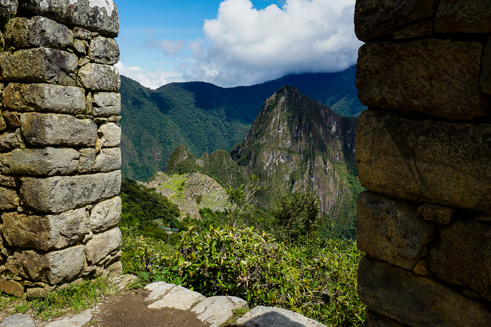
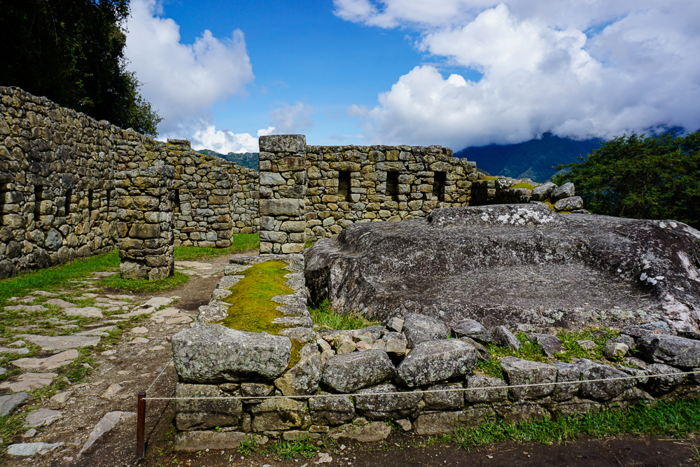
Looking down at the site through some ruins along the way.
I don’t know what this is, but it’s along the path to the Sun Gate and isn’t it pretty?

We kept chugging away, one step at a time. We stopped whenever anyone needed a break. I wasn’t in a rush. The people coming down as we were going up were very encouraging, saying things like, “You’re almost there! Only another 30 minutes.” Mom said that they had a different definition of the word “almost”. Hehe. We passed a woman who gave up maybe 10 minutes from the top. Her ‘encouragement’ was, “The worst part is ahead.” Gee, lady. Thanks a lot. Mom wasn’t fazed. She said, “I’m not giving up this close to the end.” Yeah, Mom!!!
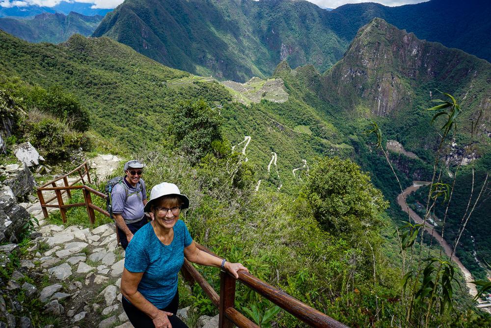
The final stretch… stairs!

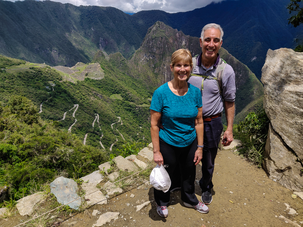
We made it. And Mom and Dad both said that it was worth it, so that was a relief. It was only about 10:30AM when we finally arrived, and it felt like we’d already lived an entire day! We took a break at the top, enjoyed the view, and ate some snacks before heading back down the mountain. That had its own challenges because the rocks can get a little slippery, but there were zero falls which means it was a double success. By the time we made it down, we had already been at the site for 6 hours. Ha. We definitely got our money’s worth!

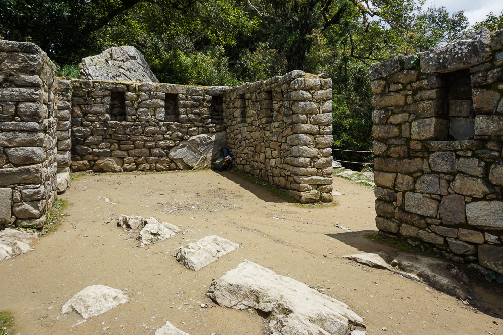
So close you can almost taste it!
The Sun Gate. And some random guy’s backpack.
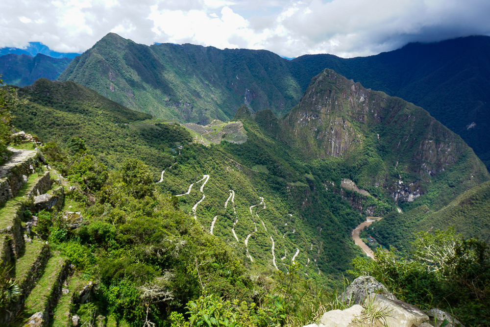
View of Machu Picchu from the Sun Gate. You can also see the switchbacks of the road that the buses have to drive up to reach the site.
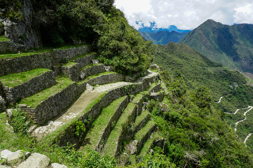
Terracing near Intipunku.
Tired and happy!

Everyone had a teeny bit of energy left, so we headed into the citadel to check out the ruins before calling it a day. Next time, get ready for a tour!

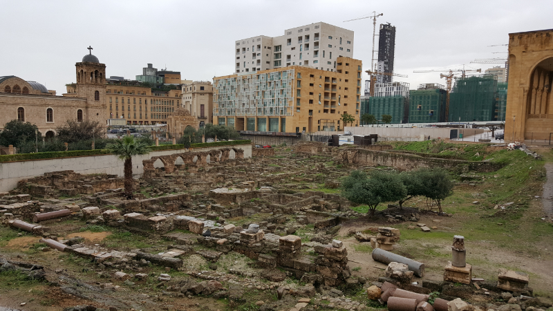
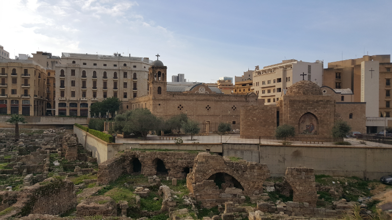
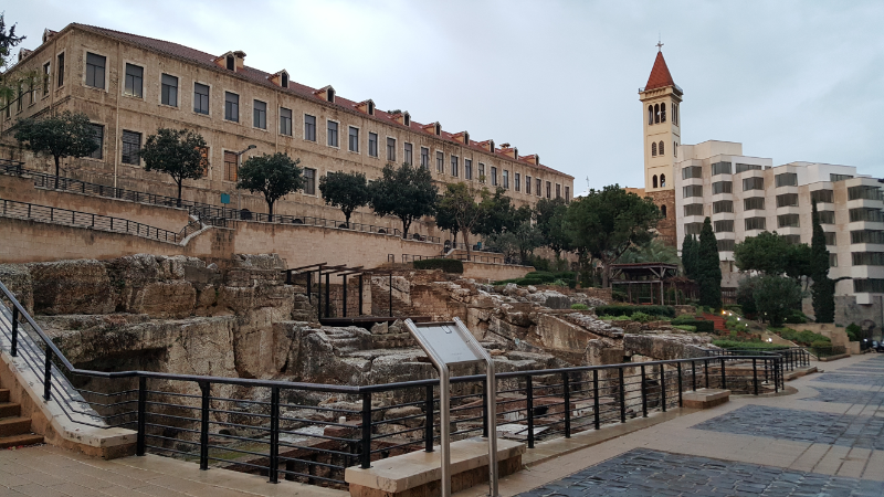
Ready for more walking? How about more rain, some ruins, and a little bit of everything else? I left off my last post at St. George Maronite Cathedral in downtown Beirut. Directly next to the church and Al-Amin Mosque, there’s a large area filled with ruins! At the moment, it doesn’t look like much besides a grass-covered pile of rocks. There are a few columns standing, but besides that, it’s hard to tell what exactly is there. Supposedly though, the ruins date back to the Hellenistic period (around 320BC – 30BC) and have layers from the Roman, Byzantine, Umayyad, Mamluk, and Ottoman times as well.

Future Garden of Forgiveness

The site was discovered during the post-civil war excavations. There’s a procedure to follow when ancient ruins are found during construction: construction halts, the authorities are notified, and archaeological excavations are undertaken until they are considered complete. Then, a decision is made about what will happen, based on the findings and secretly probably the level of influence of the developer. The ruins are either left in place, moved, or demolished to make way for the construction.

These particular ruins have been set aside in the Beirut master plan as an area to be left unbuilt. The intersection of the Roman city’s two major streets was found there, and archaeologists also think that the famous Roman law school was located nearby. They haven’t found the school, but they know it was next to a church whose ruins have been located. There was a competition to decide what to do with the land, and a plan for creating a “Garden of Forgiveness” was selected. The project hopes to be “a step towards social harmony in Beirut by raising awareness about the need to resolve historical grievances”. The plan integrates the ruins and also includes lots of trees and water features and other things that I guess are supposed to suggest peacefulness and harmony. The construction is currently on hold though, so for the time being, the overgrown pile of rocks is here to stay.

The ruins with St. George in the background
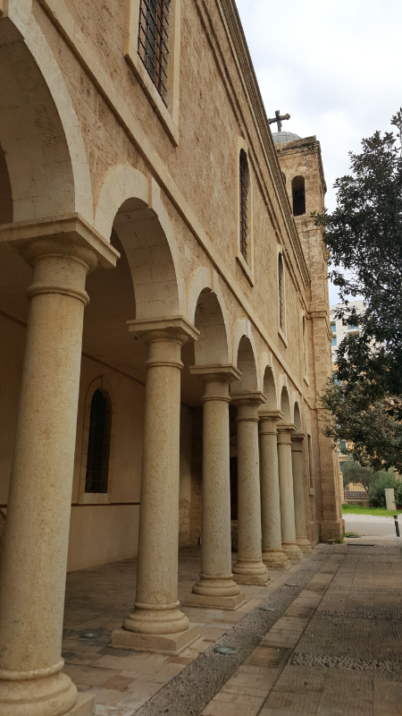
Outside of St. George

There’s ANOTHER St. George church on the other side of the ruins, St. George Greek Orthodox Cathedral. It was originally built in the 1760s, but there had already been churches on the same site for hundreds of years by then. The first known church there was built in the 5th century AD, and that’s the one I mentioned that they know was located next to the Roman law school. That church was destroyed along with the law school in the 6th-century earthquake, and a new church was built in the 12th century. Another earthquake in the 18th century destroyed that one as well, and another new church was built. During the civil war, the church was shelled and left in ruins. Geez. Talk about bad luck.

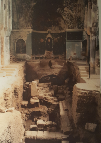
When they decided to rebuild the church in the 1990s, they used the opportunity that the ruined church presented to conduct some archaeological excavations before reconstruction. Over about a year and a half, archaeologists worked to uncover and decode the layers of history underneath the church. They found the ancient cathedral, plus evidence of other churches built on the site. There are also graves, remains of a paved street, and columns that used to line the colonnaded streets of the Roman city.

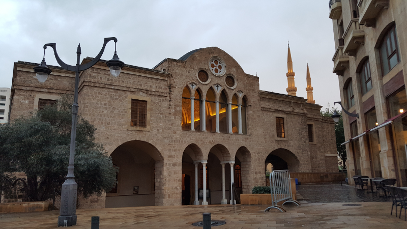
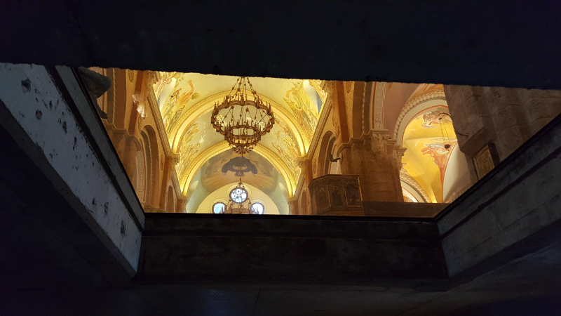
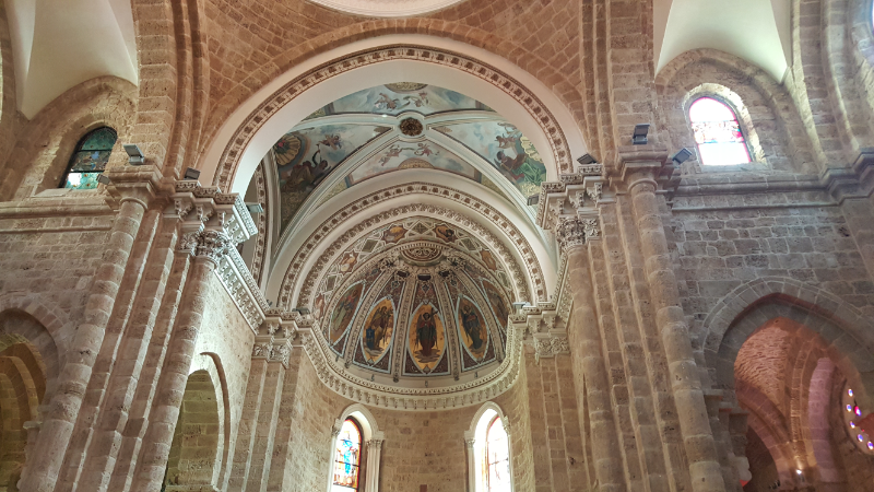
St. George Greek Orthodox Cathedral. I just think this is the coolest picture ever with the lights and the frescoes visible through the windows.
Excuse this picture of a picture, but I thought it was really cool because it shows the church with the floor all opened up during the excavations.

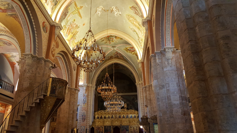
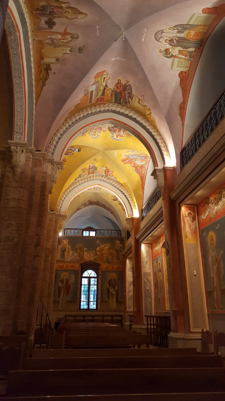
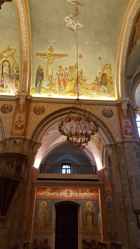
After the excavations were finished, they turned them into a museum and restored the church above. Badveli and went to visit the church first, and it was AWESOME!!!! I love frescoed churches, and literally every surface in this church was covered in frescoes. There were magnificently done, and they actually had them lit so that you could see everything! I wish I’d had all day to scrutinize each fresco, but it would have taken hours to do anything more than quickly glance at them while walking a loop through the church. The frescoes obviously all had to be restored after the war, but a few bullet holes were left as a reminder. I like when they do that… It’s like saying, “We’re rebuilding and moving on because that’s what we have to do, but we also can’t forget about the past or pretend that it never happened.”

Inside St. George Greek Orthodox Cathedral
I have no words… except for HOW FREAKING COOL IS THIS???
EVERYTHING was painted.
It’s a little creepy looking up at the church from the museum!
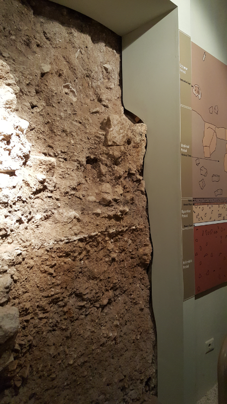
Material timeline!

From there, we went to the crypt museum to check out the ruins. Badveli had never been before, and I was glad that we were doing something new for him so that the whole day wasn’t just him playing tour guide for a bunch of things he’d already seen a million times (most of the day was that, but thanks to this museum, it wasn’t the WHOLE day).

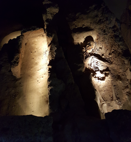
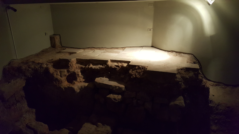
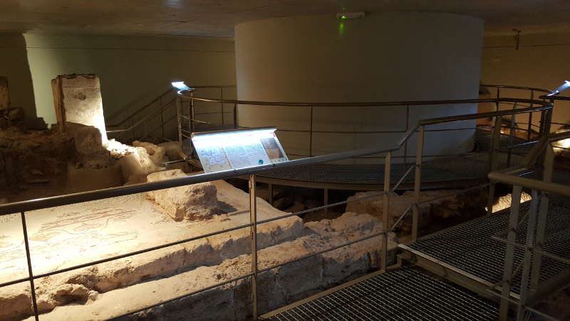
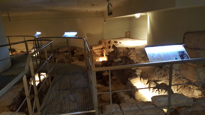
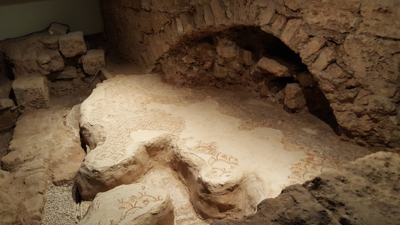
The museum is small, but it’s one of the coolest archaeology museums I’ve ever been to. Since the museum IS the excavation, things are mostly left where they found them. You can see the layers of churches and their different mosaic floors. You can see exactly where graves were found, and a bunch of them still have the skeletons inside. When you first enter, there’s a wall that shows what is basically a vertical timeline of the site. The different material layers in the soil are identified and dated so you can see the various civilizations all stacked on top of one another. The Ottoman layer has a skeleton sticking out, so that’s fun too (eek!). They also have cases with various things in them, but it’s so much cooler knowing that those things were found right next to where they’re now displayed.

A grave… creepy. The last year has made me VERY certain that I want to be cremated because as cool as skeletons are, do I really want people from hundreds or thousands of years in the future digging up my bones? Nooo thank you!
The floor of the medieval church!

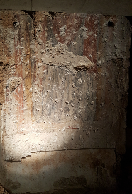
It also gives you an idea of how archaeologists piece things together. Since you’re looking at exactly what they were looking at, you can see what columns they used to determine the orientation of the medieval church or the fragment of fresco that was the basis for their assumption that the entire church was painted. The museum has a path for you to follow with numbered stations. At each, you press a button on the information panel, and lights turn on to direct your attention to the places it’s talking about. It was very well done! I felt like I was an archaeologist too, uncovering the secrets of the site as we went from station to station. Maybe I just have an overactive imagination, but it was awesome.

You can see the walkways and information panels

Doesn’t it just look like a cool museum? (I ran around and hit like 5 buttons to turn the lights on for this picture.)

You can see two layers of mosaic floors!
Fresco remnant from the medieval church.
Archaeologists in training!

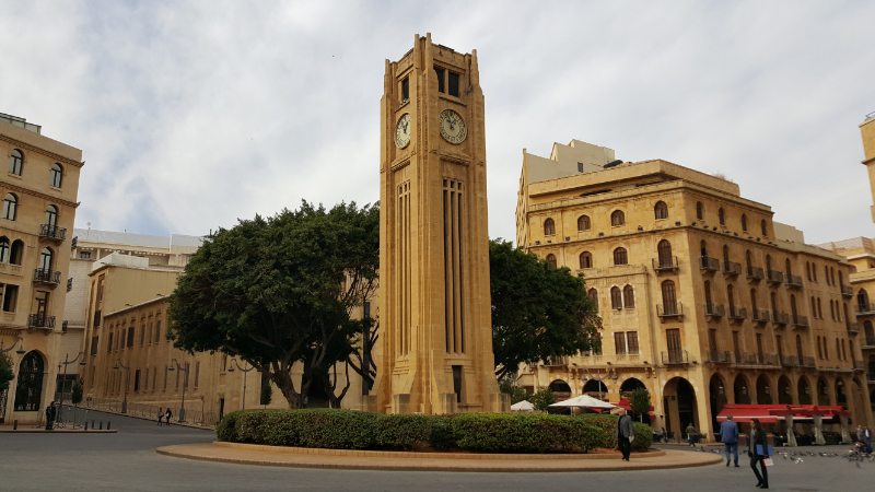
From there, we walked out into the central square of Beirut. There’s a clock tower in the middle (that escaped damage during the civil war because was disassembled and hidden until it was over) and the Parliament building. It’s a bit eerie because the car traffic is incredibly limited there, so it’s practically a ghost town. Fun because you can walk in the middle of the street, but still just a little weird.

Clocktower! This was taken on a sunny day later in the week, and even with the nice weather, you can still see that there are barely any people out.
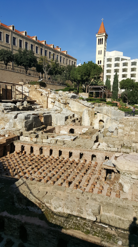
The baths on a sunny day when I went back later

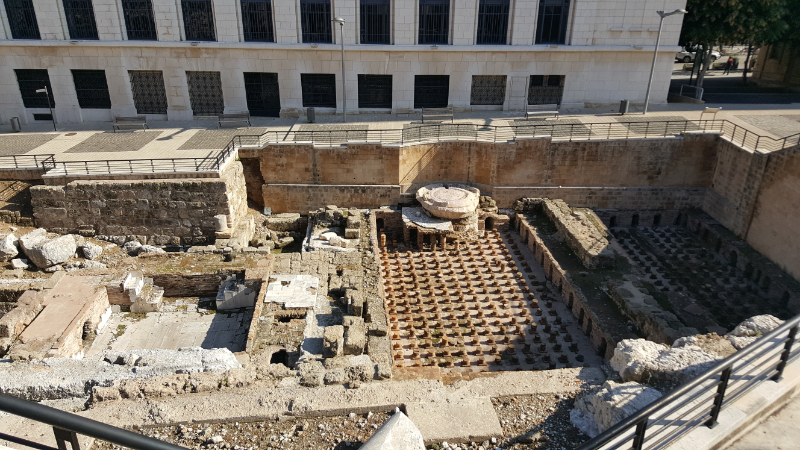
Another area of ruins in the city is the Roman baths. They were discovered originally in the late 1960s, were further excavated in the 90s, and are designated as land to remain “unbuilt” in the city. They aren’t the best-preserved baths I’ve ever seen, but they’re definitely still impressive, especially when you think about the fact that they were buried under the city for hundreds of years! The floors are almost completely gone, but they’ve re-set many pieces of the little pillars that held up the floor in the hot room so that the warm air could go underneath. I need to brush up on my Roman bath knowledge again because I didn’t remember too much beyond that, but it was still cool to look at while not knowing anything.
The Roman baths! And you can see the tower of Saint Louis Capuchin Cathedral in the background.
The baths from above

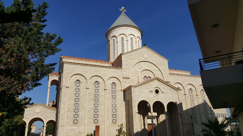
Right near there is the Grand Serail which is the headquarters of the Prime Minister. Badveli said that they can get pretty defensive if you try to take pictures…  even if you only want a picture of the Armenian church Surp Nishan that happens to be right next to it. I’m not interested in getting on the wrong side of someone with an assault rifle, so I didn’t try to take one from any closer than from the Roman baths.

Grand Serail to the left
Surp Nishan from an angle where no one will yell at you for taking a picture.
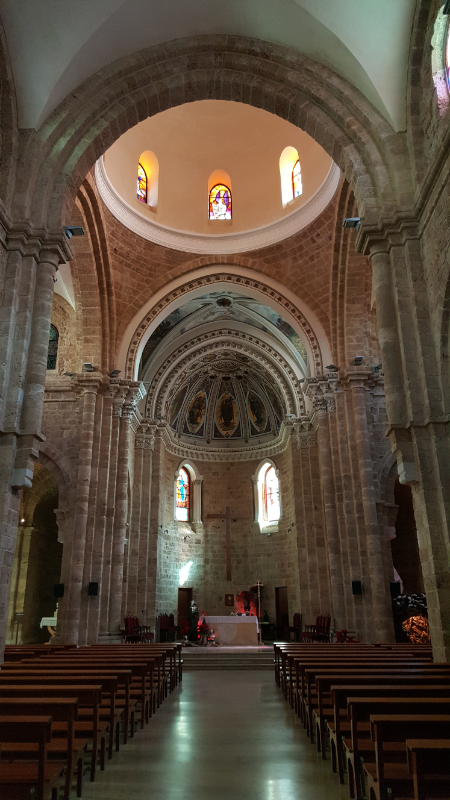
Inside St. Louis Cathedral

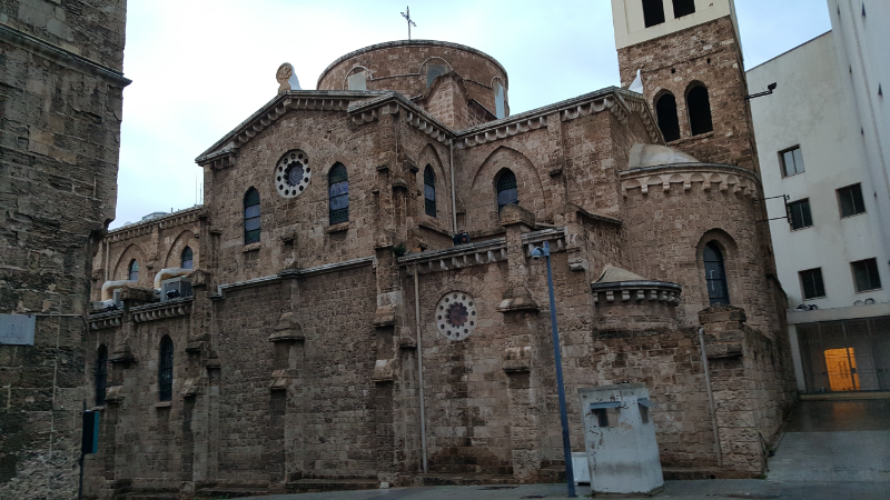
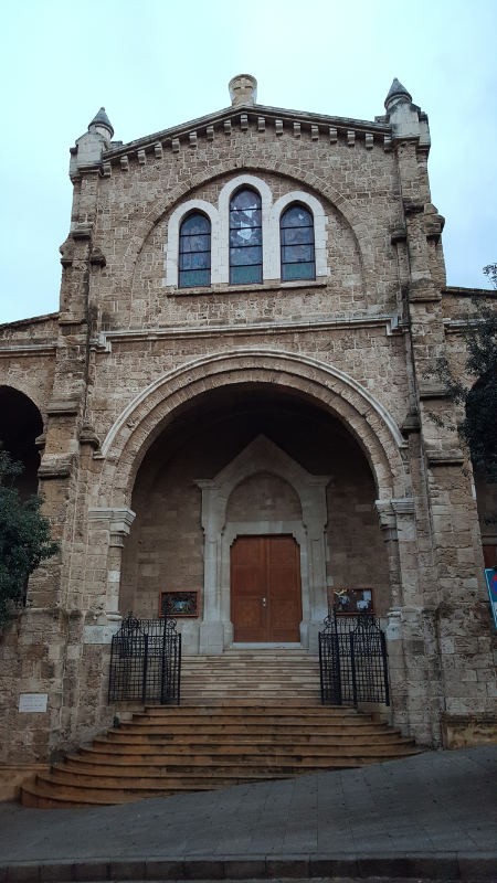
From there, we walked over to ANOTHER church, St. Louis Capuchin Cathedral. It was originally built by Capuchin missionaries and is named after the French King Louis IX. By the time we got there, it was getting dark outside which made it extra dark inside. We couldn’t see much of the interior, but luckily, the stained glass windows were still bright! I went back later on during the day, and I got to enjoy the stained glass again and see the pretty paintings on the ceiling above the altar. No matter how many churches I see, I’m still amazed by how each of them has something that makes it different from the rest. I haven’t gotten sick of them yet! That’s saying something, too, because I’ve been to Rome and I’ve been to Armenia, and they both have more than enough churches to keep you busy.

We saw a couple more things after that, but I’m going to save those for later. When we were both about ready to collapse, we decided to walk the 40ish minutes back to the apartment because it was rush hour. That means walking is probably close to as fast as driving, and I wanted to see the nighttime street life anyway. The walk was nice, though it would have been even nicer with functional sidewalks. I know, I know. I expect too much sometimes.

Check out those paintings!
St Louis Cathedral
Louis from the front
It looks pretty good from this side, right? Don’t let yourself be deceived.

Armenia has a lot of churches. When I say “a lot”, I mean like a waaay lot. You know how people say that Rome has a lot of churches? Basically, it’s like the entire country is Rome. Every village, every hill, every spring, every mountain, every location with a nice view… they all have churches. It’s like our Armenian ancestors wanted to guarantee that no matter where you are in the country, if the mood strikes and you need a place to pray, there’s a church within 100 steps. Okay, that’s a bit of an exaggeration, but just trust me. There are churches everywhere.

So much natural light in this church! hehehe
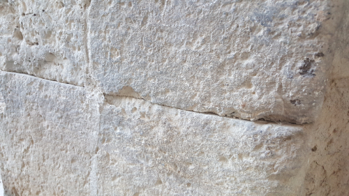
Check out how tight those joint are!

There are excursions planned each weekend to different parts of the country, and the destinations for my first weekend were Talin, Dashtadem, and Aruch. None of the places we visited are really on the tourist circuit, so it was a cool chance to get off the beaten path.

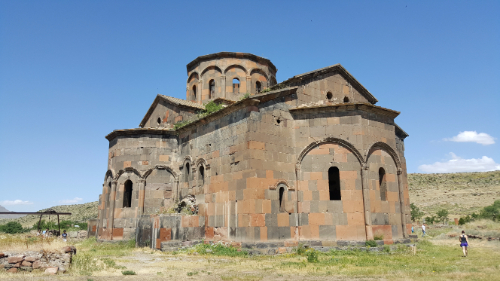
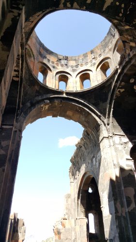
Our first stop was the Cathedral of Talin (pronounced tah-LEEN), or at least what used to be the Cathedral of Talin. It was built in the 7th century which probably sounds old, but that’s like a teenager compared to a lot of the other churches here. I’m already becoming immune to these numbers, and when I take a second to think twice about it, it makes me laugh a bit.

Guide: This church was built in the 15th century.

Me: It’s new??! Wait so why are we even here? I’m not impressed anymore.

Guide: This church was built in the 7th century.

Me: If they just built it, why is it already in ruins?

Guide: This church was built in the 4th century.

Me: I bet you think that’s old, right? But did you know that they found the world’s oldest leather shoe in Armenia and it’s from around 3,500 BC? Now THAT is old.

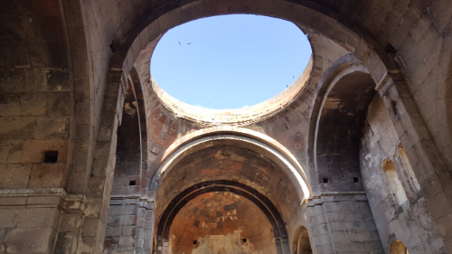
That big hole at the top is where a person can climb in, and you can sort of see hand/footholds leading up to it. It still doesn’t seem very easy.

There were earthquakes, one in the mid-1800s and one in the early 1900s, that destroyed the church. It has been partially reconstructed, but that work was never completed. It’s interesting because you can tell how big a city used to be by looking at the size of the church there. This church was HUGE, and that is enough to know that the city of Talin used to be much larger than it is now.

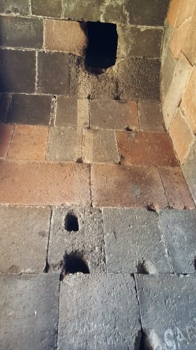
One cool thing that we saw there is little hideouts for the priests/monks. There are two prayer rooms on the sides of the altar, and inside, there are sneaky hand and footholds that lead to a hole in the ceiling where someone could climb up to hide or escape if the church was being attacked. They could cover the entrance hole with a rock, or else they could defend themselves fairly easily from that position. There are also places to hide books, basically holes in the walls that you can cover with a rock.

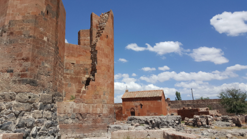
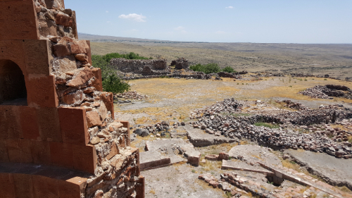
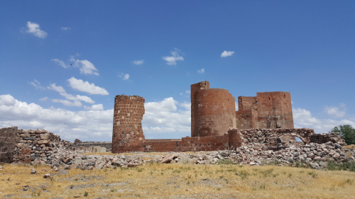
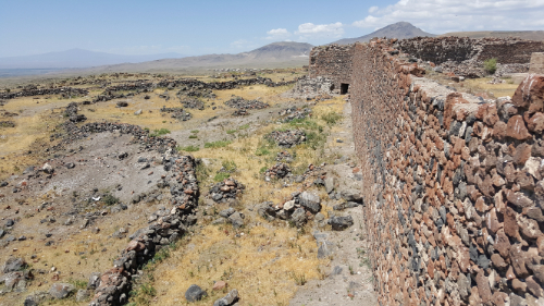
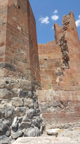
From there, we went to Dashtadem where there’s a not-that-old fortress that was used from the 10th-19th centuries. Now it’s in ruins, and until recently, there were families living there and taking rocks from the keep to use in their houses. There have been renovations and excavations going on… I’m not sure that anything is happening there now, but within the last 10 years work was going on. You can go on top of the keep, and the views from there are really nice. There are also a TON of birds nesting in the ruins, so there’s a 90% chance that you’ll get pooped on if you go. Apparently that’s a new problem.

The fortress!
Check out that view
Pretty ruins, huh?
Bird poop covered wall
Here’s the wall I climbed down. Not from the top! But you see where the rough stones end on the left side, that’s where I came out, right where there’s the gap. I wish a person was in there for scale, but even when I was hanging straight armed from the wall, I still didn’t feel like I was close enough to the ground to just let myself fall

Someone convinced me to take the “secret exit” out of the keep, aka a not very big tunnel through the wall, and failed to mention that once you make it through the tunnel, you need to find your way down from the top of a probably 10-12 foot high wall. Luckily there were a few other people there who had just made it down, so I had some spotters looking out for me.

For lunch, we went to the house of some guy who one of the Birthright directors met one time when they visited the fortress. He agreed to host the future groups for lunch and music and dancing, so that’s how we ended up with 70 people in some random guy’s house, eating enough food for 150. At the end of the meal, he and his son and another guy who was probably related played some Armenian music for us, and after a few songs, we headed outside to dance! It was fun, and I also realized that while my Armenian language skills aren’t the best, I can hold my own on the dance floor (or dance field). Thank goodness for hantes (Armenian dance recitals back in grade school) and Armenian weddings!

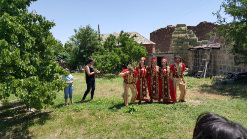
The dance group that led us

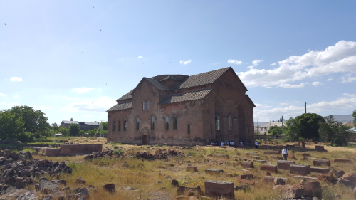
By the last stop, I think everyone was ready to collapse. We went to one more church, Aruchavank, which was built sometime in the 7th century. It was also damaged during earthquakes, but the structure has been completely restored with the exception of the dome. It is also huge, though the cathedral in Talin was bigger. You can see the remnants of some frescoes above the altar, and I love closing my eyes and trying to imagine what it was like back in its glory days. Anyway, that’s all. Here are some pictures, if you can even stand to look at more pictures of churches.

Aruchvank. Doesn’t it kind of just look like a big house without the dome?
It’s kind of funny that the only thing missing is the dome…
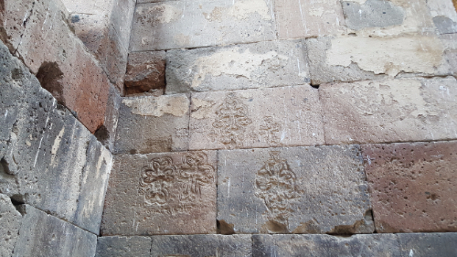
There are crosses carved EVERYWHERE