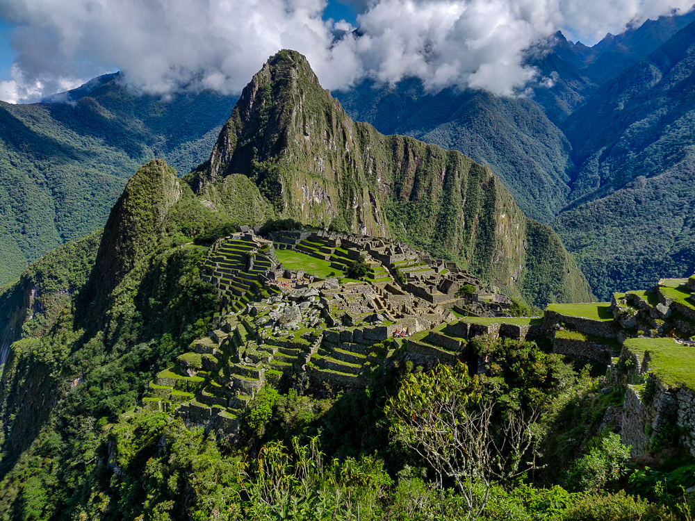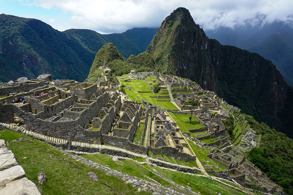
Now that we’ve talked about Inka Pachakuteq and the history of Machu Picchu and have explored the outskirts of the site, it’s finally time to explore the citadel! That’s what they call the main area of buildings onsite even though “citadel” gives more of a fortress vibe, and we’ve already covered the fact that historians think Machu Picchu was most likely a royal estate. That, at least, is the assumption that we’re going to go with as we walk through the site and learn about what the different buildings were potentially used for. Again, everything I say may or may not be true. Thanks to the Incas’ lack of a written language, best guesses are sometimes all that historians can make. So, here are a bunch of best guesses about the ruins at Machu Picchu! Just insert a “maybe” before each statement I make from here on out.
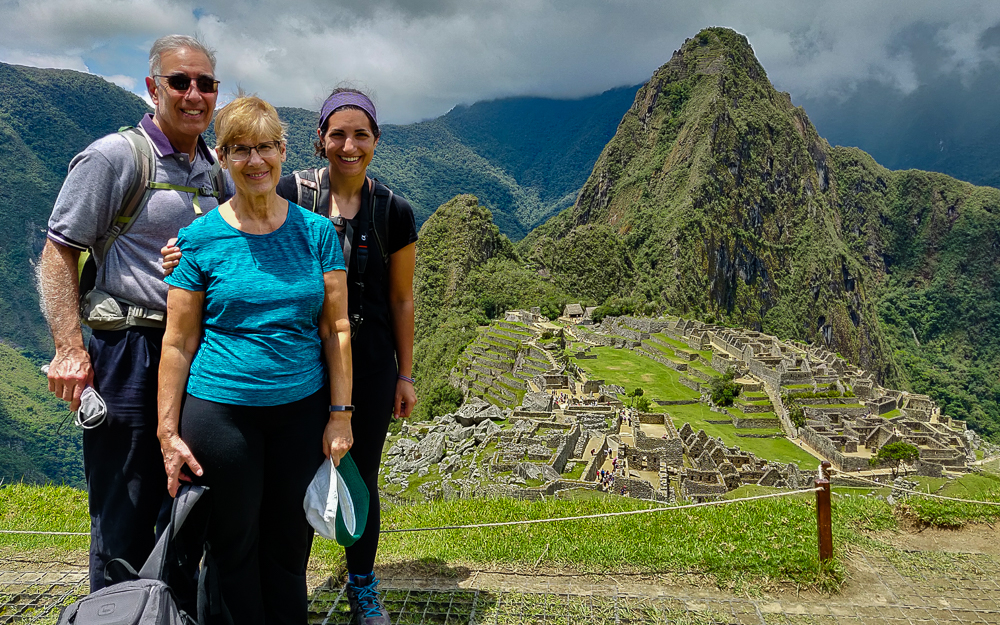
Everyone looking tired but happy after finishing our morning hikes!

The site can be divided into two main sectors, farming and urban. The farming sector consists of the terraces, many of which are still unexcavated. Vegetation grows quickly in the cloud forest! There are also some buildings around the terraces that may have been used to house farmers, but the majority of the buildings are located in the urban sector/citadel.

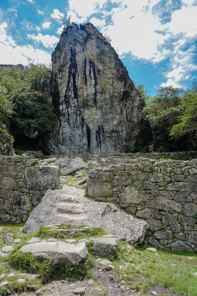
After you enter through the ticketing area, you walk up lots of stairs and past lots of farming terraces until you finally get your first glimpse of the urban sector. There are a bunch of different viewpoints from which you can get a low-flying bird’s eye view, and at one of these is the “watchman’s post” or maybe “the hut of the caretaker of the funerary rock” or “call it whatever you want because who knows”. This three-walled structure has a great view of the citadel and the surrounding valley and is one of the few buildings with a restored thatch roof. Remember that this type of roof would have been standard, so based on that alone, the urban sector would have looked very different. Just outside, there’s a large “funerary rock”, carved into an altar and used for embalming and mummification… or maybe used for animal sacrifices. In the nearby field, a number of skeletons were excavated which is part of the reason for the mummy theory. In that case, the hut would have potentially been used in the mummification process as well.
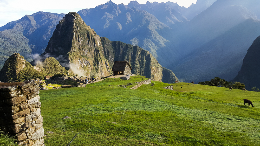
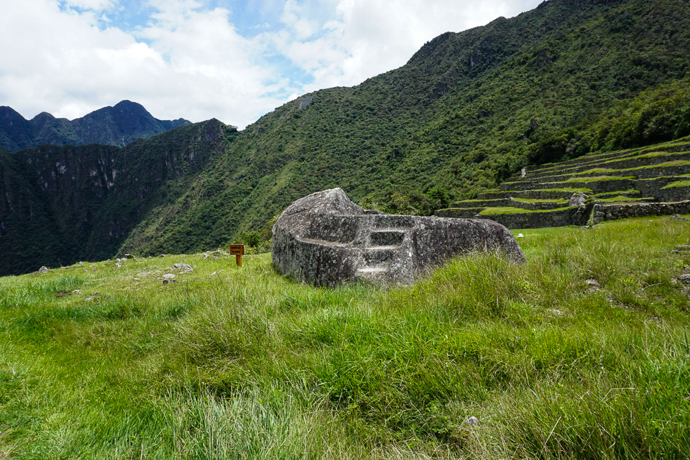
The “upper cemetery” where they found a bunch of graves. You can see the funerary rock at the far end of the field, plus the “whatever it is” hut just behind the rock. (Side note, some of the pictures in this post, including this one, are from my first trip to Machu Picchu. There were a few things that I wanted to show that I didn’t have pictures of from this visit, so if you notice that the weather randomly appears to have changed between pictures, that might be why.)
Funerary rock
I’m going to give you a little preview of our route. We started at the hut that’s out of frame to the upper right. We’ll enter town through the main gate, which is where that big group of people is gathered. From there, we’ll walk through that first group of buildings and then stay to the left to visit the plaza (the dirt patch), go up the Sacred Hill behind it (with all of those narrow terraces). Next, we’ll cross the main grassy plaza to the very back of the site where we’ll see a Sacred Rock, and then we’ll head back towards the starting point through the buildings on the far side of the main plaza. (If that made no sense, sorry! I tried. Ignore me and just continue reading.)

A dry moat separates the outer buildings and farming areas from the urban sector. Through the main gate (that used to have a door with a locking mechanism!), you enter into the upper part of town which contains support buildings like storehouses and public buildings and the remnants of a quarry that likely supplied much of the stone for the buildings. What an exciting welcome to town, right? But it makes sense not to put the really important stuff right next to the city gate, just in case (Lara speculation).

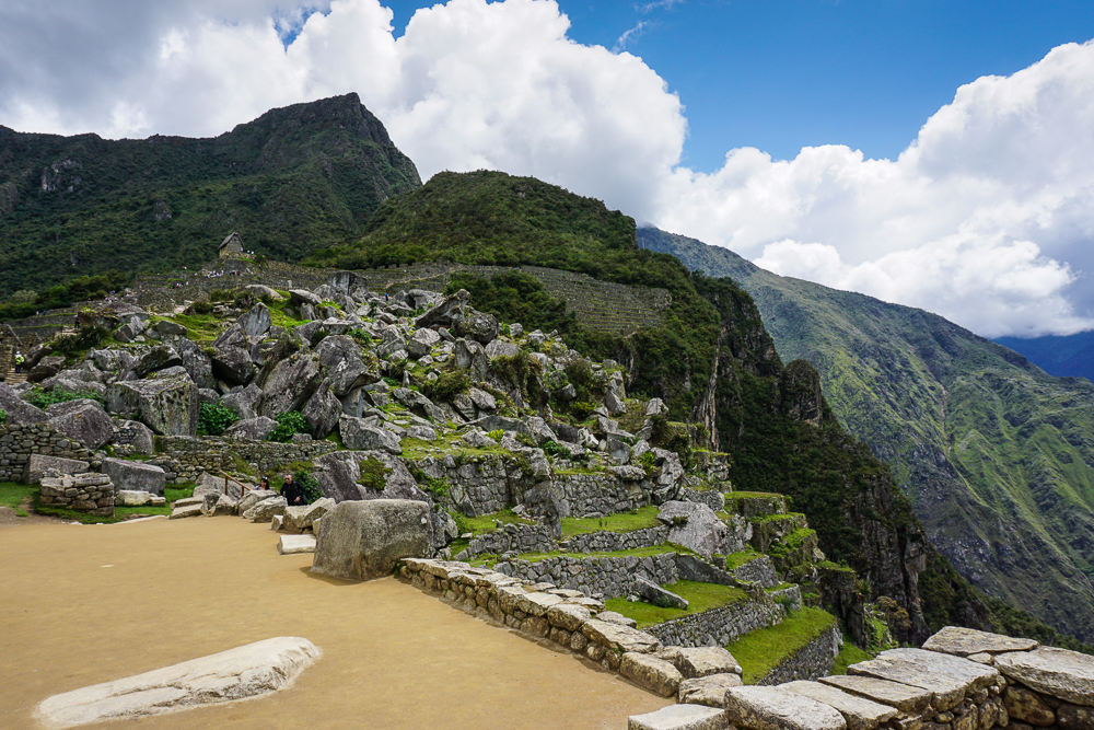
The dry moat runs along that staircase in the front, and the main gate is just out of frame to the left.
The rock quarry as viewed from the Sacred Plaza

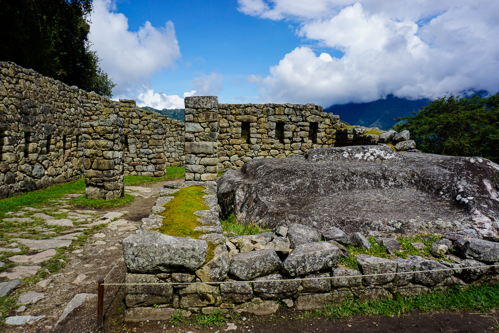
Downhill from these structures is where things start getting interesting. Not surprisingly, the most unique building in the city is the Sun Temple. It has a curved wall with that classic imperial stonework, and it’s built above a giant boulder. The top of that boulder was carved into an altar that was used for animal sacrifices (to read the future in their entrails… ick). This was also where the Inka would come to drink chicha (corn beer) with his “father” the sun, as the Incas believed that the Inka (king) was descended from the sun god, Inti (side note: to keep the royal bloodline pure, each heir had to be a son of the Inka and his sister).
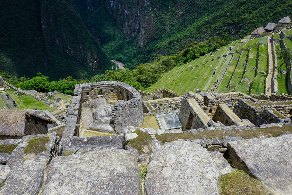
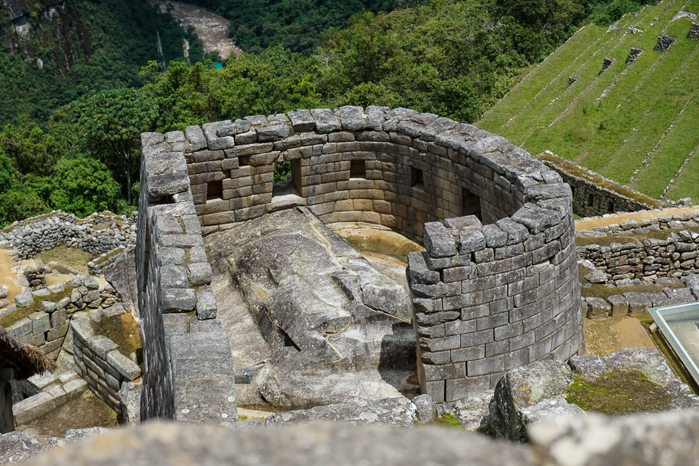
The Sun Temple. There are windows facing to the north and to the east. The east window is aligned to the sun position on the winter solstice.
See the carved rock that makes up the floor? That was used as an altar.

The Incas mummified their dead and treated them a bit like they were still living, so underneath the temple is a “royal tomb”, basically a cave where it is believed that the Inka’s mummy was kept. Even after Inka Pachakuteq died, it is likely that his mummy was brought back to Machu Picchu, kept beneath his father’s temple, and given food and drink (not quite sure about the logistics of that).

Near the sun temple are the royal apartments, aka the residence of the living, pre-mummified Inka. The spring on Machu Picchu Mountain was first directed through the Inka’s apartment so that he could have the freshest possible water, and from there, it flowed through a series of ceremonial fountains. The residence consists of a central patio area surrounded by two large and two small rooms.

Beyond the rock quarry and royal apartments is the main sacred area for the town. A small plaza is bordered by two temples and another room that could have been the priest’s dwelling. You can tell that the temples are important buildings just by looking at their quality stonework.
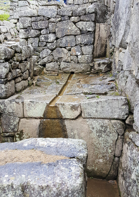
One of the fountains that used to flow with water from the spring. The water would still flow through here, but it’s been redirected for tourism purposes (bummer).
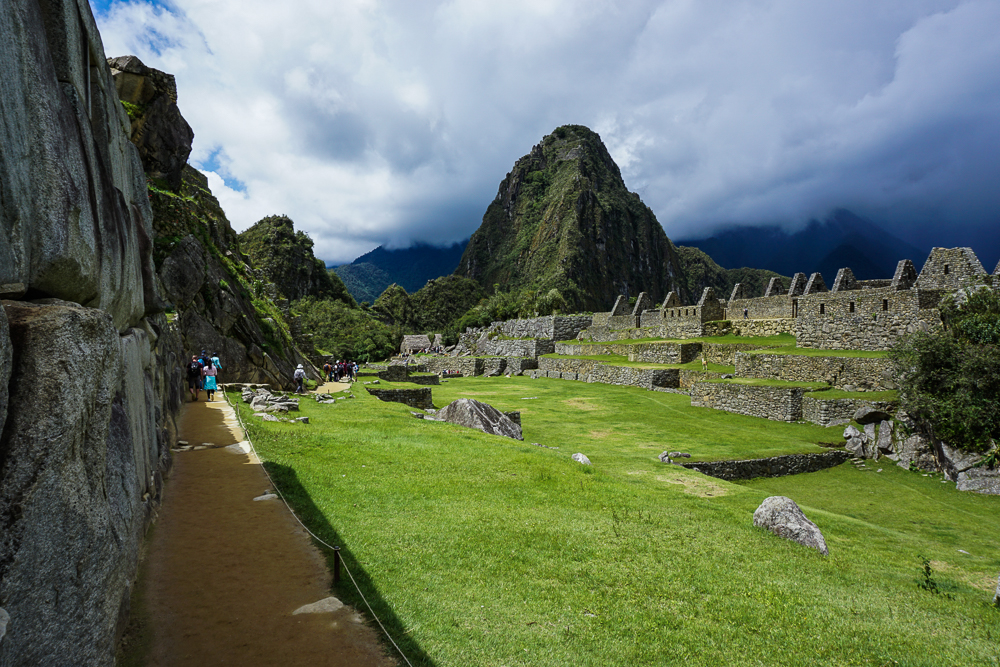
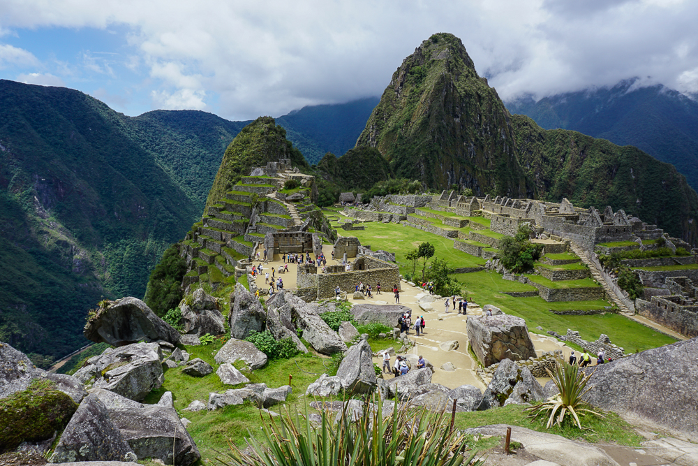
View from the quarry. Straight ahead, you can see the Sacred Plaza with its two temples, and behind that is the terraced Sacred Hill. Another temple, the Moon Temple, is located on the back of Huayna Picchu, the tall mountain peak that you see straight ahead.
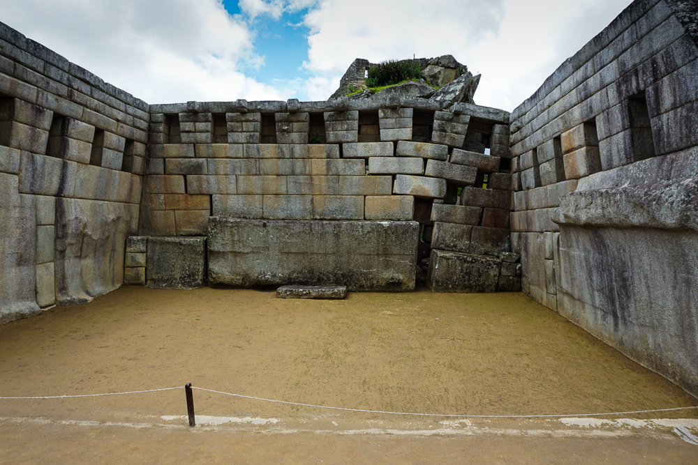
The main temple has only three walls. They’re not sure exactly who this temple was dedicated to, especially since the Sun Temple is elsewhere, but clearly it was someone important! You can see that the collapse in the corner isn’t because the rocks shifted. The bottom rock is actually sinking into the ground, so it’s likely some sort of foundational problem. That could have been caused by an earthquake, or it could have been a water-related failure.
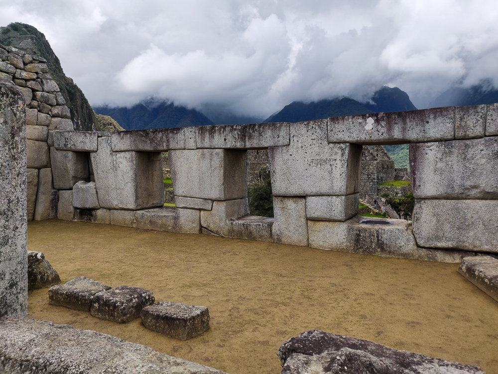
This is the Temple of Three Windows. Can you guess how it got its name? It likely was covered by a gabled thatch roof with the side nearest to us left open.
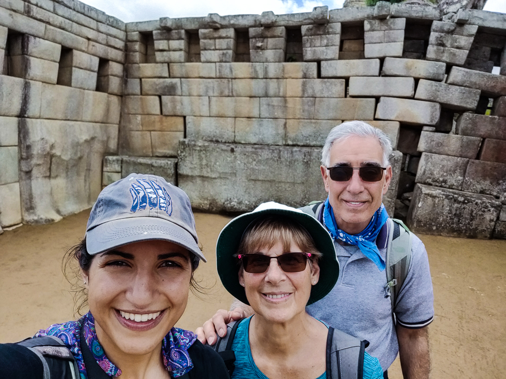
With the main temple!

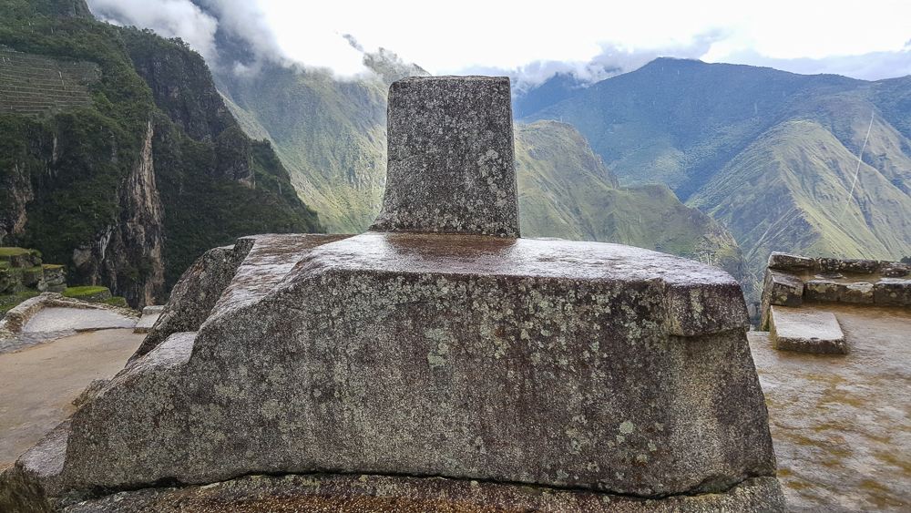
The sacred spaces continue up “Sacred Hill”. There are more temple-like buildings with high-quality stonework, but again, the exact use of each space isn’t really known. At the top of Sacred Hill is one of the only remaining “Intiwatana”, or “sun fastener”, stones. This carved rock was used during the winter solstice celebration, Inti Raymi, to symbolically tie the sun to the earth. Inti Raymi was a festival to ask Inti not to abandon his people, to move closer instead of farther away. Otherwise, the stone was also used to measure the solar year and keep track of important sun dates like equinoxes and solstices. It was not, however, a sundial or solar clock. The Incas didn’t have clocks as they didn’t measure days in hours and minutes. This hill was also the priest’s pulpit. He could stand high above the main plaza and address the people gathered below.
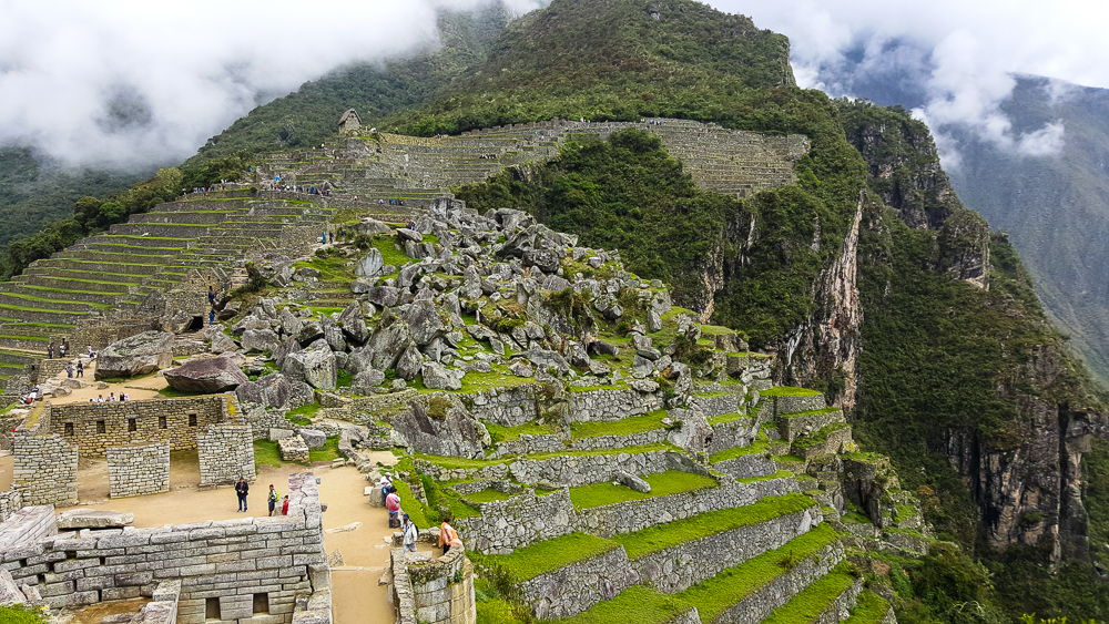
Walking up Sacred Hill. You can see the Sacred Plaza in the bottom left, with the main temple closest to us and the maybe-priest’s-house across the plaza from there. And then there’s the rock quarry, and the hut where we started is perched up on the terraces near the top of the picture.
Intiwatana. Originally, it was probably polished… the rain is giving it a decent shine in this picture. I’m imagining a granite countertop-level shine.
The entrance to the site is on the far end straight ahead, and Sacred Hill is the one to the right with all of the terraces. The terraces on Sacred Hill are very shallow. This shows that they were mostly for protecting against erosion and were also used as decorative gardens, not for actual farming.
Looking up the side of Sacred Hill. You can see those shallow terraces at the right edge of the picture. From this angle, it’s pretty clear why they decided this needed some erosion-prevention terraces!
I like this picture because I think it really shows how important the terraces are to making this site a viable location for building. Without those terraces, there’s no way that the site could have handled the weight of the buildings, and erosion definitely would have caused some serious collapses. I also like looking at the main plaza and seeing the effort that went into creating such a large, flat space.
Sacred Hill is up to the left. The main plaza, in the middle, was used for festivities and ceremonies.

Across the lawn, right in front of Huayna Picchu, is a “Sacred Rock”. It’s clearly important because a stone pedestal was built around it (it’s a natural projection of the mountain), but what were people worshipping there? It supposedly could look like a puma or a guinea pig, but personally, I don’t see it. Another possibility is that it was simply a representation of a sacred mountain peak. Mountains were believed to have spirits that were considered protectors of the people. I’m going to go with that because I can definitely see “mountain” in this rock.
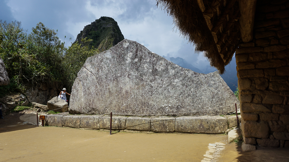
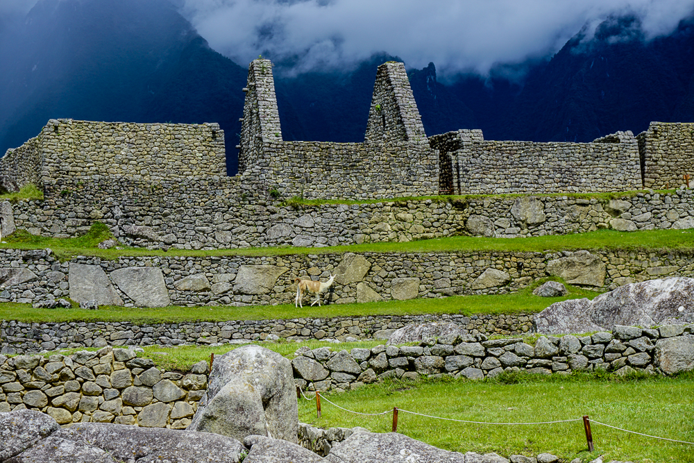
You tell me… puma? guinea pig? or mountain? This rock was probably polished as well.
It seems like a pretty cushy existence to be a Machu Picchu alpaca. They just wander around, eat, and get fawned over by tourists.

Finally, moving back towards the main gate but on the other side of the main plaza, there are TONS of buildings. These were apartments for support staff, storehouses, and other utility spaces. There are various interesting features sprinkled throughout these rooms, including these two “water mirrors”. Some guess that they were used to reflect the night sky and study the stars, but that seems silly because why look down at a reflection when you could look up at the real thing? Oh well, at this point, what’s one more unsolved mystery?
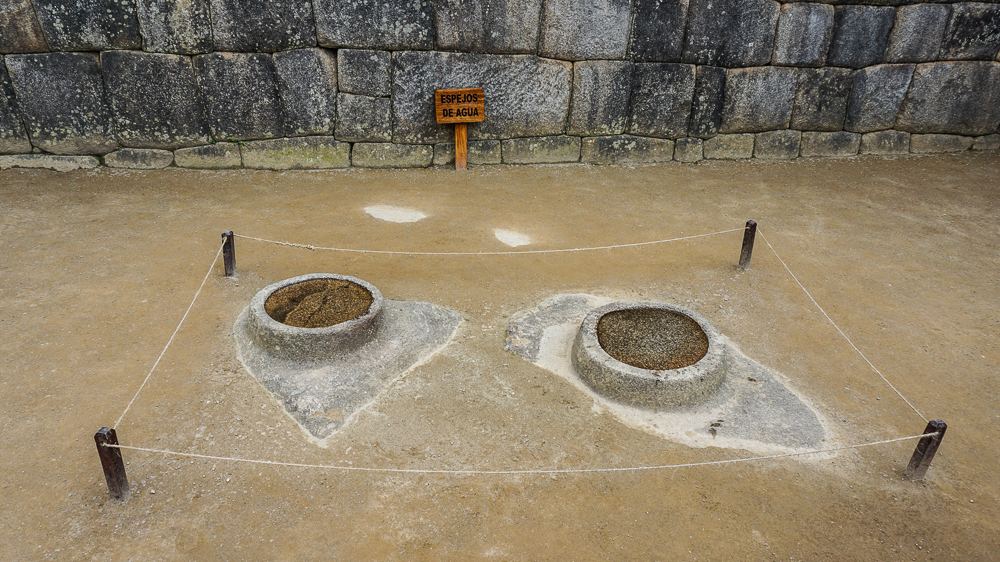
Water Mirrors. Does it not seem a bit silly to use these for astronomical purposes? To use these liiittle water pools rather than the big night sky?
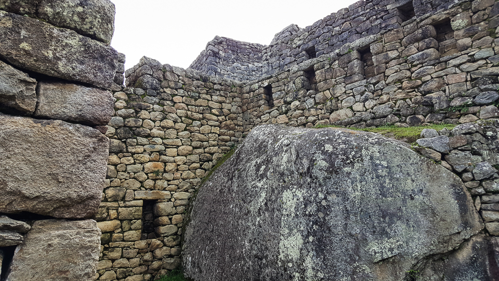
I’m obsessed with the way that they integrated these ginormous boulders.
I don’t know why things like this still surprise me, considering I know how skilled the Inca stonemasons were. But it’s so seamless!
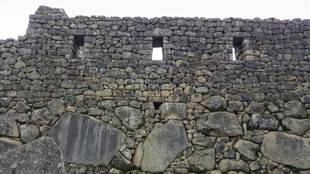
This is a nice wall.

On the way out, you walk through one of my favorite parts of town. I don’t know what it was used for… maybe just more support buildings? But the reason I love it is because there are large boulders all over the place, and the buildings are built right into/onto/around them. It’s so cool! There’s one in particular that’s very important, the Temple of the Condor. There’s a huge rock at the center that somehow looks like a landing condor? Condors, pumas, and snakes were sacred animals for the Incas, so it was likely an important religious space.
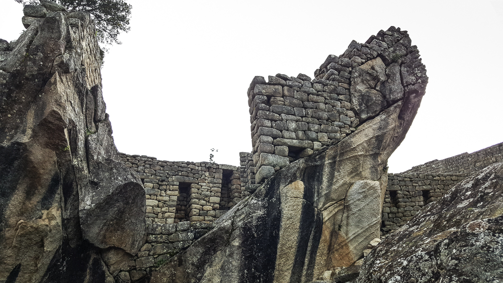
This is the world’s least helpful photo of the Temple of the Condor, but clearly I was more focused on the ridiculousness of the wall on top of that slant than on the entirety of the condor-shaped rock. I’m pretty sure that the head is the part on the left side of the picture, and that crazy slanted rock is maybe one of the wings?
This is what happens when you do most of your learning about a site AFTER you visit. To be fair, though, it’s very hard to understand what anything is talking about until you’ve been there. I guess that’s one argument for taking a tour, but even so, I think I still prefer exploring on my own.
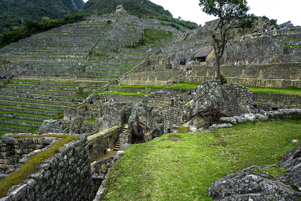
In the bottom middle, you can see the big rock in the Temple of the Condor. You can also see the hut from the very beginning of our tour in the top middle!

By the time we were about halfway through the citadel, we were all more than ready to call it a day. Mom and Dad actually said before we even entered the town that they felt like they’d already seen enough. I insisted that we walk through, but I understood their exhaustion. We had already done a lot of walking! We walked through the exit gates EIGHT hours after we walked in. Eight. Hours. But we did it! We survived! And we did/saw everything we wanted to do/see which is VERY impressive.
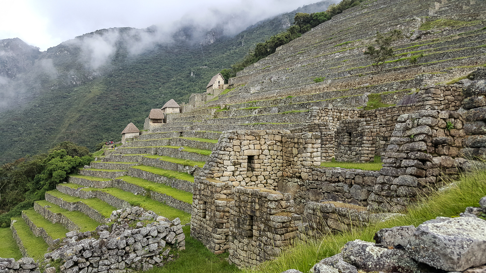
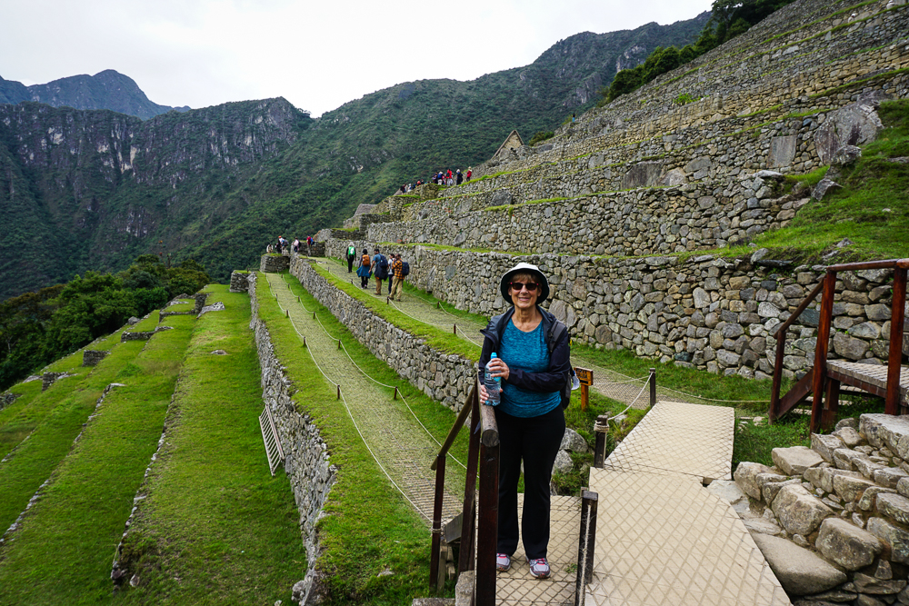
Farming terraces along the edge of the citadel. The buildings you see in the distance could have been housing for farmers.
Survived! Mom’s somehow still smiling after 8 hours of walking.

We took the bus back to town and then mostly hung out in our hotel until it was time to head to the train station for our ride back to Cusco. We were taking a train that went all the way back to the city, rather than the other option of having to transfer to a car in Ollantaytambo. Good in theory, but I probably should have looked more closely at the schedule. It’s insane. The train from Machu Picchu to Ollantaytambo takes about 1:45. To drive to Cusco from there would take about 2 hours. The train, on the other hand, took nearly 3 HOURS. How? Well, please direct your attention to the helpful map below. I traced the train tracks in blue.
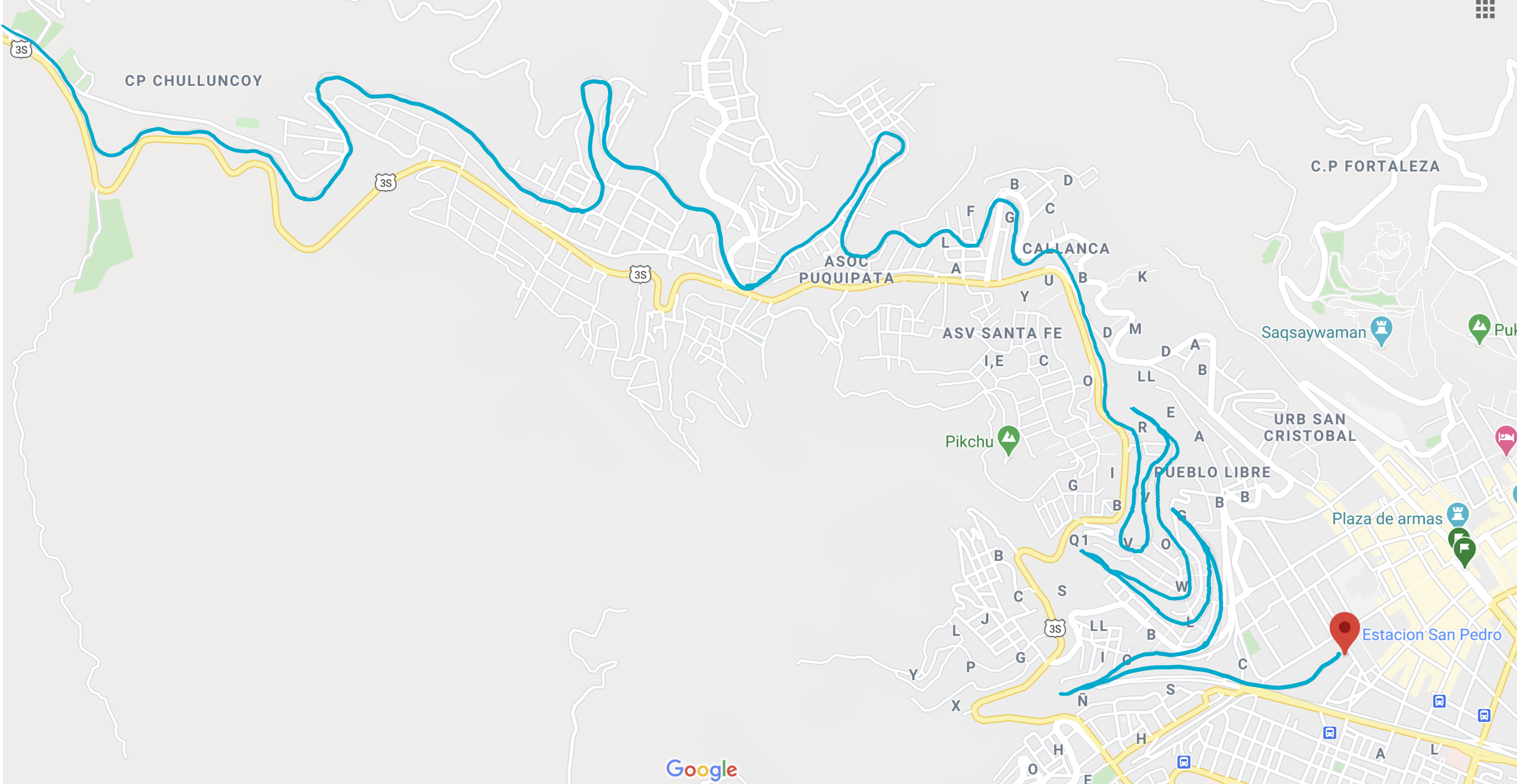
Have you ever seen such a route??

When we felt like it was time for the ride to be over, we called over the train attendant and grilled him for answers. We could literally SEE Cusco, and he said it was still going to take at least a half-hour to arrive at the station. I was so exhausted that I almost cried. He explained that in order to get down into the valley, the train goes down a series of switchbacks. Switchbacks! For a train! It hits a dead end, they switch the tracks, the back of the train becomes the front, and it continues on until the next dead end. I ranted in delirious Spanish about how silly that was, and he excused himself/escaped at the first opportunity.

Eventually, though, we made it. Everyone was tired of sitting, so we walked the 15 minutes to our hotel and collapsed. Talk about a long day.

Manco Cápac Plaza in Aguas Calientes. Manco Cápac is the legendary first Inka, and it’s uncertain whether he actually lived or if he’s simply a legend. He’s one of the main characters in the legend that explains the beginnings of the Inca civilization.
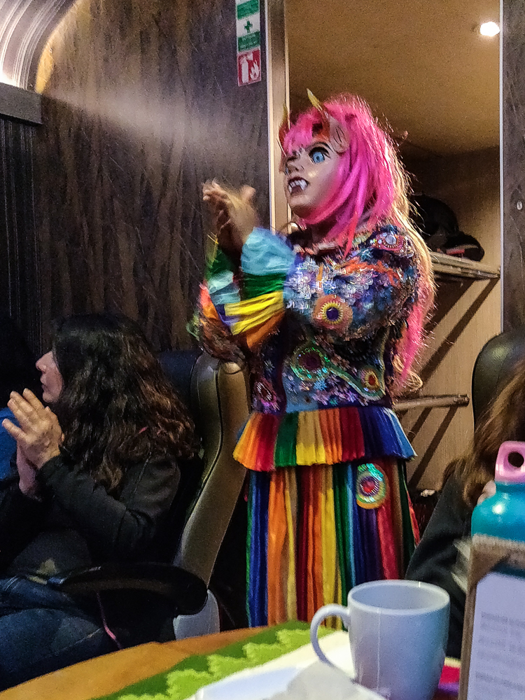
The ride home also included some entertainment, including a fashion show of alpaca clothing products (surprisingly entertaining) and some interesting dances with this Andean folk character.

Related Posts

Inka Pachakuteq and the History of Machu Picchu – learn about the Inka who built Machu Picchu and how it came to be

Machu Picchu: Inca Bridge and Intipunku (Sun Gate) – take two hikes to interesting features near the citadel

Machu Picchu – come along on my first visit to Machu Picchu, including the hike up Machu Picchu Mountain

Ollantaytambo – explore another royal Inca estate!

Cusco: Q’enko and Saqsayhuaman – admire some impressive Inca stonework at Saqsayhuaman

Machu Picchu day!!! After three days of visiting ruins all over the region, everyone in the group was excited for a day of… visiting ruins! It may seem like you’d eventually get to the point where you’re like, “Ugh, MORE???” but at least for me, I’ve seen a LOT of Inca ruins and am still not tired of them. It’s not just me, either! My parents, Benjamin, and Jocelyn all said that they were surprised by how different all of the sites we visited were and happy that we saw as many as we did.

Anyway, like I said, we were all excited! When my alarm went off at 4:30AM, I practically leaped out of bed I was so pumped! Okay, that’s not true. Is it even physically possible to leap out of bed at 4:30 in the morning? Instead, I grumbled, forced my eyes open, and prayed that my alarm was set to the wrong time. No such luck.

By 5AM, we were walking from our hotel to the bus stop to ride up the mountain to the ruins. The bus line was already shockingly long, even though the first bus didn’t leave until 5:30. Luckily, it’s probably the most efficient operation in all of Peru, and even though we were on maybe the fourth bus, we still were at the site by 6:05, only five minutes after our ticket time. Impressive!

Once we entered the site, my parents and I parted ways with Jocelyn and Benjamin so that we could all go at our own speed. They were also hiking up Machu Picchu Mountain, something we were definitely NOT doing (I did it last time I visited Machu Picchu… it’s literally ALL stairs. Endless. Stairs). We were, however, planning to do the two non-ticketed hikes to the Inka Bridge and the Sun Gate. As we walked up the mountain to the start of the first hike, we stopped at some viewpoints overlooking the site. The weather was a little iffy, but I was hoping the sun would clear out the clouds as the day progressed.

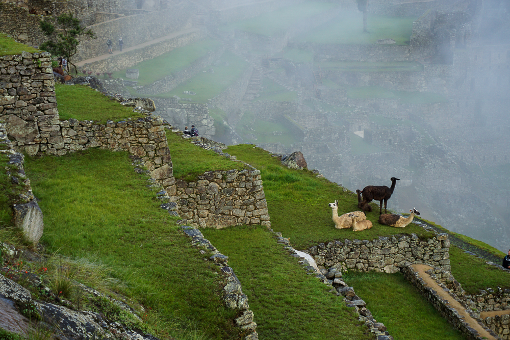
Alpacas, enjoying the morning mists.
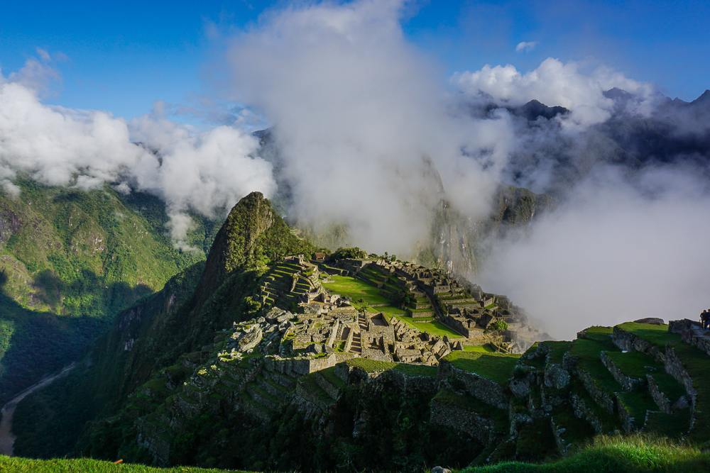
The fog sure gives the site an eerie quality, doesn’t it?

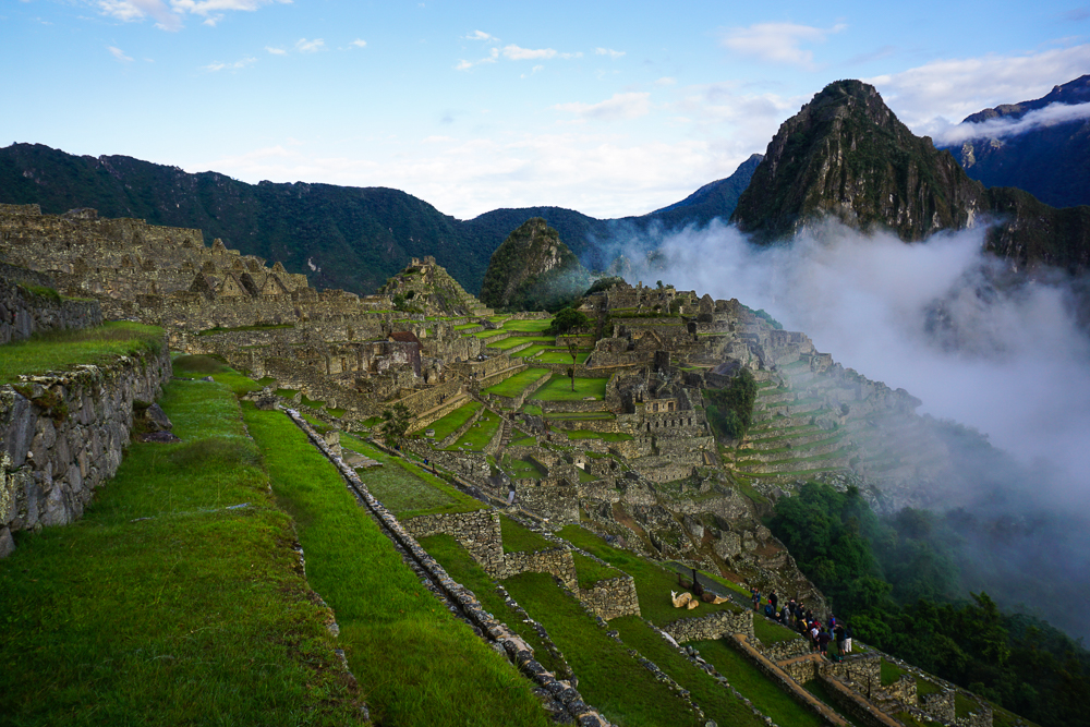
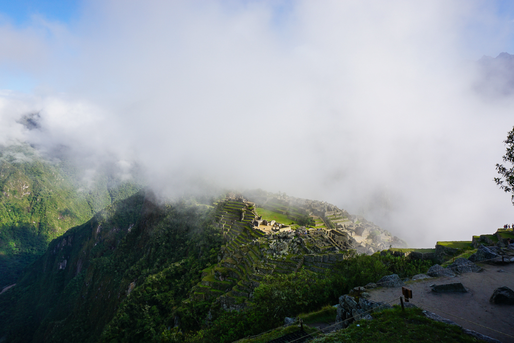
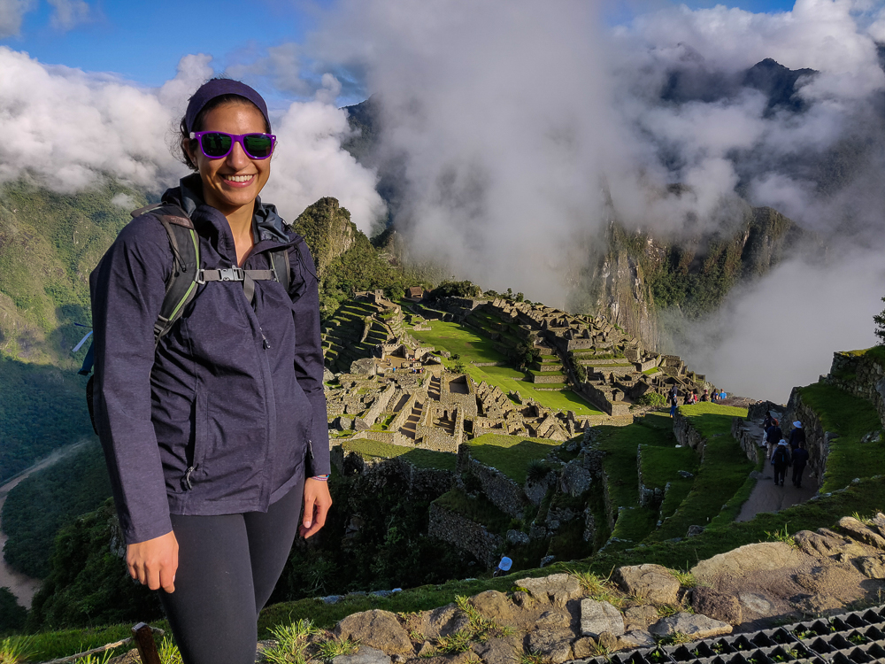
Machu Picchu is one of those places where they tell you to dress in layers and be prepared for a year’s worth of seasons in one day. We were a little worried when we walked in and felt like we were inside of a cloud, but the fog was moving fairly quickly, and we had some moments of good visibility. The key word is “moments”. At one point, while enjoying a clear view of the citadel (what they call the “town” part of the site), I started getting overheated and decided I needed to ditch some layers/apply sunscreen. By the time I finished my wardrobe change, a thick fog had rolled in, completely blocking the view again… and the sun. I put my jacket back on. Dad was laughing at Mom and me because we did two outfit changes without even moving.

Kind of a clear view, but don’t let yourself be fooled.
Here comes the fog!
Byeee, Machu Picchu!
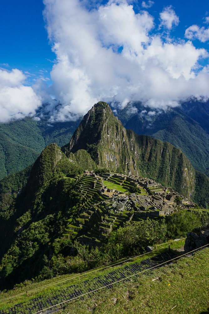
This was after my layer-shedding stop… as you can see, I’m still looking quite bundled, and the mountain is looking a little cloudy.

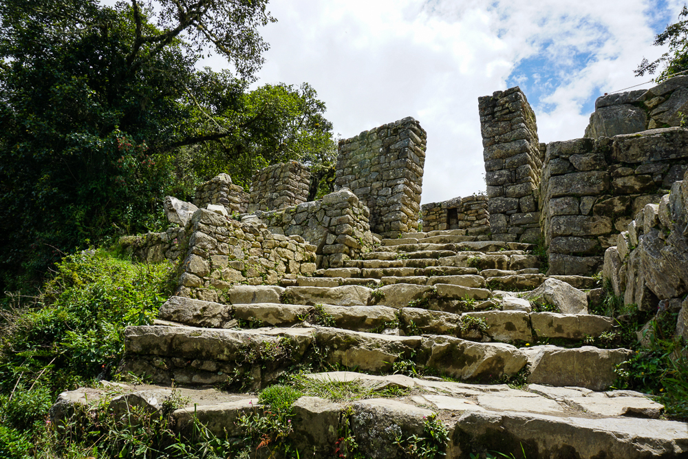
Our first hike was to the Inca Bridge. In my memory, it was completely flat and not hard at all. With my new parent-oriented eyes, I saw that my memory wasn’t quite reliable. On the way to the trailhead, there are these terrible stone steps of all different heights. Some are mid-thigh high, and you wonder what kind of giants the Incas were… even though you know they were probably shorter than you, so the stairs DON’T MAKE SENSE. They were definitely in prime physical condition, probably thanks to running up and down those ridiculous stairs all the time.

After the trail starts, there’s a little up and down, but it’s not too bad. The good news is that the view is majestic, so at least there’s something to distract from the walking.

View from the path to the Inca Bridge.
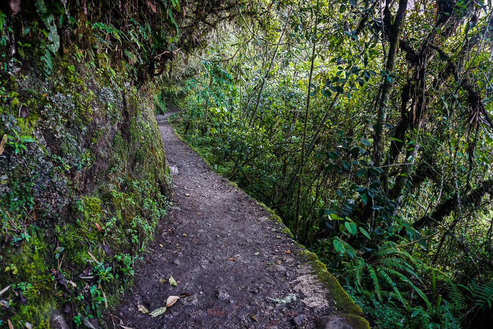
It’s a pretty nice path, and there’s lots of plant cover! It feels a little rainforest-y.
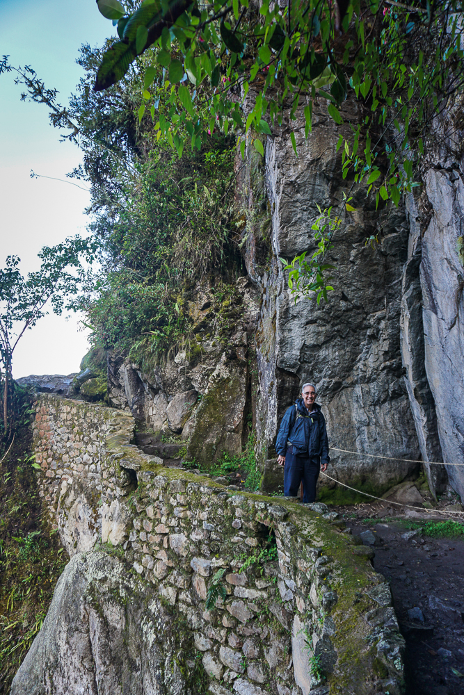
Dad on the way to the Inca Bridge. See? Nice and flat-ish.
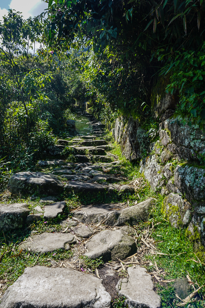
In contrast, here’s a preview of what we hiked up later in the day on the way to the Sun Gate. Some portions of the trail have stairs, like these, and others are just inclined. But no matter what, you’re going up.

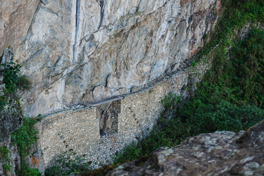
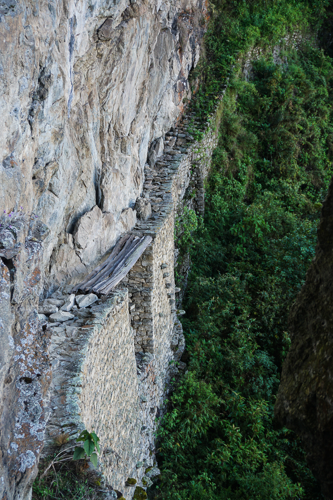
The Inca Bridge itself seems kind of underwhelming, but conceptually, it’s pretty darn cool. A narrow path was built onto the side of the mountain, potentially a secret army entrance to the site, with one 20-foot gap in the path bridged by a long piece of wood. If invaders were coming, the wood could be removed, like a drawbridge, to cut off access from that path.

The Inca Bridge from a distance. How on earth did they build that path?? You can’t even see the bottom because of the plants, but my goodness what insanity.
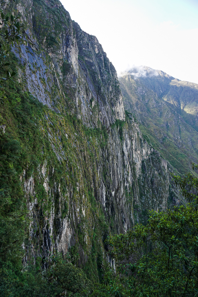
These are some super cool-looking mountains!
I’m not afraid of heights, but I don’t know how I’d feel about 1. walking with only that narrow stone path keeping me from falling to my death, or 2. walking across those wobbly-looking boards. Err. Maybe not.

From there, we set off on our more ambitious hike of the day to Intipunku, or the Sun Gate. For Incas coming from Cusco along the original Inca road (or for people hiking the Inca Trail today), Intipunku is the first point from which you can see the site. It’s quite the view. It’s also crazy to think that you’re walking on a road built over 500 years ago! Back in Inca times, the roads were only open to people traveling on state business, so it was an elite few who had the opportunity to travel the breathtaking path from Cusco.

Mom and Dad, post-Inca Bridge and pre-Sun Gate. That’s why they still look happy…
Yay!! The day cleared up beautifully.
A cool-looking rock along the path.

The hike to Intipunku from the ruins is all uphill with an elevation gain of nearly 1,000 feet (240 meters). I wanted Mom and Dad to get the perspective of the site from above, and this hike is way easier than going up Machu Picchu Mountain (the other option). I told them that we could go at whatever speed necessary, and if they didn’t want to go all the way there, that was fine. Hiking at nearly 8,000 feet (2,400 meters) of elevation is rough! And that’s the elevation at the trailhead, not the top! High-elevation hiking really redefines the word “breathtaking”. We did a LOT of breath-taking and not a lot of oxygen-getting. Honestly, that’s the hardest part of the hike. The uphill isn’t fun, but it’s doable. The added challenge of limited oxygen just really doesn’t help.

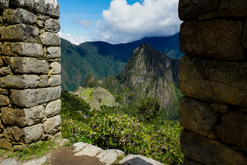
Looking down at the site through some ruins along the way.
I don’t know what this is, but it’s along the path to the Sun Gate and isn’t it pretty?

We kept chugging away, one step at a time. We stopped whenever anyone needed a break. I wasn’t in a rush. The people coming down as we were going up were very encouraging, saying things like, “You’re almost there! Only another 30 minutes.” Mom said that they had a different definition of the word “almost”. Hehe. We passed a woman who gave up maybe 10 minutes from the top. Her ‘encouragement’ was, “The worst part is ahead.” Gee, lady. Thanks a lot. Mom wasn’t fazed. She said, “I’m not giving up this close to the end.” Yeah, Mom!!!

The final stretch… stairs!

We made it. And Mom and Dad both said that it was worth it, so that was a relief. It was only about 10:30AM when we finally arrived, and it felt like we’d already lived an entire day! We took a break at the top, enjoyed the view, and ate some snacks before heading back down the mountain. That had its own challenges because the rocks can get a little slippery, but there were zero falls which means it was a double success. By the time we made it down, we had already been at the site for 6 hours. Ha. We definitely got our money’s worth!

So close you can almost taste it!
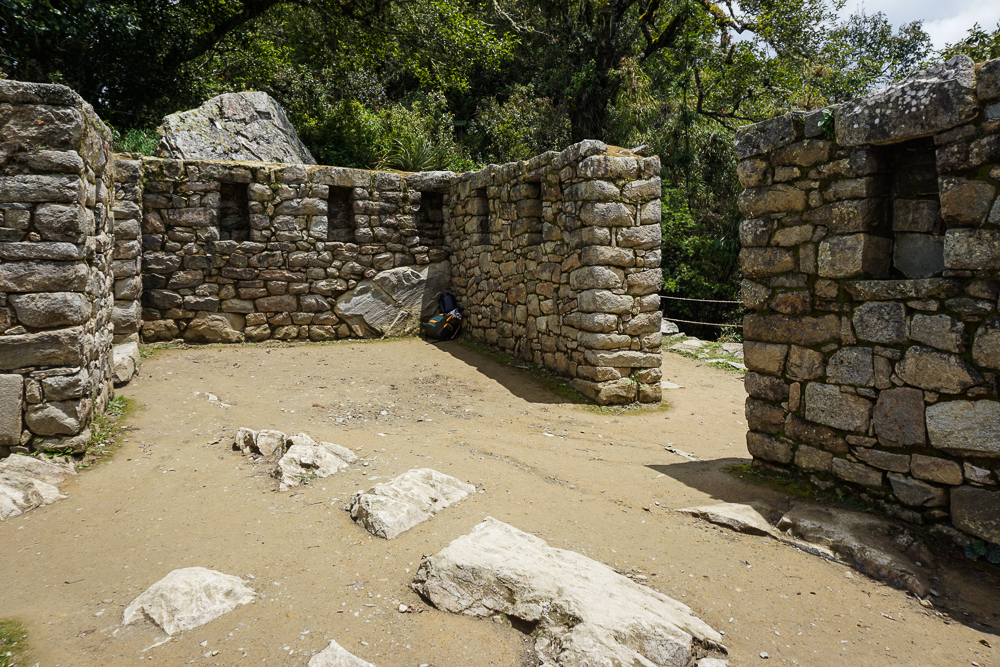
The Sun Gate. And some random guy’s backpack.
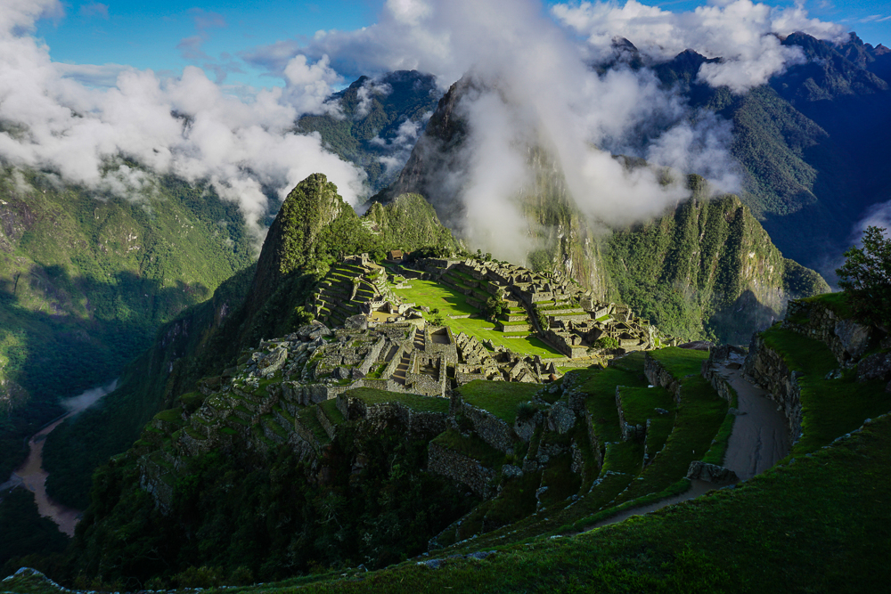
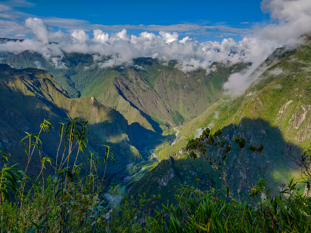
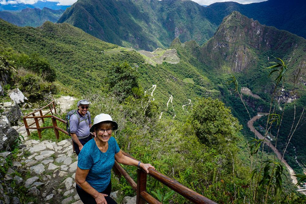
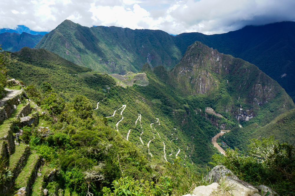
View of Machu Picchu from the Sun Gate. You can also see the switchbacks of the road that the buses have to drive up to reach the site.
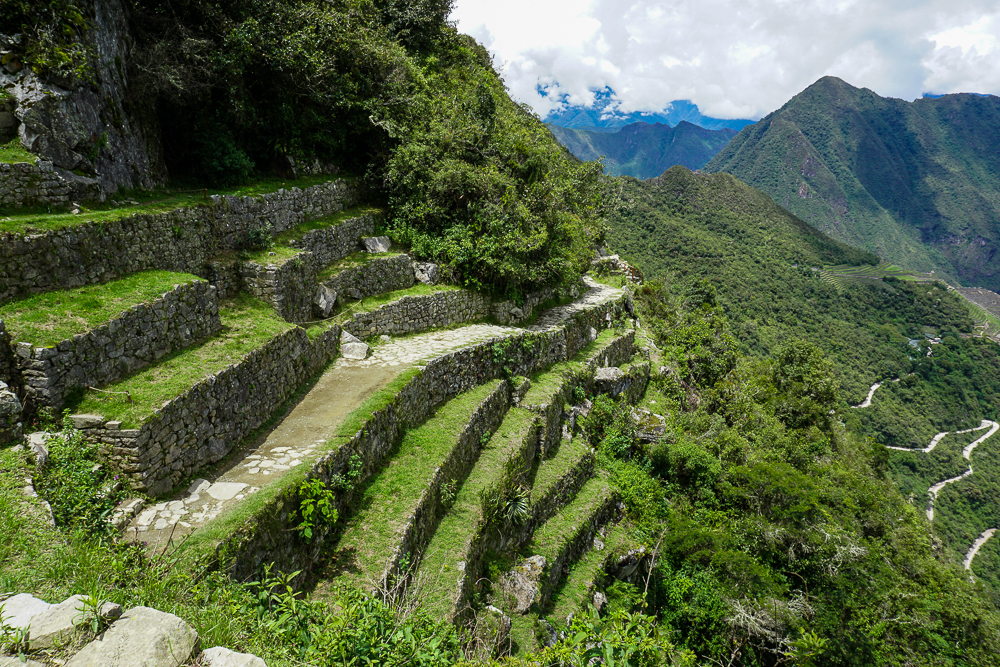
Terracing near Intipunku.
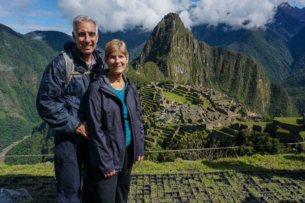
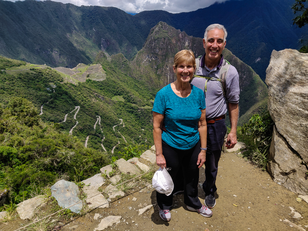
Tired and happy!

Everyone had a teeny bit of energy left, so we headed into the citadel to check out the ruins before calling it a day. Next time, get ready for a tour!