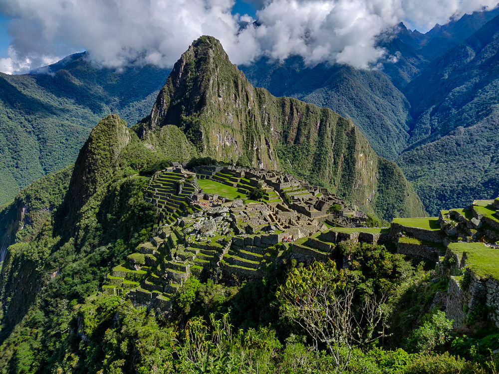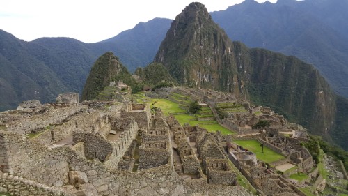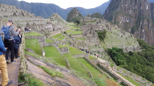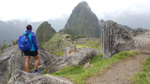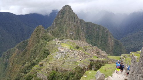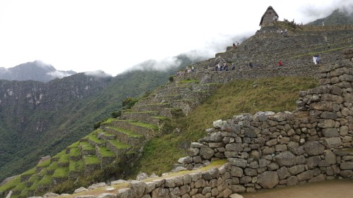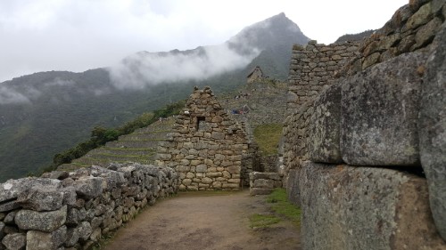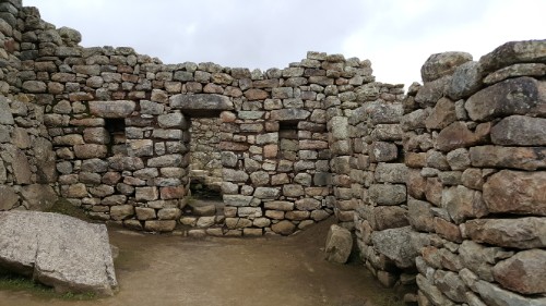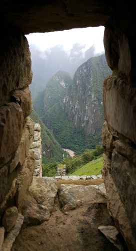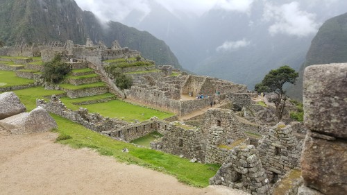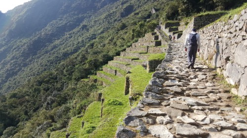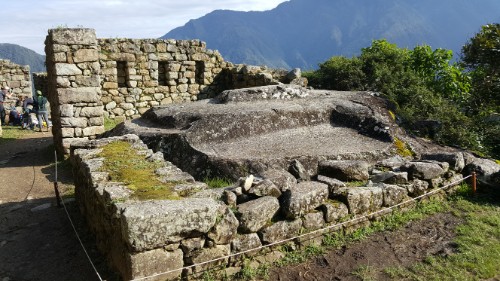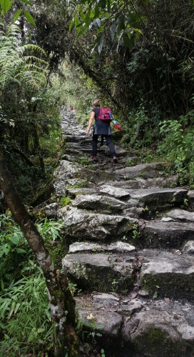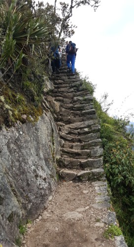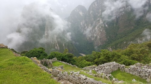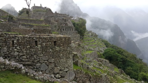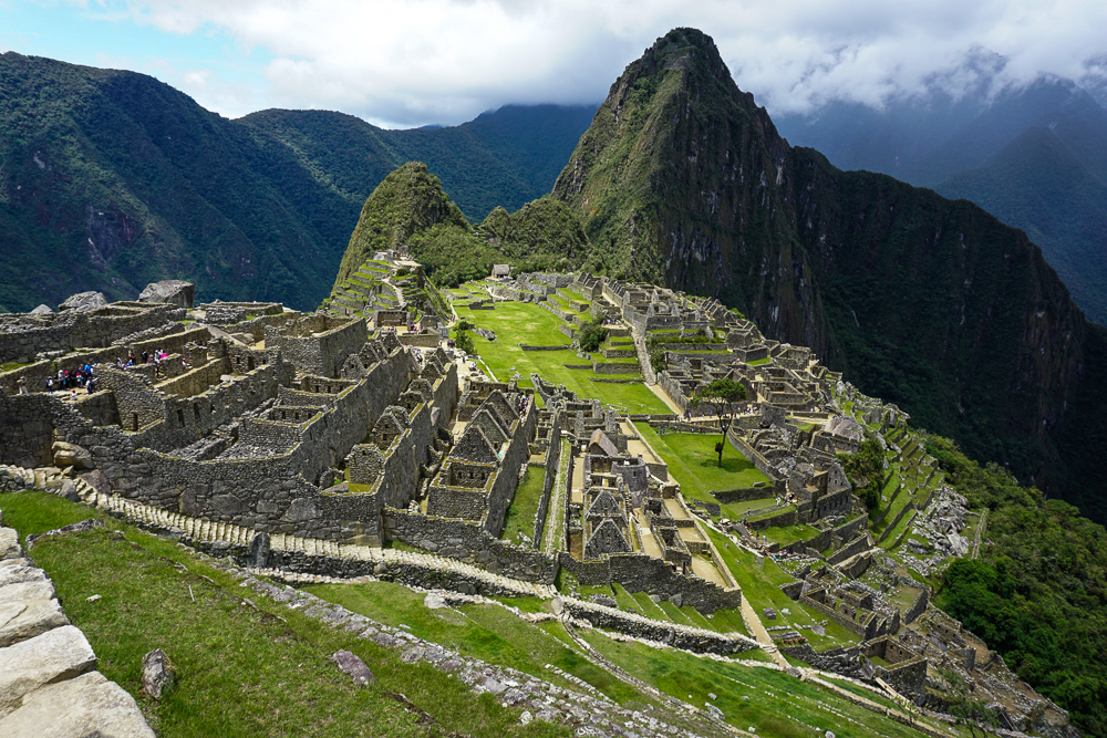
Now that we’ve talked about Inka Pachakuteq and the history of Machu Picchu and have explored the outskirts of the site, it’s finally time to explore the citadel! That’s what they call the main area of buildings onsite even though “citadel” gives more of a fortress vibe, and we’ve already covered the fact that historians think Machu Picchu was most likely a royal estate. That, at least, is the assumption that we’re going to go with as we walk through the site and learn about what the different buildings were potentially used for. Again, everything I say may or may not be true. Thanks to the Incas’ lack of a written language, best guesses are sometimes all that historians can make. So, here are a bunch of best guesses about the ruins at Machu Picchu! Just insert a “maybe” before each statement I make from here on out.
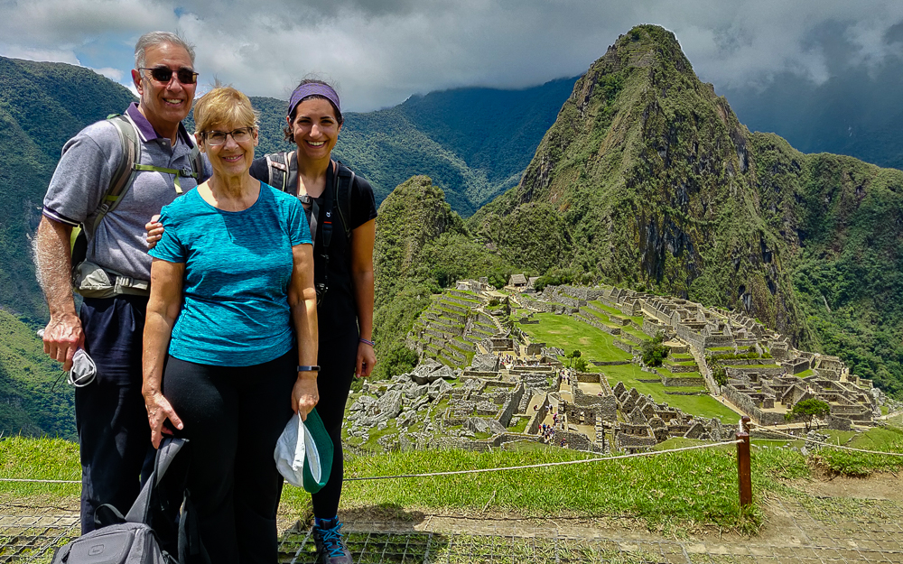
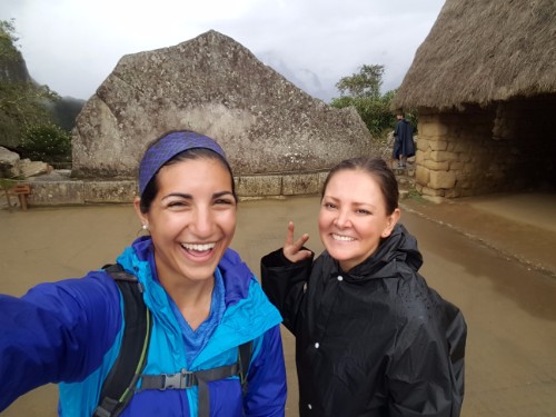
Everyone looking tired but happy after finishing our morning hikes!

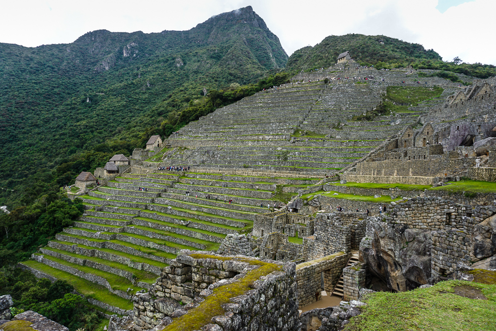
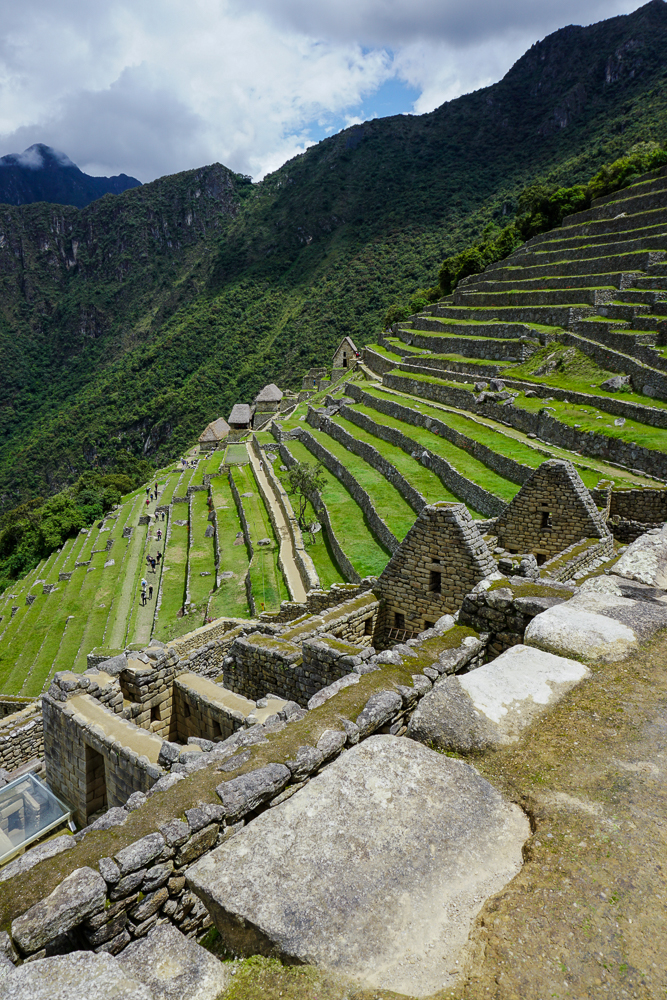
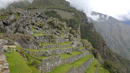
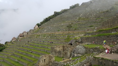
The site can be divided into two main sectors, farming and urban. The farming sector consists of the terraces, many of which are still unexcavated. Vegetation grows quickly in the cloud forest! There are also some buildings around the terraces that may have been used to house farmers, but the majority of the buildings are located in the urban sector/citadel.

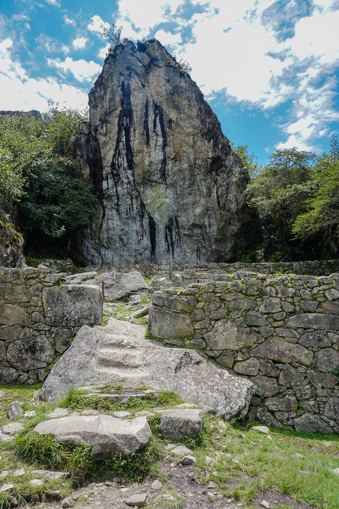
After you enter through the ticketing area, you walk up lots of stairs and past lots of farming terraces until you finally get your first glimpse of the urban sector. There are a bunch of different viewpoints from which you can get a low-flying bird’s eye view, and at one of these is the “watchman’s post” or maybe “the hut of the caretaker of the funerary rock” or “call it whatever you want because who knows”. This three-walled structure has a great view of the citadel and the surrounding valley and is one of the few buildings with a restored thatch roof. Remember that this type of roof would have been standard, so based on that alone, the urban sector would have looked very different. Just outside, there’s a large “funerary rock”, carved into an altar and used for embalming and mummification… or maybe used for animal sacrifices. In the nearby field, a number of skeletons were excavated which is part of the reason for the mummy theory. In that case, the hut would have potentially been used in the mummification process as well.
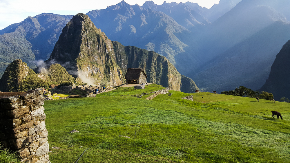
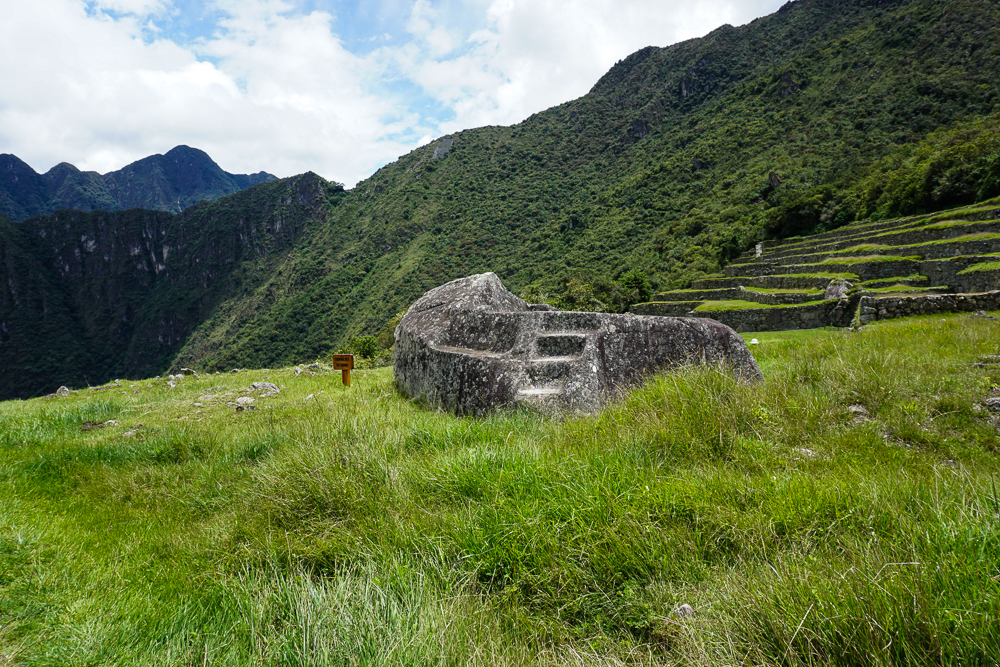
The “upper cemetery” where they found a bunch of graves. You can see the funerary rock at the far end of the field, plus the “whatever it is” hut just behind the rock. (Side note, some of the pictures in this post, including this one, are from my first trip to Machu Picchu. There were a few things that I wanted to show that I didn’t have pictures of from this visit, so if you notice that the weather randomly appears to have changed between pictures, that might be why.)
Funerary rock
I’m going to give you a little preview of our route. We started at the hut that’s out of frame to the upper right. We’ll enter town through the main gate, which is where that big group of people is gathered. From there, we’ll walk through that first group of buildings and then stay to the left to visit the plaza (the dirt patch), go up the Sacred Hill behind it (with all of those narrow terraces). Next, we’ll cross the main grassy plaza to the very back of the site where we’ll see a Sacred Rock, and then we’ll head back towards the starting point through the buildings on the far side of the main plaza. (If that made no sense, sorry! I tried. Ignore me and just continue reading.)

A dry moat separates the outer buildings and farming areas from the urban sector. Through the main gate (that used to have a door with a locking mechanism!), you enter into the upper part of town which contains support buildings like storehouses and public buildings and the remnants of a quarry that likely supplied much of the stone for the buildings. What an exciting welcome to town, right? But it makes sense not to put the really important stuff right next to the city gate, just in case (Lara speculation).

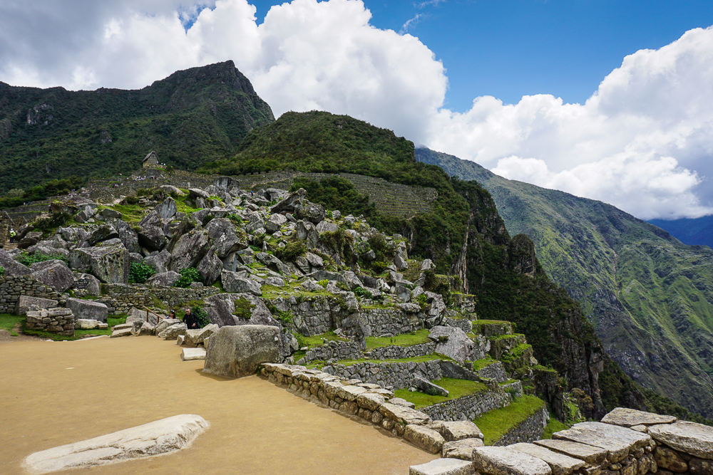
The dry moat runs along that staircase in the front, and the main gate is just out of frame to the left.
The rock quarry as viewed from the Sacred Plaza

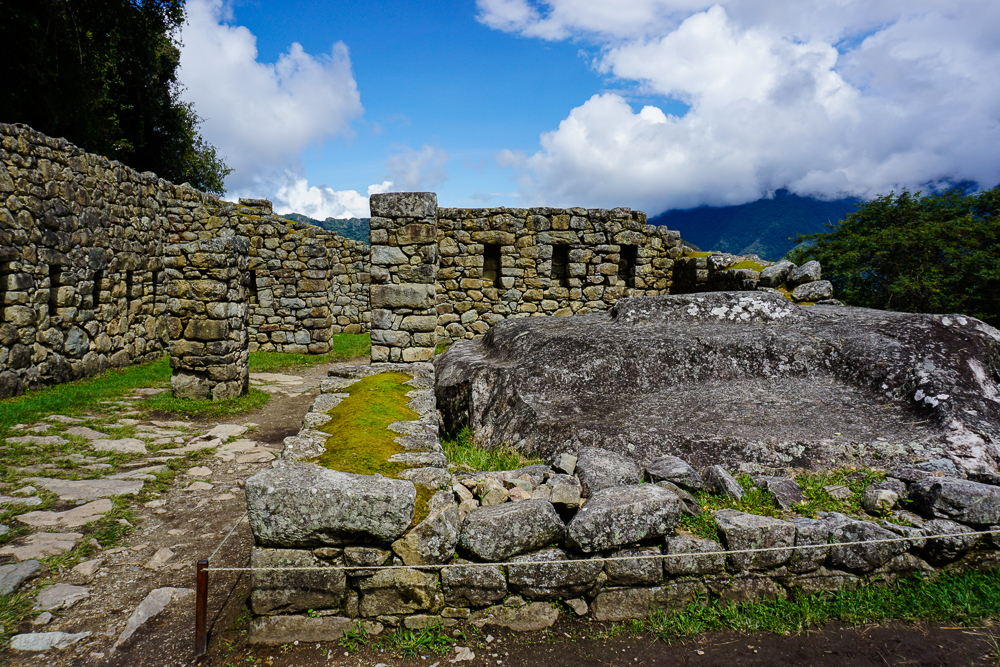
Downhill from these structures is where things start getting interesting. Not surprisingly, the most unique building in the city is the Sun Temple. It has a curved wall with that classic imperial stonework, and it’s built above a giant boulder. The top of that boulder was carved into an altar that was used for animal sacrifices (to read the future in their entrails… ick). This was also where the Inka would come to drink chicha (corn beer) with his “father” the sun, as the Incas believed that the Inka (king) was descended from the sun god, Inti (side note: to keep the royal bloodline pure, each heir had to be a son of the Inka and his sister).
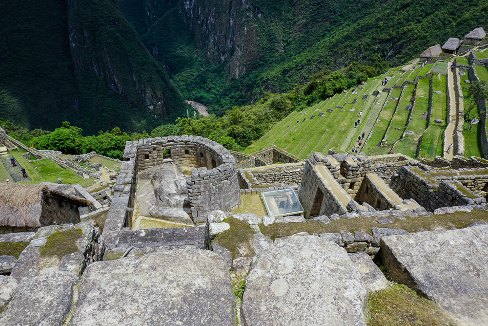
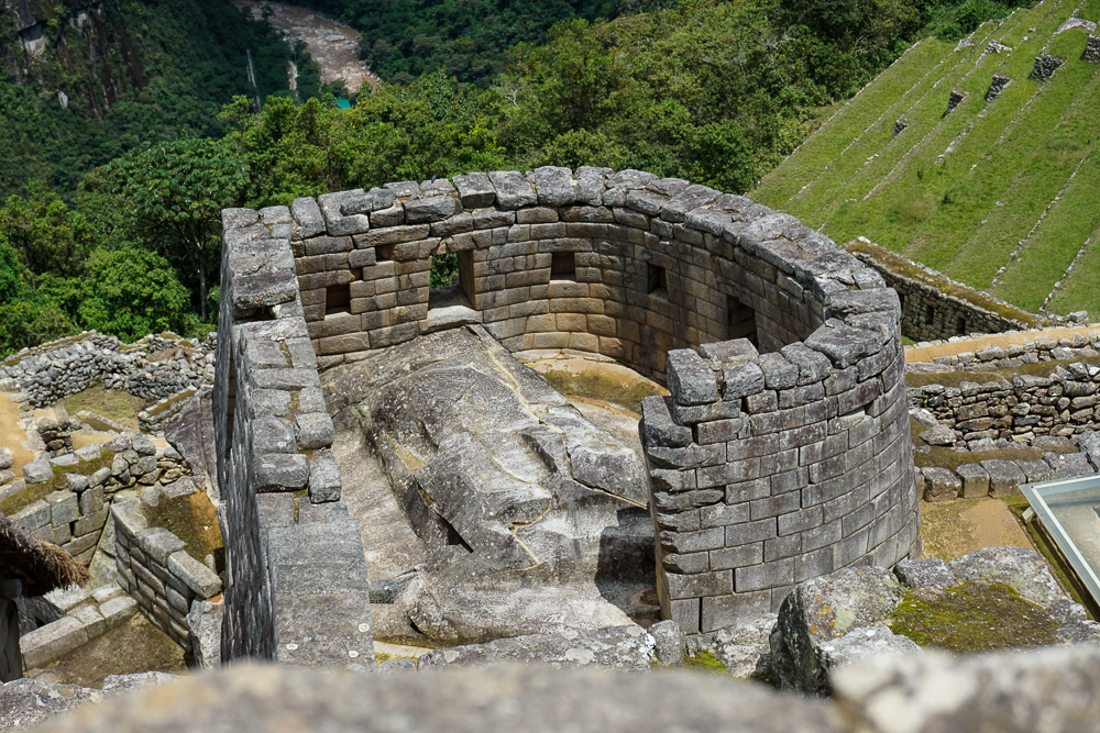
The Sun Temple. There are windows facing to the north and to the east. The east window is aligned to the sun position on the winter solstice.
See the carved rock that makes up the floor? That was used as an altar.

The Incas mummified their dead and treated them a bit like they were still living, so underneath the temple is a “royal tomb”, basically a cave where it is believed that the Inka’s mummy was kept. Even after Inka Pachakuteq died, it is likely that his mummy was brought back to Machu Picchu, kept beneath his father’s temple, and given food and drink (not quite sure about the logistics of that).

Near the sun temple are the royal apartments, aka the residence of the living, pre-mummified Inka. The spring on Machu Picchu Mountain was first directed through the Inka’s apartment so that he could have the freshest possible water, and from there, it flowed through a series of ceremonial fountains. The residence consists of a central patio area surrounded by two large and two small rooms.

Beyond the rock quarry and royal apartments is the main sacred area for the town. A small plaza is bordered by two temples and another room that could have been the priest’s dwelling. You can tell that the temples are important buildings just by looking at their quality stonework.
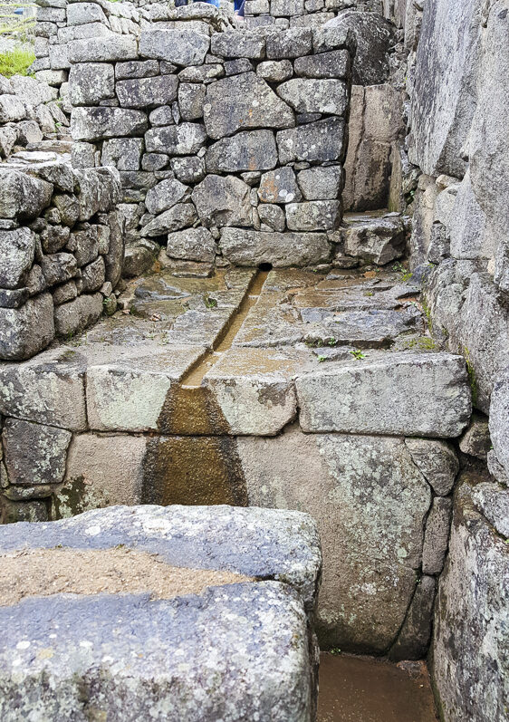
One of the fountains that used to flow with water from the spring. The water would still flow through here, but it’s been redirected for tourism purposes (bummer).
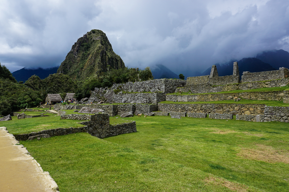
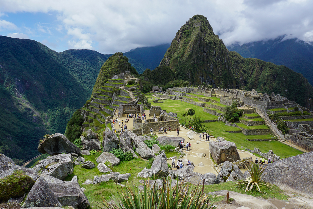
View from the quarry. Straight ahead, you can see the Sacred Plaza with its two temples, and behind that is the terraced Sacred Hill. Another temple, the Moon Temple, is located on the back of Huayna Picchu, the tall mountain peak that you see straight ahead.
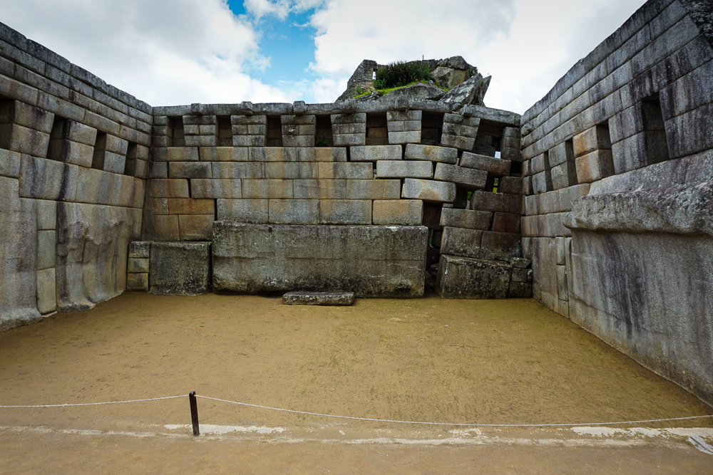
The main temple has only three walls. They’re not sure exactly who this temple was dedicated to, especially since the Sun Temple is elsewhere, but clearly it was someone important! You can see that the collapse in the corner isn’t because the rocks shifted. The bottom rock is actually sinking into the ground, so it’s likely some sort of foundational problem. That could have been caused by an earthquake, or it could have been a water-related failure.
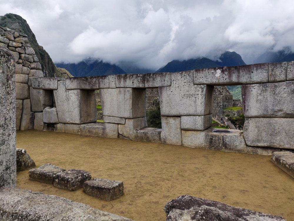
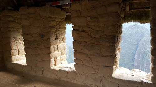
This is the Temple of Three Windows. Can you guess how it got its name? It likely was covered by a gabled thatch roof with the side nearest to us left open.
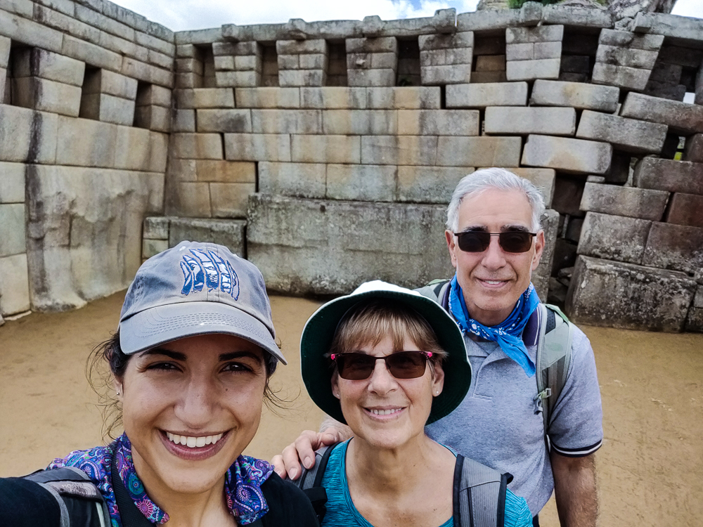
With the main temple!

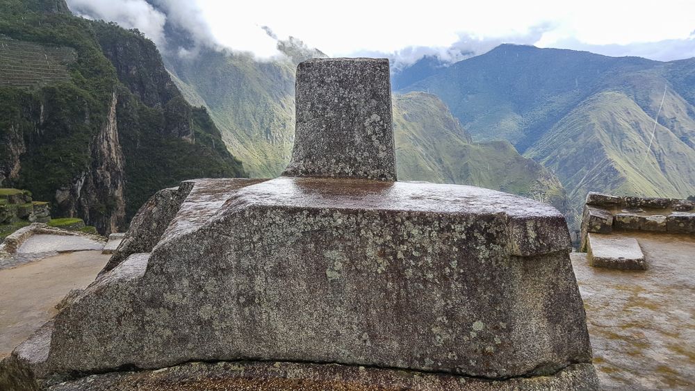
The sacred spaces continue up “Sacred Hill”. There are more temple-like buildings with high-quality stonework, but again, the exact use of each space isn’t really known. At the top of Sacred Hill is one of the only remaining “Intiwatana”, or “sun fastener”, stones. This carved rock was used during the winter solstice celebration, Inti Raymi, to symbolically tie the sun to the earth. Inti Raymi was a festival to ask Inti not to abandon his people, to move closer instead of farther away. Otherwise, the stone was also used to measure the solar year and keep track of important sun dates like equinoxes and solstices. It was not, however, a sundial or solar clock. The Incas didn’t have clocks as they didn’t measure days in hours and minutes. This hill was also the priest’s pulpit. He could stand high above the main plaza and address the people gathered below.
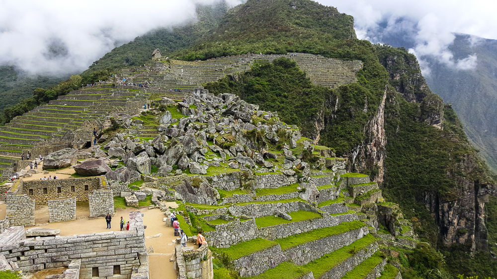
Walking up Sacred Hill. You can see the Sacred Plaza in the bottom left, with the main temple closest to us and the maybe-priest’s-house across the plaza from there. And then there’s the rock quarry, and the hut where we started is perched up on the terraces near the top of the picture.
Intiwatana. Originally, it was probably polished… the rain is giving it a decent shine in this picture. I’m imagining a granite countertop-level shine.
The entrance to the site is on the far end straight ahead, and Sacred Hill is the one to the right with all of the terraces. The terraces on Sacred Hill are very shallow. This shows that they were mostly for protecting against erosion and were also used as decorative gardens, not for actual farming.
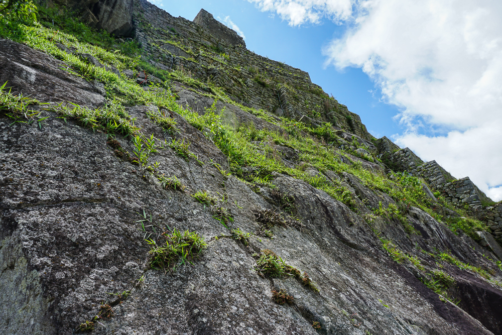
Looking up the side of Sacred Hill. You can see those shallow terraces at the right edge of the picture. From this angle, it’s pretty clear why they decided this needed some erosion-prevention terraces!
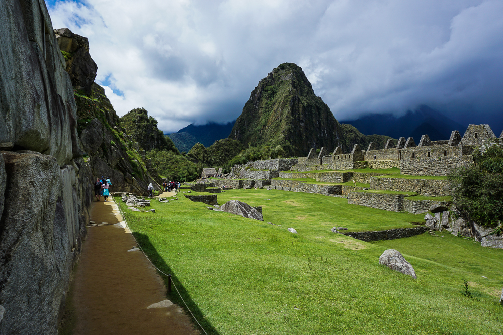
I like this picture because I think it really shows how important the terraces are to making this site a viable location for building. Without those terraces, there’s no way that the site could have handled the weight of the buildings, and erosion definitely would have caused some serious collapses. I also like looking at the main plaza and seeing the effort that went into creating such a large, flat space.
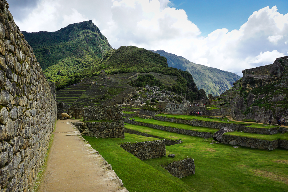
Sacred Hill is up to the left. The main plaza, in the middle, was used for festivities and ceremonies.

Across the lawn, right in front of Huayna Picchu, is a “Sacred Rock”. It’s clearly important because a stone pedestal was built around it (it’s a natural projection of the mountain), but what were people worshipping there? It supposedly could look like a puma or a guinea pig, but personally, I don’t see it. Another possibility is that it was simply a representation of a sacred mountain peak. Mountains were believed to have spirits that were considered protectors of the people. I’m going to go with that because I can definitely see “mountain” in this rock.
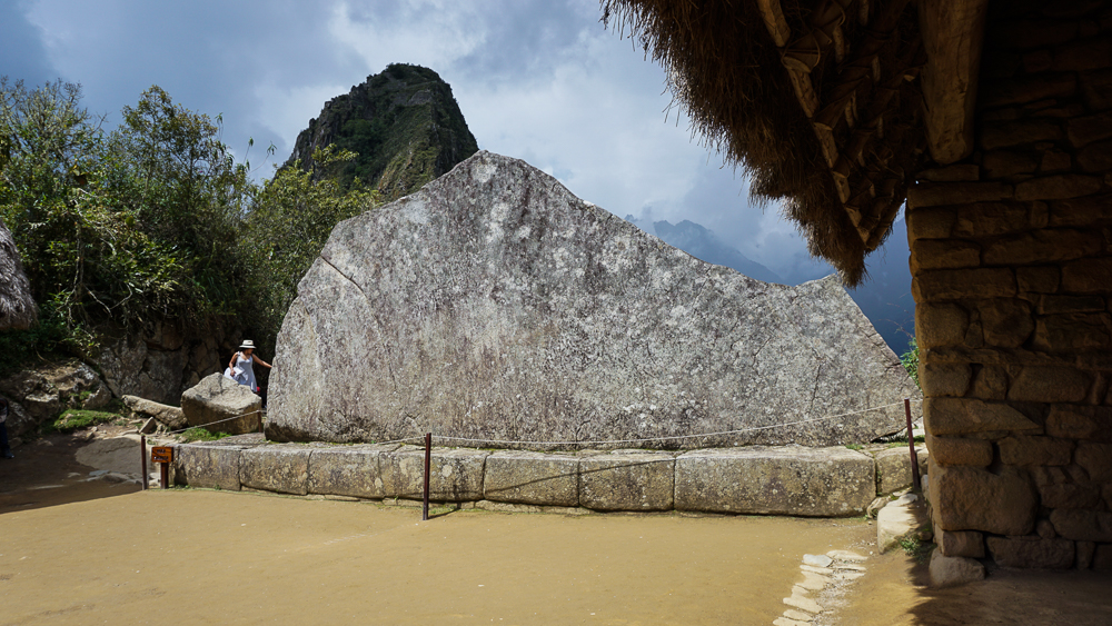
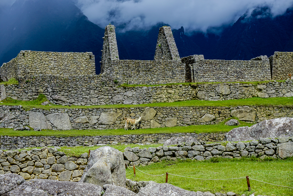
You tell me… puma? guinea pig? or mountain? This rock was probably polished as well.
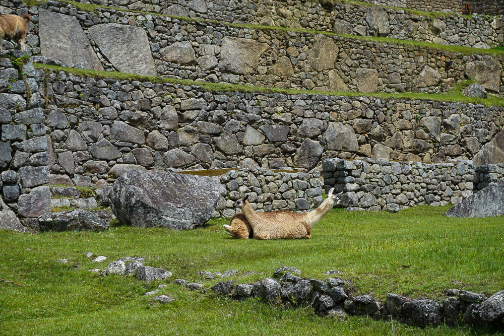
It seems like a pretty cushy existence to be a Machu Picchu alpaca. They just wander around, eat, and get fawned over by tourists.

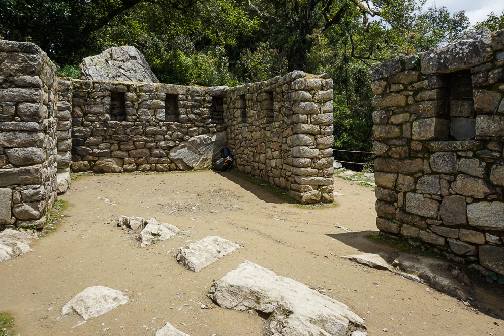
Finally, moving back towards the main gate but on the other side of the main plaza, there are TONS of buildings. These were apartments for support staff, storehouses, and other utility spaces. There are various interesting features sprinkled throughout these rooms, including these two “water mirrors”. Some guess that they were used to reflect the night sky and study the stars, but that seems silly because why look down at a reflection when you could look up at the real thing? Oh well, at this point, what’s one more unsolved mystery?
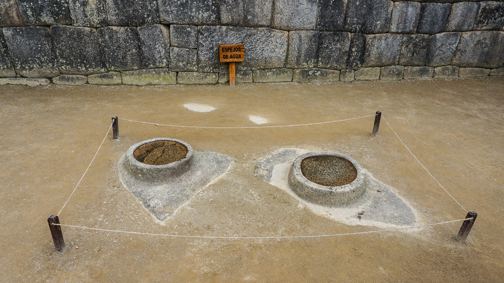
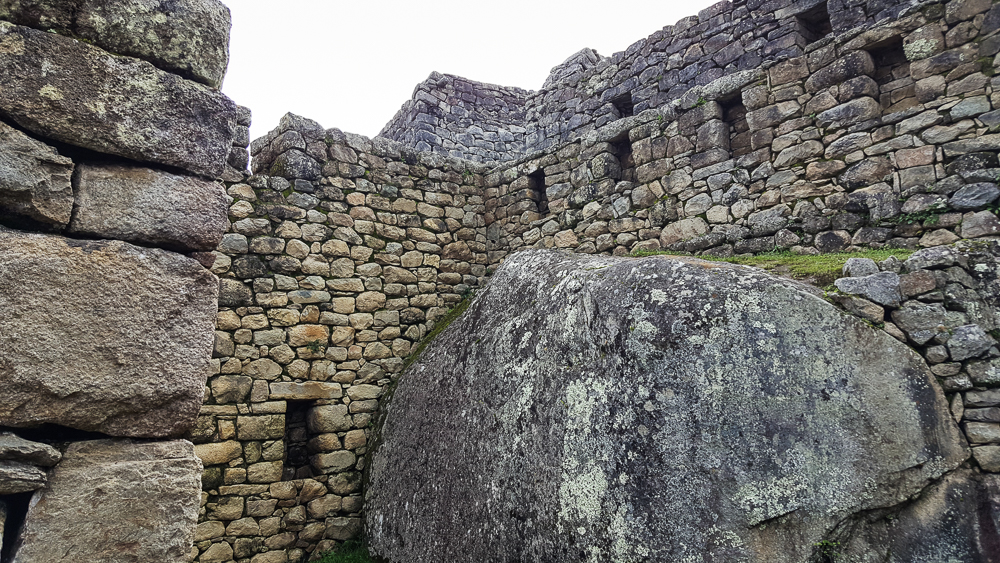
Water Mirrors. Does it not seem a bit silly to use these for astronomical purposes? To use these liiittle water pools rather than the big night sky?
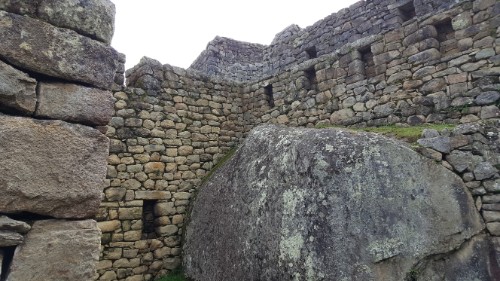
I’m obsessed with the way that they integrated these ginormous boulders.
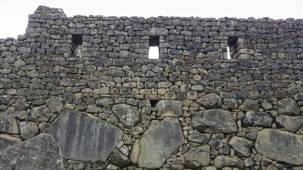
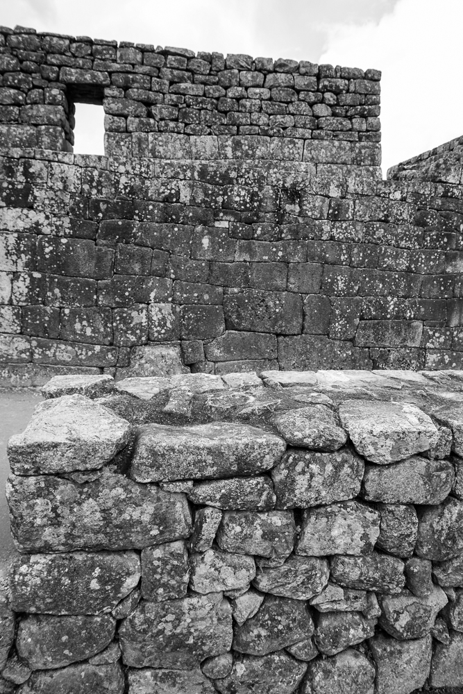
I don’t know why things like this still surprise me, considering I know how skilled the Inca stonemasons were. But it’s so seamless!
This is a nice wall.

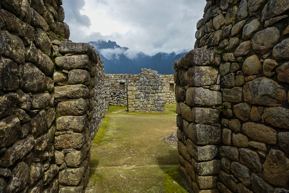
On the way out, you walk through one of my favorite parts of town. I don’t know what it was used for… maybe just more support buildings? But the reason I love it is because there are large boulders all over the place, and the buildings are built right into/onto/around them. It’s so cool! There’s one in particular that’s very important, the Temple of the Condor. There’s a huge rock at the center that somehow looks like a landing condor? Condors, pumas, and snakes were sacred animals for the Incas, so it was likely an important religious space.
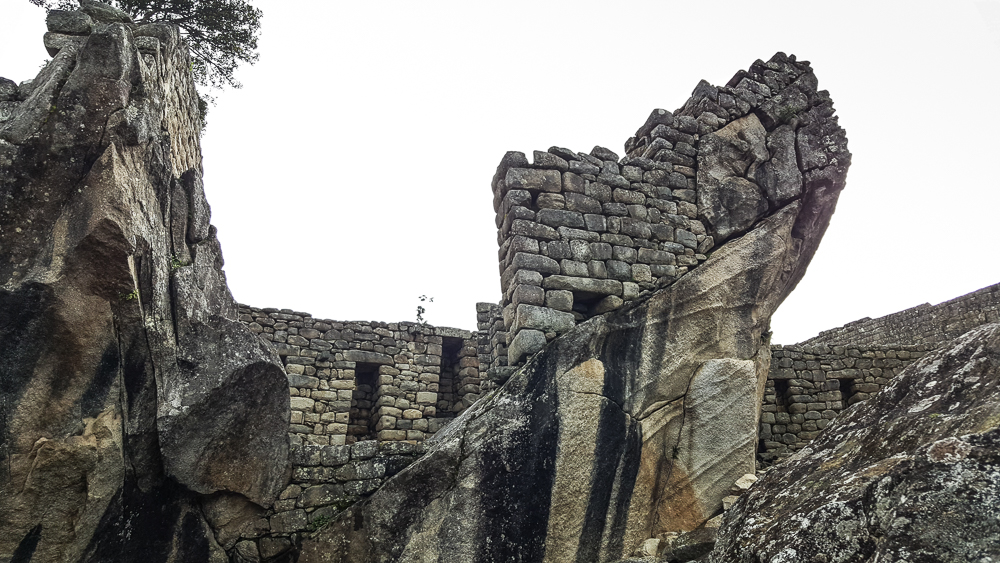
This is the world’s least helpful photo of the Temple of the Condor, but clearly I was more focused on the ridiculousness of the wall on top of that slant than on the entirety of the condor-shaped rock. I’m pretty sure that the head is the part on the left side of the picture, and that crazy slanted rock is maybe one of the wings?
This is what happens when you do most of your learning about a site AFTER you visit. To be fair, though, it’s very hard to understand what anything is talking about until you’ve been there. I guess that’s one argument for taking a tour, but even so, I think I still prefer exploring on my own.
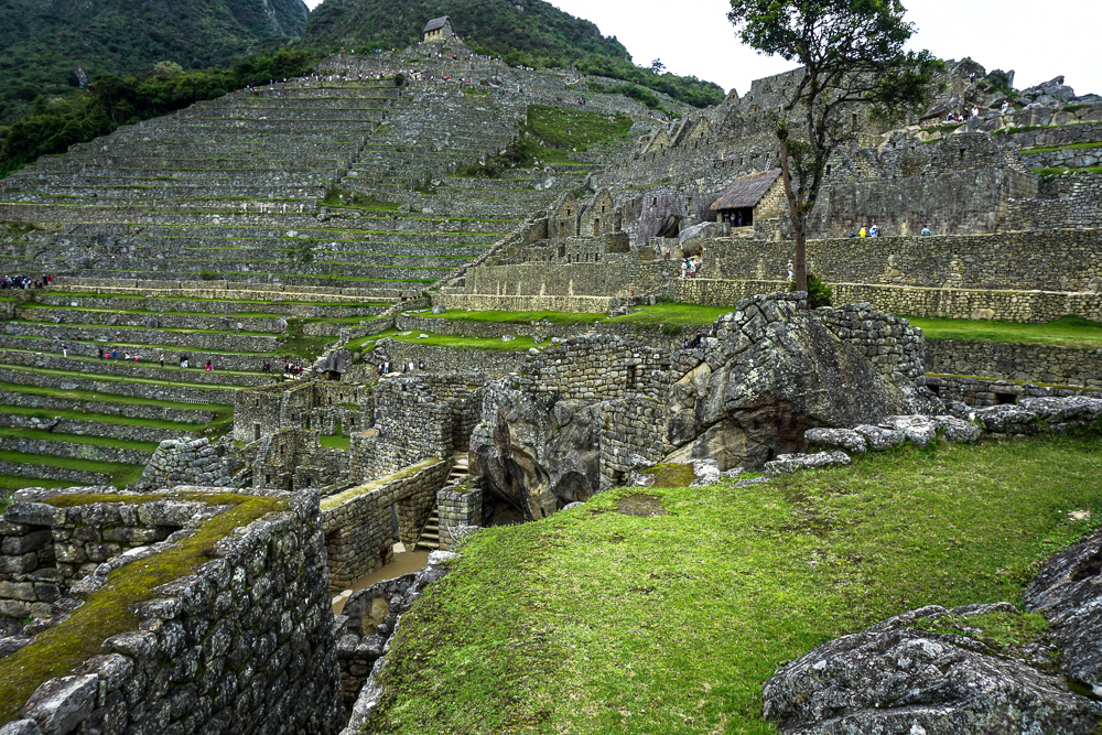
In the bottom middle, you can see the big rock in the Temple of the Condor. You can also see the hut from the very beginning of our tour in the top middle!

By the time we were about halfway through the citadel, we were all more than ready to call it a day. Mom and Dad actually said before we even entered the town that they felt like they’d already seen enough. I insisted that we walk through, but I understood their exhaustion. We had already done a lot of walking! We walked through the exit gates EIGHT hours after we walked in. Eight. Hours. But we did it! We survived! And we did/saw everything we wanted to do/see which is VERY impressive.
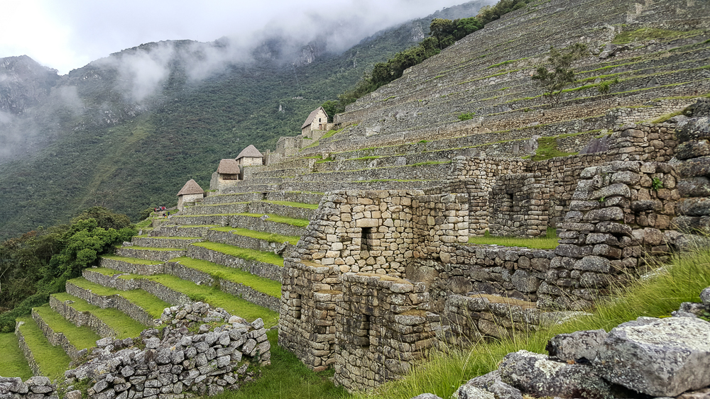
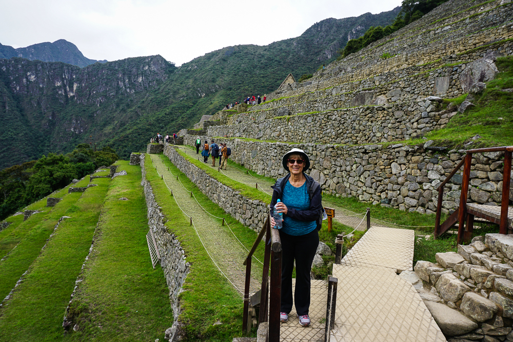
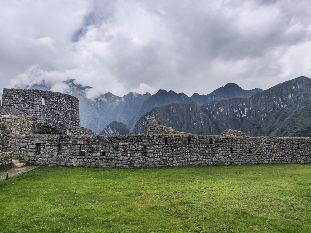
Farming terraces along the edge of the citadel. The buildings you see in the distance could have been housing for farmers.
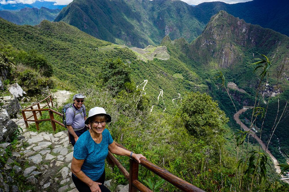
Survived! Mom’s somehow still smiling after 8 hours of walking.

We took the bus back to town and then mostly hung out in our hotel until it was time to head to the train station for our ride back to Cusco. We were taking a train that went all the way back to the city, rather than the other option of having to transfer to a car in Ollantaytambo. Good in theory, but I probably should have looked more closely at the schedule. It’s insane. The train from Machu Picchu to Ollantaytambo takes about 1:45. To drive to Cusco from there would take about 2 hours. The train, on the other hand, took nearly 3 HOURS. How? Well, please direct your attention to the helpful map below. I traced the train tracks in blue.
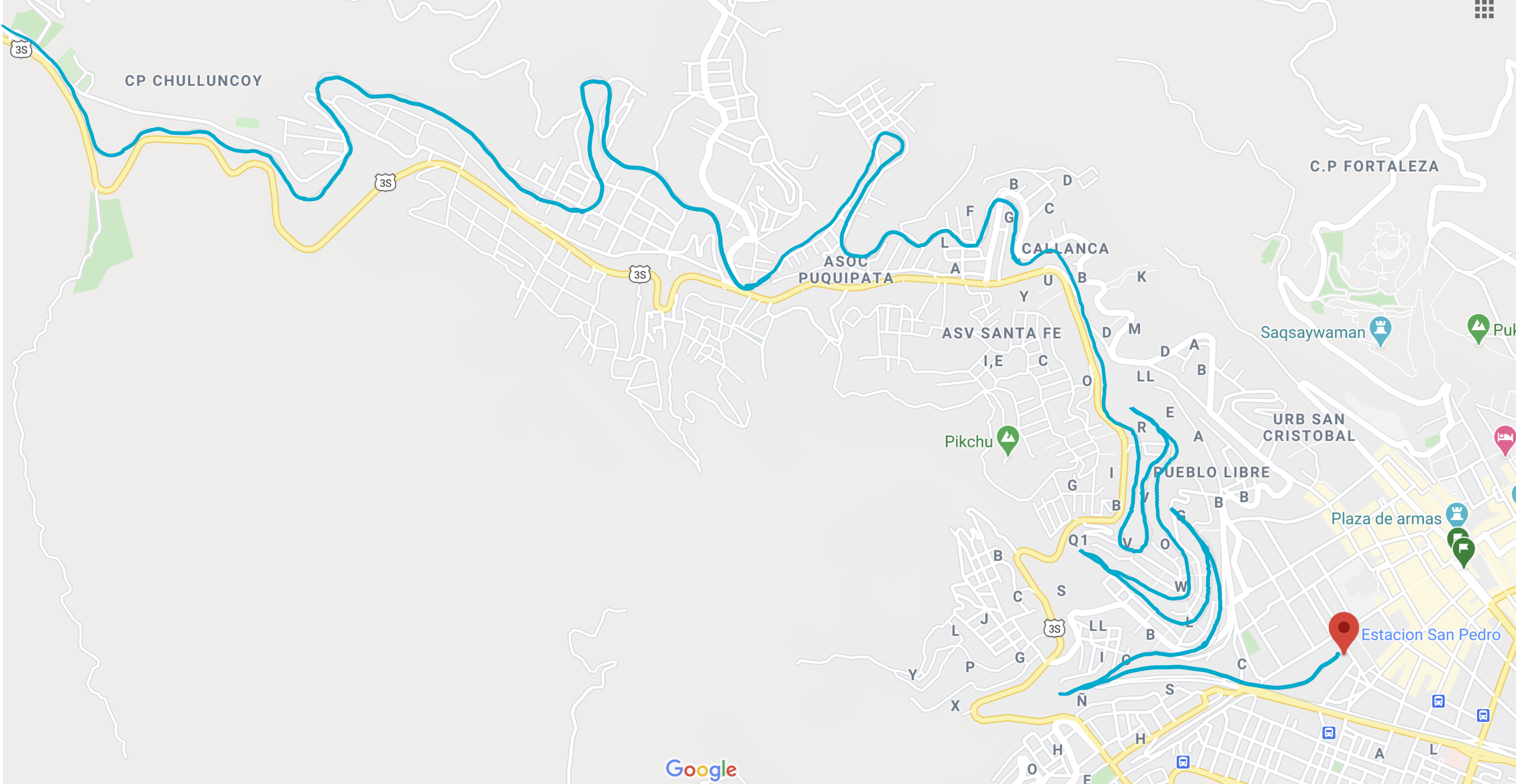
Have you ever seen such a route??

When we felt like it was time for the ride to be over, we called over the train attendant and grilled him for answers. We could literally SEE Cusco, and he said it was still going to take at least a half-hour to arrive at the station. I was so exhausted that I almost cried. He explained that in order to get down into the valley, the train goes down a series of switchbacks. Switchbacks! For a train! It hits a dead end, they switch the tracks, the back of the train becomes the front, and it continues on until the next dead end. I ranted in delirious Spanish about how silly that was, and he excused himself/escaped at the first opportunity.

Eventually, though, we made it. Everyone was tired of sitting, so we walked the 15 minutes to our hotel and collapsed. Talk about a long day.

Manco Cápac Plaza in Aguas Calientes. Manco Cápac is the legendary first Inka, and it’s uncertain whether he actually lived or if he’s simply a legend. He’s one of the main characters in the legend that explains the beginnings of the Inca civilization.
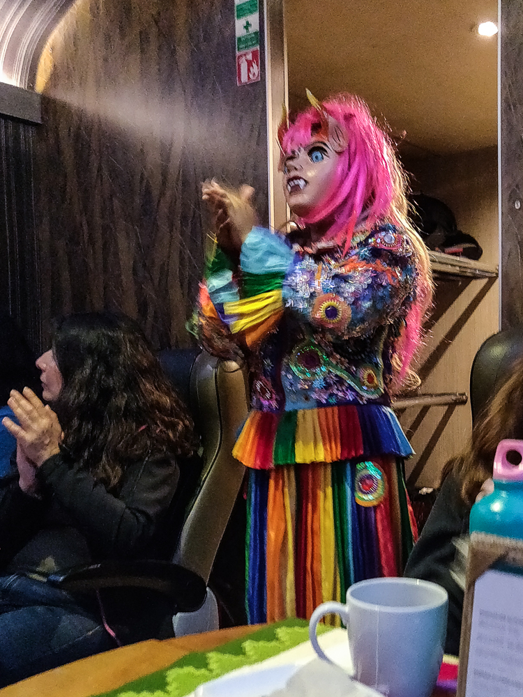
The ride home also included some entertainment, including a fashion show of alpaca clothing products (surprisingly entertaining) and some interesting dances with this Andean folk character.

Related Posts

Inka Pachakuteq and the History of Machu Picchu – learn about the Inka who built Machu Picchu and how it came to be

Machu Picchu: Inca Bridge and Intipunku (Sun Gate) – take two hikes to interesting features near the citadel

Machu Picchu – come along on my first visit to Machu Picchu, including the hike up Machu Picchu Mountain

Ollantaytambo – explore another royal Inca estate!

Cusco: Q’enko and Saqsayhuaman – admire some impressive Inca stonework at Saqsayhuaman

Machu Picchu day!!! After three days of visiting ruins all over the region, everyone in the group was excited for a day of… visiting ruins! It may seem like you’d eventually get to the point where you’re like, “Ugh, MORE???” but at least for me, I’ve seen a LOT of Inca ruins and am still not tired of them. It’s not just me, either! My parents, Benjamin, and Jocelyn all said that they were surprised by how different all of the sites we visited were and happy that we saw as many as we did.

Anyway, like I said, we were all excited! When my alarm went off at 4:30AM, I practically leaped out of bed I was so pumped! Okay, that’s not true. Is it even physically possible to leap out of bed at 4:30 in the morning? Instead, I grumbled, forced my eyes open, and prayed that my alarm was set to the wrong time. No such luck.

By 5AM, we were walking from our hotel to the bus stop to ride up the mountain to the ruins. The bus line was already shockingly long, even though the first bus didn’t leave until 5:30. Luckily, it’s probably the most efficient operation in all of Peru, and even though we were on maybe the fourth bus, we still were at the site by 6:05, only five minutes after our ticket time. Impressive!

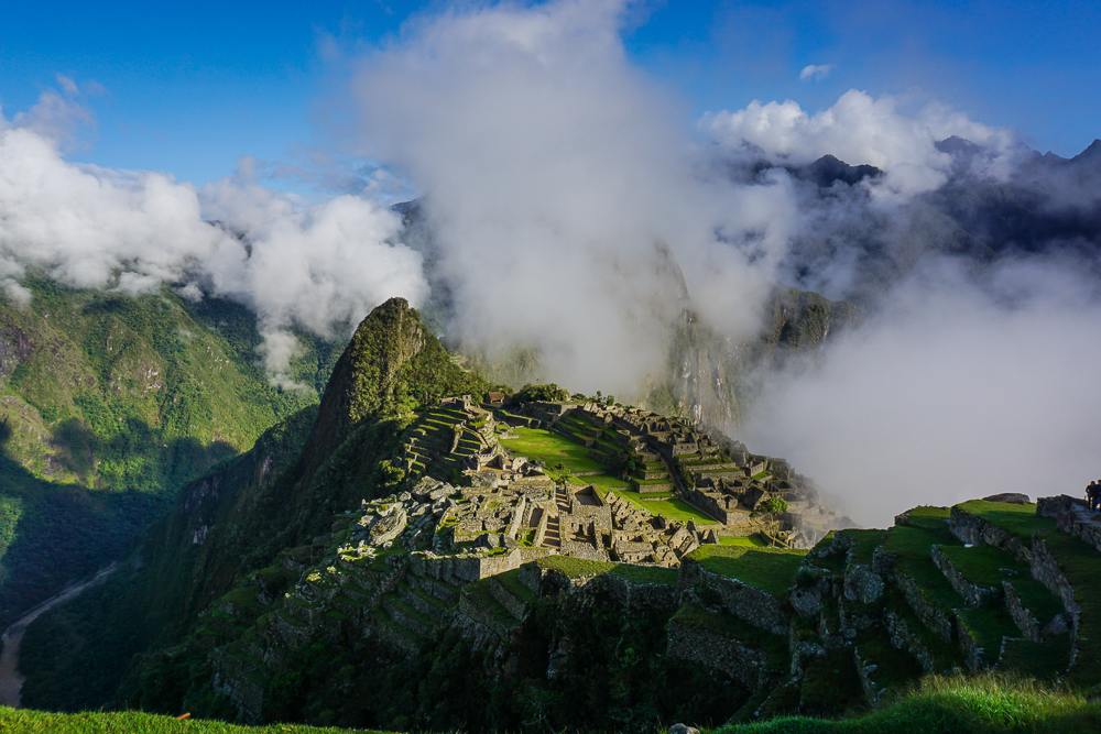
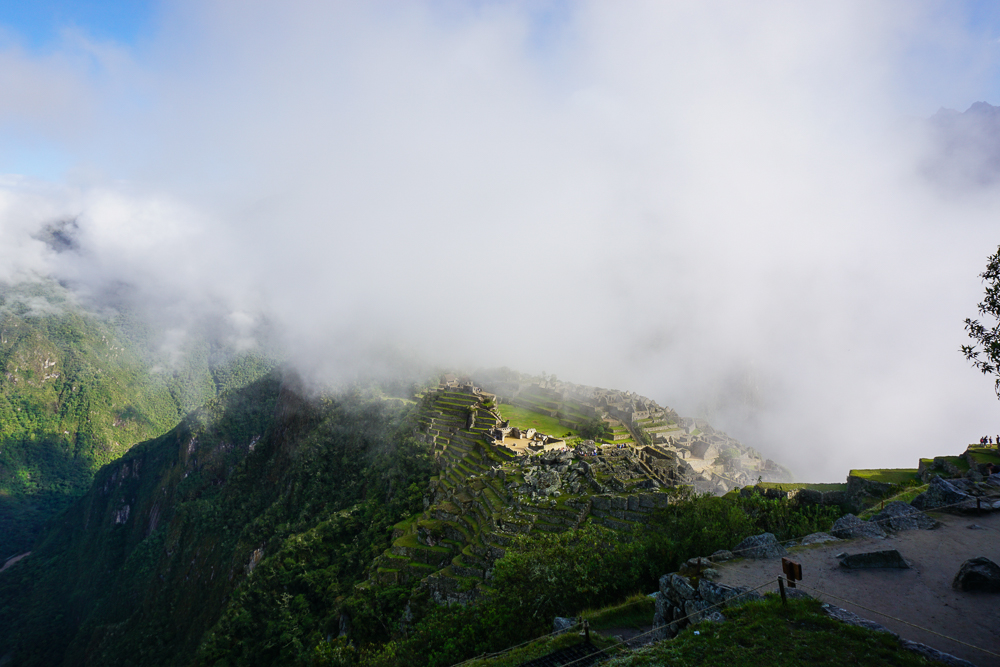
Once we entered the site, my parents and I parted ways with Jocelyn and Benjamin so that we could all go at our own speed. They were also hiking up Machu Picchu Mountain, something we were definitely NOT doing (I did it last time I visited Machu Picchu… it’s literally ALL stairs. Endless. Stairs). We were, however, planning to do the two non-ticketed hikes to the Inka Bridge and the Sun Gate. As we walked up the mountain to the start of the first hike, we stopped at some viewpoints overlooking the site. The weather was a little iffy, but I was hoping the sun would clear out the clouds as the day progressed.

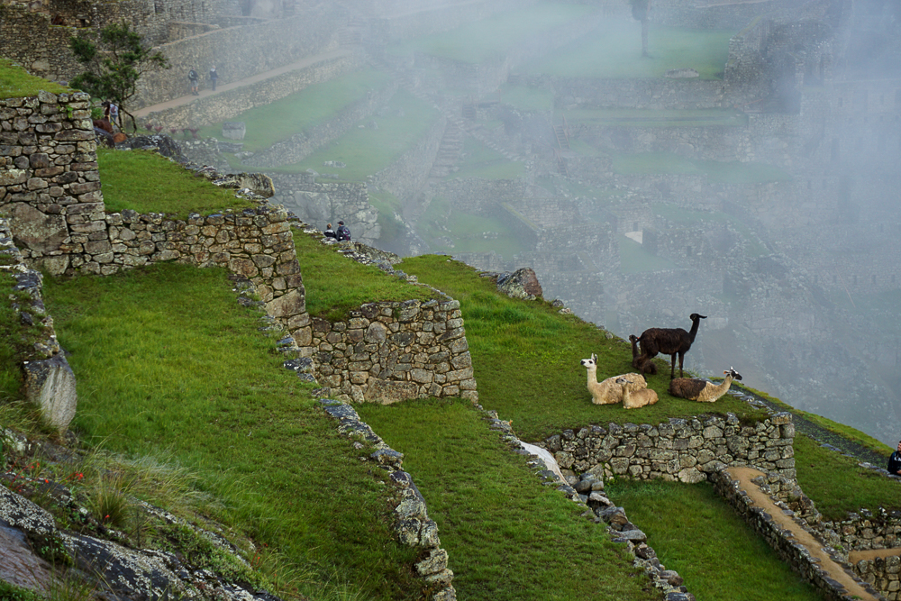
Alpacas, enjoying the morning mists.
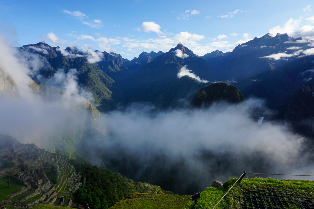
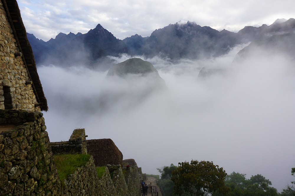
The fog sure gives the site an eerie quality, doesn’t it?

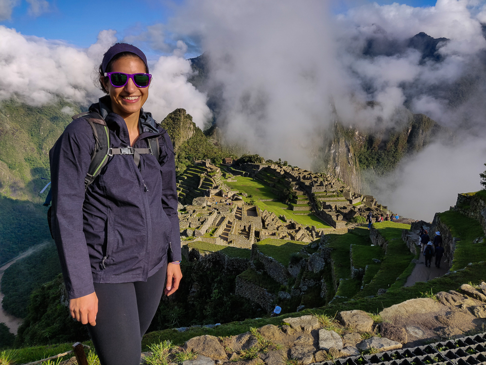
Machu Picchu is one of those places where they tell you to dress in layers and be prepared for a year’s worth of seasons in one day. We were a little worried when we walked in and felt like we were inside of a cloud, but the fog was moving fairly quickly, and we had some moments of good visibility. The key word is “moments”. At one point, while enjoying a clear view of the citadel (what they call the “town” part of the site), I started getting overheated and decided I needed to ditch some layers/apply sunscreen. By the time I finished my wardrobe change, a thick fog had rolled in, completely blocking the view again… and the sun. I put my jacket back on. Dad was laughing at Mom and me because we did two outfit changes without even moving.

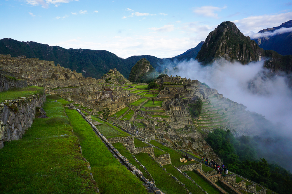
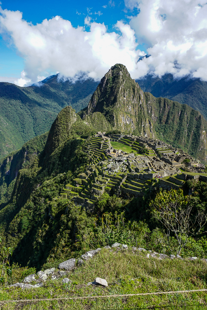
Kind of a clear view, but don’t let yourself be fooled.
Here comes the fog!
Byeee, Machu Picchu!
This was after my layer-shedding stop… as you can see, I’m still looking quite bundled, and the mountain is looking a little cloudy.

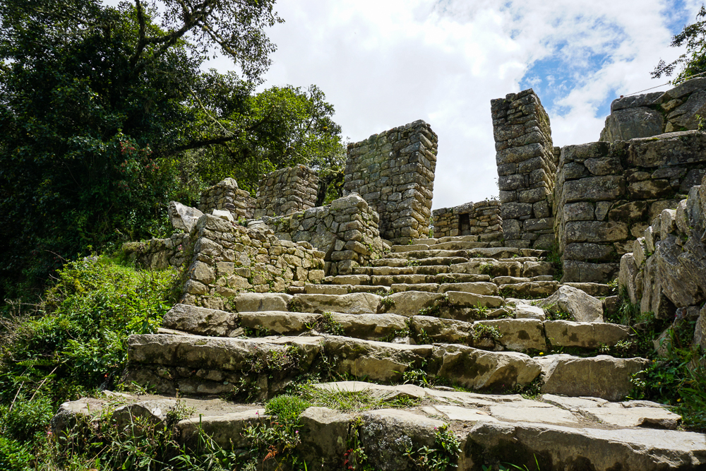
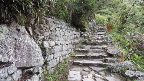
Our first hike was to the Inca Bridge. In my memory, it was completely flat and not hard at all. With my new parent-oriented eyes, I saw that my memory wasn’t quite reliable. On the way to the trailhead, there are these terrible stone steps of all different heights. Some are mid-thigh high, and you wonder what kind of giants the Incas were… even though you know they were probably shorter than you, so the stairs DON’T MAKE SENSE. They were definitely in prime physical condition, probably thanks to running up and down those ridiculous stairs all the time.

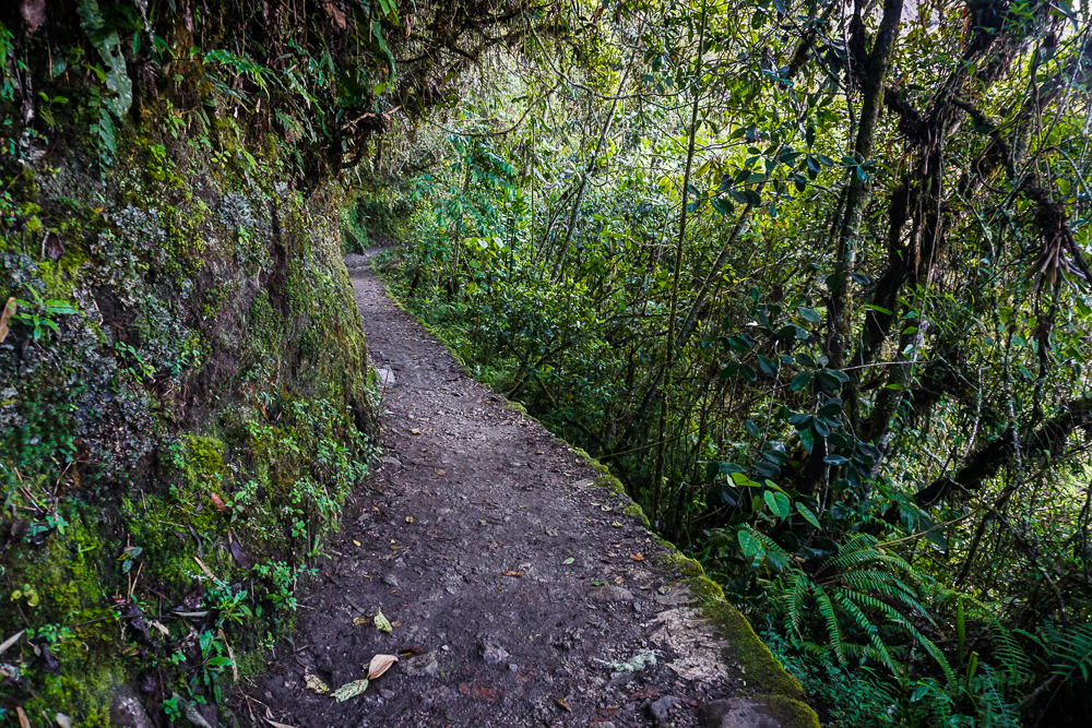
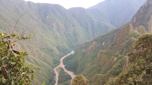
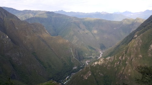
After the trail starts, there’s a little up and down, but it’s not too bad. The good news is that the view is majestic, so at least there’s something to distract from the walking.

View from the path to the Inca Bridge.
It’s a pretty nice path, and there’s lots of plant cover! It feels a little rainforest-y.
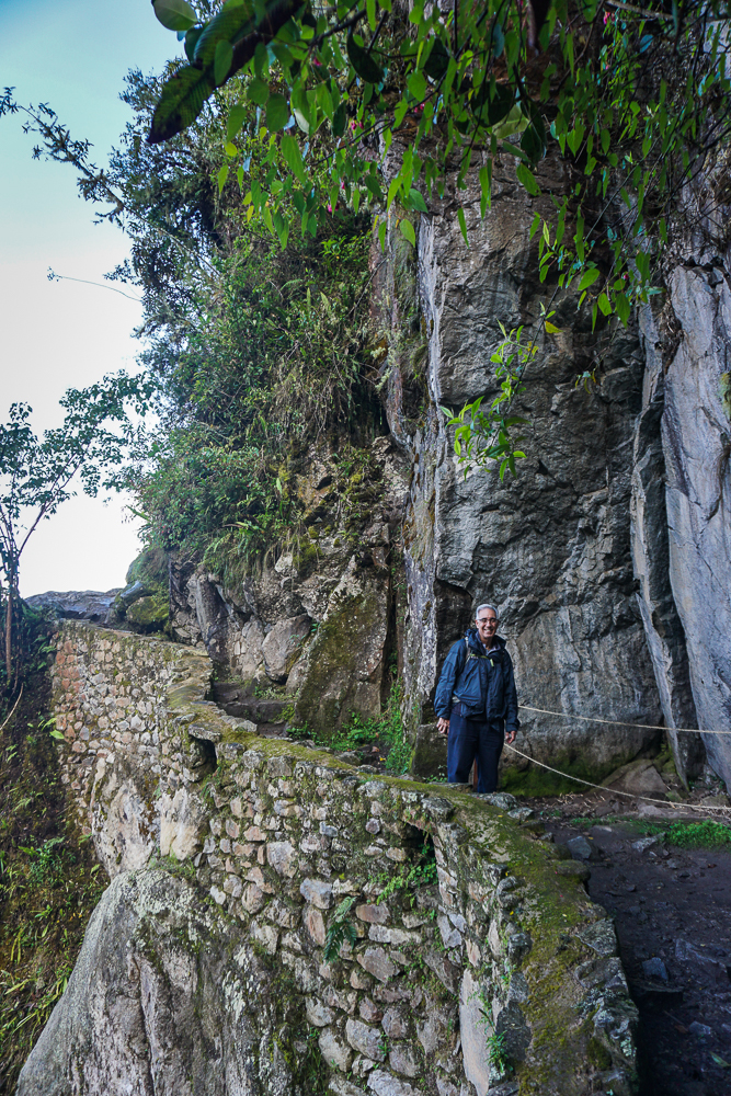
Dad on the way to the Inca Bridge. See? Nice and flat-ish.
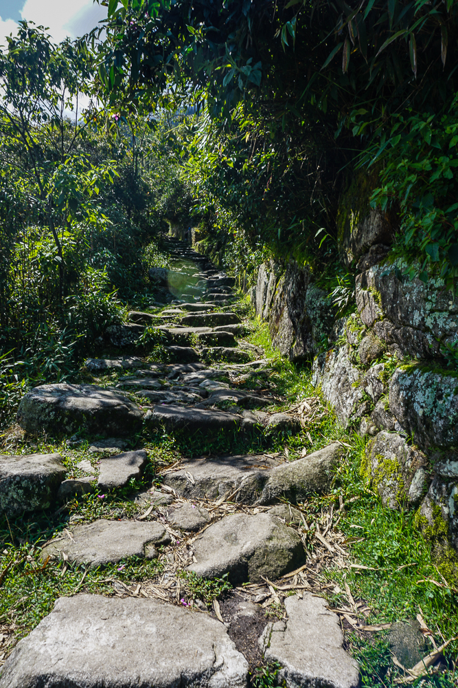
In contrast, here’s a preview of what we hiked up later in the day on the way to the Sun Gate. Some portions of the trail have stairs, like these, and others are just inclined. But no matter what, you’re going up.

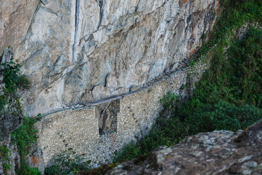
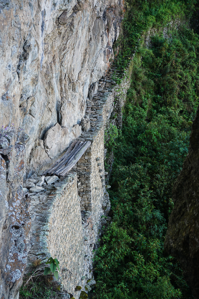
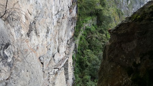
The Inca Bridge itself seems kind of underwhelming, but conceptually, it’s pretty darn cool. A narrow path was built onto the side of the mountain, potentially a secret army entrance to the site, with one 20-foot gap in the path bridged by a long piece of wood. If invaders were coming, the wood could be removed, like a drawbridge, to cut off access from that path.

The Inca Bridge from a distance. How on earth did they build that path?? You can’t even see the bottom because of the plants, but my goodness what insanity.
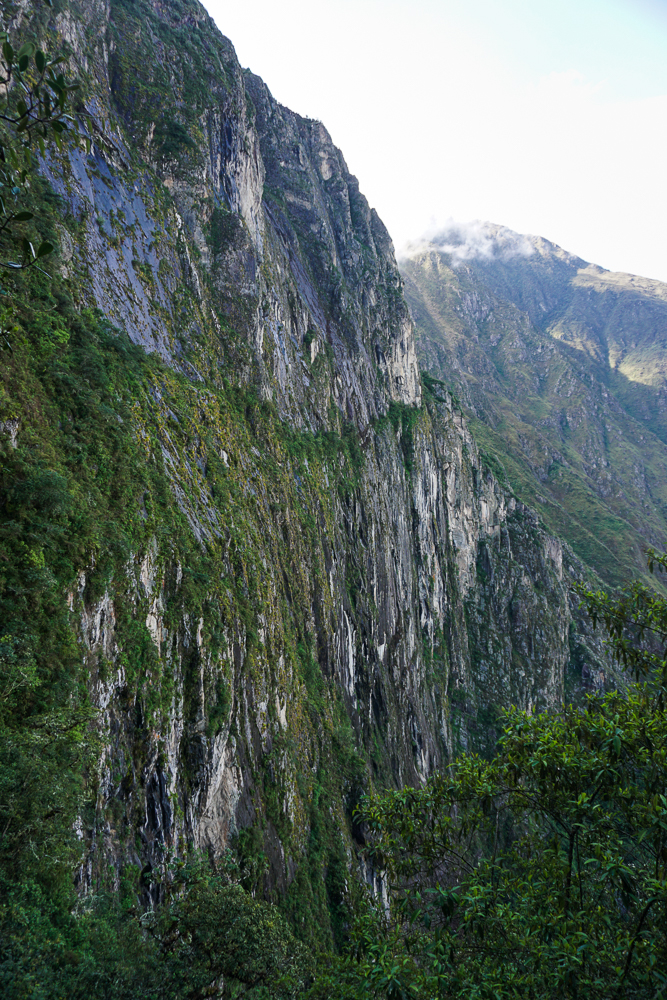
These are some super cool-looking mountains!
I’m not afraid of heights, but I don’t know how I’d feel about 1. walking with only that narrow stone path keeping me from falling to my death, or 2. walking across those wobbly-looking boards. Err. Maybe not.

From there, we set off on our more ambitious hike of the day to Intipunku, or the Sun Gate. For Incas coming from Cusco along the original Inca road (or for people hiking the Inca Trail today), Intipunku is the first point from which you can see the site. It’s quite the view. It’s also crazy to think that you’re walking on a road built over 500 years ago! Back in Inca times, the roads were only open to people traveling on state business, so it was an elite few who had the opportunity to travel the breathtaking path from Cusco.

Mom and Dad, post-Inca Bridge and pre-Sun Gate. That’s why they still look happy…
Yay!! The day cleared up beautifully.
A cool-looking rock along the path.

The hike to Intipunku from the ruins is all uphill with an elevation gain of nearly 1,000 feet (240 meters). I wanted Mom and Dad to get the perspective of the site from above, and this hike is way easier than going up Machu Picchu Mountain (the other option). I told them that we could go at whatever speed necessary, and if they didn’t want to go all the way there, that was fine. Hiking at nearly 8,000 feet (2,400 meters) of elevation is rough! And that’s the elevation at the trailhead, not the top! High-elevation hiking really redefines the word “breathtaking”. We did a LOT of breath-taking and not a lot of oxygen-getting. Honestly, that’s the hardest part of the hike. The uphill isn’t fun, but it’s doable. The added challenge of limited oxygen just really doesn’t help.

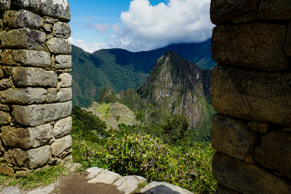
Looking down at the site through some ruins along the way.
I don’t know what this is, but it’s along the path to the Sun Gate and isn’t it pretty?

We kept chugging away, one step at a time. We stopped whenever anyone needed a break. I wasn’t in a rush. The people coming down as we were going up were very encouraging, saying things like, “You’re almost there! Only another 30 minutes.” Mom said that they had a different definition of the word “almost”. Hehe. We passed a woman who gave up maybe 10 minutes from the top. Her ‘encouragement’ was, “The worst part is ahead.” Gee, lady. Thanks a lot. Mom wasn’t fazed. She said, “I’m not giving up this close to the end.” Yeah, Mom!!!
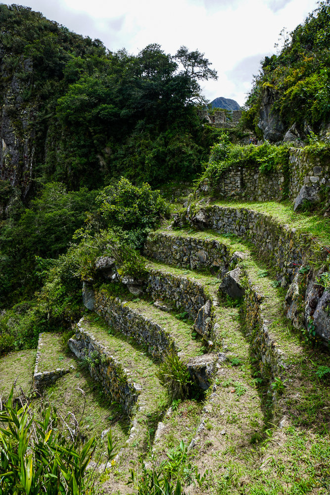
The final stretch… stairs!

We made it. And Mom and Dad both said that it was worth it, so that was a relief. It was only about 10:30AM when we finally arrived, and it felt like we’d already lived an entire day! We took a break at the top, enjoyed the view, and ate some snacks before heading back down the mountain. That had its own challenges because the rocks can get a little slippery, but there were zero falls which means it was a double success. By the time we made it down, we had already been at the site for 6 hours. Ha. We definitely got our money’s worth!
So close you can almost taste it!
The Sun Gate. And some random guy’s backpack.
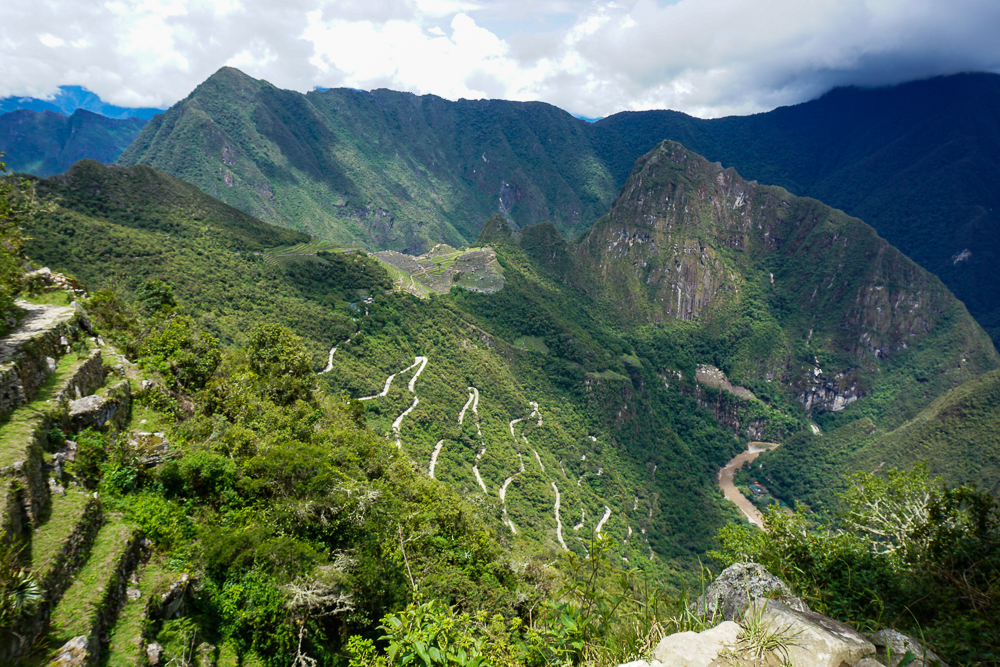
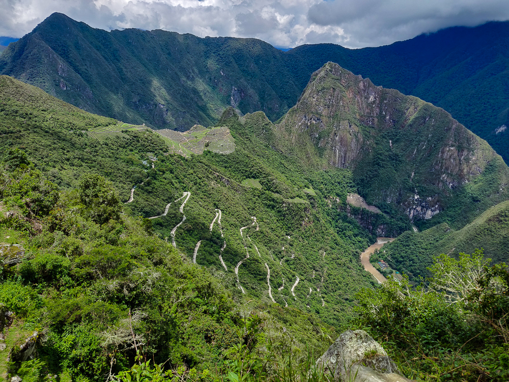
View of Machu Picchu from the Sun Gate. You can also see the switchbacks of the road that the buses have to drive up to reach the site.
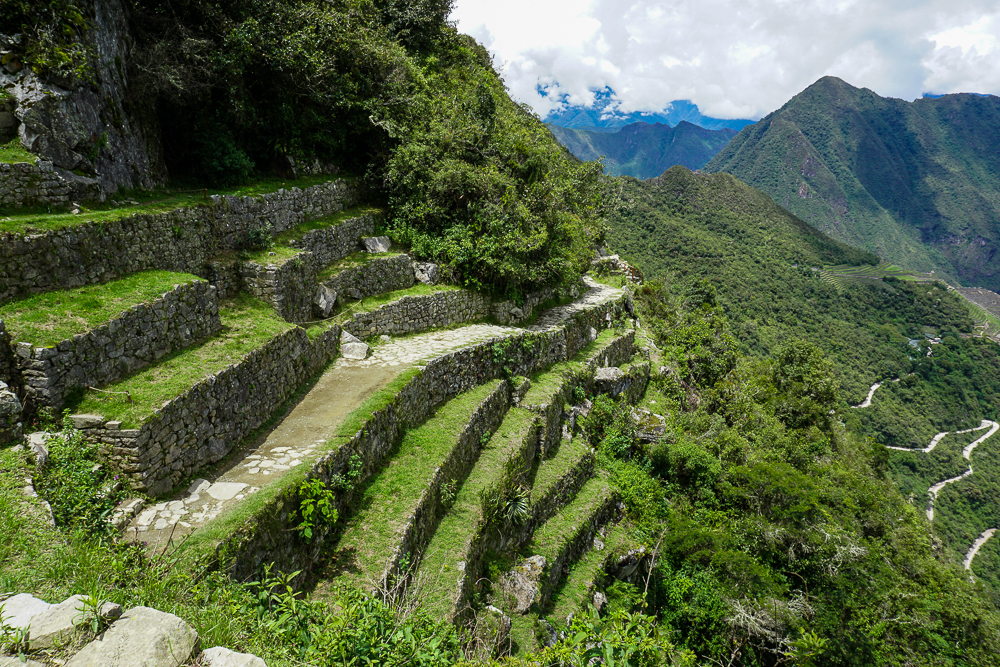
Terracing near Intipunku.
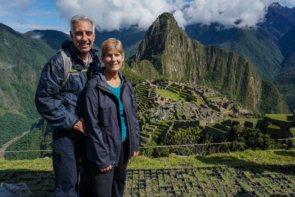
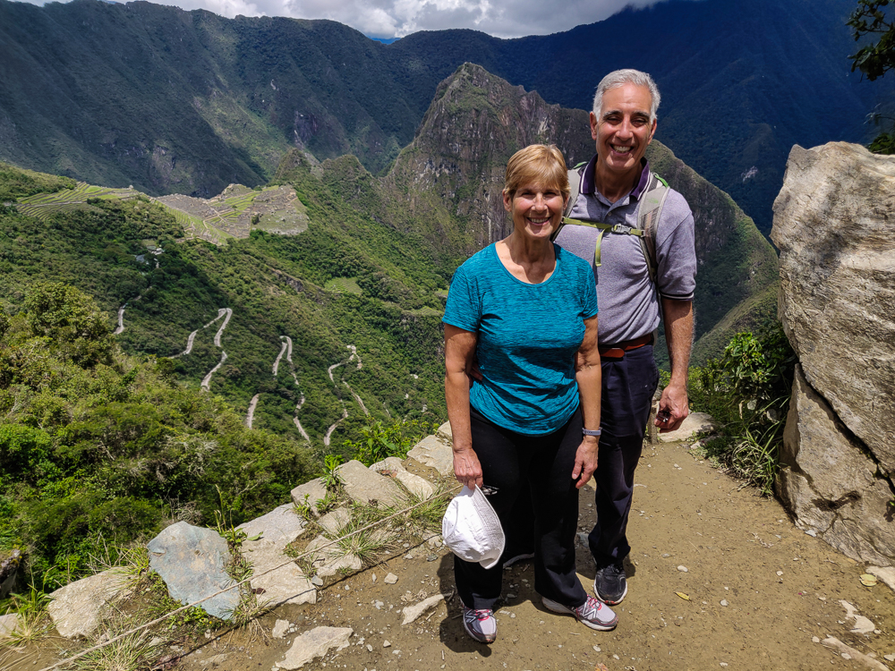
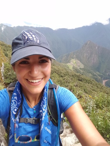
Tired and happy!

Everyone had a teeny bit of energy left, so we headed into the citadel to check out the ruins before calling it a day. Next time, get ready for a tour!

Before I talk about our visit to Machu Picchu, I think it’s important to understand some of the backstory to fully appreciate its awesomeness. Visually, it’s incredible no matter how little you know, but the story is a good one! Remember, though, that the Incas had no written language, so the earliest written accounts of their history come from oral histories recorded by the Spanish. That information is far from comprehensive, so in combination with archaeological evidence, a certain amount has been extrapolated (by experts, not by me). In some cases, there are disagreements about the specifics, so just read along with a big “MAYBE” disclaimer in the back of your mind. Okay! As I was saying…

Our story begins in the 15th century with an attack on Cusco by the Chanca people, a group with military strength comparable to the Incas. The Inka (king) at the time, Viracocha, abandoned his people. He fled the city in fear and took his heir with him. Some king! Another son, Cusi Yupanqui, decided to stay and defend the city, leading the Inca army with one of his brothers and a few other Inca chiefs. They won decisively, crushing the Chanca army and humiliating Viracocha. Having gained the support of the people during the battle, Cusi Yupanqui later declared himself the new Inka, forced his father to abdicate, and changed his name to Pachakuteq which means “earth-shaker” or “he who turns the world upside down”.

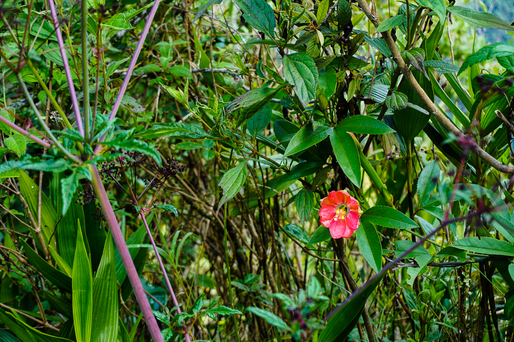
Machu Picchu flower

If that seems like a bold name statement, well, it is. But Pachakuteq knew that he was destined for greatness. First, as the battle against the Chanca proved, he had an aptitude for military strategy and leadership. Second, as a child, he had a vision where the sun god, Inti, called him “son” and told him that he would conquer many nations, and when he did, to honor and remember him. Pachakuteq took this to heart, elevating Inti throughout the empire as the supreme Inca god and constructing grand tributes in his honor, including Qorikancha in Cusco and other opulent temples in important cities.

Pachakuteq quickly defined himself as an Inka of great ambition. During his ~30 years as Inka, he reorganized the government structure and set out to expand the small Inca kingdom into an empire. He led with diplomacy, giving neighboring tribes the opportunity to surrender peacefully to avoid bloodshed. Those who refused were quickly overpowered by the Incas’ powerful military. To integrate the new tribes, their leaders were killed, and royal children were sent to Cusco to be indoctrinated. Sons later returned to their native lands to rule under the Inka, and daughters were married off to other leaders within the empire to build unity. Pachakuteq started an age of expansion that continued until the Spanish invasion.

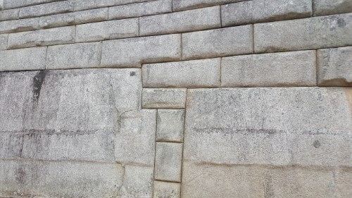
In addition to growing the empire through his conquests, Pachakuteq undertook grand construction projects that showcased the Incas’ superior engineering and craftsmanship abilities. He was very involved in the design decisions and was likely shown clay models of proposed projects, approving each of them himself. The famous “imperial style” stonework, where stones are perfectly cut and fit together without mortar, was his preferred style as it highlighted the skill of the craftsmen and demonstrated the power and dominance of the empire. Besides completely overhauling Cusco, he also built several royal estates, assumed to be monuments to his victories.

Some quality “imperial style” stonework. I love it.

We’ve already visited one of these estates, Ollantaytambo. Another is at Pisac, and finally, the most impressive, Machu Picchu. The estates celebrated Pachakuteq’s successes and were luxurious retreats for him and his family. Machu Picchu was the last one built and is thought to commemorate his conquest of the Vilcabamba Valley.

So, how did this city in the clouds come into being? The first step was to choose a site, and while the reasons for the specific site selection aren’t known for certain, there are some clear advantages to this one. A major benefit is its access to clean water via a spring located on the mountain of Machu Picchu. It also has views of the Incas’ most sacred mountain peaks, and its challenging location offered the opportunity to show off what the Inca builders were capable of.

Ugh what a terrible view.
I totally support the Incas’ location choice.
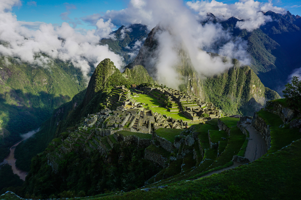
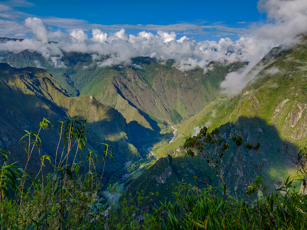
You can see the Urubamba River in the bottom left corner… it actually wraps around Huayna Picchu (that peak in the middle), so it’s nearly surrounding the site.
Here’s the Urubamba River again! See how it wraps right around Huayna Picchu?
Also, can you spot the city? If you saw this landscape before it was built, would you have thought, “Now THAT’S the perfect place for a city!”?

While the site looks conveniently flat today, that’s not how it started out. The “city” is located between two mountain peaks, or “picchus” – Machu Picchu (old peak) and Huayna Picchu (young peak) (Huayna Picchu is the one that you see in the background of the classic Machu Picchu photos). Before it was even possible to build the structures, the dip between the two peaks had to be filled in and leveled off to create a flat area for building. To stabilize the ground and decrease the risk of collapse from the weight of the new city, terraces were constructed, deep foundation and retaining walls installed, and drainage systems designed. Estimates are that 60% of the construction at Machu Picchu is actually underground.

Leave it to the Incas to create flat ground on top of a mountain. Well, I guess it’s not on TOP… so leave it to the Incas to create flat ground between two mountain peaks. Yeah, that’s no less insane.
The tallest peak in the background is Machu Picchu.

The 700+ terraces at Machu Picchu create about 12-14 acres of farmable land. This likely wasn’t sufficient to support the estimated 750-1000 people who were on site when the Inka was there, and additional food was brought in to supplement the harvest. Even so, for farming on a mountaintop, it sounds pretty good to me! When the Inka wasn’t in town, a skeleton staff was left to maintain it. The remains of over 170 people were found at the site, and bone analyses indicate that people came from all over the empire to serve there.

Did someone say “terraces”?
Llamas and alpacas aren’t native to the area but were brought by the Incas

Back to the terraces… I’ve previously talked about the integrated irrigation systems that the Incas included in some of their terraces. At Machu Picchu, it was determined that irrigation was unnecessary due to the wet and humid climate. Instead, extra attention had to be paid to water management. Analysis of the terraces revealed that they were constructed in layers to facilitate drainage with large stones at the bottom, a mix of packed sand and gravel in the middle, and topsoil on the surface, probably carried up from the more fertile valley to better support crops.

And terraces…
…and overgrown terraces…
Morning mist rising up from the Urubamba River. Even when it doesn’t rain, the mornings are still nice and damp!
This is a good angle to appreciate the stabilizing terracing that was included to help level off and protect the city from collapse/erosion.
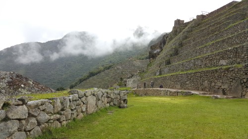
I’ll never get tired of this stonework. Please, admire.
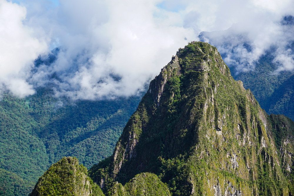
Huayna Picchu. You can see some terraces on the top… these were likely for erosion protection rather than for farming. Can you imagine having to hike up there to take care of your potatoes? Yeah, right!

With the foundations completed, work could finally begin on the buildings. I’ll talk more about the specifics next time, but assuming the site was, in fact, a royal estate, it included royal residences, housing for nobles, ceremonial and religious spaces, and support spaces like servant housing and storage. There are about 200 buildings in total.

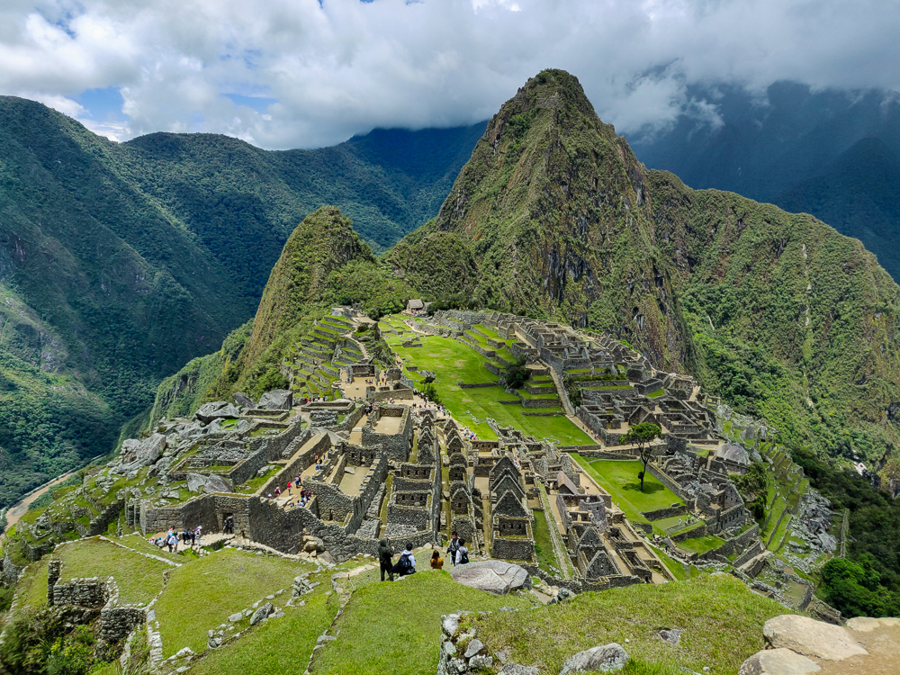
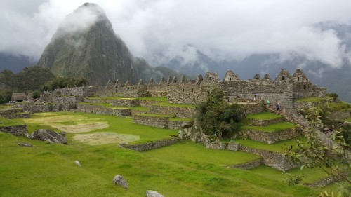
The city. Now imagine those buildings covered with thatch roofs!
Did you know that Machu Picchu is actually built at the intersection of two fault lines? That means lots of earthquakes, but the good news is that the Incas knew what they were doing. Here are a few construction techniques that helped their structures to survive for so long:
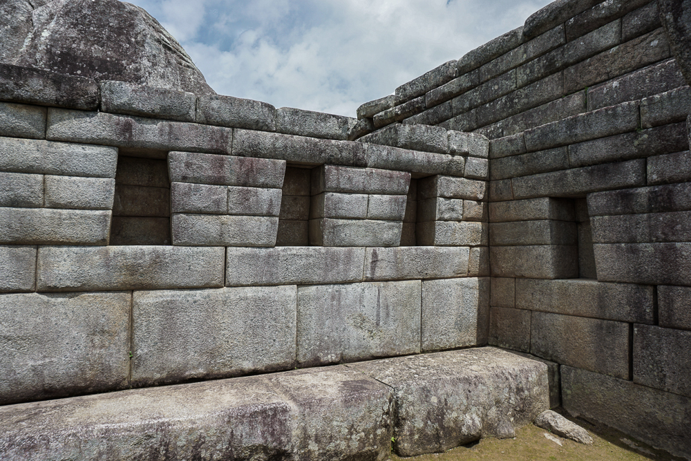
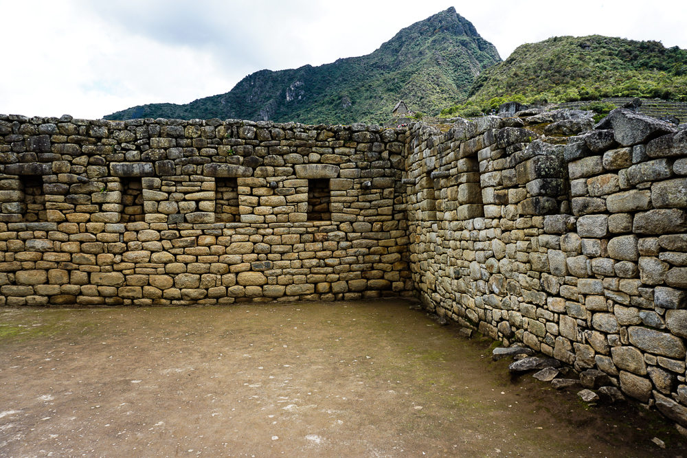
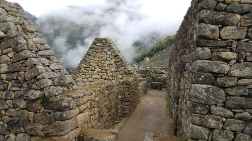
See how the walls are slightly inclined inward? You can see it best if you look at the corner. This slight incline at the inside corners, plus the use of L-shaped stones on the outside corners, helped to stabilize the walls.
We’ve already talked about this, but the mortar-less construction was great for earthquakes, too. Stones can wiggle around during the earthquake, and after it’s over, they settle right back into their perfectly-cut places.
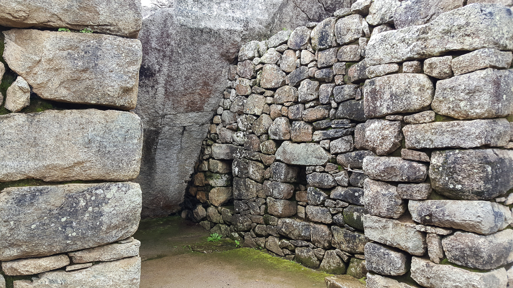
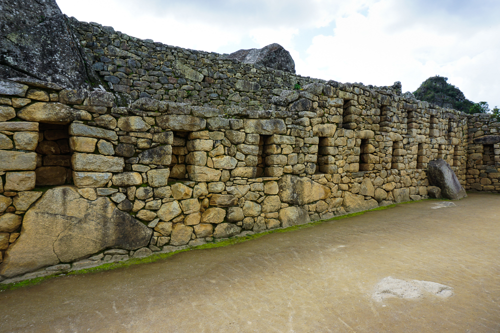
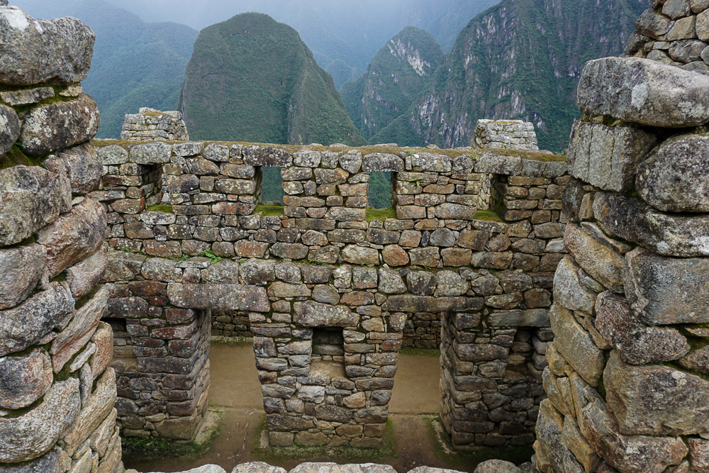
See how the doorways and windows are actually trapezoidal, rather than rectangular? This helps to make stronger, more stable openings!

Beyond the construction work on the mountain, there was also a massive road-building project to link this new estate with other significant parts of the Empire. The road from Cusco winds 27 miles through the mountains, passing Ollantaytambo and continuing its way up, down, and around the peaks until reaching Machu Picchu. A much easier option would have been to construct a road along the Urubamba River, but that’s no fun! It’s possible that Machu Picchu was also a pilgrimage site for the worship of Inti, and the long, difficult journey to get there was meant to test and prepare the pilgrims.

One of the reasons Machu Picchu is so archaeologically significant is because the Spanish never visited. That means that religious structures were never defaced in their campaign to Christianize the pagan civilizations, giving valuable insight to researchers. Why did the Spanish never make it there? The site was completed in the 1450s or 60s and was abandoned less than 100 years later. What happened? No one is really sure. Perhaps the site was deserted after Pachakuteq’s death. Perhaps there was an epidemic or an attack by the jungle tribes that wiped it out. Perhaps it was simply forgotten. Likely, most people in the empire had no idea it even existed.

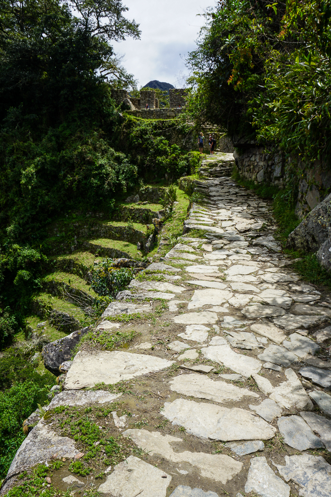
Part of the original Inca road. How. Cool.
The buildings transition seamlessly into the mountain!

Machu Picchu sat abandoned for hundreds of years and was only brought to the world’s attention when it was “rediscovered” in 1911 by an American historian, Hiram Bingham, as he was searching for the “lost city” of the Incas, Vilcabamba (where Manco Inka set up his remnant Neo-Inca state). Bingham gets the credit for finding it, but in reality, it was no secret. He traveled along the Urubamba River, asking if anyone knew of ruins in the area, and was shown to Machu Picchu by a farmer. There were multiple local families living there and farming on the old terraces. Also, as the site was excavated, the absence of precious artifacts suggested that treasure hunters had already plundered it.

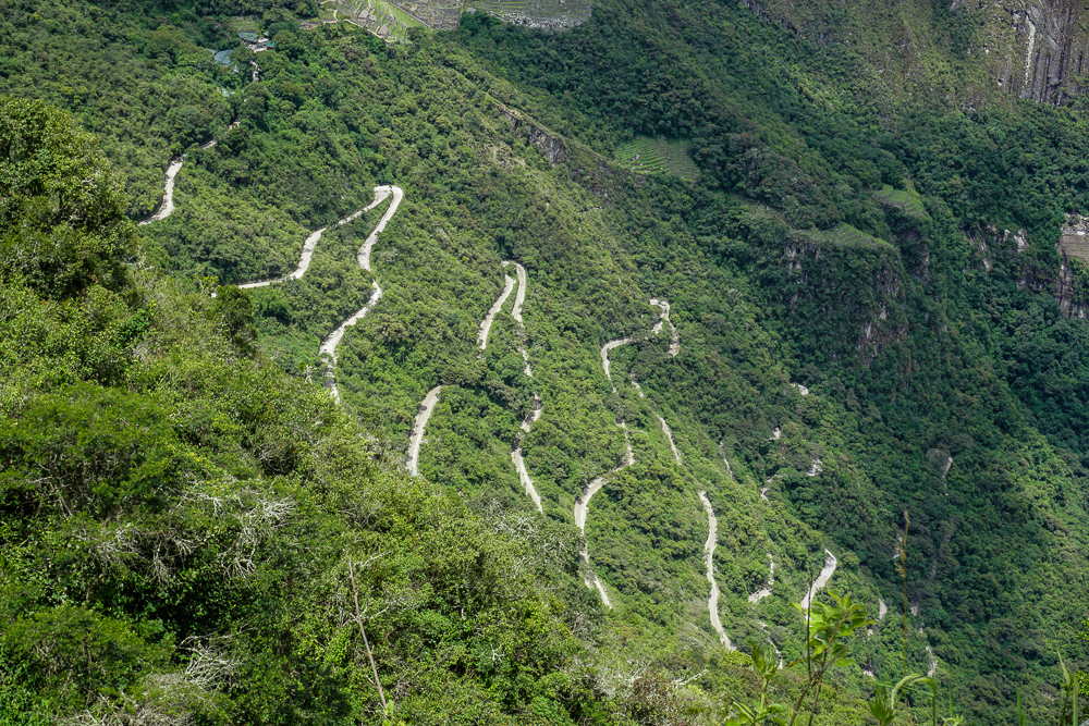
Hiram Bingham and crew walked up the mountain. It’s an exhausting uphill trek! But nowadays, you can take a bus up these crazy switchbacks. Not recommended for sensitive stomachs, but definitely preferred to walking!
I can’t imagine walking around this place for the first time as an explorer!

Bingham and his crew excavated the site for five years and sent artifacts back to Yale, where he worked, for further research. Peru is still trying to get these items returned today. In 1981, Peru created a national sanctuary protecting Machu Picchu and its surroundings. In 1983, it was declared a UNESCO World Heritage Site as “a masterpiece of art, urbanism, architecture and engineering” and “a unique testimony of the Inca Civilization”.

Next time, we’ll take a closer look at the details of the site!

When my Machu Picchu day finally came along, I had mixed feelings. On one hand, of course I was beyond excited to visit the place I had been looking forward to seeing ever since I decided to go to Peru. On the other hand, it’s nice to have really exciting things to look forward to, and sometimes the “looking forward” is almost better than the “actually doing”.  That probably doesn’t make any sense… let me try again. When you finally go somewhere or do something that everyone has raved about, aren’t you ever nervous that the idea of it will be better than the actual thing? That it’s been talked up so much that the reality can’t possibly match your expectation? There was a part of me that feared that. Like maybe I’d find myself facing one of the wonders of the world and manage to not feel impressed.

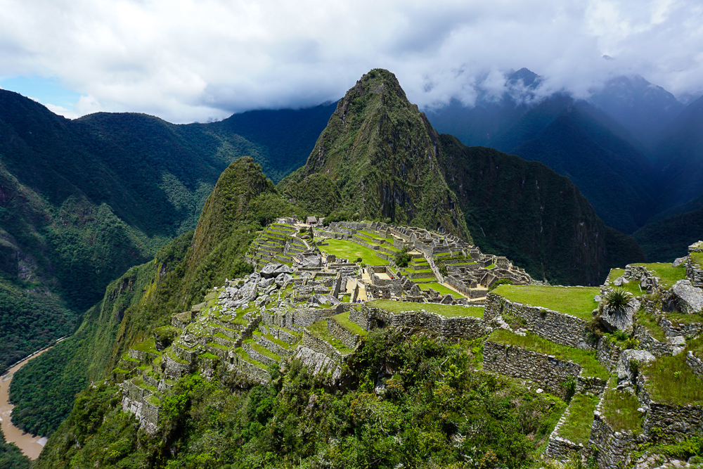
When you walk in, this is the first view you get of the ruins!
SO COOL SO COOL SO COOL!!!

Lucky for me, the experience of visiting Machu Picchu is partly indescribable. No matter how much people told me about it, they couldn’t convey the wonder I’d feel when seeing the huge expanse of beautiful ruins set against a backdrop that’s straight out of a fantasy. No matter what I write about it, I promise you that I can’t even begin to do it justice. Even without the air of mystery that surrounds the history of Machu Picchu, it’s baffling. When you add in the questions about how it was constructed, what everything was used for, and where everyone disappeared off to, it becomes even more marvelous. There’s nothing better than a good mystery!

Along the path to the Inca Bridge
View from the Inca Bridge hike. Still a little foggy (because I was there at 7AM), but still spectacular
This picture is confusing and kind of seems like it should be rotated… but this is right. I promise. The Inca Bridge is at the bottom of the light rocks on the left. See the gap in the rock path and the boards that are placed across it? The Incas could move the wood to block off this entrance into Machu Picchu if they ever needed to.
On my hike back to the main part of the ruins… I just couldn’t stop taking pictures!

Archeologists have concluded that the site was an estate for one of the Inca emperors, which means that it was basically a full city on top of the mountain. About 1000 people could live there, but they think that 5x that number was required to build it. Also, they’ve only recovered the skeletons of about a quarter of that. The stone is a type of granite that was taken straight from the site, and they don’t use any mortar to hold it all together.

Question #1: How was it constructed? The site is way bigger than I realized. I think that’s what everyone says after they go, and even though I’m telling you that right now, you’ll say the exact same thing if you go. There’s the main part of the town that you always see in pictures (which even that is bigger than you realize… all of those pictures are taken from quite far away), but then there are terraces EVERYWHERE that were used for growing crops. Carving out the terraces, cutting, moving, and putting together the millions of rocks, and building a town of that size must have taken an eternity. The methods they used for cutting rocks so precisely and moving the big ones around are still somewhat unknown. It would be an amazing feat even if it WASN’T on top of a mountain, but it is. Oh yeah, I didn’t mention that you have to take a half hour bus ride (or a 1-1/2 hour hike) up the mountain from the town. It is not located for ease of access.

There are also pathways that wind through the surrounding mountains. There’s no way the full extent of them is even known because at this point, the unexcavated ones are buried under almost 450 years of plant growth.

Let me just say that there’s a reason why one of the theories of its origin is aliens. It’s so fantastic that aliens start seeming like a realistic explanation.

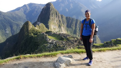
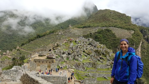
Okay, this one was a mini-tripod/self-timer picture. There was no one around to take it, really! I’m standing in the quarry area.
Like, does this even look real?

Question #2: What was it used for? Archaeologists have general ideas about the site as a whole and the functions of some of the different buildings, but for the most part, it’s just speculation. If you hire a guide while you’re there, they’ll tell you all sorts of things about what this rock means and why that room has 5 windows and 4 niches, but the truth is that not much is known for sure. There are a lot of assumptions, but there are so many questions that it makes you wonder how much you can trust them.

I decided to skip the guide and take my sweet time wandering through the buildings, making up my own stories as I went. I did have a guidebook which was nice because it helped to draw my attention to some of the more interesting features, but I still got to move at my own pace and just soak in the wonder of it all.

Did I already take this picture? Yes? Ehh… I’ll take it again just in case.

Ruins and mountains, ruins and mountains
This stonework though…

Question #3: Where did everyone go? When the Spanish invaded in the mid-1500s, they took out much of the Inca civilization. However, they never made it to Machu Picchu. Its existence wasn’t brought to the attention of the general public until 1911 (it was looted by a few German explorers, and some local farmers knew about it and were even farming on some of the terraces prior to that year). So what happened to all of the people? Did they all go to fight in other locations? Did they just die out eventually? Smallpox is one guess. Imagine for a second if whatever did happen hadn’t, and there were still people living there when it was stumbled upon. They certainly had the food resources and planting strategies that they needed to survive. How cool would that have been?

The view from my window… I wish!

My thought about every picture: “this is kind of the same… but kind of different so yeah, I’ll post this one too.”
How epic is this?
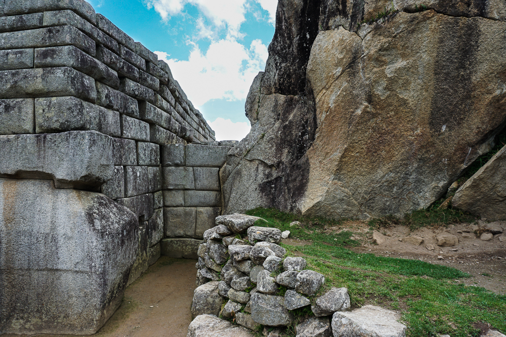
The more important buildings had more precise stonework, though none of the buildings used mortar so they were all pretty darn precise. These though… How on earth do you get such tight joints with such massive rock pieces?

Anyway, those are the three main mysteries that I allowed myself to mull over as I wandered around and tried to make sense of it all. I didn’t start out wandering the ruins though. First, I walked up a pile of stairs to look over the site and get that iconic Machu Picchu view. From there, since I was already halfway up, I did two of the hikes that are included in the entrance ticket, one to the Sun Gate, where the people who hike the Inca Trail enter the site and watch the sunrise, and the other to the Inca Bridge, a piece of wood terrifyingly placed across a big gap in the rock path that winds around the mountain. You can’t walk across it anymore because someone fell off and died, and after seeing it, that doesn’t surprise me one bit. More like why did they ever let anyone walk across?

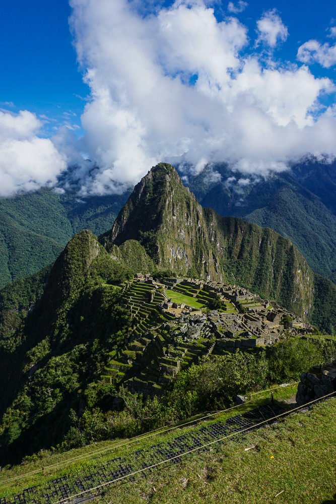
The classic Machu Picchu picture. I actually asked someone to take this, rather than using my usual mini-tripod/self-timer technique.
A cool view of the terraces and the beginning of the hike to the Sun Gate
Some ruins along the Sun Gate path

My big hike of the day was up Machu Picchu mountain. Nothing at Machu Picchu, including the place itself, is called by its Inca name. No one knows the Inca names. Machu Picchu is the Quechua name for the mountain next to the town, so when it was “discovered”, the explorer just called it by the same name. All of the buildings and such that are named were named by him. So like I was saying, everything is complete speculation. Anyway, I bought a separate ticket to hike Machu Picchu mountain, one of the two mountains next to the site. The other one, Huayna Picchu, is shorter, but the hike is more of an adventure with ladders and precarious ledges. I decided to skip the death-cheating hike and save it for if I ever go back with a hiking buddy.

The hike up Machu Picchu mountain is just hundreds and hundreds of stairs. And more stairs and more stairs and these stairs that are so steep you probably want to use your hands too. Every time you turn a corner, you’re faced with another dead-end wall of rocks. Oh wait. Those are stairs. About 20 minutes in, I found a friend! She and I bonded over our pain and the fact that we were moving at similar speeds. I was thankful to have someone to struggle through it with me. The only thing worse than a super intense hike with minimal oxygen is a super intense hike with minimal oxygen where you don’t have anyone to complain to. In hindsight, it was a definite mistake to do the Inca Bridge and especially the Sun Gate hikes before the mountain. I basically set myself up for failure because my legs were already tired when I started.

My hiking buddy speeding ahead on the Machu Picchu mountain hike
MORE STAIRS???!!?? Yes. The answer is always yes.
Pretending I’m not dying
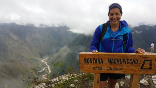
But I eventually made it! This is after about 45 minutes of relaxing at the top, which is the only reason why I’m smiling and not bright red.

Anyway, I’ll spare you the quad-killing, air-gasping details of the hike and just say that it was an hour and a half of me strongly considering turning around and being fairly certain that the mountain was never going to end. I got to the top just before the clouds blew in and completely obstructed the view of the ruins. Can you think of anything worse than finishing that horrible hike and then not even being about to appreciate the view? I had about 20 minutes before we were sitting in a cloud. That’s all I needed though. I found a nice wall to sit on, ate some pretzels, and soaked in the awesomeness.

Everyone gets booted off the mountaintop at noon, so I headed down through the clouds, a moment of rain, and back into the scorching heat. They say that you need to prepare for every type of weather when you go to Machu Picchu, and it’s true. I went in the morning wearing a sweatshirt and pants. I took my sweatshirt off early and changed into shorts on my hike to the Sun Gate. At the summit of Machu Picchu, it was freezing and drizzly, so I put my rain jacket on. Once I hiked down a little, it was hot again. Then, in the afternoon as I was wandering the ruins, I must have put on and taken off my rain jacket at least 5 times as it rained and stopped and rained and cleared up and rained again.

See that mountain enshrouded in clouds in the middle/right of the picture? It looks like the top is actually cut off in this picture too. Yeah, that’s the one I climbed

Me and my hiking friend with a very important rock that supposedly looks like some important animal but actually looks just like, well, a rock.
Remember, imagine thatch roofs!
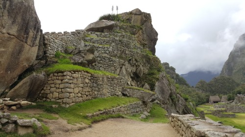
I think this is hilarious. There are a bunch of places where there’s some ginormous rock that I imagine the Incas looked at and said, “LOL I’m not tryna move that!” (loose translation) So instead, they just left them in place and built the walls around them. The way they fit everything together is amazing no matter how many times I think about it.

I spent the last couple hours of my visit exploring the ruins. I reencountered my hiking friend, and we had fun walking around and making things up about the different ruins and their uses. Sometimes it’s nice to have a friend! It was especially perfect because she and I were on the same page about taking our time and wanting to see everything. Sometimes things work out so much better than you could have imagined!

After finishing up at the site and heading back down the mountain to the town, we considered meeting up for dinner and ended up just showering and laying immobile on our beds at our respective hotels. I could have guessed that was what was going to happen.

Just a few more for good measure…
Can you imagine having this view every day?
But seriously could it be any cooler? Sorry I can’t express myself any better but I’m sitting at my computer, days later, still geeking out over how amazing the whole thing is.