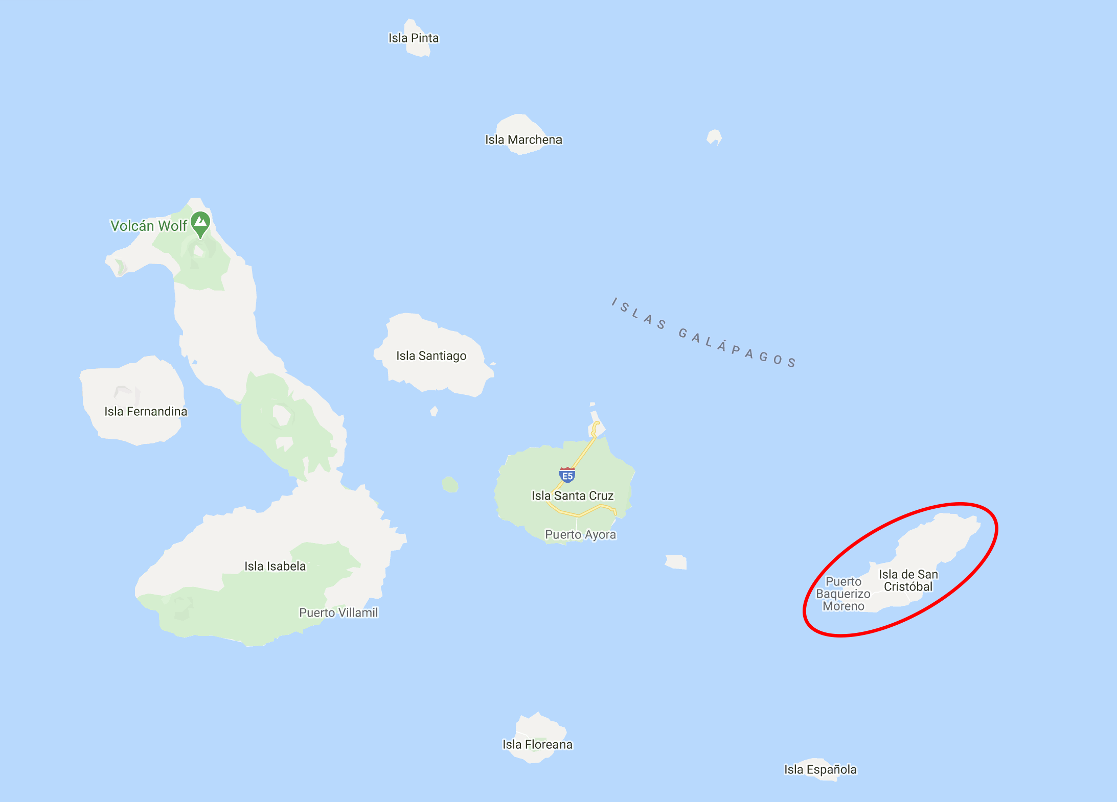
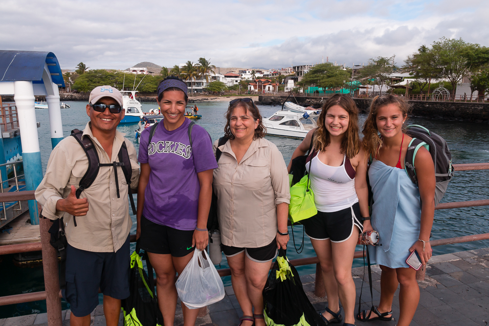
Following our two days of full-day tours, we “took it easy” with a “free” day that ended up being one of the most exhausting of all. We didn’t have an official tour scheduled, but that doesn’t mean we didn’t have any plans. We hired a taxi driver to drive us around the island, doing the classic “highlands tour” circuit that goes from end-to-end on the island’s one major road.

We started in Puerto Baquerizo Moreno, then visited the Galapaguera de Cerro Colorado (tortoise reserve and breeding center), Puerto Chino (one of the many “world’s most beautiful” beaches), Laguna El Junco (lake), and finally stopped at the island’s oldest ceiba tree/treehouse before heading back to town where we had some other adventures on foot. Like I said, it was quite the day.

To give you some context…
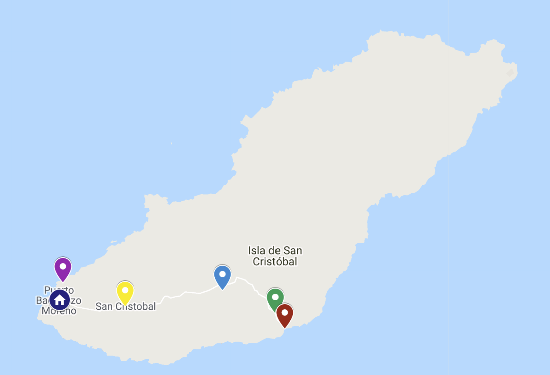
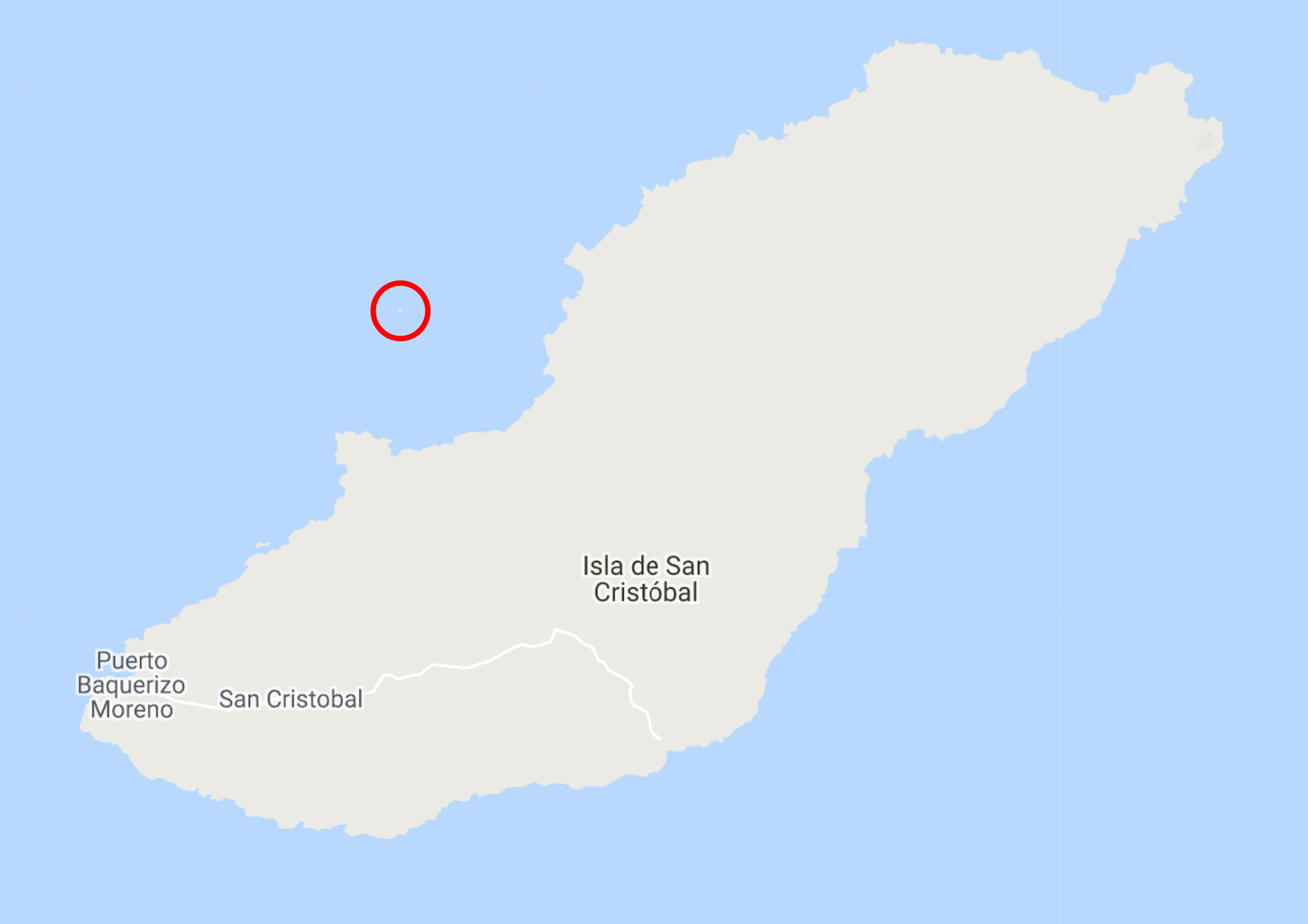
We started at the blue house at the western end of the island, then we went to the Galapaguera (green), Puerto Chino (red), Laguna El Junco (blue), and the ceiba tree (yellow). After getting back to town, we walked up to the Interpretation Center and Cerro Tijeretas (purple).

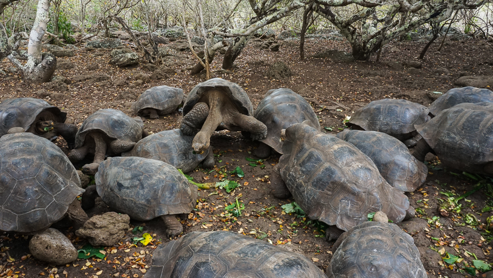
Let’s not get ahead of ourselves, though! Our first stop was the Galapaguera, a tortoise reserve that was opened in 2003 to help rebuild the island’s tortoise population. There were originally 15 subspecies of Galapagos tortoise. Four of those are extinct, and all of them are endangered, mostly due to human activities. During the pirating/whaling days, it’s estimated that 100,000-200,000 tortoises were taken and killed for their meat and oil. In addition, non-native species were introduced that hindered repopulation. Rats, pigs, snakes, and army ants eat eggs and threaten hatchlings (as do some of the native birds). Goats and other large mammals compete with them for food.

Tiniest lil baby tortoises!! These could easily fit in your hand, maybe like 5″ (13cm) max in length.
Slightly bigger little babies
And these are big enough that you could ride around on their backs.

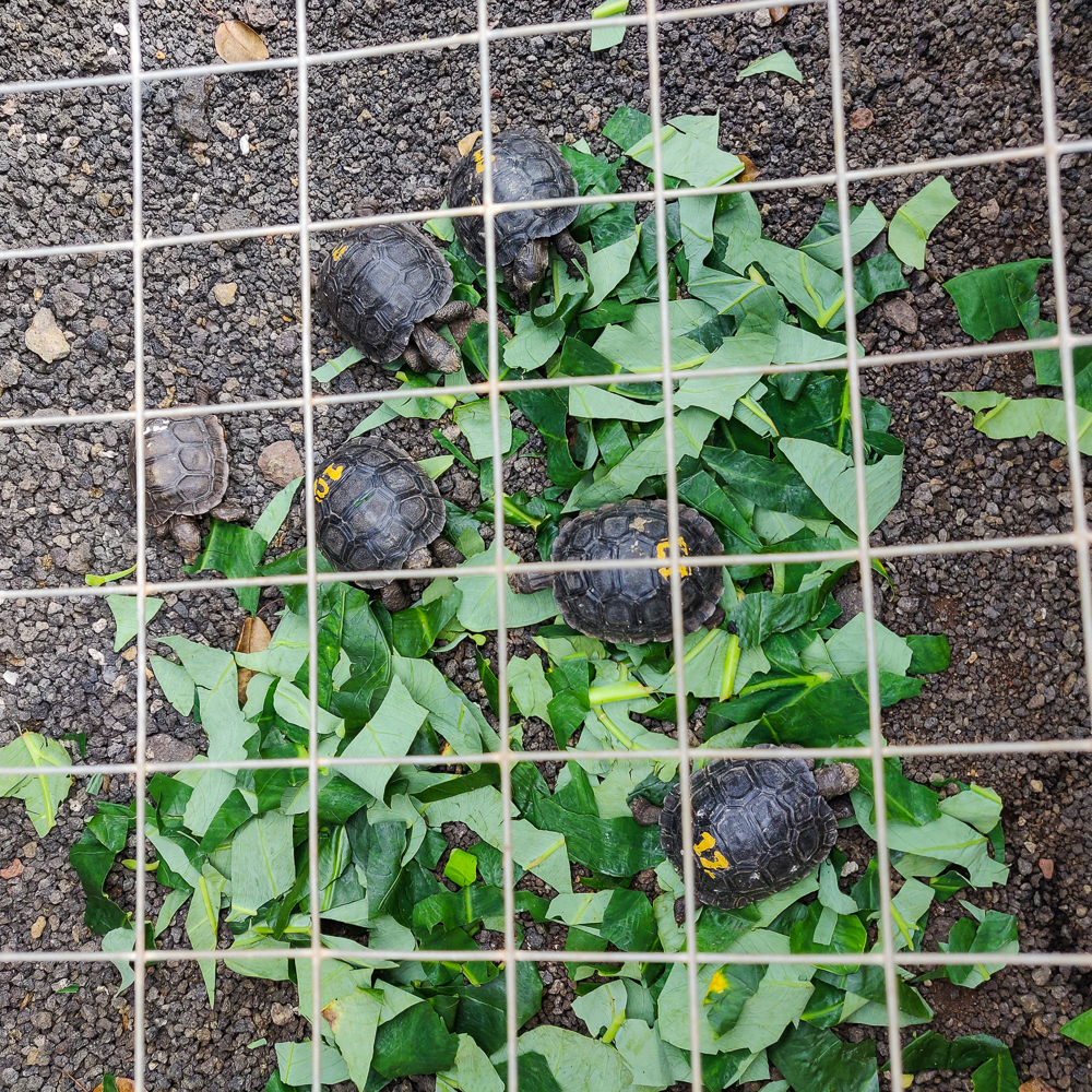
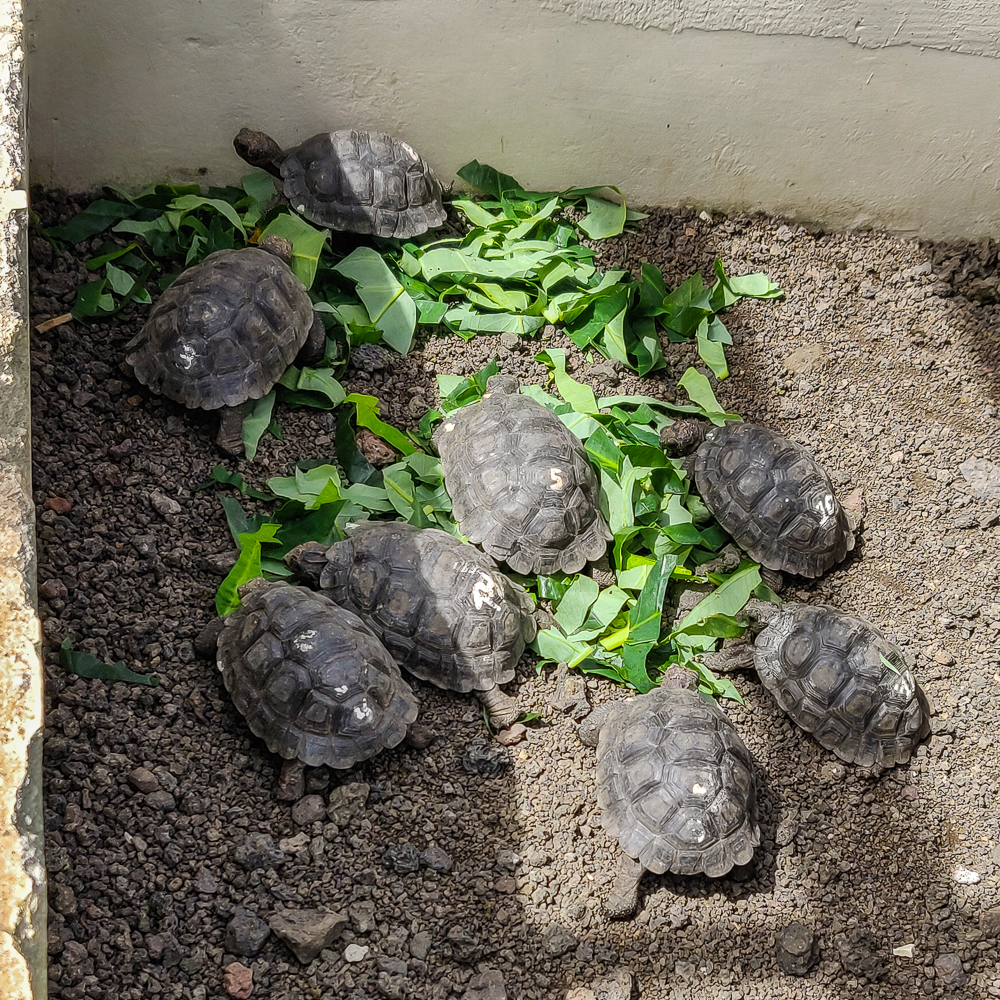
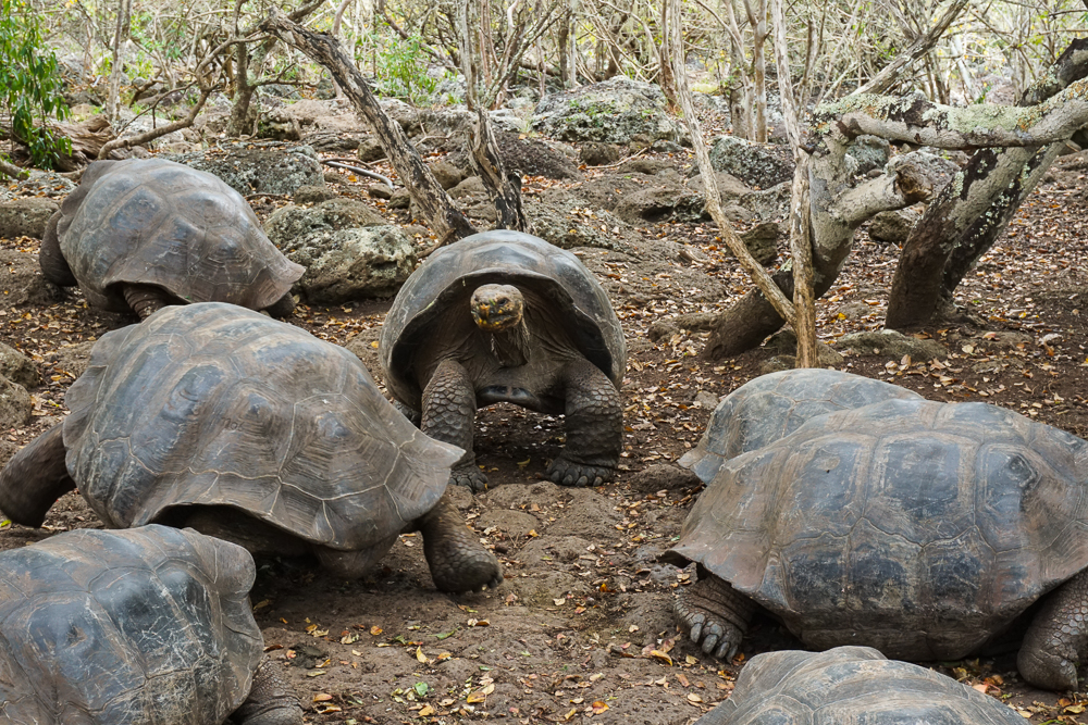
One of the things that saved many of these tortoise subspecies is their longevity. They live an average of 100 years with the oldest recorded living to 152! This meant that even with the many repopulation challenges, only a few tortoises needed to survive to make conservation efforts possible. Many of the islands now have tortoise reserves and breeding centers which aim to grow the tortoise populations by giving them safe places to mate and grow and eventually releasing many of them into the wild.

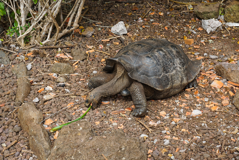
In the breeding centers, park rangers collect the tortoise eggs and simulate normal conditions while also protecting them from predators. They incubate the eggs, and after the tortoises hatch, they are kept in growing pens for their first few years of life to further protect them while their shells are still soft. After this vulnerable period, there are virtually no predator risks for the tortoises, and survival is just a matter of finding enough food. The amazing thing, though, is that they can survive for up to a year without eating or drinking! They have a slow metabolism, and they spend more time resting when there isn’t enough food. They also can store water internally for long periods, so they’ll drink a lot when they have access to fresh water and save it for later. (This is actually part of the reason why they were so desirable on ships because they could survive in the ship’s hold without needing food or water, allowing the sailors to have fresh meat at sea with little effort.)

This is where the smallest tortoises are kept until their shells get hard enough. I think they said the first 4 years? Or at least the first two. The fencing on top is to keep out predators, and at night, another cover with even smaller holes is closed as well to protect them even further. (pic by my uncle)
These tortoises were around 5 years old, I think. They’re maybe 1.5′ long (0.5m). Maybe.
This guy was a little freaked out by us. When they get scared, they pull their heads into their shells and use their arms to shield the opening.

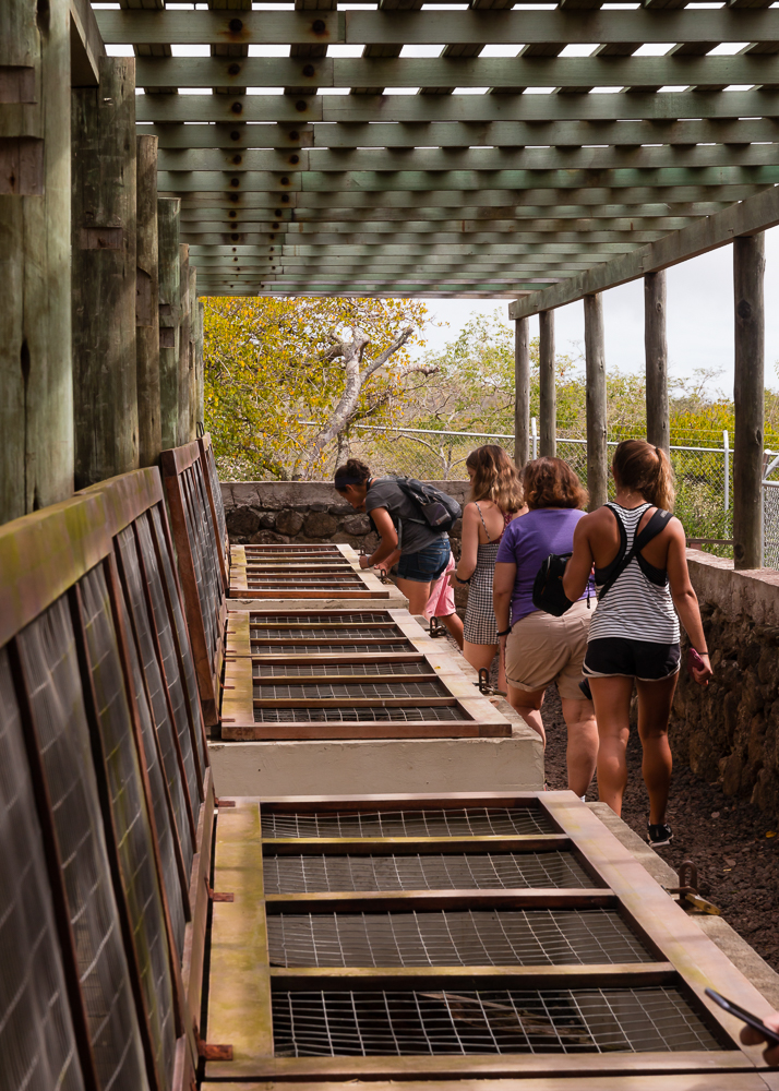
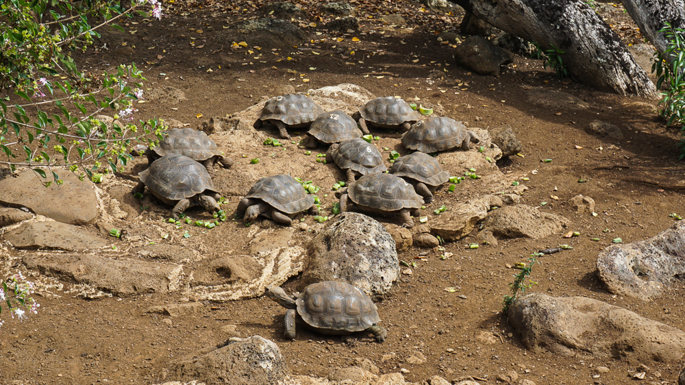
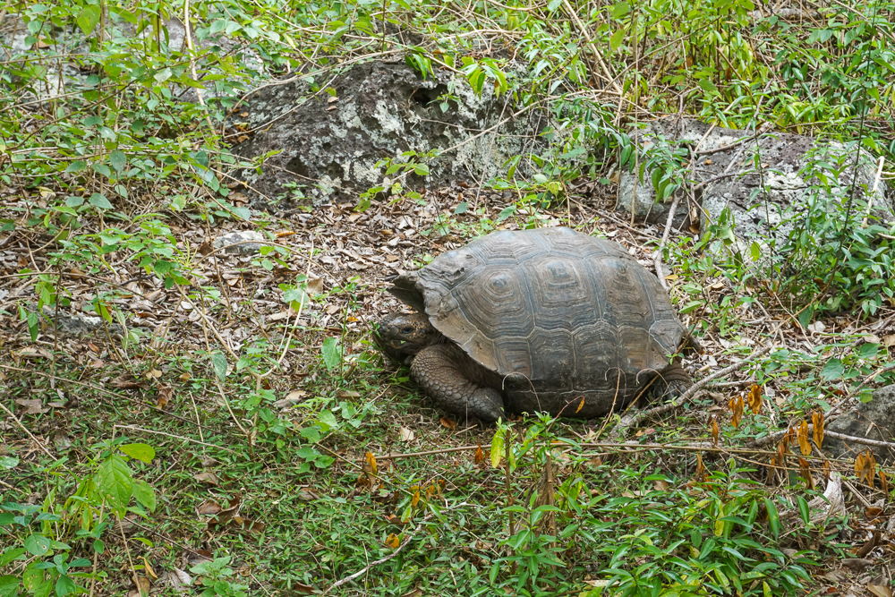
We were lucky to arrive at the reserve just in time for feeding! The tortoises are fed twice each week, and the rest of the time, they fend for themselves by eating plants around the sanctuary. Usually, the tortoises are wandering around and you may or may not see many of them, but since it was feeding time, we saw them all! It was really interesting to watch them interact with one another.

This video shows a tortoise “fight”. The dominant tortoise is generally the one that can stretch out its head to be tallest, and you can see that happen in this interaction. Tortoises generally don’t make noise, so it’s just a silent challenge, silent fight, and silent retreat (well, aside from my uncle’s narration hehehe).

Enthusiastically eating that stalk
‘Get out of my way!” Mr. Tortoise says as he steps over his fellow tortoises.

While we’re at it, here’s one more video showing a tiny tortoise stuck on its back. Some of his friends tried to give him a hand, but ultimately, one of the employees came and flipped him back over.

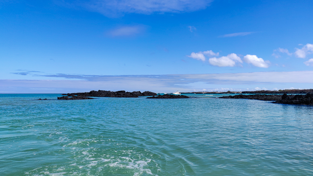
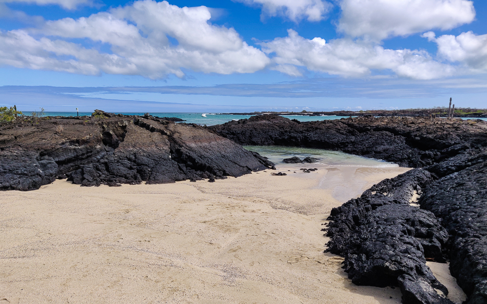
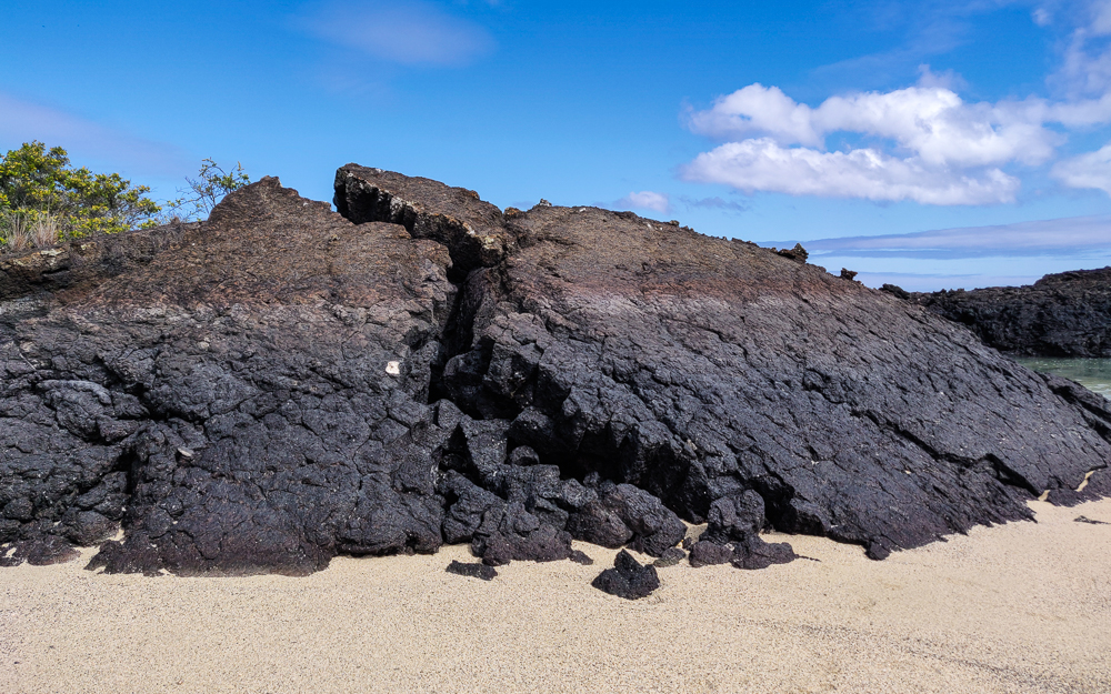
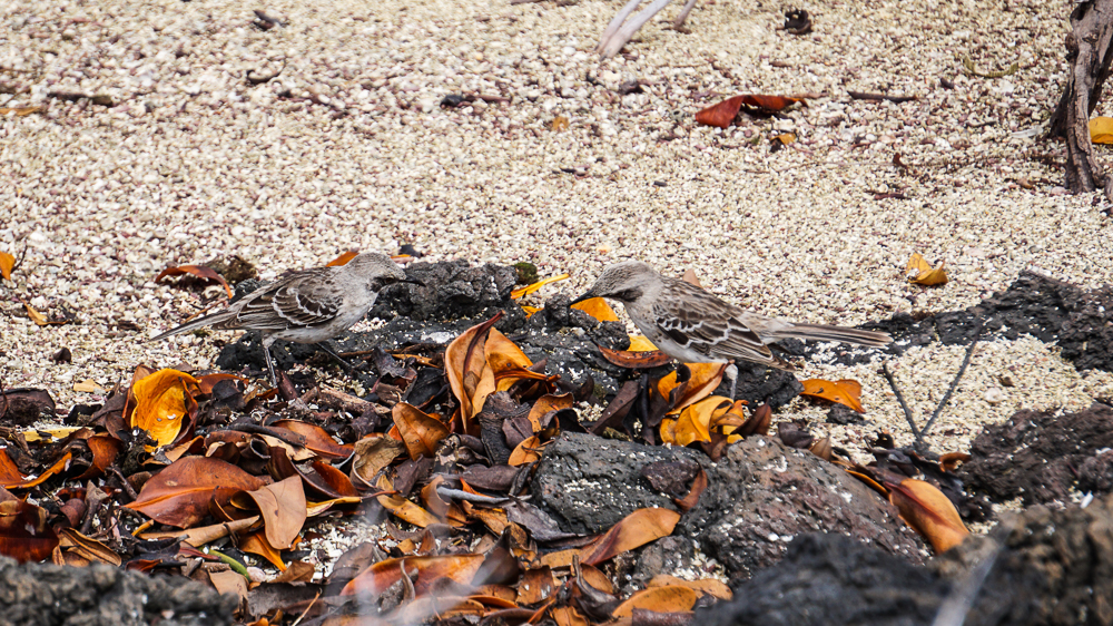
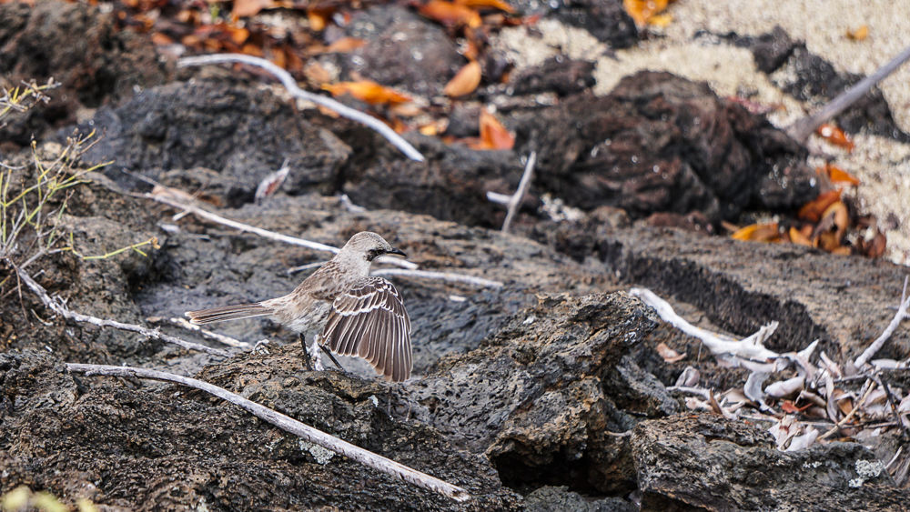
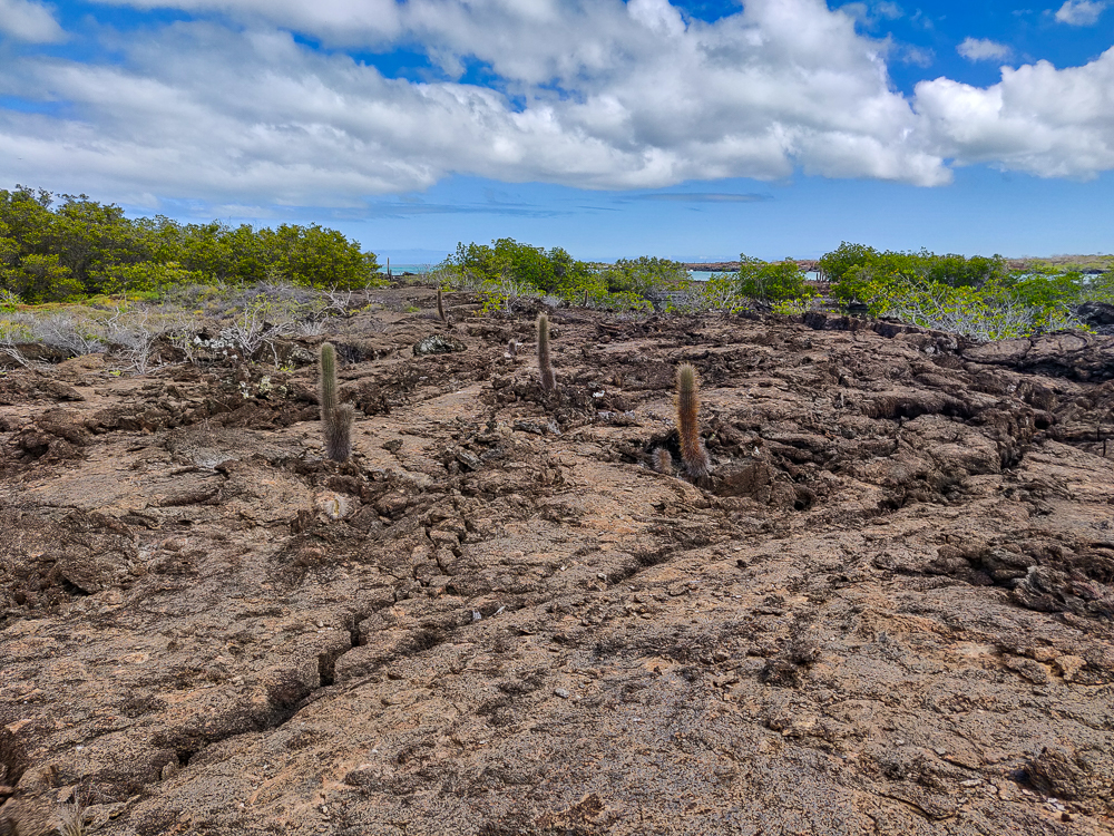
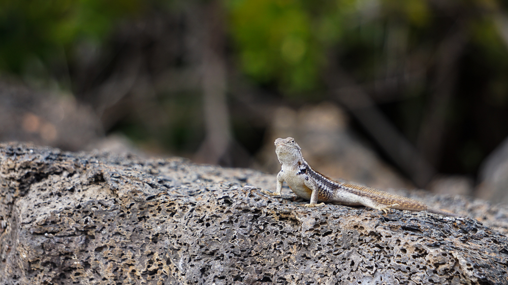
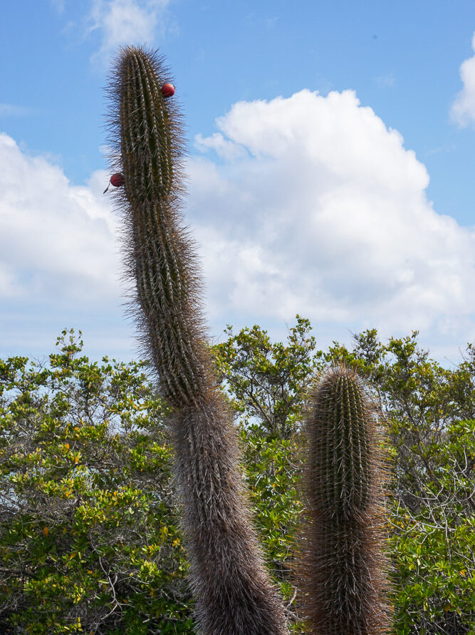
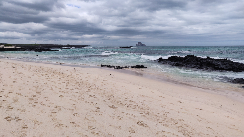
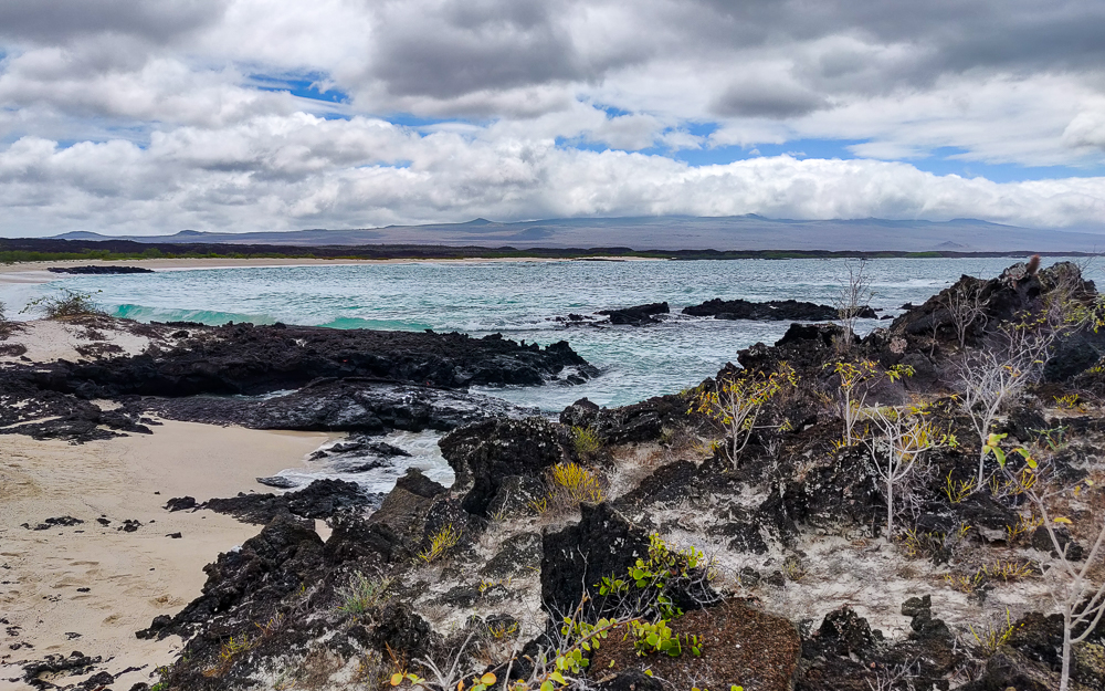
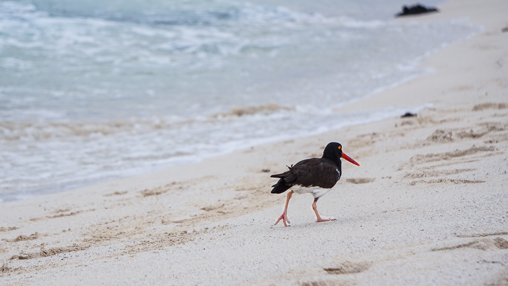
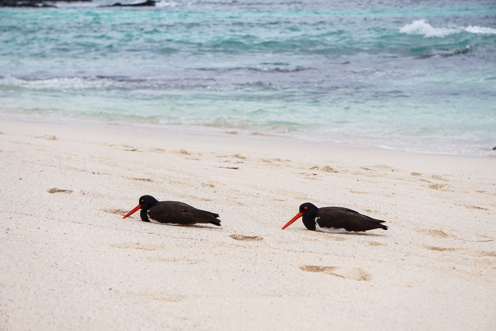
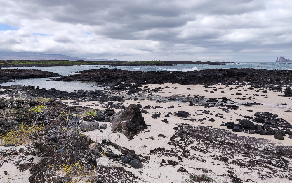
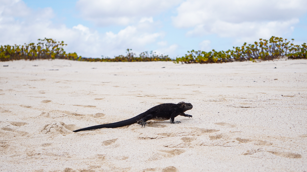
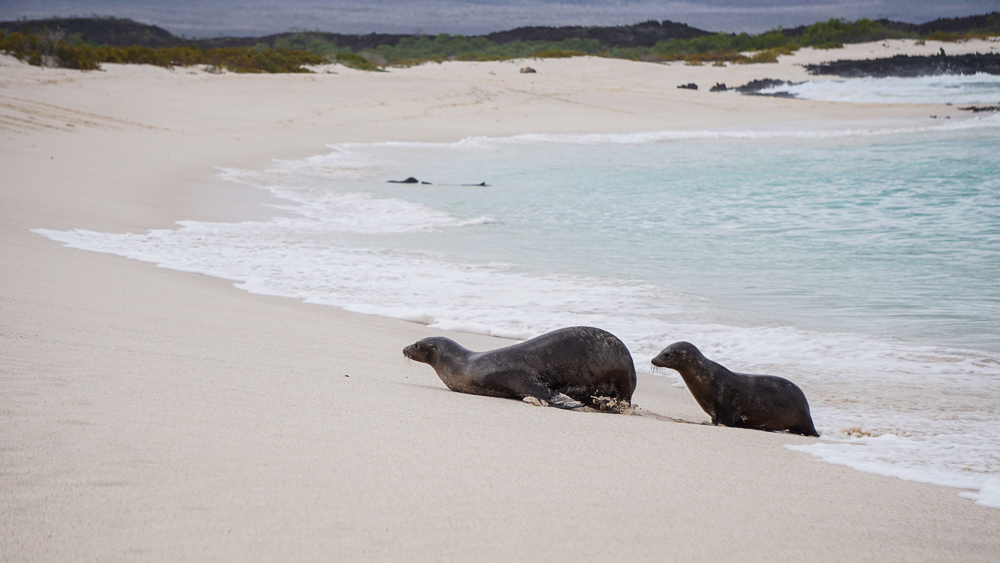
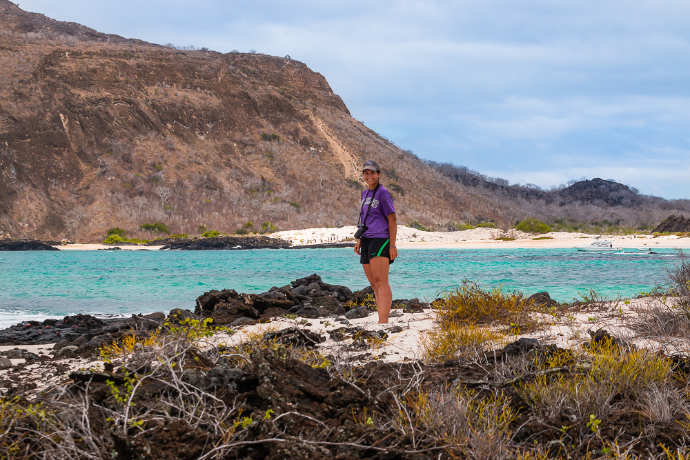
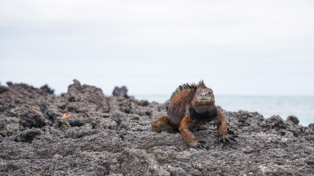
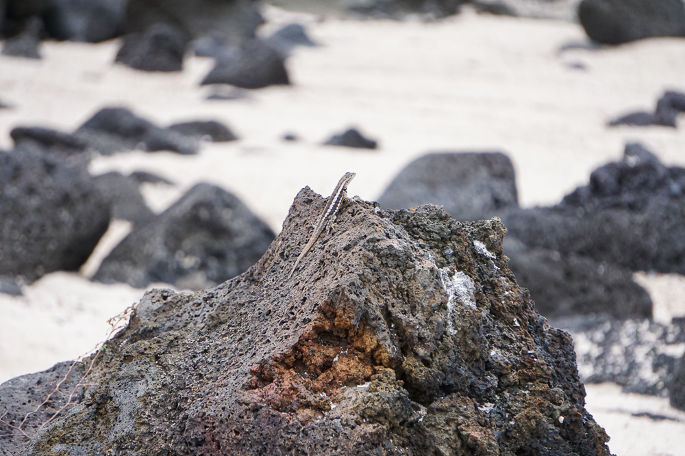
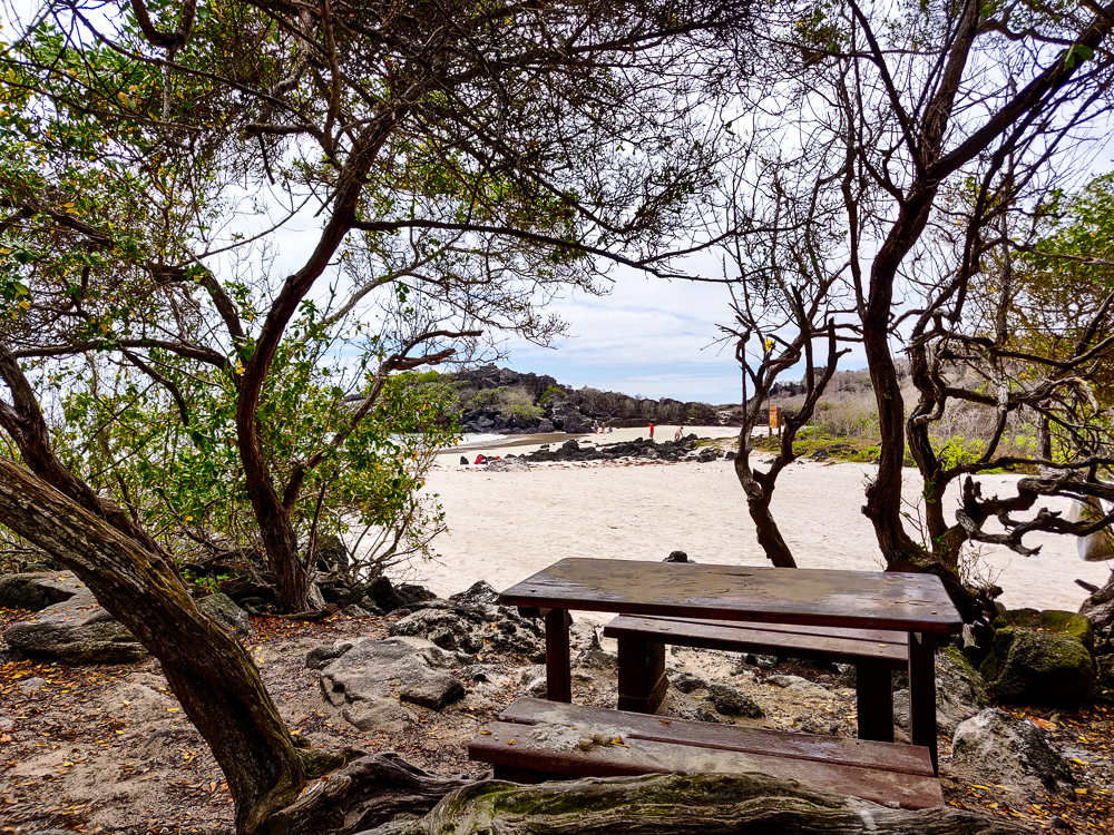
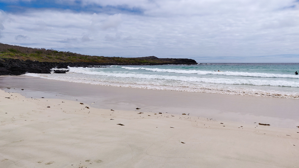
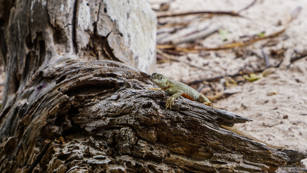
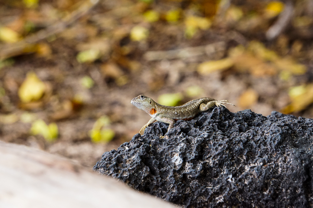
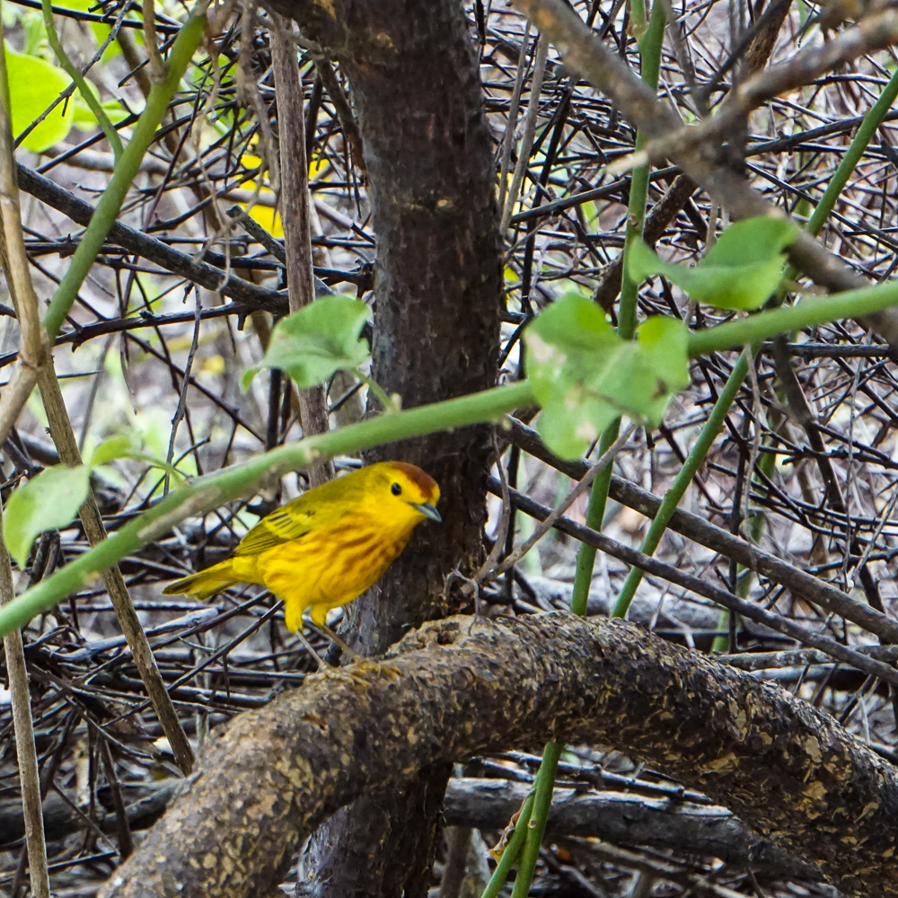
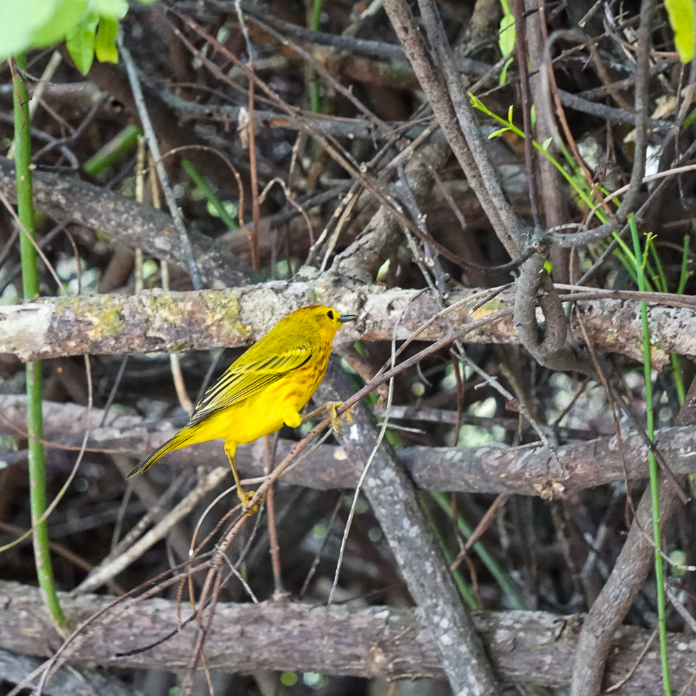
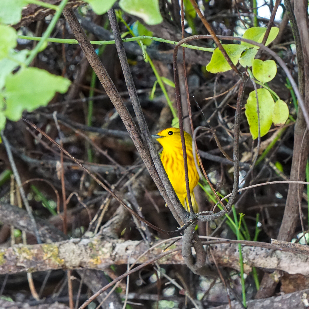
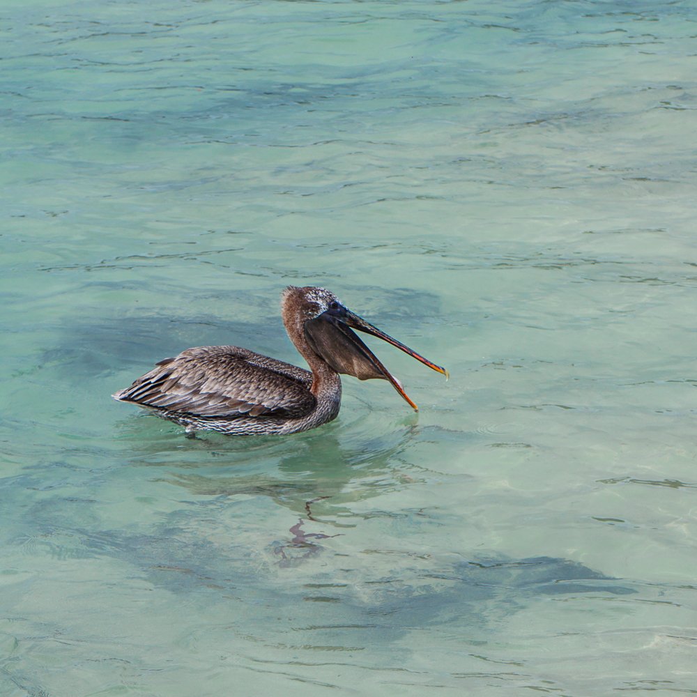
After we were satisfied, we loaded back into the taxi and headed for Puerto Chino. It’s another SUPER BEAUTIFUL beach, supposedly one of the most beautiful in the islands, but I don’t know. They’re all kind of the same and all very pretty. We weren’t planning to go swimming, so I spent my time practicing taking pictures of sea lions, lava lizards, and this pretty yellow bird that kept flitting around.

Path to Puerto Chino. It’s very nice and paved, but hopefully you don’t need any shade along the way…
Cool as a cactus.
You’re supposed to keep 6 feet between you and any animals… but the sea lions do NOT make it easy.
We considered eating lunch at this picnic table, and then a sea lion came and plopped himself right on top.
Puerto Chino. What do you think about the beauty of this beach vs. the others we’ve seen so far?
I’m obsessed with the lava lizard facial expressions
This one is adorable
An American yellow warbler
He’s super cute too
And we’re definitely friends
Sea lion striking a pose at Puerto Chino

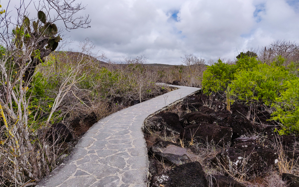
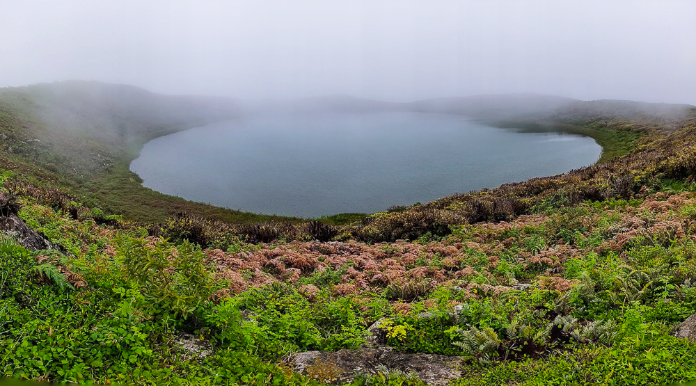
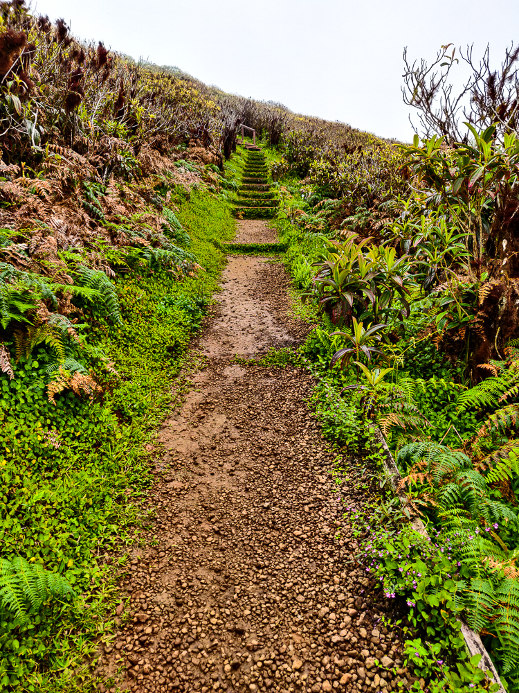
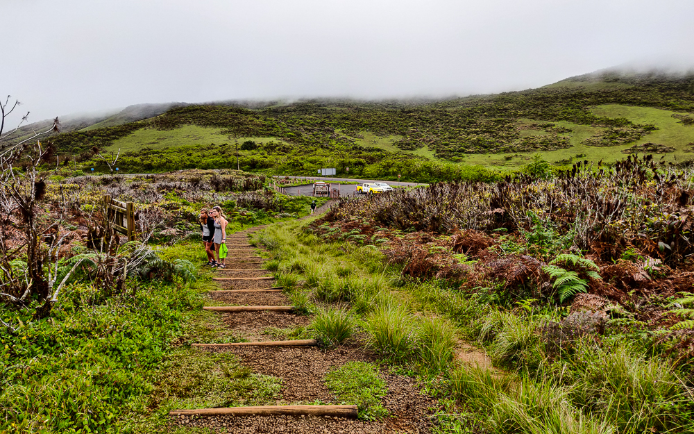
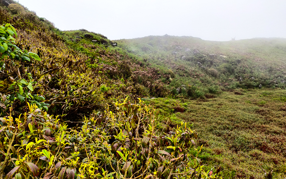
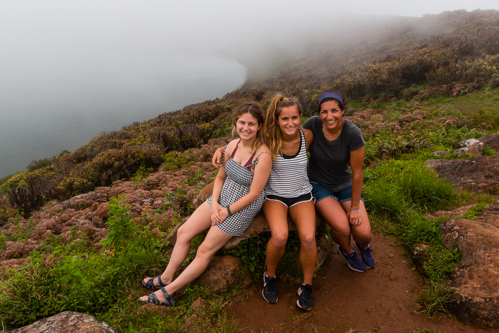
From there, we headed to Laguna El Junco, a volcanic crater lake that’s one of the only permanent freshwater supplies in the islands. Now, this goes back to what I mentioned in a previous post about the crazy diversity of landscapes on a single island. The lake is at 700m above sea level, putting it in the “highlands” category which means it’s green and damp and can be foggy while the coasts are simultaneously clear and dry. So even though the weather was beautiful in town, it was VERY foggy at the lake. Even so, we hiked up to see what we could make out through the fog.

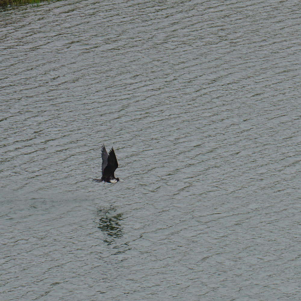
At first, nothing. We couldn’t even see across to the other side! But the wind kept the fog moving, and we were lucky to get a few moments of decent visibility. The lake is about 300m wide, and it’s filled by rainwater. Birds like to swoop around and use the water to clean the salt out of their feathers. It felt like we’d stepped into another world! I was happy enough with being able to see the opposite side of the lake, but on a clear day, they say you can see nearly the entire island as you walk around the rim of the crater!

Path leading up to the edge of the crater
Looking back towards the parking lot. Look at the solid layer of fog at the top of the picture!
Plants around the edge of the crater lake
Little flowers by the lake
Frigatebirds!
Soaring around the lake
So cool!
Panoramic picture of the lake during the few seconds that the view was kind of clear
Cousins! (pic by my uncle)

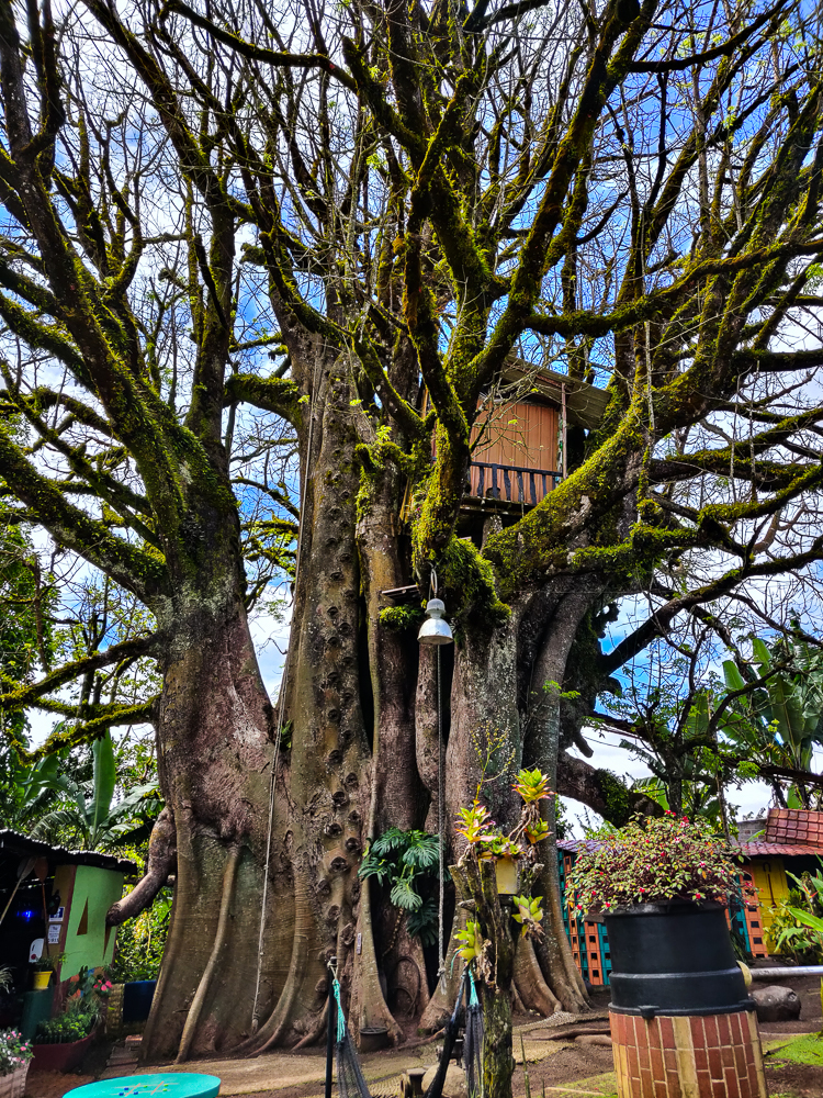
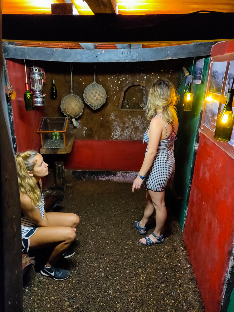
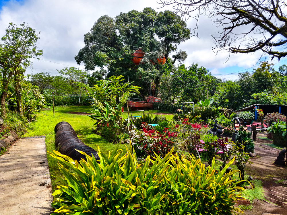
We made one last stop on the way back to town, in the tiny settlement of El Progreso. This is the oldest surviving settlement in the Galapagos, and if you recall from the history post, it has a horrible past. It was a penal colony, and eventually, this guy named Manuel Cobos turned it into a sugar mill. He started treating the workers like slaves, and they ultimately killed him for his cruelty. Now, about 500 people live in town, and it’s also the home of the islands’ oldest ceiba tree! Ceiba trees aren’t native to the islands, but it’s assumed that this one was planted by some of the earliest visitors. It’s said to be ~300 years old which is possible but maybe unlikely because the first settlement attempt wasn’t until the 1830s. But who knows? It is monstrous: 131 ft tall (40m) with a 61ft circumference (19m).

There’s a bridge leading up to the treehouse

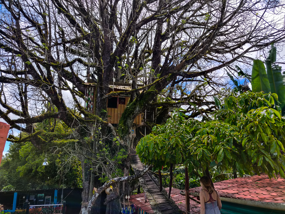
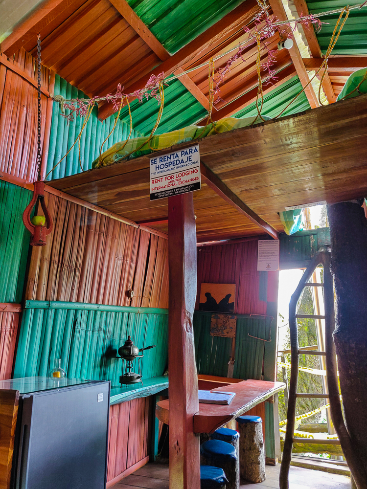
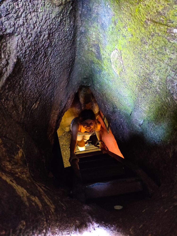
The tree is interesting enough just in itself, but it also features a treehouse! And it’s not your average built-by-a-kid treehouse. You can actually rent it overnight, and there’s electricity and wifi (the two most important things, of course), a loft with two beds, a kitchen, and a functioning bathroom (including a shower!). Craziness. And underneath the tree, there’s an underground room where I lasted about a minute before I started thinking about the fact that we were underneath a tree, and if the room collapsed, we’d be dead. So that wasn’t exactly my favorite part, but it was still cool.

Inside the treehouse. The beds are up in the loft, and the kitchen is straight ahead.
Check out that beautiful tree!
My cousin coming up from the underground cave
Not claustrophobic at all…
This is the garden outside of the treehouse. So pretty! (The treehouse is behind me to the right. You can see some of the tree branches sticking into the picture.)

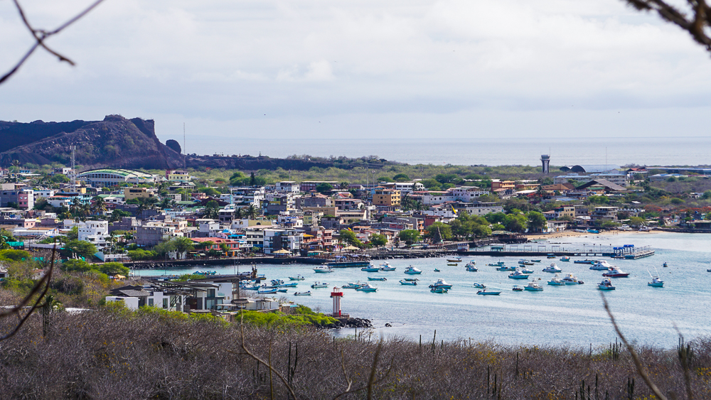
That was the end of the highlands tour, but like I said, it wasn’t the end of our day! After the taxi driver dropped us off back in town, we walked to the Interpretation Center which has a bunch of information about the islands: how they were formed, their human history, the ecosystems and flora and fauna. It’s actually where I got nearly all of the content for my Galapagos History post.

Pelican!
Fishing. Wait for it…
…nom nom nom!
Admiring the pelican (pic by my uncle)
Sea lion baby!

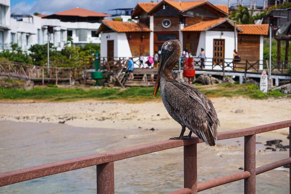
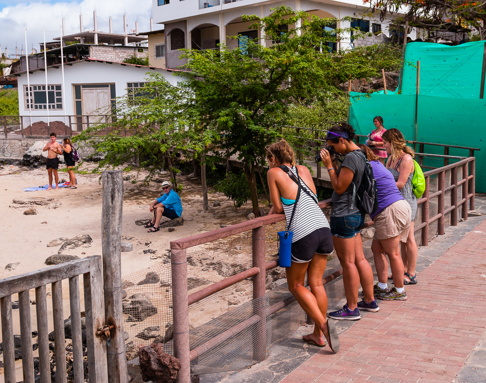
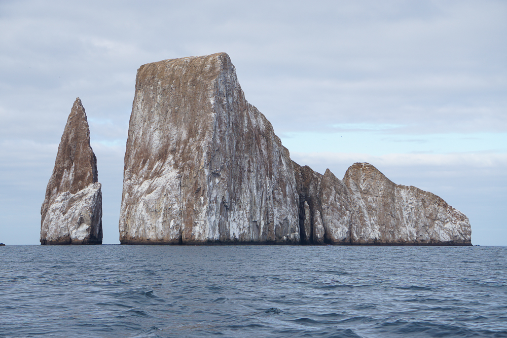
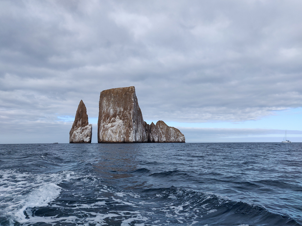
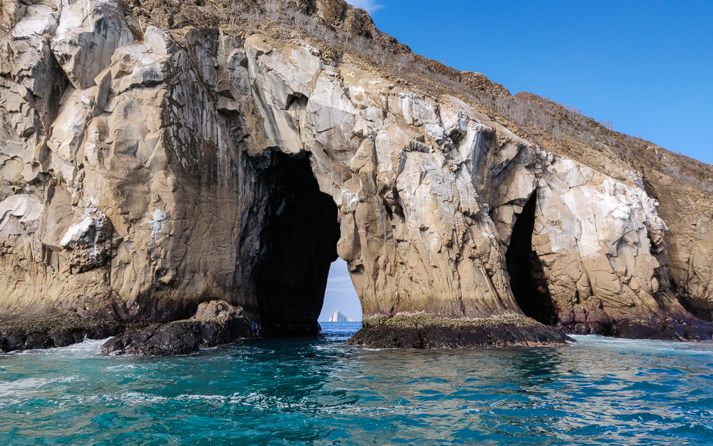
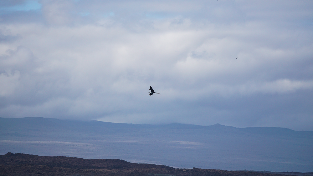
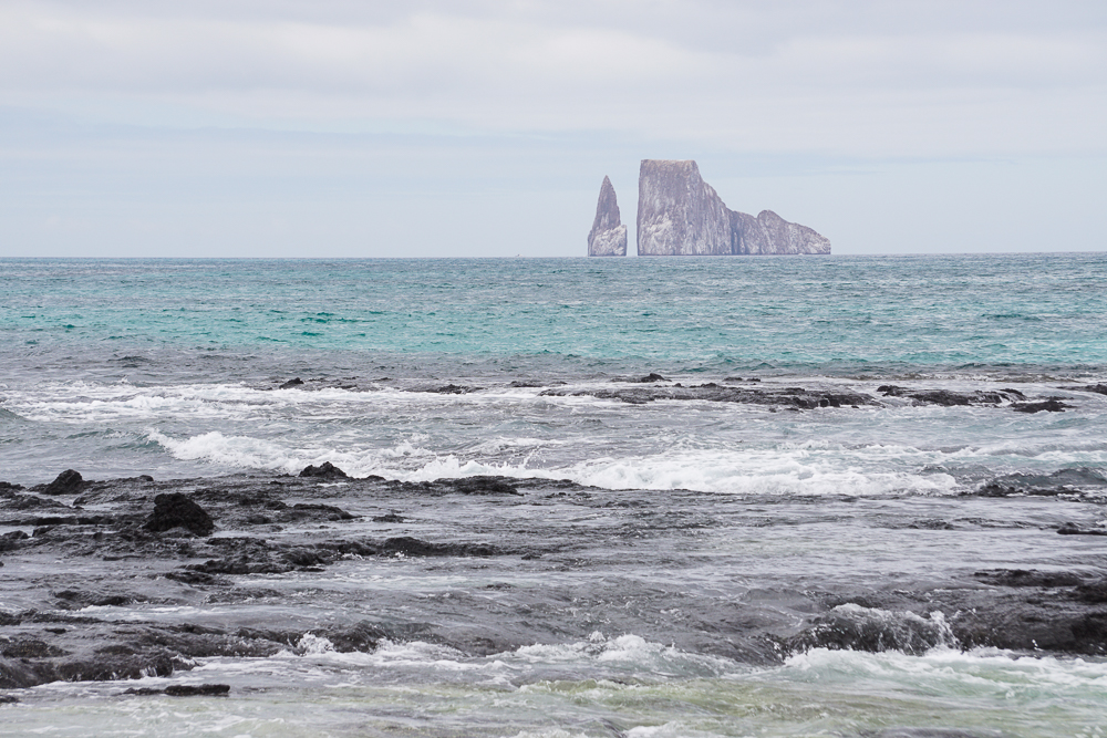
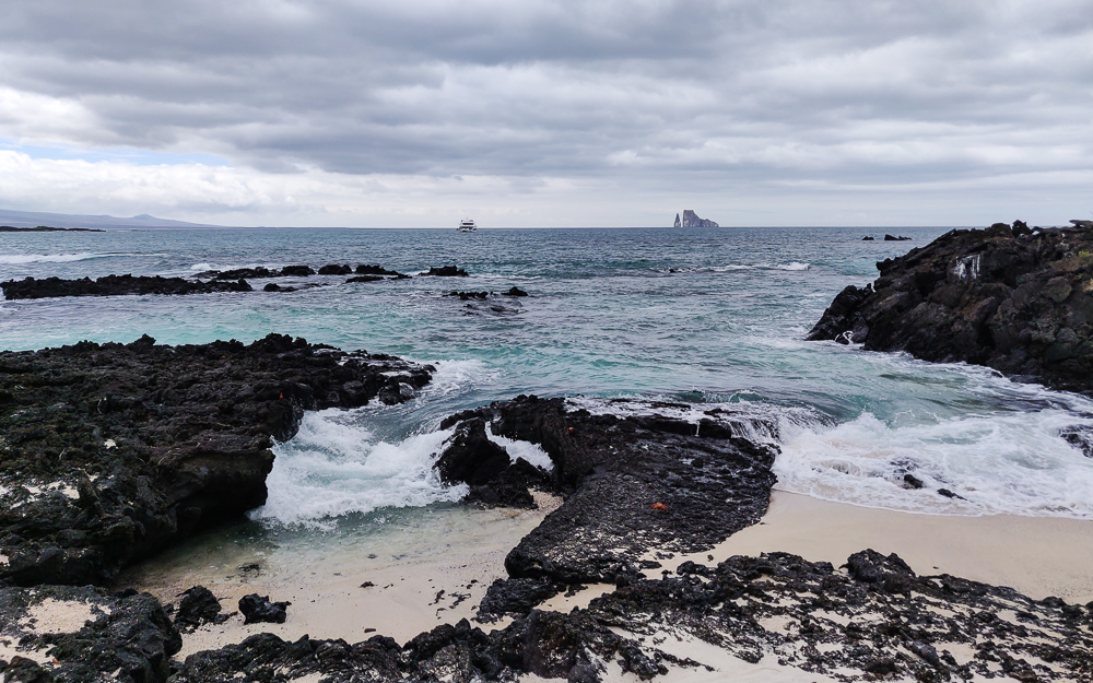
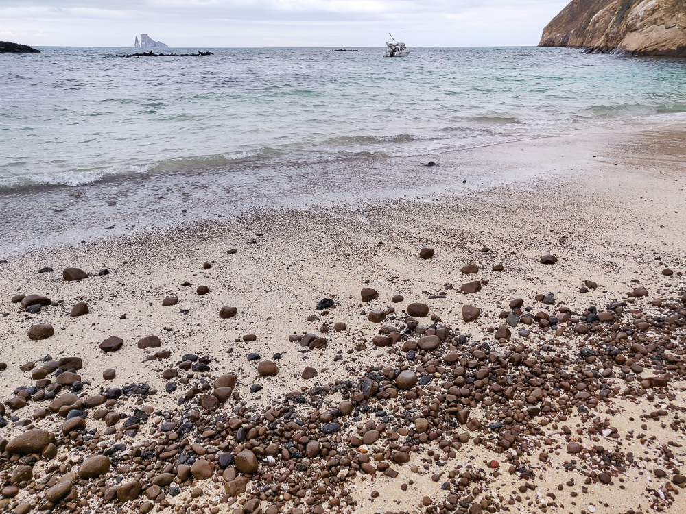
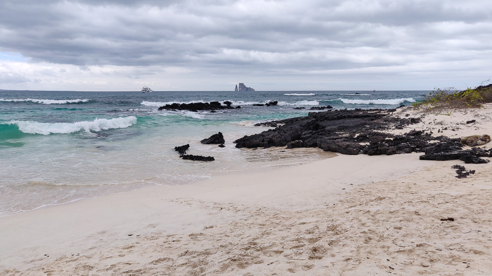
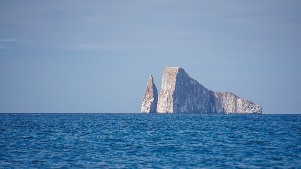
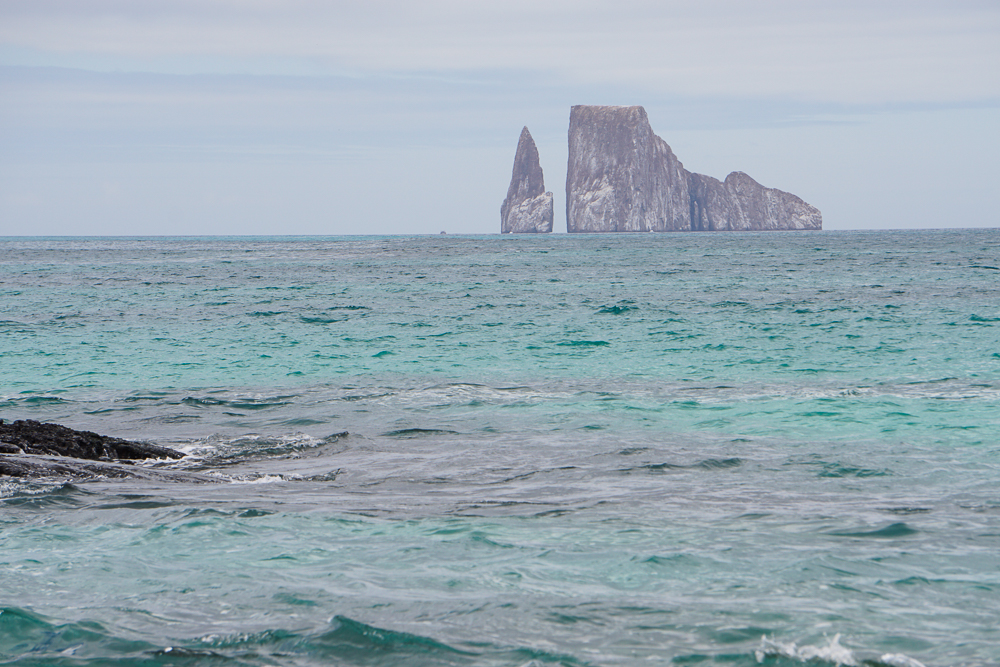
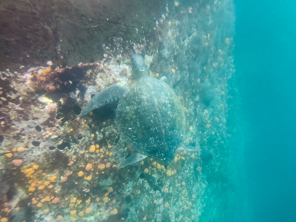
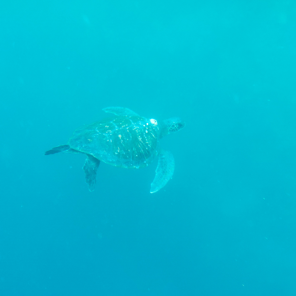
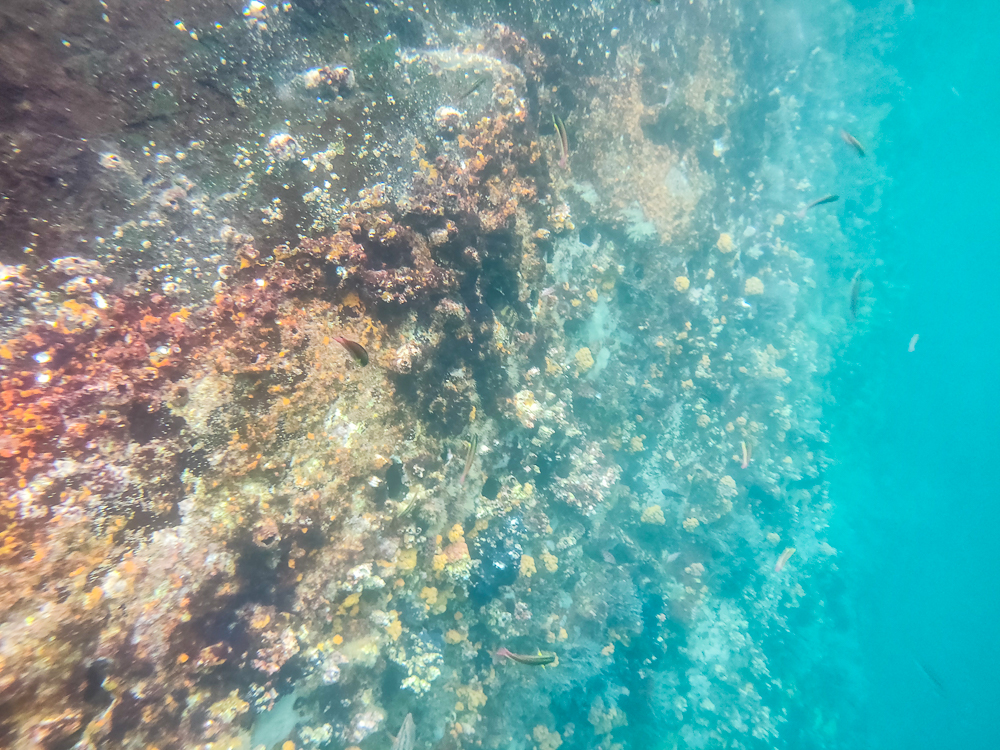
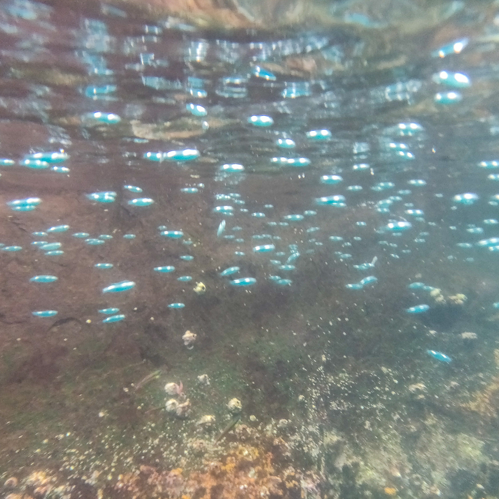
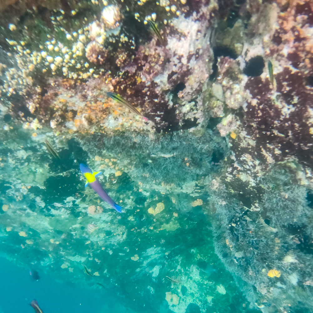
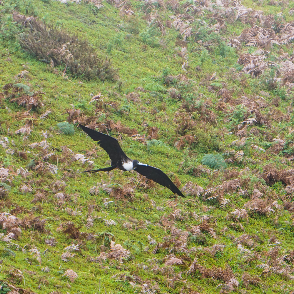
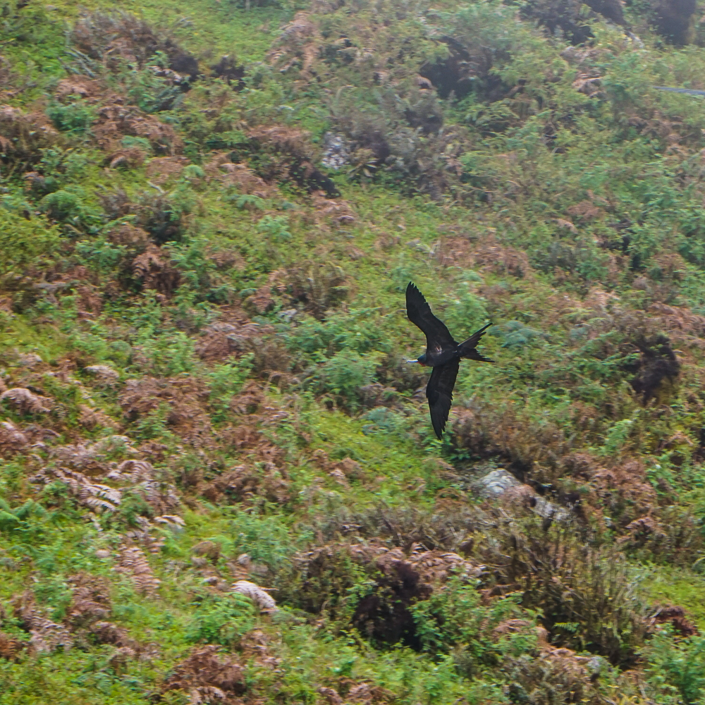
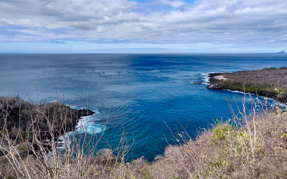
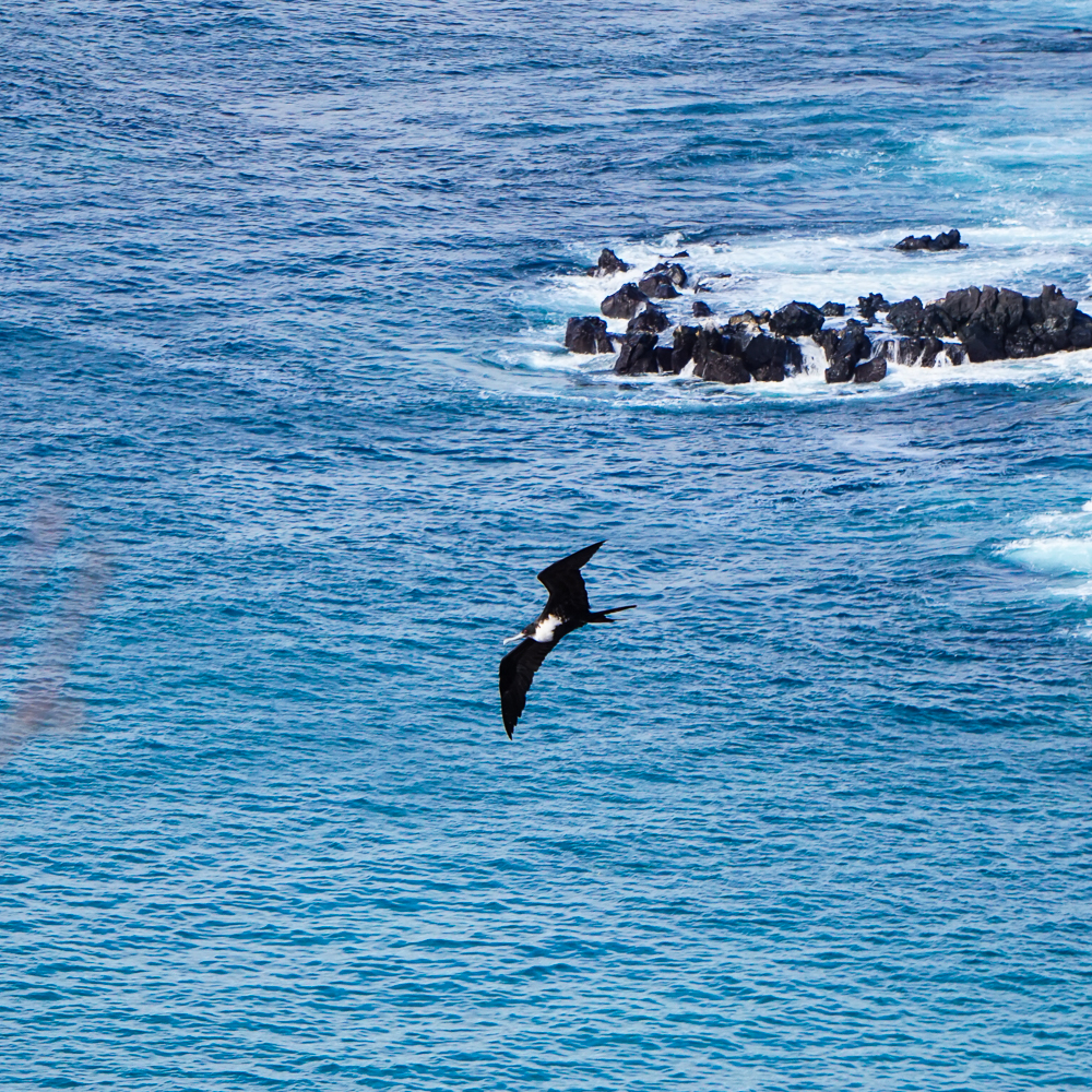
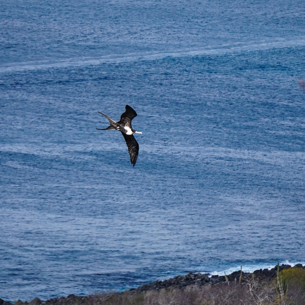
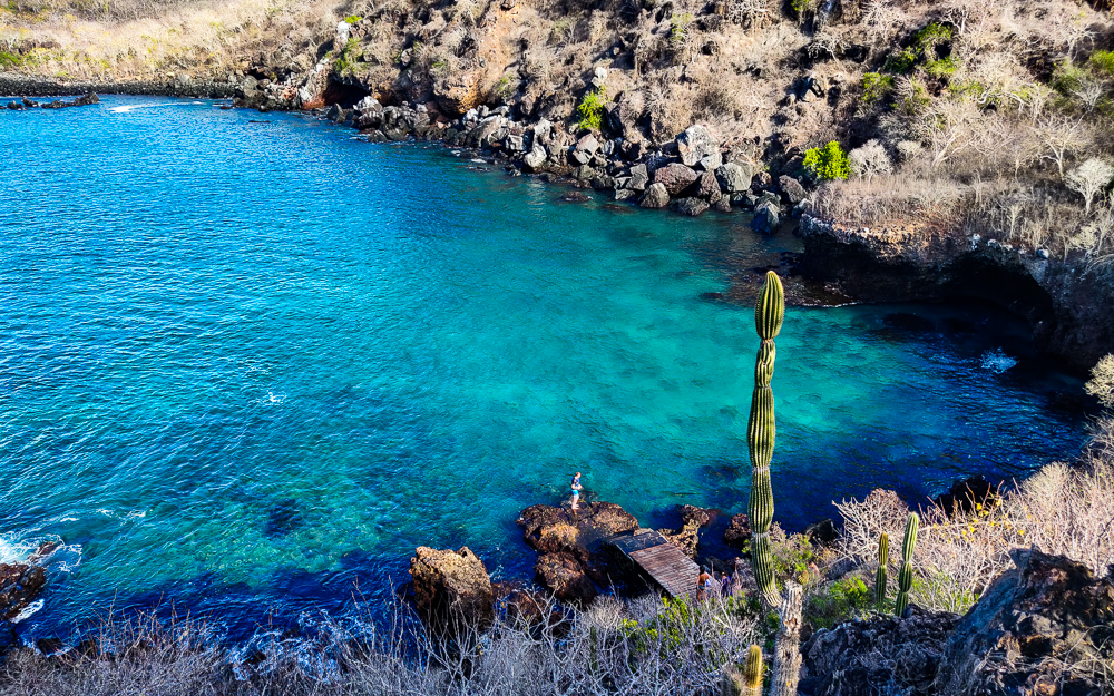
From there, we walked up a nearby hill, Cerro Tijeretas, where you can get nice views of the town and other parts of the island. You can even see Kicker Rock from there! It overlooks a pretty snorkeling spot, and there are a lot of frigatebirds flying around because there’s a colony that nests nearby.

View from Cerro Tijeretas
Looking back towards Puerto Baquerizo Moreno
Frigatebirds from Cerro Tijeretas

This is supposed to be a really great snorkeling spot
Do you see Kicker Rock out there in the distance??

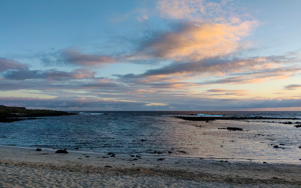
We also popped into a couple of beaches along the way, Playa Punta Carola and Playa Mann. They were fairly crowded because they’re public beaches close to town (especially Playa Mann). I guess if you’re looking for a beach vacation, that’s where you’d go? But I don’t think I’d recommend going to the Galapagos if you’re interested in just chilling on a beach. Save that for a less interesting place.

Playa Punta Carola (pic by my uncle)
I guess this beach is kind of pretty too

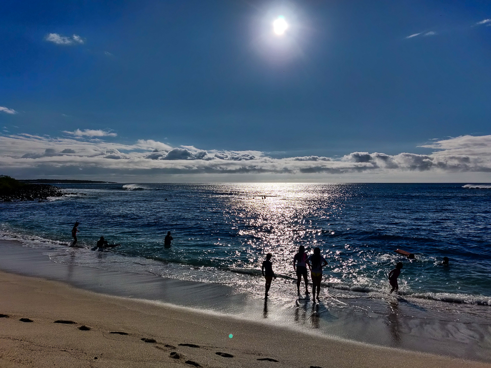
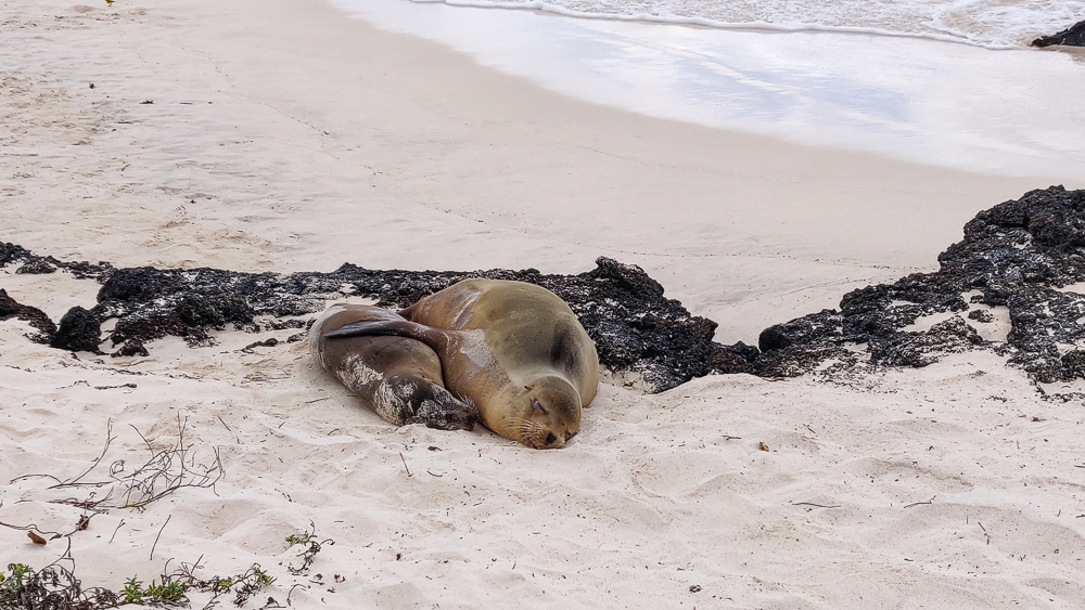
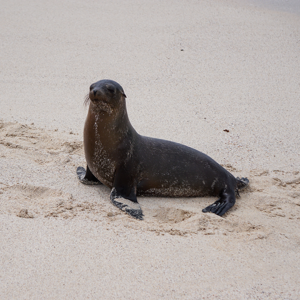
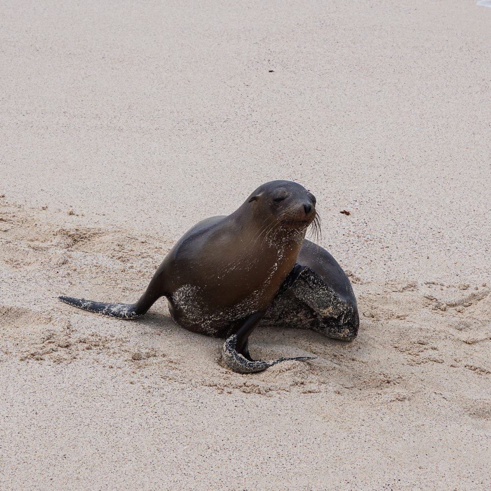
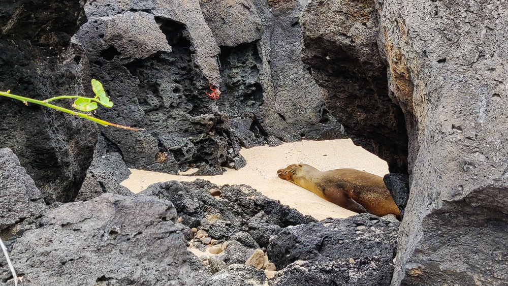
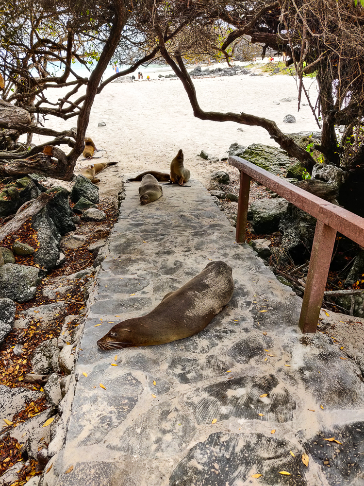
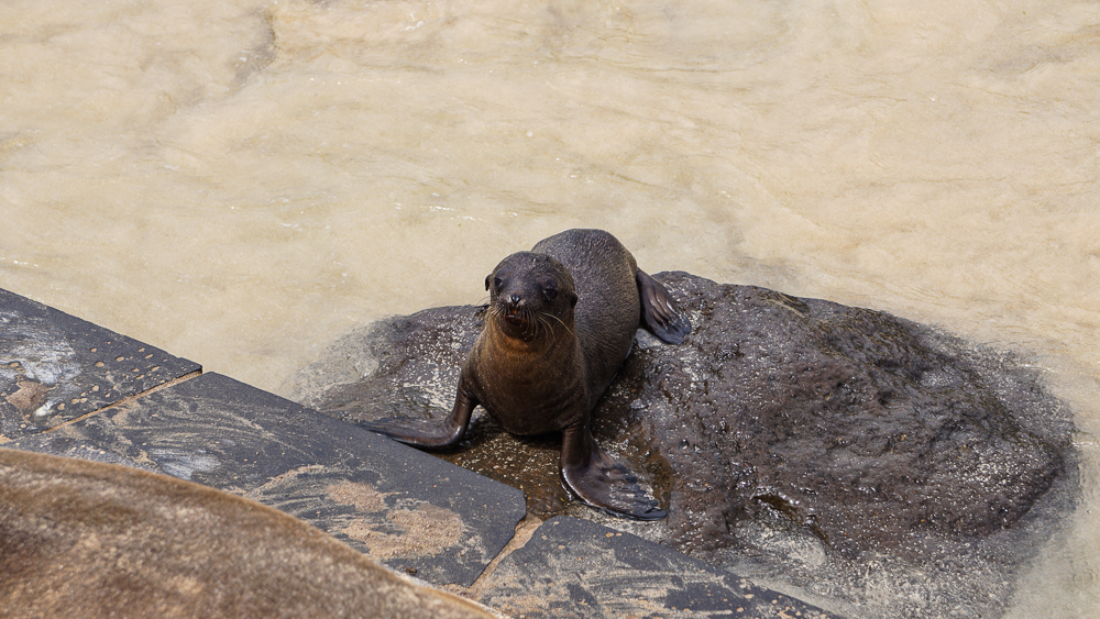
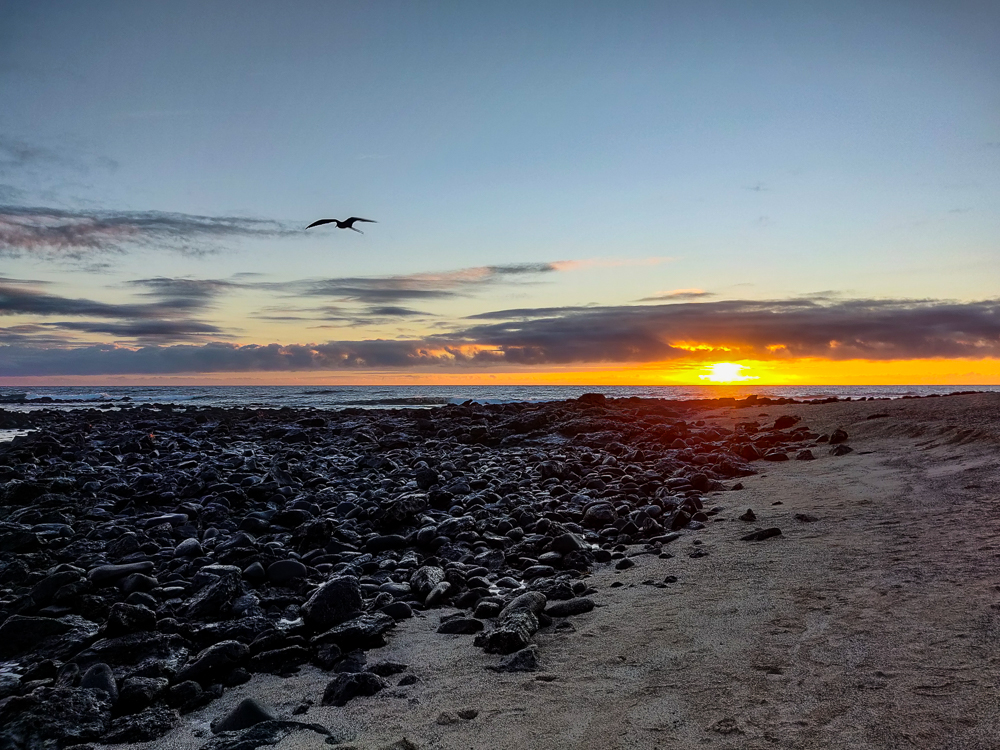
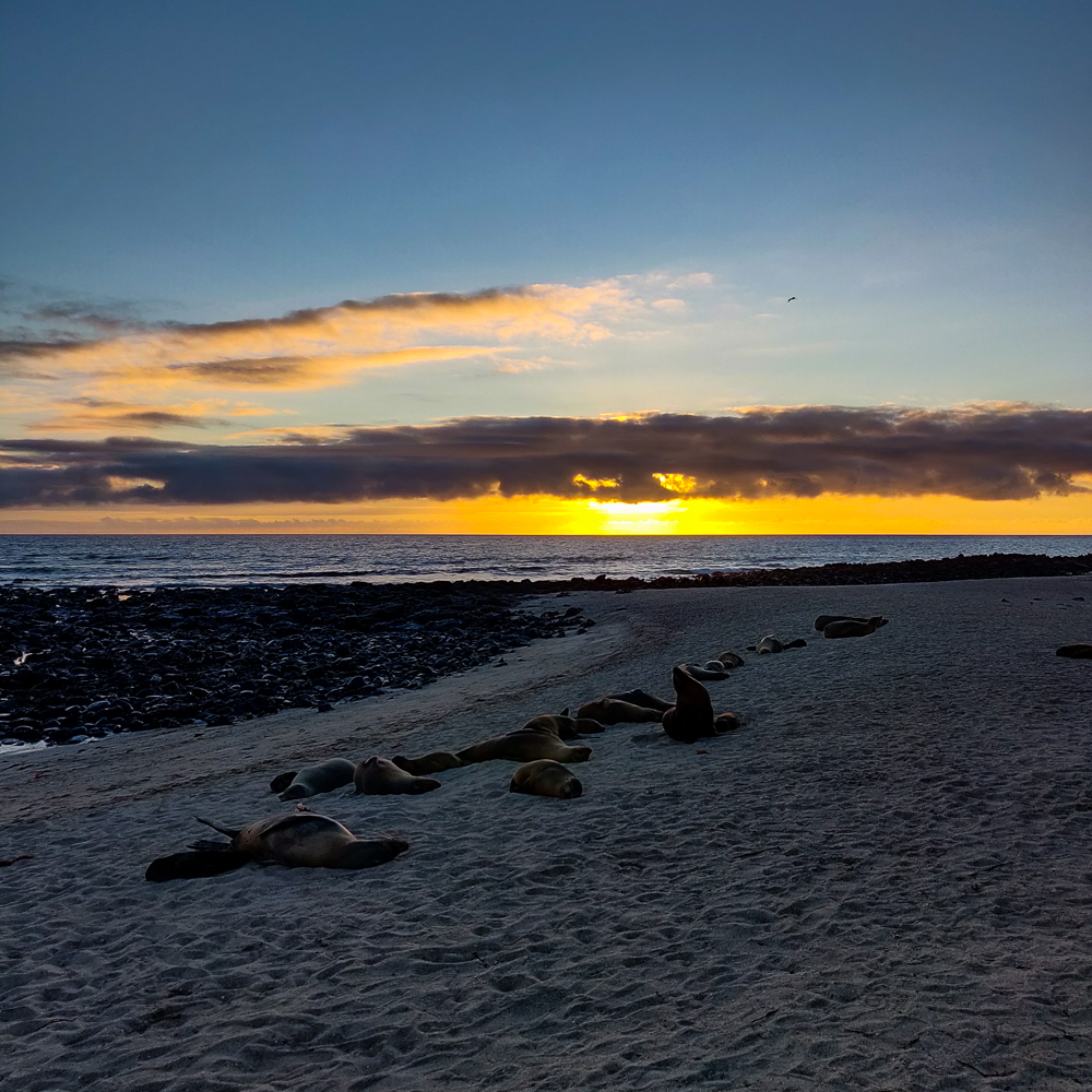
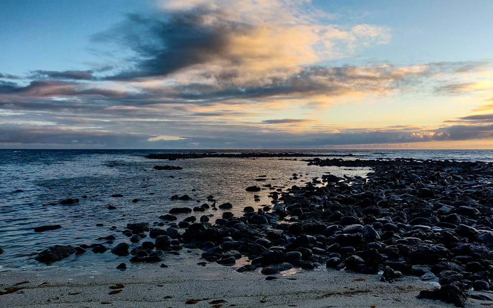
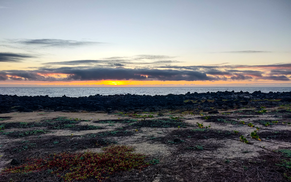
I was ready to collapse at this point, but my uncle really wanted to go to ANOTHER beach, Playa Lobería, to watch the sunset. We grabbed a taxi and got there only a few minutes before the beach closed, but that was enough time to look at some adorable little sea lion babies and take a few pictures of the sunset. After THAT, I really was toast. We got some dinner before heading back to our apartment, and I feel confident in saying that everyone slept like a rock that night.

Sunset!
Look at those clouds!
I understand why this beach is named after the sea lions
The tiniest little baby sea lion!!!! The mom sea lions go out to hunt and then come back and reunite with their babies by making sounds at each other. Even though you know they haven’t been abandoned, it tugs on your heartstrings to see such tiny babies crying out for their moms!
I suppose the sunset was worth the exhaustion
On the way out of the park
I’ll leave you with this…
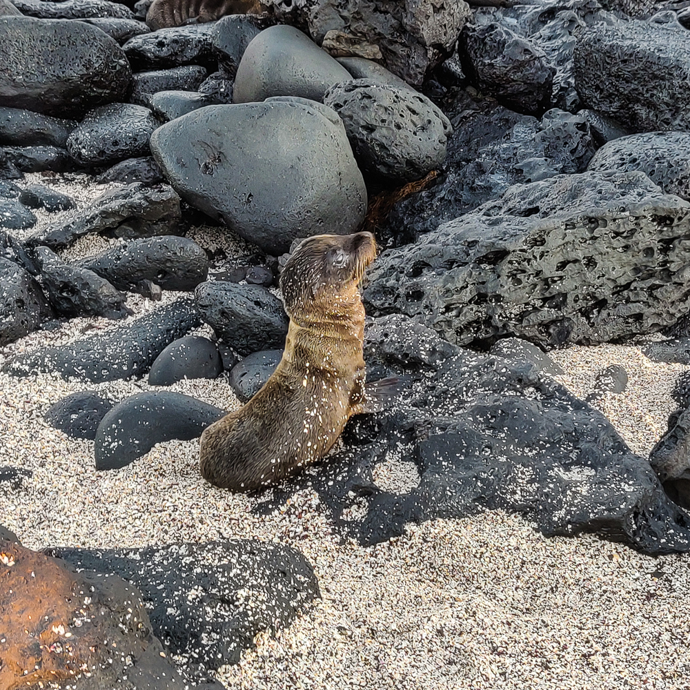
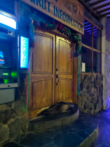
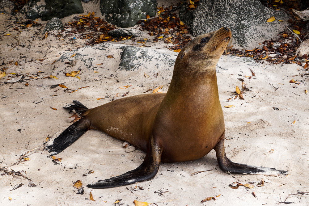
The sea lions literally just go wherever the heck they want. This one was camped out waiting for the tourist information center to open.

Related Posts

Kicker Rock – experience another side of San Cristobal and snorkel in the open ocean!

Lake Bosomtwe – visit a crater lake in Ghana, the country’s largest natural lake

Zakopane – while we’re talking about lakes, go for a hike in Zakopane, Poland to one of the prettiest lakes I’ve ever seen!

In my mind, there are two types of vacations: the “lounging and relaxing” type (not worth going too far from home because you can lounge equally well anywhere), and the “I need a vacation to recover from my vacation” type (anytime you go somewhere new and interesting). A Galapagos vacation clearly fits into the latter category, and my goodness. By day two, I already felt ready for my recovery vacation!

We had another full-day tour, this time sticking a bit closer to “home” and exploring other parts of San Cristobal rather than visiting another island. We were staying in Puerto Baquerizo Moreno, the largest town on San Cristobal and the capital of the Galapagos. It’s at the western end of the island, and for this tour, we sailed up to explore the northern coast. This boat ride was MUCH smoother than the previous day’s since we stayed near the island rather than crossing open ocean, and I don’t think anyone was upset about that.

For context, this is San Cristobal
We started at Puerto Baquerizo Moreno, went up to some spots along the coast south of the circle, and then went to Kicker Rock (in the red circle).
Our first glimpse of Kicker Rock as we headed past on the way to our first stop (warning: this is the first of MANY pictures of this rock)
You didn’t have to wait long for another picture of it… Spot Kicker Rock!
Those are some nice volcano rocks.
We also had a surprise on the way… DOLPHINS!!!! Excuse these terrible pictures but I was caught unprepared and tried my best
Not great, I know.
But DOLPHINS!

After about an hour, we made our first stop. The boat dropped anchor off the coast of the island, and we took a dinghy to the shore because the water was too shallow. There, we did our first “wet landing” which means that we had to get our feet wet, hopping out of the dinghy into the waves and walking up through knee-deep water onto the beach.

On the dinghy headed for shore. Are these not the most insane blues??
Site of our wet landing
I liked the color layers in this lava

One of the many cool things about the islands of the Galapagos is that even though they aren’t very big, they have some incredibly diverse landscapes. San Cristobal is less than 200mi2 (500km2), and sometimes it’s a beach, sometimes it’s like a rainforest, and sometimes it’s like the moon (official terminology). This was a moon stop. That is, if the moon was made of lava that flowed and then cooled and still looks like it could have been flowing five seconds ago. Seriously, it’s crazy! It’s not hard to look at the wavy lava formations and imagine it as molten lava because it looks like it was frozen in action. There are also these fantastic cracks in the ground which are almost exactly like how it looks in a cartoon when there’s an earthquake and you think “that’s so unrealistic”.

What the heck is happening with that lava?? It’s so cool. And so weird.
Panorama of the moon
Cartoon cracks
Don’t fall in!

I think the lava shapes are super awesome, and I was also in awe of the colors! There’s iron in the lava, and it oxidizes (like rust) and makes it turn shades of red/orange! Generally, the landscape is pretty barren, and I found it kind of eerie. It’s like looking back in time to a prehistoric age. Or like the moon (basically the same thing). And it was creepy quiet when no one was talking, aside from the sound of the wind and loose lava pieces clinking across the ground anytime someone accidentally kicked one. It sounds almost like if you tapped two pieces of porcelain together. Besides the lava, we saw a few birds and some cacti, but it wasn’t exactly a hot spot for wildlife.

Cacti with some SERIOUS spines
San Cristobal mockingbirds
They’re endemic to (only found on) San Cristobal Island!
Funky lava sculpture
Such cool textures!
These clouds are also fabulous
Lava lizard. He’s maybe about the length of a hand (well, my hand), and different varieties of these little dudes can be found running around most of the islands.
We cruised past these blue-footed boobies on our way to shore! Check out how crazy bright its feet are. They get brighter during mating season.
Cactus with weird red cactus fruits?
I believe that’s a frigatebird
Try to tell me that doesn’t look like the moon

For our next stop, the boat headed west (back in the direction we came) for a few minutes, and then we did the whole dinghy/wet landing deal at a beach, Cerro Brujo or “Witch’s Hill”, named for a craggy ash mountain at the end of the beach that I guess someone thought looked witchy? The guide said it’s one of the best/most beautiful beaches in the world… and then we also heard that said about at least five other beaches in the Galapagos alone. I’m no beach expert, but it seems like a tough call when every beach has the same deep blue waters and powdery white sand. But hey, I’m not complaining!

Wet landing at Cerro Brujo (pic by my uncle)
What do you think? Most beautiful beach in the world? I don’t know…
This feels like a painting

Beach views. And Kicker-Rock-from-a-distance views.

I spent our free time at the beach walking along the shore and admiring the birds. There wasn’t anything new, but we saw more oystercatchers which was exciting (I felt like such a birder because I knew exactly what they were), plus the usual iguanas and sea lions.

American oystercatcher!
Oystercatcher friends
Snoozing

Marine iguana, wiggling its way along the beach

It’s very entertaining to watch the marine iguanas walking. Plus, when they’re feeling defensive, they do this weird head-shake thing.

Sea lions aren’t the most land-graceful creatures
I guess it’s kind of pretty…
Scoping out my next shot (pic by my uncle)
Iguana!
Another lava lizard

Our final activity of the day was snorkeling at Kicker Rock, aka León Dormido, a formation about three miles (5km) off the coast of San Cristobal. Here’s the extent of my understanding about its formation: hot magma escaped from the sea floor, and when it collided with the cold ocean water, it caused an explosion. This formed a volcanic “tuff cone” (a cone of compacted volcanic ash) that was then eroded for thousands and thousands of years by the sea. Today, there’s a two-peak formation, about 500ft (~150m) tall from the ocean floor with a channel between the two visible rocks that’s about 60ft (19m) deep.

Kicker Rock. You can see the channel super clearly from this angle.
It doesn’t look nearly as intimidating in the sun!

The names are things that people think the rocks look like. Kicker Rock is because someone thought it looks like a boot, and León Dormido, or “Sleeping Lion”, is because someone thought it looks like a sleeping sea lion. I think these “someones” were a little kooky. (Also, there was a beach near where I lived in Peru called León Dormido, and that mountain/rock also looked nothing like a sleeping sea lion. My conclusion is that this is just a default Spanish name for rocks near the sea.)

León Dormido
and León Dormido? I guess I can kind of see it, but no.

Kicker Rock is known for hosting a great diversity of sea life: tropical fish, rays, sea turtles, sometimes sea lions and marine iguanas, and a few varieties of sharks including hammerheads. So, why is this location such a hotspot? It’s a combination of things… the strong currents + the ocean depth + a big, solid structure in the middle of the ocean = a disruption in normal water movement and the stirring up of nutrients that are usually found in the deep sea. The deep-sea nutrients end up closer to the surface and attract sea life.

This provides an especially cool opportunity for snorkelers because it puts some deep-sea diversity within reach and makes it feasible to snorkel somewhat in the open ocean. I was mostly excited about this… but I was also mildly terrified. Okay, confession time. I have an irrational fear of sharks. I mean, it’s semi-rational because yes, sharks can be dangerous, but it’s irrational because I don’t like going in the ocean AT ALL unless the water is clear. And that’s so that I can get myself out of the water ASAP if there’s a shark in sight (yes, in my mind, I can outswim a shark). The concept of WANTING to see a shark while being IN the water is not one that my fear can comprehend. The tour guide said that there are always sharks there, but whether you see them or not depends on the water clarity. I assume other people were excited by the high probability of a shark sighting. I was just anxious, and almost paralyzingly so. But I didn’t want to miss out on something because I was scared, so I told myself that I had to get over it. Did I? Well… get over it? No. Persevere through it? Yes.

Unfortunately for us, the currents were kind of strong, and the water wasn’t especially clear. The boat dropped us near Kicker Rock, and we swam our way around the formation. Visibility was decent for maybe 10 feet, and most of my energy was spent trying to move forward, not get pushed into the rocks, and not get pulled too far away from them. I’m a good swimmer, but it was a lot, especially if you’re also trying to look at things as you go!

Sea turtle!

I didn’t handle the currents nearly as gracefully as this sea turtle…

Since the visibility wasn’t great, I mostly spent my time looking at the little fish and plants and stuff (clearly I’m no marine biologist) that were on the rock. The colors were amazing, and I imagined I was swimming past little fish neighborhoods. I also saw a couple of sea turtles and a faint shadow beneath me that looked like a ray. The worst thing was that there were TONS of tiny jellyfish. I’m 99% sure that the guide told us they didn’t sting, but that was NOT true. It wasn’t super painful, but I kept feeling sharp pinpricks on my face and arms. Wonderful. It also was a little disconcerting to not be able to see the bottom of the ocean (personally not a fan), and it absolutely didn’t help with my shark fear. Focusing on the rock helped me to keep my bearings and feel slightly less adrift.

Jellyfish! These were not very big… maybe about 3″ long (8cm)
Turtles are friends.
Oh to have an underwater camera! (I had my phone in a waterproof case. And I was also nervous that I was going to drop it to the bottom of the deep blue sea, never to be seen again. Even though it was attached to me by a lanyard. And my hand’s death grip.)

Here’s some footage of the fish neighborhoods!

These look like they’re just bubbles, but I’m almost positive that they were little fish. I called them bubble fish. (I’m a GREAT namer, in case you couldn’t tell.)
Not super clear, but these were my favorite little fish. Not the one that’s most obvious in this picture, but if you go up a little, you’ll see a smaller fish with similar-ish coloring (blue head to yellow, orange, and a pink tail).

When we were nearly all the way around the formation, the guide delivered the “good news” that the currents weren’t too strong to keep us from swimming through the channel. Oh, goody. Did I mention? The channel is where the sharks like to hang out. Thought stream: “EEEE! Deep breath. Stay with the group. No sharks want to eat you. Go for the eyes and gills. You can swim faster than most of these people. You’re okay. Don’t think don’t think don’t think.” I did it. It was not great. I couldn’t see anything which made it infinitely worse because there were almost definitely sharks, they almost definitely knew where I was, and I had no clue where they were. Nope nope nope. Not my favorite experience. The good news is that I didn’t get attacked by a shark, so at least my irrational fear took a slight hit (it likes to tell me that if there is a shark in the area, it WILL attack me. Now we’re down to “it MIGHT attack me”).

Anyway, after we swam through the channel, the boat picked us up on the other side. My nerves were about spent by that point, and I couldn’t get out of the water fast enough. Plus, I was tired of getting zapped by jellyfish. And just tired. Everyone seemed to be on the same page because we rode back to town in near silence, and after we got back, I sat around like a potato until deciding on an early bedtime.

With our guide after getting back (pic by my uncle)

Related Posts

Welcome to the Galapagos – learn more about the islands’ formation

Española Island – explore another Galapagos-ian island with a completely different landscape

Diamond Beach, Iceland – compare the white sands of Playa Cerro Brujo to the black sand beaches of Iceland!

Ada Foah, Ghana – lounge around in the Ghanaian beach paradise of Ada Foah

Batumi, Georgia – I can’t talk about beaches without mentioning my favorite pebble beaches of Batumi!