Does it feel like we’ve been in the Galapagos forever? Well, there are certainly worse places to spend however many months it’s taken me to write these posts. Believe it or not, though, we’ve made it to the final full day of our trip! We had one last tour scheduled, and the day kicked off when my alarm went off at 6:30AM… approximately 30 minutes after I fell asleep after spending most of the night trying, and failing, to fall asleep through the New Year’s party happening in the town square. Anyway, suffice to say that the day wasn’t off to an ideal start.

On top of that, it was raining. Of course. I was hoping that it would be like some of the other days when it rained in the morning but stopped by the time we got to wherever we were going, but we weren’t so lucky. The good news is that it’s hard to have a bad day in the Galapagos! Even with the rain, we got to see some amazing things.

Our destination for the day wasn’t too far away. We were headed to Los Túneles (The Tunnels), an area on Isabela Island (where we were staying) that’s known for being a great snorkel spot and for its lava formations. We’ll get to that, but first… it takes about 40 minutes to get there by boat, and on the way, we saw manta rays in the ocean!! I don’t think I even know that these things existed, and if you’re like me… think stingray, but HUGE. The ones we saw were probably at most 10ft (3m) from fin tip to fin tip, but on average, they’re about 15ft (4.5m). At their largest, they can be 23ft (7m) across! Oh, and weigh 6600lbs (3000kg). HOW did I not know about them?? Man, the ocean is a CRAZY place.
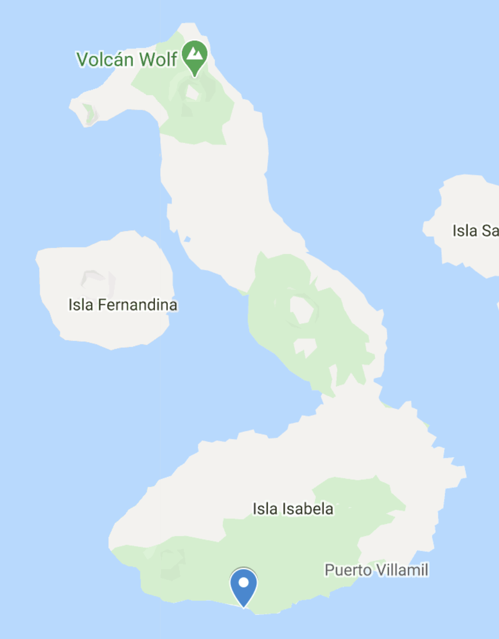
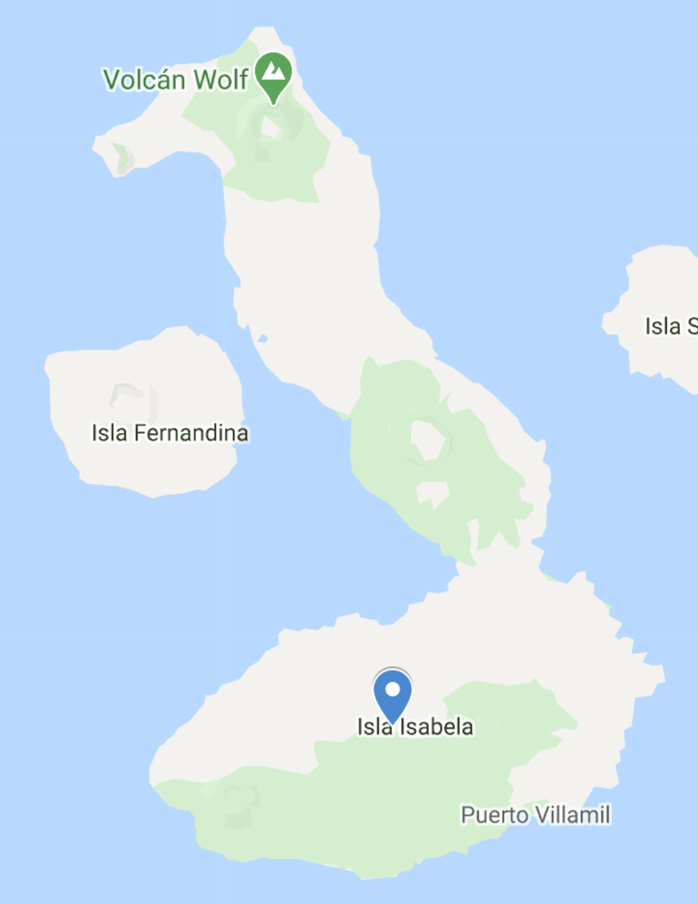
For context, we were staying in Puerto Villamil (on the south coast), and Los Tuneles is about at the blue pin.

The captain stopped the boat so that we could watch them, and the guide explained that they are very curious and often stop to investigate/“play” with boats. They were sticking their fins out of the water (looking creepily like shark fins) and flipping over to show their bright white undersides. They may be intimidatingly large, but they aren’t harmful to humans. They can’t sting, and they eat plankton by filter feeding, like blue whales. To do so, they swim with their giant mouths open (the largest ones could fit multiple grown humans in their mouths… eek!) and direct plankton and water in with the help of these weird little flexible horns that they have. Everything goes through a filtering system, and food gets consumed while water gets expelled. They can also swim impressively fast. At a sprint, they can reach speeds up to about 22mph (35km/h), though they usually cruise at closer to 9mph (15km/h). One more fun fact… they have the biggest brains of any fish.
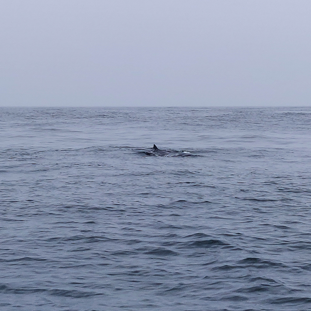
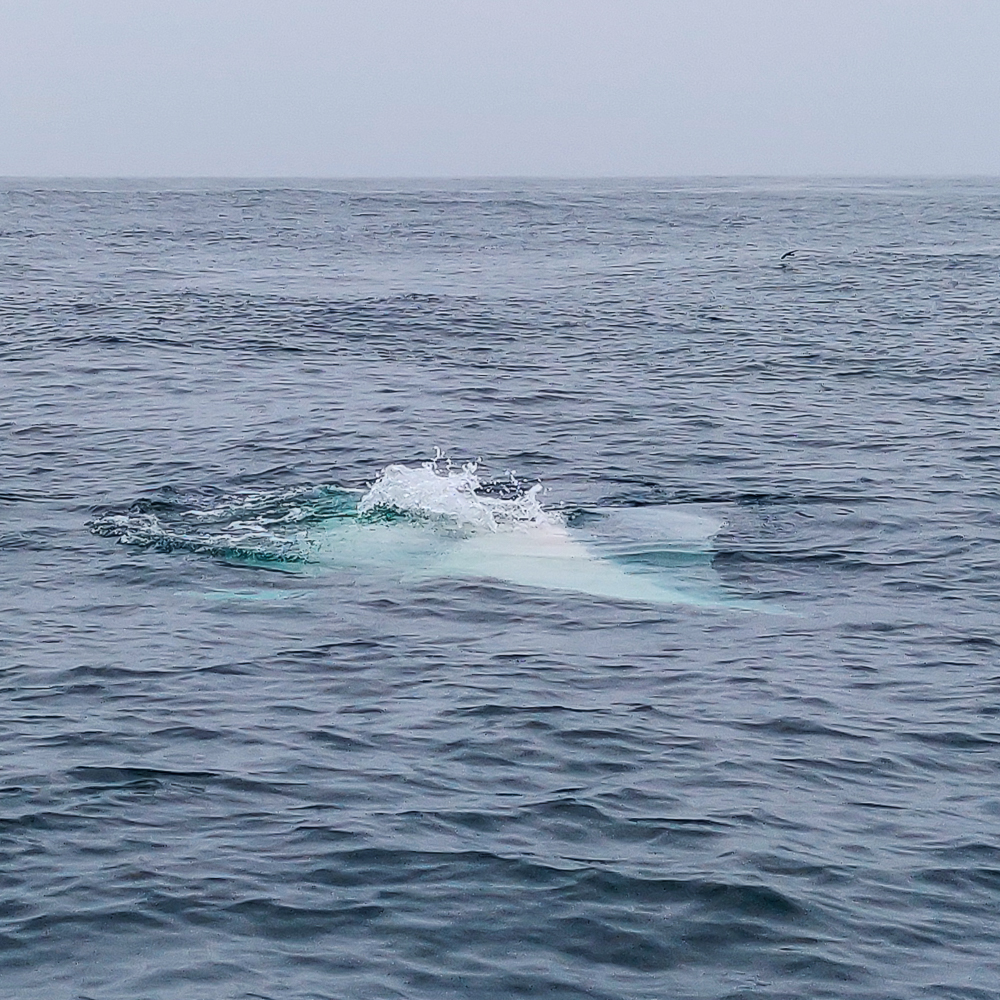
Looking like a shark fin
Giant.

Here’s a not-great-but-best-I-have video of one of them surfacing. You can see the horns I mentioned (they’re the things sticking out of the water above its gills).

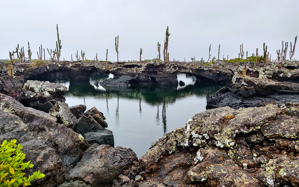
After they got tired of us, we continued along to our first stop. Los Túneles has some amazing lava formations. As its name suggests, there are lots of tunnels underneath the surface, plus caves and bridges. Remember how we’ve talked about how lava formed the islands? As we’ve seen in other places, there can be voids underneath the surface in the form of lava tubes and such. That, in combination with the erosion caused by waves crashing into the coastline, created a landscape unlike anything I’d ever seen before.

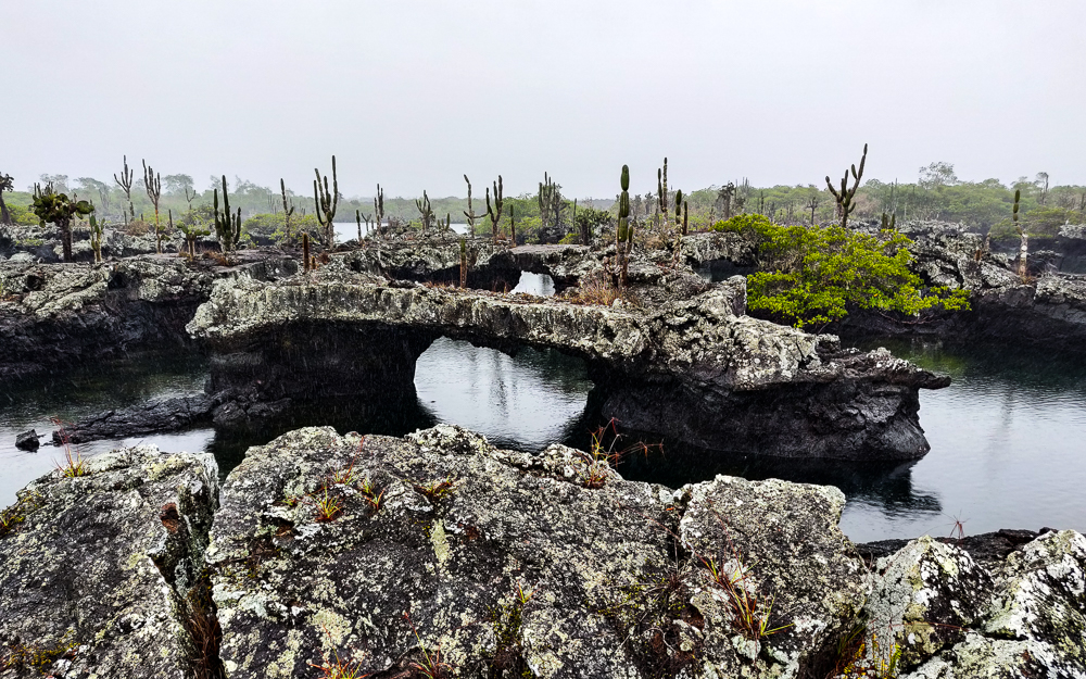
How cool is this?
Bridge!

Aside from the fact that it was STILL raining, I was thrilled to have the chance to walk around. We got to walk over some of the lava bridges, and the water surrounding us was so incredibly clear that we could see all sorts of sea life swimming by! We saw a few golden rays (so, so, so cool to see them swimming! Even if they’re much smaller than manta rays), plus tons of sea turtles. Oh, what I would have given to swim in that water! But it’s a protected area, so no swimming allowed.
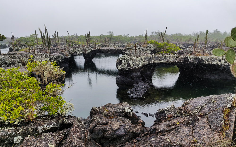
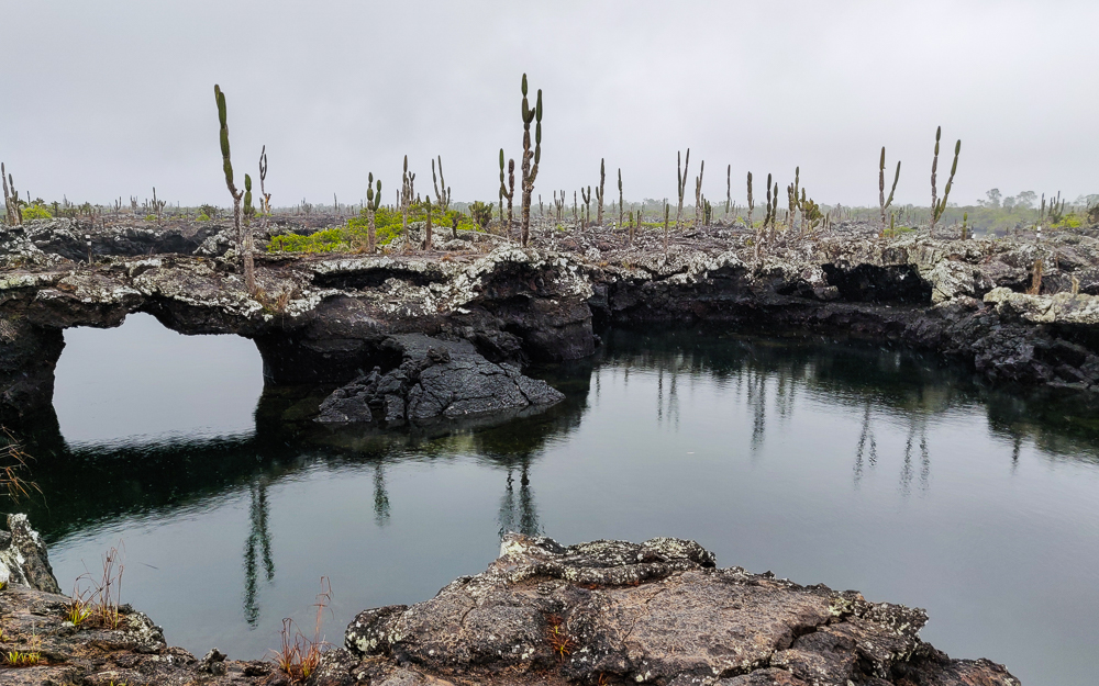
Rain making a strong appearance in this picture.
With the bridges and the cacti… man. What a weird landscape, right?

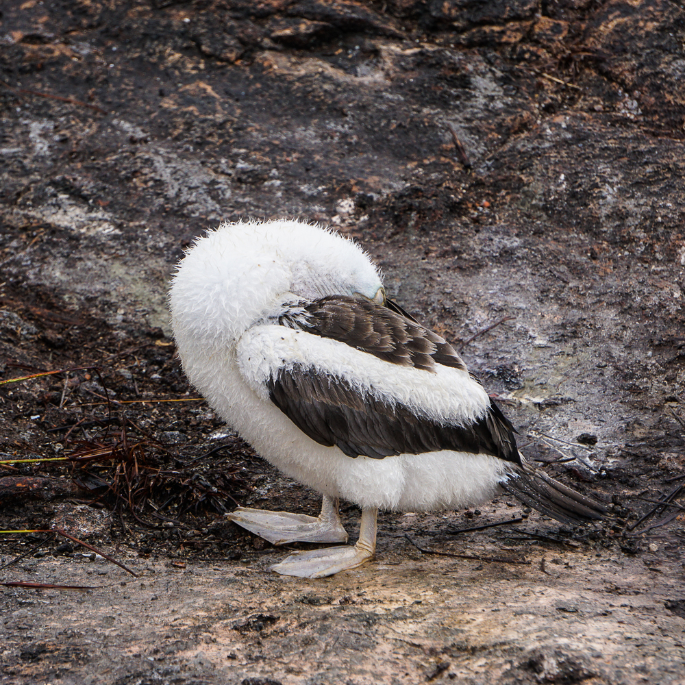
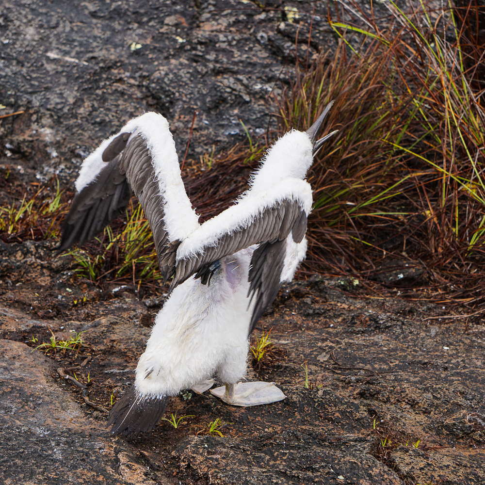
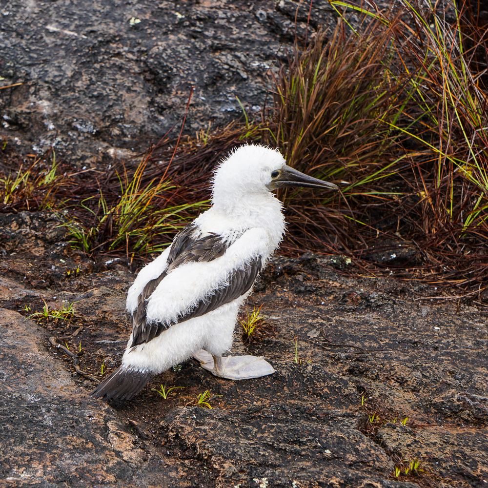
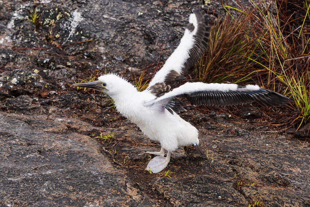
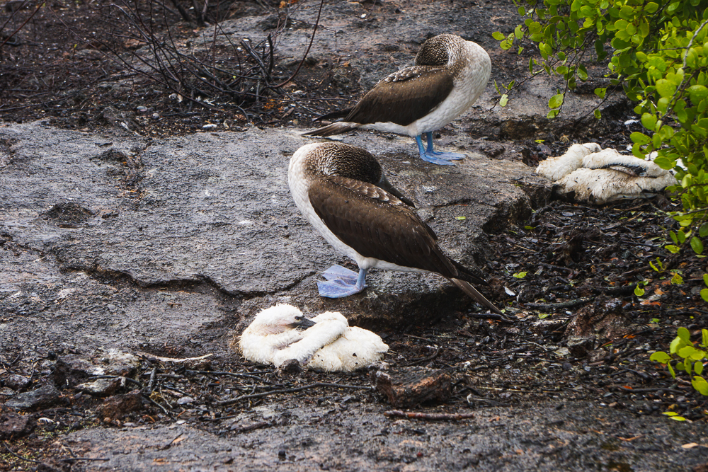
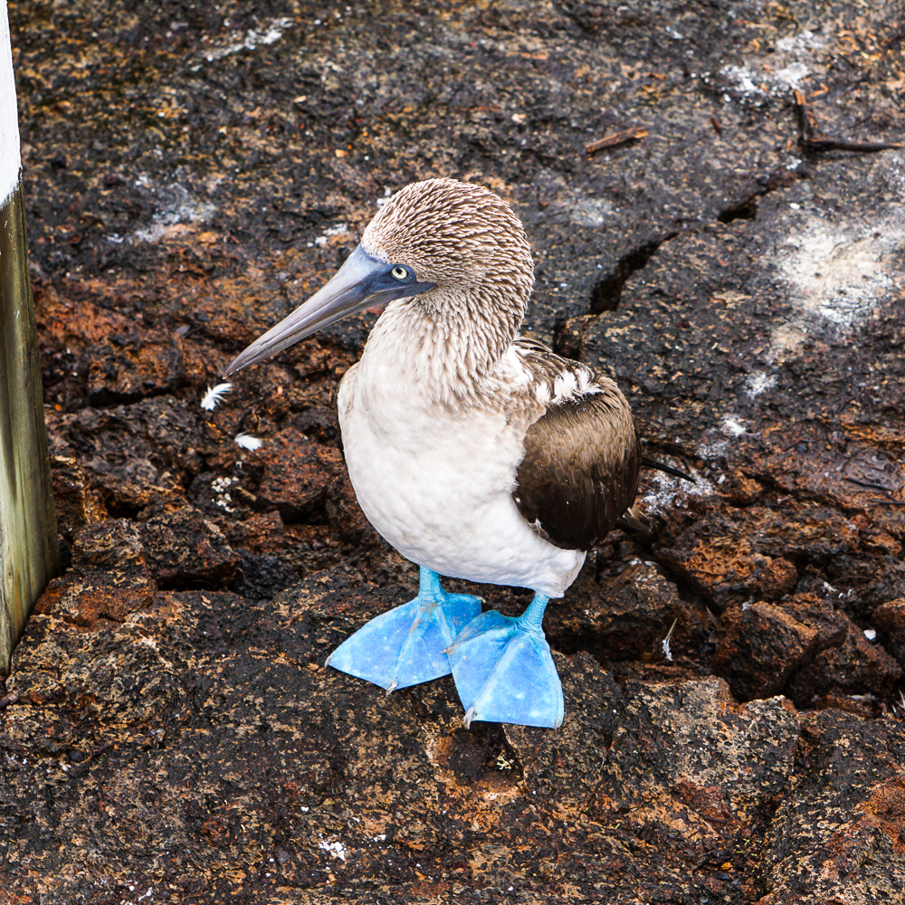
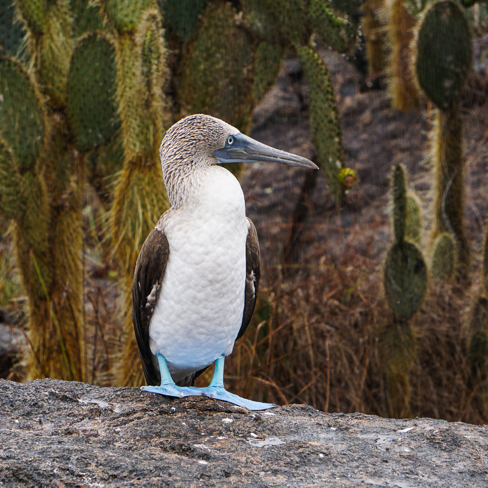
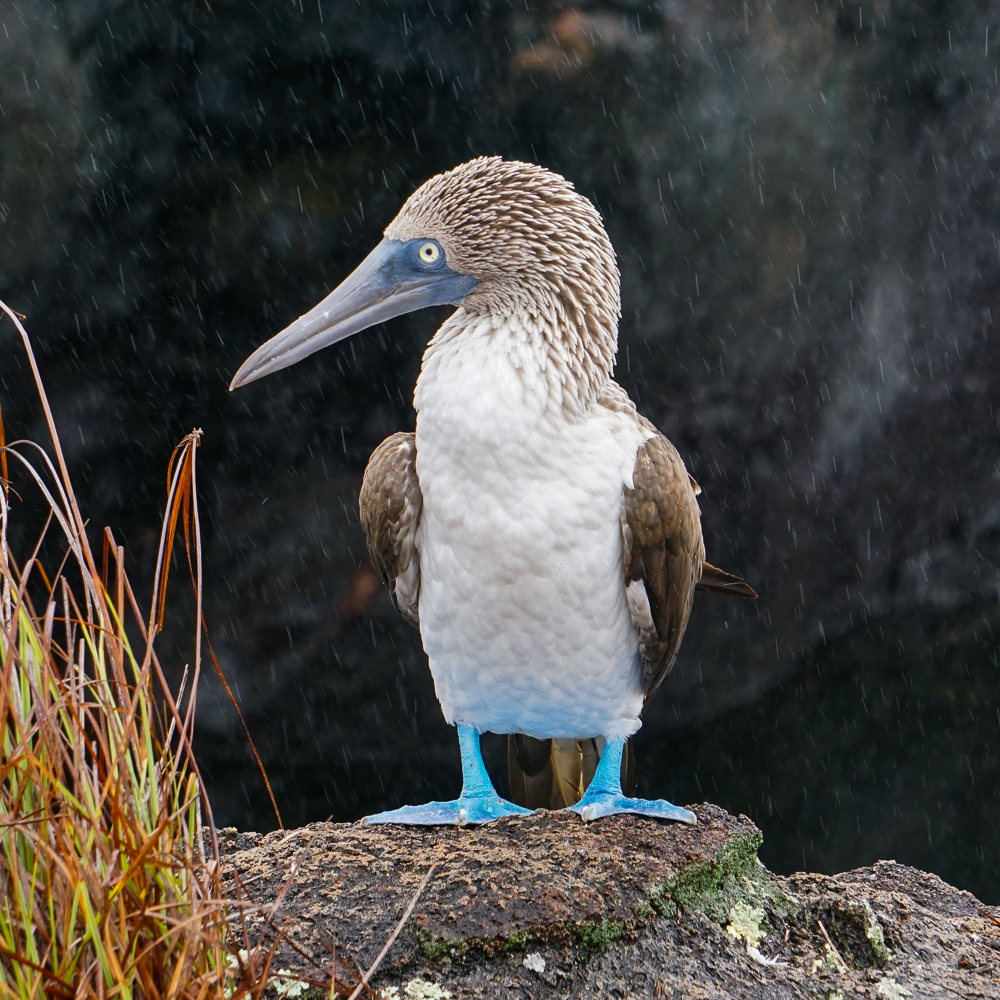
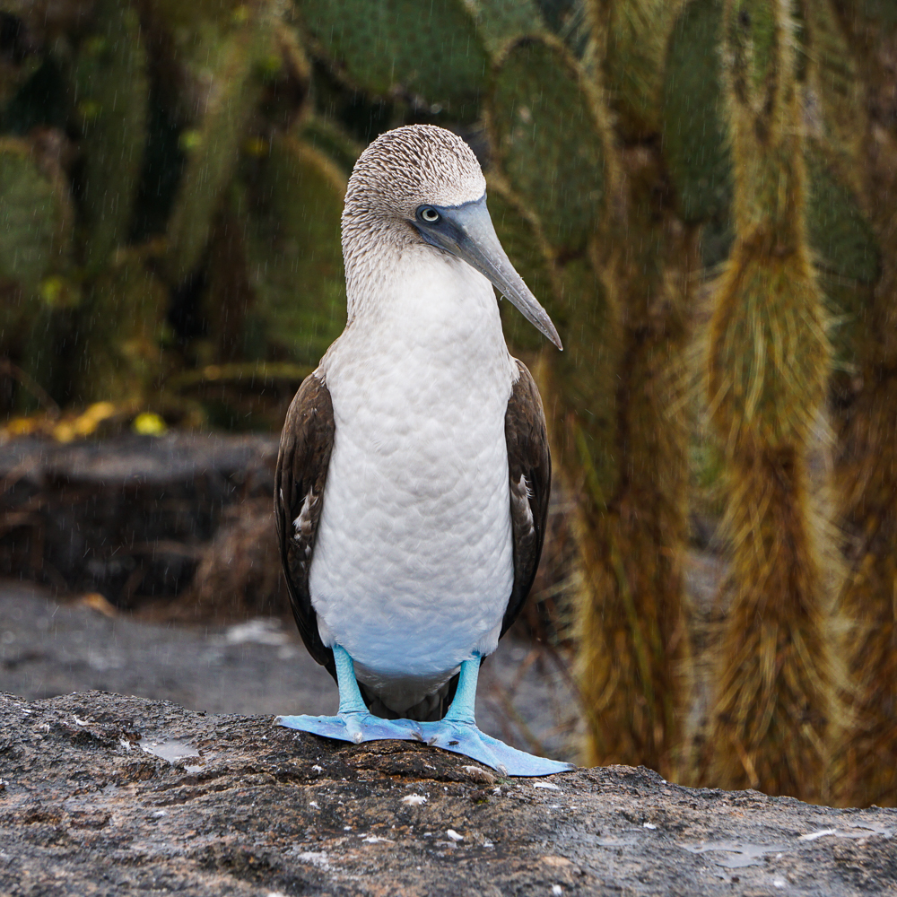
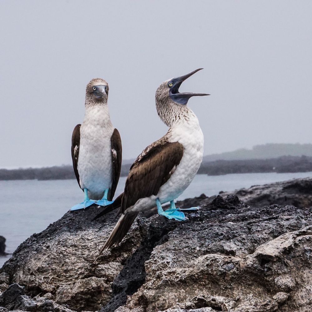
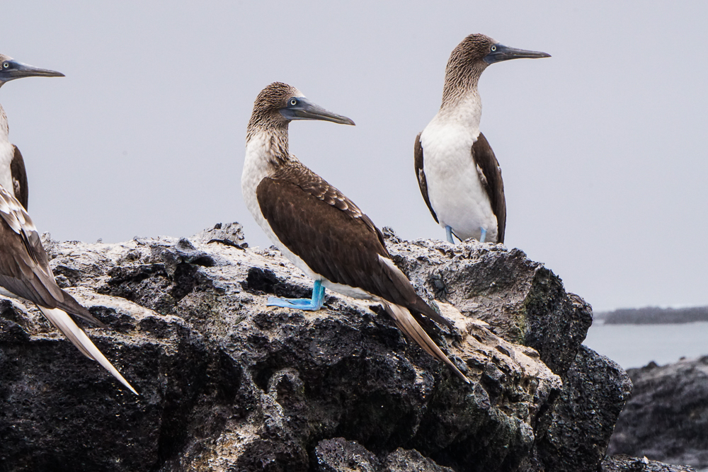
There were also a bunch of blue-footed boobies with some of the brightest feet I’ve seen, plus their chicks. We had seen a few newborn chicks on Espanola Island, and they weren’t especially cute… they looked a bit like dinosaur/alien babies. These ones were a little farther along, though, and they were little fluffballs.
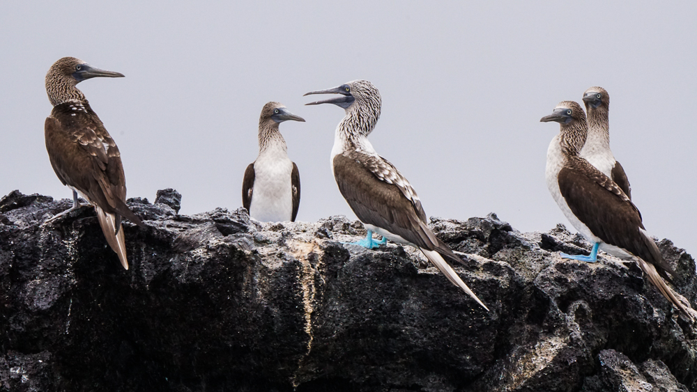
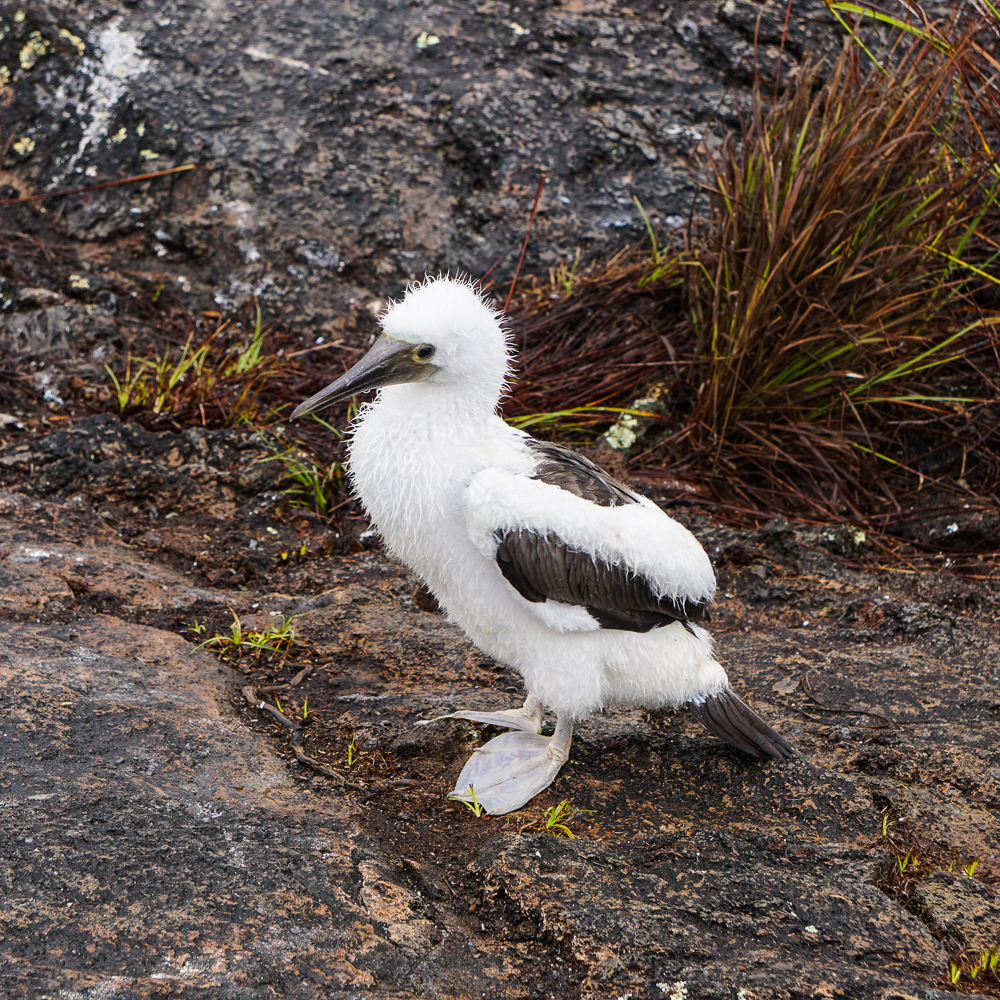
Okay so like… prepare yourself for so many blue-footed booby pics because I tried my hardest to narrow them down, and this IS the narrowed down selection.
Wet fluff
Hiding from the rain
Spreading its awkward wings
Kind of cute
Testing out its wings
They don’t seem to love the rain… Also, those little piles of white fluff (one in front and one in the back) are babies. They… yeah. They don’t look thrilled.
LOOK AT THOSE FEET
So many pics, I just couldn’t choose between them!
They’re pretty cool-looking birds
Also a little mysterious/menacing maybe?

From there, we headed to the snorkel spot. It wasn’t quite as cool as near the tunnels, mostly because the water wasn’t as clear, but there was a LOT of wildlife. In some places, it was very shallow, and the bottom had a lot of loose plant matter on it that people kept kicking up with their fins which made it even more difficult to see (just a PSA if you ever go snorkeling, especially with other people around. Try to keep your feet submerged while you’re kicking so that you don’t create bubbles, and be extra careful not to move the water too much if there’s stuff on the bottom! In general, just try to be aware of your surroundings. Your fellow snorkelers will appreciate it).
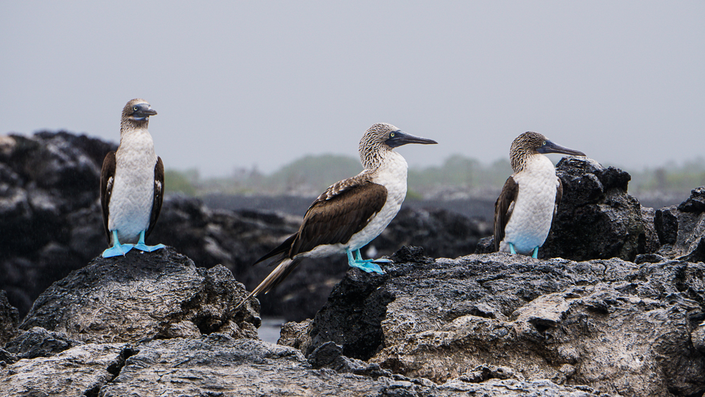
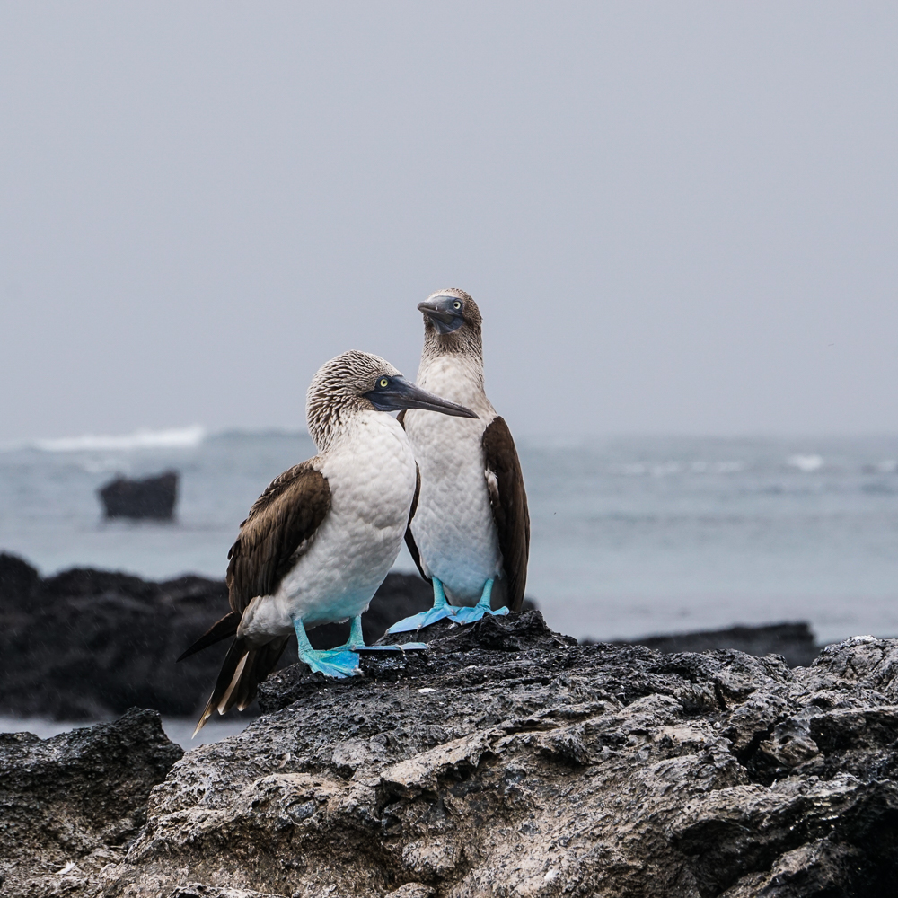
Hehe I actually have a few more blue-footed booby pics, but I thought you could use a break.
Just a few…

Okay, that’s the last one, I promise!

We saw SO many sea turtles, and some of them were absolutely huge… practically land tortoise-sized! There were approximately a billion fish, some in giant schools, that swam so close I could have touched them (but ew, no thanks). The most exciting thing was that we got to see sharks!! I know, who am I? Me, excited to see sharks? Well, I was also terrified, but I lived through my first shark sighting at Las Tintoreras and was ready for another.

The guide pretty much guaranteed that we would see whitetip reef sharks on the tour, named for the white markings on their fin tips (creative, right?) and the fact that they generally stick to shallower areas, usually in water 25-130ft deep (8-40m). They mostly hunt at night, and during the days, they rest in caves, often returning to the same cave day after day. A lot of sharks need to swim to breathe, but not these sharks! Their bodies can actively pump water over their gills, allowing them to rest in place. We popped our heads into a few of their resting caves and saw crazy numbers of sharks lined up across the cave floor like enchiladas. We saw one swimming, and I almost had a heart attack. He was right in front of me! Came out of nowhere and we were probably within touching distance. I backpedaled a bit, he turned, and whew! I survived. Again, though, I surprised myself and was more excited than scared. Nice!
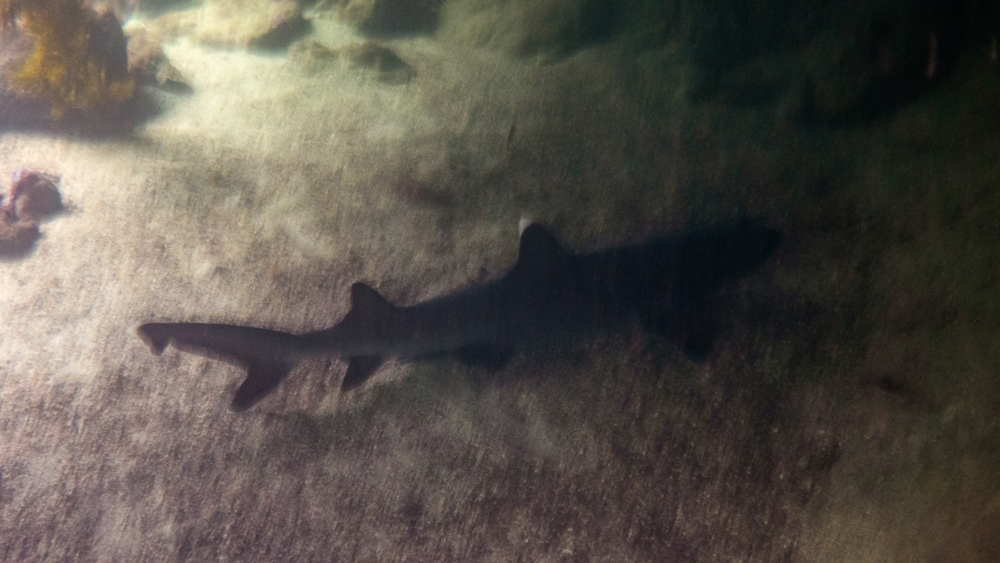
It’s pretty dark in the caves, so photo-taking isn’t the easiest, but my cousin did get this picture of one chilling close to the mouth of the cave. Note the white tip on the top fin.

The last thing we did was swim through a mangrove… grove? Mangrove forest? Through some mangroves? However you’d properly say it, you get what I mean. Mangroves grow in the water and provide a great habitat for all sorts of creatures, especially for those who are a little more vulnerable, like babies. They can hide in the tangled roots of the mangroves, out of the sight and reach of predators.

We had one last exciting sighting for the day… seahorses! The seahorses found in the Galapagos are Pacific seahorses, also known as GIANT seahorses. Get this… they average 4.5-7.5 inches in height (12-20cm). Massive, right? Like other seahorses, the males carry the babies. Females deposit eggs into a pouch, the males fertilize the eggs and seal the pouch, and after 14 days, they go into labor, pushing out little baby seahorses that are around a centimeter or less in height. They can be a variety of colors, including green, brown, maroon, grey, and yellow. We got to see three! They were clinging to the mangrove roots with their tails, and without a guide pointing them out, there’s no chance we would have spotted them. I suppose that’s kind of what they’re going for…
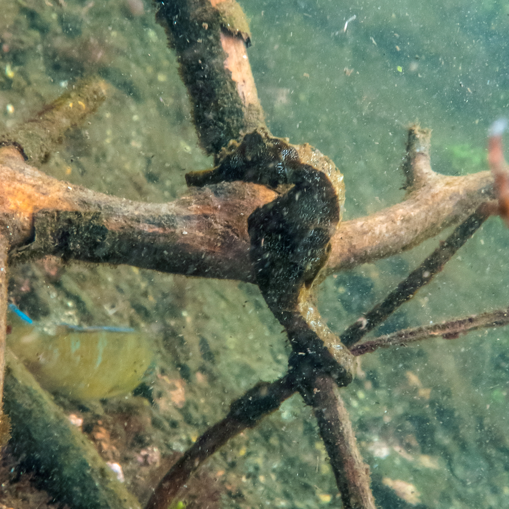
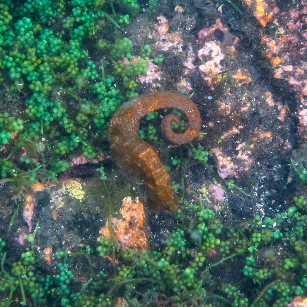
Seahorse photos also thanks to my cousin!
They’re so strange!

After that, we headed back to the boat and rode “home” to Puerto Villamil. To everyone’s delight, we saw more manta rays on the way back! What a great day!
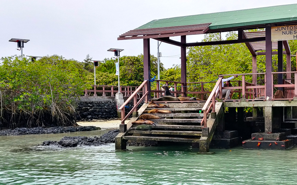
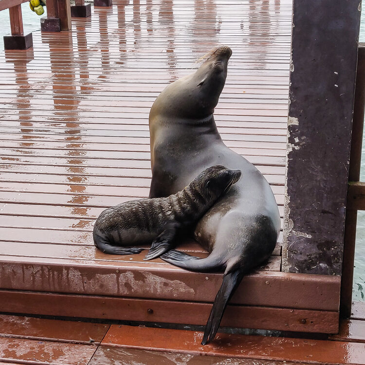
Sea lions welcoming us home.

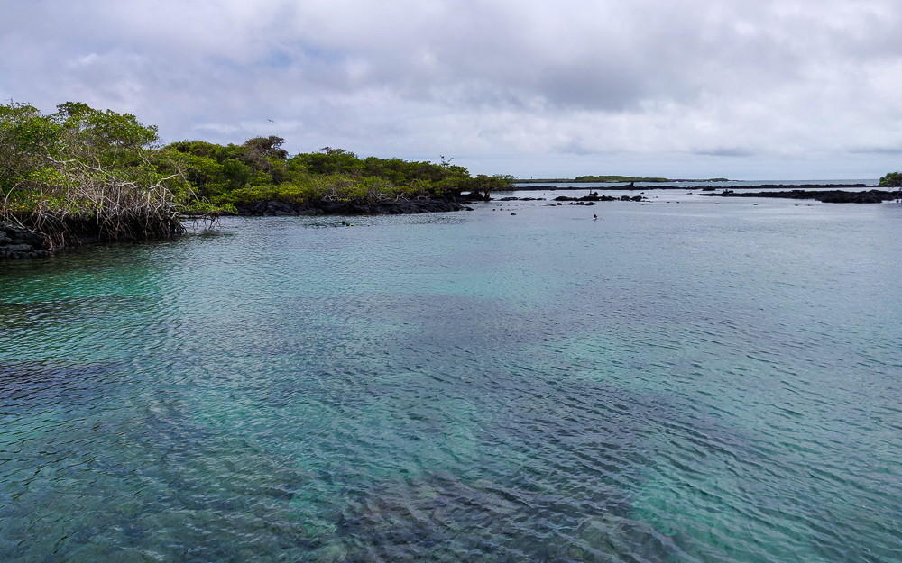
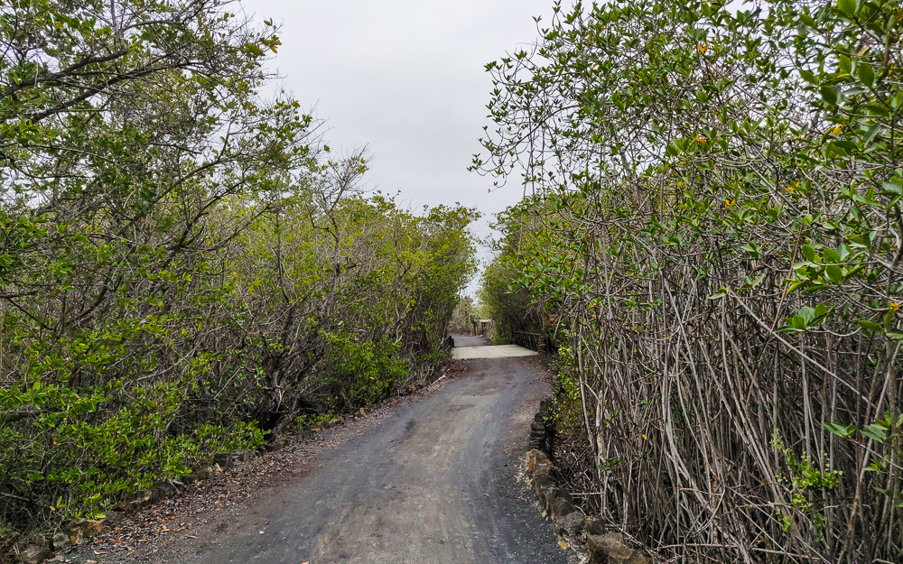
That was our final full day on Isabela. The next afternoon, we took a ferry back to Santa Cruz to catch our flights to the mainland. I was headed to Quito, Ecuador’s capital, and the rest of my family was headed back to the States. We did have time for one more little exploration… near the dock in Puerto Villamil, there’s a snorkeling spot called “Concha de Perla” (Pearl Shell). It’s a sheltered little lagoon where you can swim with sea lions and turtles and rays… it’s supposed to be really great! We didn’t have time to snorkel, but we did enjoy walking there through the mangrove groves (hehe) and admiring the crystal-clear water at the other end. So, if you’re ever on Isabela, I strongly recommend snorkeling there. As for me, I guess I’ll just have to wait until I visit again someday!
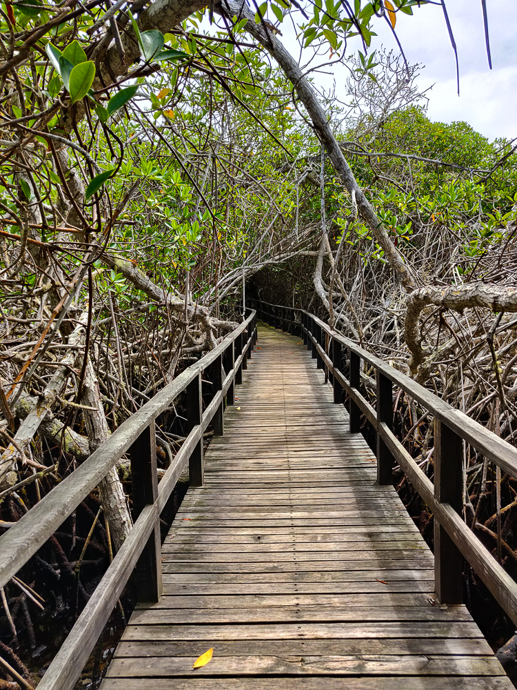
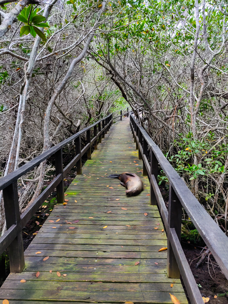
Mangrove grove
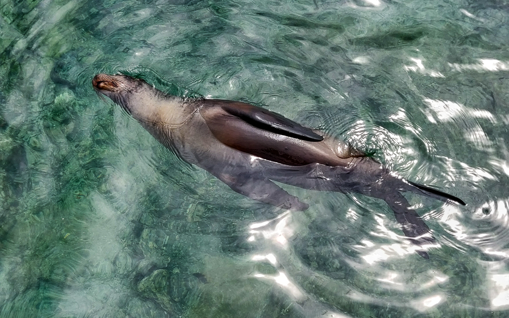
Of course with some sea lions doing their best to be in the way
Concha de Perla
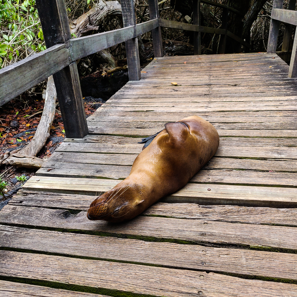
Looking very relaxed
Lil baby!
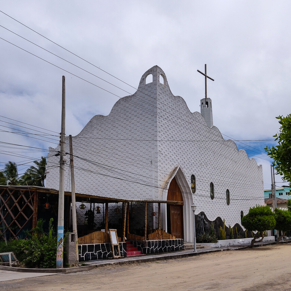
The church in Puerto Villamil… interesting architecture
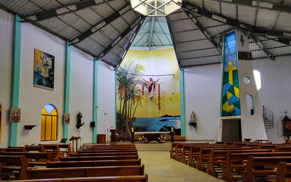
The inside
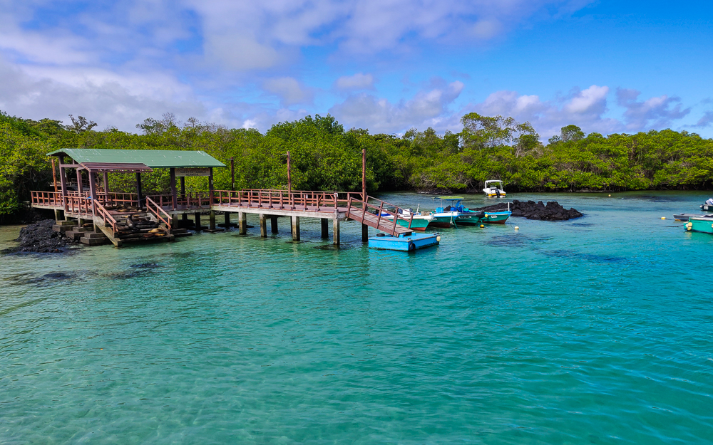
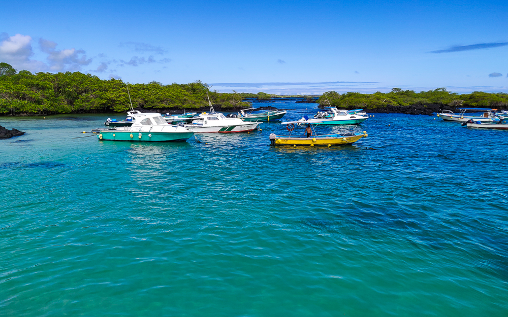
The smaller dock used for excursion departures
Views from the ferry out of town

Related Posts

North Seymour Island – walk around some blue-footed booby nesting grounds.

Las Grietas and Los Gemelos – lava tubes and other cavities beneath the surface contributed to the formations in Los Tuneles. Check out some lava tubes and collapsed magma chambers on Santa Cruz Island!

Las Tintoreras – if you’re a fan of bright blue water, you’ll love Las Tintoreras.

Sierra Negra Volcano – hike to one of the volcanos that formed Isabela Island and admire some amazing lava colors!

Española Island – go back to where our Galapagos journey began and see some baby Nazca boobies!

Most Galapagos day tours have a similar pattern… boat ride, walk around and look at animals, snorkel, boat ride, home. On our second-to-last day, we did something a little different and went on a hiking tour! It was to Sierra Negra (Black Mountain), one of the six shield volcanoes that make up Isabela Island, the largest island in the Galapagos. Five of these volcanoes are still active, Sierra Negra included. Its last eruption was in 2018! The main town, Puerto Villamil, is located just to its south, but thankfully, the lava from that eruption mostly made its way north. There are, however, parts of the hiking trail that are still closed because they were covered by lava. Sierra Negra erupts approximately every 15 years, so keep that in mind when you’re planning your trip! Hehe just kidding. They’re super cautious and monitor the volcano closely, and no one is allowed to visit without a guide. I will say, though, that the previous eruption in 2005 came with no advance warning signs… sooo the only sure bet is to steer clear.

Well, I didn’t know any of that before we went, and maybe that’s for the better. We were picked up bright and early, as usual, and took a bus from Puerto Villamil to the eastern side of the volcano. The tour involved a hike up the rim, a walk along the perimeter, and then an exploration of the lava fields to the northeast of the caldera.

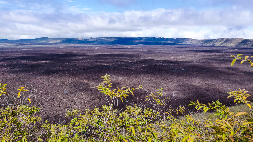
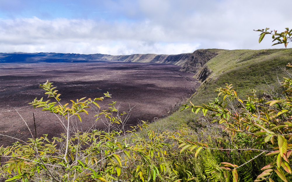
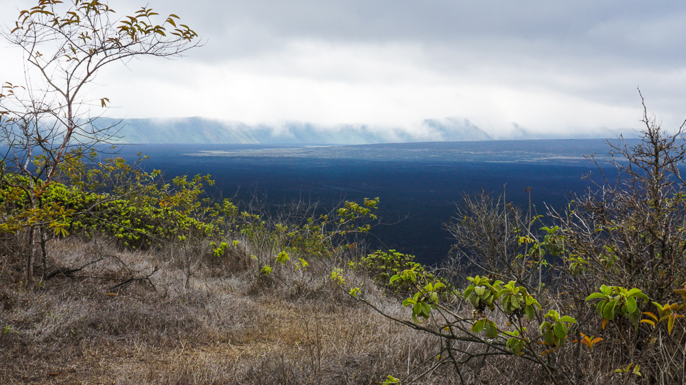
Sierra Negra, besides being one of the most active Galapagos volcanoes, has the largest caldera. It’s oval-shaped, and its long axis is almost 6 miles (9.3km) across! Interestingly, it’s also very shallow, only about 330ft (100m) deep, making it the shallowest one on Isabela.

The beginning of the hike was a gradual but constant uphill as we made our way up the side of the volcano to the rim. Remember, shield volcanoes are short and wide and are formed by long-duration eruption events where very flowy lava is supplied continuously. Explosive eruptions, in contrast, are shorter-lived and result in taller and steeper volcanoes. The shallower slope was fine with me! No need to rock climb our way to the rim. Even so, it reaches an altitude of nearly 4,500 feet (1,120m), so don’t be imagining some little hill!

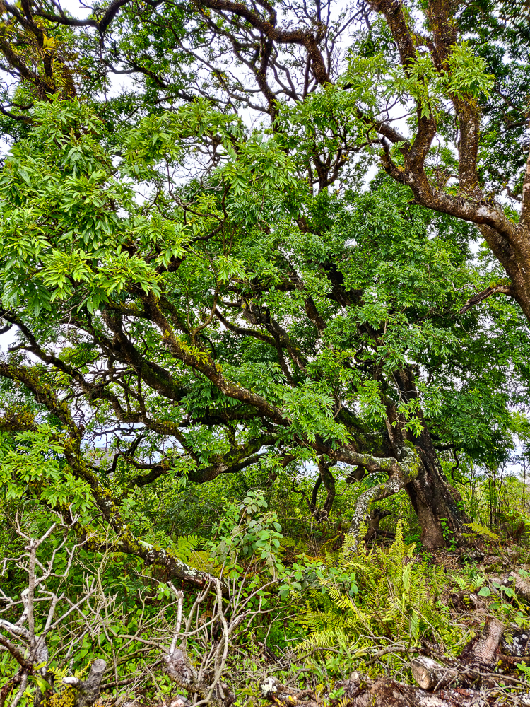
There was a decent amount of vegetation along the way, but as we moved farther up, it began to thin. Sierra Negra is the greenest on its southern slope, the windward side, because it gets more moisture thanks to the wind. That’s also where the Sierra Negra wild tortoises are mostly found. At the start of the hike, there were green, leafy plants and trees lining the path. By the time we reached the rim, there wasn’t much vegetation taller than I am, and the wildlife sightings were limited to a few little birds.

The blue pin is on Sierra Negra.
One of the only critters we saw during the hike
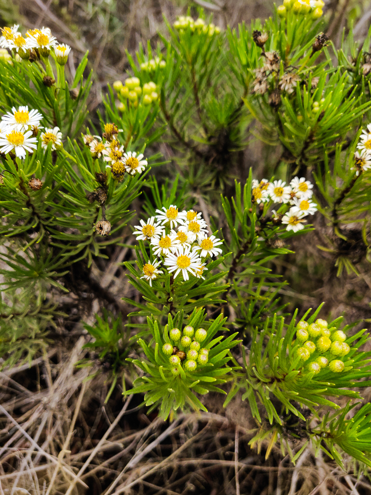
Flowers!
There were some big trees along the way

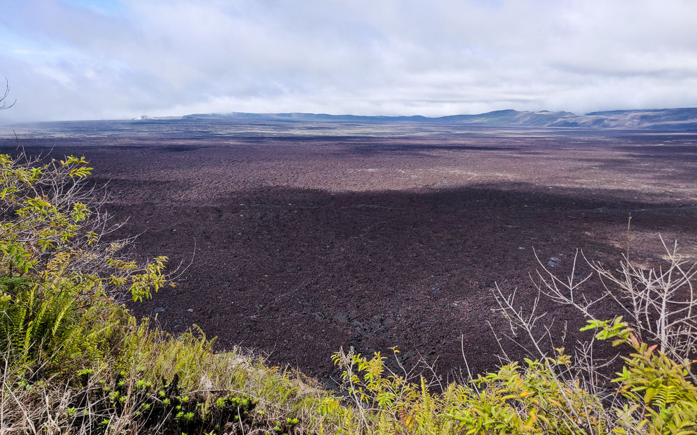
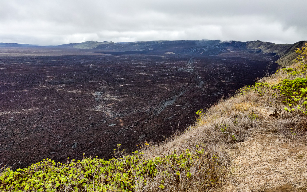
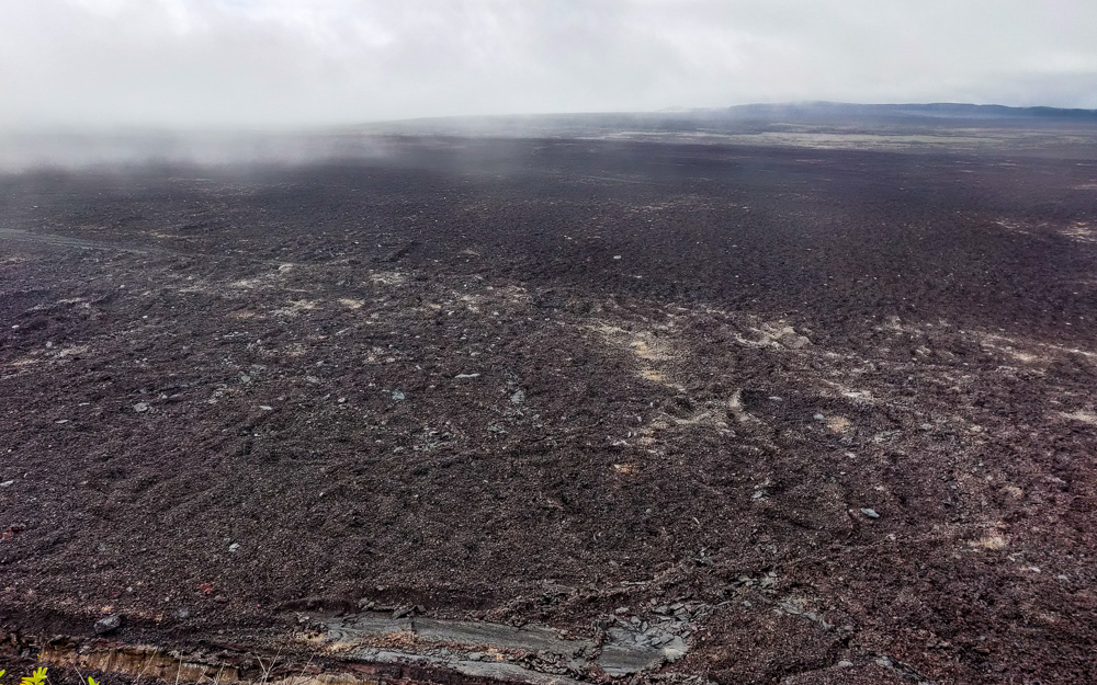
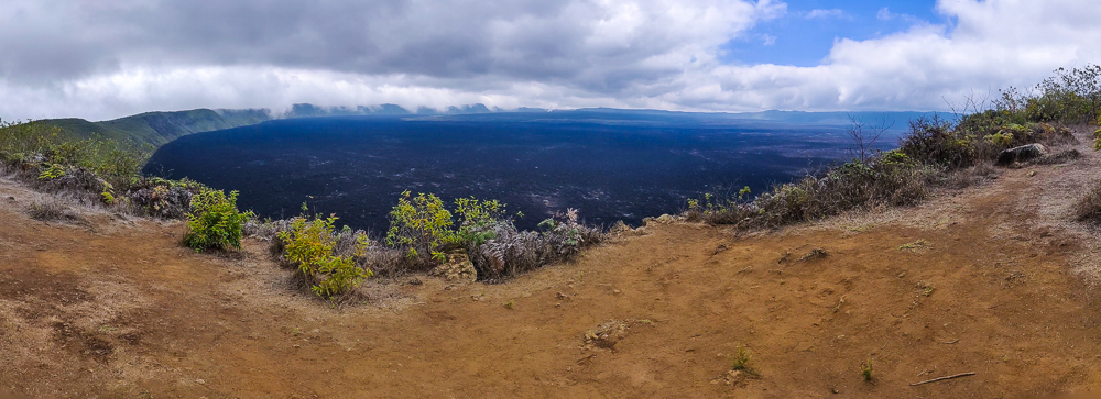
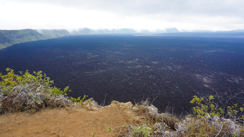
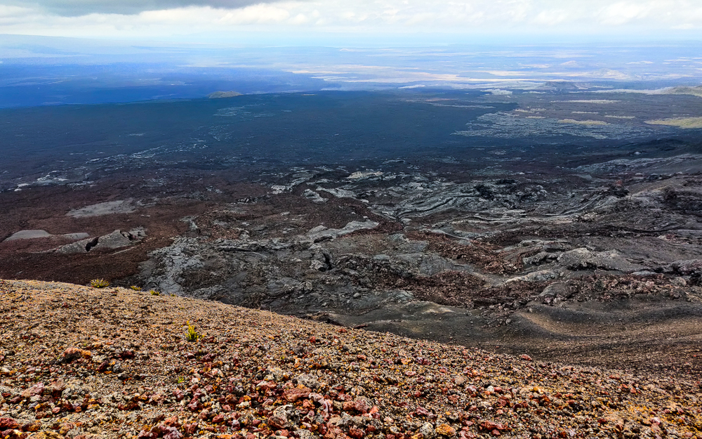
Our first view of the caldera was a bit jarring. We were lucky that it wasn’t too cloudy, giving us decent visibility to the other side… which was VERY far away. I mean, I know that I told you how big it is, but to stand there and see miles and miles of black lava rocks… it’s a strange sight.

Isn’t it amazing? The dark spots are cloud shadows
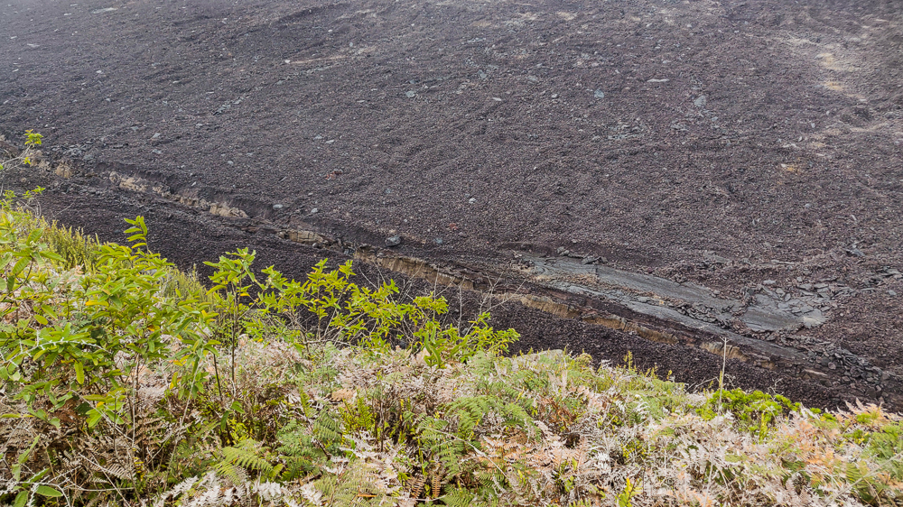
Shallow cliffs
The other side is so. far. away.
New lava from 2018

The guide told us that the lava patterns on the floor of the caldera tell the story of how it was formed. I’m not fluent in lava (and honestly, I had trouble paying attention to the guide), so I can’t tell you what they say, but it is interesting to see how much variation exists in something that, at first glance, appears somewhat uniform.

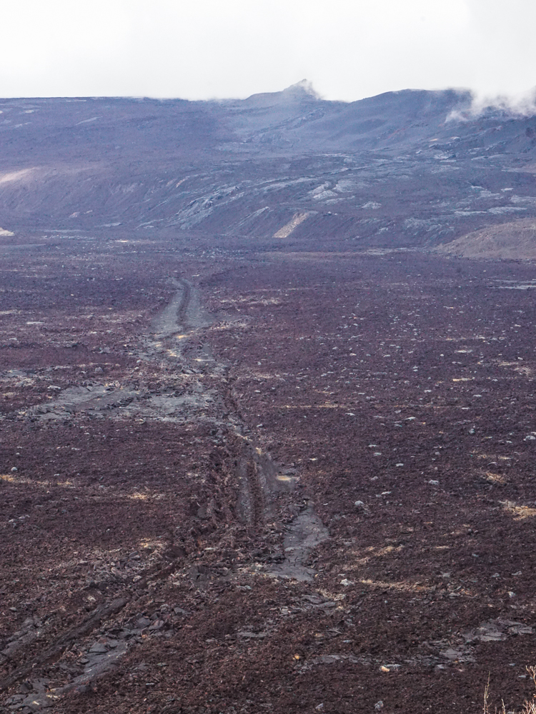
Some better views of the lava variations on the caldera floor
If I told you this was another planet, would you doubt me for a second?
There are a bunch of big cracks along the perimeter, like this one
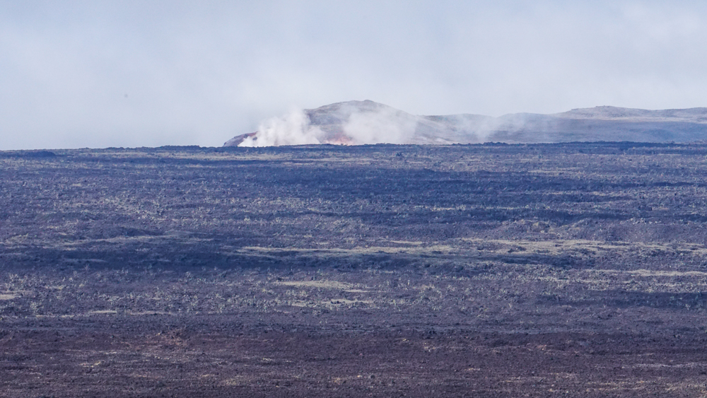
Still some steam action going on
That’s quite a crack

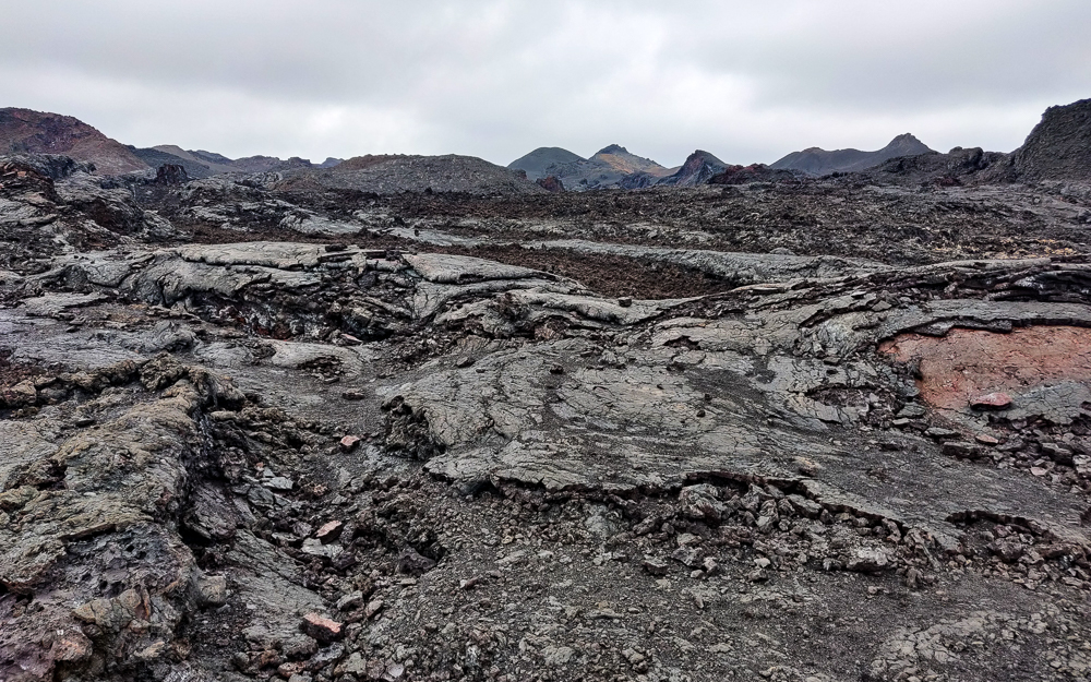
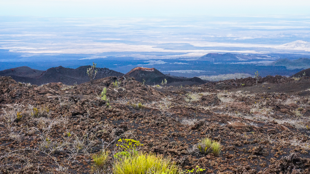
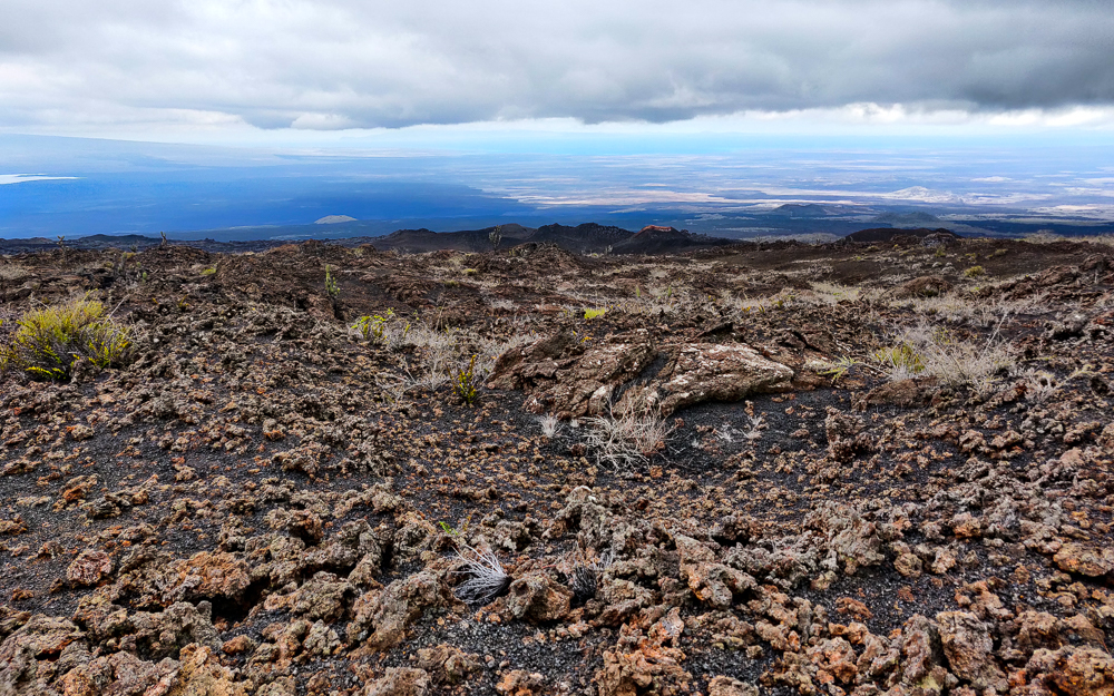
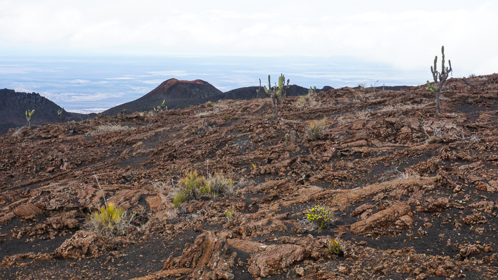
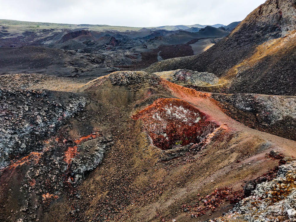
The caldera was cool, but without a doubt, the best part of the excursion was the lava fields. To the northeast of the main caldera, there’s a “parasitic cone” called Volcán Chico (Little Volcano). I’m not a big fan of that name… it sounds kind of gross. Alternatively called a “satellite cone”, it’s a location where lava escapes from fractures in the side of the volcano, outside of the main caldera, forming cone-shaped lava accumulations. The final leg of the hike took us through the lava fields to the cone of Volcán Chico.

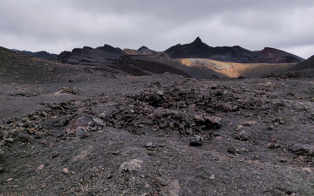
The lava fields are… thought provoking? That’s probably an uncommon assessment, but for me, they prompted a whole series of “THAT’S CRAZY!” thoughts. For example, Isabela is one of the youngest Galapagos islands. As I walked across the barren expanse of lava, I kept thinking about the fact that at some point, all of the islands looked like that. Seeing that made it even more amazing that plants and animals managed to survive and eventually thrive there. Like… there was NOTHING at the beginning. Now, some of the islands even have rainforests!

Lava fields
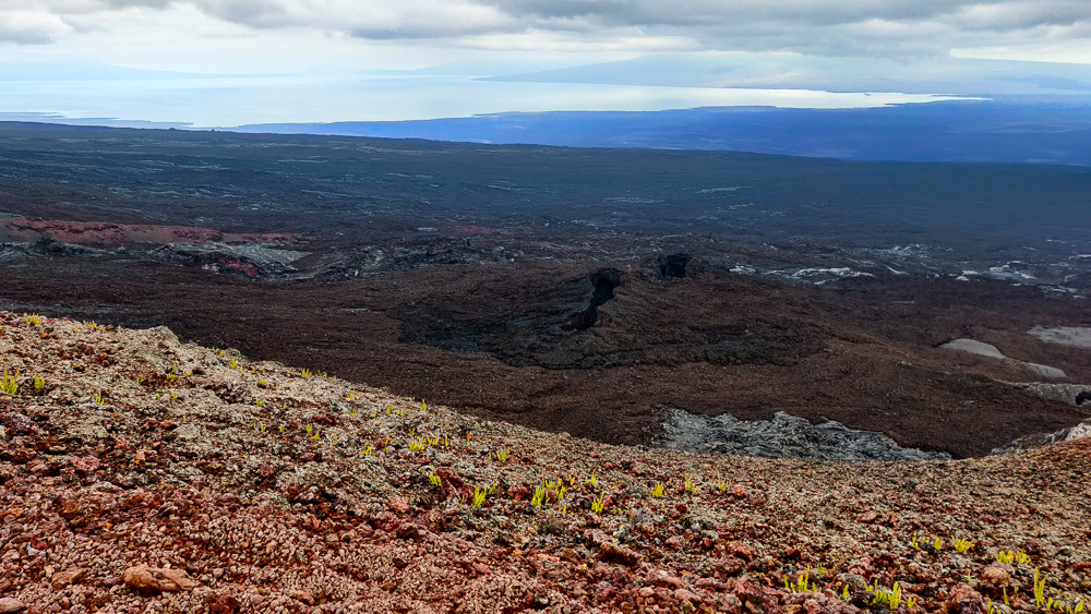
There is a little bit of life trying to pop up
What the heck is this place?
Another parasite cone

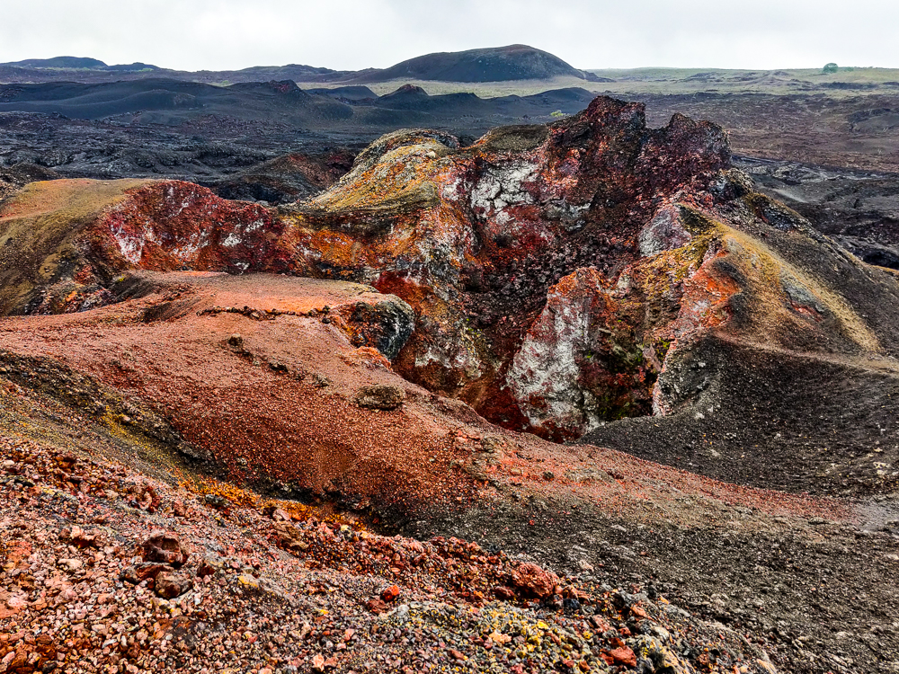
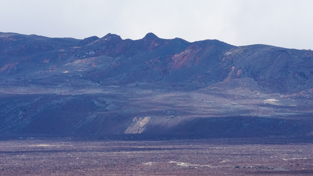
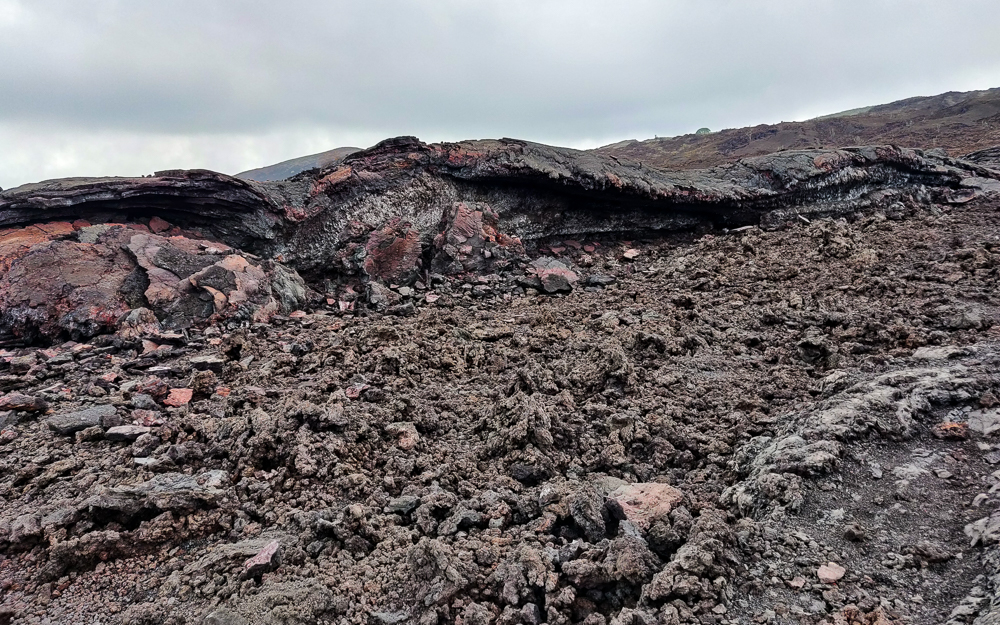
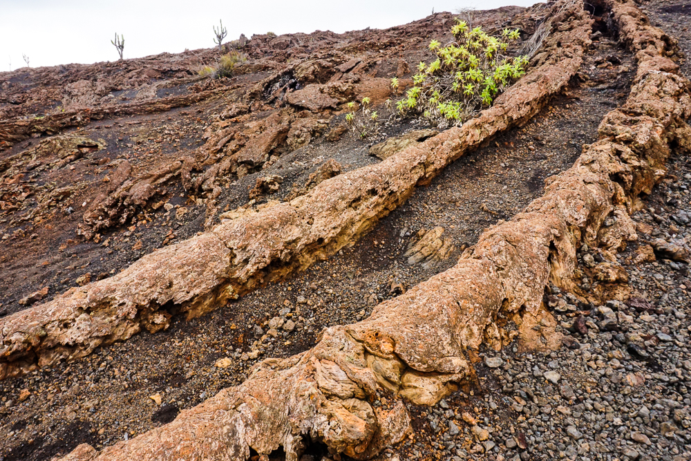
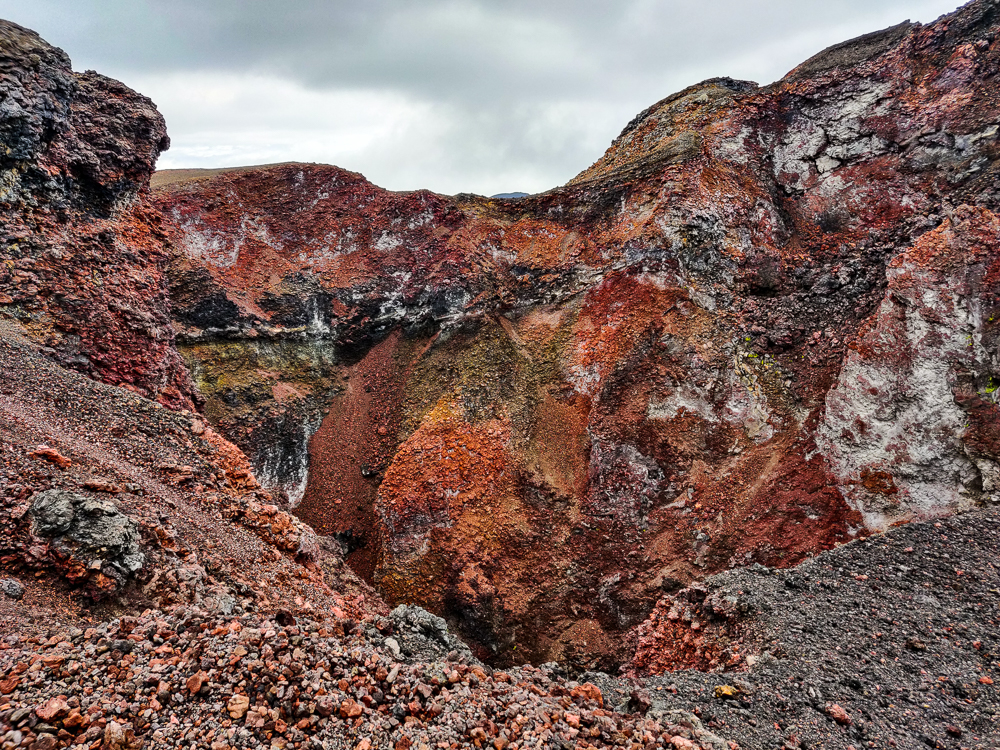
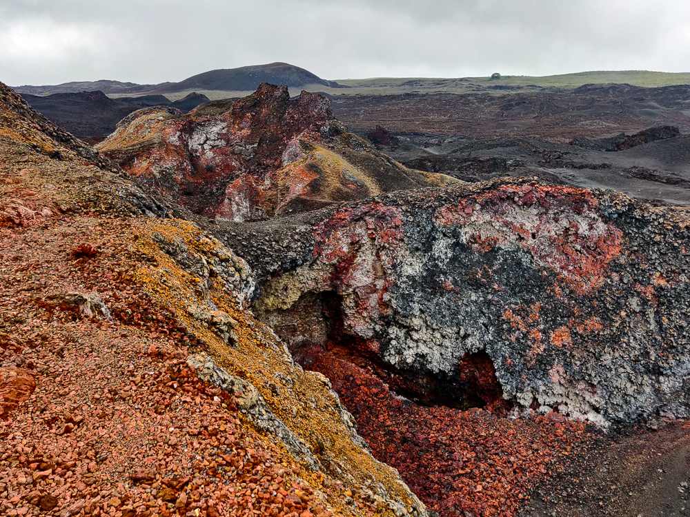
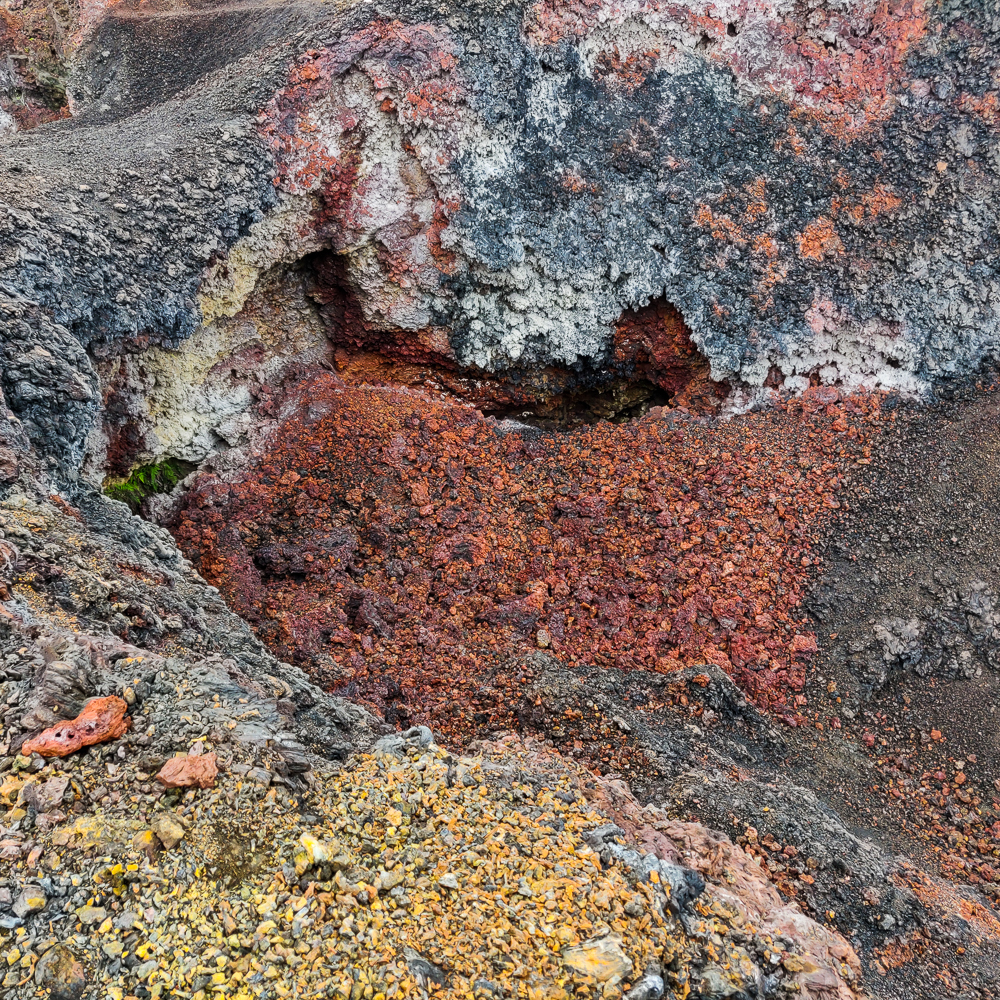
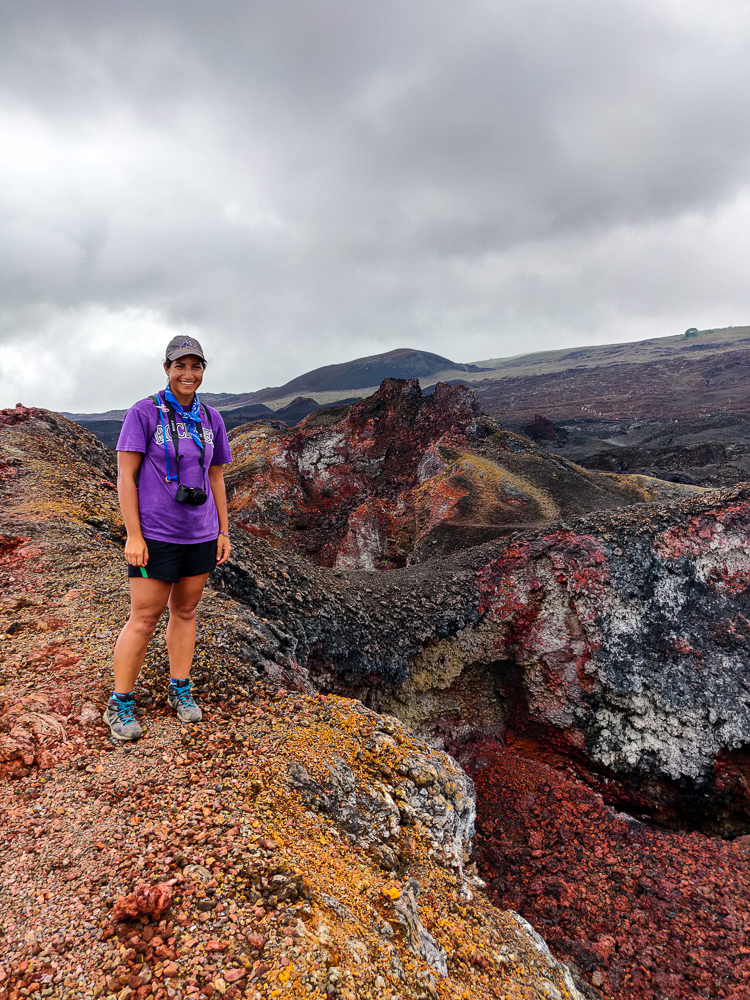
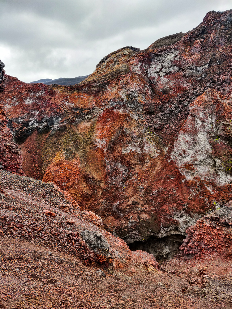
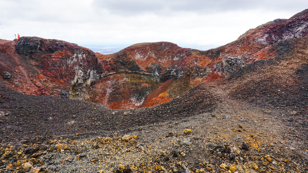
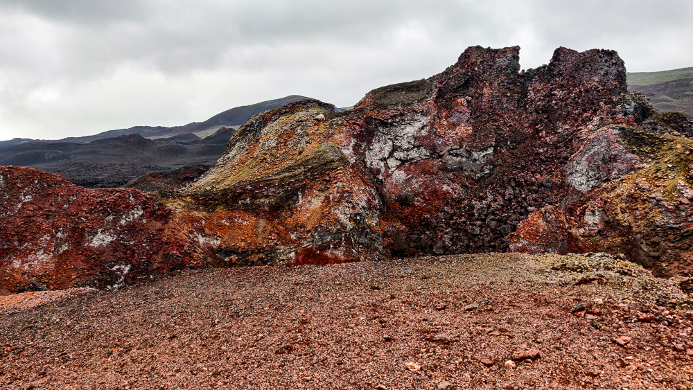
The guide pointed out various formations along the way and explained that the different colors of lava result from the oxidation of various minerals. By looking at the coloring, scientists can determine what lava came from which eruption. The least colorful stuff is usually more recent because it hasn’t had as much time to oxidize. I’ve seen a lot of lava in my life, but I can’t remember ever seeing so much color and vibrance. It was beyond amazing. And beautiful!!

The colors!
Eeee!!! So pretty!

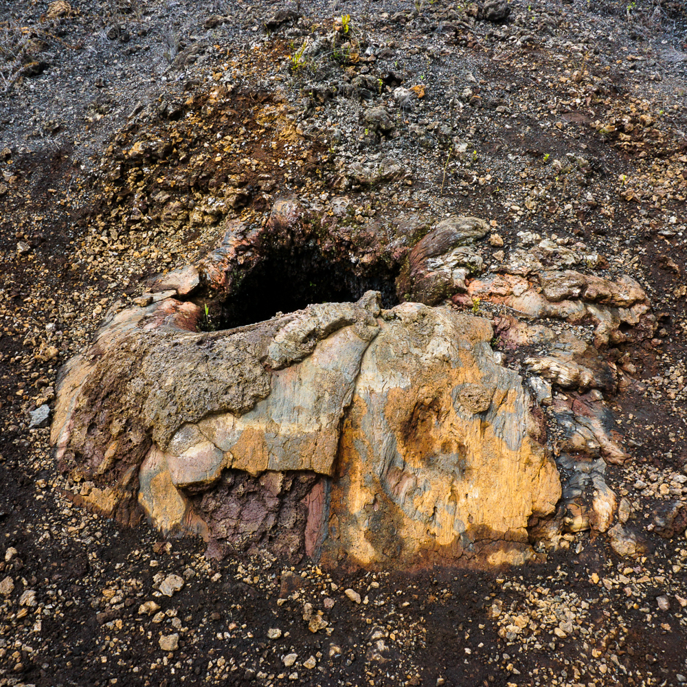
There are also natural vents across the landscape, places where you can hold your hand above a hole in the ground and feel heat coming out. It’s a little spooky to think that you’re feeling the heat of the Earth’s core. Eek! Also creepy is when you see a formation that looks like it could be water, frozen in time. It’s a bit of a reality check, like, “Hey! In case you forgot, this used to be FLOWING. Oh yeah, and it wasn’t water. It was MOLTEN LAVA.” Nope. No, thank you. You can keep that molten lava faaaaar away from me.

Natural vent
Another natural vent. Watch your step!
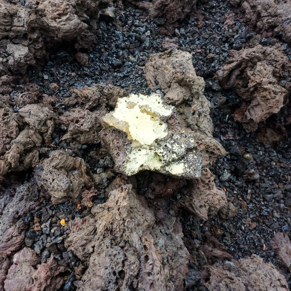
Okay so like I said, I didn’t do a great job of listening to the guide, but he was really amped about this material on the lava… I THINK it’s sulfur, but don’t quote me.
This looks like a wave in the ocean. Okay, now imagine it’s molten lava.
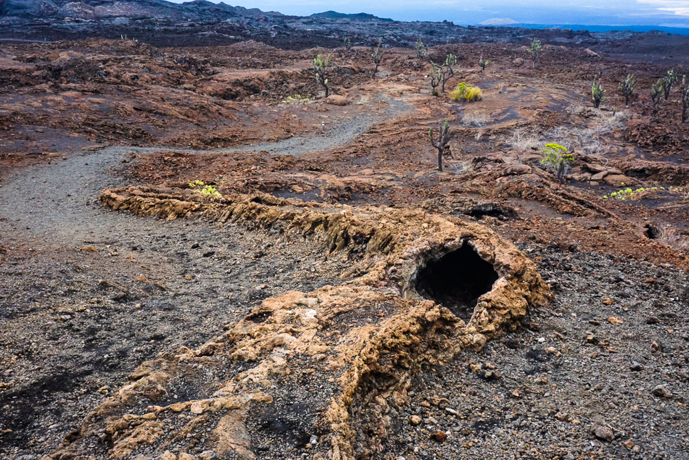
A partially-collapsed lava tube in the lava fields.
The other end of the lava tube.

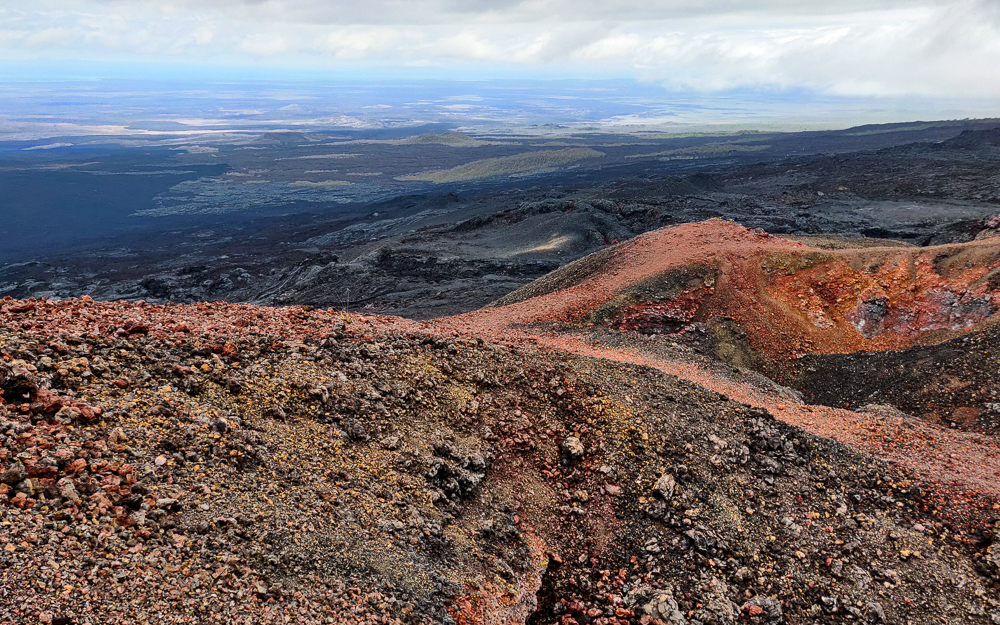
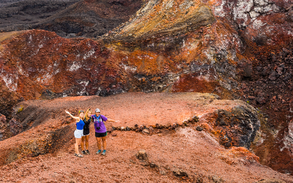
Finally, we reached Volcán Chico. The view is bizarre. You can see the northern part of the island, and it doesn’t look like it belongs on this planet. Elizabeth Bay is in the distance. The best part, though, is the COLORS around the cone. I’m not even going to attempt to explain it. Just soak in the amazingness of these pictures.

Sorry in advance for the million pictures that are nearly identical… except that I’m not sorry because they’re awesome and you have no idea how many I filtered out to end up with these million that I want to show you.
My head exploded
Contrast!
Lava rock confetti
Have you ever seen anything like this??
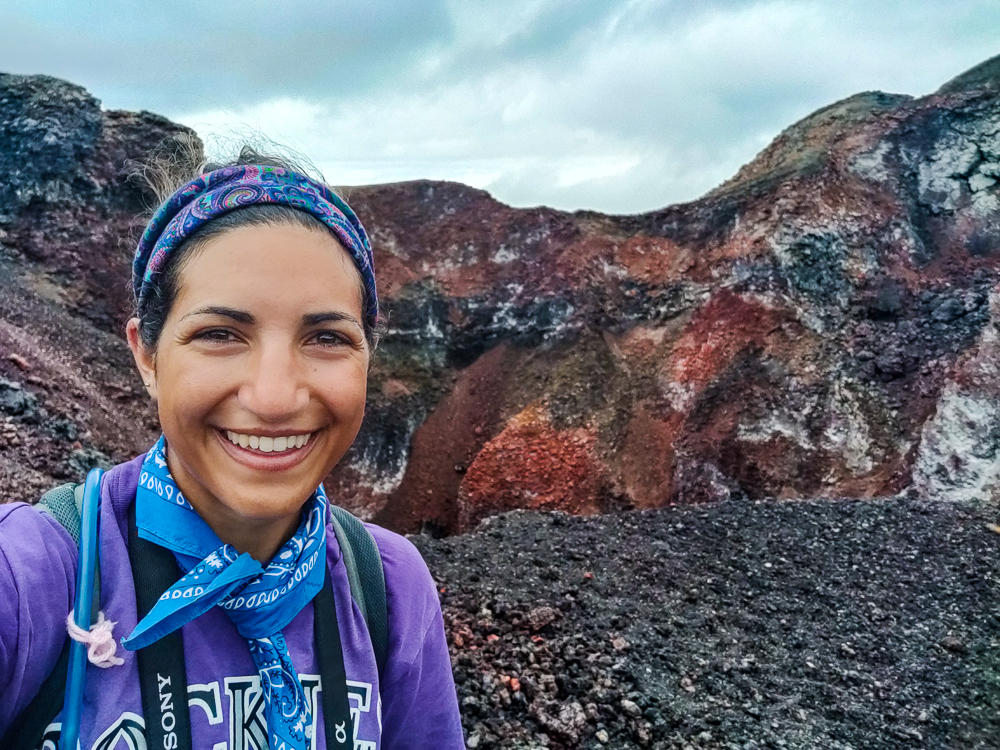
I look pretty happy in this picture, but I promise you that this doesn’t even begin to do my excitement level justice.
Happy happy happy
I just love it.
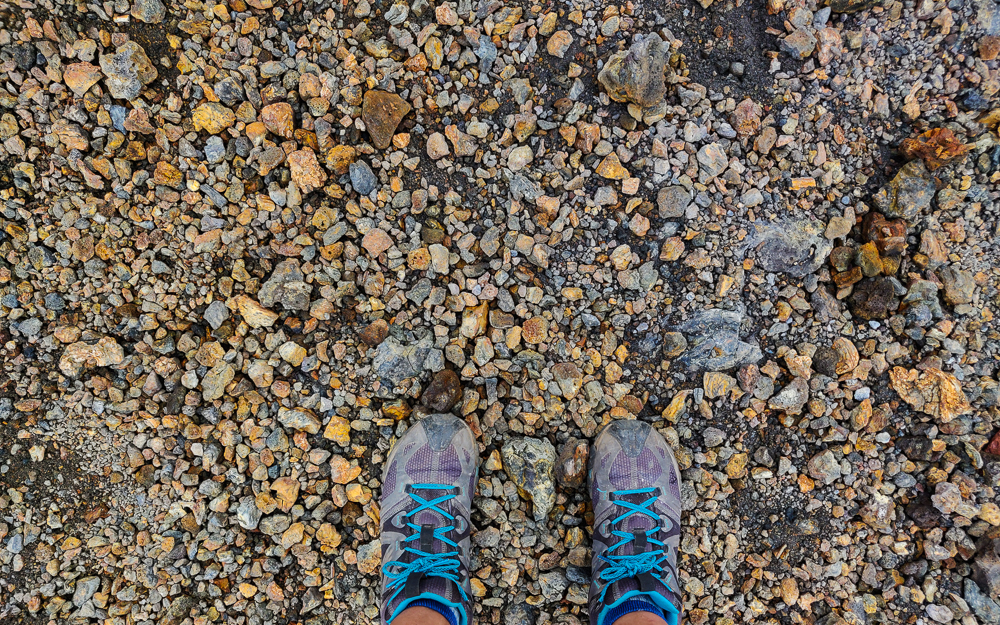
Then there’s this… black, black, black, GOLD!
It’s like a treasure trove of the world’s prettiest lava rocks
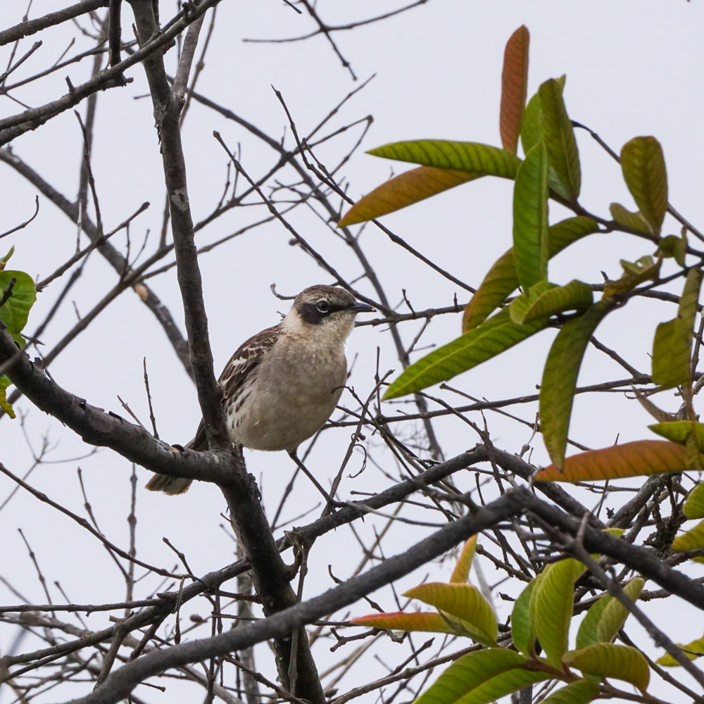
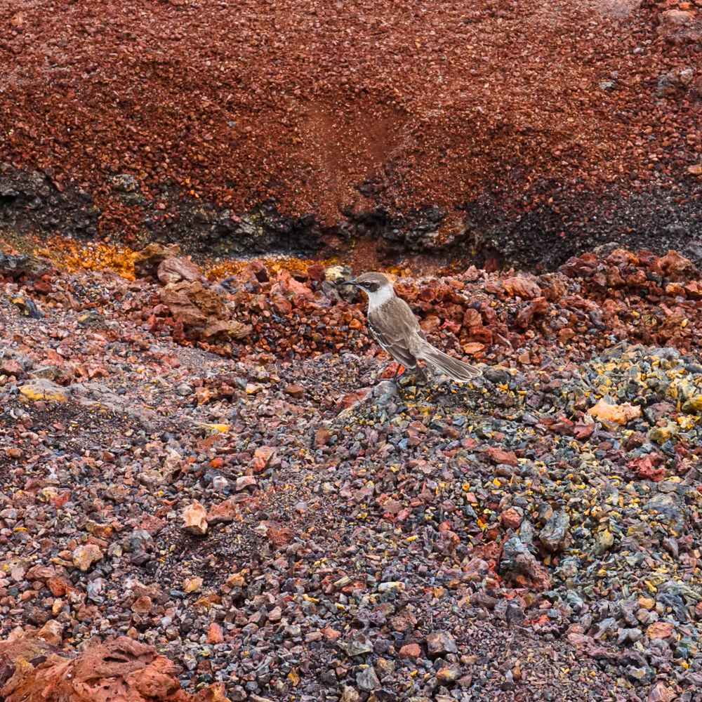
Mockingbird!
View from Volcán Chico
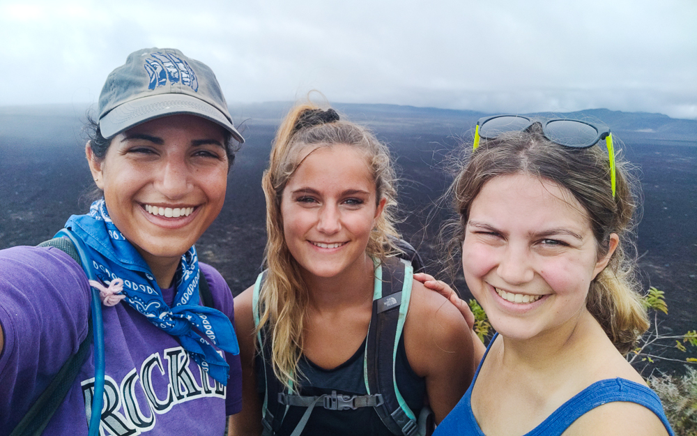
Cousins!
See the bay in the distance?

I’ll never get tired of these pictures.
Okay, last one.

The guides started herding us back to the bus before I was ready to go. It was like looking at really pretty fall foliage, where you wish that you could capture what you’re seeing and what you’re feeling and bottle it up forever, but since you know that you can’t, you want to stay as long as possible to try to imprint it in your brain and heart. You know? Orrr maybe that’s just me. But I guess I did an okay job because even now, I get that same feeling when I close my eyes and imagine that I’m back there, gazing out at the otherworldly landscape.

The hike back was mostly uneventful, but we did get to experience the massive difference in weather conditions between the lava fields and the volcano rim. In the lava fields, the weather was hot and bone dry. As we walked along the rim, it got wetter and wetter, and by the end, we were basically walking through a cloud. And I’m sure that at that same moment, the lava fields were just as hot and dry as when we left them. It’s all about the wind/topography/it makes my head spin!

Much foggier view than on the way up!
A nice panoramic photo that absolutely does not do the caldera justice. But I had to try.
Now it really looks like another planet

We were exhausted when we got back to town, but since it was New Year’s Eve, we went to sleep early and set our alarms for 11:30PM so that we could check out the happenings in the main square. I was only about 20% sure that we would actually wake up, but amazingly, we all dragged ourselves out of bed and joined the festivities!

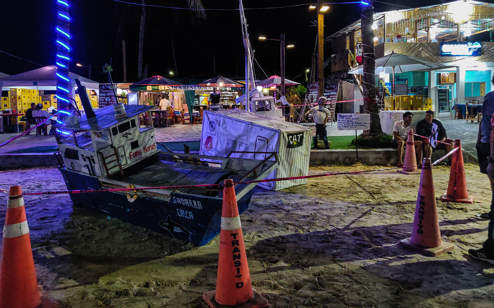
Ecuador has some funky New Year’s traditions. People make effigies, either of actual people or characters or something that represents the previous year, and at midnight, they’re set on fire as a sort of cleansing ritual before the new year. You know, on our early morning bus ride to the volcano, I thought that I saw a roadside stand filled with paper mâché heads, but it seemed too weird to be true. I assumed that I was out of my mind because it was so early. Nope! Most families make an effigy, and they need to get their heads somewhere!

There were some bigger scenes prepared to be burned at midnight as well… this depicts an incident that occurred at the end of 2019 when a crane unloading a generator from a boat collapsed, spilling hundreds of gallons of oil into the ocean. Obviously, oil spills are never good, and in a place like the Galapagos, they have the potential to be extra bad. I think they contained it really quickly and minimized the damage, but still. Not good.

Here’s a video of the post-midnight mayhem, and you can see different people coming up to toss their effigies on the fire.

After that, we tried to go back to sleep, but our hotel’s great location near the center of town meant that we could hear the New Year’s party going on into the not-so-wee hours of the morning. I think I fell back asleep when it stopped at around 5AM. Ugh.

Related Posts

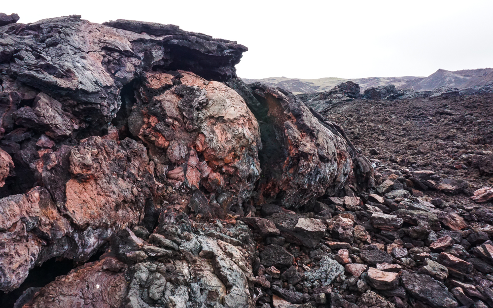
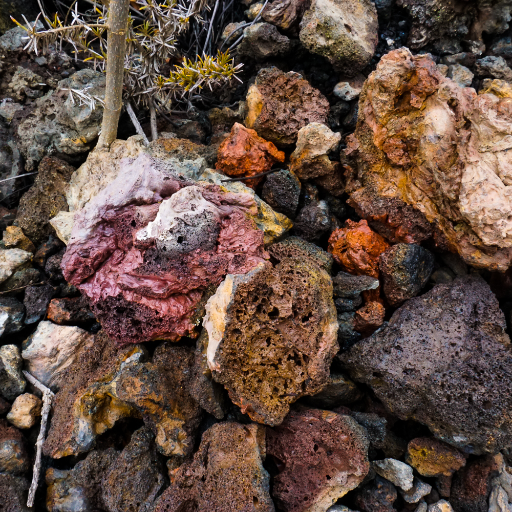
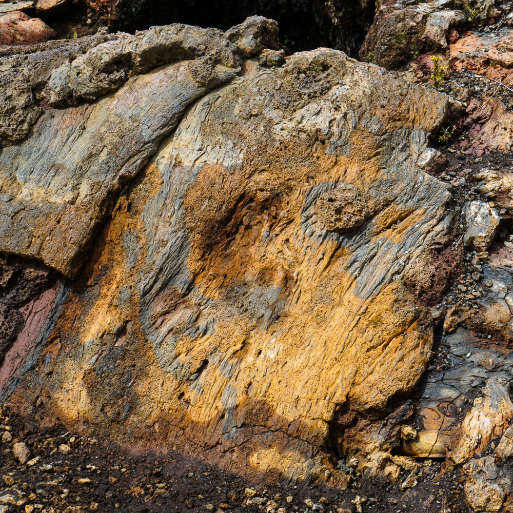
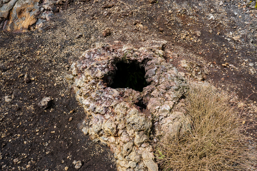
Iceland Lava Rocks – okay, not the official name of the post, but if you want to see more cool lava colors, check it out!

Perito Moreno Glacier – for a completely different otherworldly landscape, do some glacier trekking!

Mount Aragats – speaking of volcanoes, why not visit Mount Aragats, the volcanic crater that gives Armenia its tallest peak?

After our morning tour to Las Tintoreras, we still had half of the day free for more activities! My aunt and I went into town after a brief stop at our hotel and started asking around about renting bikes. There’s a 3 mile-long (5km) gravel path to the west of Puerto Villamil (the main town on the island) that winds past different points of interest, and we wanted to make a plan to explore it later in our stay on Isabela.

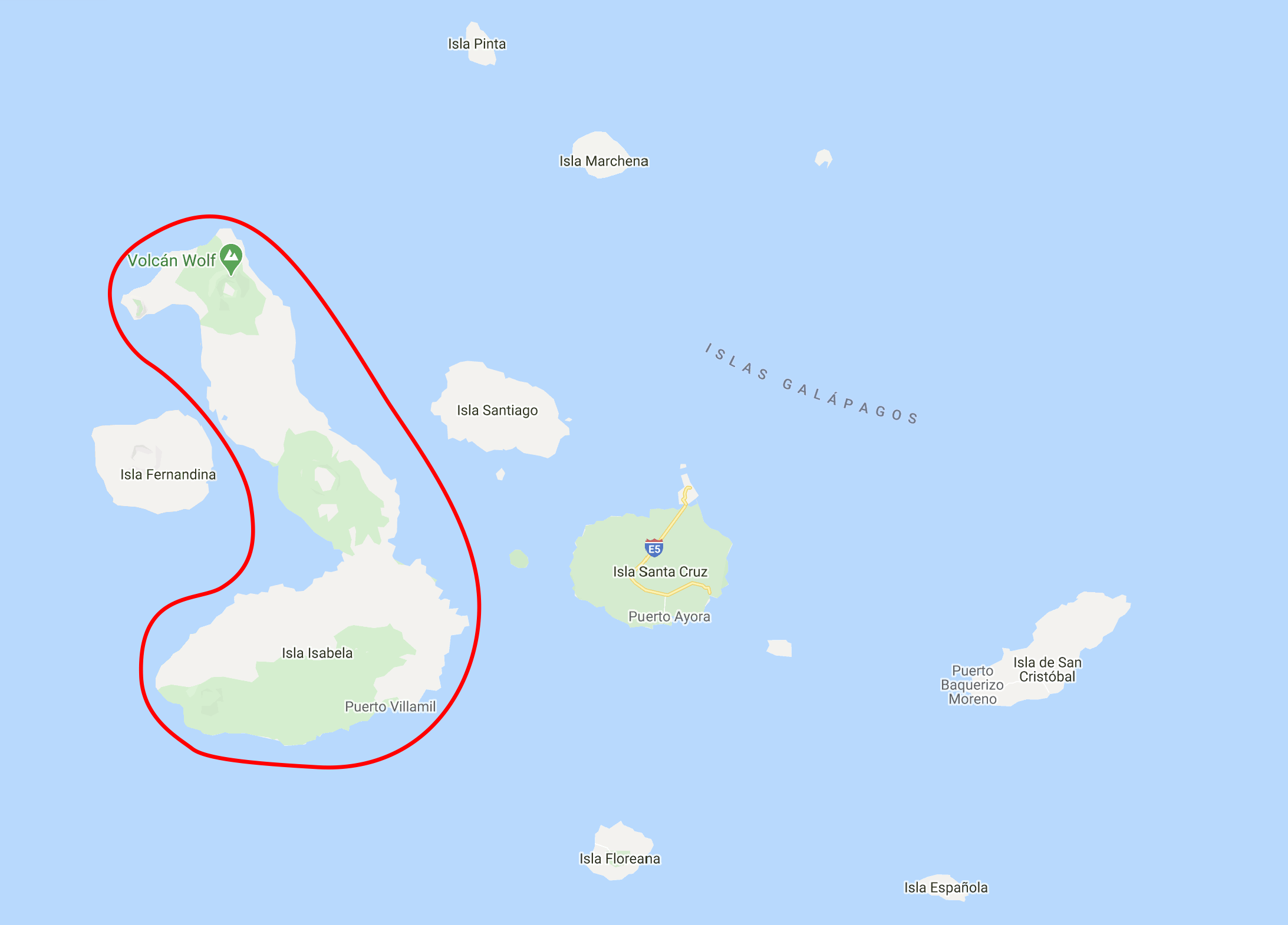
Here’s Isabela Island, for reference again. And Puerto Villamil, the main town, is on the southern coast.

Welp, as is often the case with traveling, that is NOT what happened. We talked to a few shopkeepers and realized that since the next day was New Year’s Eve, stores were going to be closed for the next two days aka the rest of our time on the island. If we wanted to bike instead of walk the 3+ miles each way, this was our last chance. There was really no question… we went back to the hotel, broke the news to the group that we were NOT going to be having a chill rest of the day, and quickly got ready for another outing.

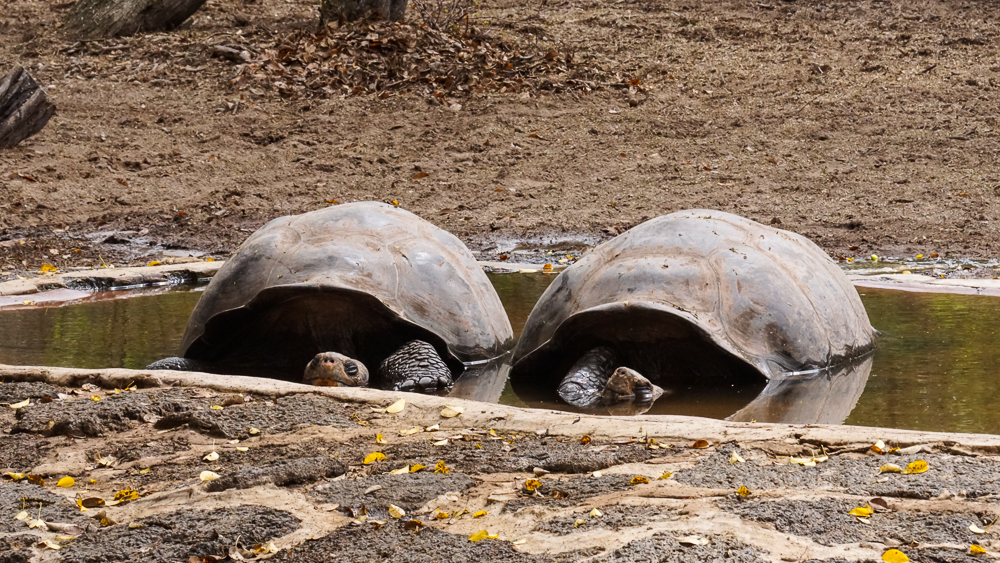
The girl at the bike rental place gave me a map and some recommendations of where to go and in what order. I love it when someone removes the guesswork and just tells you what to do! She showed me how to get out of town and then recommended that we visit the tortoise breeding center and flamingo lake before following the bike path. There was a general “Do we really have to see more tortoises?” vibe coming from the group, but since she who holds the map holds the power, I said yes, we did. And so, off we went. Also, before you start thinking of me as some sort of travel dictator, I’ll just say that we saw a lot of tortoises on our trip and no one ever regretted a tortoise sanctuary/breeding center visit in hindsight, this time included.

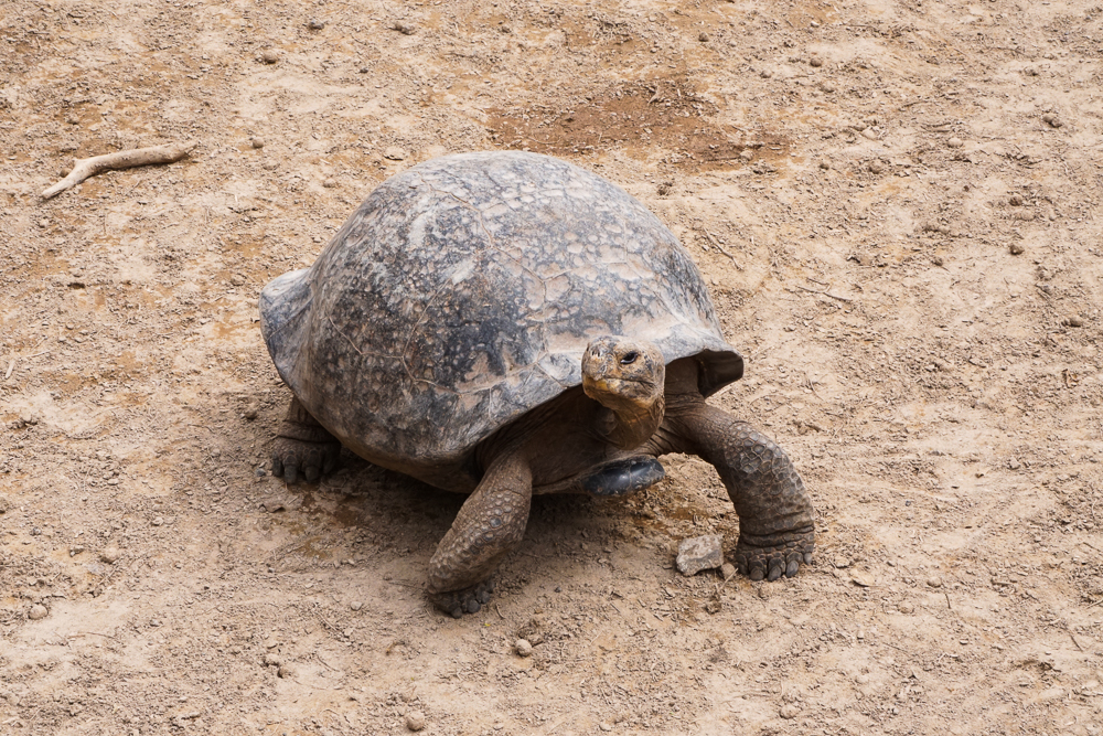
How could you say no to this?

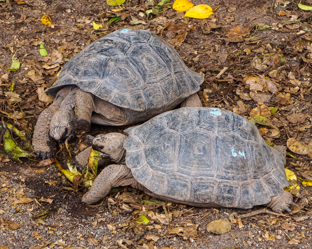
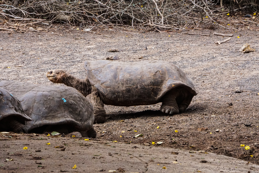
Isabela is, by far, the largest island in the Galapagos. It’s nearly four times the size of the second largest island, Santa Cruz, and was formed by six shield volcanoes. Isabela is home to the most wild tortoises of any island, and due to its size and difficult-to-traverse topography, there are actually five different subspecies of tortoises found across the island. These roam freely in five of the volcano calderas.

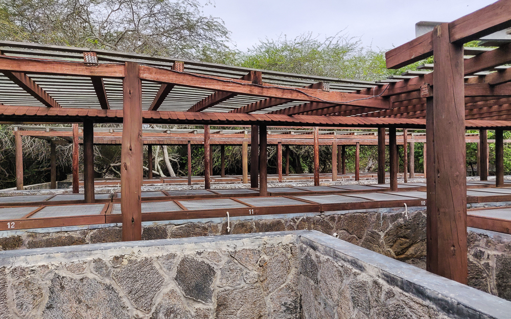
The tortoise breeding center on Isabela was founded in 1995 after some fires in the southern part of the island reduced the southern tortoise populations. Even before that, the tortoises faced survival challenges, such as competition for food with an ever-growing population of non-native goats (these have since been eradicated from Isabela). Tortoises were brought from across the island to the center to breed, and the populations have been seeing steady growth ever since. The center protects eggs and hatchlings, and once the tortoises grow big enough to give them a good chance of survival, they’re released.

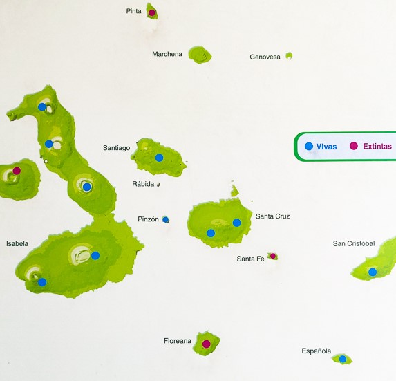
This map shows where all of the subspecies of Galapagos tortoise are from. As you can see, there are five on Isabela, and they’re each somewhat centered on a caldera.
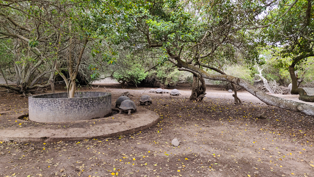
Tortoise pens at the breeding center
The cages for the baby tortoises
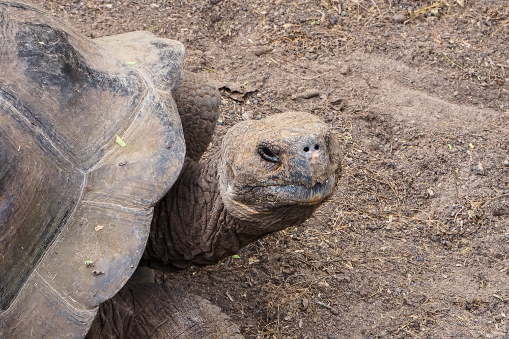
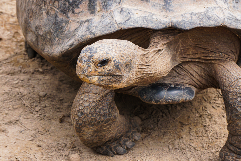
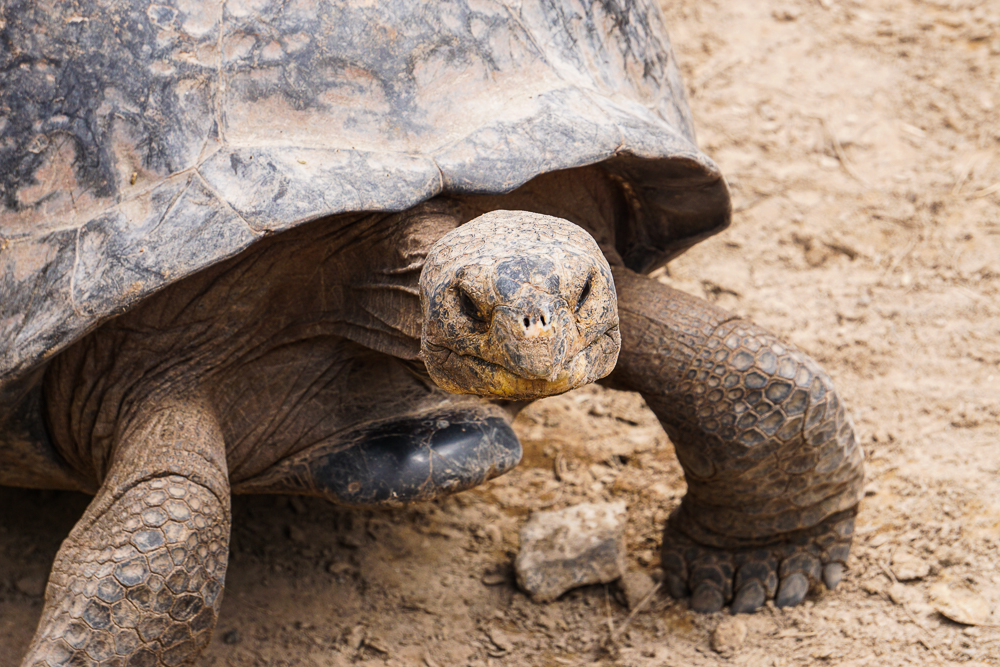
Face of a serpent
Neck of a giraffe
Feet of an elephant
I love this. Just hanging out!
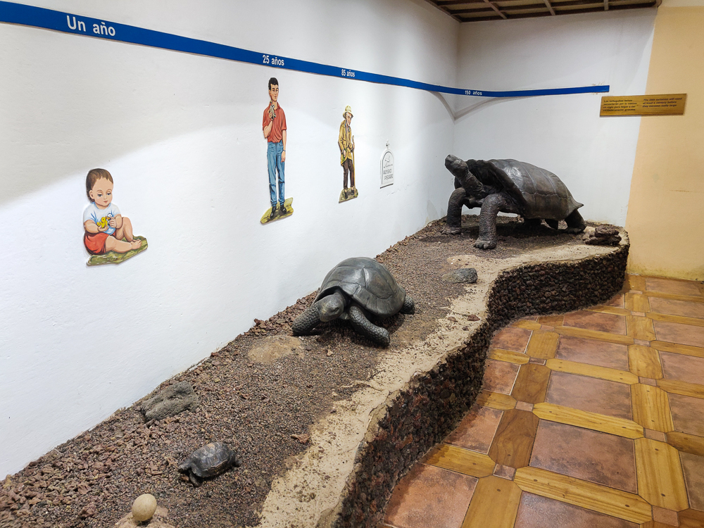
I enjoyed this visual aid in the little information center. It shows a little timeline of human life vs. tortoise life… the human life starting with a baby and ending with a tombstone around 100 years (optimistic)… and the tortoise starts with an egg and ends with a full-grown tortoise still alive at 150 years.
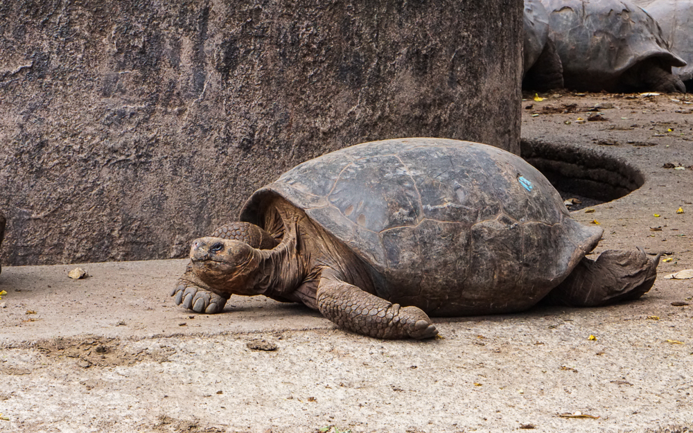
Hehe I thought it was funny seeing this tortoise flopped on the ground. Looks like she’s having just one of those days, you know?
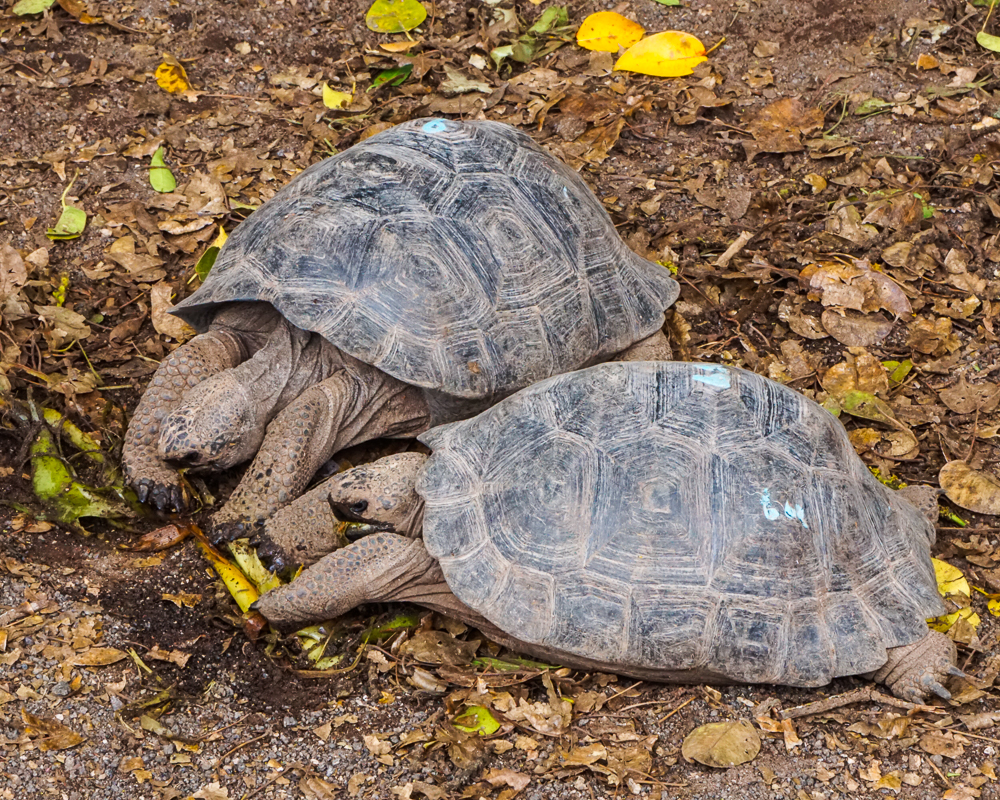
The tortoises at the breeding center are fed three times per week.
These tortoises were going CRAZY for their leaves.
This guy got scared and hid in his shell. It’s pretty cool… they tuck their heads in and then use their arms to cover/shield their heads.
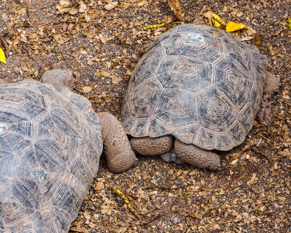
LOOK AT THIS SHELL. This is a Cinco Cerros tortoise and their shells are just about as flat as they get. It’s almost comical.

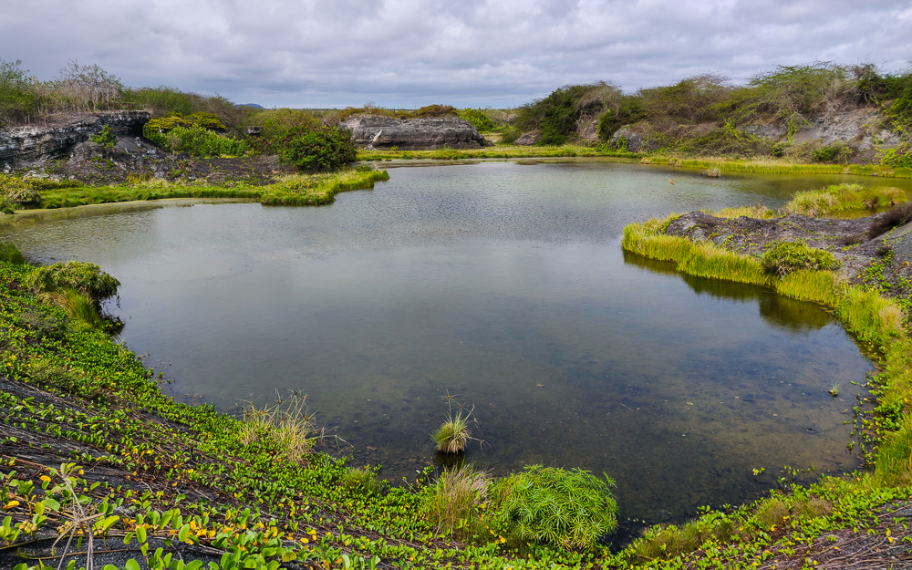
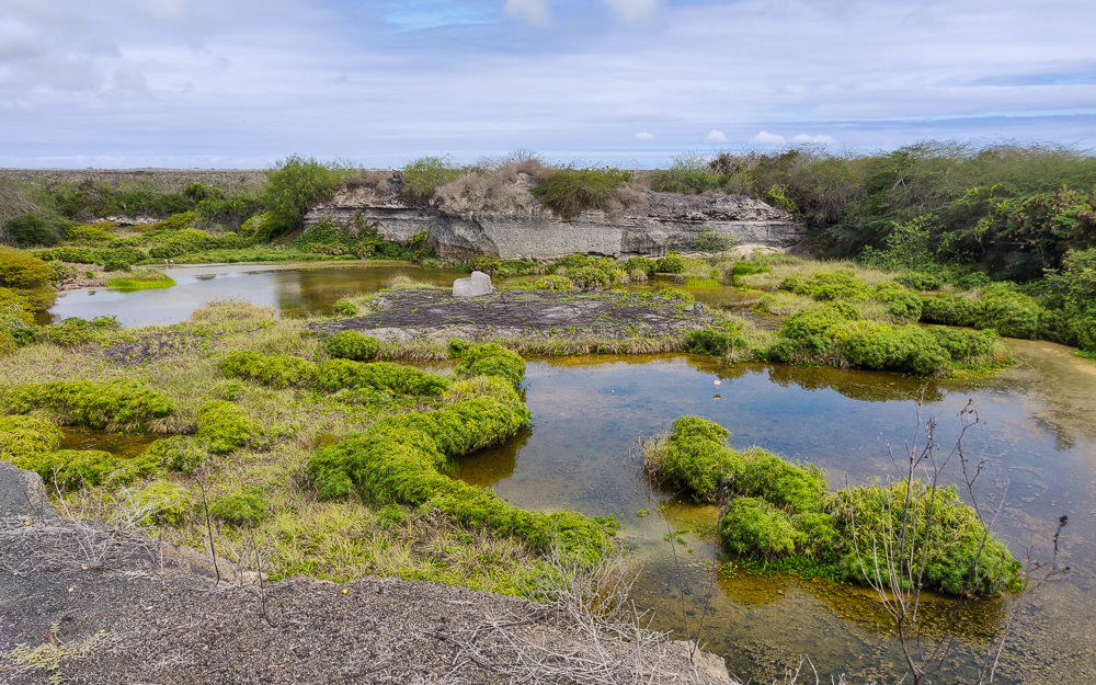
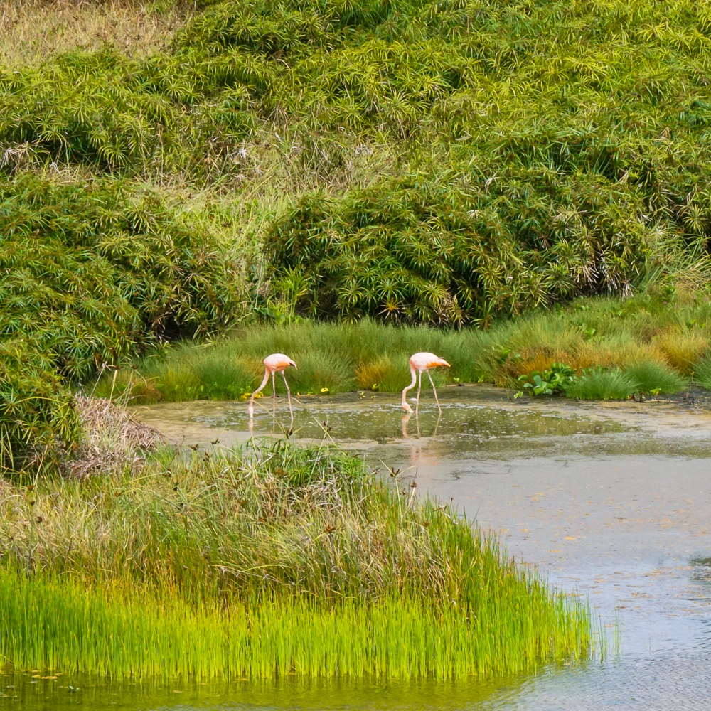
After we left the breeding center, we biked a bit farther down the road to hopefully see some flamingos! Isabela has the most flamingos in the Galapagos, and they can often be spotted feeding in the many salty and brackish lakes near Puerto Villamil. We weren’t there at an ideal feeding time and thought we were out of luck when we reached the first lake and saw nothing. Luckily, there were some people coming off of a side street who told us that there were a few hanging out in the next lake over! Awesome!!

The empty flamingo lake… but even flamingo-less, it’s a pretty view!
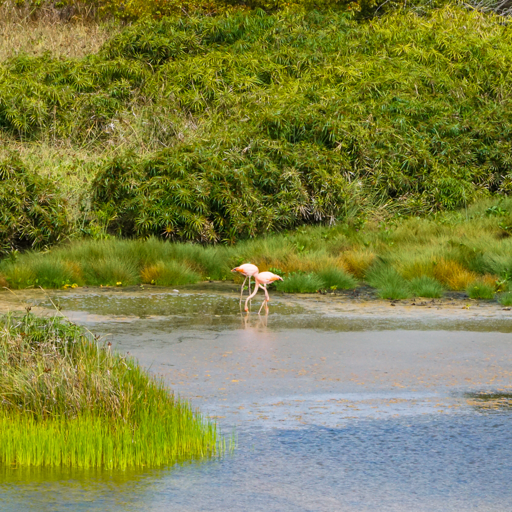
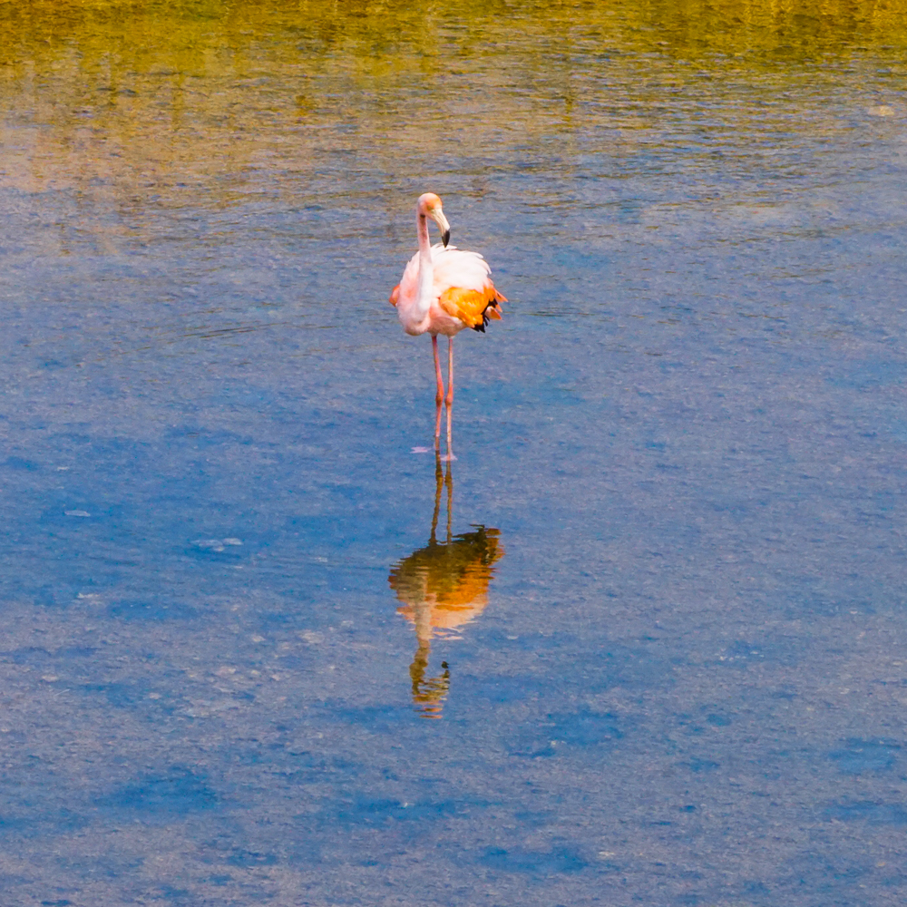
Flamingos!! You can (maybe?) see one flamingo in the front lake area, and there are two on the far end of the second lake area.

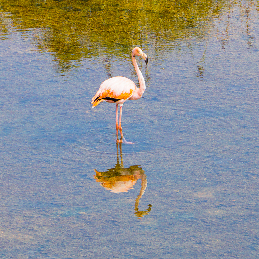
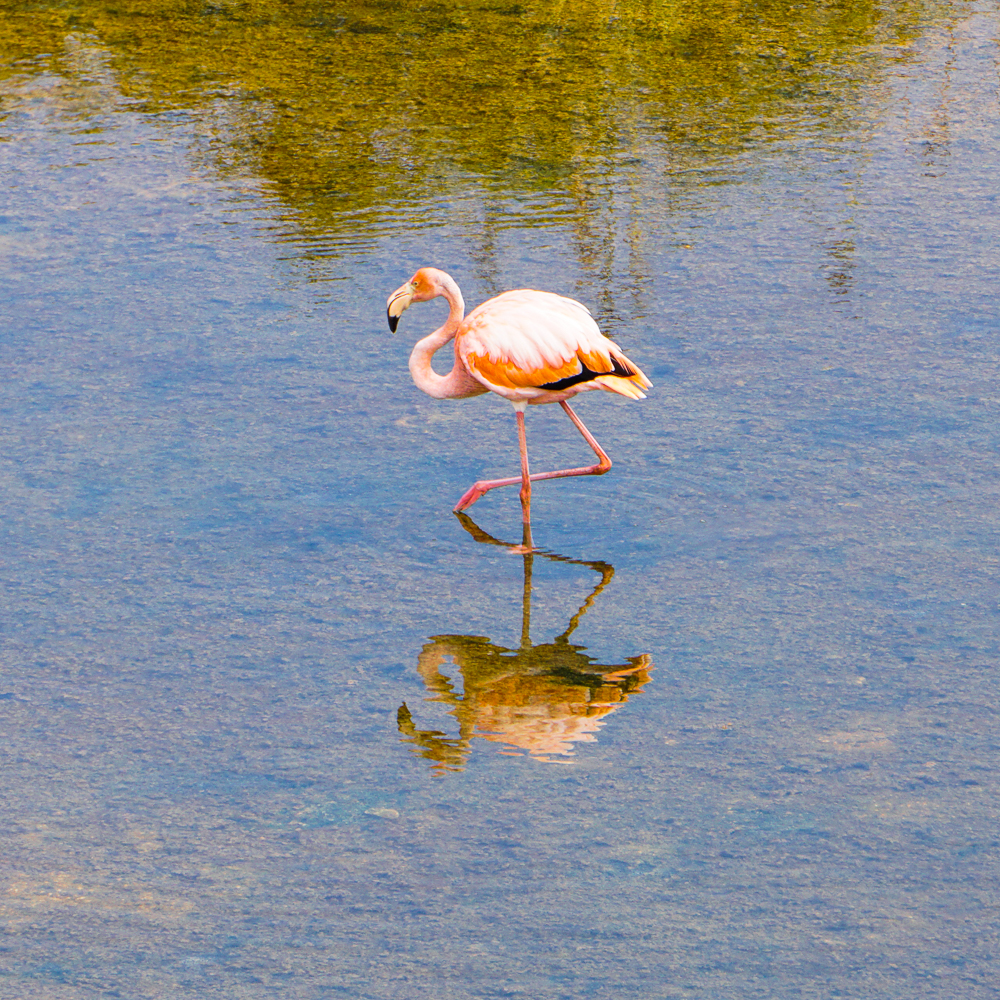
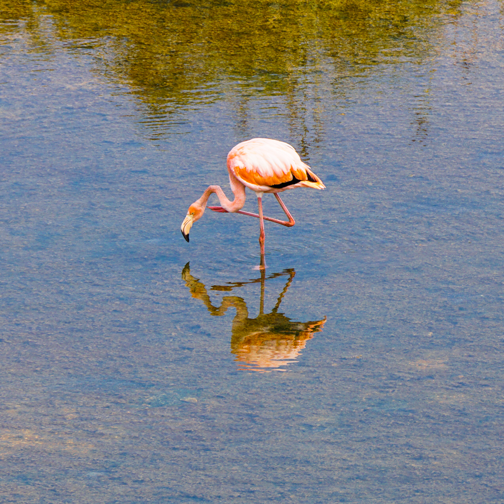
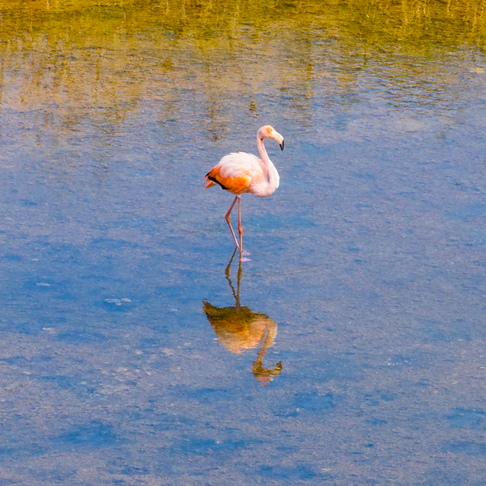
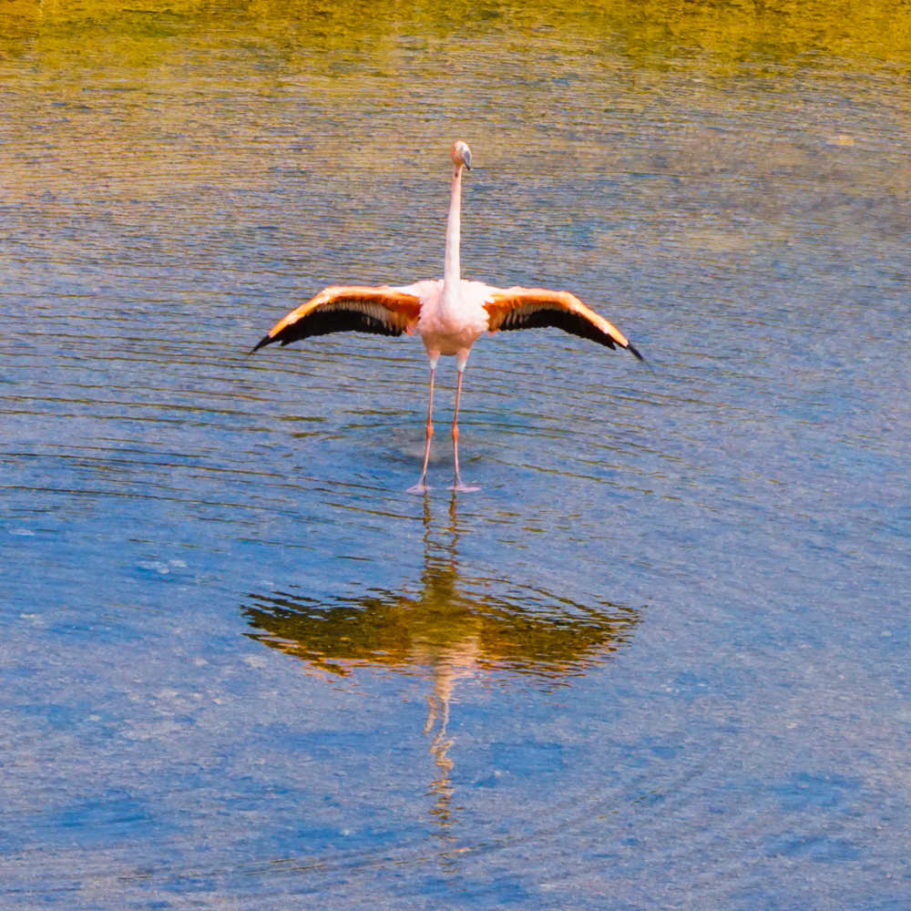
The flamingos were pretty far away, but that didn’t make seeing them any less exciting. My camera lens wasn’t even nearly strong enough to get good pictures of them, so my uncle taught me about the “poor man’s zoom” aka take as many pictures as you can, and once you’re looking at them on a computer, crop the best-quality ones. Ha! So… I took a lot. You can judge the effectiveness of that strategy for yourself.

Flamingos are just so cool
I love the shape of its neck and legs
And the reflection is pretty great too
These two were so far away that there was really no hope

THEY’RE SO PRETTY

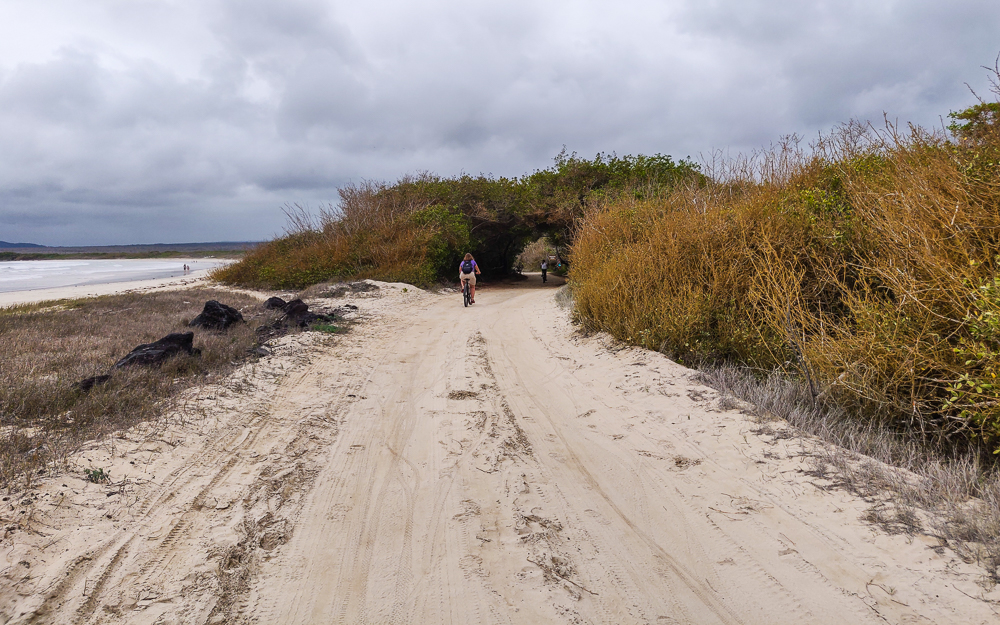
From there, we biked back to the main road and started on the bike trail. The trail started with a sandy stretch, but that thankfully became a nice, packed-gravel path. It was a super pleasant ride, mostly flat with a few uphill sections that weren’t too bad if you accelerated into them a bit.

This sandy stretch was NOT my favorite part of the path. Also, very bold move of me to take a picture while biking on this because I wasn’t feeling especially stable.
Doesn’t this look like it’s meant to be a painting?
Hooray for gravel!

We decided to ride to the end of the path first and then slowly make our way back, stopping at the different sights along the way. The path ends at the Wall of Tears (Muro de las Lágrimas), a memorial to one of the many sad chapters in the Galapagos human history. After World War II, a penal colony was established on Isabela as a bad solution to the problem of an oversaturated prison system in Ecuador. If you remember from the Galapagos History post, there were other penal colonies in the Galapagos throughout history, and none of them ended especially well. This one was no exception.

In 1946, about 100 inmates and 30 guards were sent to Isabela. Wooden structures used by American soldiers during WWII were repurposed into prison buildings. From the very beginning, it was a nightmare. There were significant food and water shortages. Many prisoners died from tuberculosis and other diseases. The guards made up pointless tasks to keep the prisoners occupied, the worst of which was constructing a hulking wall out of lava rocks. This process involved harvesting stones from a not-so-nearby quarry and carrying them to the wall location where they were then broken into smaller pieces and stacked on the wall… all while baking in the harsh Galapagos sun. The wall became known as the place where “the strong cry and the weak die”.

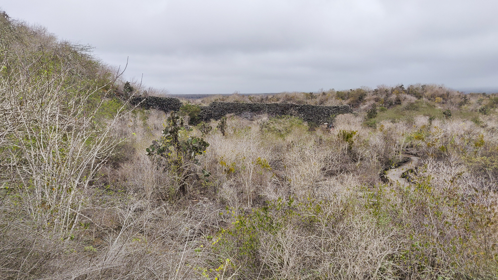
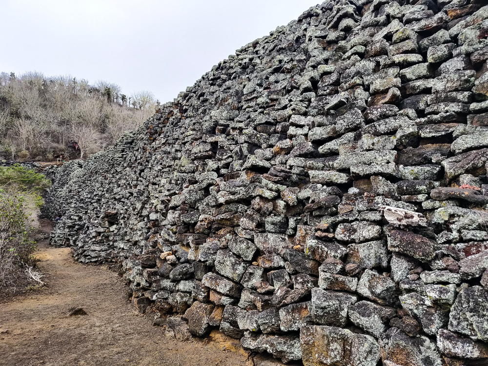
First glimpse of the Wall of Tears
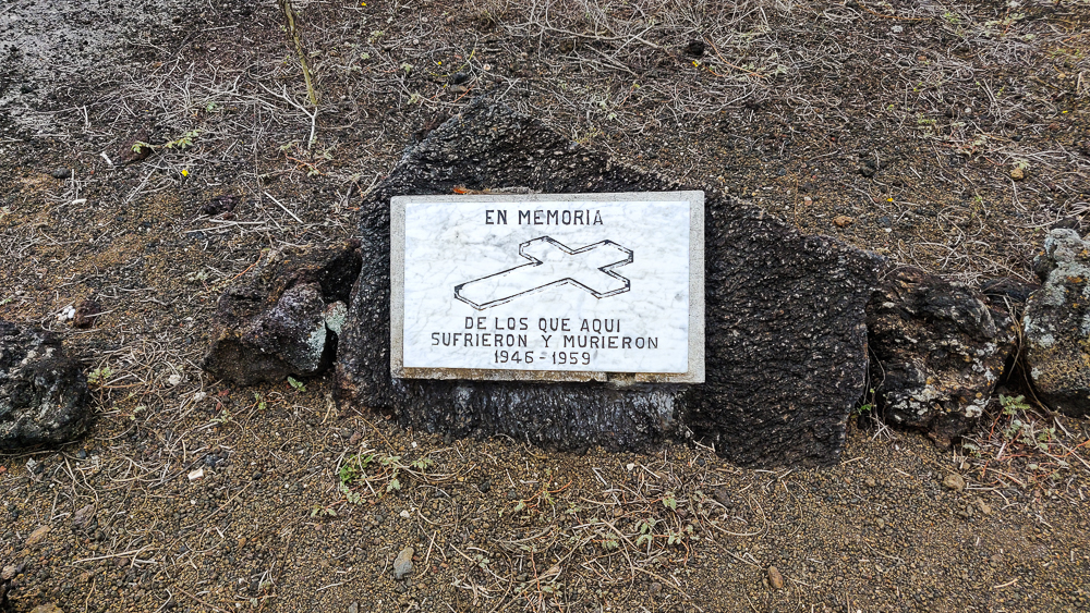
“In memory of those who suffered and died here 1946-1959”
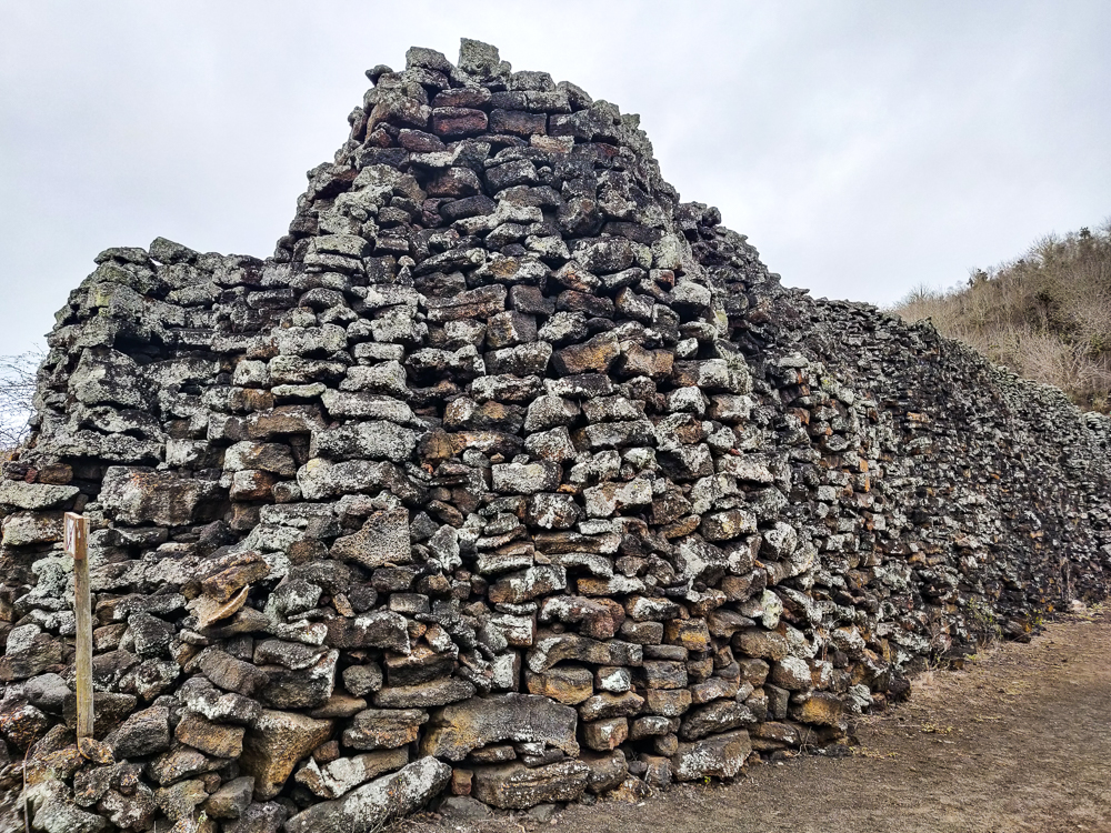
Up close

This project was a death trap for many reasons. Those who weren’t pushed to exhaustion by the heat and exposure were in danger of injury by the not-infrequent wall collapses. With no access to proper medical care, even minor injuries could lead to much more serious health problems. The guards were cruel and unrelenting, sometimes shooting inmates for not working hard enough. Many people died, slaving over a worthless wall. In 1958, the prisoners had had enough. They rebelled, escaped from the colony, hijacked an American yacht, and sailed to the mainland. Many prisoners and guards were killed in the uprising. The event was reported in American newspapers, shedding light on the horror of the colony, and it was finally shut down for good in 1959.

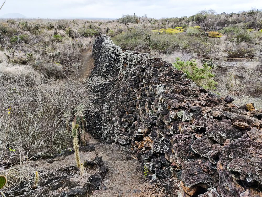
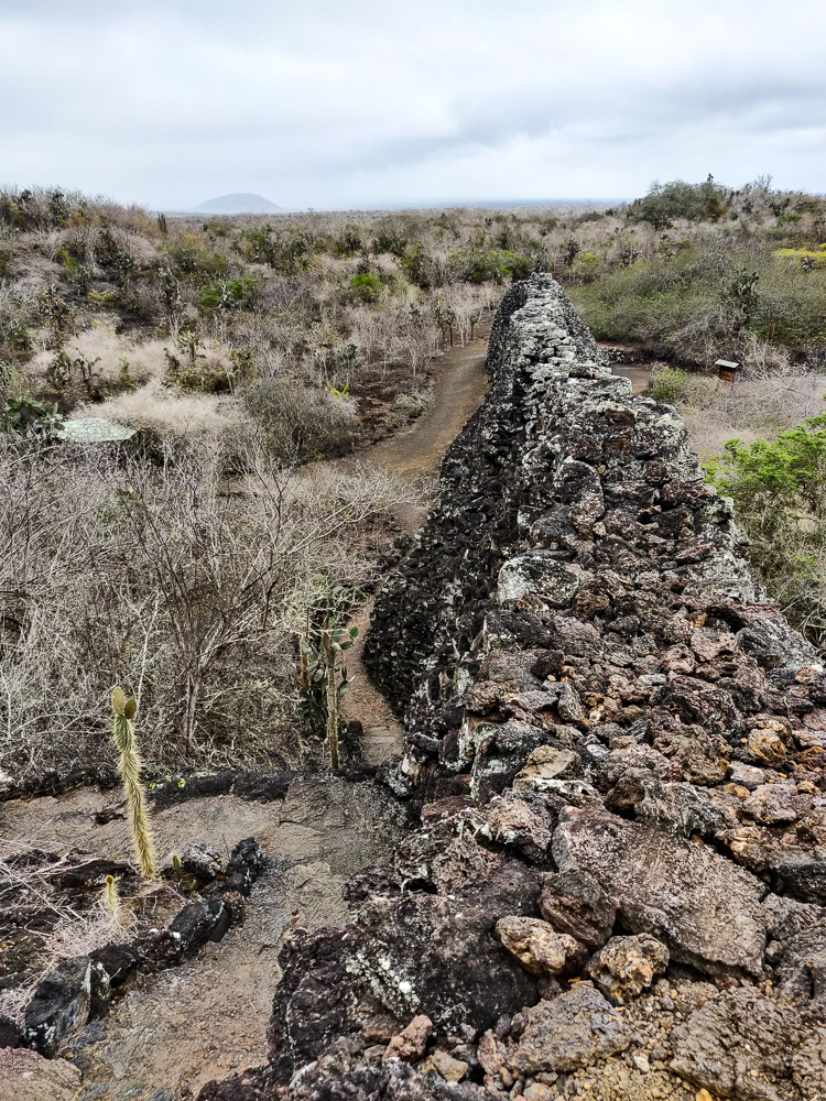
Today, this portion of wall is all that remains of the prison. It was 620 feet (190m) long, 30 feet (9m) tall, and 20 feet (6m) wide at its base. People say that the wall is haunted, that you can still hear the wails and cries of those who perished, hence the name “The Wall of Tears”.

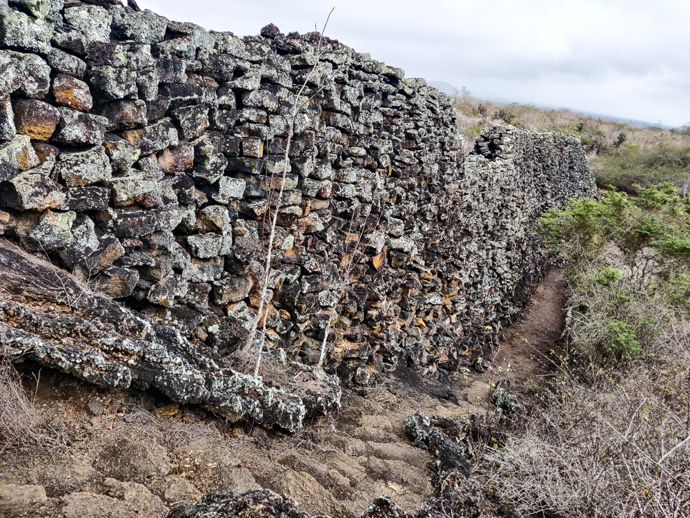
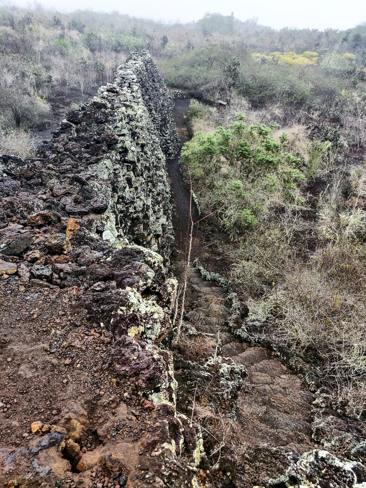
Everything that I read before we went said that you shouldn’t expect too much, that it’s not especially spectacular or impressive. I don’t agree. It has a sort of haunting beauty to it, and anyone who thinks it isn’t impressive has probably never built anything. The stones are stacked up with no mortar, hence the many wall-collapses during construction, and they’re fitted together like a puzzle. To support its height, the wall has a super thick base that narrows as it rises. Along its length, the whole thing undulates, like a snake. I don’t know whether it’s haunted or not, but there is a definite heaviness to the place. I could feel it clutching at my heart as I walked around, amplified even further by the fog that settled in while we were there.

You can see how the wall curves a bit.
This is how the weather conditions looked when we started our hike…
…and this is how it looked by the time we came down. That fog really just rolled on in while we were up the mountain.

Nearby, there’s a mountain you can climb for a view of the sea and surrounding area. The weather was already looking a little questionable, but by the time we got to the top, there was no more question. It was going to rain, and we needed to get back to town ASAP.

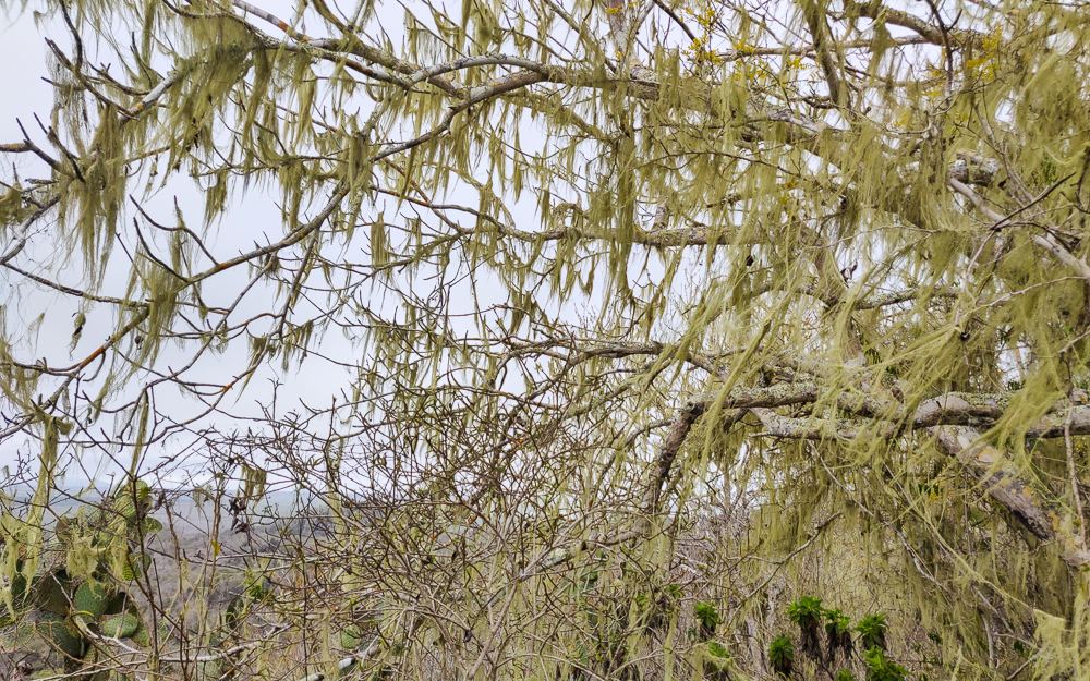
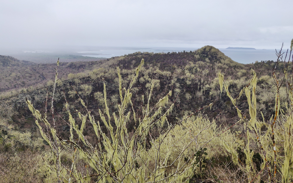
The trees looked kind of eerie with all of this moss (I assume?) hanging off of them.
We hiked approximately forever… and then there was practically nothing to see from the top.
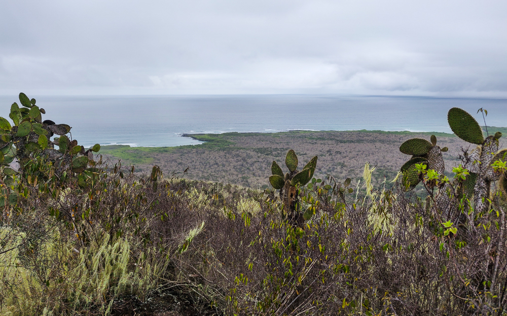
It was cool to see the coastline, though.
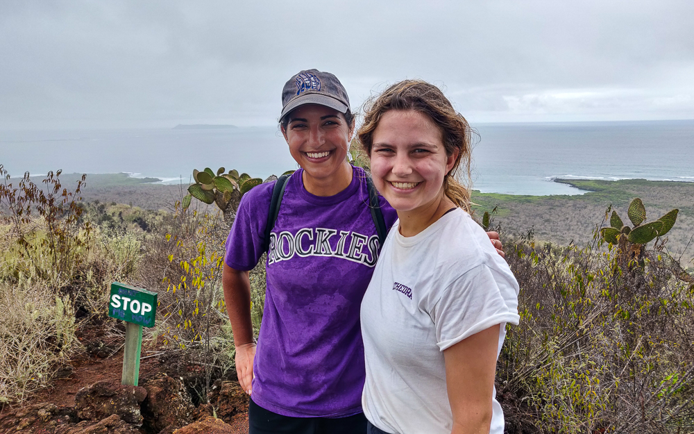
That’s rain on my shirt, not sweat hehe

The rain really messed up our plans to visit the other sights along the path on the way back to town. We made no stops, just biking and biking and trying to get back to town and out of the rain in case there was a deluge coming. So, it wasn’t quite the outing we expected, but hey, that’s life!

Related Posts

Santa Cruz Tortoises – if you’re not tired of tortoises yet… meet the tortoises of Santa Cruz!

San Cristobal Highlands – and if you’re STILL not tired of tortoises, meet the tortoises of San Cristobal!


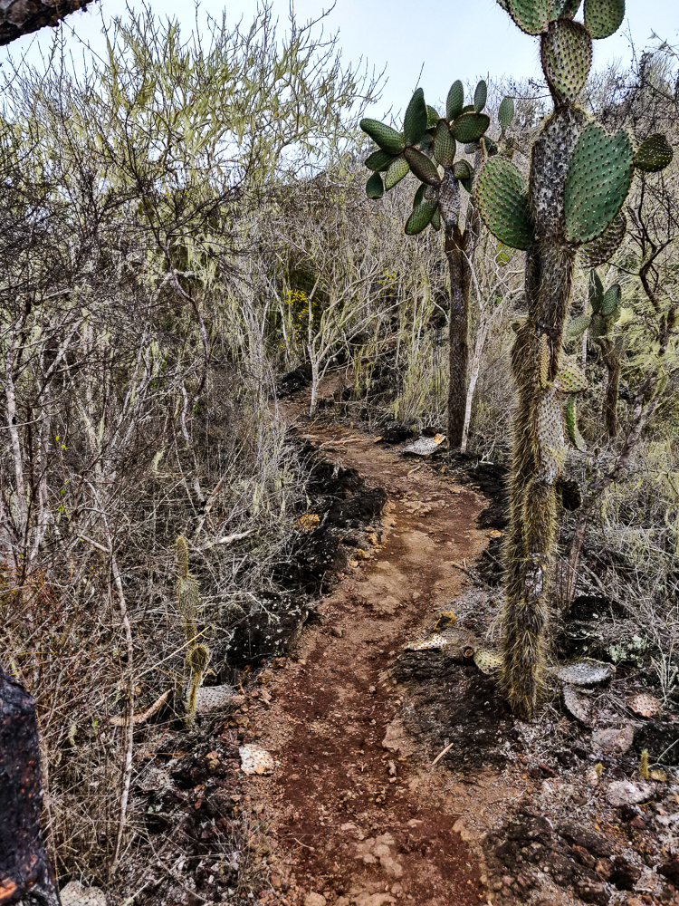
Hiking path

Welcome to Isabela Island! After our few days on Santa Cruz, we relocated one final time to Isabela, the largest island in the Galapagos. We’ll talk more about Isabela in the next few posts, but our first day’s adventures started just off the southern coast of the island in a small group of islets called “Las Tintoreras”. The islands are named for the white-tip reef sharks that can be found in abundance in the surrounding waters, or tintoreras in Spanish.

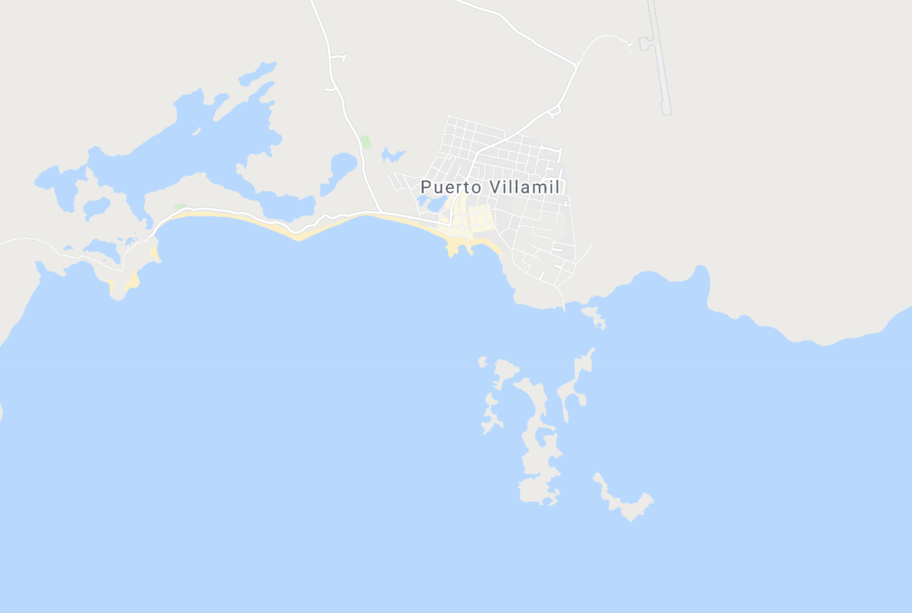
Here’s Isabela Island, for reference. And Puerto Villamil, the main town, is on the southern coast.
Las Tintoreras is the group of little islands that you see here, just off the southern coast of Isabela.

We had a “late” start to the day… our tour pickup was scheduled for 9AM which was a welcome change from the usual 7:30AM and earlier departures that we were used to. We actually had time to eat breakfast without having to just shovel food into our mouths while running out the door! What a luxury!

We also had a much shorter boat ride, which my stomach wasn’t upset about (hehehe get it?). We loaded up and were at the little islands in under 20 minutes.

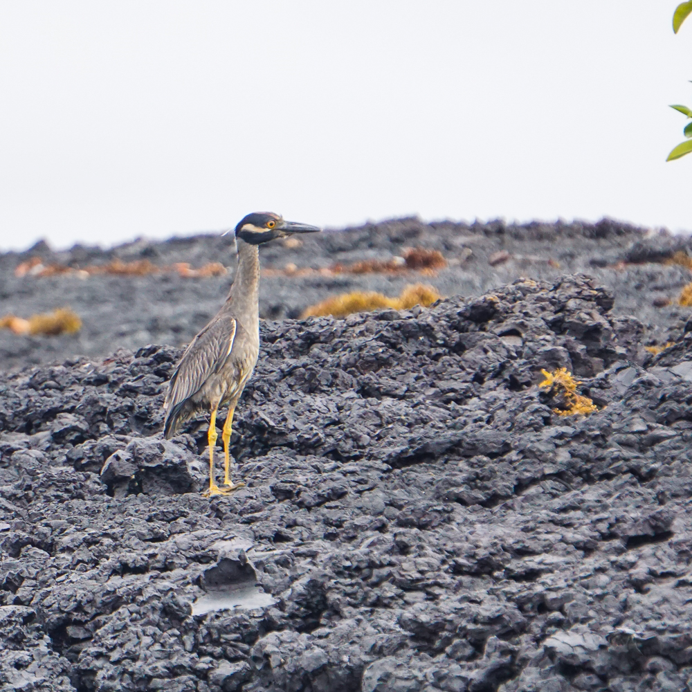
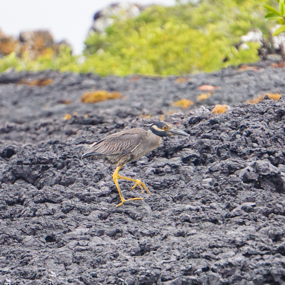
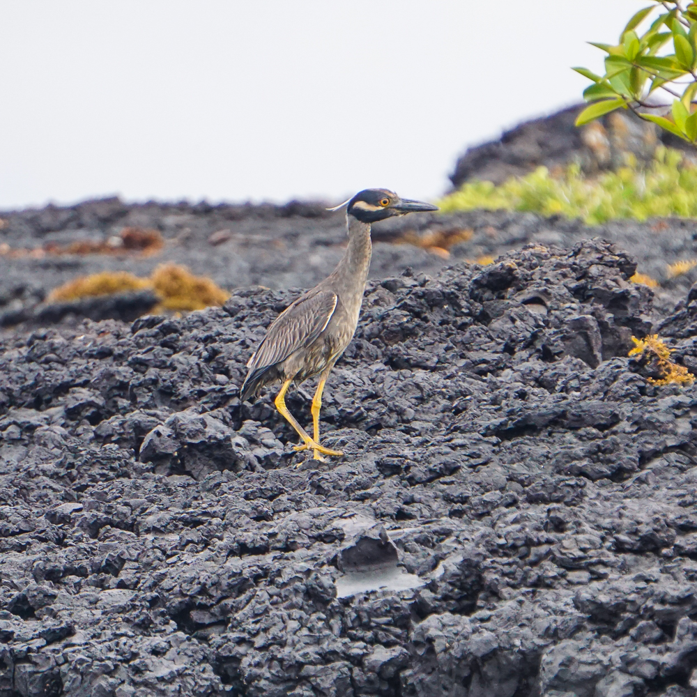
This is a yellow-crowned night heron
He was running along the shore while we rode by in our little boat
Hiii!

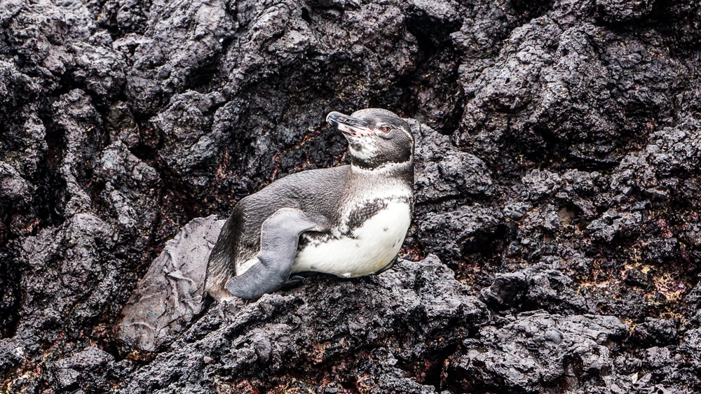
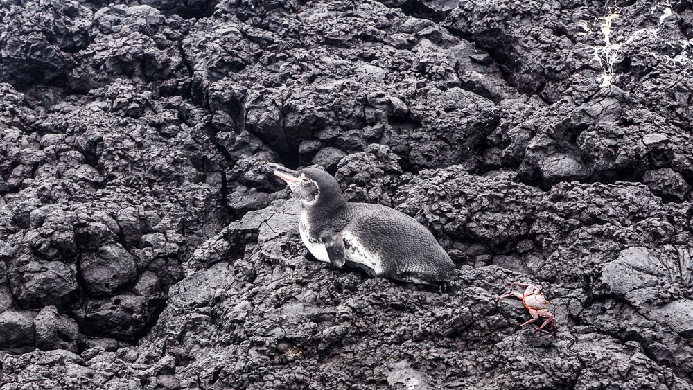
Along the way, we saw a couple of penguins! Most of the penguins in the Galapagos are located at the western end of the archipelago. If you recall from my intro to the Galapagos post (and even if you don’t), there are a bunch of different currents that converge on the islands. The Cromwell Current, an upswell current from the west, brings cold water from the ocean depths, helping to create a viable environment for the Galapagos penguins. They still have to be careful not to overheat, but in the case of the penguins that live around Las Tintoreras, they’re helped by the many lava caves and crevices along the coast which they use to hide from the hot sun.

Honestly, I find these penguins to be a little creepy looking. I’m not sure exactly why, but I don’t think the red eyes are helping.
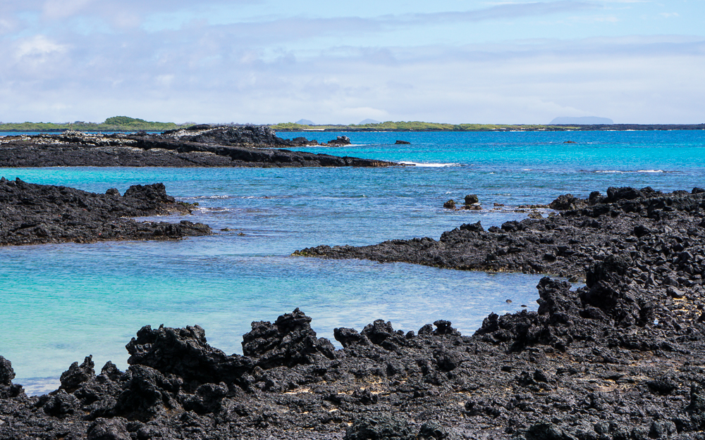
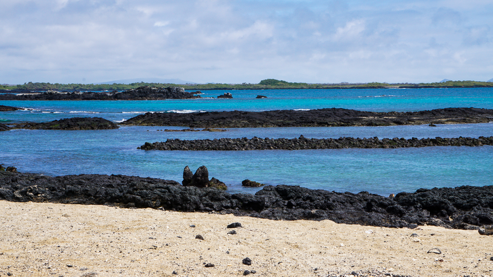
I can’t get enough of that blue water!

Galapagos penguins are endemic, meaning they only exist in the Galapagos, and are the second smallest penguin species in the world! They’re only about 20” (50cm) tall and weigh about 5-10 pounds (2.5-4.5kg). They also have the distinction of being the only penguins that live north of the equator! Most of them live in the southern hemisphere, but since the equator passes through the Galapagos, the tippy top of Isabela Island/penguin country is actually in the northern hemisphere. Made it by a hair! They eat mostly anchovies, sardines, and mullet and can swim at speeds up to 20mph (35kph) underwater while hunting!

Like other penguins, Galapagos penguins mate for life. They can mate up to three times per year, but this really depends on the availability of food. In years with extreme weather and food shortages, like El Niño years, the penguins forgo breeding or abandon their young. This means that their populations are seriously threatened by climate change. They’re endangered, with the current population estimated at fewer than 2,000 penguins.

Does this look comfortable?
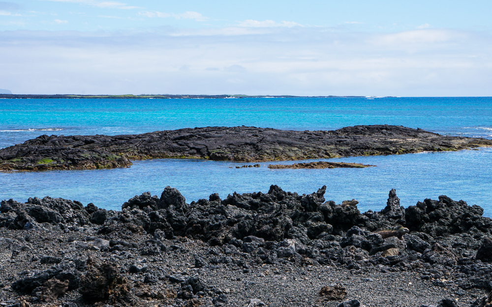
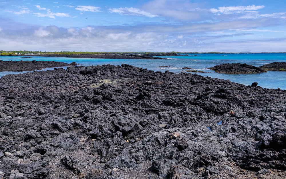
I love the contrast between the lava and the water

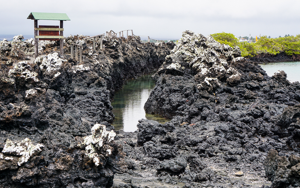
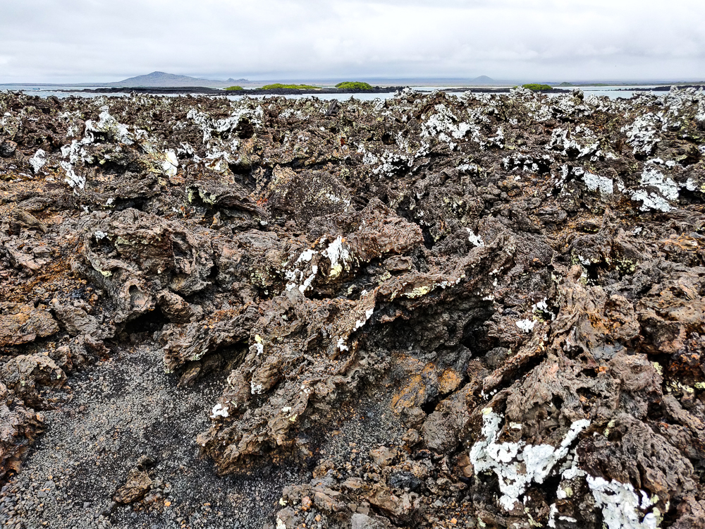
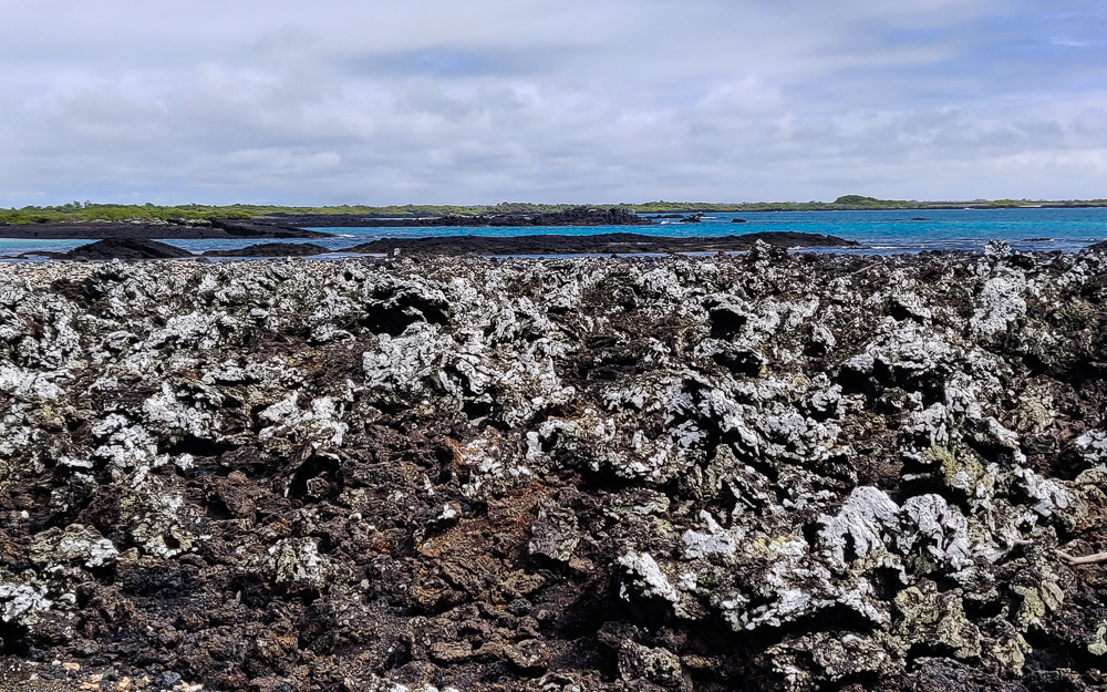
We went ashore on the largest islet, and I was amazed by how different the landscape is from Isabela, especially when the islands are so close to one another. Some people say that Las Tintoreras looks like another planet, and I’d have to agree. The landscape is dominated by funky black and reddish lava formations coated with white and green lichens on one side due to the prevailing winds.

Weird lava formations
Lots of lichens! (They’re the whitish stuff on the lava.)
In my element
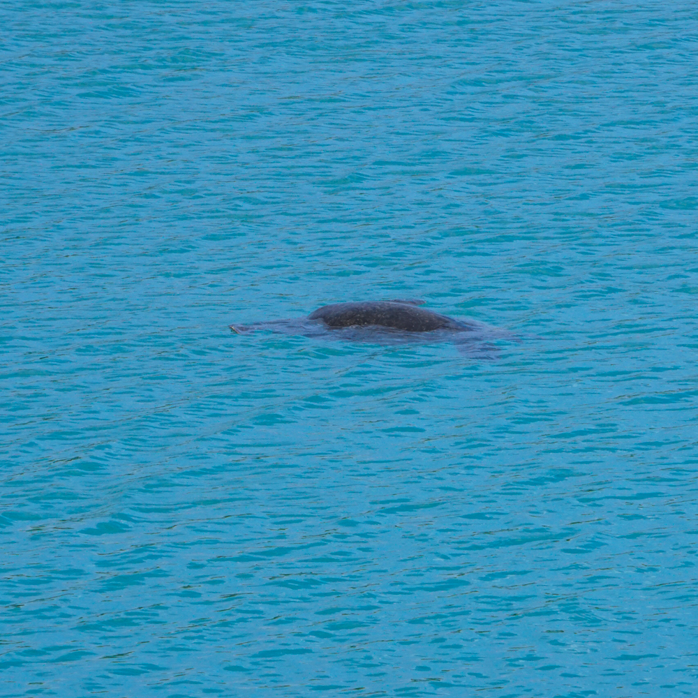
Sea turtle!

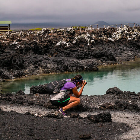
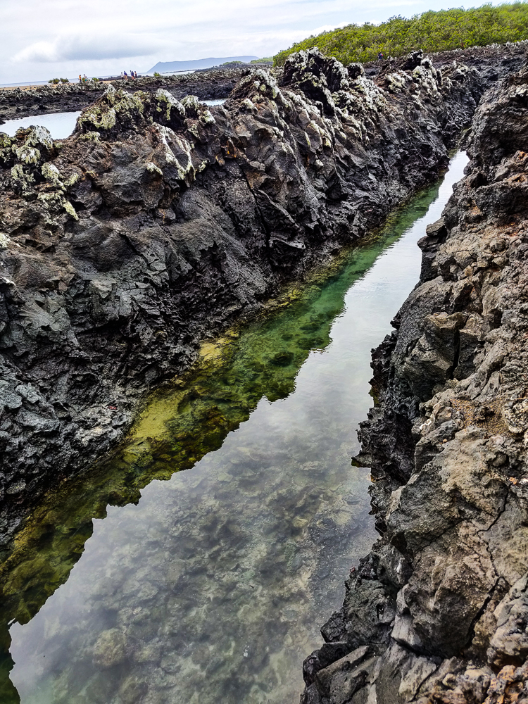
One of the highlights of the tour is “shark alley”, a volcanic crack filled with shallow water where sharks apparently like to hang out and rest during the day before they go out to hunt at night. It’s said to be the best way to see sharks in the Galapagos without being in the water with them, but unfortunately, we weren’t lucky enough to see any. Even so, it was cool to watch the little fish hanging out in the shallow water. You can practically look straight down into the water from above! I can see why it would be super cool if a shark was there.

Shark alley from another angle. I estimated that the water is about 6ft (2m) wide.
Shark alley! Or, in our case, “lots of small fish but unfortunately no sharks” alley.

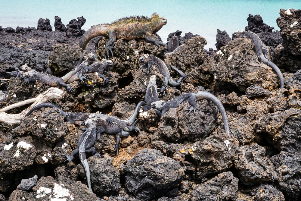
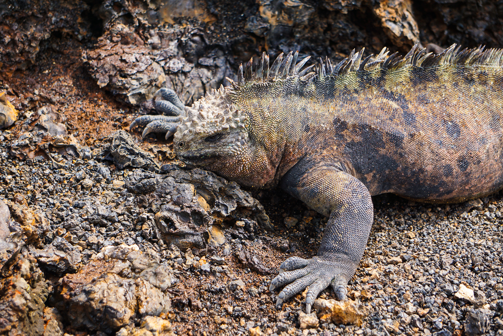
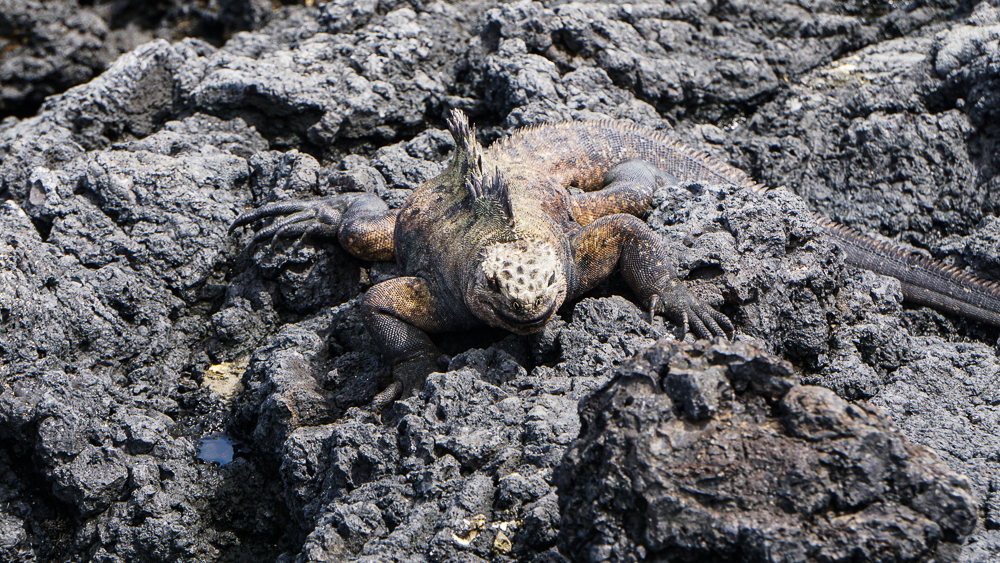
There are also a TON of marine iguanas lying around. They always seem to be lounging in groups, and that’s because they form colonies of usually 20-500 iguanas but up to 1,000! We’ve seen marine iguanas before, but I haven’t explained much about them. They’re unique because they’re the only lizards in the WORLD that are adapted to a marine existence. They’re vegetarians and eat algae and seaweed. Most of them get their food from shallow areas at low tide, but larger males will actually go diving for algae! They can hold their breath for up to an hour and dive down to 65 feet (20m) below the surface.

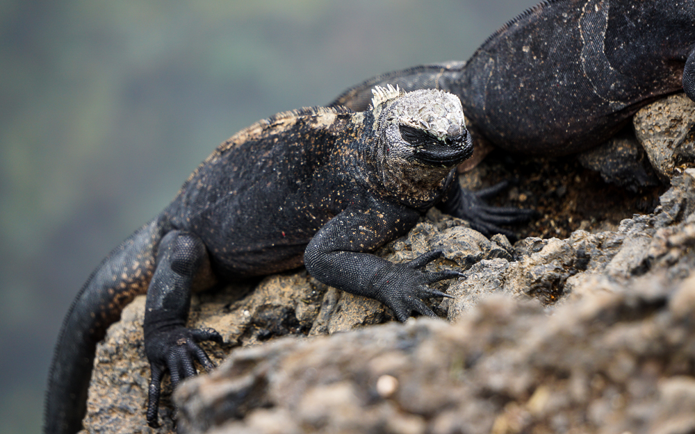
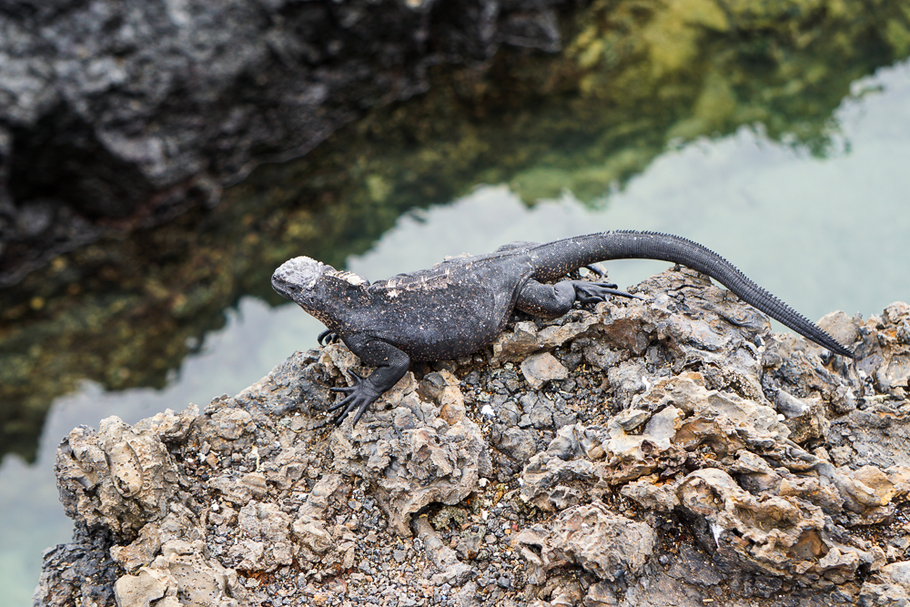
Research has shown that they probably share a common ancestor with the Galapagos land iguanas, genetically diverging around 4.5 million years ago to become a new species. They’re different from land iguanas in a few key ways that make marine life possible. They have long, sharp claws to help them cling to rocks, resisting the tides near the shore or underwater. Their tails are flatter which makes them more effective rudders while swimming. Their dark coloring helps them to warm up in the sun after coming out of the cold Galapagos waters. Flat noses and sharp teeth make it easier to scrape algae off of rocks. They also have a special gland that removes excess salt from their blood, a necessity when eating salty algae and seaweed! It’s expelled by a sneeze-like action, and it’s not uncommon to see marine iguanas with salt-encrusted faces. Aren’t they fascinating??

This is a common sight – marine iguanas draped all over the lava and one another.
Look at his little salt-encrusted face! Definitely not cute…

One thing that marine iguanas are NOT is pretty. They were called “imps of darkness” back in the day, and Charles Darwin described them as “hideous-looking” and the “most disgusting, clumsy lizards”. Ouch! It’s true, though. On land, they are horribly clumsy, but in the water, they are incredibly graceful!

Imp of darkness

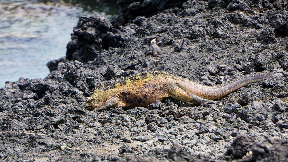
Weirdly, even with these many adaptations, it is possible, if uncommon, for land iguanas and marine iguanas to mate. There are some “hybrid iguanas” which generally have a marine iguana father and land iguana mother. Most live on South Plaza Island, a small, skinny island near Santa Cruz. It has been observed that in years when algae and seaweed are scarce, marine iguanas will search for food farther inland. On such a small island, it’s much more likely that the land and marine iguanas will cross paths. Sometimes, a male marine iguana will come across a female land iguana who is still fertile, and voila! A baby hybrid iguana is born. The hybrid iguanas are infertile and have some qualities of each parent… they usually stay on land, but they have the sharp claws of marine iguanas, making it possible to climb cacti for food. Their coloring is unique, usually dark with light speckles and a banded body which is different from both marine and land iguanas.

Some marine iguanas aren’t all black
But I don’t know if the multi coloring makes them any less ugly…
A face only a mother could love.

Anyway, back to marine iguanas. The males can get territorial, especially during mating season, and they engage in headbutting competitions if their initial head bob/body stiffening/mouth opening isn’t enough to scare off the invader. These headbutt fights can last for hours and include breaks. Usually, neither iguana is injured (except for pride-wise), but in rare cases, there could be biting and scratching.

We were lucky to catch the tail end (hehe) of an iguana fight, and my cousin took this awesome video from the boat (if you listen to the audio, you’ll hear that I put my money on the underdog, and he won!).

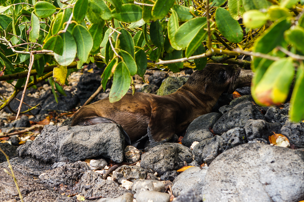
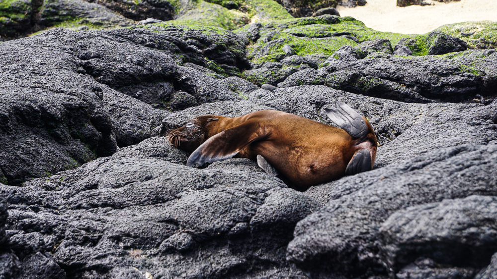
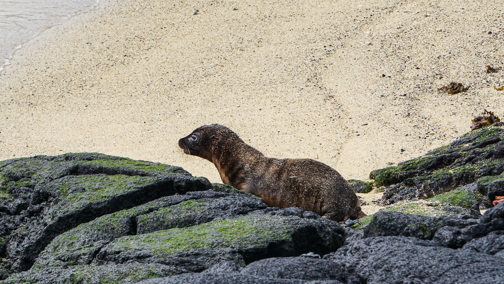
Look at this tiny baby sea lion!
So many babies!
They’re adorable
So pretty!
Love it

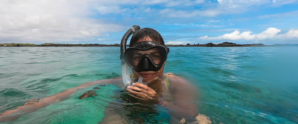
The tour also included some snorkeling time, and this was probably my favorite snorkeling of the whole trip. We got to see so many things! We were in a big, sheltered area, so the water was calm and without any strong tides. It was about 7-10ft (2-3m) deep which was perfect. There was enough space to maneuver, but you could still dive down to the bottom easily. Also, the water was incredibly clear, partly because the bottom was far enough away that people weren’t kicking sand and such up into the water.
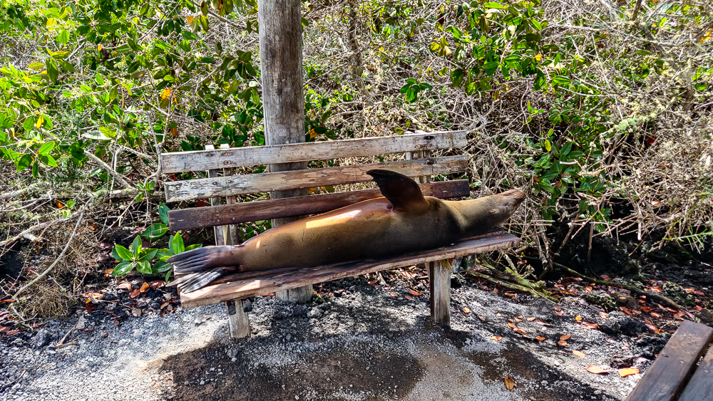
Sea lions love benches.
This is a good look, right?
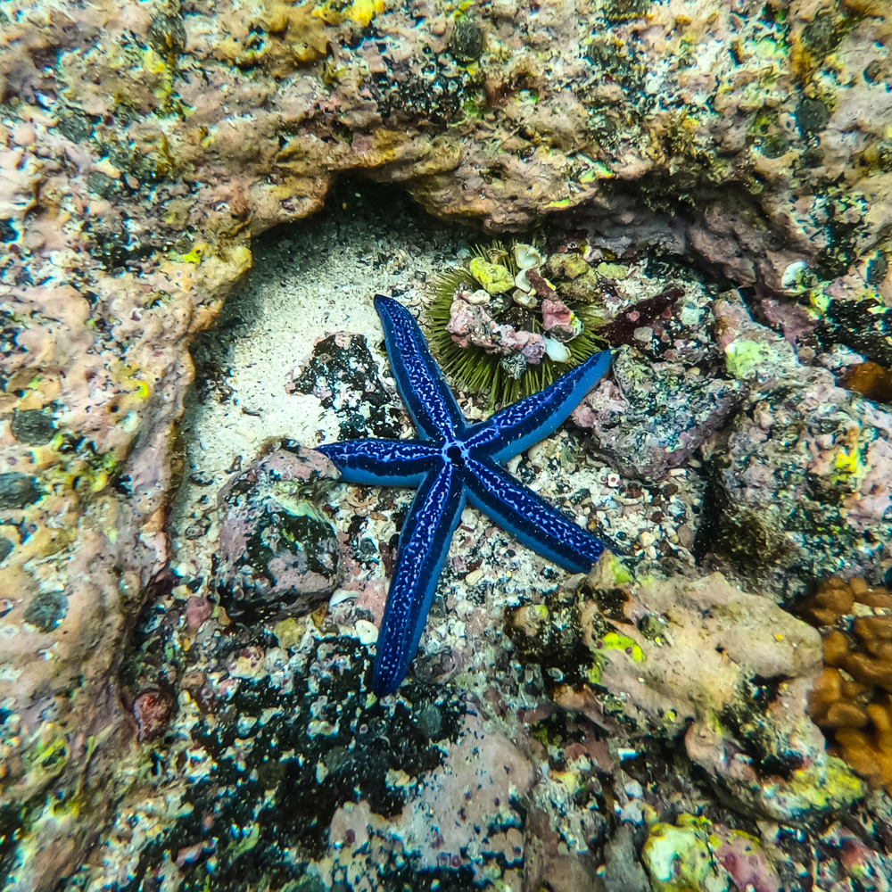
Blue sea star! These can grow as big as 1ft in diameter!
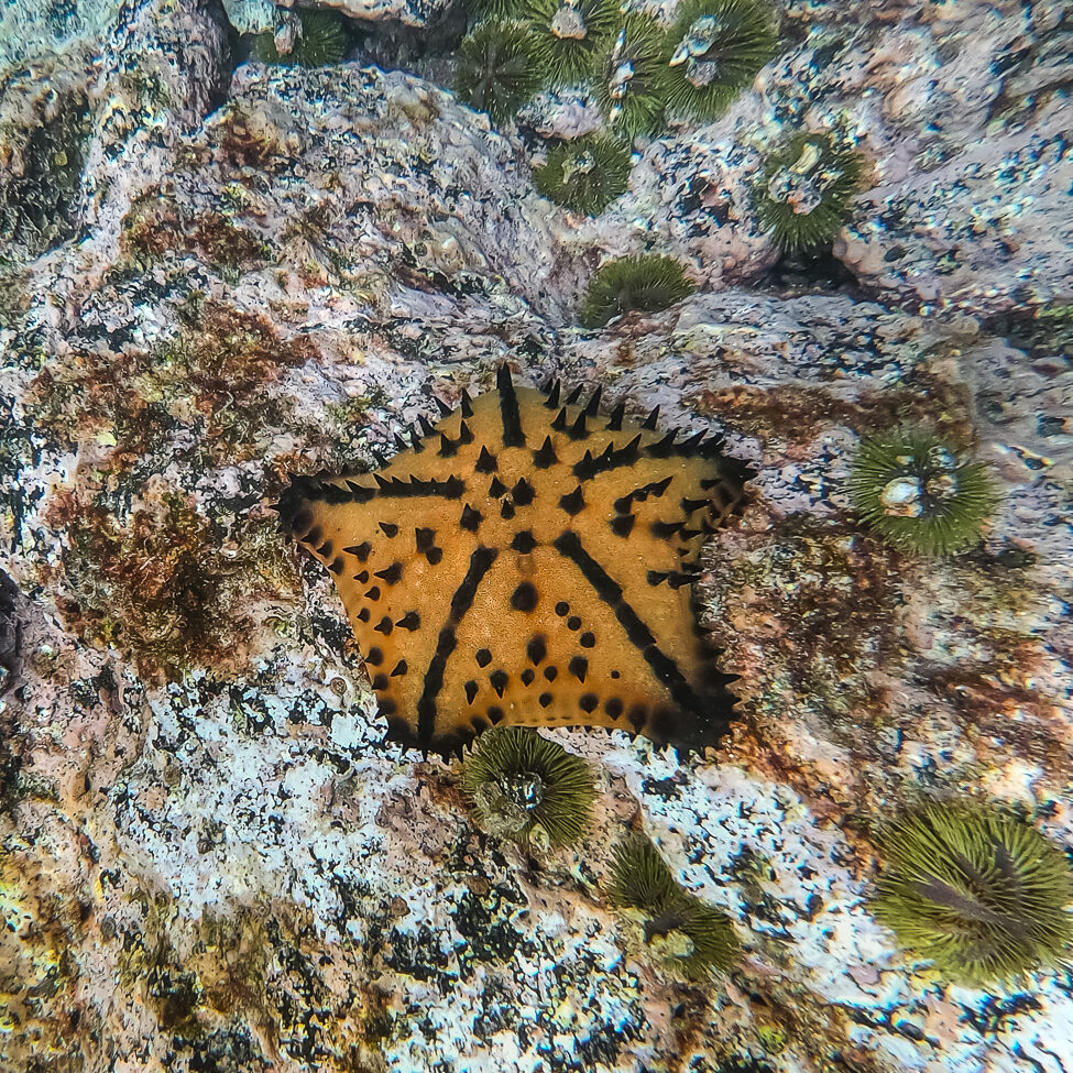
Chocolate chip sea star. The name is perfect, right?

We saw all sorts of awesome things! There was a lobster, one of those ginormous red spiny lobsters, ambling along. It looked like a satellite, there were so many antennae and appendages coming out of it. There was A LOT happening on the bottom… starfish and sea urchins and anemones and mostly things that I don’t actually know what they are, but they were pretty! There were sea turtles and a LOT of fish. I swam around with these huge schools of razor surgeonfish (I think) and pretended I was one of them. And I swam next to a marine iguana!
Here’s another video that I didn’t take (shout out to my cousin and uncle who manned the underwater camera and GoPro long after I decided I was finished taking my phone into the water with me) showing a marine iguana swimming!

The coolest thing? I SAW A SHARK!! It was probably 12ft (4m) away from me, and it was maybe 3ft (1m) long. I was alone, and I started yelling and trying to get anyone else’s attention so that I wouldn’t be the only one who saw it. I should have just swum after it because only one person even heard me/paid attention… but I was so happy! I saw a shark and wasn’t terrified! I was just excited!

I felt like my day was complete after that! Man, what a rush! The tour was definitely what I would call “short and sweet” because we saw all of that and then were back on Isabela by noon! That’s crazy. We still had more adventures ahead which I’ll talk about next time!

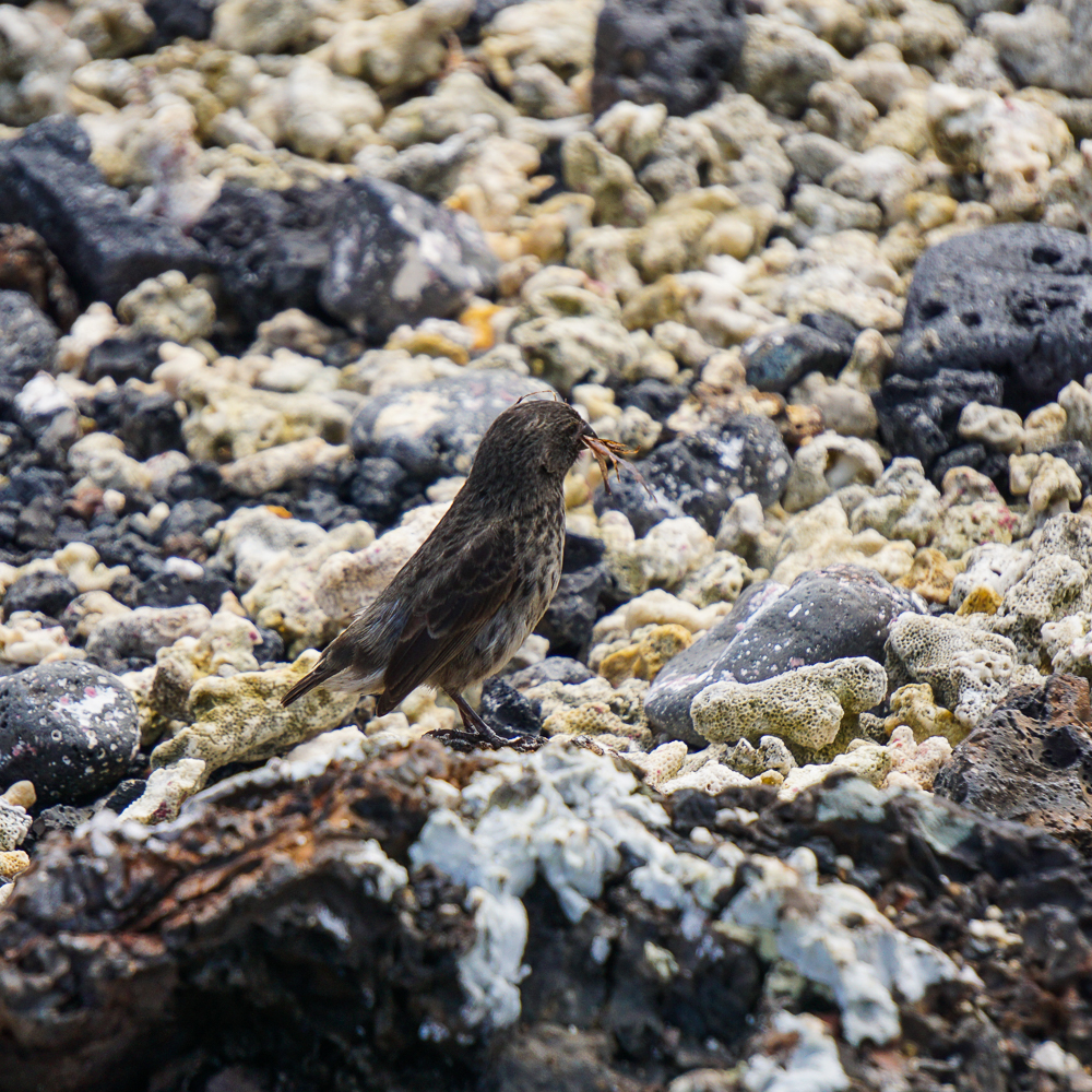
I tried to figure it out, but I have no idea what kind of bird this is. Some type of finch, but that will have to be enough.
Some sea lions posing on the dock in Puerto Villamil
Beach! And that blueee water

Related Posts

Las Grietas and Los Gemelos – check out my other favorite snorkel spot in the Galapagos, Las Grietas!

North Seymour Island – take a look at the Galapagos land iguanas and imagine what a hybrid iguana might look like.